Day 4, July 2, 2010
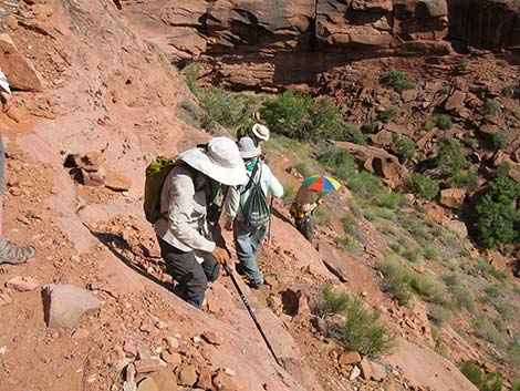
Day 4: We day-tripped down the canyon and climbed onto a promontory overlooking the Escalante River. On the other side of the river, we had a great view of Stevens Arch. We then dropped into and hiked up the Escalante for a mile or so. The crew returned via the same route, but I continued down the Escalante River to the confluence with Coyote Gulch. Hiking back up Coyote Gulch alone, I learned about the difficult traverse necessary to pass a large obstacle that blocks easy passage.
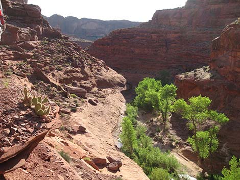 Climbing out of Coyote Gulch |
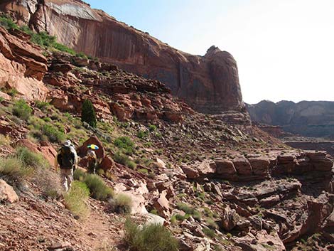 Hiking along cliffs |
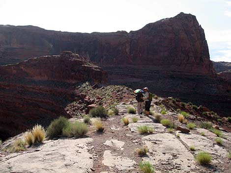 Neck of promontory leading out into Escalante River meander |
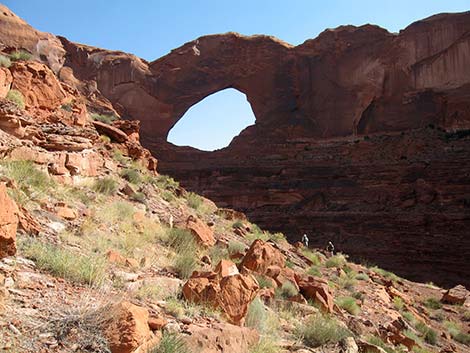 Stevens Arch from downstream |
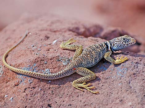 Common Collared Lizard (Crotaphytus collaris) |
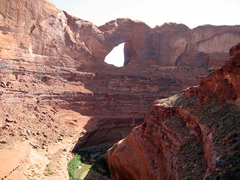 Stevens Arch from upstream |
 Escalante River from high above |
 Descending cliffs towards Escalante River |
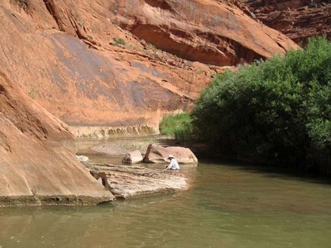 Passing a deep spot in the Escalante River |
 Contemplating more deep spots in the Escalante River |
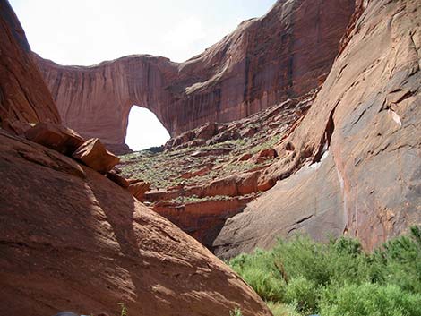 East side of Stevens Arch seen from the Escalante River |
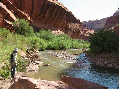
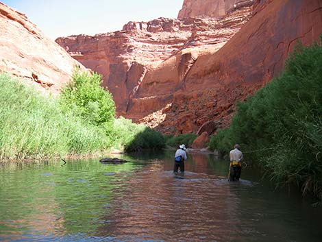 Wading up the Escalante River |
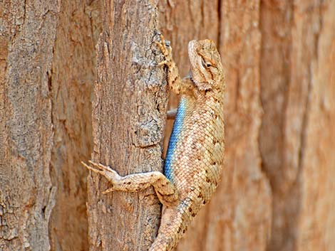 Friend along the way (Eastern Fence Lizard, Sceloporus undulatus) |
 Last view up the Escalante River |
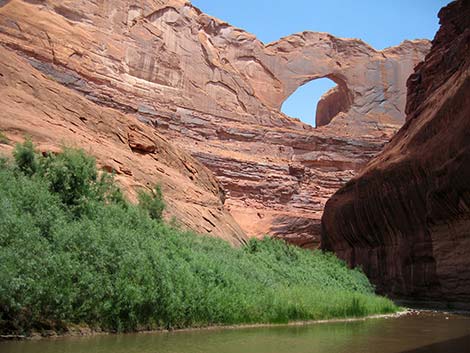 Stevens Arch from below |
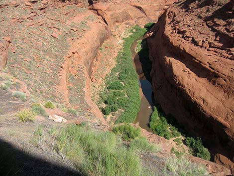
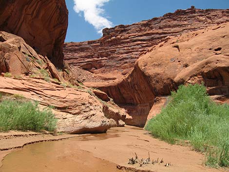
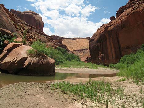 Escalante River |
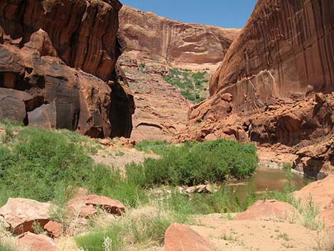
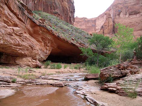
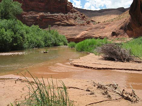 Escalante River at Coyote Gulch |
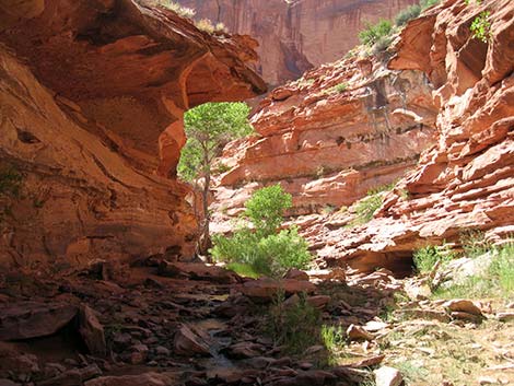
 Coyote Gulch at Escalante River |
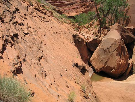 A bit of difficult slickrock traverse |
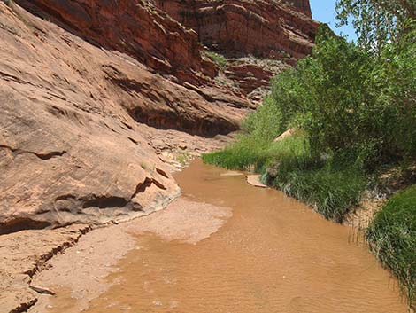 Quiet, sandy stream |
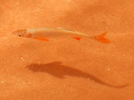 Red Shiner, an invasive species |
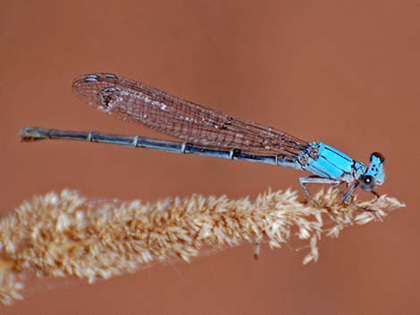 Powdered Dancer Damselfly (Argia moesta) |
 Almost back to camp |
 Back to camp |
| Coyote Gulch | Postcards | Copyright, Conditions, Disclaimer | Jim Boone's Home Page |