Hiking Around Las Vegas, Meadow Valley Range Wilderness Area
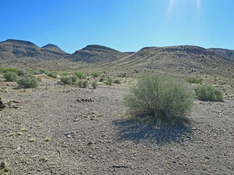
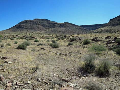
 Trailhead parking (view NE) |
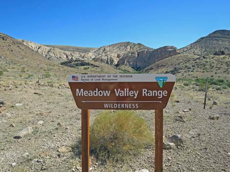
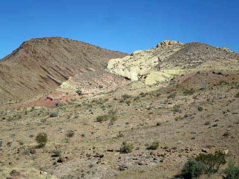
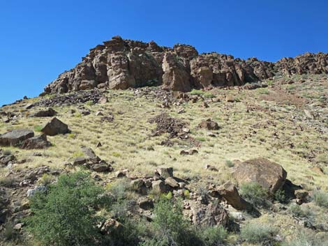
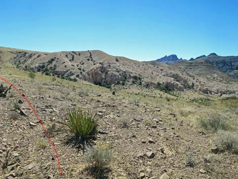
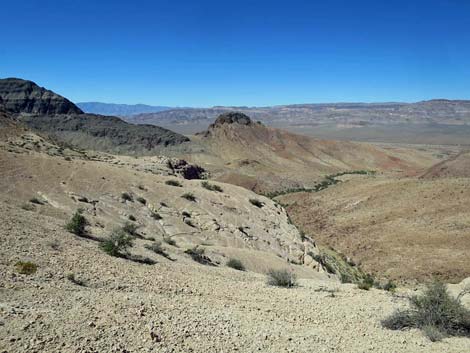
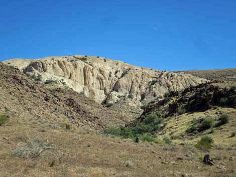
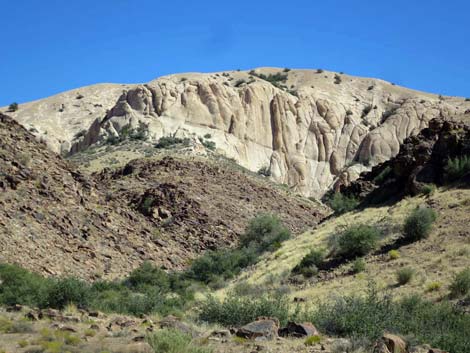
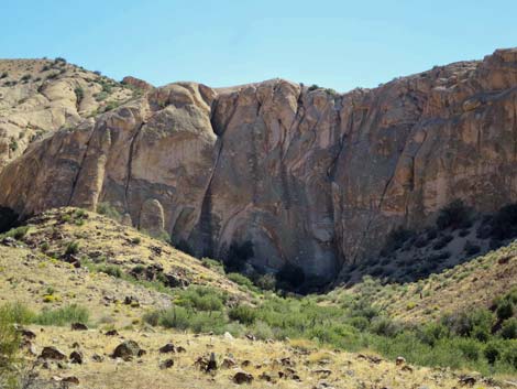
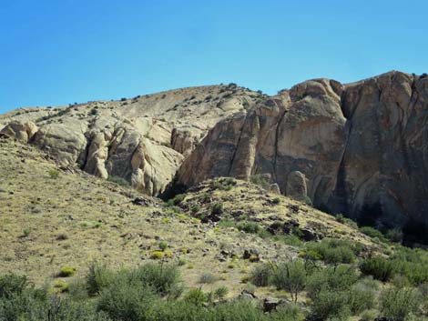
Overview The White Hills Route is a nice, 3-mile introduction to hiking in the Meadow Valley Range Wilderness Area. The route starts up a wash, climbs a short, but steep hillside onto a ridgeline, then climbs at more moderate rates to the summit of the White Hills. The area burned in a huge 150,000-acre fire in 2005, and even after a dozen years of recovery, the vegetation is sparse, but that makes for free and open hiking. These mountains are volcanic, and the route traverses lava hillsides and climbs onto white volcanic ash deposits (the White Hills). There are many route possibilities, and this route is fairly safe and easy, but the slopes of the white hills are crumbly (like smooth rock covered with gravel), so hikers should avoid steep white hillsides. Views from the summit are grand with Sunflower Mountain to the northeast, volcanic cliffs all around, and a nice view down into Meadow Valley Wash to the northwest. Link to map. |
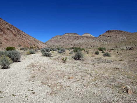
 Meadow Valley Range sign (view SE from trailhead) |
Watch Out Other than the standard warnings about driving and hiking in the desert, ... this route is pretty safe, but the slopes of the white hills are crumbly (like smooth rock covered with fine gravel), so hikers should avoid steep white hillsides. This area is remote, so be careful out there as help is a long way off. Sunflower Road, the access road, is a two-track that requires a 2WD-HC or higher vehicle. If concerned, hikers could walk the 0.8-mile access road, adding 1.6 miles to the round-trip hike (still less than 5 miles round trip). While out, please respect the land (this is a wilderness area) and the other people out there, and try to Leave No Trace of your passage. This road goes into remote areas, so be sure to bring the 10 Essentials. Cell phones don't work. |
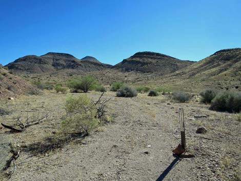
 Meadow Valley Range Wilderness Area boundary sign (view SE) |
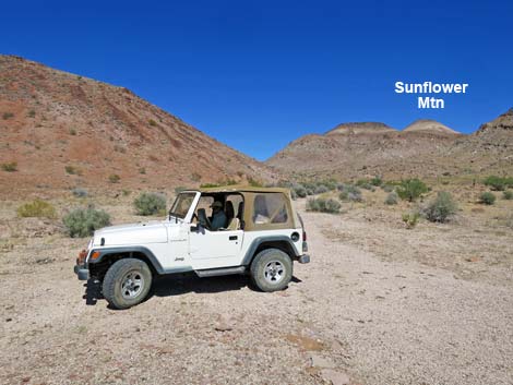
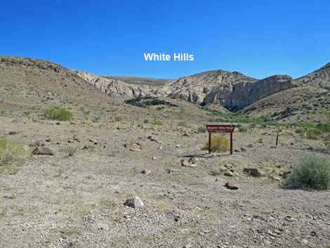
Getting to the Trailhead The White Hills Route is located in Lincoln County, east of Highway 93 and a bit north of Coyote Springs in the Meadow Valley Range Wilderness Area. From Las Vegas, drive north on Interstate-15 to Highway 93. Drive north on Highway 93 for 31 miles to Highway 168 (east to Moapa), then continue north another 11 miles (42 miles total) to Kane Springs Road on the right. Watch for a sign on the right to the village of Elgin. Turn right onto Kane Springs Road and drive northeast 14.0 miles to Sunflower Road, a narrow dirt road on the right. Turn right onto Sunflower Road and drive southeast 1.9 miles to the trailhead on the edge of the Meadow Valley Range Wilderness Area. Park here; this is the trailhead. |
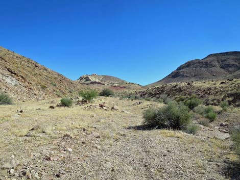
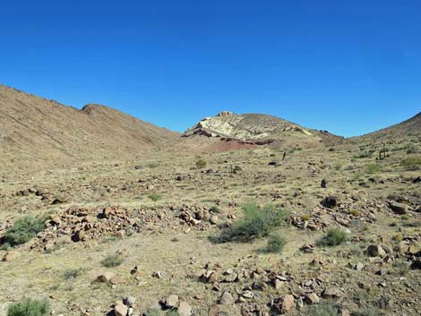
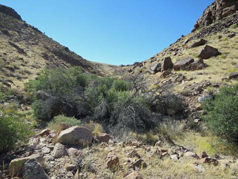
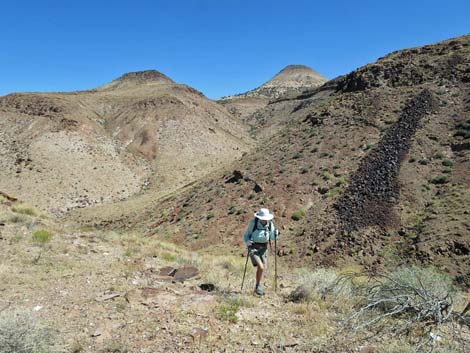
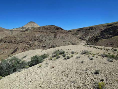
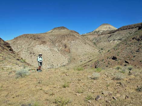
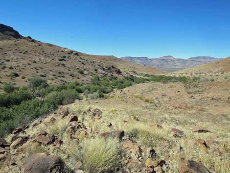
 Departing the trailhead (view NE) |
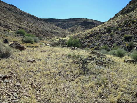
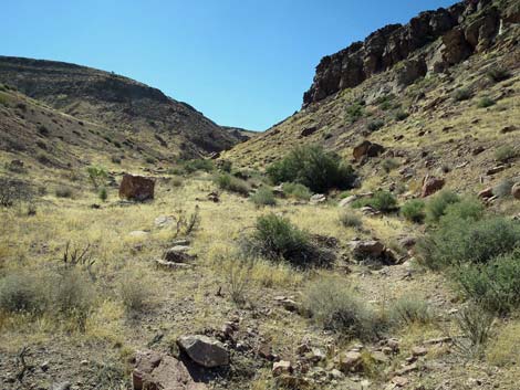
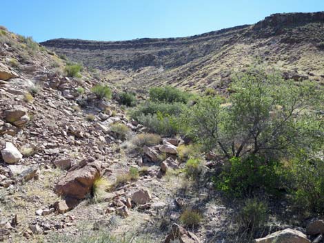
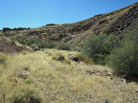
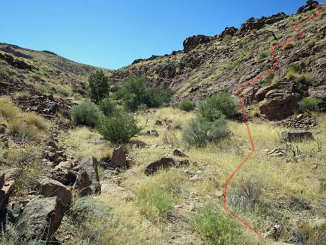
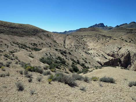
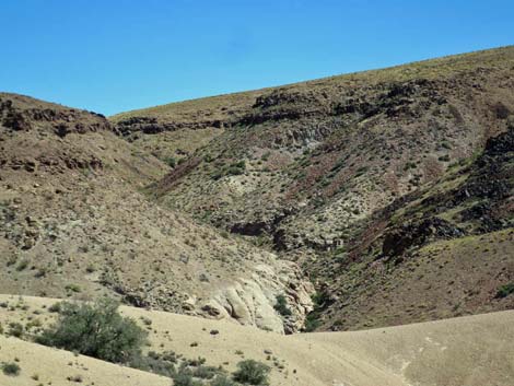
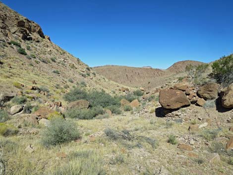
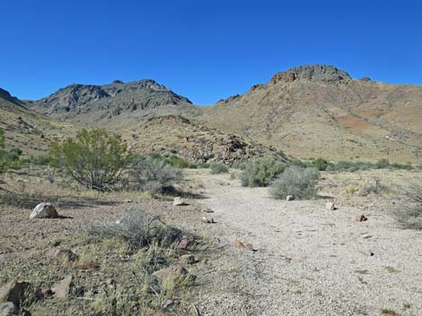
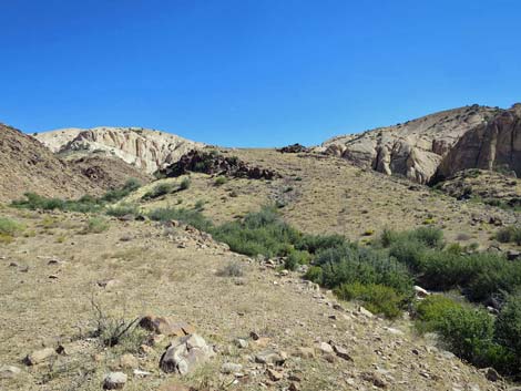
The Hike From the trailhead (Table 1, Waypoint 01), the route follows the major wash northeast along the base of a high ridge on the left. At about 0.28 miles out, the wash widens and begins to fork (Wpt. 02). Here the route stays right, and by about 0.38 miles out (Wpt. 03), the route is heading southeast following the right fork of the wash. In this burned area, it is easier to walk across the open desert south of the wash than it is to walk in the wash. The route soon runs up into a canyon where steeper slopes on the right encourage hikers back into the wash bottom. After passing cliffs, the wash forks (Wpt. 04) again. Note: for hikers heading to Sunflower Peak, the wash to the left is not a particularly good way to go. Staying right at the fork, now heading south, the wash passes the cliffs and the hillside on the right becomes only "quite steep," but at least it is not high. |
 |
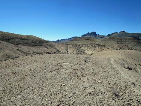
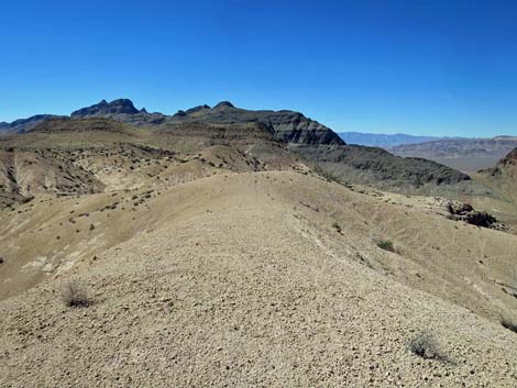
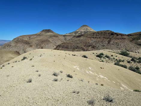
Leaving the wash (Wpt. 05) to the right, the route climbs steeply up and across the hillside to the top of the ridge (Wpt. 06). Now on more gentle terrain, the route follows the top of the ridge south until encountering the east toe (Wpt. 07) of the white ash that forms the White Hills. Turning southwest, the route follows game-trails up the steep hillside until leveling out on the upper slopes. Continuing southwest, the route gradually climbs onto the summit (Wpt. 08) of the White Hills. Continuing a little farther (Wpt. 09), hikers arrive at a nice overlook with grand views all around. Returning to the trailhead, hikers probably can find several ways down, but the gravel-covered white rocks are not conducive to safe travel, so following your footprints back down is the path of least resistance. |
 Passing a Wilderness Boundary sign (view NE) |
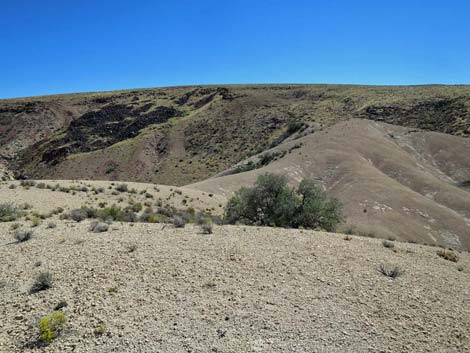
 Continuing up the wash (view NE) |
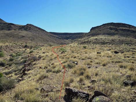
 The wash begins to fork (view NE) |
 Interesting ash deposits (view E from route) |
 Interesting ash deposits (zoom; view E) |
 The route follows along the edge of the wash (view SE) |
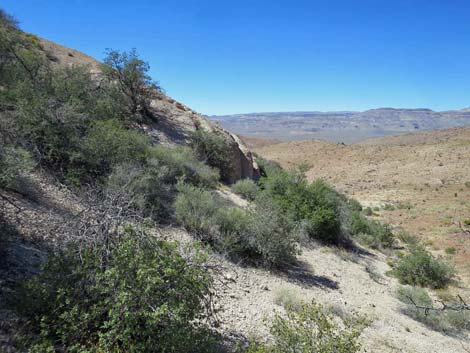
 Scenic limestone cliffs (view S from route) |
 Scenic ash cliffs (view N from route) |
 The route eventually returns to the wash (view SE) |
 Continuing up the wash (view SE) |
 The wash fork (view E -- wrong way) |
 The wash fork (view S) |
 Cliffs above the fork in the wash (view up) |
 The route continues up the right fork (view S) |
 The route exits the wash up steep hillside (view S) |
 Hiker atop the steep hillside (looking back; view N) |
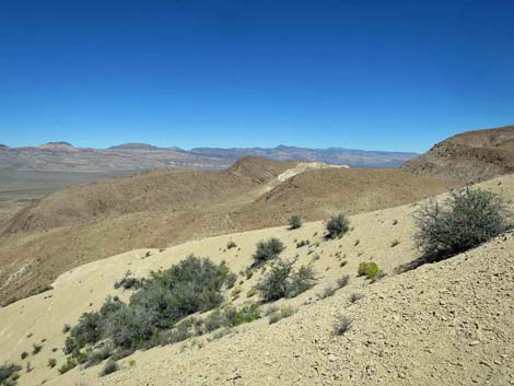
 Atop the ridge, the route continues uphill (view SW) |
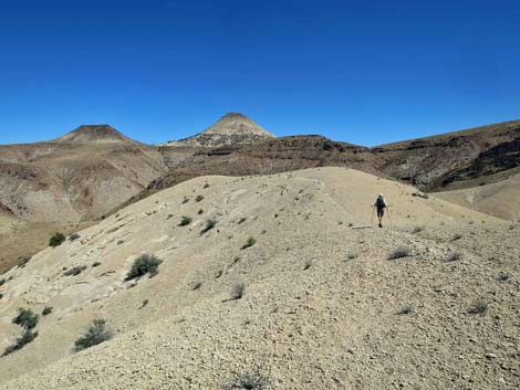
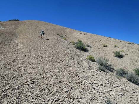 Hiker starting up the toe of the white hills (view SW) |
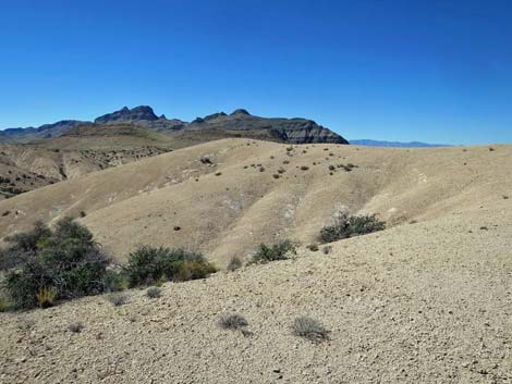 Atop the White Hills (view SW) |
 Atop the White Hills (view NW) |
 White Hills summit (view SW) |
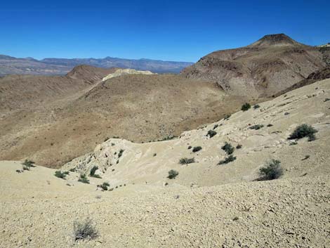
 Beyond the summit, heading towards the overlook (view SW) |
 Overlook (view SSW) |
 Overlook (view SW) |
 Overlook (view NW into Kane Springs Valley) |
 Overlook (view N) |
 Overlook (view NNE) |
 More to come ... |
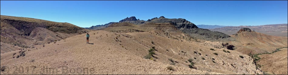
Summit Panoramas
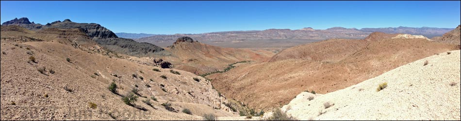
Summit area (view NW into Kane Springs Valley)
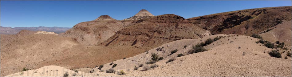
Summit area (view NE towards Sunflower Mountain)
Returning to the Trailhead
 Hiker departing overlook and nearing summit (view NE) |
 Crossing the summit (view NE) |
 Traversing the summit ridge (view NE) |
 Starting to descend from summit ridge (view NE) |
 Descending from summit ridge (view NE) |
 Trying to find a shortcut (view NW) |
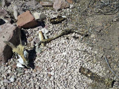 Shortcut didn't work out so well for this Desert Bighorn |
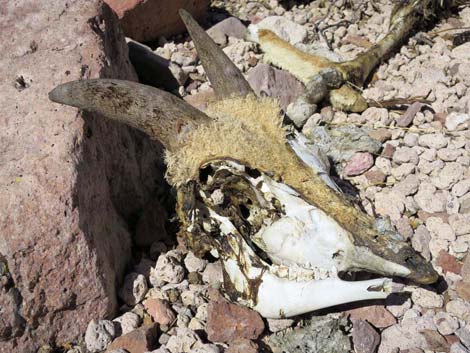 Shortcut didn't work out so well for this Desert Bighorn |
 Returning down ridge above steep hillside (view NE) |
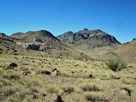
 Sunflower Mountain in the distance (view NE) |
 Hiker ready to descend steep hillside (view NE) |
 Bottom of the wash heading out (view N) |
Scenery
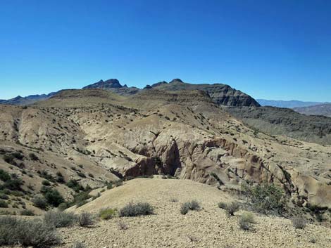
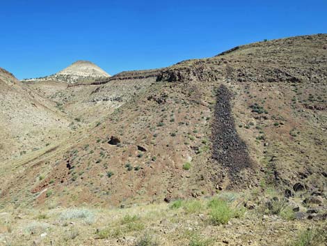
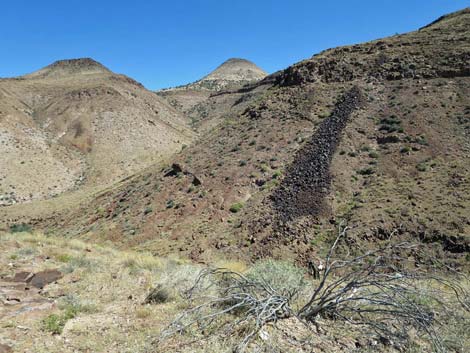
 White Hills (view SE) |
 White Hills (view SE) |
 White Hills (view SE) |
 White Hills (view SE) |
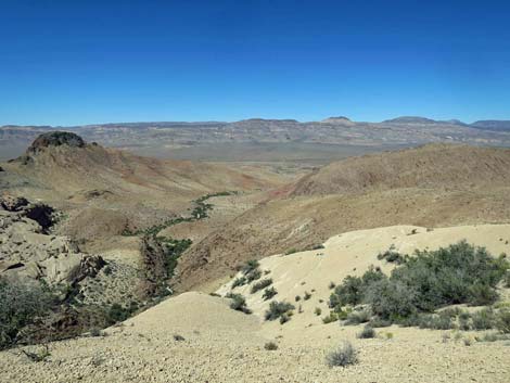
 Wash below White Hills (view S) |
 Wash below White Hills (view SW) |
 Wash below White Hills (view NW) |
More to come ... |
Table 1. Hiking Coordinates and Distances based on GPS Data (NAD27; UTM Zone 11S). Download Hiking GPS Waypoints (gpx) file.
| Wpt. | Location | UTM Easting | UTM Northing | Elevation (ft) | Point-to-Point Distance (mi) | Cumulative Distance (mi) |
|---|---|---|---|---|---|---|
| 01 | Trailhead | 698860 | 4104550 | 3,462 | 0.00 | 0.00 |
| 02 | Stay Right Along Wash | 699130 | 4104867 | 3,539 | 0.28 | 0.28 |
| 03 | Stay Right Out of Wash | 699275 | 4104911 | 3,572 | 0.10 | 0.38 |
| 04 | Wash Forks | 699809 | 4104567 | 3,793 | 0.44 | 0.82 |
| 05 | Start Climbing Out of Wash | 699786 | 4104436 | 3,842 | 0.10 | 0.92 |
| 06 | Ridgeline | 699738 | 4104395 | 3,916 | 0.05 | 0.97 |
| 07 | Toe of White Hills | 699794 | 4104147 | 3,965 | 0.17 | 1.14 |
| 08 | Summit of White Hills | 699598 | 4104024 | 4,072 | 0.17 | 1.31 |
| 09 | Overlook | 699530 | 4103985 | 4,049 | 0.05 | 1.36 |
| 01 | Trailhead | 698860 | 4104550 | 3,462 | 1.36 | 2.72 |
Happy Hiking! All distances, elevations, and other facts are approximate.
![]() ; Last updated 240330
; Last updated 240330
| Wilderness Area Hikes | Hiking Around Las Vegas | Glossary | Copyright, Conditions, Disclaimer | Home |