Hiking Around Las Vegas, Sloan Canyon NCA
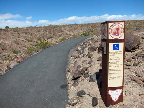
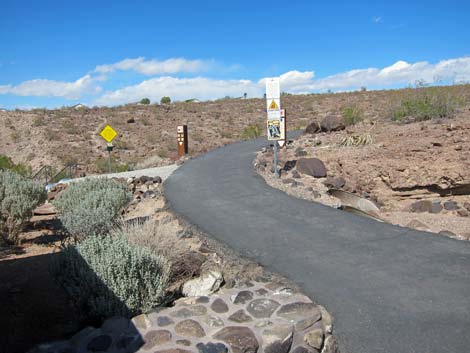 Start of the Anthem East Trail |
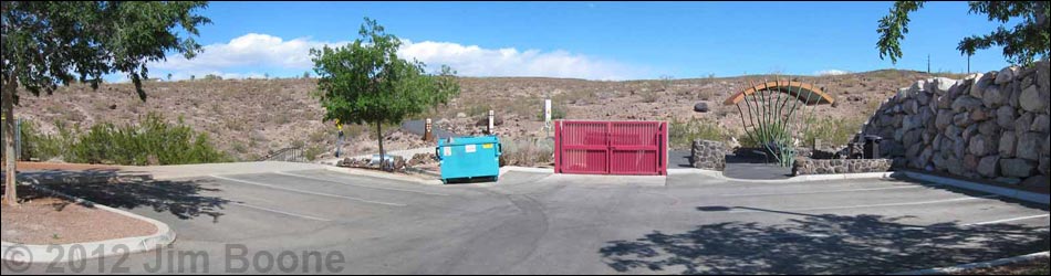
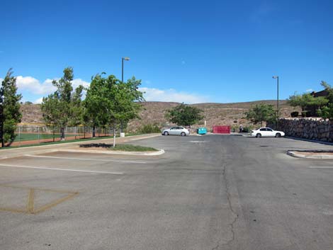
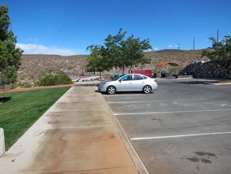
Anthem Hills Trailhead (Table 1, Site 1208) is located on the north edge of Sloan Canyon National Conservation Area (NCA). To get to the Anthem area from Las Vegas, drive south on I-15 or Highway 95 to the Southern Beltway (I-215). On I-215, exit at Eastern Ave and drive south. At a fork in the road, stay left on Anthem Parkway. Continue south to Reunion Drive. Turn left onto Reunion Drive and drive east for 0.5 miles to McCullough Hills Parkway, the turn for which is right in front of Del Webb Middle School. Drive north on McCullough Hills Parkway for about 100 yards, then turn left into Anthem Hills Park. Take the first right (about 50 yards) and drive east (0.20 miles), past Power Company buildings, to the end of the road (Table 1, Site 1208). Park here; this is the trailhead. This trailhead provides access to the Anthem East Trail, including an ADA compliant section that is about 0.6 miles long, and to the McCullough Hills Trail. The McCullough Hills Trail also is accessible from an alternate trailhead off McCullough Hills Parkway (just around the corner from the regular trailhead), but it appears the school would prefer that hikers use the regular trailhead. Link to Trailhead Map. |
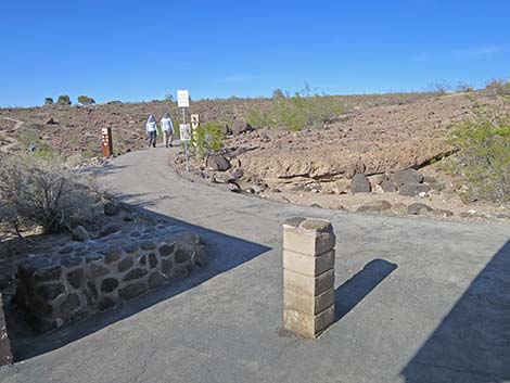
 Arriving at the trailhead (view east) |
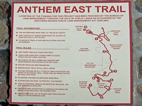 Anthem East Trail Map at trailhead |
 |
 |
 |
 |
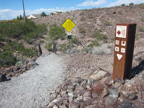
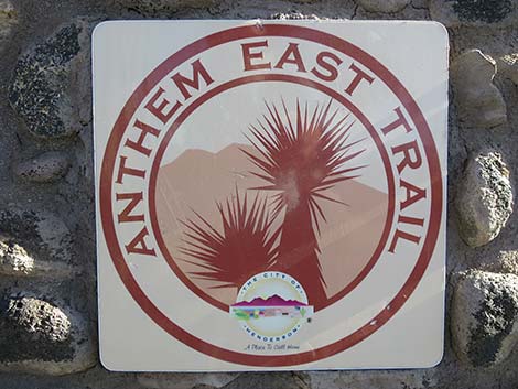 Anthem East Trail sign |
 Start of the Anthem East Trail and McCullough Hills Trail |
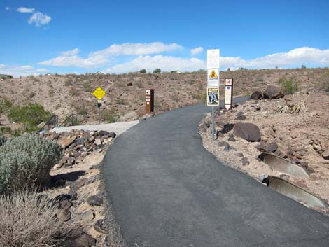 Anthem East Trail and McCullough Hills Trail |
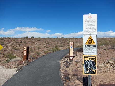 Trail signs |
 Poppy Trail forks left (view NE) |
 Anthem East and McCullough Hills trails stay right on the pavement |
Alternate Trailhead for McCullough Hills Trail
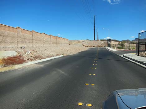 Trails can also be access from the end of McCullough Hill Parkway |
 Parking at the end of McCullough Hill Parkway |
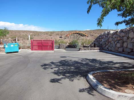
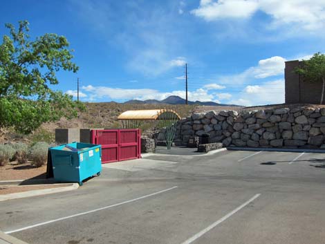
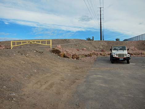
 Gate blocks vehicles from powerline road (view E) |
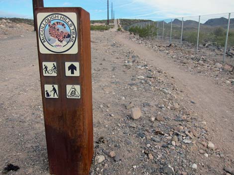 First sign for McCullough Hills Trail (view E) |
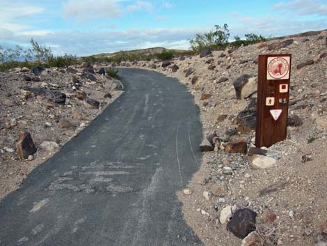 Paved ADA trail meets McCullough Hills Trail (view N) |
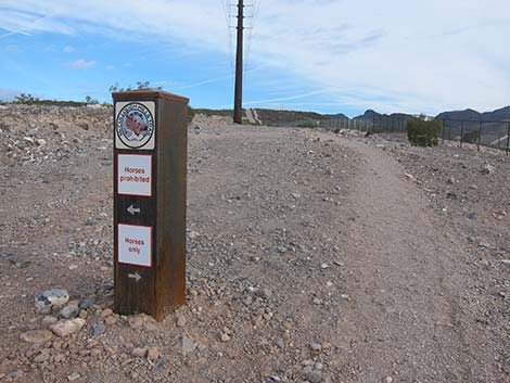 Sign: horses on road; hikers on trail |
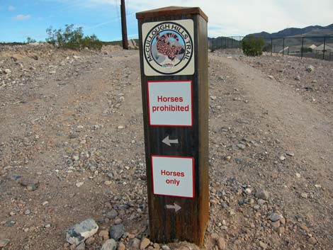 Sign: horses on road; hikers on trail |
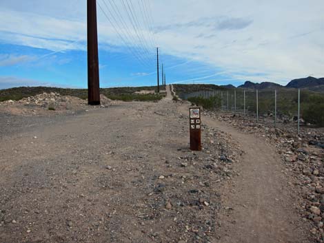 McCullough Hills Trail: horses on road; hikers on trail |
Table 1. Highway Coordinates based on GPS data (NAD27; UTM Zone 11S). Download Highway GPS Waypoints (*.gpx) file.
| Site # | Location | UTM Easting | UTM Northing | Latitude (N) | Longitude (W) | Elevation (ft) | Verified |
|---|---|---|---|---|---|---|---|
| 1208 | Anthem Hills Trailhead | 672842 | 3983553 | 35.98292 | 115.08283 | 2,592 | GPS |
Happy Hiking! All distances, elevations, and other facts are approximate.
![]() ; Last updated 240330
; Last updated 240330
| Sloan Canyon NCA | Hiking Around Las Vegas | Glossary | Copyright, Conditions, Disclaimer | Home |