Turtlehead Peak - Summit Views
Hiking Around Las Vegas, Red Rock Canyon National Conservation Area
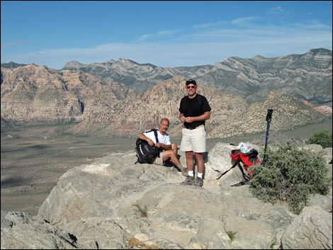 |
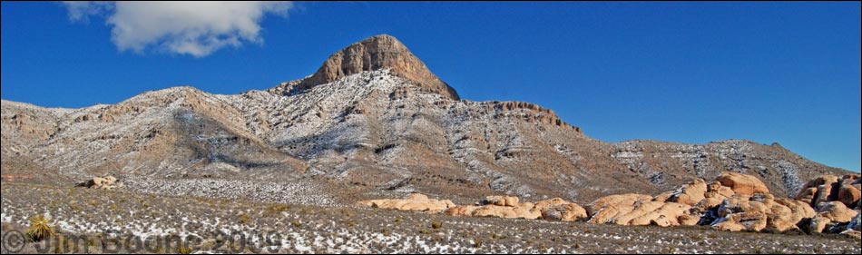
Overview Turtlehead Peak is fairly difficult hike with some short, Class-3 sections. The trail climbs about 2,000 feet in 2.5 miles, which is steep enough, but the hard part is climbing the 800 vertical-feet in the gully system that leads to the summit ridge in only 0.4 miles. There is a constructed "trail" all the way to the top, but it is difficult, loose, and hard to follow higher up. Presented here are photos of views from the summit. For details of the ascent, including maps and GPS coordinates, see Turtlehead Mountain Route. Depending on atmospheric conditions, views from the summit can be stunning. To the ENE, hikers can see into Utah. To the E, views stretch to the Grand Wash Cliffs at the edge of the Colorado Plateau in Arizona. |
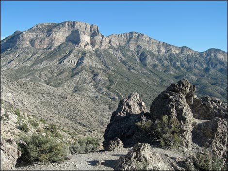
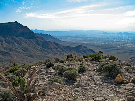 La Madre Mountain Range and Las Vegas (view E) |
 Gateway Canyon and Calico Basin |
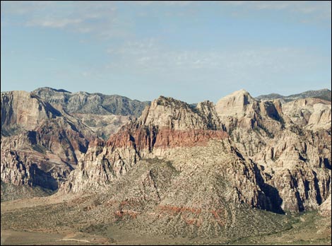
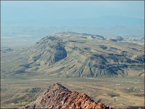 Blue Diamond Hill and the crest of the Calico Hills |
 Sandstone Quarry (near), Mt Wilson, and Mt. Potosi (far) |
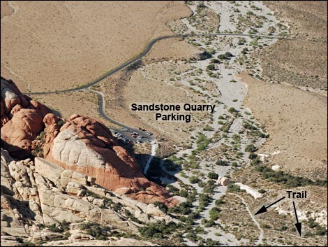 Summit (view down and south to Sandstone Quarry) |
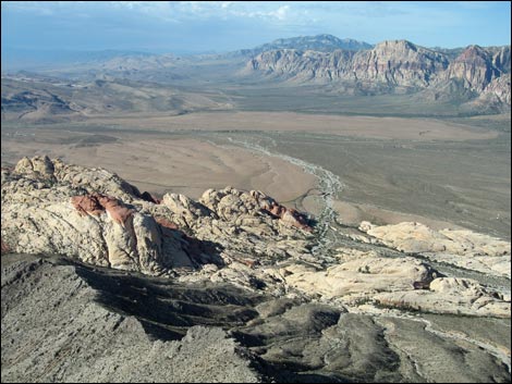
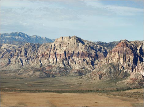 Red Rock Cliffs (view SW) |
 Red Rock Cliffs (view SW) |
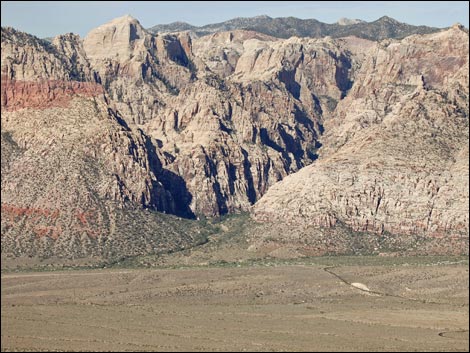 Ice Box Canyon |
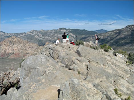 Summit (view NW with Griffith Peak in the background) |
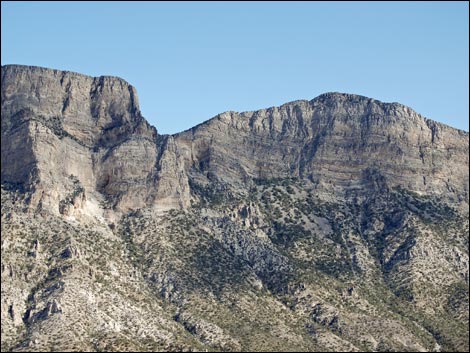 La Madre Mountain (view N) |
 La Madre Mountain (view N from ridge near summit) |
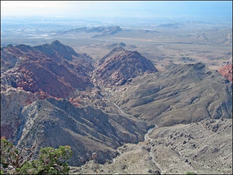
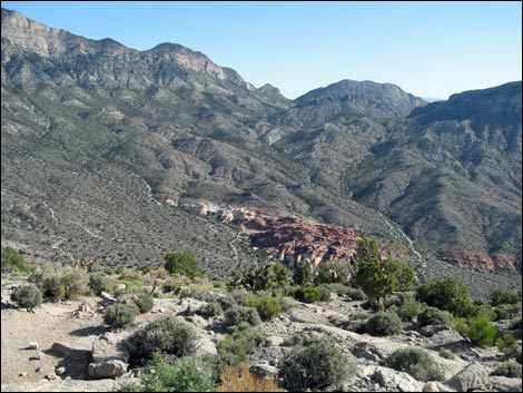 Brownstone Canyon (view NE) |
Happy Hiking! All distances, elevations, and other facts are approximate.
![]() ; Last updated 220604
; Last updated 220604
| Turtlehead Route | Hiking Around Red Rocks | Hiking Around Las Vegas | Glossary | Copyright, Conditions, Disclaimer | Home |