Hiking Around Las Vegas, Red Rock Canyon National Conservation Area
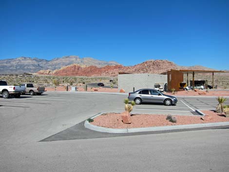 |
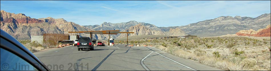
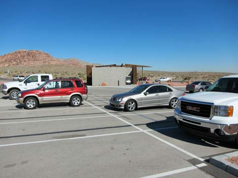
The Entrance Station Trailhead is located in Red Rock Canyon National Conservation Area, just past the fee booth inside the Scenic Loop Road area. The trailhead is about 30 minutes west of Las Vegas. From town, drive out to Red Rock Canyon NCA. From West Charleston Blvd at the Scenic Loop Road (Table 1, Site 519), turn right and drive north for 0.2 miles to the entrance station (Site 855). Pay the fee, then drive forward and turn left onto the exit road. Drive about 80 yards, turn left into the parking lot behind the fee booths (Site 895). Park here; this is the trailhead. Link to trailhead map. |
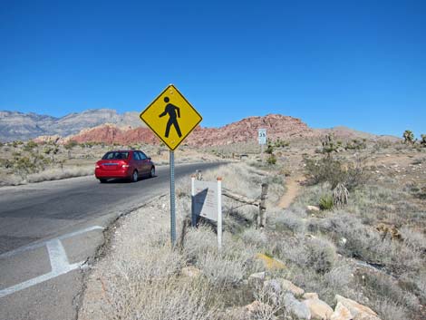 |
The Entrance Station Trailhead provides access to hikes in the Visitor Center and Calico Hills areas, including access to several miles of easy to moderate hiking. Trails: Visitor Center Area Loop Trails, Calico Hills Trail, Entrance Station to Red Spring Trail, Grand Circle Trail, Moenkopi Hill Trail. |
 |
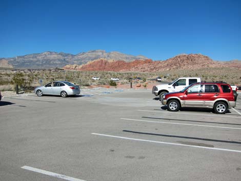 |
Table 1. Highway Coordinates (NAD27; UTM Zone 11S). Download Highway GPS Waypoints (*.gpx) file.
| Site # | Location | Latitude (N) | Longitude (W) | UTM Easting | UTM Northing | Elevation (feet) | Verified |
|---|---|---|---|---|---|---|---|
| 0519 | Charleston at Scenic Loop Entrance | 36.13161 | 115.42048 | 642131 | 3999501 | 3,681 | Yes |
| 0895 | Entrance Station parking | 36.13210 | 115.42301 | 641902 | 3999552 | 3,691 | Yes |
Happy Hiking! All distances, elevations, and other facts are approximate.
![]() ; Last updated 240330
; Last updated 240330
| Hiking Around Red Rocks | Hiking Around Las Vegas | Glossary | Copyright, Conditions, Disclaimer | Home |