Hiking Around Las Vegas, Red Rock Canyon National Conservation Area
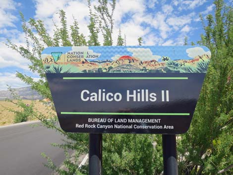 Calico Hills 2 parking area sign |
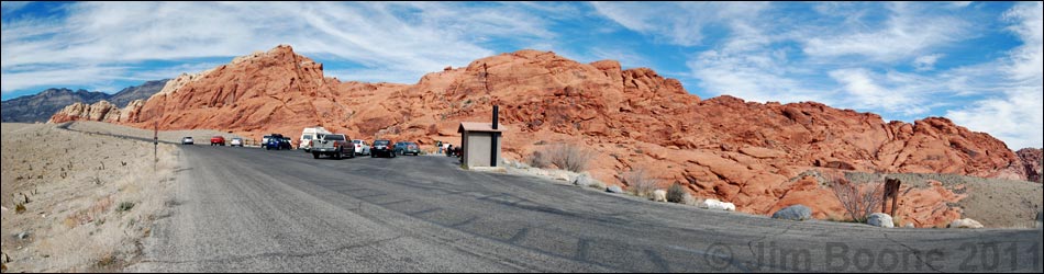
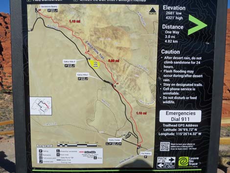
Calico Hills 2 Trailhead is located along the Scenic Loop Road in Red Rock Canyon National Conservation Area, about 30 minutes west of Las Vegas. From town, drive out to Red Rocks. From West Charleston Blvd at the Scenic Loop Road (Table 1, Site 519), turn right and drive north for 0.2 miles to the entrance station (Site 855). Pay the fee, then drive forward and turn right onto the Scenic Loop Road. Pass the turnoff to the Visitor Center and drive north for 1.6 miles to the second paved parking area, which is on the right (Site 0524). Park here; this is the trailhead. The Calico Hills 2 Trailhead provides access to hikes in the Calico Hills area, including access to the sandstone cliffs and several miles of relatively flat walking. Trails: Calico Hills, Grand Circle Trail. Link to trailhead map. |
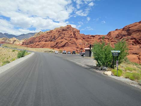 Scenic Loop Road approaching Calico Hills 2 trailhead (view N) |
 Entering Calico Hills 2 parking area |
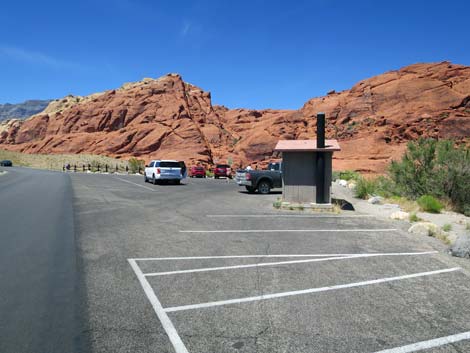
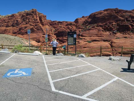
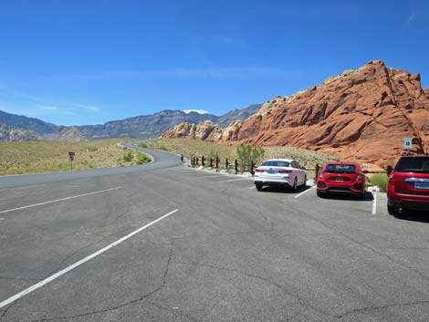
 Calico Hills 2 parking area |
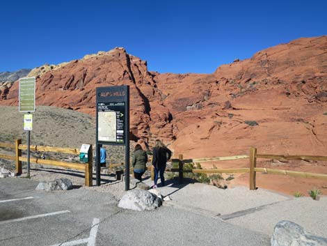
 Calico Hills 2 trailhead area |
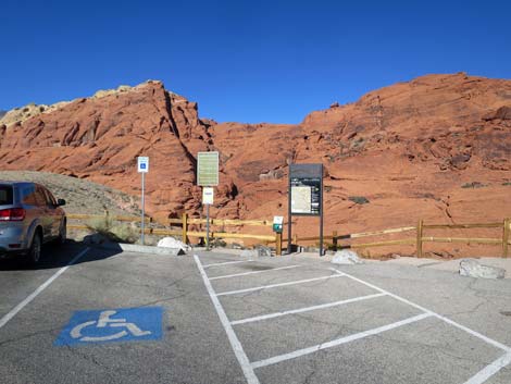 Calico Hills 2 trailhead area |
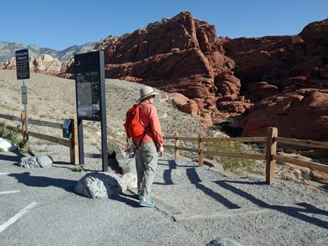
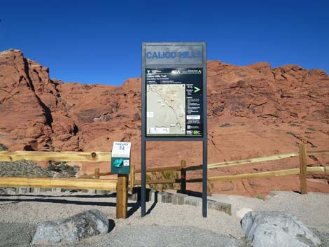 Calico Hills 2 Trailhead sign (view E) |
 Calico Hills 2 Trailhead sign (view E) |
 Calico Hills 2 Trail (view N) |
 Start of Calico Hills 2 Trail (view N) |
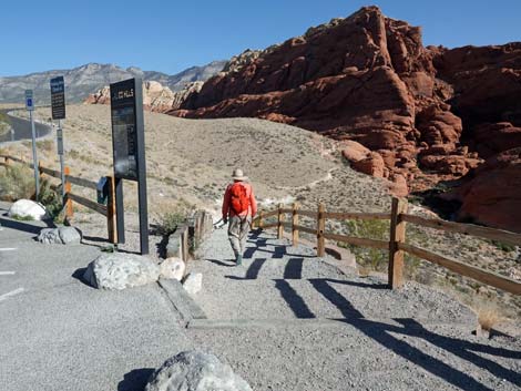 Hiker starting down the Calico Hills 2 Trail (view N) |
 Returning to the Calico Hills 2 Trailhead (view south) |
 Exiting from Calico Hills 2 trailhead parking (view NW) |
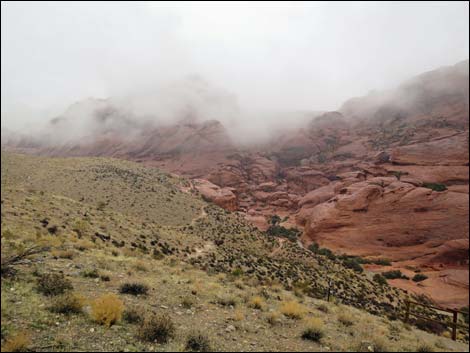 Stormy day at Calico Hills 2 |
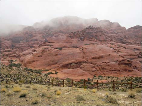 Stormy day at Calico Hills 2 |
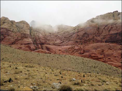 Stormy day at Calico Hills 2 |
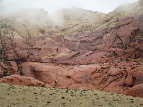 Stormy day at Calico Hills 2 |
Table 1. Highway Coordinates (NAD27; UTM Zone 11S). Download Highway GPS Waypoints (*.gpx) file.
| Site # | Location | Latitude (N) | Longitude (W) | UTM Easting | UTM Northing | Elevation (feet) | Verified |
|---|---|---|---|---|---|---|---|
| 0519 | Charleston at Scenic Loop Entrance | 36.13161 | 115.42048 | 642131 | 3999501 | 3,681 | Yes |
| 0524 | Calico II Parking | 36.15180 | 115.43653 | 640650 | 4001717 | 4,097 | Yes |
| 0855 | Scenic Loop Entrance Station | 36.13252 | 115.42282 | 641918 | 3999598 | 3,682 | Yes |
Happy Hiking! All distances, elevations, and other facts are approximate.
![]() ; Last updated 240330
; Last updated 240330
| Hiking Around Red Rocks | Hiking Around Las Vegas | Glossary | Copyright, Conditions, Disclaimer | Home |