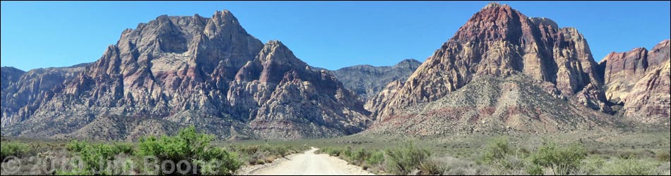
Backroads Around Las Vegas, Red Rock Canyon National Conservation Area
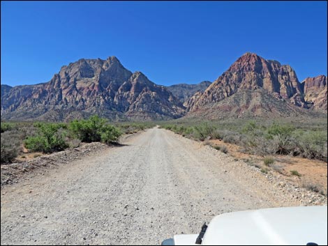
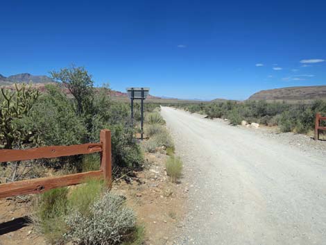
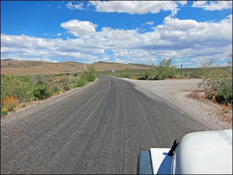 Scenic Loop Road at Oak Creek Road (view SE) |
Overview Oak Creek Road is a dirt spur-road in Red Rock Canyon National Conservation Area that connects the Scenic Loop Road with the Oak Creek Trailhead near the base of the Red Rock Cliffs. The road is about 0.7 miles long and fairly smooth, suitable for a carefully driven sedan. Oak Creek Road provides access to the Rainbow Mountain Wilderness Area, numerous hikes including Oak Creek Canyon, Arnight Trail, Knoll Trail, Escarpment Trail, and Rainbow Mountain Loop, plus lots of grand scenery. Link to Road Map. |
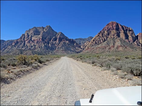
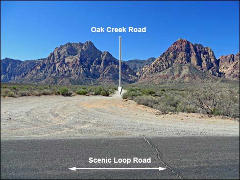 Oak Creek Road (view SW from Scenic Loop Road) |
Watch Out Other than the standard warnings about driving in the desert, ...this is a safe drive, but sometimes the wash-boards are pretty bad. While out, please respect the land and the other people out there, and try to Leave No Trace of your passage. Also, even though this road is short, be sure to bring what you need of the 10 Hiking Essentials. Getting to Oak Creek Road From Las Vegas, drive out West Charleston Blvd to Red Rock Canyon National Conservation Area. Pay the fee and drive 12.1 miles around the Scenic Loop Road to Oak Creek Road, on the right. |
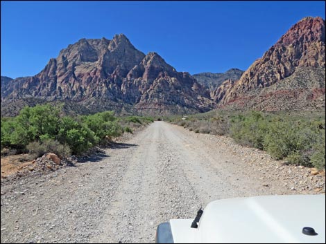
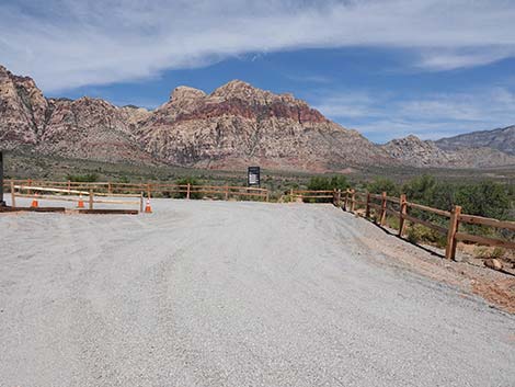
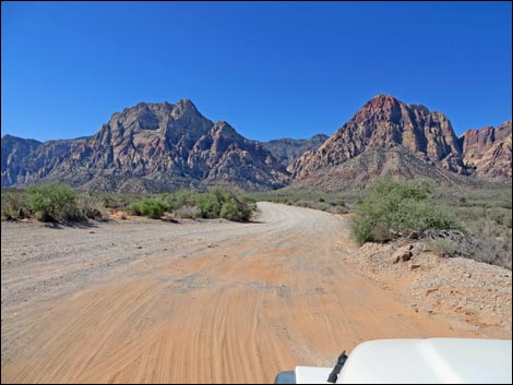 Start of Oak Creek Road (view SW) |
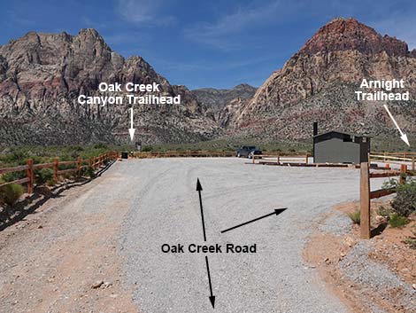
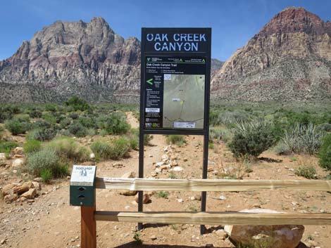
The Road From the Scenic Loop Road (Table 1, Site 0530), Oak Creek Road turns right onto the dirt. Oak Creek Road is fairly smooth, but careful driving avoids the worst of the rocks. The road runs southwest with grand views of the Red Rock Cliff in the background. Vegetation in this area is typical of higher-elevation Mojave Desert Scrub. Here, the dominant shrub species is Blackbrush, with nice sprinklings of Mojave Yucca, Buckhorn Cholla, and few other shrubs. Oak Creek Road runs southwest for 0.7 miles to Oak Creek Trailhead (Site 0531), which serves several hiking trails. From the trailhead, the Rainbow Loop makes for a nice, 3.2-mile hike that goes out under the Red Rock Cliffs, and the Oak Creek Canyon Trail leads up into Oak Creek Canyon, the deep canyon ahead in the cliffs. The Arnight Trailhead serves the Arnight Trail. |
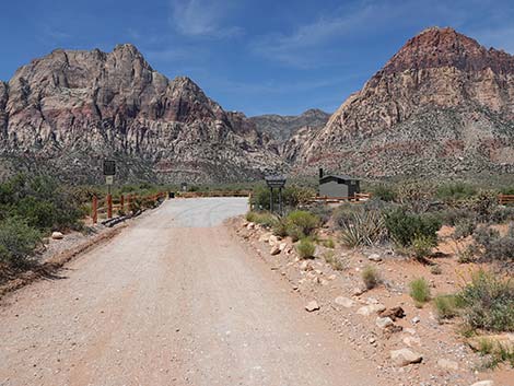
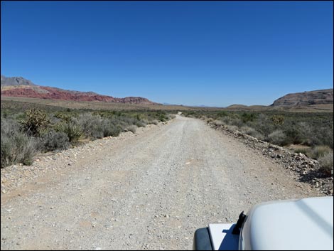
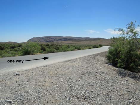
 Oak Creek Road runs straight of 0.7 miles (view SW) |
 Oak Creek Road (view SW) |
 Oak Creek Road (view SW) |
 Approaching the end of Oak Creek Road (view SW) |
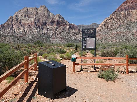
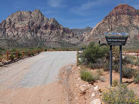 Oak Creek Road at Oak Creek Canyon Trailhead sign (view SW) |
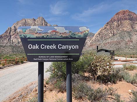 Oak Creek Canyon Trailhead sign (view SW) |
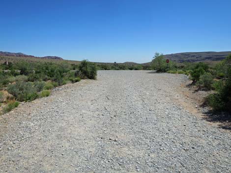
 Oak Creek Road forks to form a big turn-around loop (view SW) |
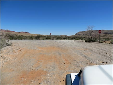
 Looking right towards Arnight Trail parking (view NW) |
 Passing Arnight Trail parking and loop exit (view NW) |
 Continuing straight towards Oak Creek Trailhead parking (view SW) |
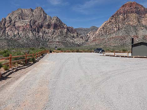
 Staying left into the parking lot towards the Oak Creek Trailhead |
 Parking on the right by the vault toilet (view NW) |
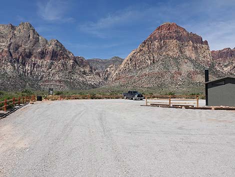
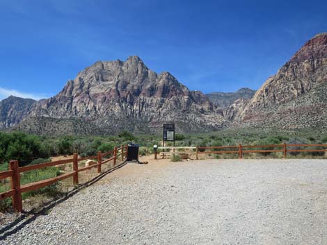 Oak Creek Road approaching Oak Creek Trailhead (view SW) |
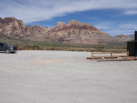
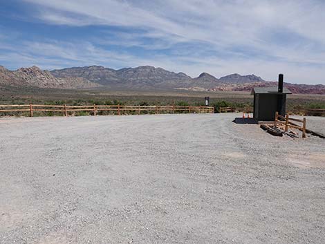
 Oak Creek Trailhead (view SW) |
 Oak Creek Trailhead (view SW) |
 Oak Creek Road continuing through turn-around loop (view N) |
 Oak Creek Road continuing through turn-around loop (view NE) |
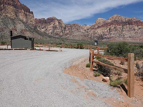
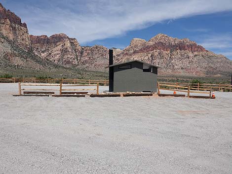
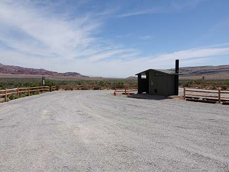 Oak Creek Road approaching the vault toilet (view W) |
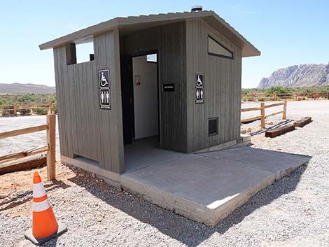 Oak Creek vault toilet (view S) |
 Oak Creek Road approaching the Arnight Trail parking (view E) |
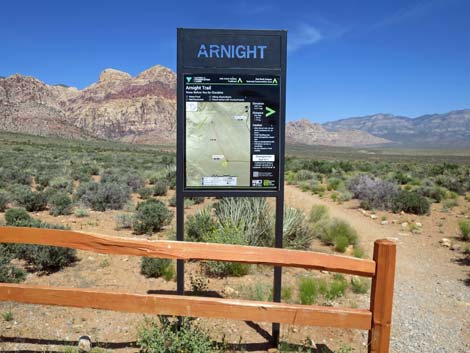 Arnight Trailhead sign (view E) |
 Oak Creek Road continues through the turn-around loop (view SE) |
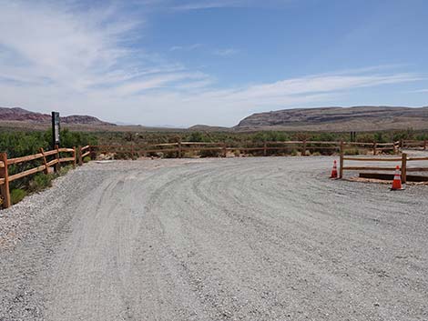
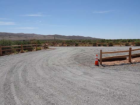
 Oak Creek Road turn-around loop approaching exit (view NW) |
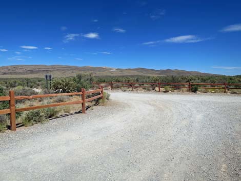
 Exiting the turn-around loop onto Oak Creek Road (view SE) |
Returning Down Oak Creek Road
 |
 |
 |
 |
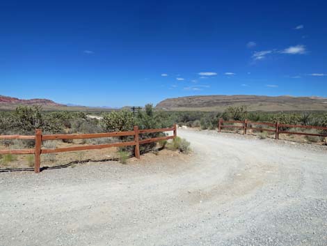
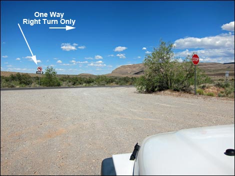 Oak Creek Road approaching one-way Scenic Loop Road (view NE) |
 Oak Creek Road turning onto one-way Scenic Loop Road (view NE) |
Table 1. Highway Coordinates based on GPS data (NAD27; UTM Zone 11S). Download Highway GPS Waypoints (*.gpx) file.
| Site | Location | UTM Easting | UTM Northing | Latitude (N) | Longitude (W) | Elevation (ft) | Verified |
|---|---|---|---|---|---|---|---|
| 0530 | Scenic Loop Rd at Oak Creek Rd | 638987 | 3997820 | 36.11692 | 115.45570 | 3,804 | Yes |
| 0531 | Oak Creek Trailhead | 638116 | 3997128 | 36.11080 | 115.46549 | 3,905 | Yes |
Happy Hiking! All distances, elevations, and other facts are approximate.
![]() ; Last updated 240330
; Last updated 240330
| Backroads | Hiking Around Las Vegas | Glossary | Copyright, Conditions, Disclaimer | Home |