Backroads Around Las Vegas, Red Rock Canyon NCA

 Highway 160 passing end of highway divider (view SW) |
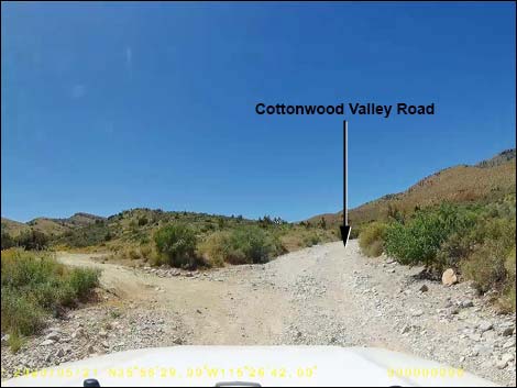
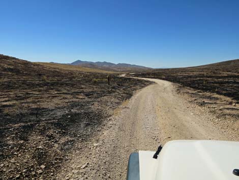
Overview Cottonwood Valley Road, also called Goodsprings Road, runs north-south between Highway 160 (the road to Pahrump) and Highway 161 (the road to Sandy Valley) at Goodsprings. The northern 10.8 miles of Cottonwood Valley Road is an unmaintained dirt road, but the southern 1.6 miles run on pavement. The road provides access to hiking, biking, equestrian, and camping opportunities along the east side of Mt. Potosi and in the Birdspring Range. The northern few miles of road have become quite washed out and rough, and the north side of Cottonwood Pass has degraded to the point where it requires a 4WD vehicle. In 2005, the Goodsprings Fire burned some 33,600 acres in the Cottonwood Valley area. In 2020, the Cottonwood Fire reburned some 2,800 acres, mostly south of Cottonwood Pass. It is sad watching our Mojave Desert change from a perennial shrubland to a seasonal grassland, as drought, invasive species, and climate change march on. Link to map. |
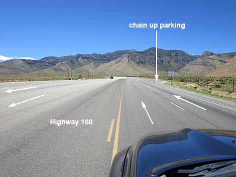
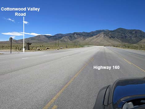
 Highway 160 at Chain Up parking area (view SW) |
Other than the standard warnings about driving in the desert, ...this road is getting to be a pretty rough drive, at least on the north end. Cell phones work in some areas. This is a major mountain biking area, so keep an eye out for inattentive bikers careening across the road (bike trails cross the road many times) or just careening down the road. When turning from Highway 160 westbound onto Cottonwood Valley Road, be extra careful turning left in front of oncoming traffic. The speed limit is only 65 mph, but expect vehicles to be traveling downhill at 70-80 mph. Be patient and leave extra room. While out, please respect the land and the other people out there, and try to Leave No Trace of your passage. Also, be sure to bring what you need of the 10 Essentials. |
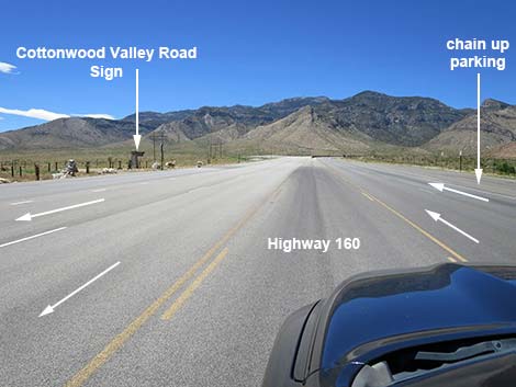
 Highway 160, approaching Cottonwood Valley Road (view SW) |
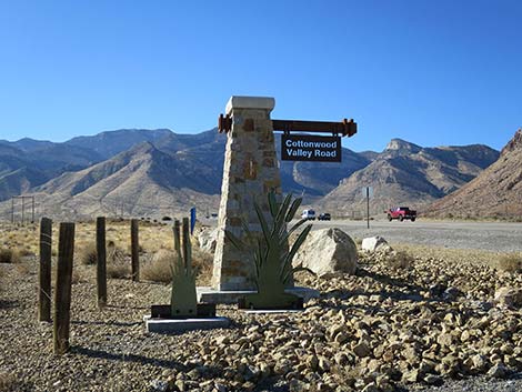
Getting to the Roadhead For the north end of Cottonwood Valley Road, from Las Vegas, drive west on Highway 160 (Pahrump Highway). Past the Late Night Trailhead, the next gap in the highway divider provides left-turn access to Cottonwood Valley Road and the Cottonwood Valley Trailhead. For the south end of Cottonwood Valley Road, from Las Vegas, drive south on Interstate-15 to Jean (Table 1, Site 1370). Exit the interstate and turn right onto Highway 161 (watch for signs to Goodsprings and Sandy Valley). Drive northwest for about 6.7 miles to the Pioneer Saloon (Site 1367) in Goodsprings. Continuing past the Pioneer Saloon, drive west about 0.2 miles to a T-intersection. Turn right onto Esmeralda Street and drive north 3 blocks to another T-intersection. Turn right onto West Pacific Avenue. Drive east two blocks to the end of the pavement, turn left, and drive north on an unpaved road, which is Cottonwood Valley Road. |
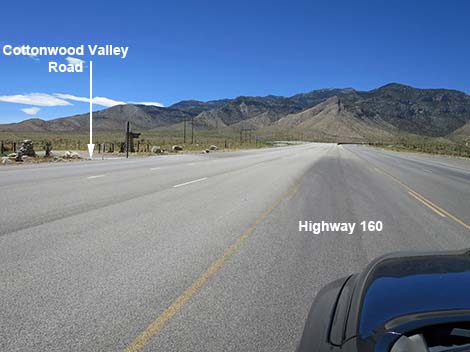
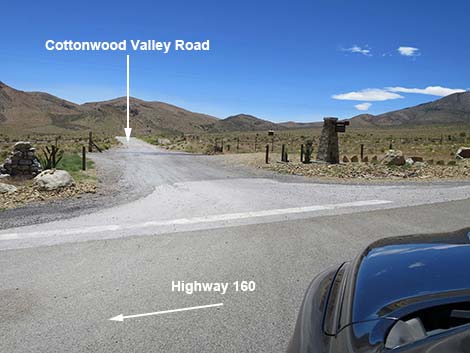
 Highway 160, at Cottonwood Valley Road (view SW) |
Continue northward 0.35 miles to a paved road that joins from the right (Truck Bypass Road). After about 1.3 miles on the pavement, the road forks (Site 1368). The pavement (left) runs out to a gravel pit, while the dirt road to the right is Cottonwood Valley Road. For drivers not interested in visiting Goodsprings, consider bypassing town using the paved Truck Bypass Road. On Highway 161, at about 1.2 miles before Goodsprings, turn right onto the truck route and follow the pavement around the east side of town. After about 1.9 miles, the unpaved road from town joins the Truck Bypass Road at a hard turn to the right. About 1.3 miles past the right turn, the road forks (Site 1368). Turn right onto the dirt road, which is Cottonwood Valley Road. |
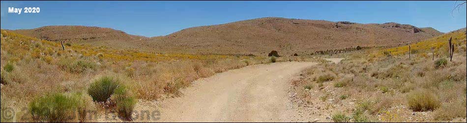
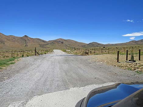
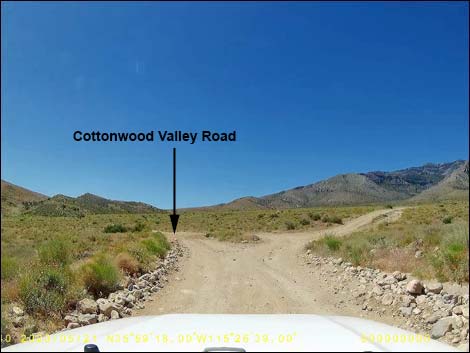
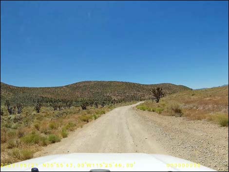
 Cottonwood Valley Road (view S from Highway 160) |
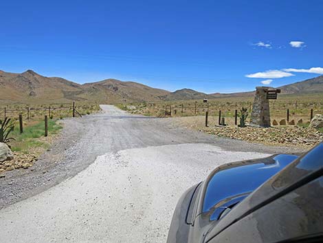
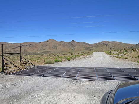
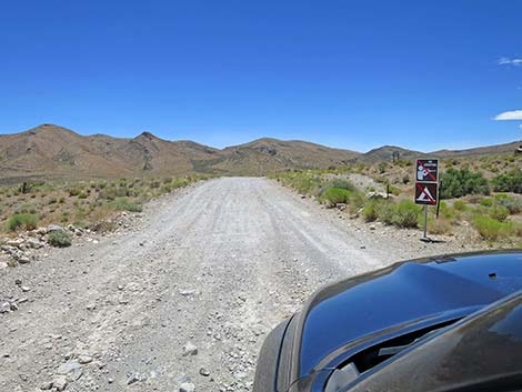
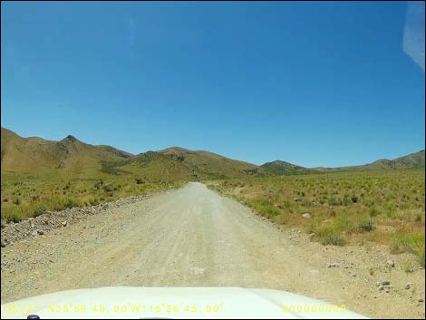
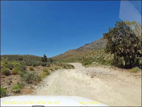
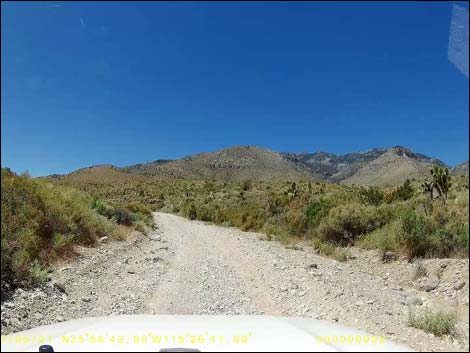
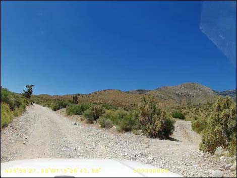
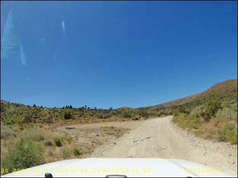
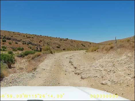
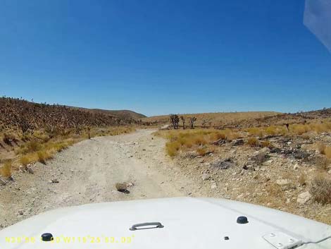
The Road From the pavement at Highway 160, Cottonwood Valley Road crosses a cattle guard, runs out into the dirt, and heads south. Initially, the road is relatively well maintained and two lanes wide. At about 200 yards out, Cottonwood Valley Road passes Cottonwood Valley Trailhead, a popular trailhead for mountain bikers, and at about 0.7 miles out, passes Badger Pass Trailhead (Site 1542), another popular trailhead used by mountain bikers and hikers. By this time, it is apparent that Cottonwood Valley Road is running up a valley, with Mt. Potosi (Spring Mountains) on the west and the Birdspring Range on the east, which is the case all the way south to Goodsprings. |
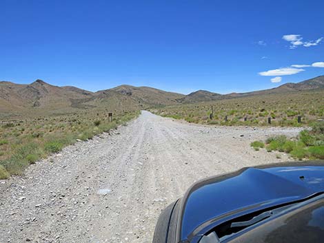
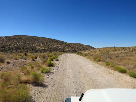
 Cottonwood Valley Road (view S) |
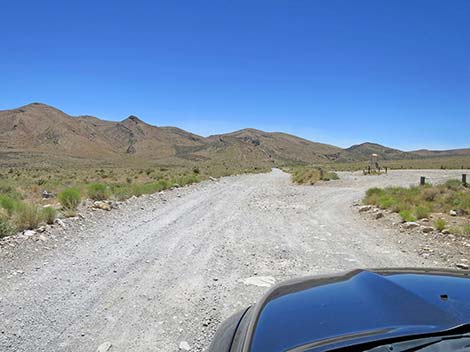
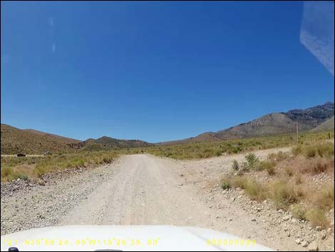
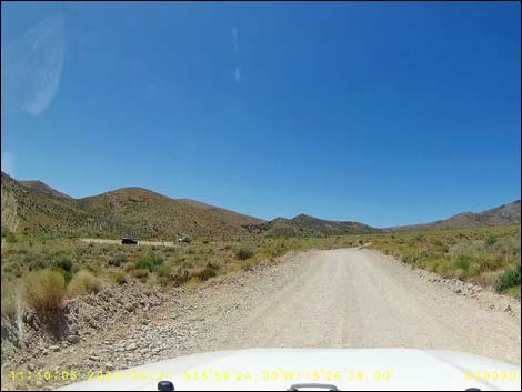
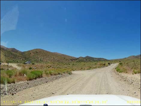
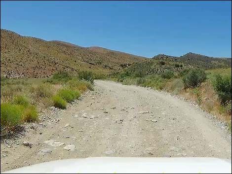
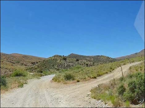
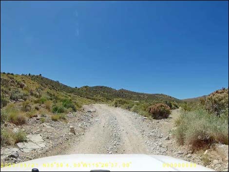
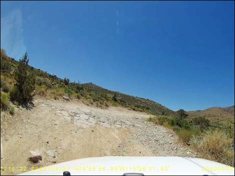
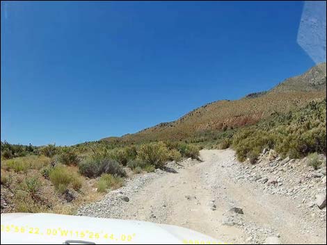
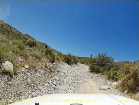
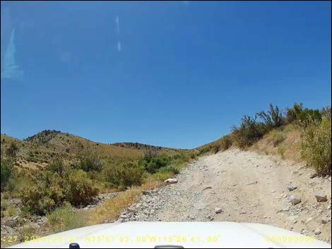
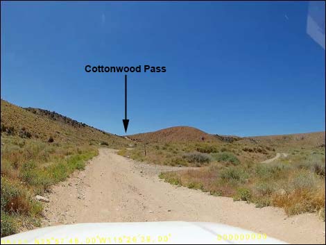
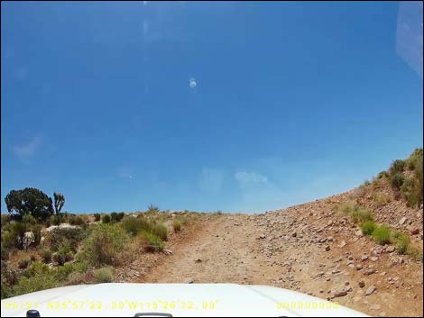
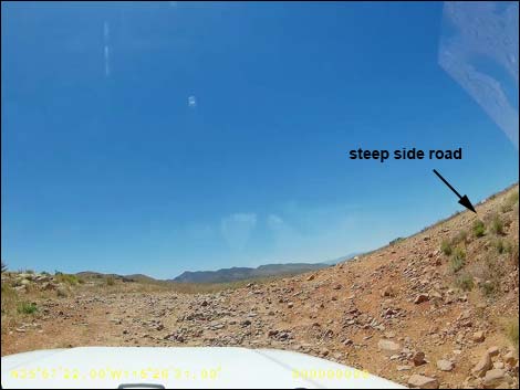
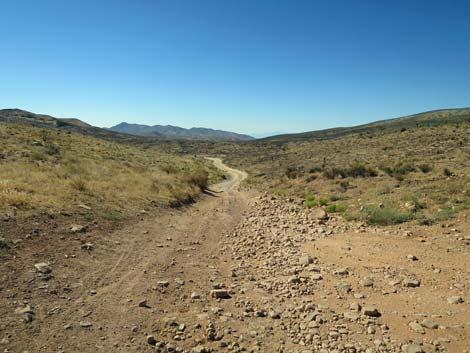
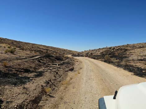
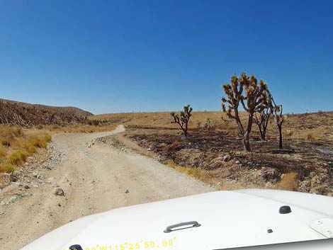
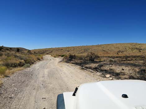
Just past Badger Pass Trailhead, the road narrows and becomes washed out and rocky. The road passes several side roads, but the Cottonwood Valley Road always is the obvious, straight ahead, main-road. At about 1.5 miles out, the road drops into the wash and more-or-less remains in the wash, where some parts are quite rocky, until about 3.0 miles out when the road starts to climb over Cottonwood Pass. Climbing the north side of Cottonwood Pass, the road is steep, rutted, and rocky. I've taken to driving this section in 4WD just to make it easier to control my jeep, but it probably isn't absolutely necessary. Near the top of the pass, the road leaves Red Rock Canyon National Conservation Area and enters the Spring Mountains National Recreation Area. The road eventually climbs onto Cottonwood Pass (Site 0850; 3.2 miles out). |
 Cottonwood Valley Road sign (view W) |
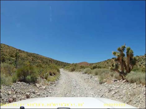
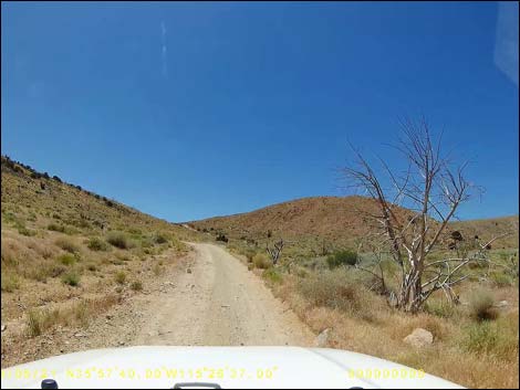
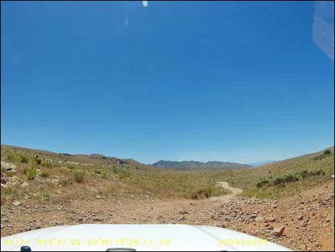
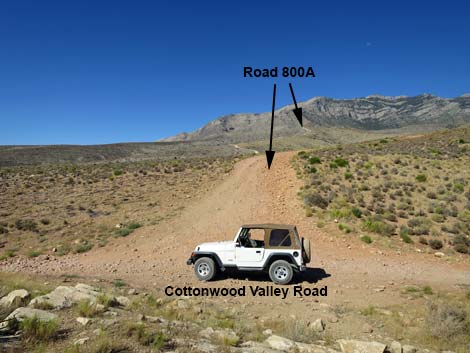
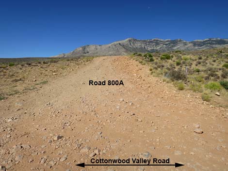
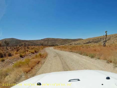
Atop the pass, an old road to the left, now a trail, runs east 100 yards to an overlook. The road to the right (Toiyabe Forest Road [FR] 800A) runs a short distance to a red sandstone outcrop. Beyond that point, FR-800A becomes extremely rough and better suited for ATVs than trucks or jeeps. Beyond Cottonwood Pass (Site 0850), the road south becomes much better as it runs gently down Goodsprings Valley. In places the road recently washed out with deep ruts down the center, but drivers have pounded out parallel road segments. Continuing south on the comparatively smooth and gentle road, the road bends to the east and arrives at parking area on the left; this is the trailhead for Birdspring Peak (Site 0851; 3.5 miles out). The old road here, now a trail, runs 0.7 miles to a nice overlook with views of Las Vegas. |
 Start of Cottonwood Valley Road (view S) |
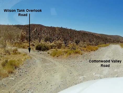
Continuing south, Cottonwood Valley Road runs another 0.3 miles to an intersection to the left. Here, the Wilson Tank Overlook Road (Site 1543) branches and climbs about 0.2 miles to a large parking area (that can be seen from the main road) with grand views over the other side into the Las Vegas Valley. All of the taller buildings are visible. |
 Cottonwood Valley Road at cattle guard (view S) |
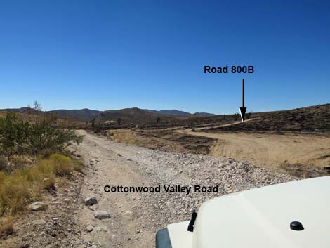
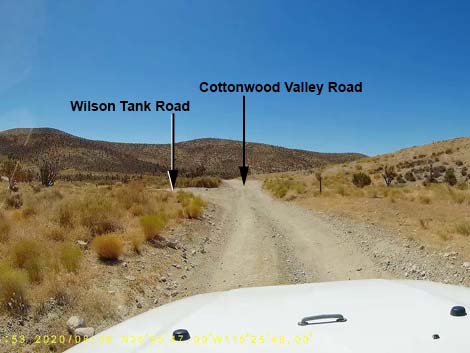
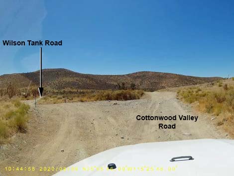
Continuing south another 0.3 miles, Cottonwood Valley Road reaches an intersection (Site 1543) with Wilson Tank Road to the left. This road curves to the east as it climbs over the ridge, then drops through a canyon, passing Wilson Tank (a guzzler) and eventually runs northeast to connect, eventually, with Highway 160. Continuing south another 0.3 miles, Cottonwood Valley Road crosses a gas pipeline, a wide gash in the vegetation that can be seen running across the desert for miles. Shortly, at about 5.6 miles out, the road reaches another side road to the right; this is FR-800C, which runs about 3.2 miles northwest to Ninetynine Mine and the trailheads for the Carol Lombard Crash Site. |
 Signs: No Shooting and No Camping (view S) |
Cottonwood Valley Road continues south for another 5.1 miles (total distance from Hwy 160 of 10.8 miles) to intersect a paved road (Site 1368). The route turns left onto the pavement, which still is Cottonwood Valley Road, and continues south. At a sharp curve to the left, the paved road bypasses the town of Goodsprings. For drivers in a hurry, stay on the pavement, bypass town, and continue southeast to Interstate 15. For others, consider driving into the historic town by staying straight on the dirt road. The dirt road bends right, then turns right onto Pacific Ave. Turn left at the second road (Esmeralda St.) through town. Esmeralda runs south to intersect the paved Goodsprings Road. Turn left, stop at the Goodsprings Saloon for a cool beverage, then let the designated driver continue southeast to Interstate 15 and home. |
 Approaching Cottonwood Valley Trailhead (view S) |
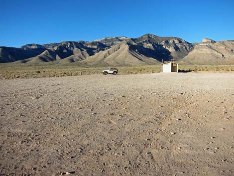 Cottonwood Valley Trailhead and "creepy outhouse" (view W) |
 Continuing past Cottonwood Valley Trailhead (view S) |
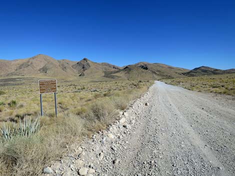 Cottonwood Valley Road approaching information sign (view S) |
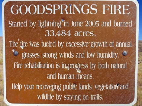 Goodsprings Fire information sign (view SE) |
 Continuing past Cottonwood Valley Trailhead (view S) |
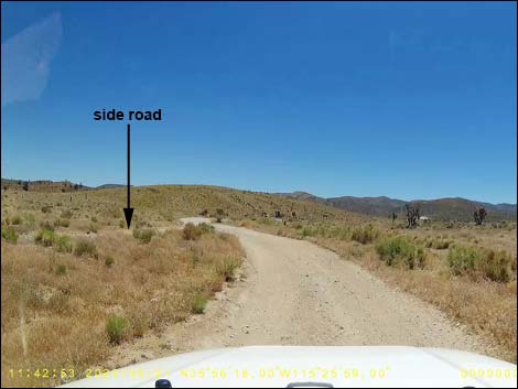
 Cottonwood Valley Road at minor side road (view S) |
 Cottonwood Valley Road approaching another trailhead (view S) |
 Cottonwood Valley Road at trailhead turnoff (view S) |
 Cottonwood Valley Road at another side road (view S) |
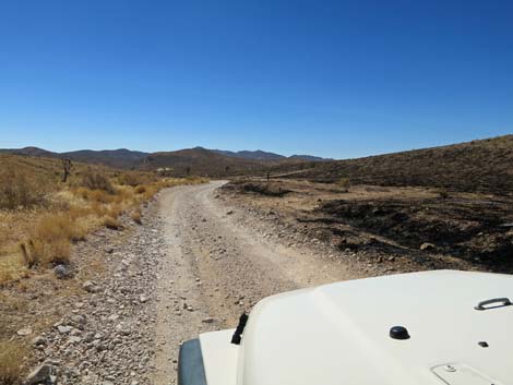
 Cottonwood Valley Road starts to become more rocky (view S) |
 Cottonwood Valley Road at side road right (view S) |
 Cottonwood Valley Road crosses the wash (view S) |
 Cottonwood Valley Road becomes more rough and rocky (view S) |
 More rocks: worse than it looks (view S) |
 Road runs up the wash; frequent washouts here (view S) |
 Cottonwood Valley Road at side road left (view S) |
 Cottonwood Valley Road at side road right (view S) |
 More rocks to avoid (view S) |
 More rocks to avoid (view S) |
 Parts of Cottonwood Valley Road aren't too bad (view S) |
 Cottonwood Valley Road at a small campsite (view S) |
 Cottonwood Valley Road (view S) |
 Cottonwood Valley Road at side road right (view S) |
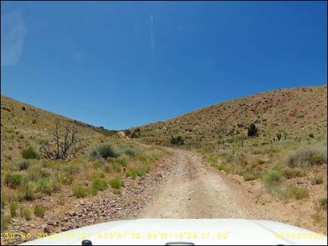
 Cottonwood Valley Road begins climbing towards Cottonwood Pass |
 Good place to lock in the hubs for low-range 4WD (view S) |
 Cottonwood Valley Road exiting Red Rock Canyon NCA (view S) |
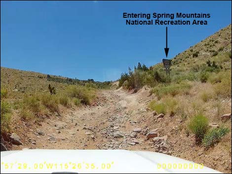 Cottonwood Valley Road entering Spring Mountains NRA (view S) |
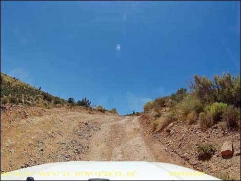 Cottonwood Valley Road climbing very steeply (view S) |
 Cottonwood Valley Road arriving atop Cottonwood Pass (view S) |
 Road 800A (ATV trail) atop Cottonwood Pass (view S) |
 Cottonwood Valley Road atop Cottonwood Pass (view S) |
 Road 800A (view W from Cottonwood Pass) |
 Road 800A (view W from Cottonwood Pass) |
 Cottonwood Valley Road starting down Cottonwood Pass (view S) |
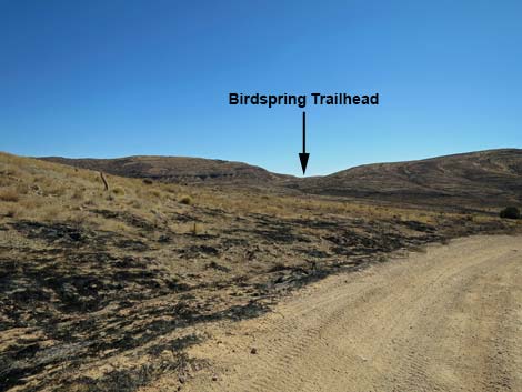 Birdspring Trailhead is visible from Cottonwood Valley Road (view SE) |
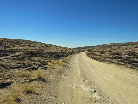
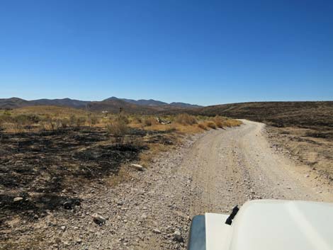
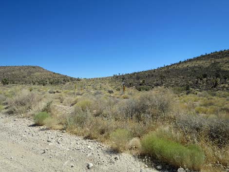
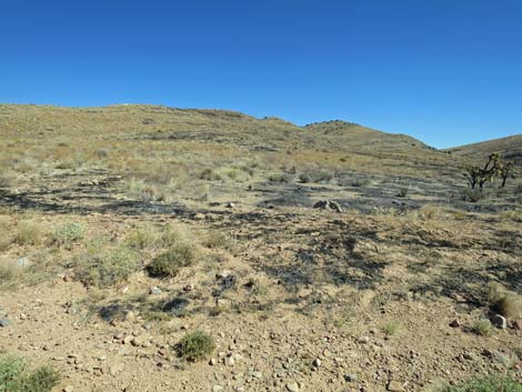 Mix of burned and unburned at edge of the fire (view NE) |
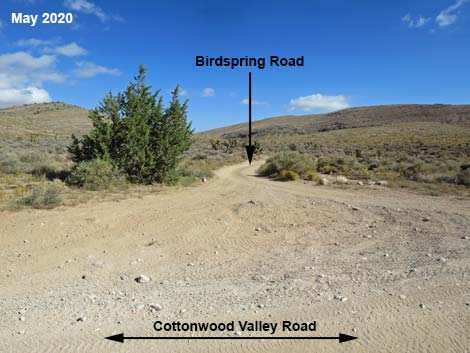
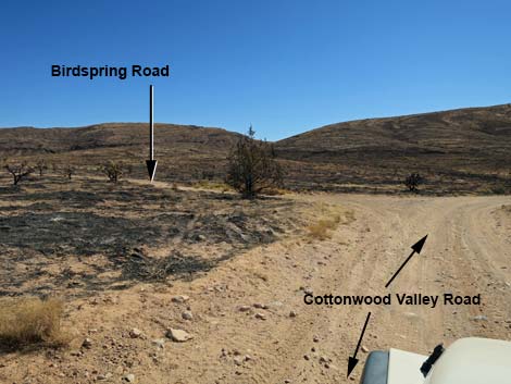 Cottonwood Valley Road at Birdspring Road (view E) |
 Birdspring Mountain Road is open again (view N) |
 Cottonwood Valley Road becomes less rocky (view S) |
 Cottonwood Valley Road; August 2020 (view S) |
 Cottonwood Valley Road is not entirely smooth (May 2020; view S) |
 Cottonwood Valley Road; August 2020 (view S) |
 Approaching end of fire on east side; August 2020 (view S) |
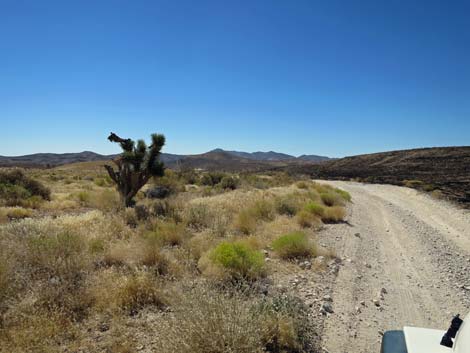 Unburned desert on east side; August 2020 (view S) |
 Cottonwood Valley Road; August 2020 (view S) |
 Cottonwood Valley Road at abandoned Road 800B (view S) |
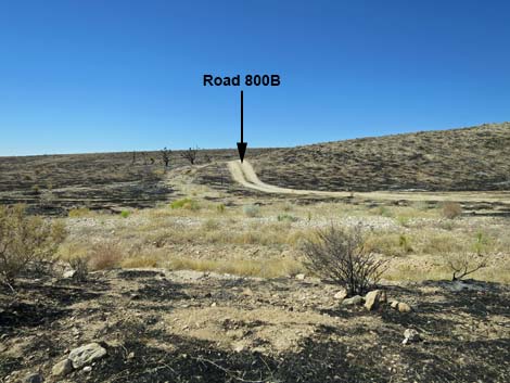 Abandoned Road 800B (view W from Cottonwood Valley Road) |
 Cottonwood Valley Road at side road left (view SE) |
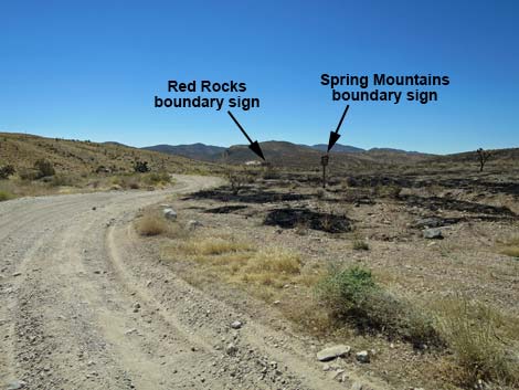 Cottonwood Valley Rd approaching jurisdictional boundary (view SE) |
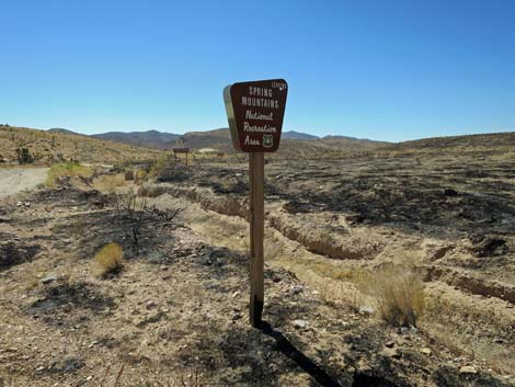 Sign: leaving Spring Mountain NRA southbound (view S) |
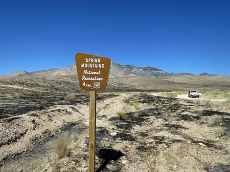 Sign: entering Spring Mountain NRA northbound (view N) |
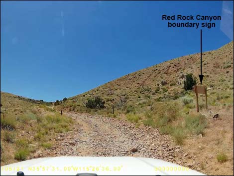
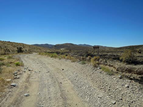 Cottonwood Valley Rd approaching Red Rock Canyon boundary sign |
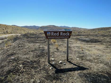 Red Rock boundary sign in August 2020 (view S) |
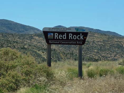 Red Rock boundary sign in May 2020 (view S from CV Road) |
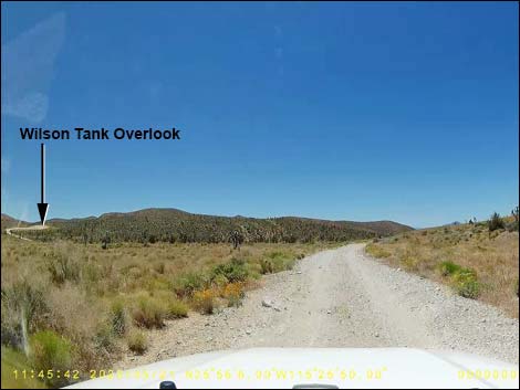 Cottonwood Valley Road approaching Wilson Tank Overlook (view S) |
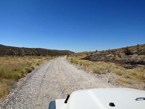 Cottonwood Valley Road (view S) |
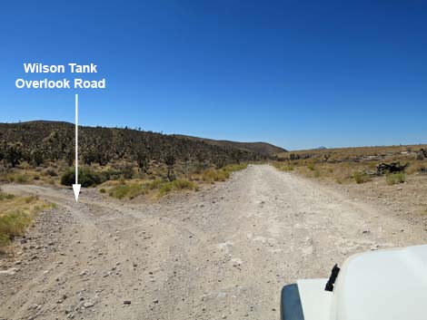 Cottonwood Valley Road at Wilson Tank Overlook Road (view S) |
 Wilson Tank Overlook Road (view SE from Cottonwood Valley Road) |
 Always watch for errant rocks on the road (view S) |
 Possibly some survivors? (view S) |
 Cottonwood Valley Road (view S towards edge of 2020 fire) |
 Comparison: left side never burned; right side burned in 2005 |
 Cottonwood Valley Road approaching Wilson Tank Road (view S) |
 Cottonwood Valley Road at Wilson Tank Road (view S) |
 Comparison: left side never burned; right side burned in 2005 |
 Cottonwood Valley Road approaching gas pipeline crossing (view S) |
 Gas pipeline (view SW; ahead to the right) |
 Gas pipeline (view NE; looking back to the left) |
 Cottonwood Valley Road (view SW) |
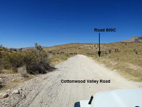 Cottonwood Valley Road approaching Road FS-800C (view SW) |
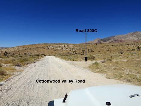 Cottonwood Valley Road at Road FS-800C (view SW) |
Table 1. Highway Coordinates based on GPS Data (NAD27; UTM Zone 11S). Download Highway GPS Waypoints (*.gpx) file.
| Site | Location | UTM Easting | UTM Northing | Latitude (N) | Longitude (W) | Elevation (ft) | Verified |
|---|---|---|---|---|---|---|---|
| 0488 | Cottonwood Rd at 99 Mine Rd | 641404 | 3978040 | 35.93830 | 115.43239 | 4,697 | Yes |
| 0508 | Dawn Mine | 638637 | 3978782 | 35.94538 | 115.46292 | 5,427 | Yes |
| 0849 | Hwy 160 at C-wood Valley Rd | 640016 | 3984735 | 35.99884 | 115.44659 | 4,325 | Yes |
| 0850 | Cottonwood Rd at C-wood Pass | 640566 | 3980003 | 35.95611 | 115.44133 | 4,816 | Yes |
| 0851 | Cottonwood Rd at Birdspring TH | 640938 | 3979762 | 35.95388 | 115.43725 | 4,733 | Yes |
| 0869 | Lombard Rd Trailhead (est) | 638269 | 3979617 | 35.95296 | 115.46685 | 5,693 | Yes |
| 1073 | Cottonwood Valley Parking | 640070 | 3984562 | 35.99727 | 115.44602 | 4,300 | Yes |
| 1125 | FR800B at FR800C | 640480 | 3977749 | 35.93581 | 115.44268 | 4,903 | Yes |
| 1126 | FR800C at FR800 | 639653 | 3978240 | 35.94035 | 115.45176 | 5,122 | Yes |
| 1127 | FR800 at FR800D | 639436 | 3978467 | 35.94243 | 115.45413 | 5,190 | Yes |
| 1128 | FR800 at FR800A | 638752 | 3979427 | 35.95118 | 115.46153 | 5,504 | Yes |
| 1129 | FR800 at 99 Mine Rd | 638509 | 3979531 | 35.95215 | 115.46421 | 5,607 | Yes |
| 1367 | Goodsprings | 641672 | 3966291 | 35.83237 | 115.43150 | 3,686 | Yes |
| 1368 | Cottonwood Valley Rd at S Pavement | 640531 | 3969018 | 35.85711 | 115.44366 | 3,907 | Yes |
| 1369 | Potosi Mtn Rd at Gate | 636411 | 3975668 | 35.91763 | 115.48813 | 5,437 | Yes |
| 1370 | Hwy I-15 at Hwy 161 (Jean) | 651168 | 3960722 | 35.78076 | 115.32747 | 2,881 | Yes |
| 1542 | Cottonwood Rd at Badger TH Rd | 640348 | 3983677 | 35.98925 | 115.44309 | 4,304 | Map |
| 1543 | Cottonwood Rd at Wilson Tank Overlook Rd | 641644 | 3977590 | 35.93421 | 115.42981 | 4,604 | Map |
| 1544 | Cottonwood Rd at Wilson Tank Rd | 641710 | 3977081 | 35.92961 | 115.42917 | 4,580 | Map |
| 1545 | Wilson Tank Overlook | 641877 | 3977562 | 35.93392 | 115.42723 | 4,631 | Map |
Happy Hiking! All distances, elevations, and other facts are approximate.
![]() ; Last updated 240330
; Last updated 240330
| Backroads | Hiking Around Las Vegas | Glossary | Copyright, Conditions, Disclaimer | Home |