Hiking Around Las Vegas, Red Rock Canyon National Conservation Area
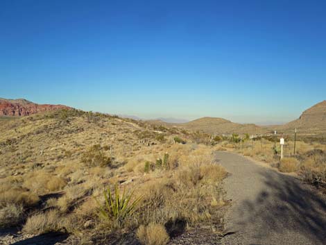
 Overlook Trail trailhead (view NE) |
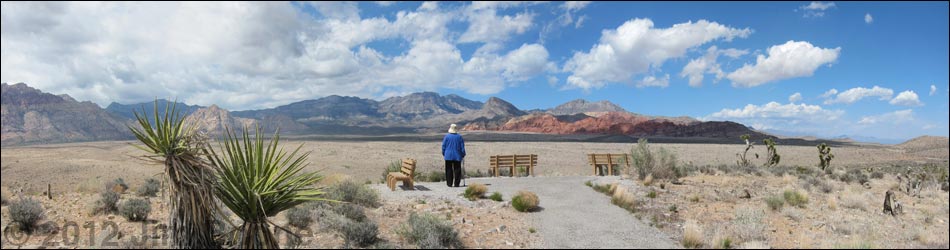
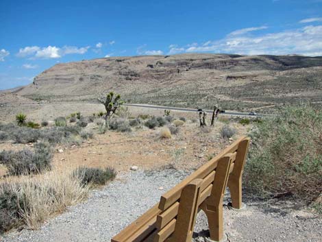
Overview This short trail, only 0.5-miles round trip, runs east from the Overlook Parking Area to the end of a low ridge overlooking Red Rock Wash. There are grand views in all directions, including north towards the Calico Hills and the La Madre Mountain Wilderness Area, west to the Wilson (Red Rock) Cliffs and the Rainbow Mountain Wilderness Area, south to Blue Diamond Hill, and east to Las Vegas. The trail is paved, has benches to sit and enjoy the view, is fully accessible, and there are a few small fossils to find in the rocks along the trail. Link to map or elevation profile. |
 In the picnic area, looking up the trail (view NE) |
Watch Out Other than the standard warnings about hiking in the desert, ...this is a safe hike if you stay on the paved trail. Be careful if you wander around the hillside looking for fossils. While hiking, please respect the land and the other people out there, and try to Leave No Trace of your passage. Also, because this hike is so short, you don’t really need to bring the 10 Essentials. |
 Overlook Trail departing the picnic area (view NE) |
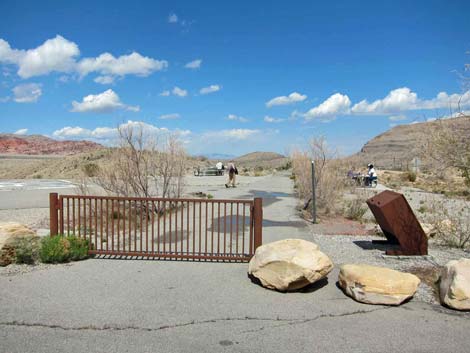
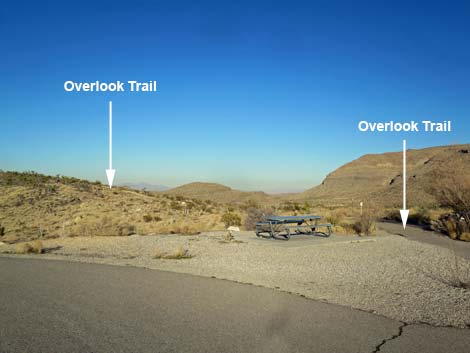
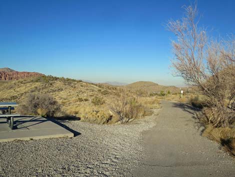
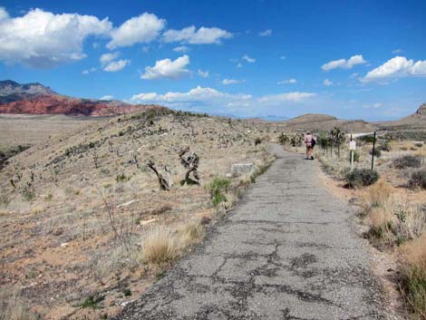
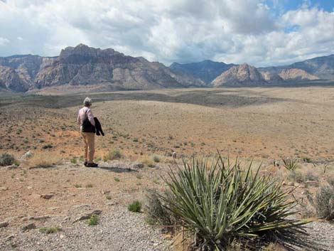
Getting to the Trailhead This hike is located in Red Rock Canyon National Conservation Area, about 35 minutes from town, but not on the Scenic Loop Road. Drive out West Charleston Blvd, past the entrance to the Scenic Loop Road, to the Red Rock Overlook Trailhead. Park here; this is the trailhead. The Hike From the trailhead (Table 2, Waypoint 01), the paved trail runs east past the emergency helicopter landing zone and several picnic tables. The small trailhead sign says that the round trip is 0.25 miles, but they must have extended the trail after they put up the sign, because the trail is 0.22 miles long one-way. |
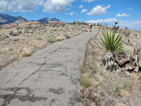
 Overlook Trail beyond the picnic area (view NE) |
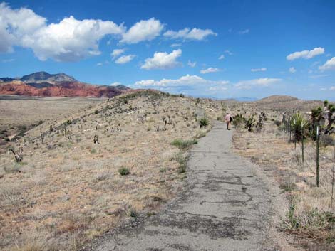
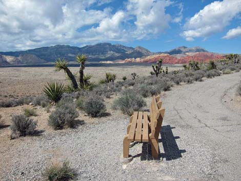
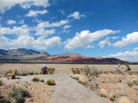
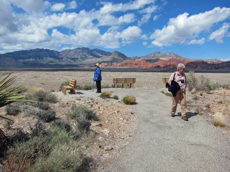
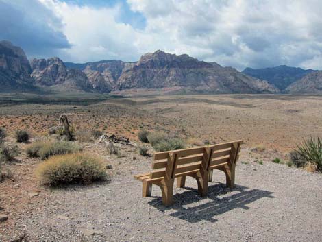
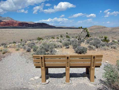
The trail gently climbs along the crest of the ridge for 0.13 miles to a wide spot in the trail with a park bench (Wpt. 02). If you don’t have the time or desire to hike the entire trail, walking to here makes for a pleasant little excursion away from the hustle and bustle of the parking area to a place to sit, relax, and enjoy the sights and sounds of the desert wilderness. Beyond the first bench, the trail runs for 0.09 miles to the end of the ridge (Wpt. 03) where three benches provide a nice place to relax at the end of the trail. |
 |
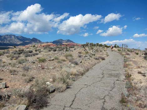
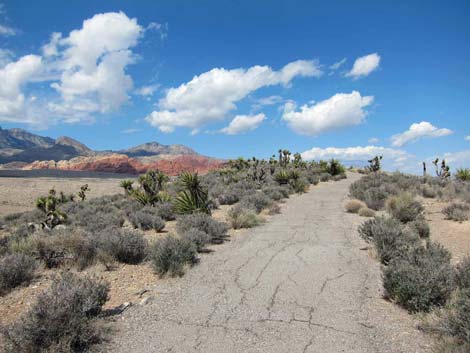
The Mojave Desert Scrub vegetation along the trail is typical of limestone ridges in this part of the desert. The dominant species of low-growing shrub is blackbrush. There are also many Mojave yucca (long, sword-like leaves with a spine on the end) growing along the trail. This species of yucca tends to grow to about 5-feet tall, but here some grow unusually tall, making them look a bit like Joshua trees, which are the taller yuccas with shorter, blade-like leaves. The trail provides grand views in all directions. To the northeast are the brilliant-red and white sandstone crags of the Calico Hills. To the north is the stark gray La Madre Range, the highest peak of which is La Madre Mountain. These peaks are in the La Madre Mountain Wilderness Area. To the west are the red-and-white banded sandstone Wilson Cliffs (the Red Rock Escarpment) with nice views of Wilson, Rainbow, and Bridge mountains. These peaks are in the Rainbow Mountain Wilderness Area. |
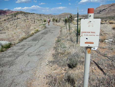 Trail sign (view NE) |
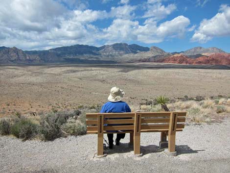
To the south is Blue Diamond Hill, another limestone ridge deeply cut with rocky canyons. Tailings and roads from the Hardy Gypsum Mine can be seen on the far end of Blue Diamond Hill. The benches at the end of the trail even provide a view down into the Las Vegas Valley, although I would prefer to gaze in other directions. On the way back down to the trailhead, consider wandering off the trail a bit to look for fossils in the rocks along the crest of the ridge. We found a few, small white snail shells in the 230-million-year-old limestone rocks along the trail. Return to the trailhead by wandering back down the paved trail. |
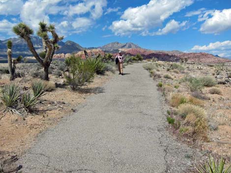
 Hiker starting up the Overlook Trail (view NE) |
 Mojave Yucca along the trail (view NE) |
 Hiker on the Overlook Trail (view NE) |
 Middle bench (view NE) |
 |
 |
 Approaching the end of the trail (view NE) |
 End of the trail (view NE) |
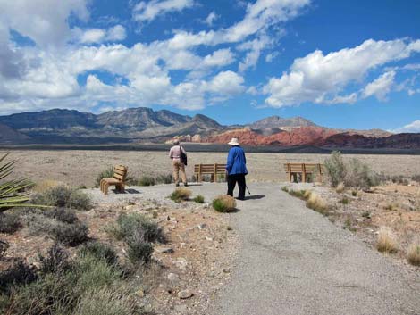 Three benches at the end of the trail (view NE) |
 Bench with view to the west |
 Bench with view to the north |
 Bench with view to the east |
 Blue Diamond Hill (view SE from East Bench) |
 Hiker on the edge (view NW) |
Table 2. Hiking Coordinates and Distances based on GPS Record (NAD27; UTM Zone 11S). Download GPS Waypoints (*.gpx) file.
| Wpt. | Location | Easting | Northing | Elevation (ft) | Point-to-Point Distance (mi) | Cumulative Distance (mi) | Verified |
|---|---|---|---|---|---|---|---|
| 01 | Trailhead | 640084 | 3997885 | 3,840 | 0.00 | 0.00 | Yes |
| 02 | Middle Bench | 640205 | 3998040 | 3,858 | 0.13 | 0.13 | Yes |
| 03 | Summit and Three Benches | 640263 | 3998167 | 3,868 | 0.09 | 0.22 | Yes |
Happy Hiking! All distances, elevations, and other facts are approximate.
![]() ; Last updated 240330
; Last updated 240330
| Hiking Around Red Rocks | Hiking Around Las Vegas | Glossary | Copyright, Conditions, Disclaimer | Home |