Hiking Around Las Vegas, Red Rock Canyon National Conservation Area
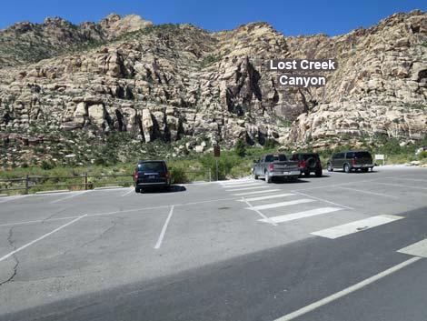 Lost Creek trailhead parking (view W) |
Overview This short (0.31 miles one way), but very pleasant trail runs across Red Rock Wash and up a short canyon in the Red Rocks cliffs to a waterfall inside the Rainbow Mountain Wilderness Area. The trail ends in a pretty little box canyon with a waterfall that flows during winter, spring, and after rainstorms. A spring in the willow thicket at the base of the canyon almost always has water. During wet years, the trail into the canyon can be flooded and travel can be somewhat difficult if you want to keep your feet dry, but the waterfall can be spectacular under those conditions. Lost Creek falls can be visited as short spur off the Willow Spring Loop Trail. This is a good hike for young kids. Link to map. Link to BLM Georeference PDF map file. |
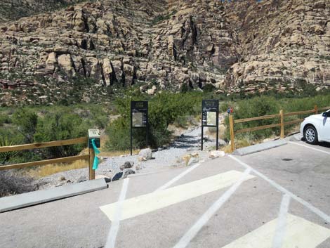 Lost Creek Trailhead (view W) |
Watch Out Other than the standard warnings about hiking in the desert, ...this is a good safe hike, although the trail in the canyon is rocky and might be difficult for people with walking difficulties. Care should always be taken on wet or icy rocks, and if you get wet sand on your feet, the rocks in the trail can be slippery. While hiking, please respect the land and the other people out there, and try to Leave No Trace of your passage. Also, even though this is a short hike, be sure to bring what you need of the 10 Essentials. This trail leads into a designated wilderness area, so please pay particular attention to taking care of the land. |
 Start of the trail (view W) |
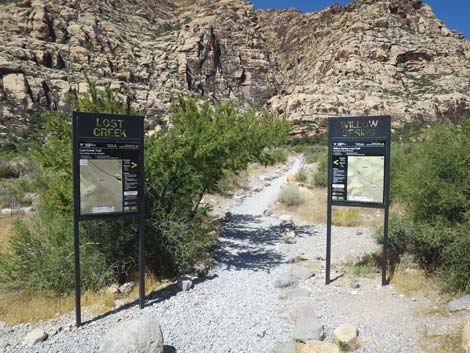
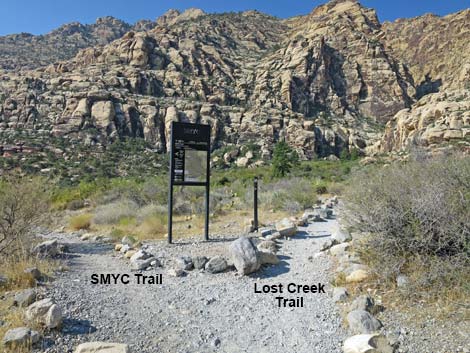
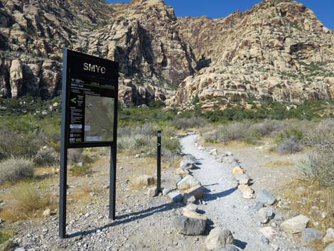
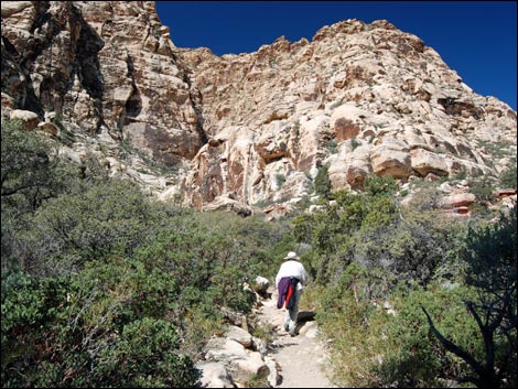
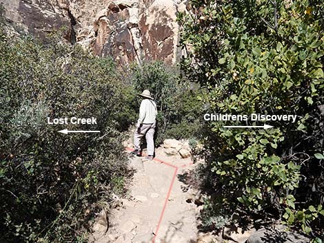
Getting to the Trailhead This hike is located along the Scenic Loop Road in Red Rock Canyon National Conservation Area, about 1 hour west of Las Vegas. Drive out to Red Rocks, pay the fee, and then drive about half-way around the Scenic Loop Road to Willow Spring Road. Turn right and drive north 0.2 miles to the Lost Creek Trailhead. Park here; this is the trailhead. The Hike Two trails run west from the paved parking lot. The Lost Creek Trail starts on the west side of the parking lot (near the middle) and runs straight (southwest) across Red Rock Wash towards a big willow thicket, a tall ponderosa pine tree, and the mouth of Lost Creek Canyon. The Children's Discovery Loop Trail starts at the northwest corner of the parking lot (by the big sign) and angles upstream and across the wash (more due west). |
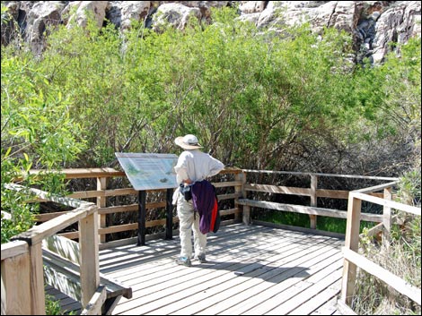
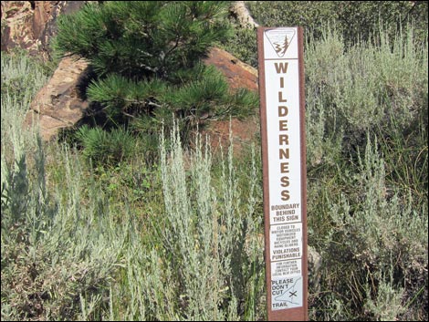
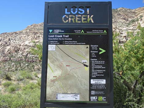 Lost Creek Trail information sign (view SW) |
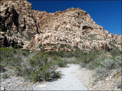
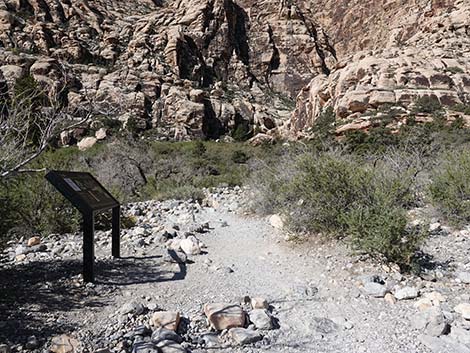
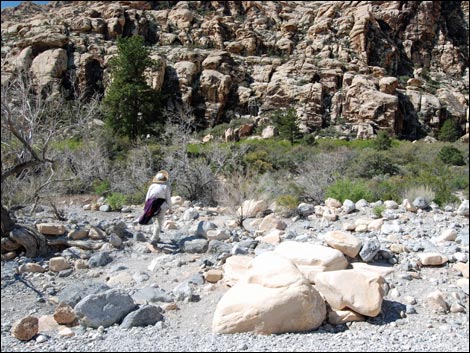
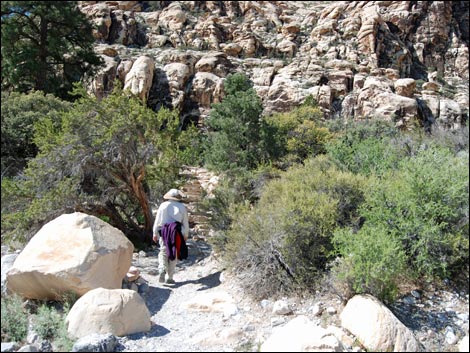
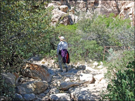
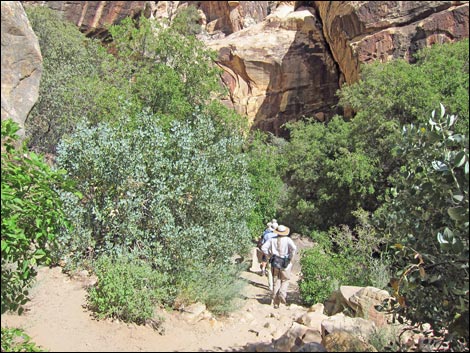
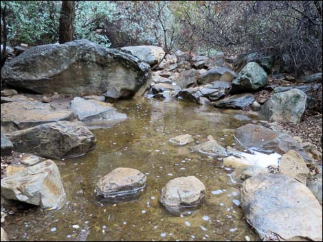
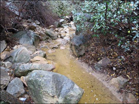
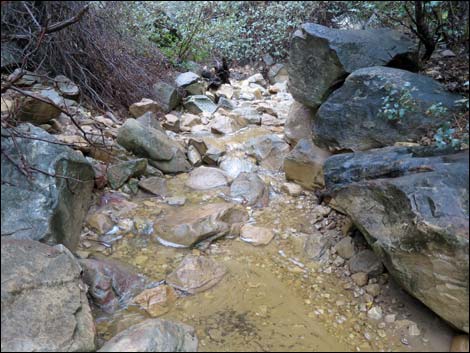
From the Lost Creek Trailhead (Table 1, Waypoint 01), walk southwest on the Lost Creek Trail heading for the willow thicket. About 80 yards out (Wpt. 02), before crossing the wash, the SMYC Trail forks off to the south (right) and runs south for several miles along the base of the escarpment. Continue west to Red Rock Wash. In wet years, water flows in the wash. It is always nice to see water in the desert, and there should be enough flagstones to cross the wash without getting wet. If the water is too high, don't try to cross the wash. Species of plants capable of withstanding flashfloods grow in the wash. These include the desert willow and California redbud "trees" that grow up and down the wash. Across the wash, the trail runs up stone stairs on the streambank and wanders up the heavily vegetated hillside towards the willow thicket. The hillside vegetation includes big sagebrush, a higher-elevation species that is unusual at this low elevation. |
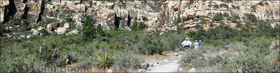
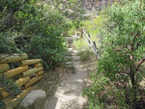
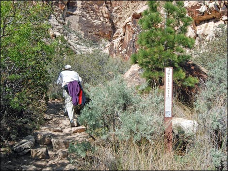
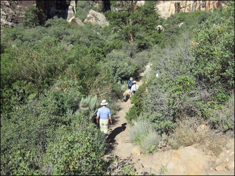
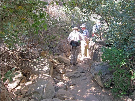
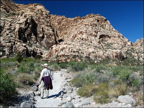 Hiker starting on trail (view W) |
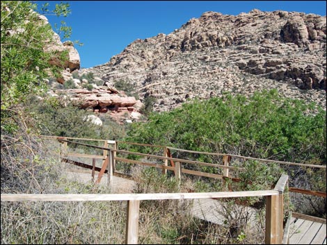
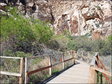
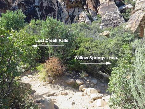
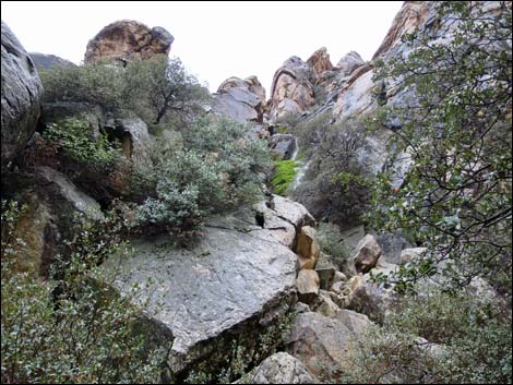
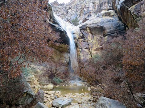
Shortly, hikers arrives at the boardwalk through a willow thicket, which is good because people used to trample everything here. Some areas are blocked off to let the vegetation grow back; please respect the signs. While here, stop and sit on the benches, relax in the shade of the willows, and listen to the birds. Beyond the thicket and the boardwalk, and the trail continues straight into Lost Creek Canyon. About 20 yards past the boardwalk, an unmarked trail branches off to the north (right) and runs up the main canyon towards Willow Springs; this is the west side of the Willow Springs Loop Trail and the far side of the Children’s Discovery Trail. Just past the trail junction, the Lost Creek Trail descends a set of stone stairs into the bottom of Lost Creek Wash and enters the narrow canyon. The trail quickly crosses the wash, passes a beautiful old ponderosa pine, and cuts up the other side of the canyon on more stone steps. After a couple of minutes of winding among and under oak trees and huge boulders, the trail ends in a box canyon beneath the waterfall (Wpt. 03). |
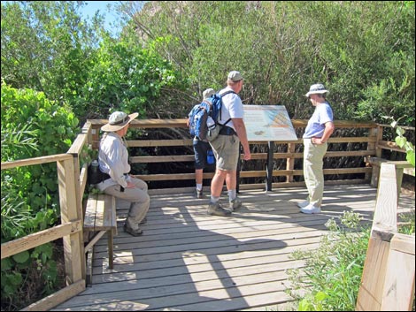
 Information sign (view S) |
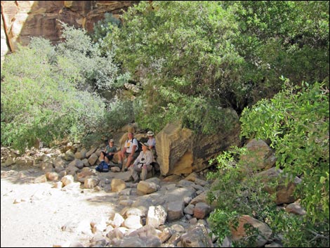
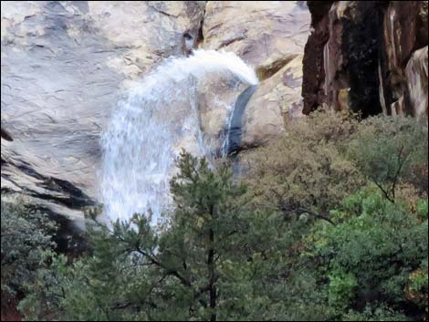
When the water is flowing, the canyon can be cold and damp, but most of the year, the falls are dry or have only a trickle of water. Either way, this is another nice place to rest, watch for bighorn sheep on the cliffs, and listen to the songs of Canyon Wrens. When ready to return to the trailhead, follow your footprint back down the canyon. For the more adventuresome: There is no easy way to climb out of the box canyon and pass the waterfall here, but the Upper Lost Creek Falls route climbs round the cliffs to the north of Lost Creek Canyon and circles back into the canyon. The upper route is exposed and not suitable for young children. Always use your own good judgment. |
 Information sign (view S) |
 The SMYC Trail forks off to the right (view W) |
 Trail junction sign for SMYC Trail (view W) |
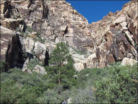
 Trail bends towards Lost Creek Canyon (view W) |
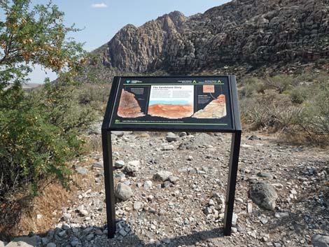
 Approaching another information sign (view W) |
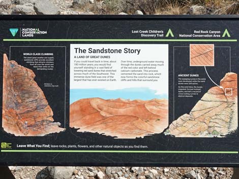
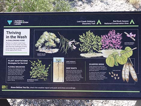 Information sign: Thriving in the Wash (view S) |
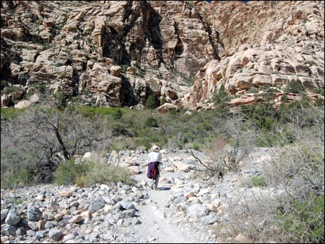 Crossing Red Rock Wash (view SW) |
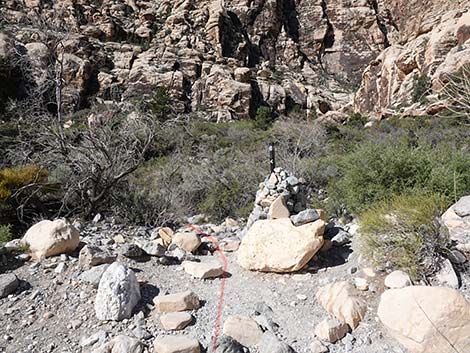 Cairn and trail sign in the wash (view W) |
 Hiker crossing Red Rock Wash (view SW) |
 More to come ... |
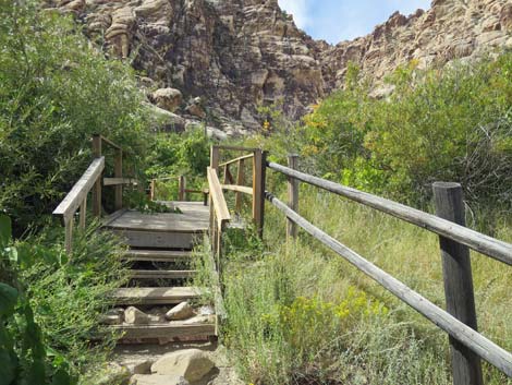
 Hiker approaching tone stairs (view SW) |
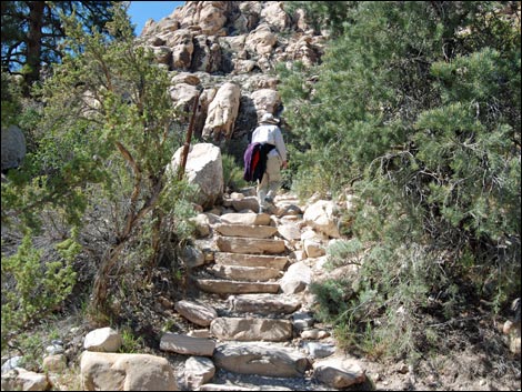 Hiker on stone stairs climbing out of Red Rock Wash (view SW) |
 |
 |
 Approaching boardwalk through willow thicket (view W) |
 Start of boardwalk through willow thicket (view W) |
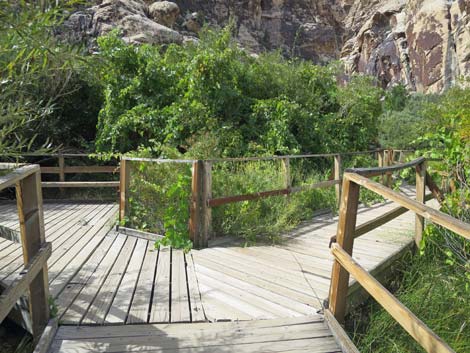 Boardwalk through willow thicket (view W) |
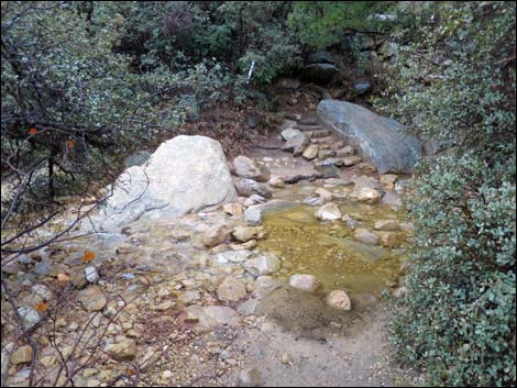
 Boardwalk by Lost Creek Spring (view W) |
 On the boardwalk |
 On the boardwalk |
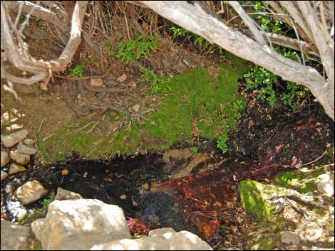 Lost Creek below the boardwalk |
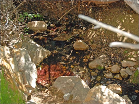 Lost Creek below the boardwalk |
 |
 |
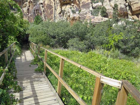 Desert meadow with wild grape vines (view W) |
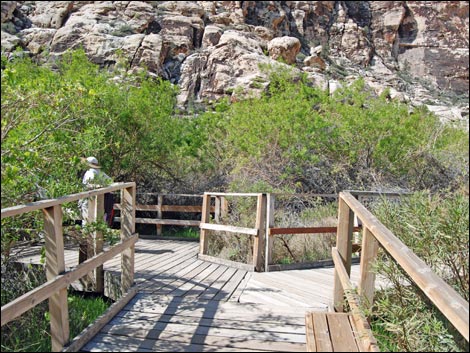
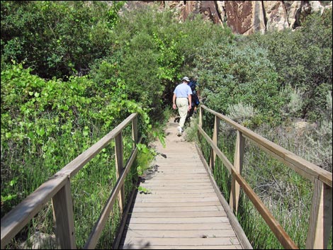 Hiker exiting the boardwalk (view W) |
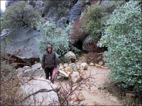
 Hiker entering the wilderness area (view W) |
 Entering Rainbow Mountain Wilderness Area (view NW) |
 Hiker at unmarked trail junction (view W) |
 Unmarked trail junction; stay left to falls (view W) Unmarked trail junction; stay left to falls (view W) |
 Trail drops down along wash (view W) |
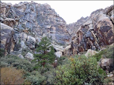
 Lost Creek box canyon (view W) |
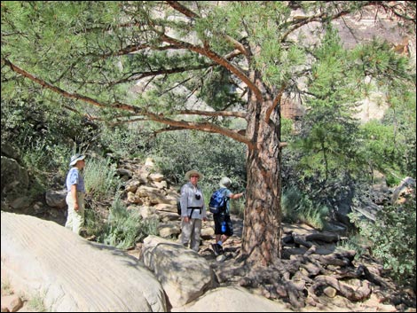 Ponderosa Pine by the wash (stone stairs past tree) |
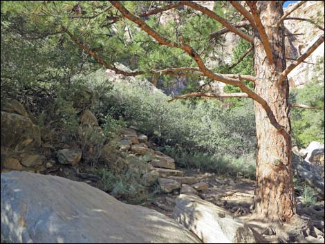 Stone stairs above Ponderosa Pine |
 Trail deep under canyon live oak trees (view SW) |
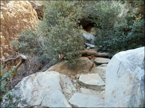 Stone stairs between rocks and bushes |
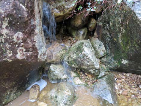
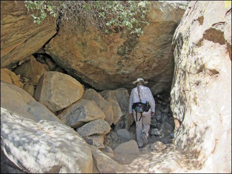 Entering the rabbit-hole tunnel (view SW) |
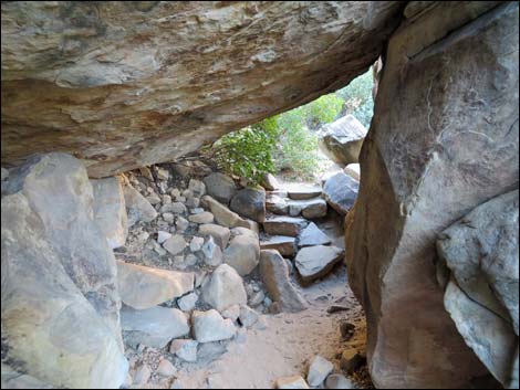 The rabbit-hole tunnel (view W) |
 Arriving at the end of the trail (view NW) |
 Relaxing in the shade (view N) |
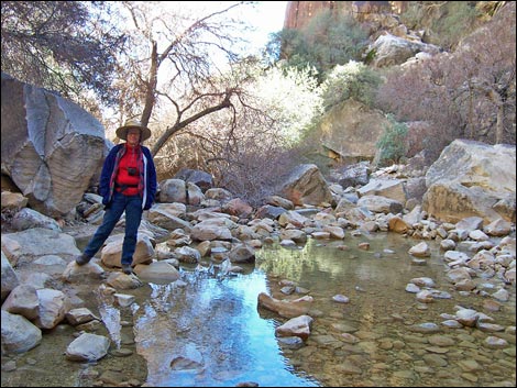 Water below the falls during late spring (view E) |
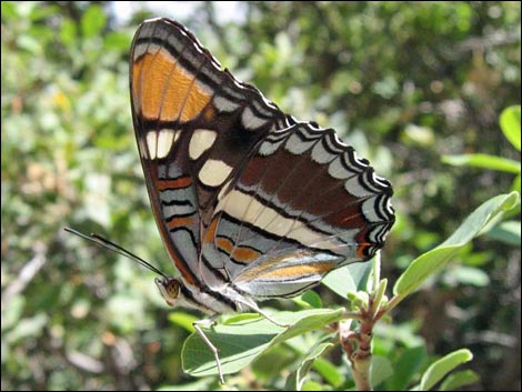 Be sure to look for the little things too (Arizona Sister) |
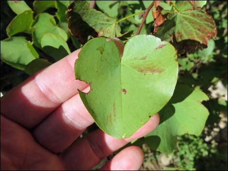 Heart-shaped California Redbud leaf |
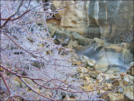 Ice on shrubs below the falls during winter |
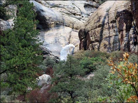
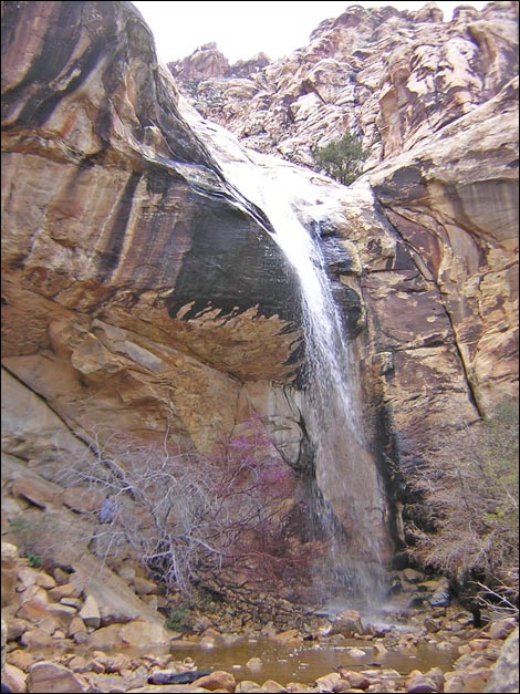 Lost Creek Falls with water (view NW) |
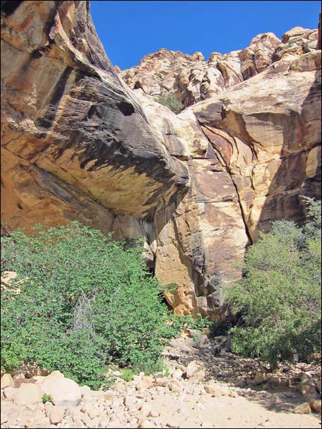 Lost Creek Falls dry (view NW) |
Stormy Day Photos
 |
 |
 |
 |
 |
 |
 |
 |
 |
 |
 |
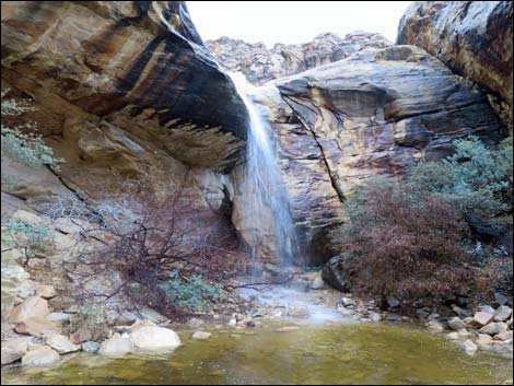 |
Table 1. Hiking Coordinates Based on GPS Data (NAD27; UTM Zone 11S). Download Hiking GPS Waypoints (*.gpx) file.
| Wpt. | Location | Easting | Northing | Elevation (ft) | Point-to-Point Distance (mi) | Cumulative Distance (mi) | Verified |
|---|---|---|---|---|---|---|---|
| 01 | Lost Creek Trailhead | 635573 | 4002262 | 4,476 | 0.00 | 0.00 | Yes |
| 02 | SMYC Trail | 635496 | 4002239 | 4,474 | 0.05 | 0.05 | GPS |
| 03 | Lost Spring | 635314 | 4002124 | 4,505 | 0.15 | 0.20 | GPS |
| 04 | Willow Springs Loop Trail | 635269 | 4002122 | 4,523 | 0.03 | 0.23 | GPS |
| 05 | Lost Creek Waterfall | 635168 | 4002078 | 4,518 | 0.08 | 0.31 | GPS |
Happy Hiking! All distances, elevations, and other facts are approximate.
![]() ; Last updated 240330
; Last updated 240330
| Hiking Around Red Rocks | Hiking Around Las Vegas | Glossary | Copyright, Conditions, Disclaimer | Home |