Hiking Around Las Vegas, Red Rock Canyon National Conservation Area
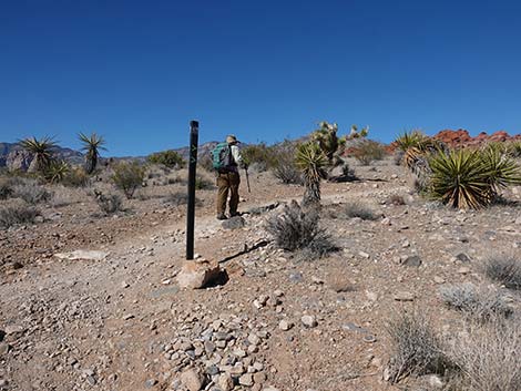
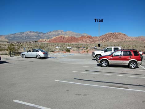 Entrance Station Trailhead Parking (view N) |
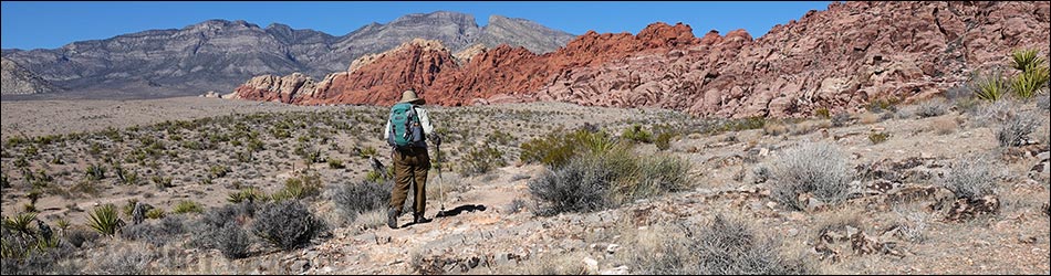
Overview This fairly easy hike follows interconnected trails that run between the Red Rock Entrance Station and the Red Spring Picnic Area. The hike can be done in either direction, but here it is described as starting at the Entrance Station, connecting with the Grand Circle Trail, then following use-trails and the Calico Overlook Trail to Red Spring. There are two use-trails in the middle-third of the hike, so this part can be done as a "loop." Other use-trails provide various alternatives. The scenery along this route is grand, and it gives nice, close-up views of crags and cliffs on the south end of the Calico Hills. Link to map or elevation profile. |
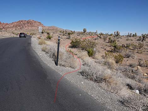
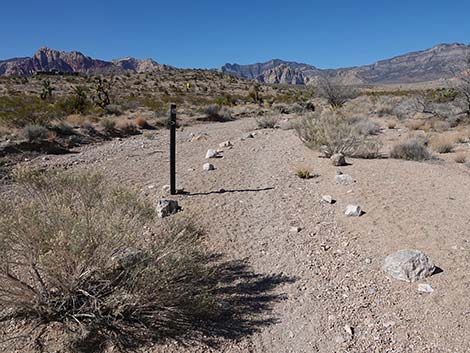
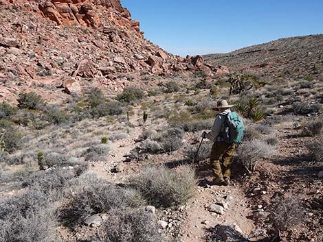
 Trail starts by "walking human" caution sign (view NE) |
Watch Out Other than the standard warnings about hiking in the desert, ...this is a fairly easy hike with no unusual hazards. This route is appropriate for young children, but parts are steep with loose gravel. While hiking, please respect the land and the other people out there, and try to Leave No Trace of your passage. Also, even though this hike is short, be sure to bring what you need of the 10 Essentials. Getting to the Trailhead This hike is located along the Scenic Loop Road in Red Rock Canyon National Conservation Area, about 30 minutes west of Las Vegas. Drive out to Red Rocks, pay the fee, then drive forward and turn left onto the exit road and left again into the Entrance Station Trailhead behind the fee booths. Park here; this is the trailhead. Alternatively, use the Red Spring Trailhead in Calico Basin and hike the trail in the other direction. |
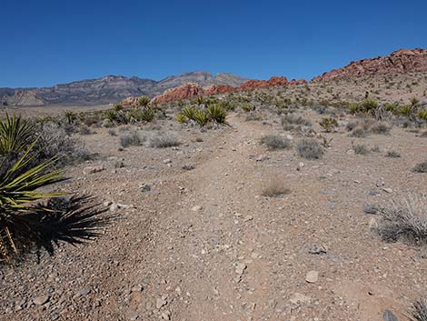
 Beginning of the trail (view NE) |
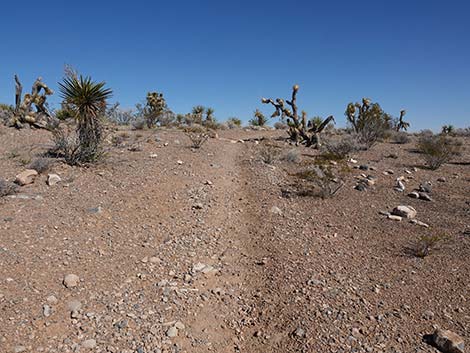
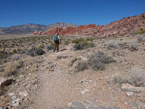
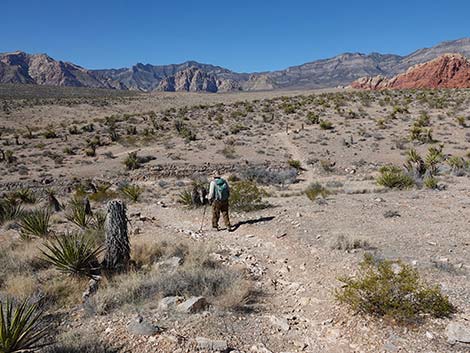
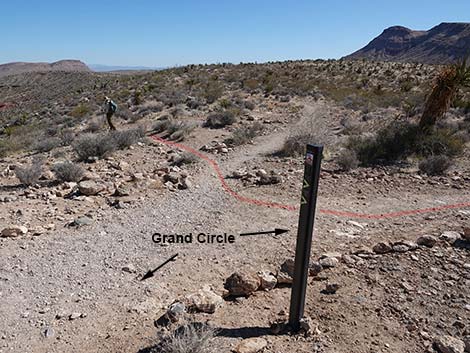
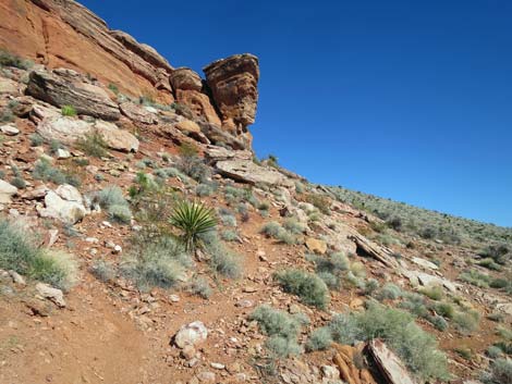
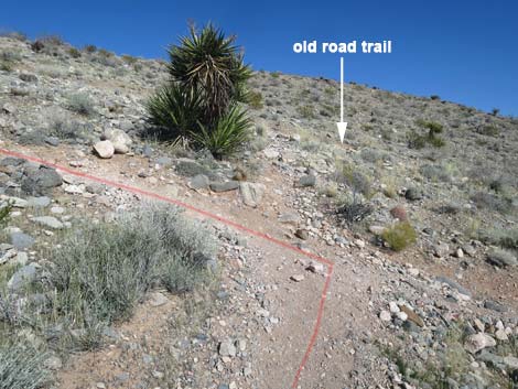
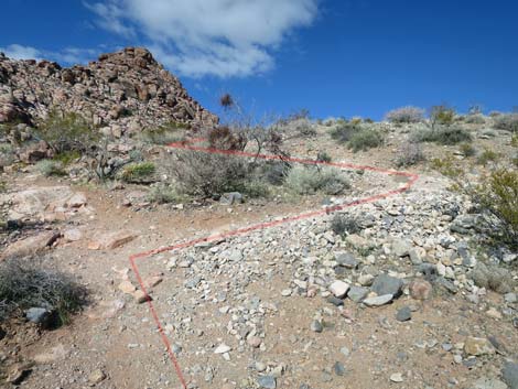
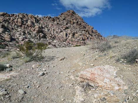
The Hike From the Entrance Station parking lot, walk across the entrance road to the northeast corner of the round-about intersection (as if walking up the Scenic Loop Road). Across the intersection, the trailhead (Table 1, Waypoint 01) is marked by a "walking human" caution sign. From the sign (Wpt. 01), the trail angles away from the Scenic Loop Road and runs east across rolling terrain to an old road (Wpt. 02). The trail turns left onto the old road and runs north towards the Calico Hills. The trail climbs over a low hill, drops into and follows a sandy wash, climbs over a longer low hill, dips through a gully, and eventually reaches a junction (Wpt. 03) with the Grand Circle-Calico Hills Trail. To the left, this trail runs west to the Visitor Center. Turning right, the trail climbs onto a ridgetop and intersects (Wpt. 04) another set of trails. The ridgetop provides the first views down into Calico Wash, the deep canyon along the south edge of the Calico Hills. From here (Wpt. 04), the Grand Circle-Calico Hills Trail continues to the northwest heading up the ridgeline. In the opposite direction, a use-trail runs southeast down the ridgeline. Although harder to see, another use-trail runs almost due east down the hillside into the canyon. |
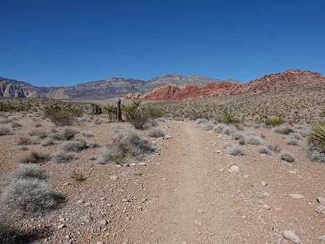
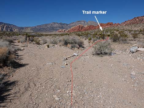
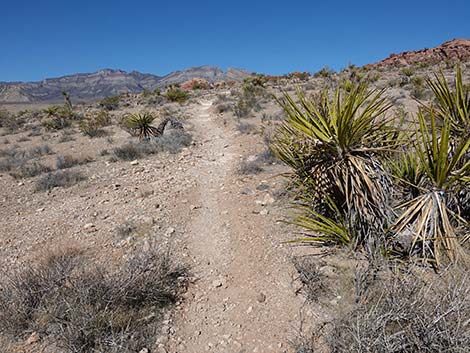
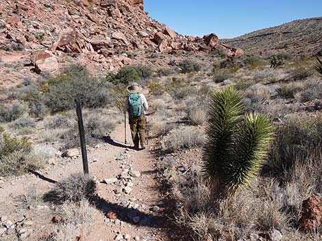
 The trail veers away from the road (view E) |
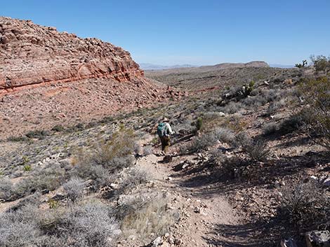
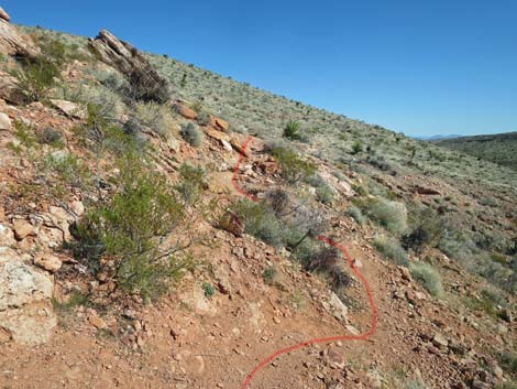
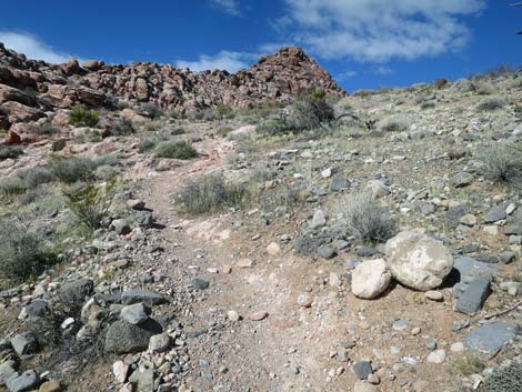
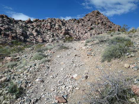
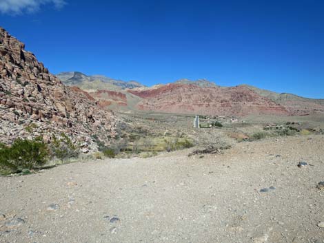
The use-trail that stay on the ridgeline and the use-trail that drops into the canyon both lead to Red Spring Picnic Area and can provide a bit of a "loop." From the trail junction atop the ridge (Wpt. 04), the more direct route to Red Spring crosses over the ridge and descends steeply towards Calico Hills Wash. This trail passes Mojave Yuccas and limestone outcrops full of Paleozoic fossils, and then near the bottom of the canyon, reaches a junction (Wpt. 14) with the Calico Overlook Trail. Continuing east down the canyon following the Calico Overlook Trail, the trail runs above Calico Wash until dropping steeply into the sandy wash. This an area where enormous boulders are breaking off the cliffs and tumbling down towards the wash. Several use-trails depart the wash in this area, and perhaps the easiest route to Red Spring is to cross the wash, stay to the right of the enormous boulders, and climb towards the east edge of the cliffs ahead. One way or another, hikers eventually join an old road that leads to the ridgeline ahead (Wpt. 10), from which hikers get a grand view down into the Red Spring Meadow. |
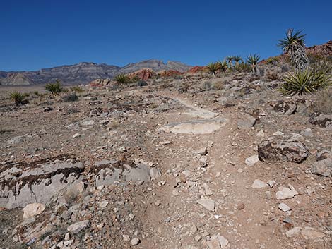
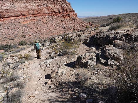
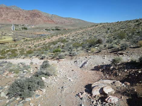
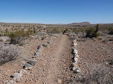 Sections of the trail are lined with rocks (view E) |
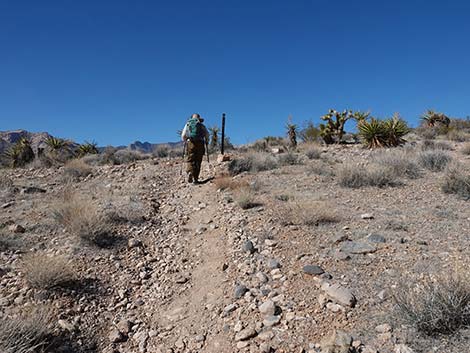
From back at the trail junction atop the first high ridge (Wpt. 04), hikers can take the other trail to Red Spring. Turning hard to the right and running southeast atop the ridgeline, the route provides good views into the canyon, up along the spine of the Calico Hills, and also south towards Blue Diamond Hill. Farther out, be sure to look north across the canyon and take note of the old roads and use-trails that climb the hillside around the southeast corner of the Calico Hills, as this is where the route will eventually go. The use-trail on the ridgeline can be followed until it runs under powerlines and turns north to drop steeply into the canyon, but an easier use-trail cuts off the ridgeline (Wpt. 05) and drops at a more moderate rate to intersect the old road about halfway down the hillside (Wpt. 06). |
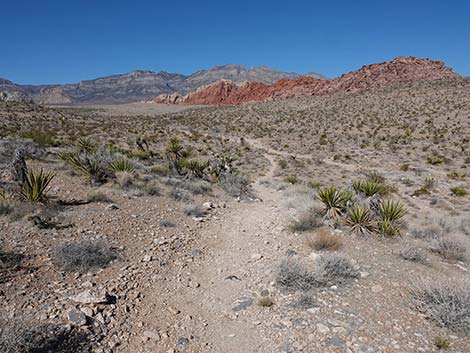
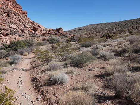
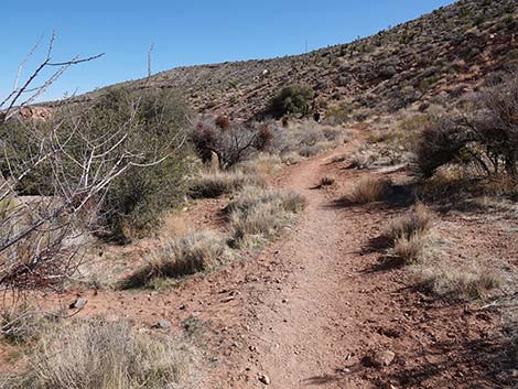
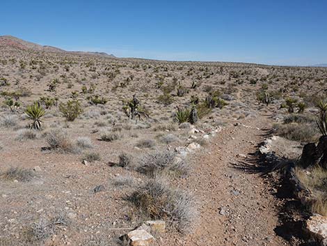 The trail continues east away from the road (view E) |
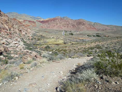
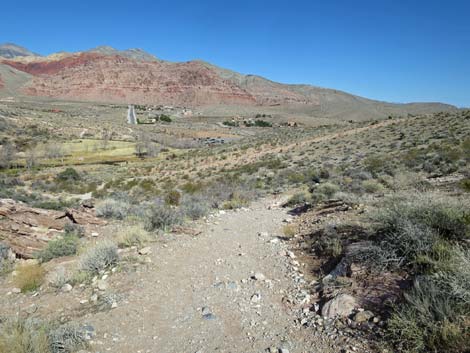
Continuing down the hillside on the old road, the route quickly arrives at a T-intersection (Wpt. 07) with an old road that runs up the canyon. Turning to the left and hiking west into the bottom of the canyon, the route crosses the wash and immediately turns north onto another old road (Wpt. 08) and starts to climb out of the canyon heading north. About halfway up the hillside (Wpt. 09), a use-trail angles off and down to the west. On the way back, this is the start of the "loop." Continuing up the hillside, the route reaches the top of the ridge (Wpt. 10) with great views north into the Red Spring area and out across Calico Basin to Kraft and other mountains in the distance. A short use-trail leads east to a highpoint with great views, and a short scramble west leads to a rocky overlook. Crossing the ridgeline and continuing down the steep hillside on a broad road scar, the trail reached the flats below and a trail junction (Wpt. 11) that leads through a gate onto the Red Spring Boardwalk. |
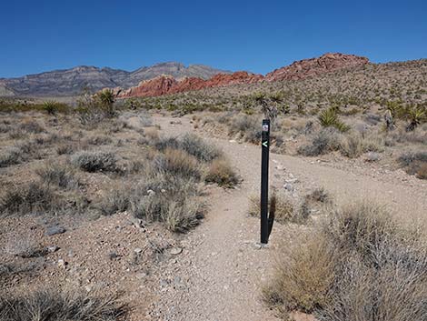
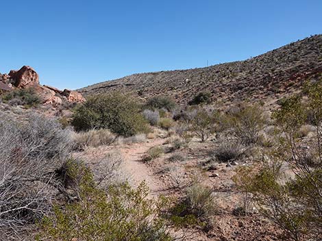
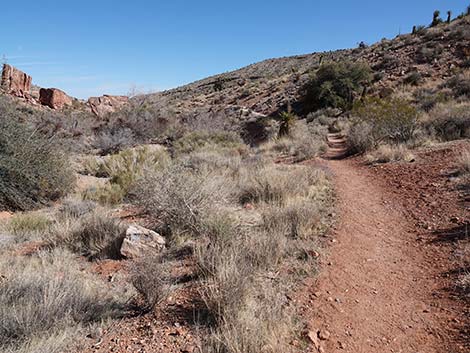
 Eventually the trail curves to the left to head north (view E) |
Continuing, the use-trail runs around the outside of the fenced boardwalk area and down into the Red Spring Picnic Area (Wpt. 12). At Red Spring, sit in the shade, listen to the birds in the trees, use the restroom, and relax a bit. When ready to hike back the the Entrance Station, consider starting out on the Red Spring Boardwalk Trail. On the south end of the boardwalk near Red Spring, a spur leads to a gate. Be sure to close the gate to prevent wild burros from getting in an trampling rare plants growing in the meadow. Just beyond the gate, the route follows the old road scar up the hillside to the top of the ridge (Wpt. 10). Several use-trails cut off into the boulders, but it is easier to stay on the old road, angling to the right near the top of the ridge. Atop the ridge, hikers can hike back the way they came, or consider returning over the other use-trail. From the top of the ridge, hikers can look down and see the different route, but either way, routes lead back to the top of the far ridge and then back to Entrance Station (Wpt. 01). |
 The trail now runs north parallel to the roadway (view N) |
 The trail climbs onto a low hill with great views (view N) |
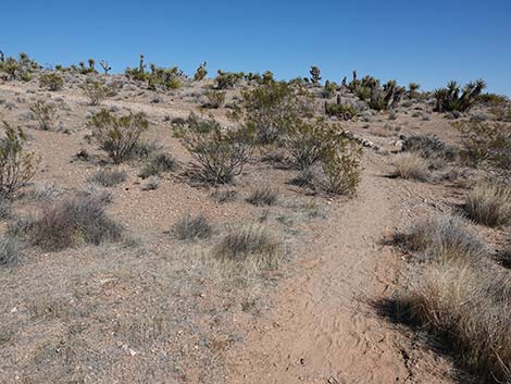
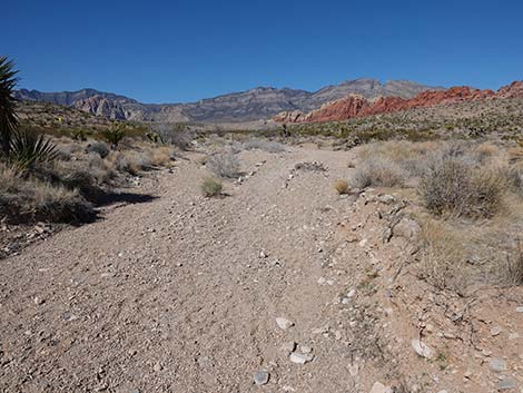
 Descending into a sandy wash (view N) |
 Trail sign marks entry into the wash (view N) |
 The trail follows up the wash (view N) |
 A trail sign and aligned rocks indicate the path (view N) |
 Aligned rocks indicates that the trail exits the wash (view N) |
 The trail exits the wash (view N) |
 The trail gently climbs the hillside (view N) |
 The trail continues up the gentle slope (view N) |
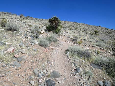
 Lots of Mojave Yucca along the trail (view N) |
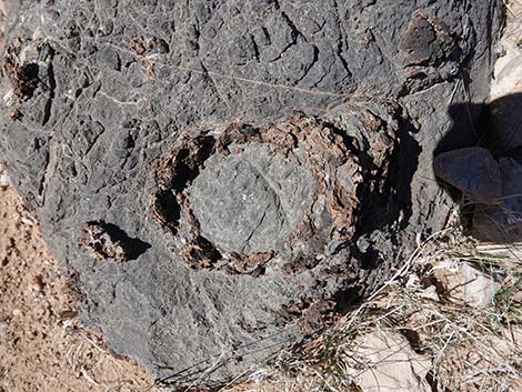
 Lots of fossiliferous material in the limestone rock (view N) |
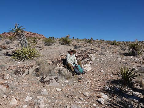 Stone benches make a nice place to sit and relax (view NE) |
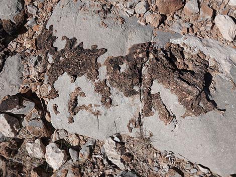 Fossiliferous material (fossilized muck) in the limestone rock |
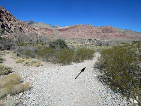
 The trail continues over a low rise (view N) |
 The trail descends to cross a gully (view N) |
 Climbing to a trail junction (view N) |
 Trail junction with Grand Circle Trail (view N) |
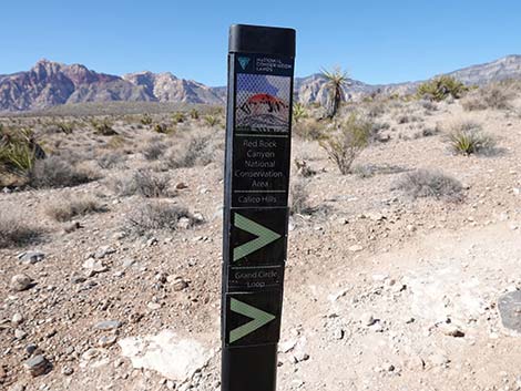 Trail sign: Grand Circle and Calico Hills trails to the right (view N) Trail sign: Grand Circle and Calico Hills trails to the right (view N) |
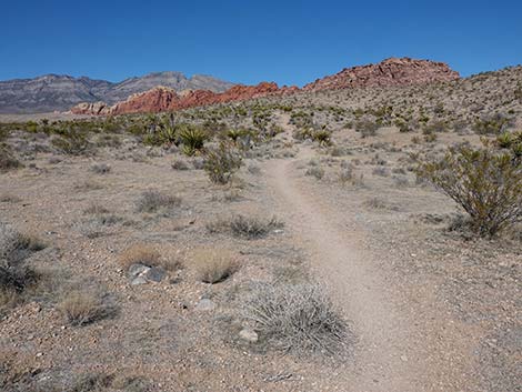
 For a short distance, route follows the Grand Circle Trail (view NW) |
 Nice sponge fossil in limestone at the trail junction |
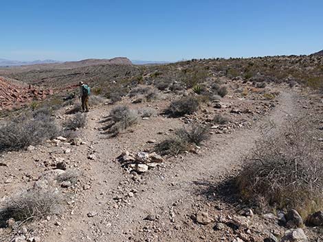
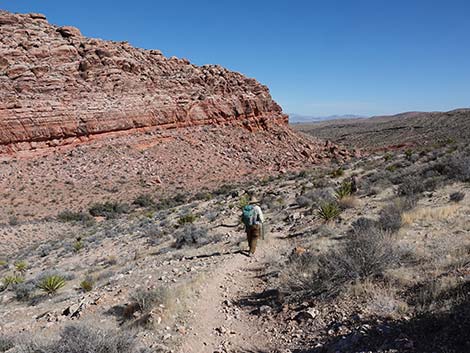
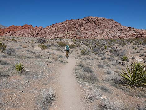 Hiker heading towards the next ridgeline (view NE) |
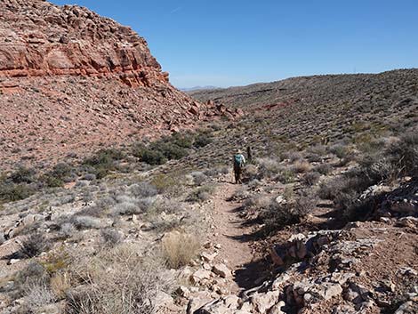
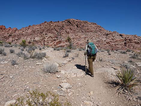 Hiker approaching the next ridgeline (view NE) |
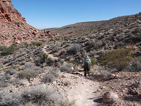
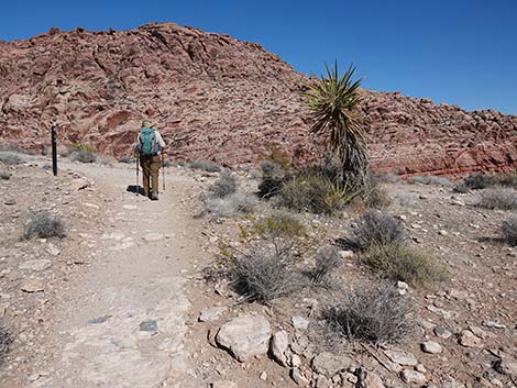 Hiker approaching another trail junction (view NE) |
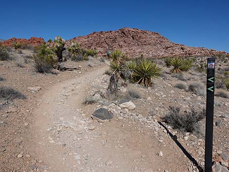
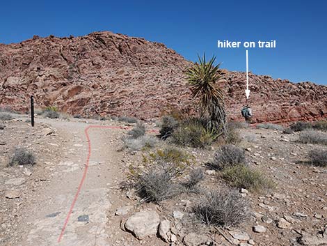 This hike turns right and goes over the ridge (view NE) |
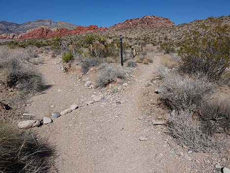
 Trail junction with sign post (view SE) |
 The hike starts down off the other side of the ridge (view SE) |
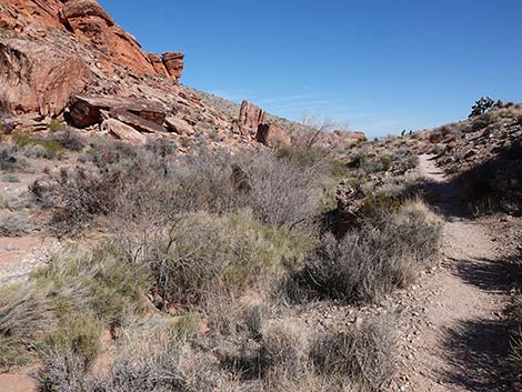
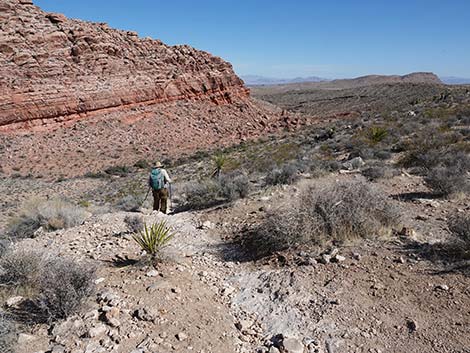 Trail descends, steeply at first, towards Calico Wash (view E) |
 Trail descends, not so steeply, towards Calico Wash (view E) |
 Trail descending towards Calico Wash (view E) |
 Hiker passing rocks with lots of fossils (view E) |
 Hiker descending towards Calico Hills Wash (view E) |
 Hiker descending towards Calico Hills Wash (view E) |
 Trail descending towards Calico Wash (view E) |
 Trail junction: merging onto Calico Overlook Trail (view E) |
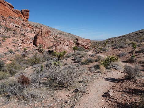
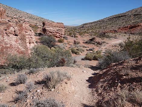
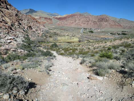
 Trail levels out along Calico Hills Wash (view E) |
 Trail runs above Calico Hills Wash (view E) |
 Trail continues above Calico Hills Wash (view E) |
 |
 |
 Trail continues above Calico Hills Wash (view E) |
 Trail drops steeply into the wash (view E) |
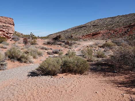 Trail enters Calico Hills Wash (view E) |
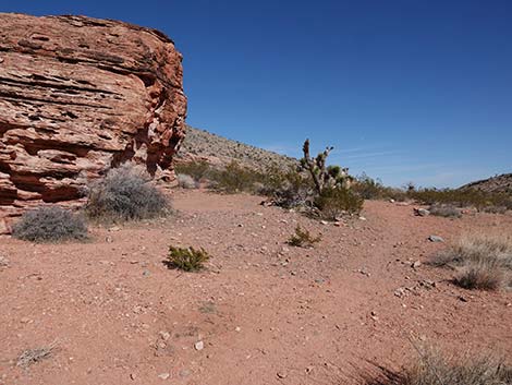 Trail crosses the wash and curves up around enormous boulder |
 The route climbs towards the edge of the cliffs (view NE) |
 The trail connects with the other side of the Calico Overlook Loop |
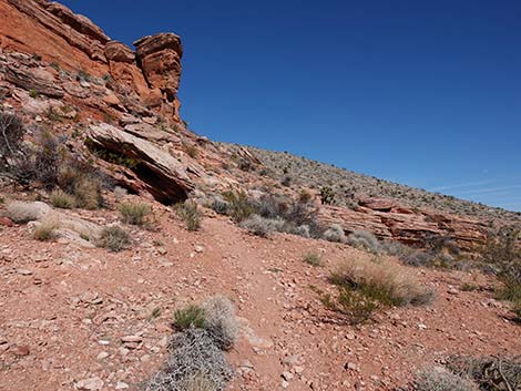
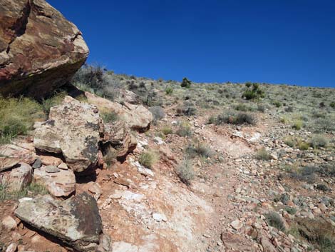
 Dirt trail traverses high across the hillside (view E) |
 Scrappy trail stays up against the cliffs (view NE) |
 The trail eventually angles away from the cliffs (view NE) |
 The trail joins another trail not far below the old road (view NE) |
 The slope finally begins to ease (view NW) |
 The trail bends right to rejoin the old road (view N) |
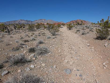
 The old road trail continues up the hillside (view N) |
 Approaching Calico Overlook (view N) |
 Atop the ridge; Calico Overlook (big view N) |
 View from Calico Overlook is a bit better down the trail (view N) |
 Calico Overlook Trail heading back down (view NE) |
 The two forks of the old road rejoin (view NE) |
 The trail runs down the slope with loose gravel (view N) |
 At the bottom of the steep slope, the trail stays right (view N) |
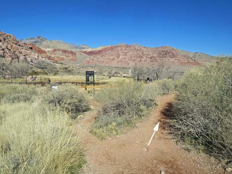 Passing the trail junction to Red Spring Boardwalk (view N) |
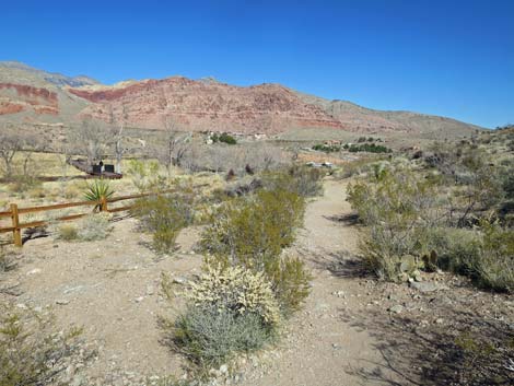 The trail parallels the Red Spring fence (view NE) |
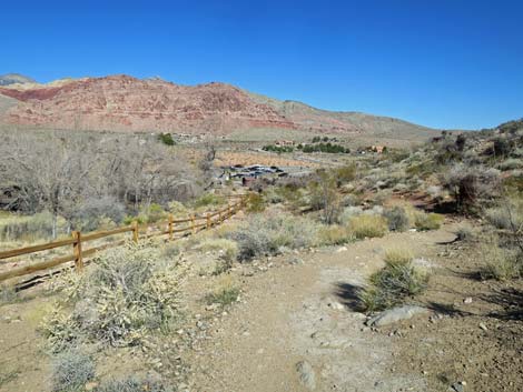 Red Spring Trailhead comes into view (view NE) |
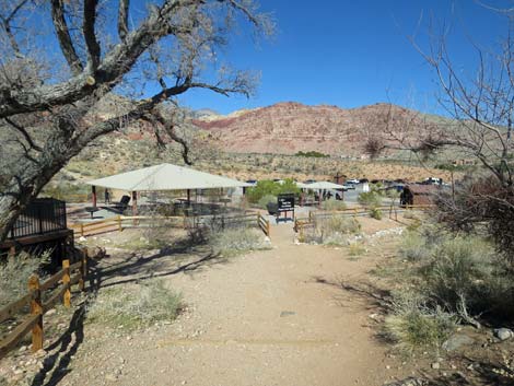 Approaching Red Spring Trailhead (view NE) |
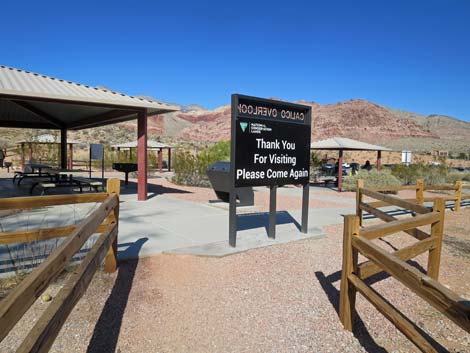 Calico Overlook Trail at Red Spring Trailhead (view NE) |
 More to come ... |
Table 1. Hiking Coordinates Based on GPS Data (NAD27; UTM Zone 11S). Download Hiking GPS waypoints (*.gpx) file.
| Wpt. | Location | Easting | Northing | Elevation (ft) | Point-to-Point Distance (mi) | Cumulative Distance (mi) | Verified |
|---|---|---|---|---|---|---|---|
| 01 | Entrance Station Trailhead | 641874 | 3999648 | 3,710 | 0.00 | 0.00 | GPS |
| 02 | Turn north | 641992 | 3999730 | 3,687 | 0.10 | 0.10 | GPS |
| 03 | Trail to Visitor Center | 641693 | 4000348 | 3,780 | 0.44 | 0.54 | GPS |
| 04 | Trail Junction atop Ridge | 641721 | 4000525 | 3,817 | 0.13 | 0.67 | GPS |
| 05 | Top of Ridge | 642263 | 4000417 | 3,758 | 0.36 | 1.03 | GPS |
| 06 | Old Road | 642390 | 4000495 | 3,672 | 0.10 | 1.13 | GPS |
| 07 | Road Junction | 642321 | 4000595 | 3,601 | 0.09 | 1.22 | GPS |
| 08 | Wash | 642296 | 4000588 | 3,605 | 0.02 | 1.24 | GPS |
| 09 | Trail Junction | 642306 | 4000683 | 3,668 | 0.06 | 1.30 | GPS |
| 10 | Top of Ridge | 642250 | 4000753 | 3,759 | 0.07 | 1.37 | GPS |
| 11 | Gate to Red Spring | 642242 | 4000927 | 3,656 | 0.12 | 1.49 | GPS |
| 12 | Red Spring Trailhead | 642319 | 4001153 | 3,583 | 0.17 | 1.66 | GPS |
| 11 | Gate to Red Spring | 642242 | 4000927 | 3,656 | 0.17 | 1.83 | GPS |
| 10 | Top of Ridge | 642250 | 4000753 | 3,759 | 0.12 | 1.95 | GPS |
| 09 | Trail Junction | 642306 | 4000683 | 3,668 | 0.07 | 2.02 | GPS |
| 13 | Trail Junction | 642237 | 4000591 | 3,621 | 0.08 | 2.10 | GPS |
| 14 | Trail Junction | 642014 | 4000597 | 3,639 | 0.15 | 2.25 | GPS |
| 04 | Trail Junction atop Ridge | 641721 | 4000525 | 3,817 | 0.21 | 2.46 | GPS |
| 03 | Trail to Visitor Center | 641693 | 4000348 | 3,780 | 0.12 | 2.58 | GPS |
| 02 | Turn north | 641992 | 3999730 | 3,687 | 0.44 | 3.02 | GPS |
| 01 | Entrance Station Trailhead | 641874 | 3999648 | 3,710 | 0.10 | 3.12 | GPS |
Happy Hiking! All distances, elevations, and other facts are approximate.
![]() ; Last updated 240330
; Last updated 240330
| Hiking Around Red Rocks | Hiking Around Las Vegas | Glossary | Copyright, Conditions, Disclaimer | Home |