Hiking Around Las Vegas, Red Rock Canyon National Conservation Area
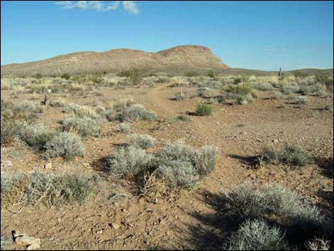
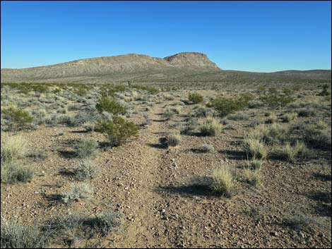
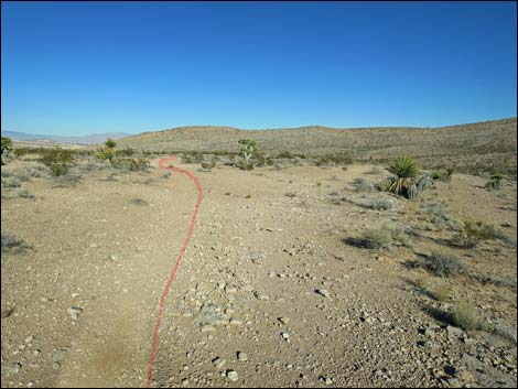
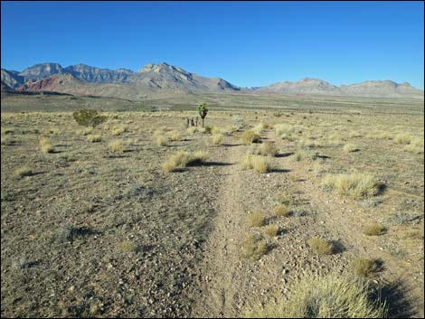
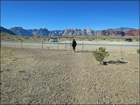
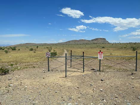 Trailhead -- gate through fence (view E) |
Overview A number of nice use-trails have become established in the Red Rock Canyon Campground Area. The Campground Flats Loop (1.6 miles round trip) runs east from the public trailhead towards Gun Range Hill, then loops back to the trailhead. Except for crossing one shallow gully, this loop is flat and easy with broad expansive views. After hiking this loop, consider hiking one of the other short or long loops in the campground area. This hike is nice because it is close to town and not on the Scenic Loop Drive. This makes it free, a quick little get away from town, and it minimizes time driving to and from the trailhead. Link to map. |
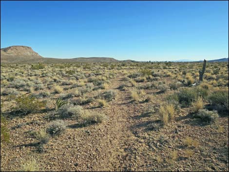
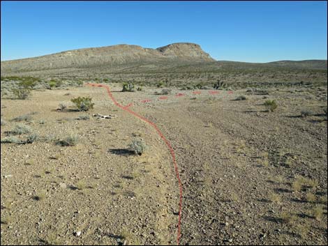
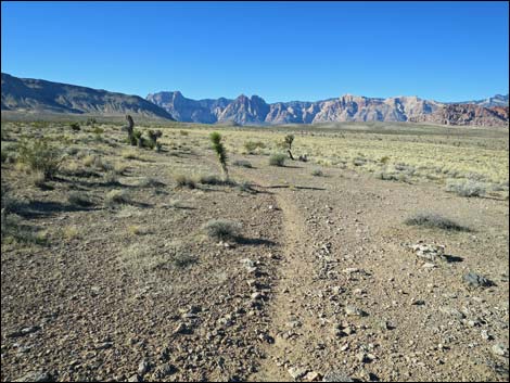
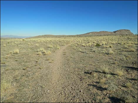 Trail runs across open flats through old burn area (view ENE) |
Watch Out Other than the standard warnings about hiking in the desert, ...this hike is about as safe as hiking in the desert can be, but watch out for dog poop near the trailhead. While hiking, please respect the land and the other people out there, and please try to Leave No Trace of your passage. Also, even though this hike is short and close to civilization, be sure to bring what you need of the 10 Essentials. |
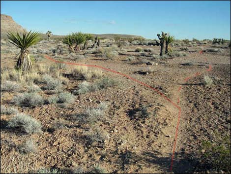
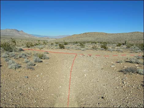
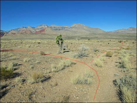
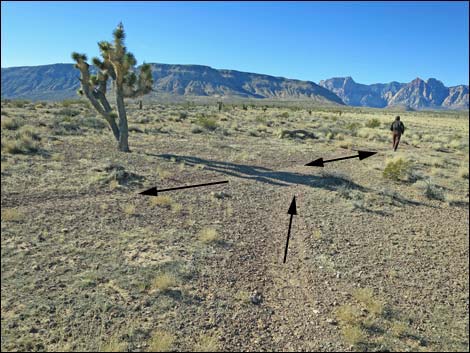
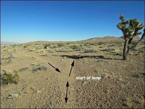 Trail forks: stay right to start the loop (view ENE) |
Getting to the Trailhead This hike is located in Red Rock Canyon National Conservation Area, about 25 minutes from town, but not on the Scenic Loop Road. For non-campers, drive out West Charleston Blvd to the General Access Campground Trailhead, which is located along the Campground Road. Park here; this is the trailhead. For campers, continue into the campground, park at your campsite, then walk out into the desert and pick up the trails. |
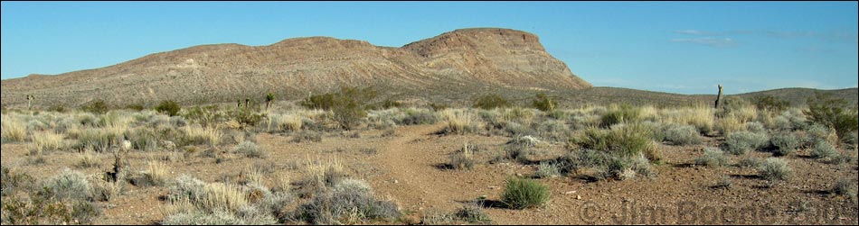
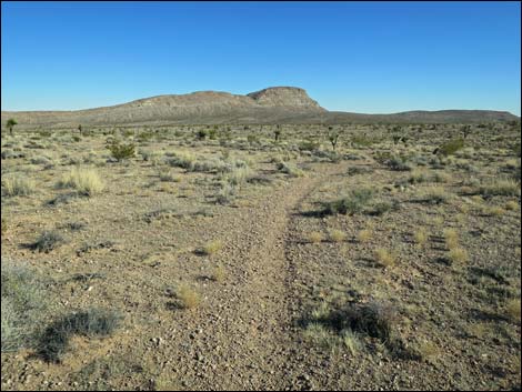
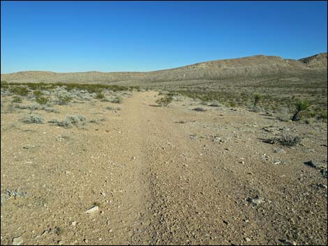
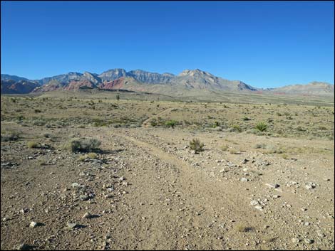
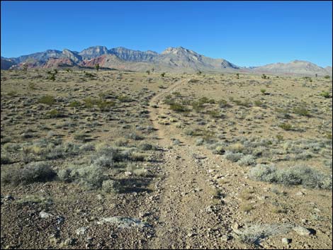
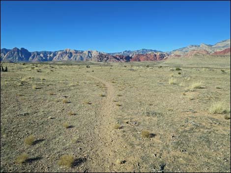
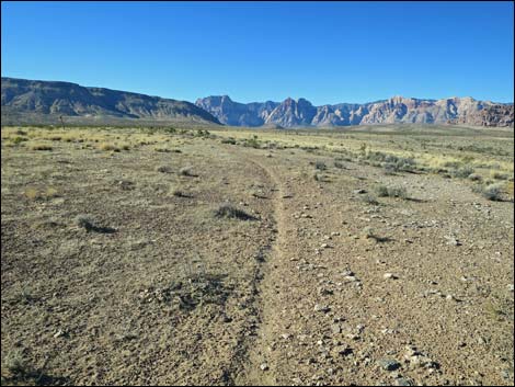
 Trail runs towards summit of Gun Range Ridge (view SE) |
The Hike From the trailhead (Table 1, Wpt. 17), the trail passes through a gate in the roadway fence and heads east across the desert. Initially the trail runs through an old burn area with little shrubby vegetation. In the burn area, the vegetation is sparse, but it is coming back. Common species here include big galleta grass, common Mediterranean grass (a weed), tumbleweed (another weed), and five-needle prickly leaf, a native species with little yellow flowers that I have growing in my yard. Unfortunately, inconsiderate dog owners let their dogs poop on the trail along here, so watch your step as this stuff tends to mummify and stay around for a long time. Past the burn area, the trail approaches the first Joshua trees. Adjacent to the first Joshua tree almost close enough to touch from the trail, the trail forks (Wpt. 18) and begins the loop. Being a loop, the trail can be walked in either direction, but for today, let's take the right fork. |
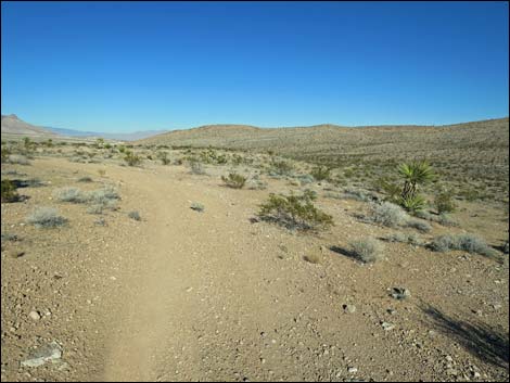
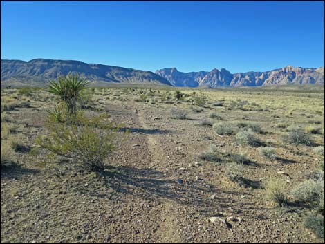
 Trail runs across open flats through unburned area (view SE) |
From the fork (Wpt. 18), the trail bends southeast and runs out to a second fork (Wpt. 19). Either fork works, but the more heavily used trail takes the left fork. With changing levels of use, the right fork can be hard to see, but hikers can stay right and head more to the south until intersecting an old road -- and then turn left. In the unburned area, the vegetation is diverse, but typical Mojave Desert Scrub habitat type with lots of creosote bush and white bursage, plus Nevada ephedra, spiny menodora, desert globemallow, littleleaf ratany, and galleta grass. Also watch for beavertail cactus, matted cholla, pencil cholla, and silver cholla. Taking either fork, the trail runs out to an old road (Wpt. 21) and turns left. The trail then follows the old road northeast, staying left when the road forks until hitting an old cross-road (Wpt. 22) where the loop again turns left. |
 Trail runs towards summit of Gun Range Ridge (view SE) |
All along here, the old road has been running along the edge of a low caliche cliff. Atop the edge, the soil is generally shallow, and the vegetation is somewhat different. Growing along the edge are lots of indigo bushes, a few pincushion cactus, and lots of cryptobiotic crust. Turning to the left and heading northwest on the cross-road, the trail follows a dirt road across the flats. The trail runs down through a broad, shallow gully, the only hill to climb on the route (if you can call it a hill), and then up onto another flats area. Continuing northwest, the trail departs the old road by a lone Joshua tree (Wpt. 23). For hikers who miss the turn, the old road eventually comes to the edge of Red Rock Wash, at which point you can look down on Charleston Blvd. Turn left and walk across the desert, heading west above the wash until rejoining the regular trail. Departing the lone Joshua tree (Wpt. 23), the trail runs southwest across the desert flats. The trail eventually closes the loop by the first Joshua trees (Wpt. 18), and continues west to the trailhead (Wpt. 17). |
 Trail stays left (the right fork is little used) (view SE) |
 Trail runs towards summit of Gun Range Ridge (view SE) |
 Trail stays left onto old road (view E) Trail stays left onto old road (view E) |
 Trail follows old road (view NE) |
 Trail follows old road (view NE) |
 Trail stays left at what appears to be a fork (view NE) |
 Old road forks; trail turns left to begin looping back (view NE) |
 Trail follows old road (view NW) |
 Trail follows old road through shallow gully (view NW) |
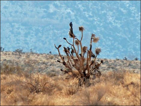 Peregrine Falcon sitting in the top of a Joshua Tree (view W) |
 Trail follows old road through shallow gully (view NW) |
 Trail turns left off old road at short Joshua Tree (view N) |
 Trail runs across open flats through old burn area (view SW) |
 Trail runs across open flats through old burn area (view SW) |
 Trail runs across open flats through unburned area (view SW) |
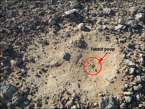
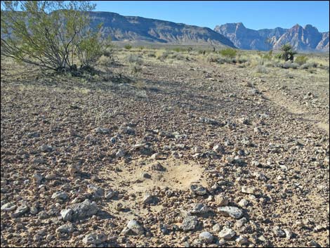 "Bunny bed" (Black-tailed Jackrabbit) on desert pavement (view SE) |
 "Bunny bed" (Black-tailed Jackrabbit) (view SE) |
 Trail runs across open flats through unburned area (view SW) |
 Closing the loop; hiker returning towards trailhead (view SW) |
 Hiker returning to the trailhead (view W) |
Table 1. Hiking Coordinates Based on GPS Data (NAD27; UTM Zone 11S). Download Hiking GPS Waypoints (*.gpx) file.
| Wpt. | Location | UTM Easting | UTM Northing | Elevation (ft) | Point-to-Point Distance (mi) | Cumulative Distance (mi) | Verified |
|---|---|---|---|---|---|---|---|
| 17 | Trailhead | 644738 | 4000437 | 3,445 | 0.00 | 0.00 | GPS |
| 18 | Fork in Trail by Joshua Tree | 645104 | 4000504 | 3,437 | 0.24 | 0.24 | GPS |
| 19 | Fork in Trail | 645300 | 4000383 | 3,429 | 0.14 | 0.38 | GPS |
| 21 | Fork in Old Road | 645514 | 4000349 | 3,413 | 0.14 | 0.52 | GPS |
| 22 | Fork in Old Road | 645794 | 4000592 | 3,400 | 0.25 | 0.77 | GPS |
| 23 | Trail Departs Old Road | 645652 | 4000827 | 3,409 | 0.18 | 0.95 | GPS |
| 18 | Fork in Trail by Joshua Tree | 645104 | 4000504 | 3,437 | 0.42 | 1.37 | GPS |
| 17 | Trailhead | 644738 | 4000437 | 3,445 | 0.24 | 1.61 | GPS |
Happy Hiking! All distances, elevations, and other facts are approximate.
![]() ; Last updated 240330
; Last updated 240330
| Hiking Around Red Rocks | Hiking Around Las Vegas | Glossary | Copyright, Conditions, Disclaimer | Home |