Hiking Around Las Vegas, Red Rock Canyon National Conservation Area
 Cowboy Trail Rides Trailhead Parking (view E) |
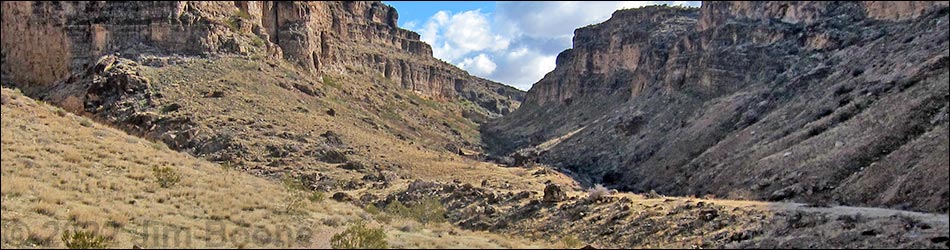
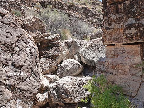
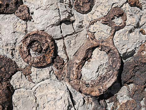
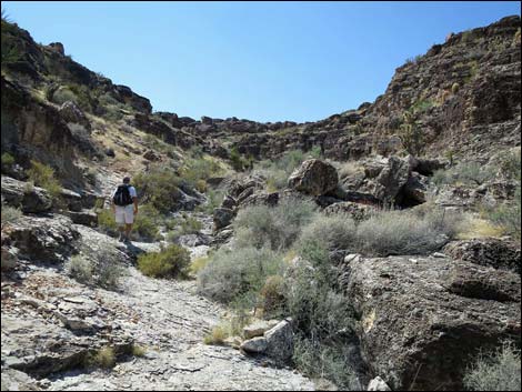
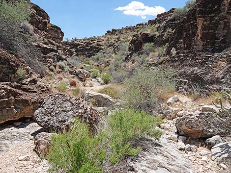
Overview The route up Fossil Canyon (sometimes referred to as Echo Canyon) makes for a nice hike on the northwest side of Blue Diamond Hill where boulders in the wash and the walls of the canyon are full of interesting fossils such as crinoids, gastropods, sponges, and corals. The route runs up Fossil Canyon (sometimes called Echo Canyon) to near the head of the canyon, about 1.2 miles out. At that point, hikers will find an easy exit from the canyon to the ridge above where they can connect with one of the other Blue Diamond Hill Bike Trails. Using the Fossil Trail or the Rock Garden Trail to make a loop provides a nice 2.5-mile day in the desert. Link to map. |
 Cowboy Trail Rides Trailhead Parking (view E) |
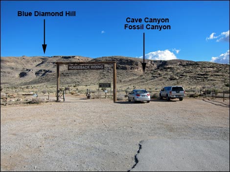
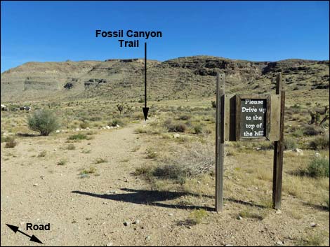
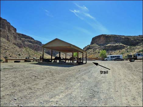
Watch Out Other than the standard warnings about hiking in the desert, ...this is a fairly safe hike, but be careful if you climb around on the boulders or cliffs looking at fossils. Most of the canyon is Class-2, but there is one 8-ft pour-over that requires Class-3 scrambling techniques. While hiking, please respect the land and the other people out there, and try to Leave No Trace of your passage. Also, even though this hike is short, be sure to bring what you need of the 10 Essentials. Getting to the Trailhead This hike is located in Red Rock Canyon National Conservation Area, about 30 minutes from town, but not on the Scenic Loop Road. Drive out West Charleston Blvd, past the entrance to the Scenic Loop Drive, to the Cowboy Trail Rides Trailhead on the left. Park here; this is the trailhead. |
 Inside the gate, the road plus three trail options (view SE) |
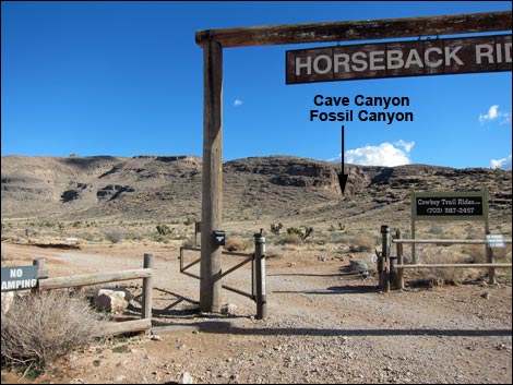
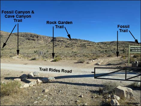
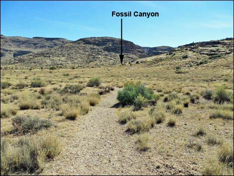
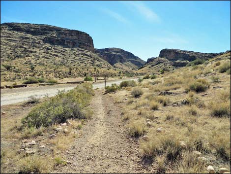
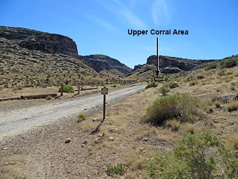
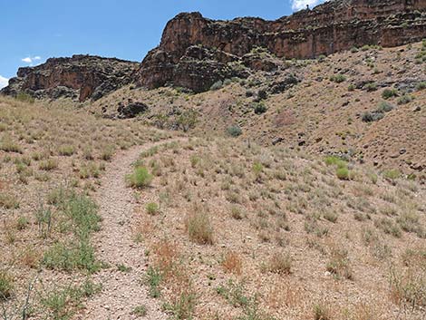
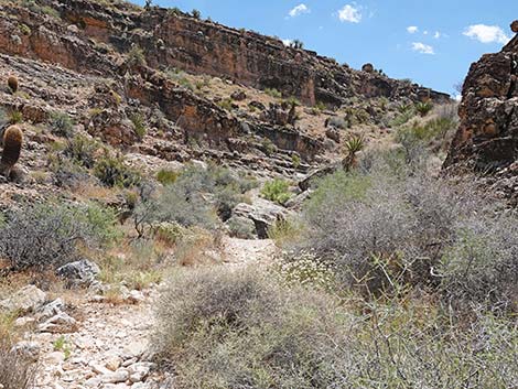
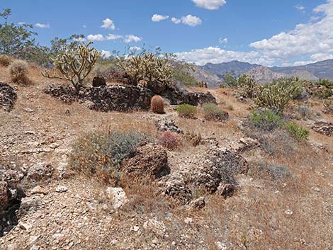
The Hike From the trailhead (Table 1, Waypoint 01), the route starts by running under the ranch gate (the "Horseback Rides" sign). From the dirt road immediately beyond the ranch gate, three trails fork off to the right. The first trail (parallel to the parking lot fence is the Fossil Trail. The second is Fossil Ridge (Rock Garden) Trail, and the third is Fossil Canyon Trail. The Fossil Canyon trail runs east-southeast staying on the flats below the toe of Fossil Ridge. The trail runs through an area thickly covered with bunchgrass (Big Galleta Grass) and a few Joshua Trees, but few shrubs. The trail eventually joins the dirt road that leads to the upper horse corrals. Following the dirt road, the route passes the corrals. Please don't disturb the cowboys or their animals (at least not too much). Just past the corrals, the road ends at a parking lot. At the far-left corner of the parking area (Wpt. 02), a wide trail drops into Fossil Canyon Wash heading upstream (a horse trail leads downstream). |
 Fossil Canyon Trail takes the middle road (view SE) |
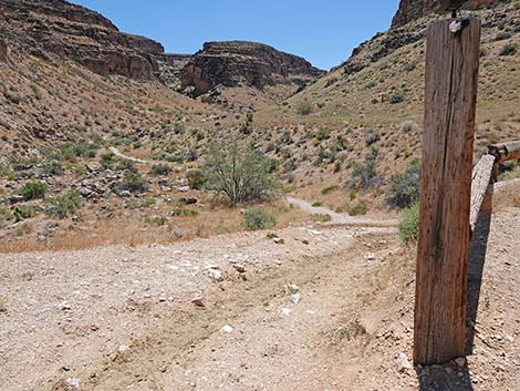
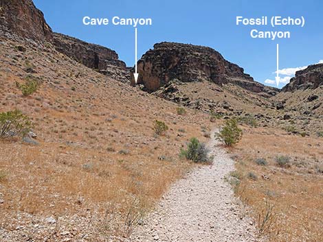
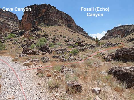
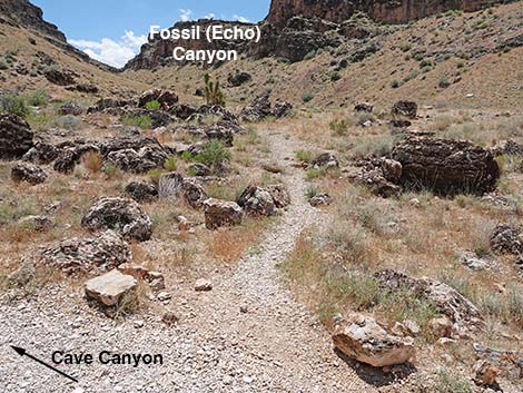
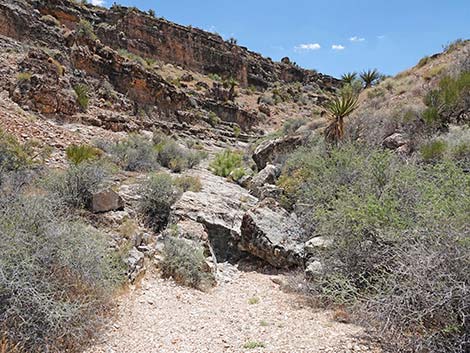
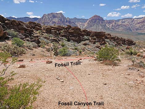
The wide trail eventually crosses to the other side of Fossil Canyon Wash, runs along the edge of the wash for a bit, and eventually climbs out onto the bench above the wash to the left. On the bench, watch for a limestone boulder on the right. The north side of the boulder holds some very nice sponge fossils that look like they might be sitting on a reef in the modern Caribbean Sea. On the bench, the route follows the wide trail south for about 100 yards towards where the canyon splits. When an old road joins the trail from the right, the wide trail curves left as if to head up into the left fork. The left fork is Cave Canyon, and as the name implies, there are two limestone caves (and a few fossils) up there. The caves are worth investigating, but climbing into them is a bit of a challenge. About 30 yards beyond the curve to the left, a narrow use-trail (Wpt. 03) forks off to the right and runs south into Fossil Canyon. There is no sign, but the junction is well defined from the passage of many boots. |
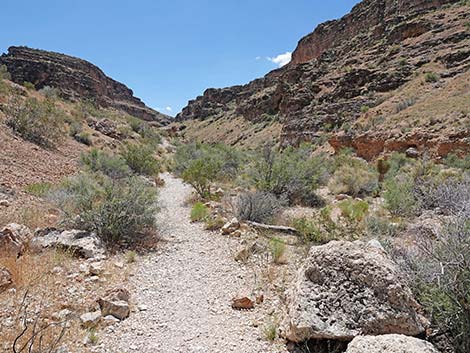
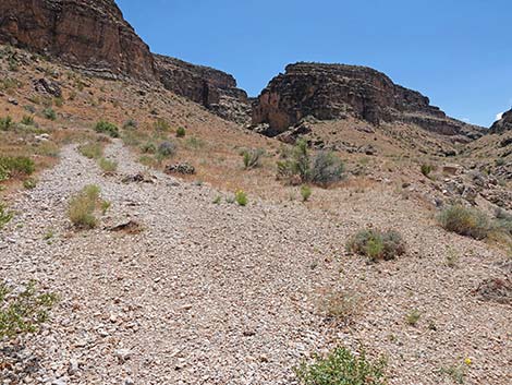
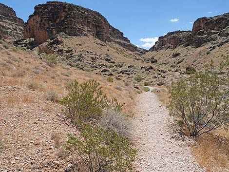
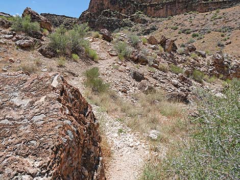
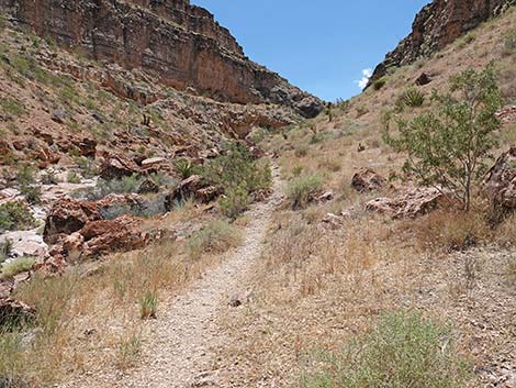
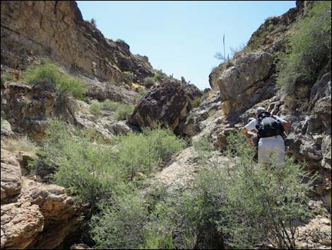
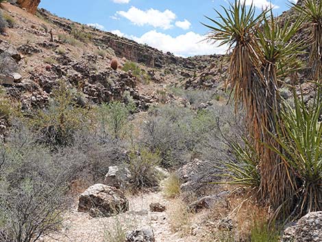
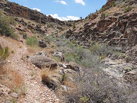
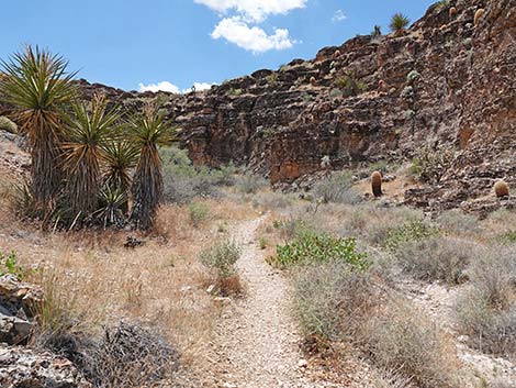
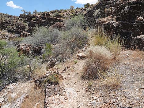
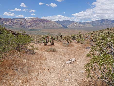
 Trail runs across desert flats towards Fossil Canyon (view SE) |
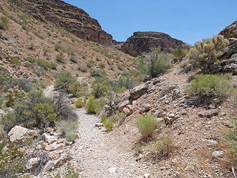
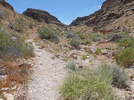
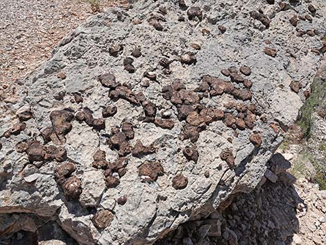
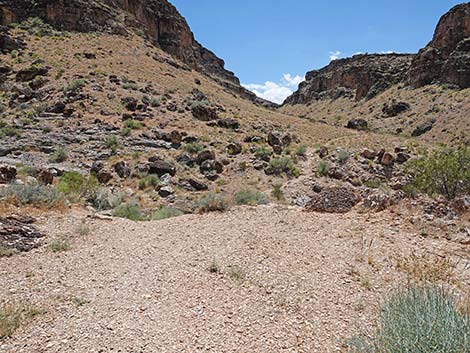
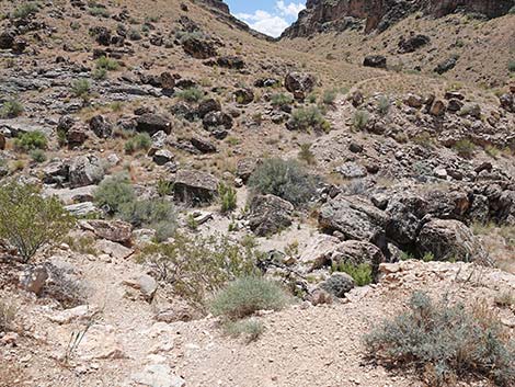
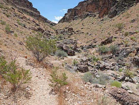
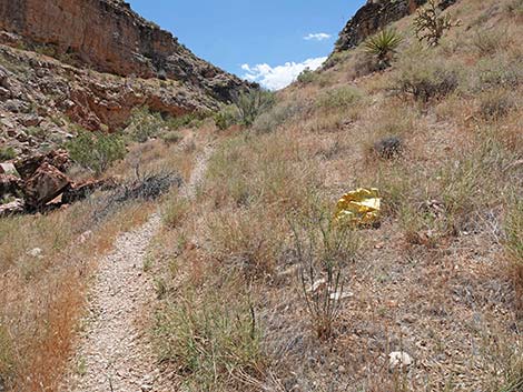
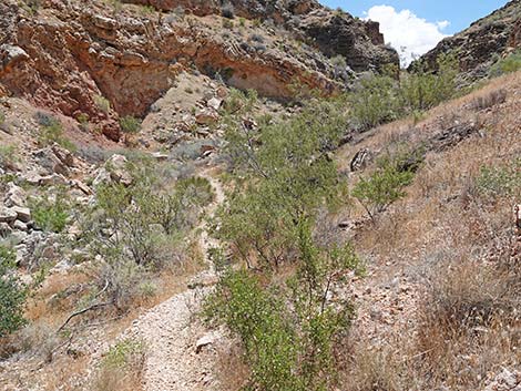
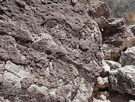
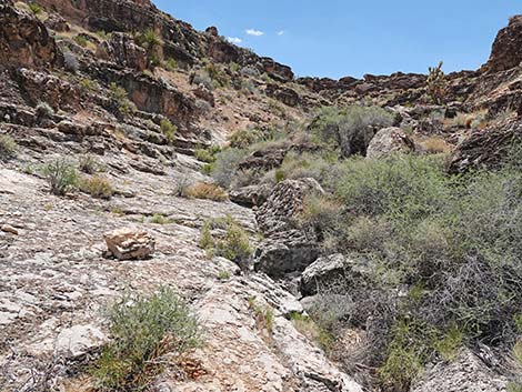
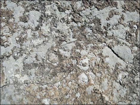
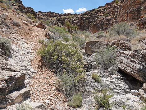
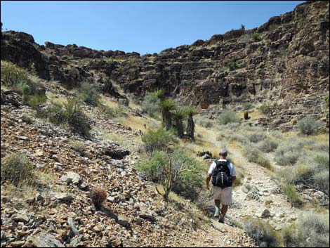
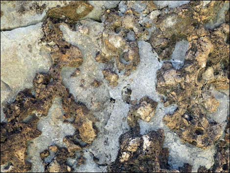
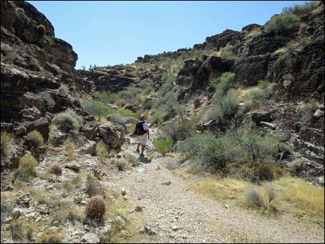
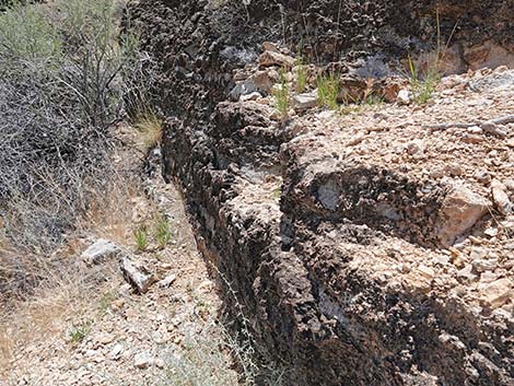
Starting up Fossil Canyon, the route follows a faint use-trail heading south. The use-trail drops into and crosses Cave Canyon Wash, climbs out the other side, then runs along the east side of Fossil Canyon Wash. This hillside burned a few years ago -- notice the dead stems of burned Creosote Bush and the sprouts of other shrubs. A bit farther up the canyon, watch for red stains on the gray limestone rock -- firefighters dropped a load of fire retardant (affectionately called "pink snot") from a plane here to stop the fire from burning farther up the canyon. The use-trail crosses Fossil Canyon Wash to run along the hillside on the west edge of the wash. Along this hillside, notice that the boulders along the trail are full of fossils. All of the brown-colored "stuff" is fossiliferous, and in some places, fossil sponges are obvious to see. Look more carefully for shells and corals. The use-trail eventually drops into the wash and follows the dry streambed upstream. In the wash, the route passes three low pour-overs, but always stays in the bottom of the canyon. Watch for fossils (especially sponges) in the limestone bedrock of the wash. |
 Trail approaching Cowboy Trail Rides Road (view SE) |
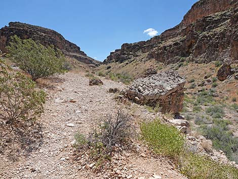
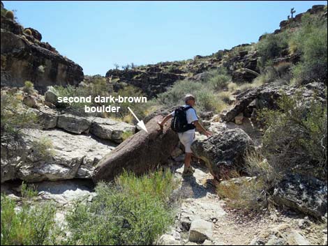
Past the third (highest pour-over), the canyon walls lie back a bit and the west wall gradually becomes lower (all of Blue Diamond Hill makes the east side of the canyon, although technically it is First Finger). Near the top of the canyon, the west wall becomes low and is capped by what appears to be oddly rounded, dark brown boulders, but which are Lower-Triassic-age Timpoweap Conglomerate rock. Some of the boulders fell into the bottom of the canyon, first one, then two more near each other. At the second boulder (Wpt. 04), a use-trail climbs the wall of the canyon on the right (west). From below, it looks far worse than it really is, and this is a good (Class-2) place to get out of the canyon and up to the Fossil Trail (Wpt. 05) which runs on the lip of the canyon. Hikers can stay in the wash and continue farther up Fossil Canyon, and the farther hikers go up the canyon, the easier is the scramble up the west canyon wall to the Fossil Trail. Eventually, the Fossil Trail even crosses the wash. |
 Trail at Cowboy Trail Rides Road (view SE) |
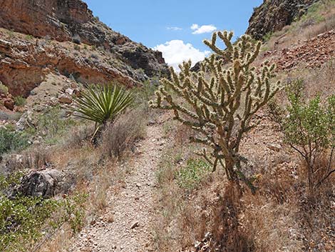
On the Fossil Trail, hikers can head north (downhill) about 70 yards to a trail junction (Wpt. 06). The Fossil Trail bends to the left and heads northwest down the hillside and back to the trailhead (Wpt. 01) while the Rock Garden Trail continues atop the ridgeline back to the trailhead (Wpt. 01). To my eye, the ridgeline is more scenic, plus it harbors vast number of fossils (mostly sponges, but also shells, corals, and crinoids) and most of the cactus species that occur in southern Nevada can be seen here. In 2005, a fire burned several hundred acres in the area between the Fossil Trail and the Rock Garden Trail. Firefighters used the trails as firelines, so for a few hundred yards the hillside between the trail is burned, while outside the trail is unburned. In places, the contrast is striking, and it is interesting to see the plants that survived. It will also be interesting to watch the vegetation recover over the years. Fossil Ridge is an amazing place for cactus. There are lots of California barrel cactus and buckhorn cholla, and there are nice examples of silver cholla, cottontop cactus, beavertail pricklypear, and pincushion along the trail. Higher on the Fossil Trail, there are nice examples of old man pricklypear. |
 Trail passes left behind shaded corral (view S) |
 Beyond corrals, trail drops into wash (view SE) |
 Trail runs up along wash (view SE) |
 Crossing the wash (view SE) |
 Hiker across the wash (view SE) |
 Trail continues along east side of wash (view SE) |
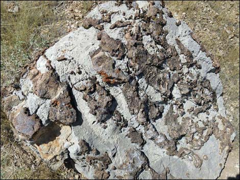
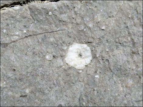
 Boulder with interesting fossil sponges (view SE) |
 Fossil sponges along the trail |
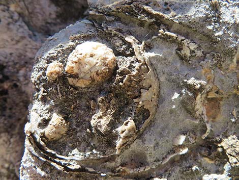 Sponge fossil along the trail |
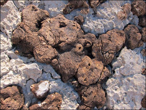 Sponge fossils along the trail |
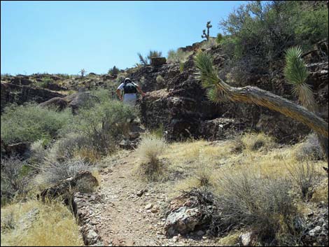
 Trail turns up the hillside (view SE) |
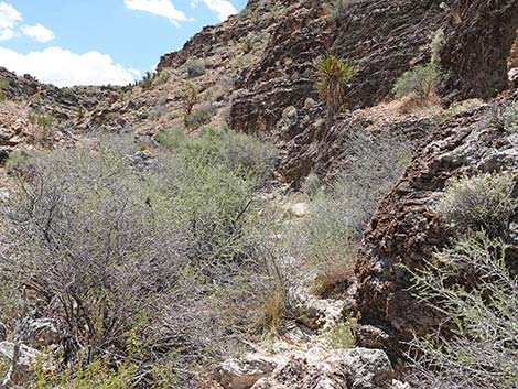
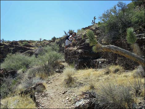
 Trail runs across burned area (view SE) |
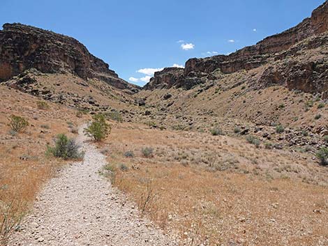
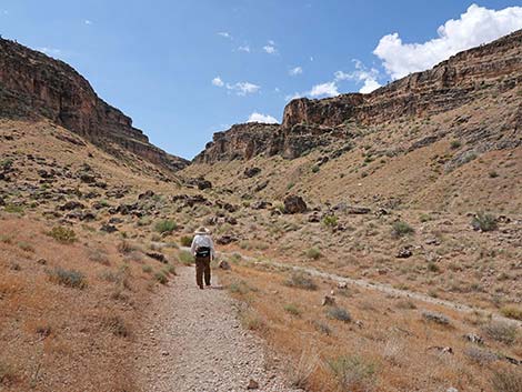
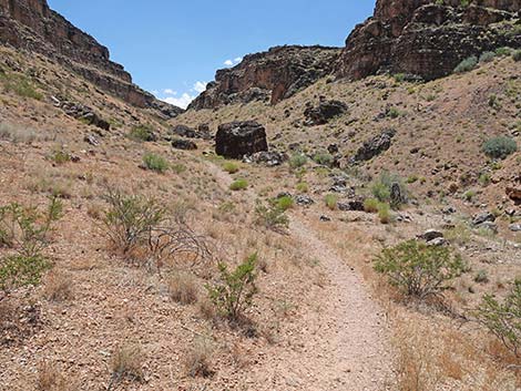
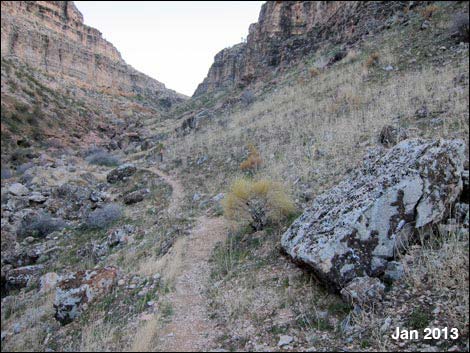
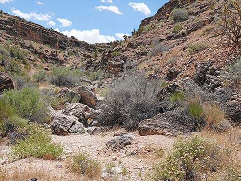
 Cave and Fossil (aka Echo) canyon ahead (view SE) |
 Trail drops back towards the wash (view S) |
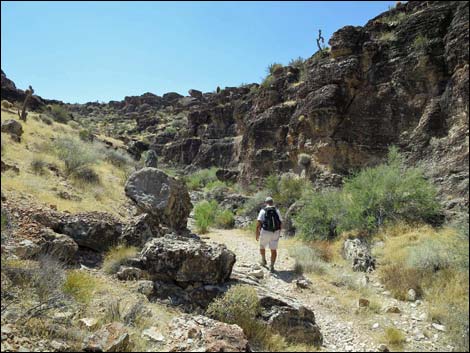
 Hiker on trail (view S) |
 Trail enters a wash and heads uphill (view S) |
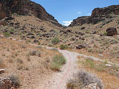
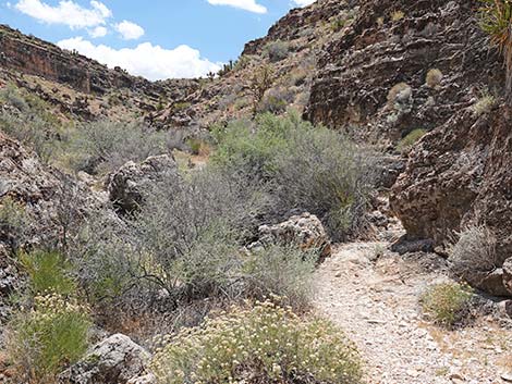
 Trail continues up the wash (view SE) |
 Approaching Cave Canyon - Fossil Canyon trail junction (view SE) |
 Cave Canyon - Fossil Canyon trail junction (view SE) |
 Trail runs up to the edge of Cave Canyon Wash (view S) |
 Use-trail dips steeply through Cave Canyon Wash (view S) |
 Trail climbs out of Cave Canyon Wash (view S) |
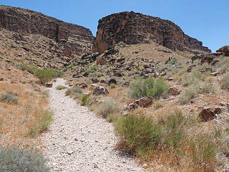
 Trail continues through burned area (view SE) |
 Fossil Canyon trail on east side of Fossil Canyon Wash (view S) |
 Trail drops into and crosses Fossil Canyon Wash (view SE) |
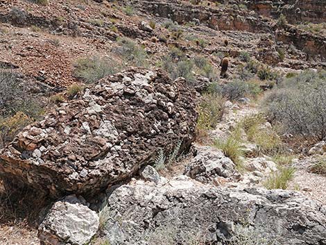
 Another limestone boulder with fossils |
 Trail runs up west side of Fossil Canyon Wash (view S) |
 Another limestone boulder with fossils |
 Trail approaching fossil encrusted boulder with no shrubs (view S) |
 Hiker by healthy Mormon Tea and fossil encrusted boulder before fire |
 Sad Mormon Tea and fossil encrusted boulder after the fire |
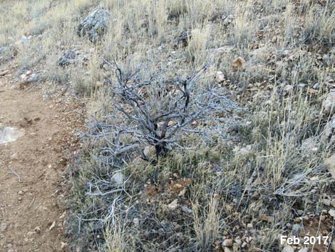 Dead Mormon Tea at fossil encrusted boulder after the fire |
 More fossil encrusted boulders (view S) |
 Trail runs up west side of Fossil Canyon Wash (view S) |
 Mylar balloons trash the desert and injure wildlife (view S) |
 Buckhorn cholla pressing on the trail (view S) |
 Trail exits the burn zone (view S) |
 Back in typical Mojave Desert Scrub vegetation |
 Trail drops into Fossil Canyon Wash (view SE) |
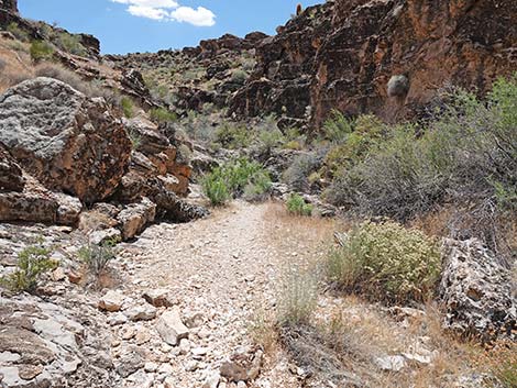
 Trail runs on rocky limestone slabs in the wash (view S) |
 Trail runs on rocky limestone slabs in the wash (view S) |
 Hiker on rocky limestone slab above wash bottom |
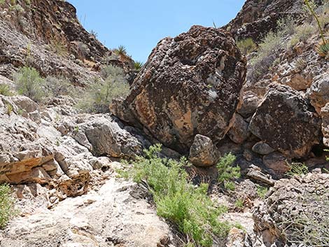 Route passes large boulder on the left (view S) |
 Hiker passing left of large boulder (view S) |
 Approaching a pour-over in the wash (view S) |
 Somewhat more interesting low pour-over (view SE) |
 Lots of hand and foot holds (view W) |
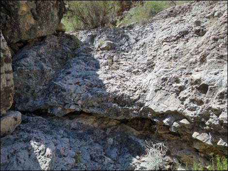
 Highest and last pour-over along the route |
 Hiker climbing highest and last pour-over along the route |
 Hiker above last pour-over (view S) |
 Boulder on left side of pour-over with fossilized algal mats |
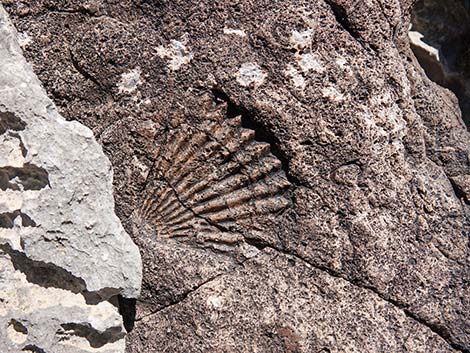 Look closely for scallop-like shell fossil (view E) |
 Continuing past the boulder on left side of pour-over (view SE) |
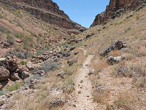
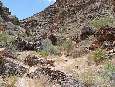
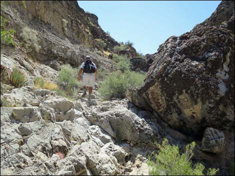
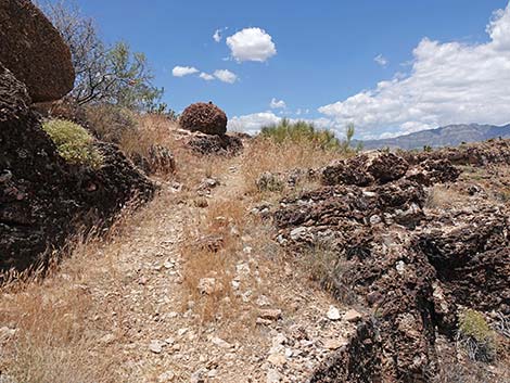
 Trail continues up the canyon (view SE) |
 Trail bushwhacks up the canyon (view SE) |
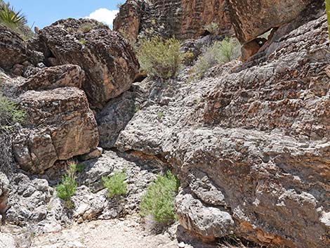
 Trail continues up the canyon (view SE) |
 |
 |
 Approaching limestone boulder with lots of fossils (view SE) |
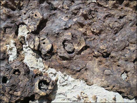
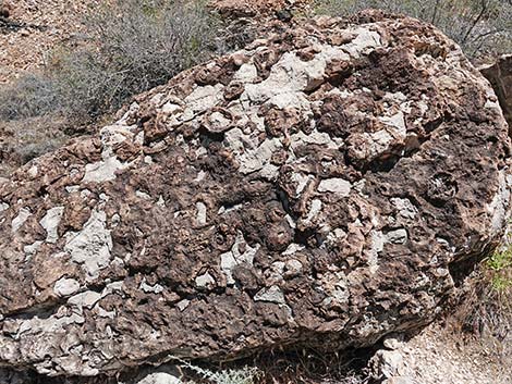 Limestone boulder with lots of fossils (view E) |
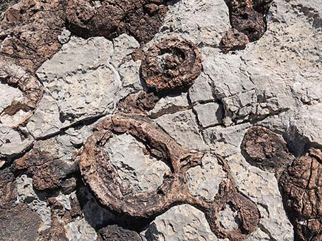 Nice examples of sponge fossils in the limestone boulder |
 Nice examples of sponge fossils in the limestone boulder |
 |
 |
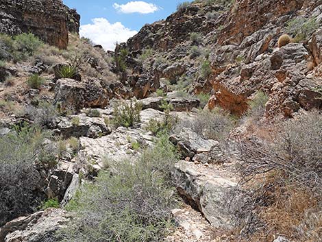
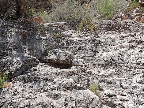
 Trail on bedrock with many fossils (view SE) |
 Bedrock with many fossils |
 Hiker still on bedrock with many fossils (view SE) |
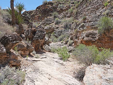
 Trail becomes better defined again (view SE) |
 Continuing up the canyon |
 Trail continues up the canyon (view S) |
 |
 |
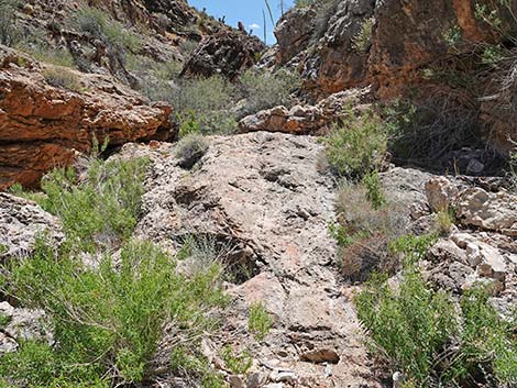
 Another boulder with fossils |
 Crinoid fossil in bedrock |
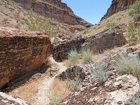
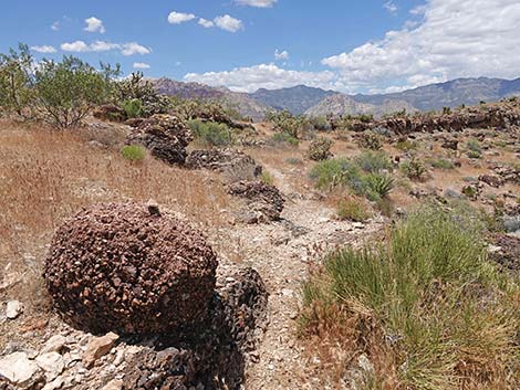
 Canyon walls begin to lay back (view SE) |
 Hiker in sandy canyon (view SE) |
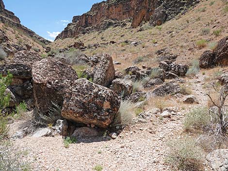
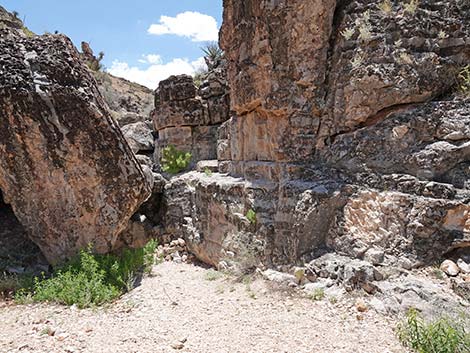
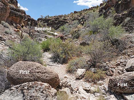 First brown, conglomerate boulders in the wash bottom (view S) |
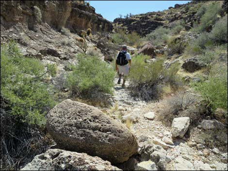 Hiker passing first brown boulder in the wash bottom (view SE) |
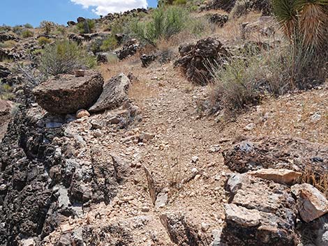
 Hiker beginning to exit the canyon bottom (view SE) |
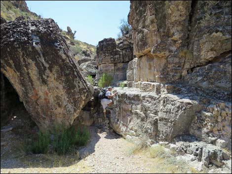
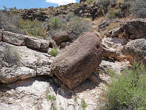 Second brown, conglomerate boulder in the wash bottom (view S) |
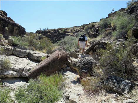 Hiker on trail exiting canyon bottom past second brown boulder |
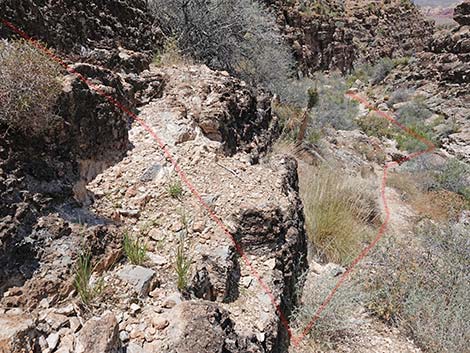
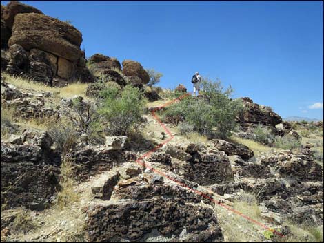
 Trail exiting the canyon bottom (view SW) |
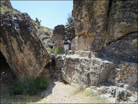
 Hiker at base of the stone stairs (view SW) |
 Stone stairs; trail switchbacks right (view SW) |
 Hiker starting up the stone stairs (view SW) |
 Trail switchbacks at stone stairs (view N) |
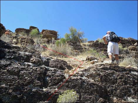 Hiker atop the stone stairs; route cuts left (view W) |
 Trail above the stone stairs (view SW) |
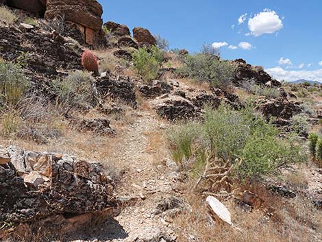 Route zigzags up steep hillside (view NW) |
 Route zig-zags up steep hillside (view NW) |
 Trail approaching the top of the steep hillside (view NW) |
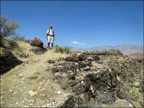 Hiker atop steep hillside (view NW) |
 Trail traverses the hillside (view NW) |
 Trail traverses the hillside (view NW) |
 Fossil Canyon Trail approaching Fossil Trail (view NW) |
 Fossil Canyon Trail merging with Fossil Trail (view NW) Fossil Canyon Trail merging with Fossil Trail (view NW) |
Table 1. Hiking Coordinates Based on GPS Data (NAD27; UTM Zone 11S). Download Hiking GPS Waypoints (*.gpx) file.
| Wpt. | Location | UTM Easting | UTM Northing | Elevation (ft) | Point-to-Point Distance (mi) | Cumulative Distance (mi) | Verified |
|---|---|---|---|---|---|---|---|
| 01 | Trailhead | 641052 | 3998352 | 3,594 | 0.00 | 0.00 | GPS |
| 02 | End of Dirt Road | 641403 | 3998050 | 3,628 | 0.33 | 0.33 | GPS |
| 03 | Canyon Splits | 641676 | 3997821 | 3,681 | 0.24 | 0.57 | GPS |
| 04 | Exit the Canyon | 641957 | 3997065 | 3,923 | 0.57 | 1.14 | GPS |
| 05 | Fossil Trail | 641933 | 3997048 | 4,102 | 0.03 | 1.17 | GPS |
Happy Hiking! All distances, elevations, and other facts are approximate.
![]() ; Last updated 240329
; Last updated 240329
| Hiking Around Red Rocks | Hiking Around Las Vegas | Glossary | Copyright, Conditions, Disclaimer | Home |