Hiking Around Las Vegas, Mojave National Preserve
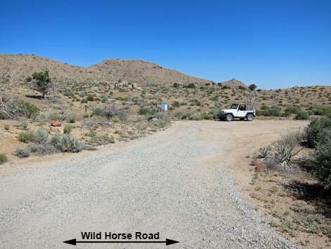
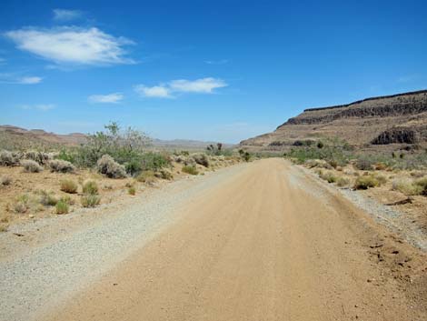
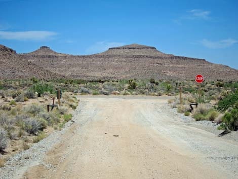
 Black Canyon Rd at Wild Horse Rd (view S) |
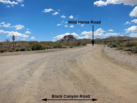
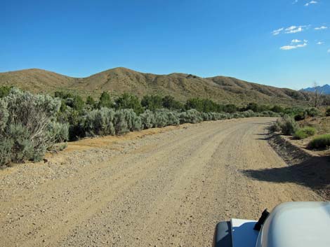
Overview Wild Horse Road is a graded dirt road that forms a 11.5-mile semi-circle off the west side of Black Canyon Road. That is, the road runs west from the north end of Black Canyon Road, runs south some 6 miles, then cuts back east to reconnect with Black Canyon Road just south of Hole in the Wall. This road provides access to Mid Hills Campground, the Mid Hills Trailhead, several hikes, several primitive campsites, and several dirt-road driving adventures. Link to map. |
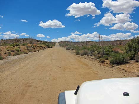
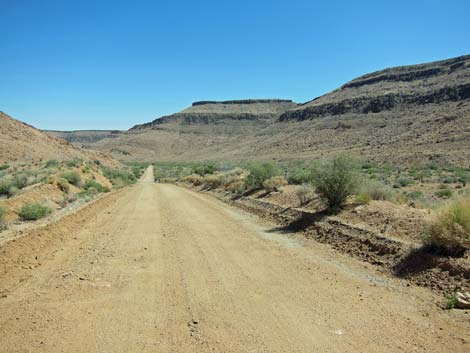
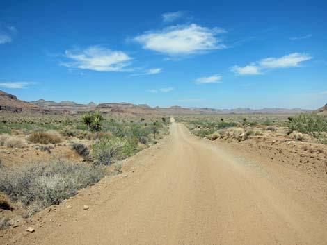
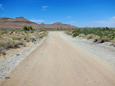
 Wild Horse Rd (view W from Black Canyon Rd) Wild Horse Rd (view W from Black Canyon Rd) |
Watch Out Other than the standard warnings about being in the desert, ... the road generally is well maintained and passable in sedans, but the road is subject to washouts. In particular, in the section from about 8-1/2 to 9-1/2 miles out, the road runs in a sandy wash. The Preserve tries to maintain this section, bit it can become a bit soft with sandy humps in the center of the road that could drag on sedans. Going downhill in such a situation (north to south) is better than trying to go uphill. While out in the desert, please respect the land and the other people out there, and try to Leave No Trace of your passage. Also, the area is remote, so be sure to bring the 10 Essentials. |
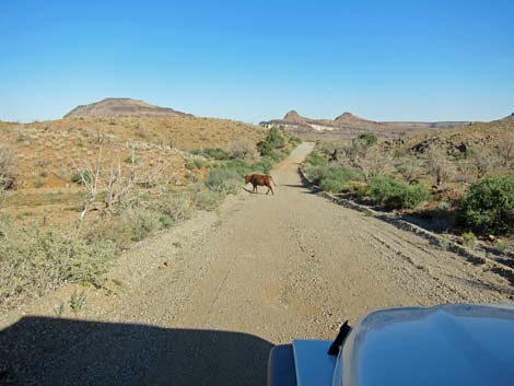
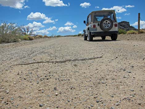 Watch out for little people playing in the road! |
Getting to the Road This road is located in Mojave National Preserve, about 2 hours south of Las Vegas. From town, drive south on I-15 into California to Nipton Road. Turn left onto Nipton Road and drive east 3.6 miles. Turn right onto Ivanpah Road and drive south 3.2 miles. Turn right onto Morningstar Mine Road and drive southwest 15 miles to Cima, where the road crosses railroad tracks and continues as the Kelso-Cima Road. Continue 4.6 miles on Kelso-Cima Road. Turn left onto Cedar Canyon Road and drive east 6.0 miles. Turn right onto Black Canyon Road and drive south 2.8 miles to Wild Horse Road, on the right. |
 |
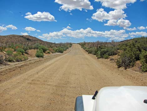
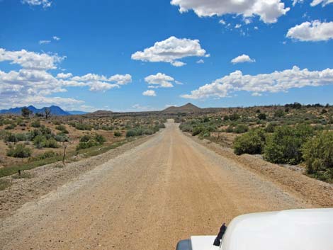
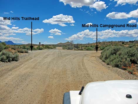
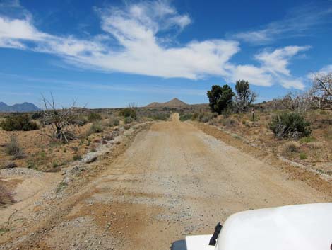
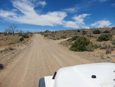
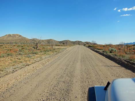
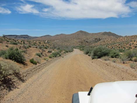
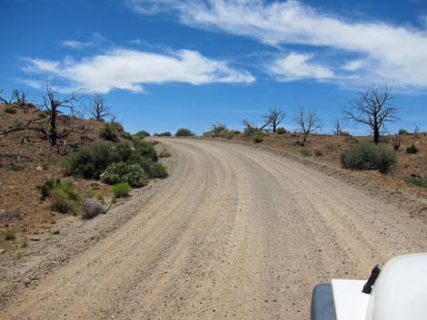
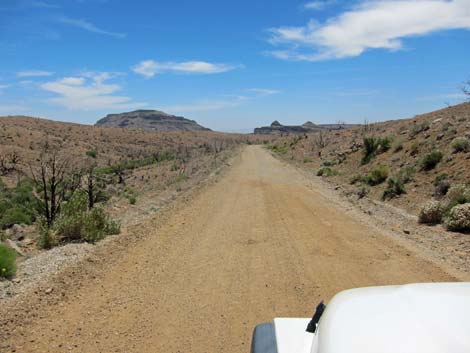
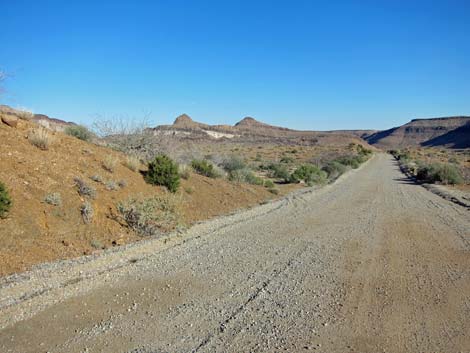
The Road From Black Canyon Road (Table 1, Site 0834), Wild Horse Road runs southwest across the open desert climbing towards a low gap in the Mid Hills. This area burned in the 2005 Hackberry Fire, but the vegetation is slowly recovering. After crossing over the crest of the Mid Hills, the road descends gradually to a 4-way intersection (Site 0835) at about 2.0 miles out. To the right, an access road runs north into Mid Hills Campground. To the left, an access road runs a few yards to the Mid Hills Trailhead where the Mid Hill Loop Trail and the Mid Hills to Hole-in-the-Wall Trail head off to the south. |
 |
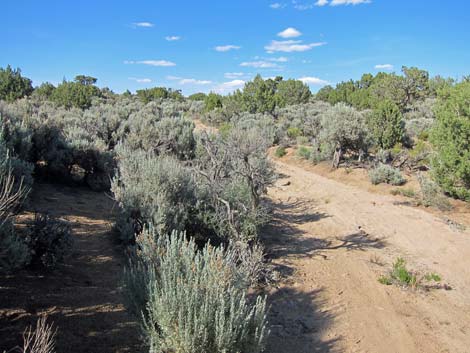
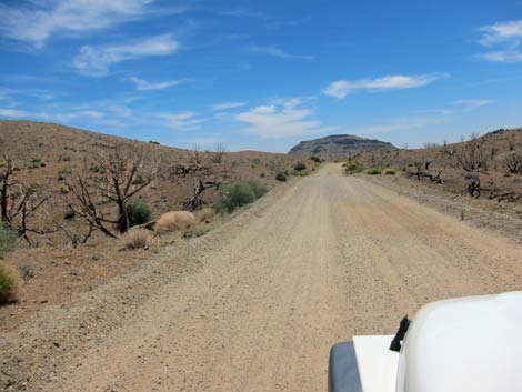
Continuing southwest, Wild Horse Road runs across open desert where a few Singleleaf Pinyon Pine, Utah Junipers, and California Juniper survived the fire. As the road begins to curve south, a dirt side road (with a broad, triangle intersection) runs north into a stand of trees that survived the fire. Tucked into the trees are several primitive campsites (Eagle Rocks primitive camp area). There is also one campsite on a burned-off knoll overlooking Kelso Valley to the west and the Eagle Rocks to the north. A carefully driven sedan probably can get into this area, but 2WD-HC vehicles are needed to get all the way around the loop and up onto the knoll. |
 |
As the main road runs south, it crosses a cattle guard (2.8 miles out) and begins running generally downhill through rolling country. At about 3.9 and 4.4 miles out, side roads are passed on the left. These 4WD roads lead east, crossing the Mid Hills to Hole-in-the-Wall Trail, and emerging onto Black Canyon Road. These roads remain open to the public in support of ranching in the area and search-and-rescue on the trails. Continuing south, Wild Horse Road runs to a low point at the head of Macedonia Canyon. After starting up the other side of the canyon, Macedonia Canyon Road (Site 1478) turns right and runs 6.5 miles to Kelbaker Road. For drivers with 4WD vehicles, this offers a short-cut from the Hole-in-the-Wall area to the Kelso Depot area. I've driven this road both ways in my jeep using only 2WD, but I wouldn't drive it uphill in a 2WD vehicle because of deep, loose sand in the wash. |
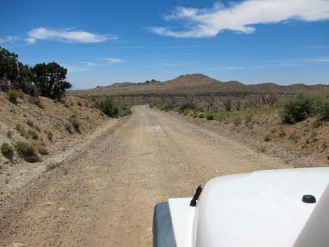
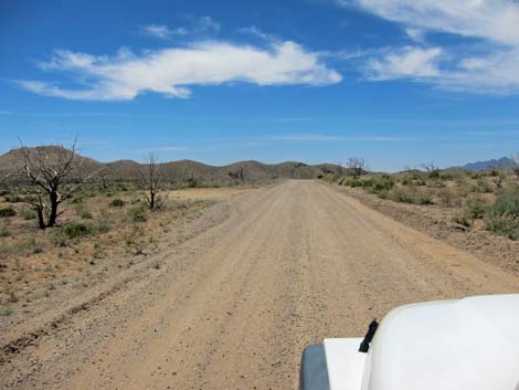
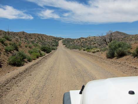
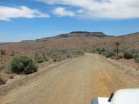
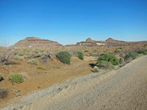
 Approaching low saddle over Mid Hills (view SW) |
Wild Horse Road climbs out of the Macedonia Canyon drainage, bends hard to the left, and begins down into Wild Horse Canyon. At 6.6 miles out, the road passes a working windmill on the right, and at about 7.2 miles out, the road passes another 4WD road on the left. This side road runs out to a campsite at the base of the Opalite Cliffs, and then continues east to Black Canyon Road using part of the Mid Hills to Hole-in-the-Wall Trail and Barber Peak Loop Trail. Again, this road remains open in support of ranching and search-and-rescue. At 8.3 miles out, Wild Horse Road passes yet another side road to the left. This road runs out to a couple of low-end campsites and ends for no apparent reason; in fact, the road seems to have no apparent reason. |
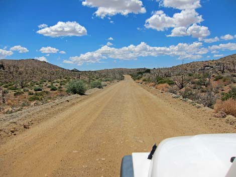
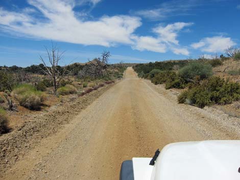
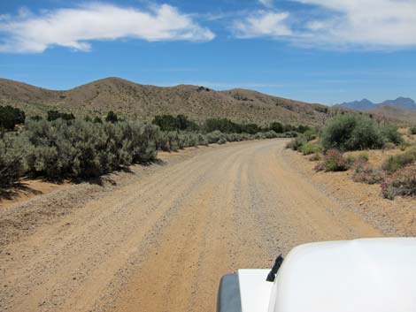
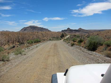
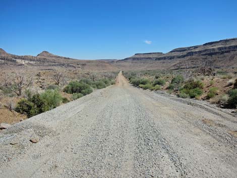
 Descending towards campground road (view SW) |
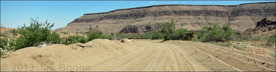
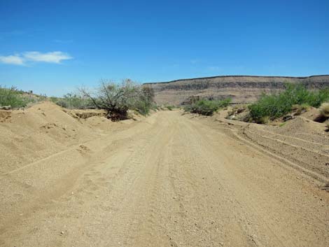
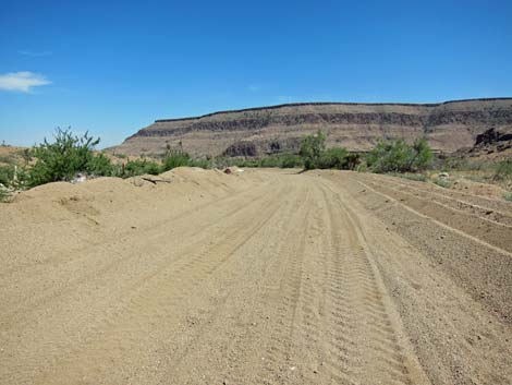
Wild Horse Road, now running low in Wild Horse Canyon, enters Wild Horse Wash at about 8.5 miles out, and for the next 0.8 miles, the road runs in a ditch formed by attempts to grade the soft sand off the roadway. Unfortunately, the sand is bottomless and gets churned up, so this area can be a bit of a problem for low-hanging sedans. It should be passable going downhill, but consider carefully before going in the opposite direction. Back on firm soils, Wild Horse Road passes a short spur road left (10.0 miles out) leading to a primitive campsite. At 10.4 miles out, the road passes Wild Horse Trailhead, which provides access to several trails, including the Tall Yuccas Route. |
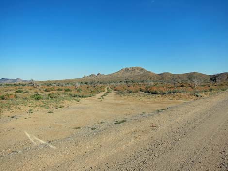
 Wild Horse Road at 4-way intersection (view SW) |
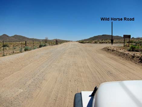
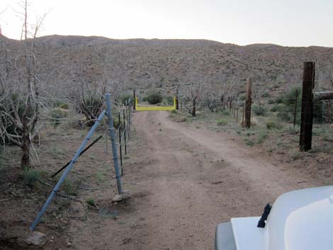
Now heading due east, Wild Horse Road passes another spur road left (10.9 miles out) leading to the mouth of Banshee Canyon. There is no camping on this road, but it remains open in support of search-and-rescue efforts on the trails. Just past this side road, Wild Horse Road crosses another cattle guard, and at 11.0 miles out, passes another spur road to the left that leads to a well-used primitive campsite. On the right in this area are the buildings of a working cattle ranch. Continuing east, the road bends a bit to the left and runs out to the pavement at Black Canyon Road (Site 1267) after a total of 11.5 miles on the dirt. Hole-in-the-Wall is to the left at the intersection, and Interstate 40 is to the right. |
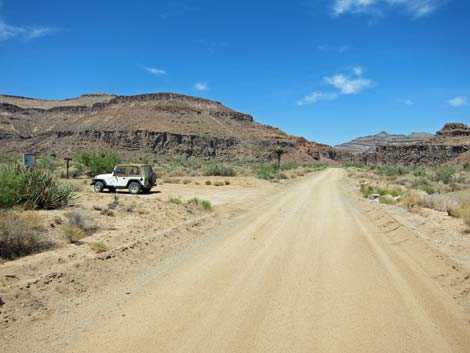
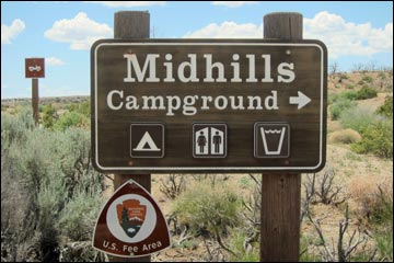 Mid Hills Campground sign (view W) |
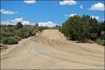 Mid Hills Campground Road (view N from Wild Horse Road) |
 Mid Hills Trailhead (view S from Wild Horse Road) |
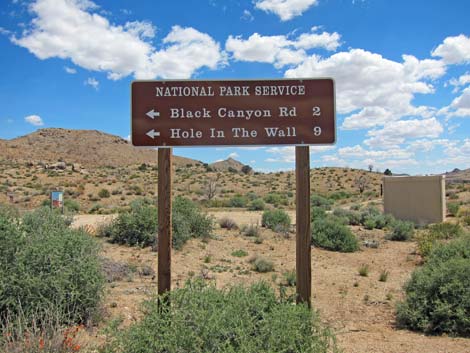 Directional sign opposite Mid Hills Campground Road (view S) |
 |
 |
 Eagle Rocks camp area on the right (view SW) |
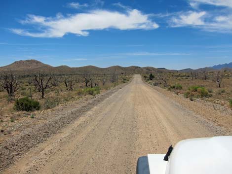
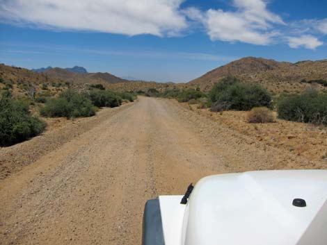
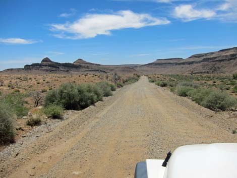
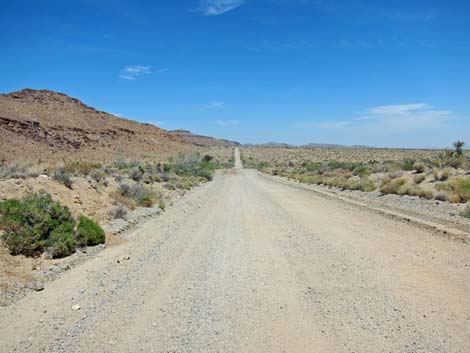
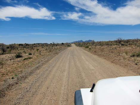 Crossing high desert flats (view S) |
 |
 |
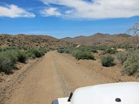
 Approaching side road to the left (view S; 3.9 miles out) |
 Side road to the left (view S; 3.9 miles out) |
 3.9-mile side road (view SE from Wild Horse Road) |
 Approaching side road to the left (view S; 4.4 miles out) |
 Side road to the left (view S; 4.4 miles out) |
 4.4-mile side road (view NE from Wild Horse Road) |
 |
 |
 |
 |
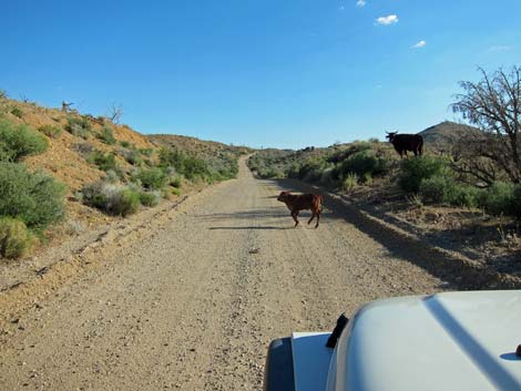 Little road hazard, especially at night |
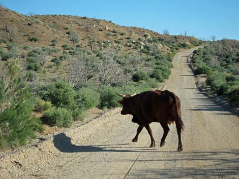 Big road hazard, especially at night |
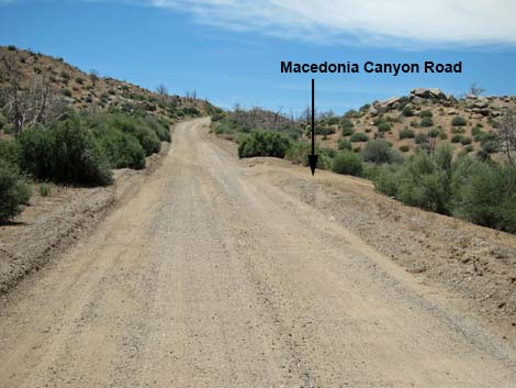 Approaching Macedonia Canyon Road (view S) |
 Macedonia Canyon Road (view S from Wild Horse Road) |
 |
 |
 |
 |
 |
 |
 Another road hazard, especially at night |
 Approaching Opalite Cliffs Road (view SE) |
 Opalite Cliffs Road (view SE from Wild Horse Road) |
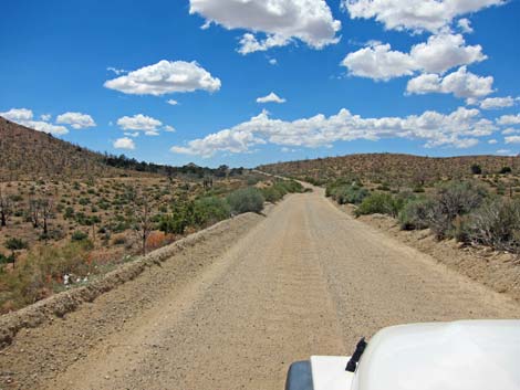
 Gravel laid to stabilize the road surface |
 Dropping into Wild Horse Canyon (view SE) |
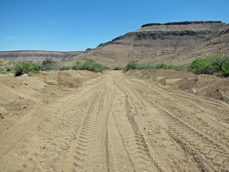 Wild Horse Wash; note recent grader activity (view SE) |
 Loose sand in Wild Horse Wash (view SE) |
 Not-so-loose sand in Wild Horse Wash (view SE) |
 Loose sand in Wild Horse Wash (view SE) |
 Loose sand in Wild Horse Wash (view SE) |
 Beyond the sand in Wild Horse Wash (view E) |
 Approaching Wild Horse Trailhead (view NE) |
 Wild Horse Road (view E) |
 Approaching Black Canyon Road (view E) |
 Wild Horse Road at Black Canyon Road (view E) |
 More to come ... |
Table 1. Highway Coordinates Based on GPS Data (NAD27; UTM Zone 11S). Download Highway GPS Waypoints (*.gpx) file.
| Site | Location | UTM Easting | UTM Northing | Latitude (N) | Longitude (W) | Elevation (ft) | Verified |
|---|---|---|---|---|---|---|---|
| 0834 | Black Cyn Rd at Mid Hills Rd | 645618 | 3889147 | 35.13646 | 115.40166 | 5,282 | Yes |
| 0835 | Wild Horse Rd at MH Camp Rd | 642866 | 3887646 | 35.12332 | 115.43212 | 5,522 | Yes |
| 1267 | Black Cyn Rd at Wild Horse Rd | 646945 | 3878305 | 35.03853 | 115.38903 | 4,153 | Yes |
| 1268 | Wild Horse Trailhead | 645313 | 3878094 | 35.03687 | 115.40695 | 4,216 | Yes |
| 1478 | Wild Horse Rd at Macedonia Canyon Rd | 640789 | 3882685 | 35.07889 | 115.45575 | 4,965 | Yes |
Happy Hiking! All distances, elevations, and other facts are approximate.
![]() ; Last updated 240329
; Last updated 240329
| Backroads | Hiking Around Mojave Preserve | Hiking Around Las Vegas | Glossary | Copyright, Conditions, Disclaimer | Home |