Hiking Around Las Vegas, Mojave National Preserve
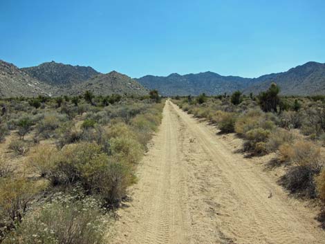
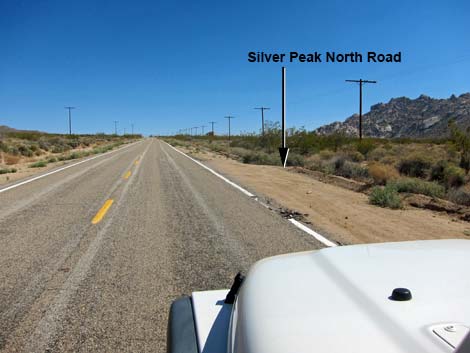 Kelbaker Rd at Silver Peak North Road (view SE) |
Overview Silver Peak North Road is a dirt road in the south-central part of Mojave National Preserve that provides access to the Silver Peak trailhead and portions of the Sweeney Granite Mountains Desert Research Center, a unit of the University of California Natural Reserve System. Under normal conditions, the road should be fine for a carefully driven sedan. Link to map. |
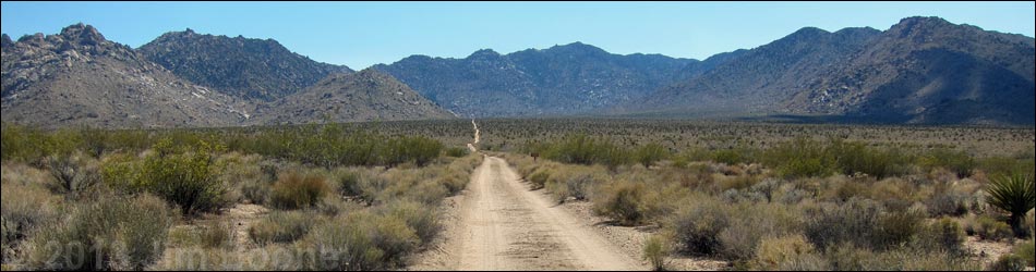
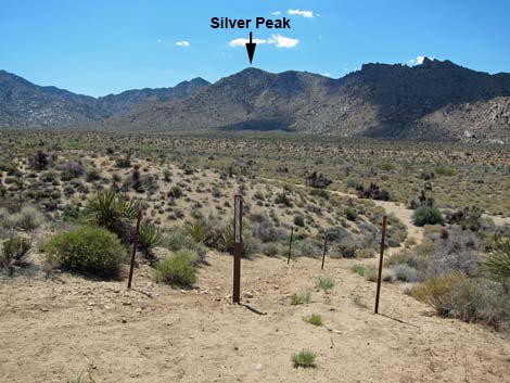
 Silver Peak North Road (view SW from Kelbaker Rd) |
Watch Out Other than the standard warnings about the desert, ... the road is a bit rough, but should be passable in a sedan. Use your own good judgment about the road conditions, as the road is subject to washouts. While out in the desert, please respect the land and the other people out there, and try to Leave No Trace of your passage. Also, the area is remote, so be sure to bring the 10 Essentials. At the trailhead, pay particular attention to respecting the land as it is adjacent to the Nature Reserve, an outdoor classroom for UC and other students. |
 |
Getting to the Road This road is located in Mojave National Preserve, about 1-3/4 hours south of Las Vegas. From town, drive out to the Mojave National Preserve Visitor Center in Kelso. Consider using Nipton Road, Ivanpah Road, Morning Star Mine Road, and Kelso-Cima Road to get to the Kelso Depot Visitor Center. In Kelso, turn left onto Kelbaker Road, drive south across the railroad tracks, and continue towards Interstate-40 for 12.4 miles to Silver Peak Road North, which is unmarked. This is 4.6 miles past Kelso Dunes Road and 9.9 miles north of Interstate 40. |
 |
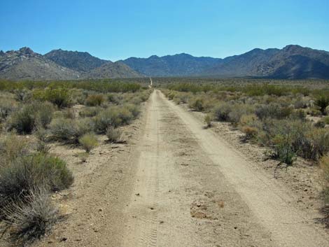
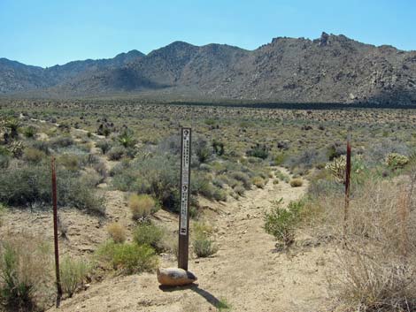
The Road From Kelbaker Rd (Table 1, Site 1452), turn right onto the unmarked dirt road and drive west. A few yards down the road, a sign proclaims "no cutting firewood." The road bends a bit to the left, then runs southwest, more-or-less straight, for 1.8 miles to a locked gate. Just before the end of the road, at 1.7 miles out, a side road merges from the right. Just beyond there, the main road seems to split, but actually it is entering the first of two parking areas where another road comes in from the left. To the right, an alternate trailhead for the Silver Peak Trail drops off the hillside to the right. |
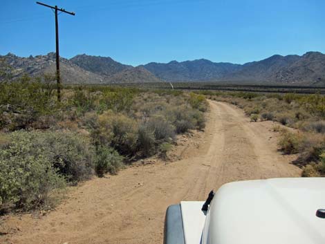
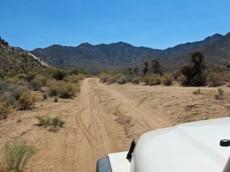 Road merging from the right (view SW) |
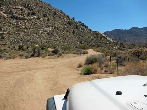
Continuing "straight," the road forks again, but this is just the start of a turn-around loop. The loop serves as the main Silver Peak Trailhead parking area (Site 1453). The trail drops over the hillside to the west, and there is a primitive campsite on the east side of the loop. From the top of the loop, the main road continues a few yards to a locked gate. Beyond the gate, the road continues into the Nature Reserve. |
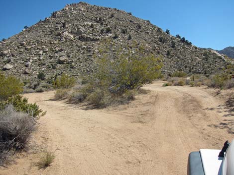 Road splits around several bushes (view SW) |
 Road at alternate trailhead (view SW) |
 Alternate trailhead (view W) |
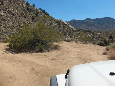 Road splits around bush to make a loop (view SW) |
 Main trailhead (view W) |
 Primitive campsite (view SE) |
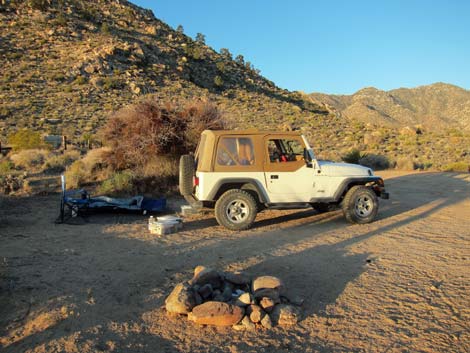 Camper at primitive campsite (view S) |
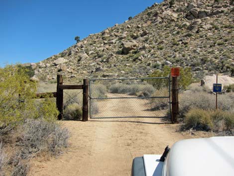 Public road ends at a locked gate (view S) |
Table 1. Highway Coordinates Based on GPS Data (NAD27; UTM Zone 11S). Download Highway GPS Waypoints (*.gpx) file.
| Site | Location | UTM Easting | UTM Northing | Latitude (N) | Longitude (W) | Elevation (ft) | Verified |
|---|---|---|---|---|---|---|---|
| 1452 | Kelbaker Rd at Silver Peak Rd North | 625682 | 3855733 | 34.83792 | 115.62547 | 3,610 | Yes |
| 1453 | Silver Peak Trailhead Parking | 623737 | 3853698 | 34.81981 | 115.64703 | 3,937 | Yes |
Happy Hiking! All distances, elevations, and other facts are approximate.
![]() ; Last updated 240329
; Last updated 240329
| Backroads | Hiking Around Mojave Preserve | Hiking Around Las Vegas | Glossary | Copyright, Conditions, Disclaimer | Home |