Hiking Around Las Vegas, Mojave National Preserve

 Caruthers Canyon Road (view N from New York Mountains Road) |
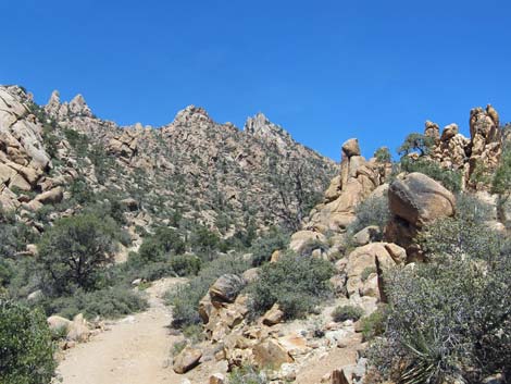
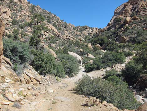
Overview Caruthers Canyon Road is an old mining and ranching road that runs up to a mine at the head of Caruthers Canyon. Most of the road is fine for 2WD-HC vehicle, but it is rough in a few spots with washouts, rocks, and gravel in the wash. Farther out, the road is badly washed out, and a landslide blocks the end of the road, but I drove my jeep to the Stone-Table campsite in 2WD. This road provides access to several primitive camping areas, including the Stone-Table campsite, areas to scramble among the rock outcrops, and access to several hiking routes, including Giant Ledge Mine, New York Mountain Peak, and New York Two Mountain Peak. Link to map. |
 Caruthers Canyon Rd at windmill (view N) |
Watch Out Other than the standard warnings about being in the desert, ... the road is easy in a 2WD-HC vehicle out to the campsites, and most of it should be passable in a carefully driven sedan. If driving a sedan, inquire locally about current conditions and use your own good judgment about the road conditions, as the road is subject to washouts. While out in the desert, please respect the land and the other people out there, and try to Leave No Trace of your passage. Also, even though the road is short, the area is remote, so be sure to bring the 10 Essentials. |
 Caruthers Canyon Rd at small water tank (view N) |
Getting to the Road This road is located in Mojave National Preserve, about 2-1/4 hours south of Las Vegas. From town, drive south on I-15 into California to Nipton Road (Table 1, Site 1008). Turn left onto Nipton Road and drive east about 4 miles to Ivanpah Road (Site 1264). Turn right onto Ivanpah Road and drive south for 24.2 miles to the signed New York Mountain Road (Site 1259). Turn right onto New York Mountain Road and drive west for 5.7 miles to an unsigned four-way intersection with Caruthers Canyon Road (Site 1260). |
 Caruthers Canyon Rd at fork past small water tank |
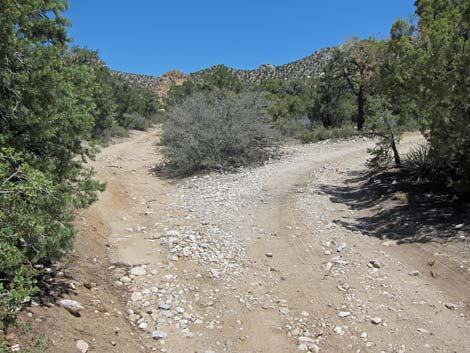
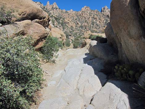
The Road From New York Mountain Road at Caruthers Canyon Road (Site 1260), turn right onto Caruthers Canyon Road and drive north. On Caruthers Canyon Road, all forks (except a washout) are passed by driving straight up the canyon. The road forks at an old windmill with a large, rusted water tank (Site 1261), and the main road stays right. The road passes a small water tank, then forks again (Site 1459); the main road stays right. For drivers in sedans, this might be a good place to park because the main road drops to cross a side wash just past the fork. |
 Caruthers Canyon Road at fork; stay right (view N) |
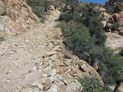
The road forks again (Site 1460), and the main road stays right. Before long, the road forks again (Site 1461). Here, the road bears left, as the right (straight) runs into an impassable, washed-out ditch. Climbing out of the ditch could be difficult for 2WD vehicles. Passing the ditch, the bypass road merges back into the main road at a spot that, again, could be difficult for 2WD vehicles. Continuing, the road forks again (Site 1462), and the main road stays right. The road drops into the wash, but the gravel is firm (May 2013) and should be fine for 2WD-HC vehicles. At this point, the road enters into an area of tall Canyon Live Oak that shade several primitive campsites (Site 1262). Hikers with 2WD-HC vehicles might want to stop here. |
 Caruthers Canyon Rd bypassing washout (view N) |
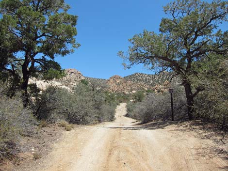
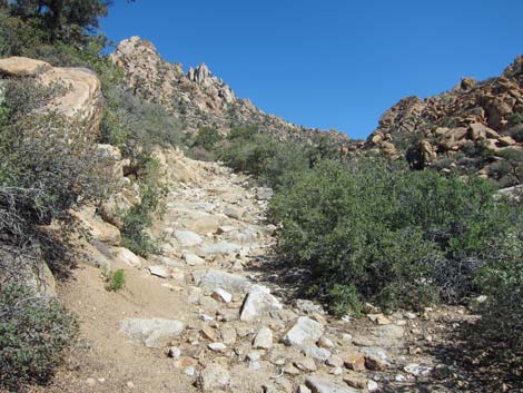
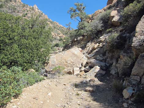
Otherwise, the road continues to another fork in the road (Site 1463). Here, the main road continues straight (left) up the canyon, while the right runs up to the Stone Table primitive campsite (Site 1466). Continuing straight, the road passes a "Caruthers Canyon Trail" sign (Site 1464). In this vicinity is the last place to safely park a 2WD-HC vehicle. The road deteriorates rapidly beyond the sign, becoming more and more rocky and washed out. Eventually the road becomes so rocky that none but rock-hopper jeeps would continue (Site 1465). The road, such as it is, continues to a landslide (Site 1466) where it appears that turning around isn't even fun in a rock-hopper jeep. |
 Bypass merging back into Caruthers Canyon Rd (view N) |
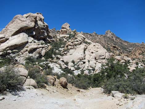
 Caruthers Canyon Rd at fork (view N) |
 Caruthers Rd dropping into wash and main camp area (view N) |
 Caruthers Canyon Rd under oak trees (view N) |
 Campsite under oak trees (view N) |
 Caruthers Rd at fork; right to Stone-Table Campsite (view N) |
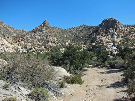
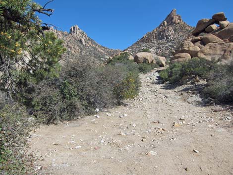
 Caruthers Canyon Rd (view N) |
 Caruthers Canyon Rd at "Caruthers Canyon Trail" sign (view N) |
 Caruthers Canyon Rd (view N) |
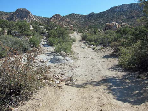
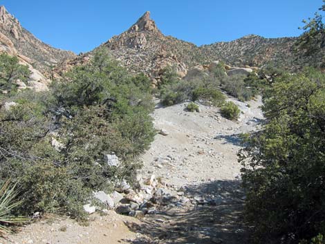
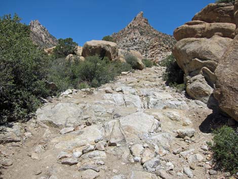
 Caruthers Canyon Rd at a rough patch (view N) |
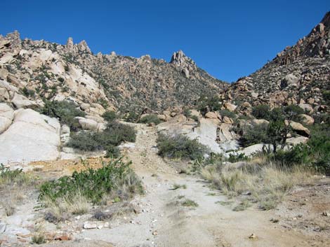
 Caruthers Canyon Rd (view N) |
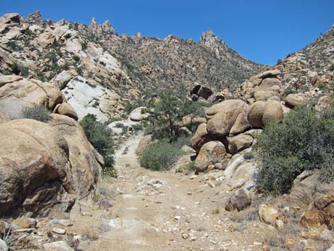
 Caruthers Canyon Rd (view N) |
 Caruthers Canyon Rd (view N) |
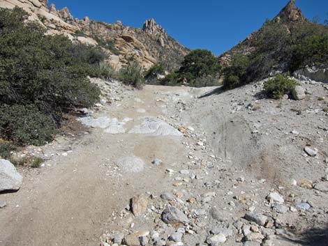 Caruthers Canyon Rd at a rough patch (view N) |
 Caruthers Canyon Rd (view N) |
 Caruthers Canyon Rd at a rough patch (view N) |
 Caruthers Canyon Rd (view N) |
 Caruthers Canyon Rd (view N) |
 Caruthers Canyon Rd at a rough patch (view N) |
 Caruthers Canyon Rd (view N) |
 Caruthers Canyon Rd at a rough patch (view N) |
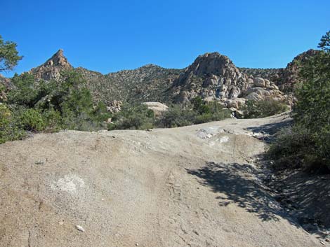
 Caruthers Canyon Rd at hand-made road (view N) |
 Caruthers Canyon Rd (view N) |
 Caruthers Canyon Rd at landslide (view N) |
Side Road to Stone-Table Campsite (good, 2WD-HC road)
 Side road to Stone-Table Campsite (view NE) |
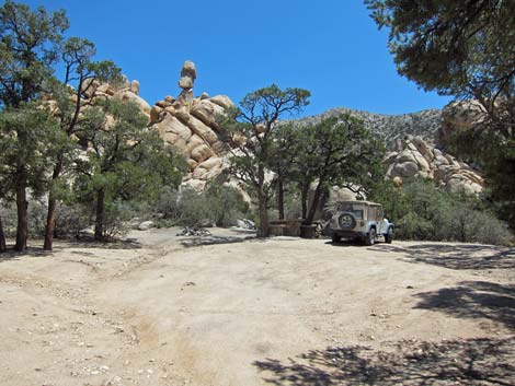 Stone-Table Campsite (view NE) |
Last Side Road to the Left (good, 2WD road)
Caruthers Canyon Rd at fork; left to campsite (view N; Site 1462) |
 Two-track side road (view W) |
 Two-track side road (view W) |
 Two-track side road at a single campsite (view W) |
Table 1. Highway Coordinates Based on GPS Data (NAD27; UTM Zone 11S). Download Highway GPS Waypoints (*.gpx) file.
| Site | Location | UTM Easting | UTM Northing | Latitude | Longitude | Elevation | Verified |
|---|---|---|---|---|---|---|---|
| 1260 | NY Mtn Rd at Caruthers Rd | 655000 | 3898275 | 35.21733 | 115.29701 | 5,397 | Yes |
| 1261 | Caruthers Rd at Windmill | 654761 | 3899152 | 35.22527 | 115.29947 | 5,510 | Yes |
| 1262 | Caruthers Rd at 2WD parking | 654729 | 3900872 | 35.24078 | 115.29950 | 5,623 | Yes |
| 1263 | Caruthers Cyn Mine Site | 654718 | 3902453 | 35.25503 | 115.29932 | 6,069 | Yes |
| 1459 | NY Mtn Rd @ Fork | 654658 | 3899839 | 35.23148 | 115.30047 | 5,512 | Yes |
| 1460 | NY Mts Rd @ Fork | 654650 | 3899981 | 35.23276 | 115.30053 | 5,525 | Yes |
| 1461 | NY Mts Rd @ Washout | 654620 | 3900251 | 35.23520 | 115.30081 | 5,537 | Yes |
| 1462 | NY Mts Rd @ Fork | 654666 | 3900738 | 35.23958 | 115.30021 | 5,576 | Yes |
| 1463 | NY Mts Rd @ Fork | 654840 | 3901032 | 35.24220 | 115.29825 | 5,585 | Yes |
| 1464 | NY Mtn Rd @ 2WD Parking | 654882 | 3901088 | 35.24271 | 115.29777 | 5,685 | Yes |
| 1465 | NY Mtn Rd @ 4WD Parking | 654952 | 3901547 | 35.24683 | 115.29692 | 5,740 | GPS |
| 1466 | Stone Table Campsite | 654942 | 3901041 | 35.24227 | 115.29712 | 5,615 | Yes |
| 1468 | Caruthers Canyon Rd @ Landslide | 654632 | 3902087 | 35.25174 | 115.30034 | 5,961 | GPS |
Happy Hiking! All distances, elevations, and other facts are approximate.
![]() ; Last updated 240329
; Last updated 240329
| Backroads | Hiking Around Mojave Preserve | Hiking Around Las Vegas | Glossary | Copyright, Conditions, Disclaimer | Home |