Hiking Around Las Vegas, Mojave National Preserve
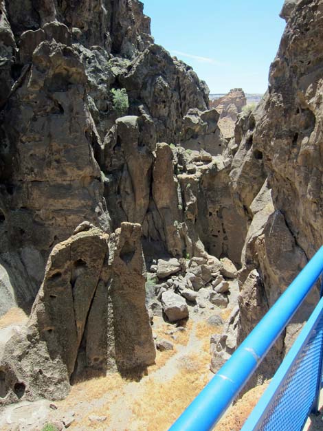 |
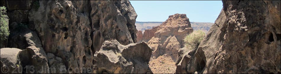
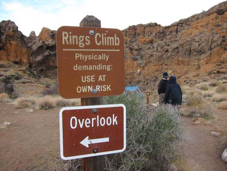
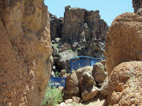
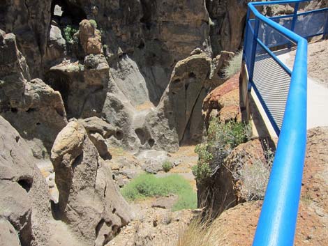
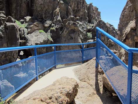
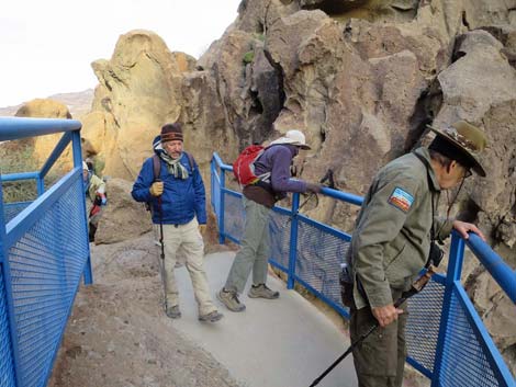
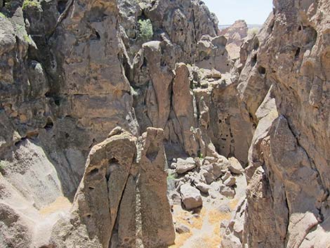
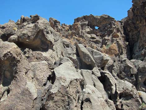
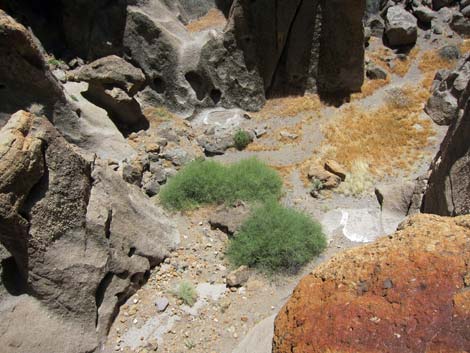
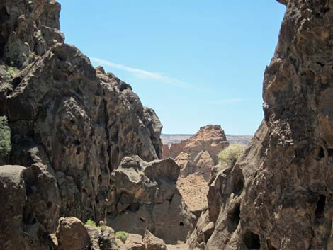
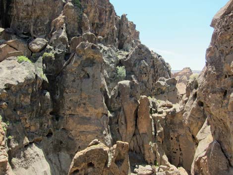
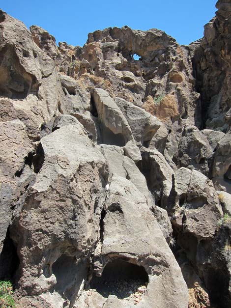
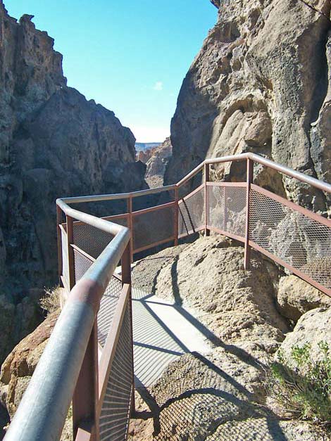
Overview Banshee Canyon is a narrow cleft in the hills formed from erosion of volcanic tuffs, a type of rock formed from clouds of volcanic ash that once smothered this land. Over time, wind, rain, and other forces of nature carved away the rock, leaving the oddly shapes walls of Banshee Canyon. A short trail from the parking area leads through a gap in the rock that emerges onto the edge of Banshee Canyon. Guard rails prevent falls, but visitors need to scramble around a few rocks to get there. While at the overlook, listen for the songs of bird (e.g., Canyon Wren), and look for the "white wash" that marks their roosts and nesting spots. When done at the overlook, adventuresome hikers might want to become more intimate with Banshee Canyon on the Rings Trail. Link to map. Getting to Banshee Canyon Banshee Canyon is located in Mojave National Preserve, about 2 hours south of Las Vegas. From town, drive south on I-15 into California and then to the Hole-in-the-Wall Visitor Center. Continue on Hole-in-the-Wall Road another 0.2 miles to the Rings Trailhead. From the Rings Trailhead, the Overlook is to the left, not down the Rings Trail. |
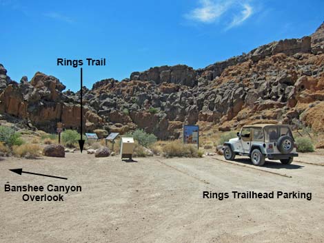 Rings Trailhead (view W) |
 Sign: Banshee Canyon Overlook to the left (view W) |
 Trail to Overlook (view S) |
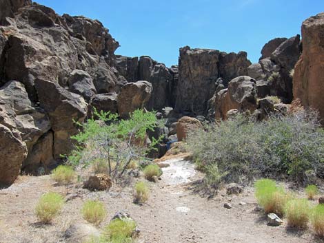
 Trail runs through rocky boulders |
 |
 |
 |
 |
 |
 |
 |
 |
 |
 |
Happy Hiking! All distances, elevations, and other facts are approximate.
![]() ; Last updated 240329
; Last updated 240329
| Hiking Around Mojave Preserve | Hiking Around Las Vegas | Glossary | Copyright, Conditions, Disclaimer | Home |