Hiking Around Las Vegas, Mojave National Preserve
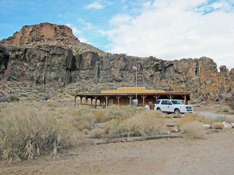 Hole-in-the-Wall Visitor Center (view SW) |
Overview This trail runs for about 8 miles between Hole-in-the-Wall (HW) and Mid Hills (MH). This long, but fairly easy trail traverses a variety of habitats and vegetation types (burned and unburned), climbs through rocky passes, follows sandy washes, and runs through big open country that gives the feeling of being "way out there." There are various places to start and end this hike, and the trail can be walked in either direction in all or in part, but as described here, the hike starts at the HW Visitor Center and runs uphill (net gain of about 1,710 feet) to the MH Trailhead. As such, the hike requires a vehicle shuttle, and that being the case, there are several dirt roads that could be used to shorten the hike (exit to Wild Horse Road). Note that the Park Service recommends hiking this trail in the other direction. Link to map. |
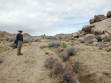
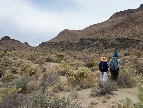
 Hikers at Rings Trail Trailhead (view W) |
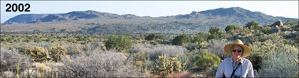
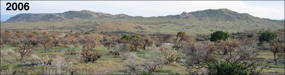
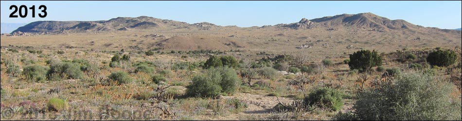
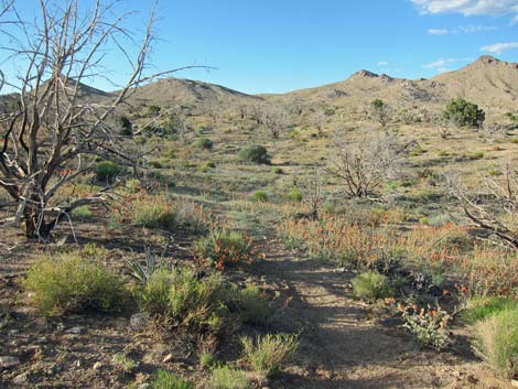
In June 2005, this area burned in the 71,000-acre Hackbury Fire. The south-most mile or so remains unburned, but the rest of the trail runs through the burned area. Although different now, this still is an interesting hike with astounding spring wildflowers and many resprouting shrubs. It will be an interesting see in how desert vegetation comes back after a big wildfire. |
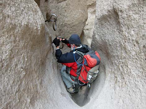 Descending the rings on the Rings Trail (view W) |
Watch Out Other than the standard warnings about hiking in the desert, ...this is a fairly safe hike. You could stumble into one of the many Banana Yuccas, Buckhorn Cholla, or Woodrat nests along the trail, but these concerns aren't unique to this trail. While hiking, please respect the land and the other people out there, and try to Leave No Trace of your passage. Also, this is a long hike in a remote area, so be sure to bring the 10 Essentials. |
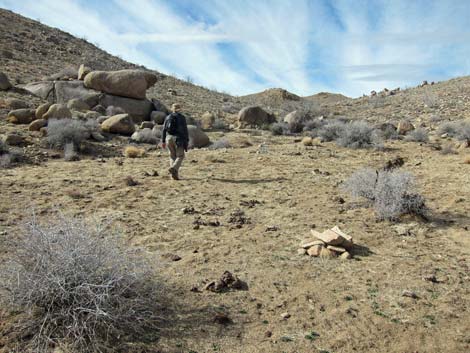
 Hikers below Banshee Canyon (view W) |
Getting to the Trailhead
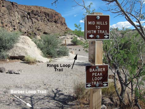
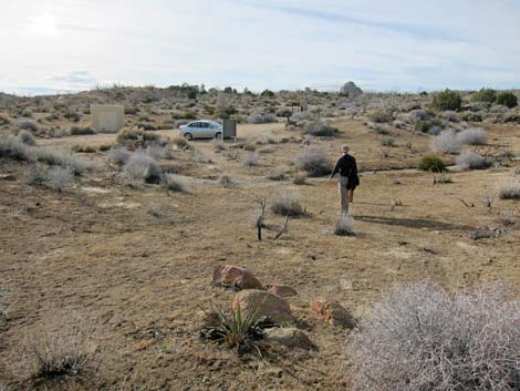
This hike is located Mojave National Preserve, about 2 hours south of Las Vegas. From town, drive two vehicles out towards Hole-in-the-Wall Visitor Center, which is about 85 miles south of Las Vegas. From the Visitor Center, drive north on Black Canyon Road about 7 miles to Wild Horse Road. Watch for signs to Mid Hills Campground. Turn left towards the campground and drive west 2 miles to the campground entrance road. Do not turn into the campground; rather, turn left into the Mid Hill Trailhead parking area. Leave a shuttle vehicle here and return to the Hole-in-the-Wall Visitor Center. Continue on Hole-in-the-Wall Road past the Visitor Center to the end of the road and the Rings Trailhead. Park here; this is the trailhead. Alternatively, continue south past the Visitor Center to Wild Horse Road. Turn right and continues west about a mile to Wild Horse Trailhead. |
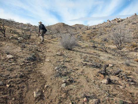
 Well signed trail (follow Barber trail signs; view S) |
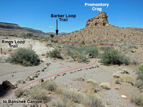
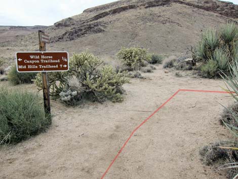
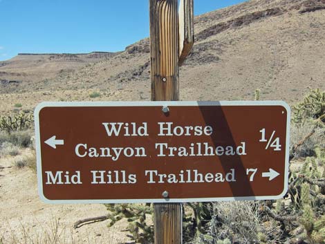
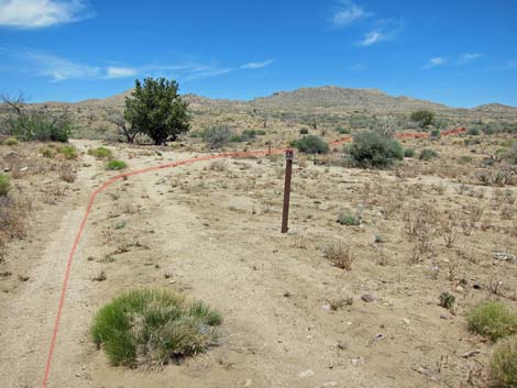
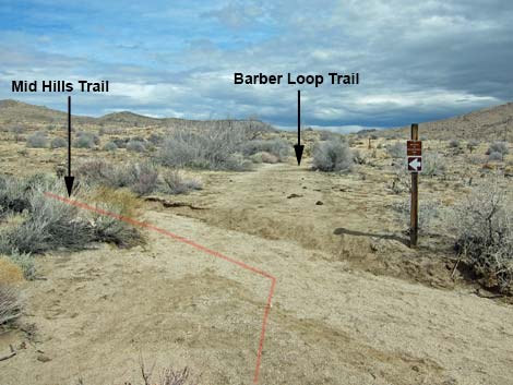
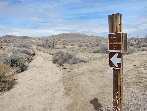
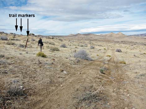
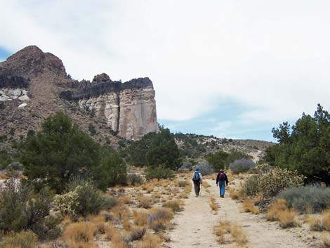
The Hike From the Visitor Center (Table 1, Waypoint 01), the trail runs west along the Picnic Area road to the Rings Trail trailhead (Wpt. 02). The trail follows the Rings Trail and descends through a cleft in the cliffs (Banshee Canyon) to the desert floor below and a trail junction with the Rings Loop Trail (Wpt. 03). For details of this section, see the Rings Trail. From the trail junction (Wpt. 03), the HW-MH trail runs southwest on marked trails to pass the south side of the striking promontory crag that can be seen from the hole-in-the-wall cleft. Watch for carsonite trail markers and Barber Loop signs along the trail. After about 1.20 miles, the trail reaches a junction (Wpt. 07) with the trail that comes up from Wild Horse Road. The road, about 0.3 miles south of the junction, is an alternative trailhead. |
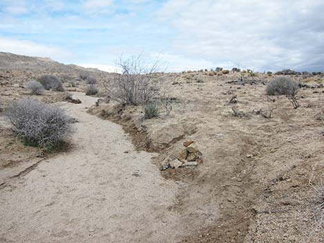
 Wash with trail marker (view W) |
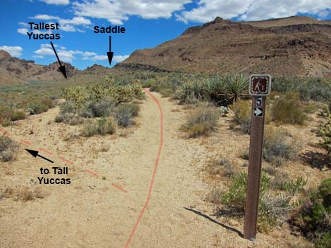
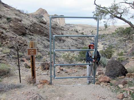
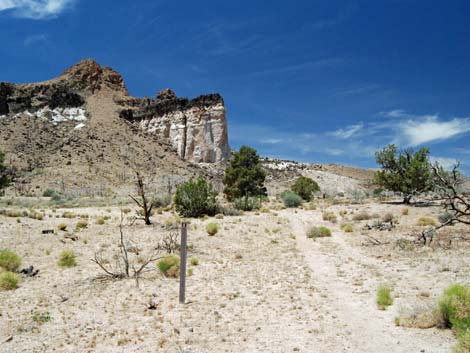
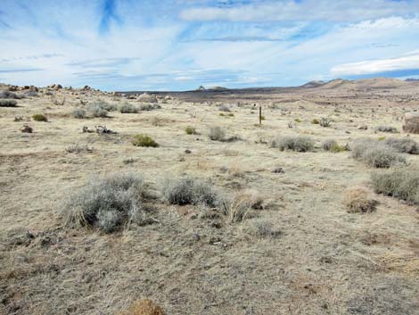
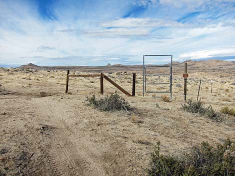
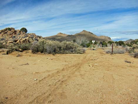
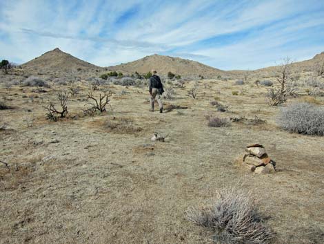
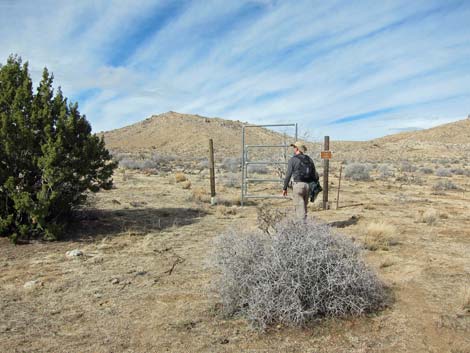
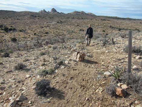
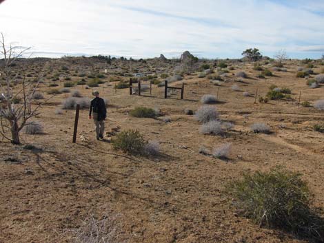
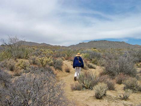
From the trail junction, the trail turns right and runs north for about 0.7 miles to what appears to be a pass on the horizon (Wpt. 9), but which actually is a narrow gap between the mountains. To get there, the trail follows a bench between a broad sandy wash to the west and distinctively banded volcanic cliffs to the east. The vegetation on the bench is low-growing Mojave Desert Scrub with lots of Mojave Yucca and Buckhorn Cholla, and there are many cholla-spine-fortified Desert Woodrat (packrat) nests among the yuccas. The fire burned the entire mountain across the wash to the west. About 200 yards before getting to the narrow gap, the trail passes two tree-sized Mojave Yuccas as it runs around the east side of a rocky knob with lots of Barrel Cactus. The trail then goes above and to the east of the narrow gap, passes through a gate (Wpt. 10; sign says 6.2 miles to MH) and drops into the sandy wash (Wpt. 11) north of the narrow gap. The trail runs into the burned area here. |
 Trail junction to Wild Horse Trailhead (view W) |
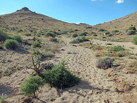
The trail starts up the wash, then quickly leaves the wash and follows old roads northwest (past a campsite below the Opalite Cliffs; Wpt. 12) for about 0.5 miles to a fork (Wpt. 13) in the road below the Opalite Cliffs, which are light-colored cliffs capped with black lava. The vegetation along here used to be relatively lush in the wash and on the north-facing slopes (species including Single-leaf Pinyon, Utah Juniper, Desert Almond, Catclaw Acacia, and other large shrubs). The shrubs are resprouting, but few trees survived the fire. From the Opalite Cliffs (Wpt. 13), the trail runs northeast on another dirt road to a trail junction (Wpt. 14). Here, the Barber Loop Trail continues northeast, while the HW-MH Trail turns left and heads north towards a saddle on the horizon about 2 air-miles distant (entirely burned). The trail runs up a wash for a ways (Wpt. 15), then leaves the wash to the right and runs up onto low ridges. The vegetation through here used to be dense higher-elevation Mojave Desert Scrub with Big Sagebrush, various cholla, Mojave Yucca and Banana Yucca, Nevada Ephedra, and California Buckwheat. The shrubs are resprouting. |
 |
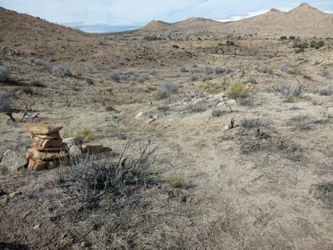
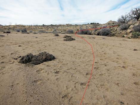
In this area, the trail is faint but well marked with cairns. Always keep an eye out ahead looking for the next cairn. Off to the east side of the trail, hikers will pass a small mining operation. Be careful here, as the dirt around the mine shaft is loose, and the loose dirt could give away when trying to get a closer look. In fact, this probably is the scariest open shaft I've ever found. Farther up the trail, just before getting into the hills, the trail crosses an old road (Wpt. 17), passes through an old gate (Wpt. 18), and joins an old road (Wpt. 19), all while heading north. Following the road, the road quickly forks (Wpt. 20) without sign of any kind. To the right is a quail guzzler, but the route runs left and up the hill heading for the saddle on the skyline (Wpt. 21). |
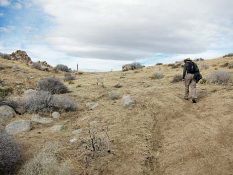
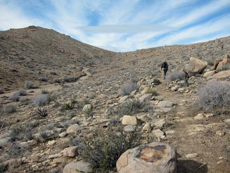
 Trail climbs to high gap (view NW) |
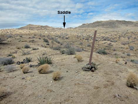
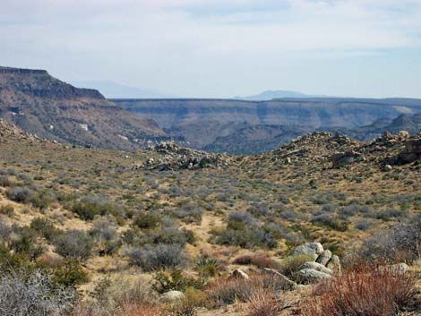
Views from the saddle are great, and with binoculars, hikers can see the entrance to the MH campground (the end of the trail). The route from here runs far to the east of what might be expected by looking at the lay of the land, and it runs over the hills seen about 2.7 air-miles due north of the saddle (all burned). From the saddle, the trail runs downhill on the old road for 0.21 miles (Wpt. 22). At that point, there is no trail, sign, or other indicator of the trail, but a line of carsonite trail markers can be seen leading across open desert to the northwest. The trail follows the signs, but hiking the road and staying to the north will work too. Either way, the trail reaches another gate and a dirt road (Wpt. 23). |
 Hiker at gate beyond highpoint (view NW) |
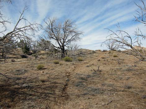
From the gate, the trail crosses the road and heads northeast, following the hillside and a wash to a point to the southeast of some bluffs (Wpt. 24). The vegetation in the valley was Single-leaf Pinyon, Utah Juniper, and Big Sagebrush on the slopes, and Desert Almond and Catclaw Acacia in the wash, and some are growing back. For no apparent reason, the trail, marked with carsonite signs and cairns, turns hard to the left to cross under the toe of the bluffs. The trail crosses a broad, sandy wash (Wpt. 25), and on the other side (Wpt. 26), curves a bit to the northeast behind a rocky outcrop. The trail is a bit hard to follow, but watch for trail markers. The trail runs over low ridges and drops into another sandy, broad wash (Wpt. 27). Following the wash upstream, the trail hits a road that crosses the wash (Wpt. 28). |
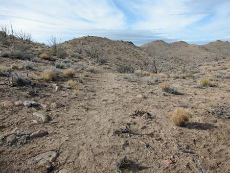
 Approaching Opalite Cliffs (view NW) |
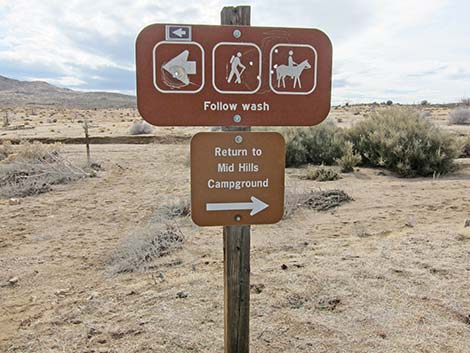
At this point, hikers can stay on the regular trail (turn right), which climbs (for no particular reason) over the mountains in the distance, or they can follow the wash and an old road (stay straight) up the valley to the trailhead (avoids climbing over the mountains). For details and routing options, see the Mid Hills Loop Trail. Staying on the main trail, the trail turns northeast onto the old road. In only a few yards, the trail forks off (Wpt. 29) from the road and heads north. Again, the trail is a bit hard to follow, but it runs over low ridges heading for a canyon to the north. The trail passes an old gate (Wpt. 30) and continues north in a sandy wash into the canyon (Wpt. 31). The trail climbs at moderate grades to a saddle (Wpt. 32) at the top of the canyon. |
 Trail junction (view N) |
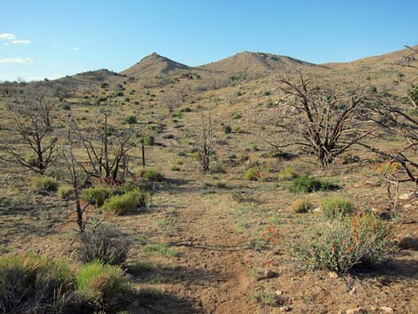
Crossing onto the hillside to the east, the trail continues climbing at moderate grades towards a higher saddle (Wpt. 33), at which point hikers can look down to the trailhead. The views from the saddle are pretty expansive (great view of the New York Mountains to the northeast), but for a grand view, hikers are encouraged to climb onto the peak to the south. The summit is closer than it looks (about 200 yards; seems longer) and well worth the effort. Beyond the saddle (Wpt. 33), the trail descends at moderate grades and switchbacks to another gate (Wpt. 34) and shortly the trailhead (Wpt. 35). From MH, drive back to the HW trailhead. |
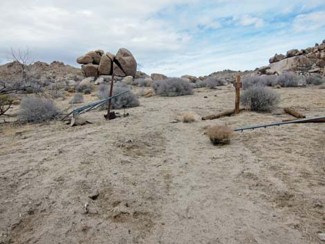
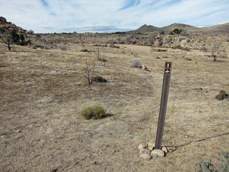
 Barber Loop - HW-MH Trail junction (view NE) |
 HW-MH Trail junction (view N) |
 Obscure trail departs wash (view N) |
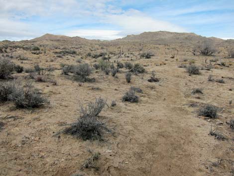 Faint trail - watch for trail markers (view N) |
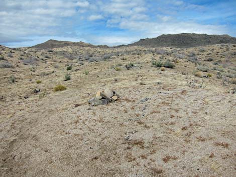 Cairn marks faint trail (view N) |
 Carsonite sign marks faint trail (view N) |
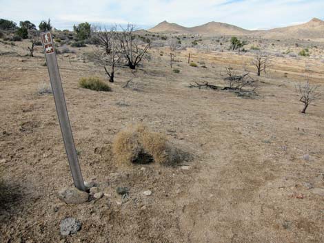
 Trail passes gate (view N) |
 Trail follows old road (view N) |
 Trail follows old road onto high saddle (view N) |
 Trail follows old road beyond saddle (view N) |
 Trail departs old road (view N) |
 Carsonite signs mark faint trail (view N) |
 Trail passes gate (view N) |
 Cairn marks faint trail (view N) |
 Carsonite signs mark faint trail (view N) |
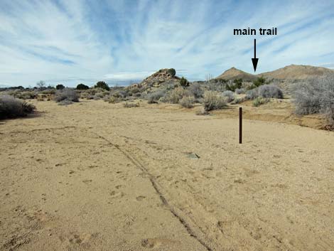
 Trail crosses broad wash then trends right (view N) |
 Carsonite signs mark faint trail (view N) |
 Carsonite signs mark faint trail (view N) |
 Main trail departs wash onto old road (view NE) |
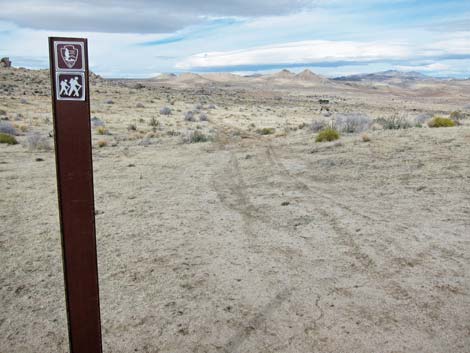
 Trail sign (note wash in the background; view SW) |
 Faint trail with few markers (view NE) |
 Faint trail with few markers (view NE) |
 |
 |
 Trail passes gate (view N) |
 Starting into canyon (view N) |
 Trail runs up sandy wash with few markers (view N) |
 Trail climbs onto hillside (view N) |
 Trail passes low saddle and climbs across hillside (view N) |
 Trail climbs onto high saddle (view N) |
 Trail departs high saddle (view N) |
 Hiker approaching gate near trailhead (view NW) |
 Hiker approaching trailhead (view NW) |
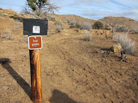 Trail Guide box near trailhead (view SE) |
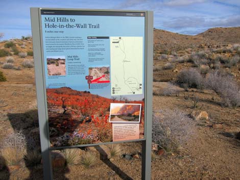 Trail information sign (view SE) |
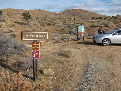 Trailhead parking (view SE) |
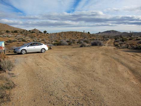 Trailhead parking (view SE) |
 More to come ... |
Historic Photos from Before the 2005, 71,000-acre Hackbury Fire
 Hikers departing HW area |
 Hikers approaching the Opalite Cliffs (view NW) |
 Hiker heading for saddle on the skyline (view N) |
 Looking back towards Barber Peak (on left; view S) |
 Hikers on 4.8-mile saddle (view NE) |
 Hiker approaching the northern mountains (view S) |
Table 1. Trail Coordinates Based on GPS Data (NAD27; UTM Zone 11S). Download Hiking GPS Waypoints (*.gpx) file.
| Wpt. | Location | UTM Easting | UTM Northing | Elevation (ft) | Point-to-Point Distance (mi) | Cumulative Distance (mi) | Verified |
|---|---|---|---|---|---|---|---|
| 01 | HW Visitor Center | 646446 | 3878721 | 4,227 | 0.00 | 0.00 | GPS |
| 02 | Rings Trailhead | 646177 | 3878898 | 4,256 | 0.24 | 0.24 | GPS |
| 03 | Trail Junction | 646020 | 3878753 | 4,163 | 0.20 | 0.44 | GPS |
| 04 | Trail Drops into Wash | 645818 | 3878538 | 4,160 | 0.20 | 0.64 | GPS |
| 05 | Trail turns into Side Wash | 645737 | 3878527 | 4,171 | 0.05 | 0.69 | GPS |
| 06 | Trail Exits Wash | 645525 | 3878425 | 4,194 | 0.18 | 0.87 | GPS |
| 07 | Trail Junction | 645031 | 3878461 | 4,292 | 0.33 | 1.20 | GPS |
| 08 | Detour to Tall Yucca | 644860 | 3878777 | 4,320 | 0.23 | 1.43 | GPS |
| 09 | Highpoint | 644393 | 3879376 | 4,533 | 0.52 | 1.95 | GPS |
| 10 | Gate | 644281 | 3879465 | 4,505 | 0.10 | 2.05 | GPS |
| 11 | Trail Enters Wash | 644230 | 3879498 | 4,458 | 0.04 | 2.09 | GPS |
| 12 | Campsite below Opalite Cliffs | 643779 | 3879801 | 4,541 | 0.38 | 2.47 | GPS |
| 13 | Road Forks | 643704 | 3880001 | 4,577 | 0.17 | 2.64 | GPS |
| 14 | Trail Junction | 643790 | 3880165 | 4,593 | 0.11 | 2.75 | GPS |
| 15 | Trail Exits Wash | 643706 | 3880476 | 4,659 | 0.23 | 2.98 | GPS |
| 16 | Trail Junction | 643729 | 3881560 | 4,943 | 0.73 | 3.71 | GPS |
| 17 | Crossing Old Road | 643599 | 3882076 | 5,084 | 0.39 | 4.10 | GPS |
| 18 | Old Gate | 643597 | 3882180 | 5,103 | 0.07 | 4.17 | GPS |
| 19 | Trail Joins Old Road | 643602 | 3882202 | 5,112 | 0.01 | 4.18 | GPS |
| 20 | Road Forks | 643641 | 3882348 | 5,163 | 0.10 | 4.28 | GPS |
| 21 | Saddle | 643463 | 3883144 | 5,393 | 0.54 | 4.82 | GPS |
| 22 | Trail Departs Road | 643507 | 3883470 | 5,349 | 0.21 | 5.03 | GPS |
| 23 | Gate | 643343 | 3883818 | 5,345 | 0.24 | 5.27 | GPS |
| 24 | Trail Exits Wash | 643996 | 3884582 | 5,149 | 0.66 | 5.93 | GPS |
| 25 | Broad Sandy Wash, South | 643938 | 3884930 | 5,116 | 0.24 | 6.17 | GPS |
| 26 | Broad Sandy Wash, North | 643902 | 3884992 | 5,119 | 0.04 | 6.21 | GPS |
| 27 | Trail Drops into Wash | 643872 | 3885216 | 5,157 | 0.15 | 6.36 | GPS |
| 28 | Trail Joins Dirt Road | 643628 | 3885475 | 5,199 | 0.23 | 6.59 | GPS |
| 29 | Trail Departs Dirt Road | 643644 | 3885492 | 5,199 | 0.02 | 6.61 | GPS |
| 30 | Gate | 643741 | 3886312 | 5,319 | 0.55 | 7.16 | GPS |
| 31 | Trail Leaves Wash | 643628 | 3886744 | 5,443 | 0.31 | 7.47 | GPS |
| 32 | Low Saddle | 643534 | 3886888 | 5,510 | 0.12 | 7.59 | GPS |
| 33 | High Saddle | 643407 | 3887395 | 5,646 | 0.38 | 7.97 | GPS |
| 34 | Gate | 642961 | 3887602 | 5,495 | 0.37 | 8.34 | GPS |
| 35 | Trailhead | 642891 | 3887627 | 5,493 | 0.05 | 8.39 | GPS |
Happy Hiking! All distances, elevations, and other facts are approximate.
![]() ; Last updated 240328
; Last updated 240328
| Hiking Around Mojave Preserve | Hiking Around Las Vegas | Glossary | Copyright, Conditions, Disclaimer | Home |