Backroads Around Las Vegas, Lake Mead National Recreation Area
 |
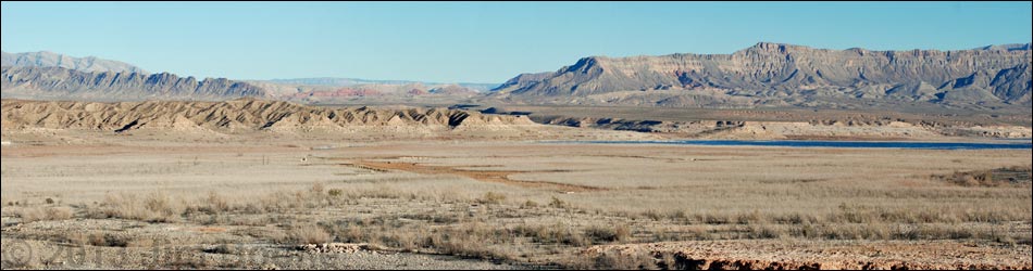
Overview St. Thomas Cove Road is a graded dirt road that runs 3.5 miles from the paved Northshore Road to the top of bluffs overlooking what once was the Overton Arm of Lake Mead. The bluffs now overlook the historic townsite of St. Thomas, and a 2.5-mile loop trail provides access to the remains of foundations that survived underwater for years. The town was founded in 1865 by Mormon settlers, but in 1938 residents were forced to relocate as rising waters behind Hoover Dam flooded the area. Learn more about historical St. Thomas. Link to map. |
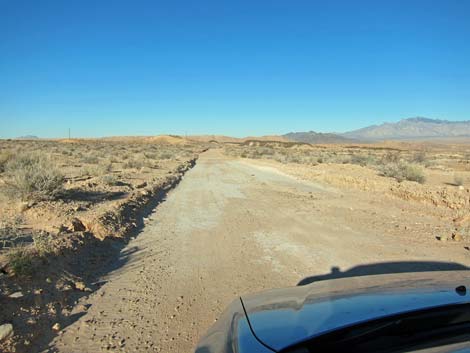
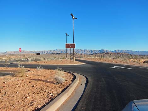
 Edge of pavement at St. Thomas Cove Rd (view NE) |
Watch Out Other than the standard warnings about the desert ... St. Thomas Cove Road generally is a fine road, but it runs out into wild and remote country. When wet, the road surface becomes slick and muddy, but otherwise it is in fair condition. Assuming good weather and a dry road surface, the road is suitable for carefully driven 2WD sedans. Other than restrooms, there are no services or developments of any kind. While out and about, please respect the land and the other people out there, and try to Leave No Trace of your passage. Be sure to bring what you need of the 10 Essentials. All motor vehicles, including ATVs, must be street legal. |
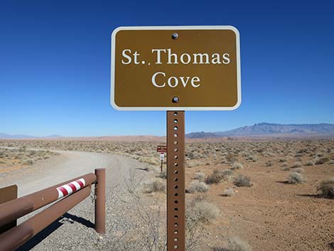
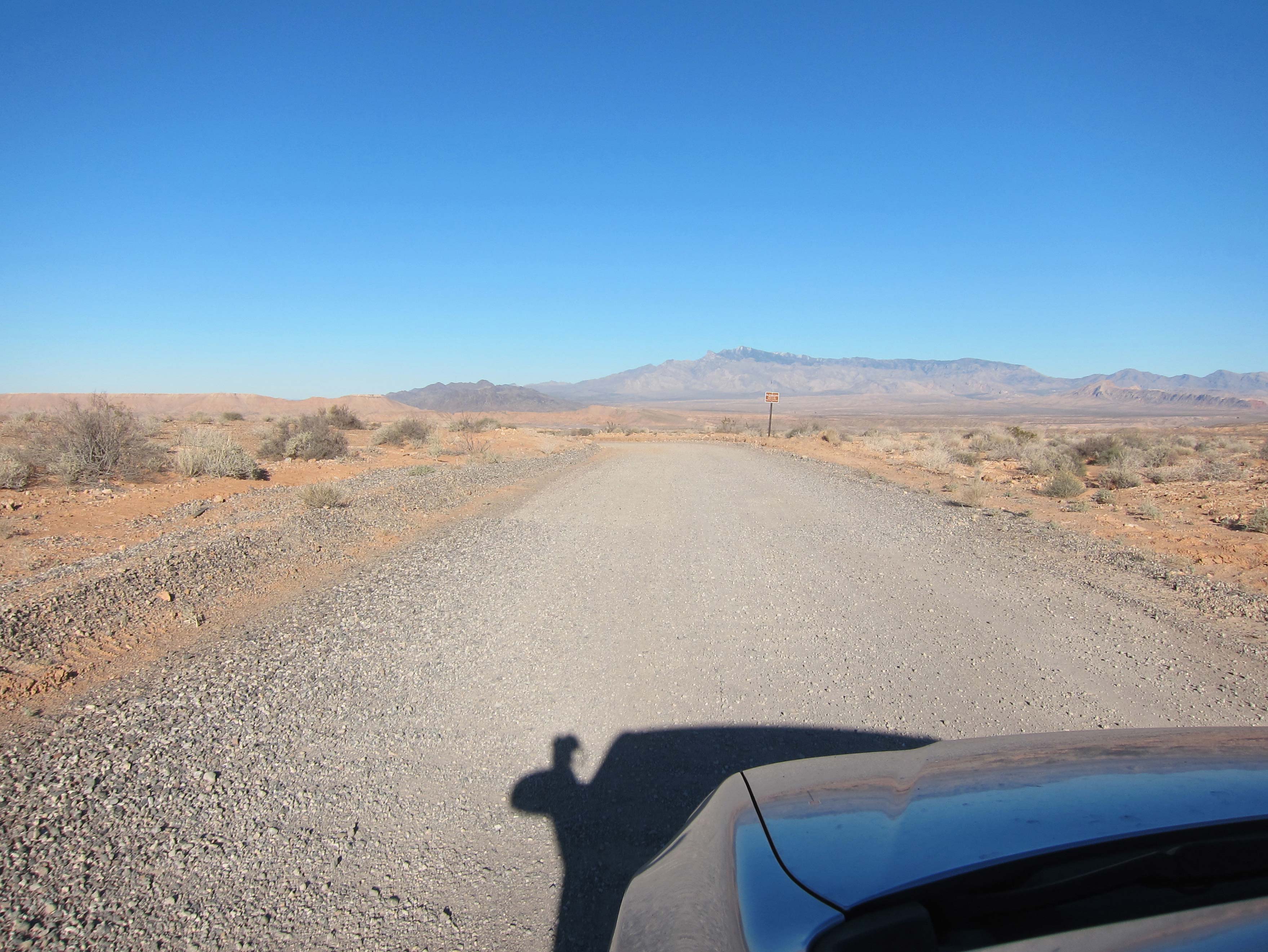
 Sign near start of the road (view E) |
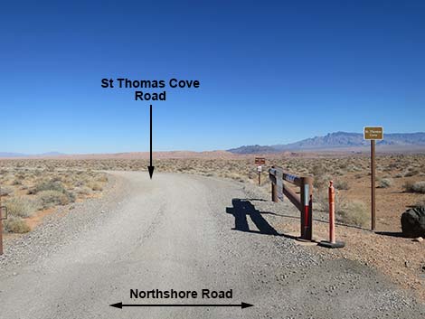
Getting to the Roadhead This road is located in Lake Mead National Recreation Area, about 1-1/2 hours northeast of Las Vegas near the town of Overton. From town, drive out to Lake Mead. From the intersection of Lakeshore Road and Northshore Road (Site 0654), drive north on Northshore Road for 45.5 miles. Just before reaching the Fee Station at the north edge of the park, and while inside the 15-mph zone, St. Thomas Cove Road (Site 1407) turns off to the right. The road can also be reached by driving north on I-15 and then east on Valley of Fire Road, but a fee is required to traverse the State Park. From Valley of Fire Road at Northshore Road (Site 0792), turn right 100 yards, pay the Lake Mead entrance fee, and immediately behind the fee station, turn left towards St. Thomas Cove Road (Site 1407). |
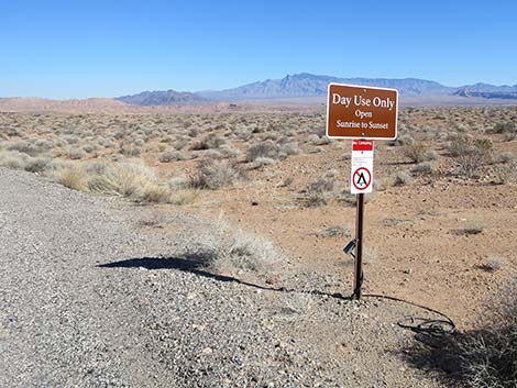
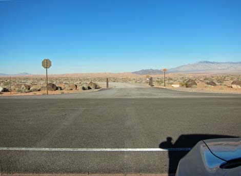
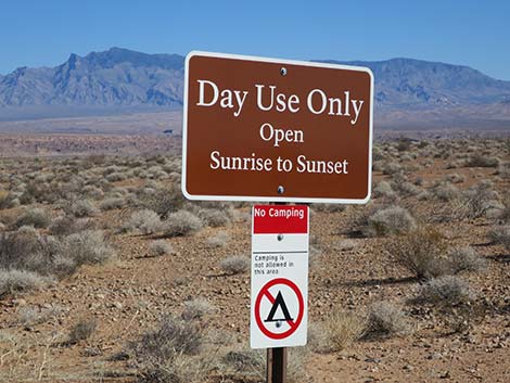 Sign: Day Use Only; no camping (view E) |
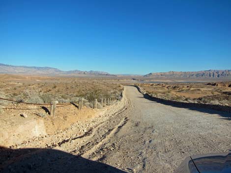
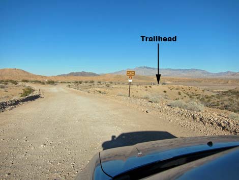
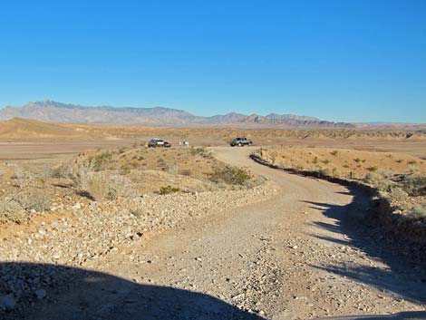
The Road St. Thomas Cove Road is a graded gravel, and then graded dirt, road that runs generally northeast from the pavement towards what once was the edge of Lake Mead. The road generally is wide enough for two cars to pass, but some parts wind about through hills and are narrower. Be sure to drive carefully on blind curves and hilltops. Near the edge of the lake, the road forks. The St. Thomas trailhead is to the right, and restrooms are to the left. At the trailhead, visitors can read a sign with limited information about the townsite, gaze out over the area, or hike down and see the townsite close-up. The road dead-ends, so when ready, turn around and drive back out, remembering, of course, that it seems like an entirely new road on the way back out. |
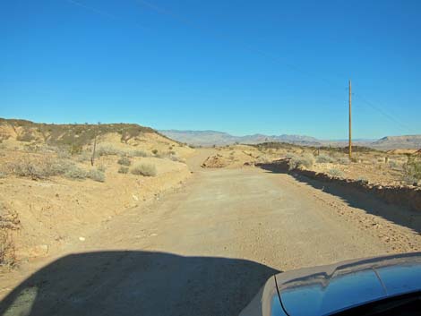
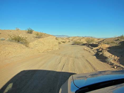
 Gravel at start of the road (view NE) |
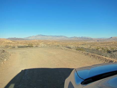
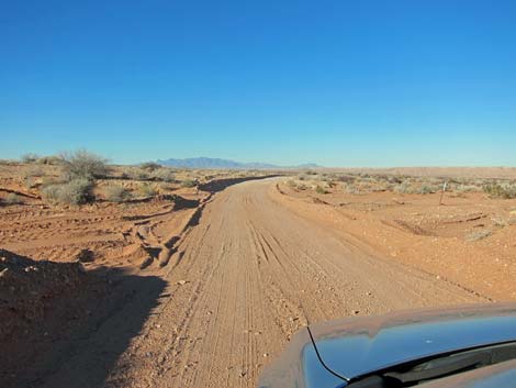 Before long, road surface is graded dirt (view NE) |
 |
 |
 |
 |
 |
 |
 |
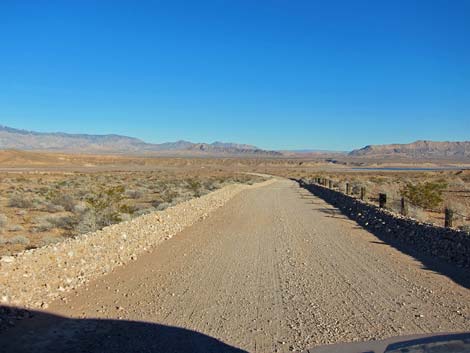 |
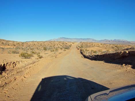
 Approaching the end of the road (view NE) |
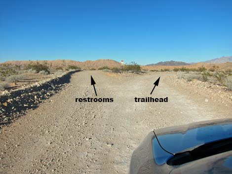 Road forks near the end (view NE) |
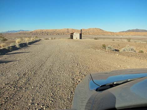 Restrooms on the left fork (view NE) |
 Trailhead on the right fork (view ENE) |
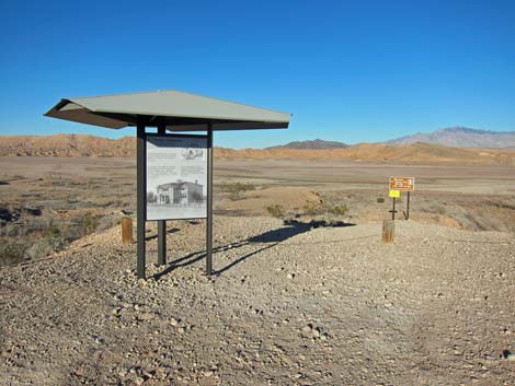 Info and trailhead signs |
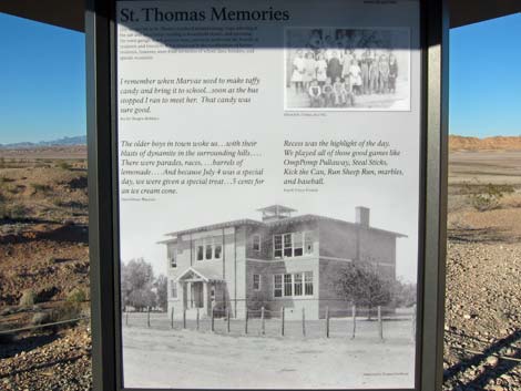 Info sign: mostly personal memory quotes |
 Trailhead sign |
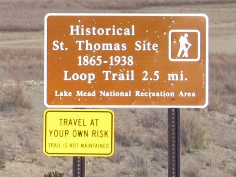 Trailhead sign |
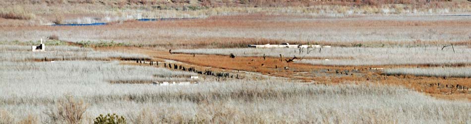
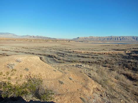 Townsite in the distance: about 0.6 air-miles out (view E) |
 Townsite (view E from trailhead parking) |
 If arriving from Valley of Fire, past fee booth, turn left ... |
 ... and cross the main road to St. Thomas Cove Road |
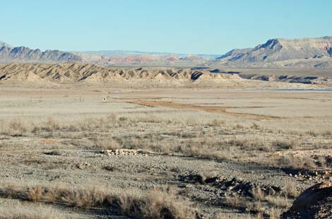
East side of St. Thomas Townsite (view SE from trailhead)
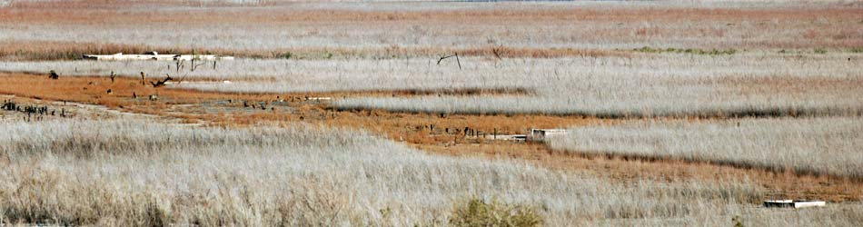
West side of St. Thomas Townsite (view SE from trailhead)
Table 1. Highway Coordinates Based on GPS Data (NAD27; UTM Zone 11S). Download Highway GPS Waypoints (*.gpx) file.
| Site | Location | UTM Easting | UTM Northing | Latitude (N) | Longitude (W) | Elevation (ft) | Verified |
|---|---|---|---|---|---|---|---|
| 0654 | Lakeshore Rd at Northshore Rd | 689139 | 3997939 | 36.10951 | 114.89872 | 1,545 | Yes |
| 0792 | Northshore Rd at Valley of Fire Rd | 730657 | 4035710 | 36.44073 | 114.42670 | 1,539 | Yes |
| 1407 | Northshore Rd at St Thomas Cove Rd | 730811 | 4035619 | 36.43987 | 114.42500 | 1,513 | GPS |
| 1408 | St Thomas Cove Trailhead Parking | 734487 | 4038963 | 36.46910 | 114.38302 | 1,227 | GPS |
Happy Hiking! All distances, elevations, and other facts are approximate.
![]() ; Last updated 240326
; Last updated 240326
| Hiking Around Lake Mead | Backroads | Glossary | Copyright, Conditions, Disclaimer | Home |