Backroads Around Las Vegas, Lake Mead National Recreation Area
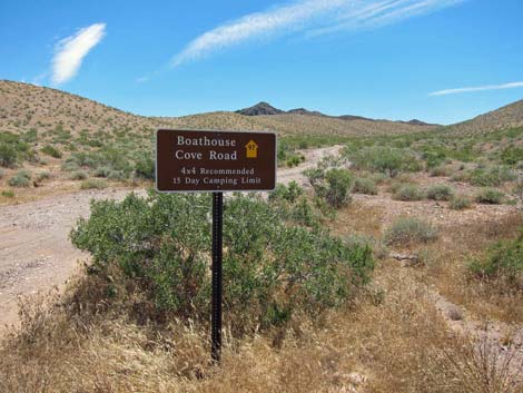
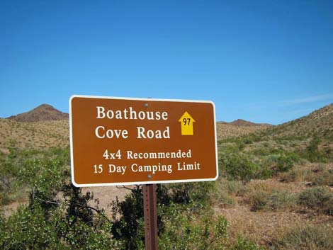 Boathouse Cove Road (Backroad 97) highway sign |
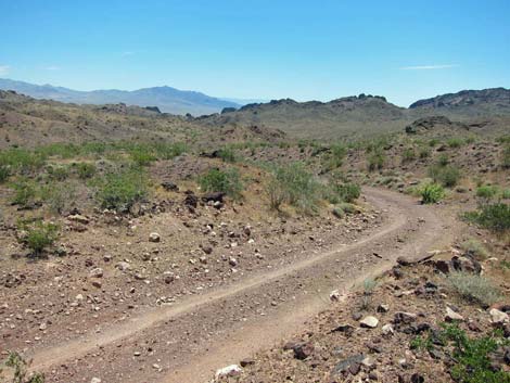
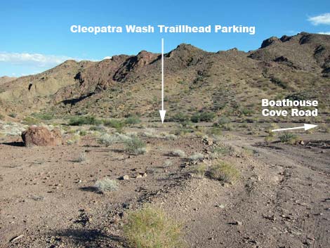
Overview Boathouse Cove Road is a 9.1-mile backcountry road that runs from Northshore Road south to Lake Mead through a narrow corridor between the Jimbilnan Wilderness Area and the Pinto Valley Wilderness Area. Make no mistake, this is wild and remote country, and sandwiched between two wilderness areas, this is a close as it gets to legally driving in wilderness. The road traverses grand scenery, but it is rough in places and requires 4WD to climb out of a wash 4.4 miles out (updated Dec 2014). Boathouse Cove Road provides access to hikes at Cleopatra Wash, Miner's Cove Wash, Hill 722T, and various other routes such as Pyramid Peak and Manganese Wash. It also provides access to two primitive backcountry campgrounds (Boathouse Camp, Cleopatra Wash Camp), one of which (Boathouse) usually is reachable in a carefully driven sedan. Link to map. |
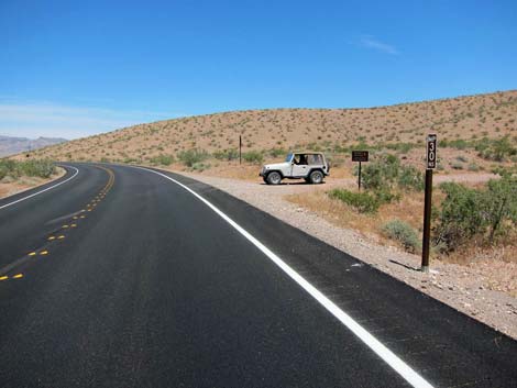 Mile Marker 30 road sign (view N) |
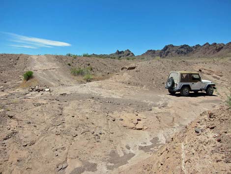
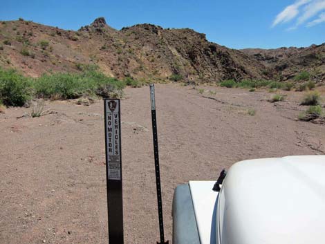
Watch Out Other than the standard warnings about driving in the desert, ...this is a fairly safe drive, especially the first 2.4 miles, but it is not a piece of cake. The first 1.0 miles out to a primitive campground is suitable for a carefully driven sedan. Beyond there, the next 1.4 miles are suitable for 2WD high-clearance vehicles. After that, 4WD is safer, and at 4.4 miles out, a steep-sided wash requires 4WD to climb out the far side. Except for some sand, the 4.4-mile wash crossing is the only 4WD spot. Beyond the wash, the road is 2WD all the way to the lake. While out, please respect the land and the other people out there, and try to Leave No Trace of your passage. This road is long and remote, so be sure to bring the 10 Essentials. Be aware of weather reports and stay out of the area if rain is expected; you don’t want to get caught in a flash flood. This road essentially run in Wilderness, so pay particular attention to respecting the land. |
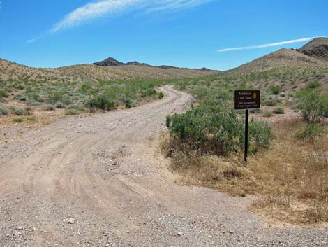
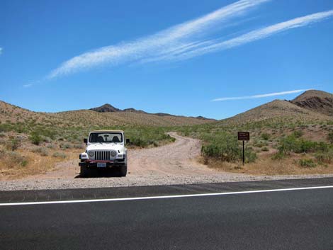 Northshore Road at Boathouse Cove Road (view E) |
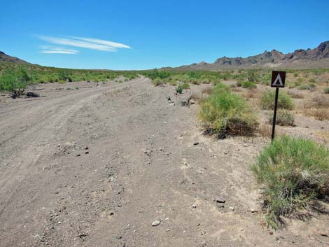
Getting to the Roadhead This road is located along Northshore Road in Lake Mead National Recreation Area, about 1 hour east of Las Vegas. From town, drive out to Lake Mead. From the intersection of Lakeshore Road and Northshore Road, drive north on Northshore Road for 30.0 miles. A few yards past the mile marker sign, turn right onto Boathouse Cove Road (google map). |
 |
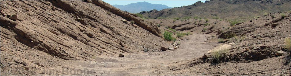
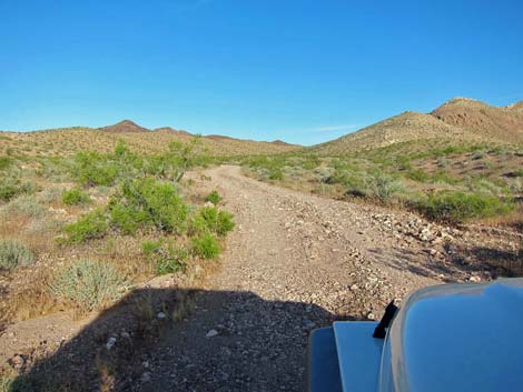
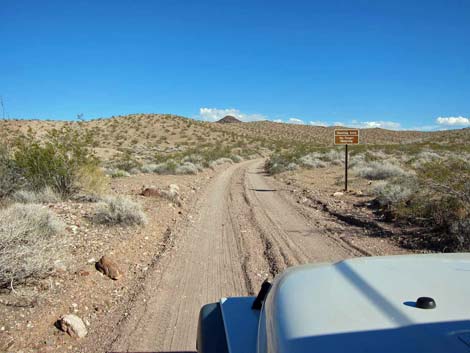
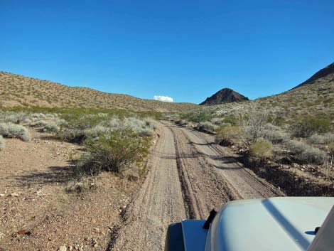
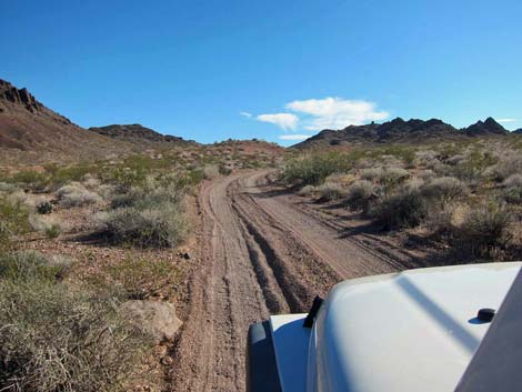
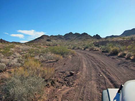
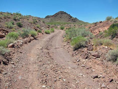
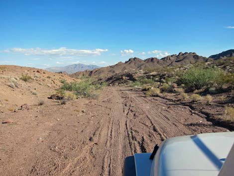
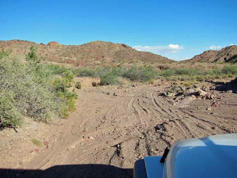
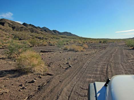
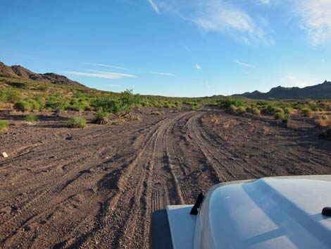
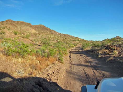
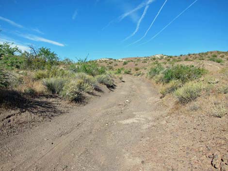
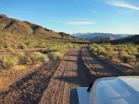
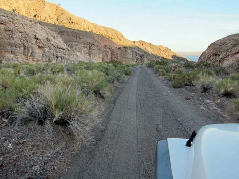
The Road From the pavement (Table 1, Site 0782), the occasionally graded road runs east and then south as it climbs gently into the hills. The road surface in this section is gravel, but the road base is firm, and the Park Service maintains it from time to time. At 1.0 miles out, the road reaches a small primitive campground (Boathouse Campground; Site 1372). In general, camping along roads is illegal at Lake Mead. This, however, is one of a few primitive campgrounds in the park where people can get away from developments and camp in the desert (away from the lake) legally and for free. Boathouse Campground is nothing special, just an open area with a campfire ring and a few boundary signs. Parking is available for several vehicles, but it would be crowded with more than one or two groups. |
 |
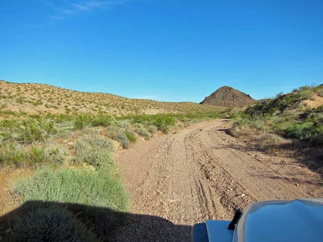
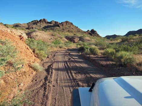
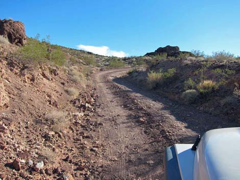
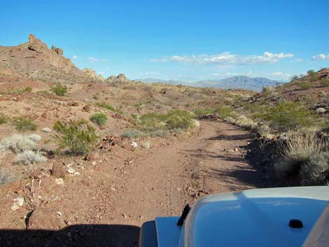
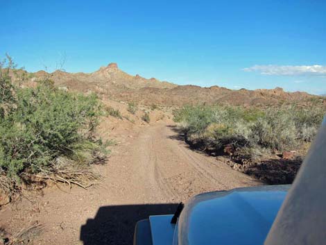
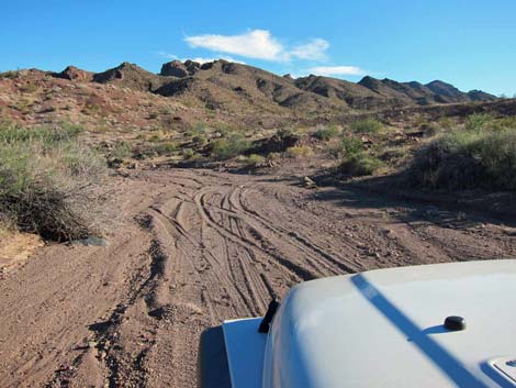
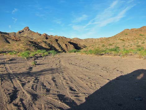
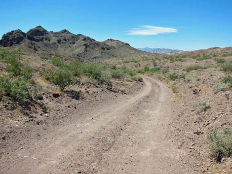
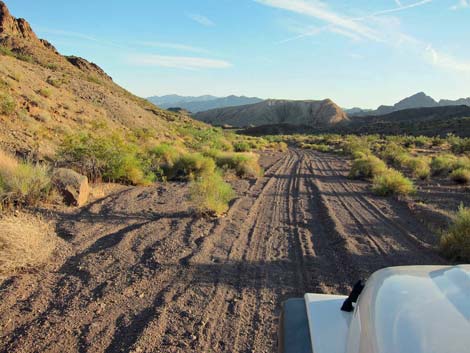
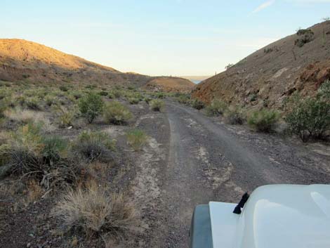
Immediately beyond Boathouse Campground, the road drops into a sandy wash, turns hard to the right, and runs upstream. The road is fairly smooth as it continues south and soon starts into a narrow canyon. In places, there is no room to pass another vehicle, so watch for other drivers careening around curves as they come down the road. Eventually the road runs out of the canyon and climbs steeply onto a saddle (Site 1230) with nice views in both directions, but especially to the north (behind). Starting down the south side of the saddle, the road drops into the upper reaches of Cleopatra Wash. |
 |
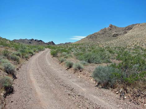
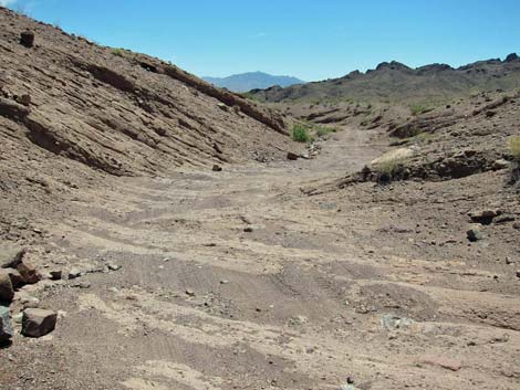
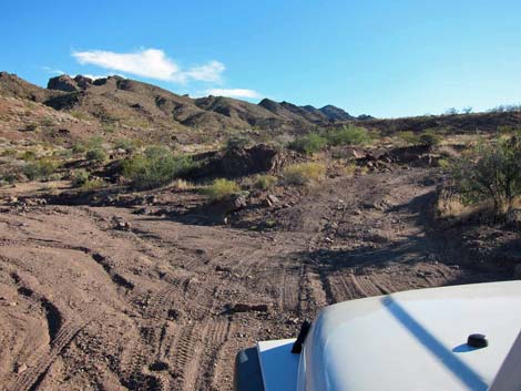
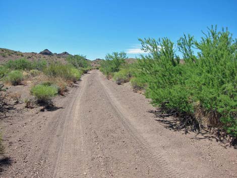
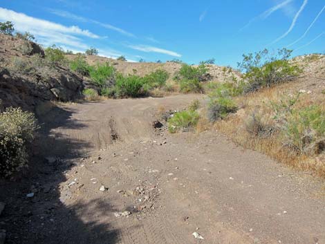
Beyond the saddle, and for the next 0.7 miles, the road gets pretty rough, but remains suitable for a high-clearance vehicle. The road runs downhill at moderate grades into a steep-sided wash with a solid-rock base, and depending on recent rainstorms, rills, holes, ridges, and other irregularities in the wash bottom may be covered with smooth sand or laid bare. In October 2012, the sand had been washed away, making for a rough road. At 2.4 miles out, the wash bed is solid rock and relatively wide, but it runs up to a short pour-over (Site 1231). The wide area is the 2WD trailhead parking for the Cleopatra Wash hike. Without a 4WD, stop here, turn around, and line up vehicles along the north side of the wash, leaving room for other vehicles to pass along the south side. |
 Sign: Hunting Area; No Target Shooting |
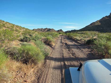
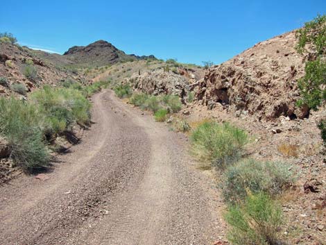
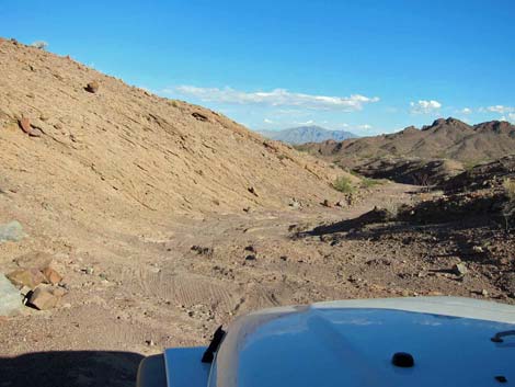
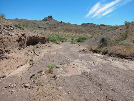
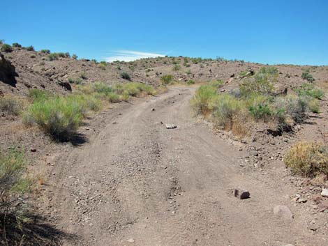
Driving over the pour-over, the road continues downstream for about 100 yards, then turns hard to the right (Site 1232) and climbs out of the wash. For hikers, the Cleopatra Wash route continues down the wash. The road, now a bit rougher, climbs over the low ridge and drops into the next wash to the south. Running downstream again, this wash merges back into Cleopatra Wash (Site 0947) and the sand gets deep. In previous years, this section has been terribly rocky, but 2012 storms washed sand downstream and deposited it here, completely covering the rocks. Just above a constriction in the wash, the road again turns hard to the right and climbs out of the wash (Site 0788), crossing over a ridge to the south. |
 |
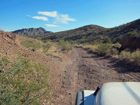
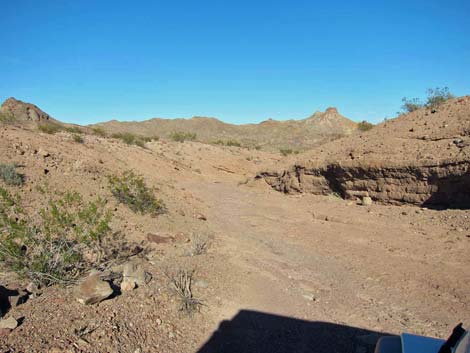
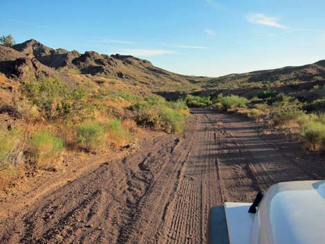
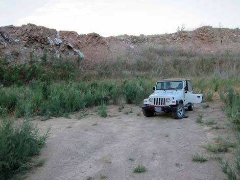
Descending the other side of the ridge, a broad, sandy wash comes into view. The wash disappears into a canyon, and near that point is the 4WD trailhead parking for Cleopatra Wash. Boathouse Cove Road descends towards the broad wash, bends to the right to head upstream, and passes the turnoff to the Cleopatra Wash trailhead access road (Site 1373). Hikers can turn hard to the left and drive the short distance in the sand to barricades bordering the trailhead parking area (Site 0787). Continuing upstream in the wash, the road quickly arrives at another primitive campground (Cleopatra Wash Campground). Cleopatra Wash Campground is much larger than Boathouse Campground, stretching for some 200 yards up the wash (Site 0513). There are no amenities here, and camping is restricted to the sandy wash. |
 |
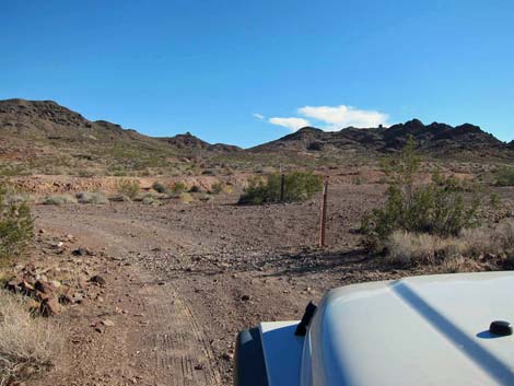
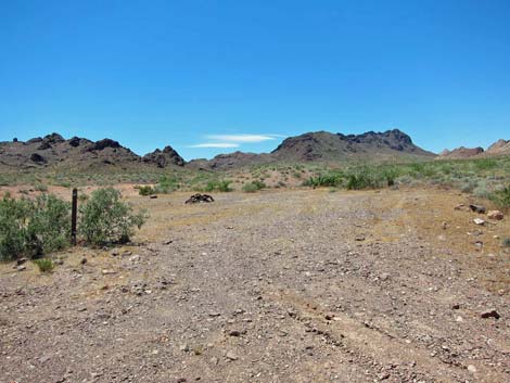
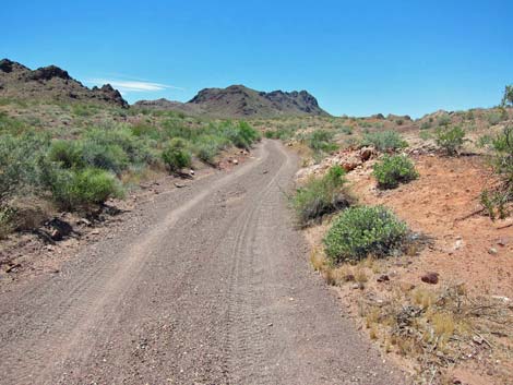
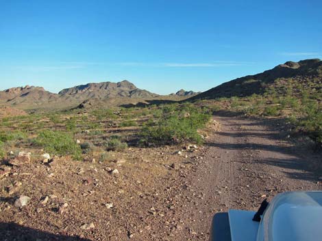
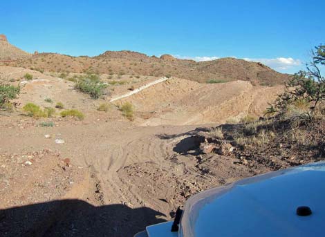
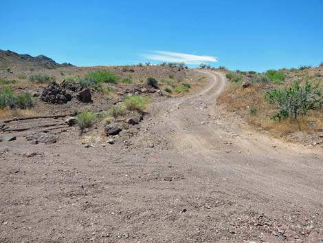
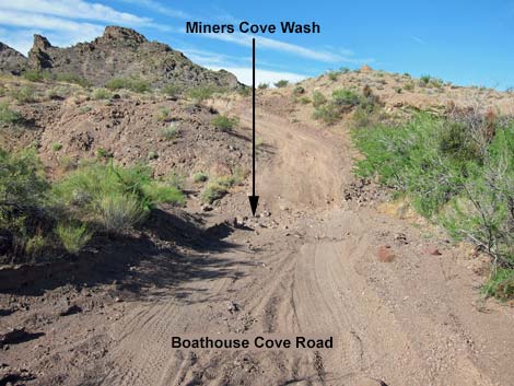
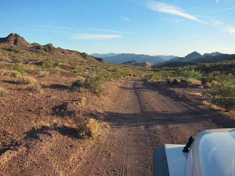
Beyond Cleopatra Wash Campground, the road runs gently up the broad, sandy valley. After most of a mile of easy driving in the wash, the road runs onto firm ground and climbs onto a low saddle 4.1 miles out (Site 1374). Descending the other side of the saddle, the road arrives (4.4 miles out) at a wide spot on the left (Site 1375). This is the trailhead parking for Miner's Cove Wash and the end of the road for 2WD high-clearance vehicles. Just beyond the trailhead parking, the road crosses Miners Cove Wash (Site 1376). The road dips gently into the wash, but climbs steeply out the other side, and because of the cut of the slope, drivers can't get a run at it. The steep far side is pretty torn up too, making for a rough bit of road. |
 |
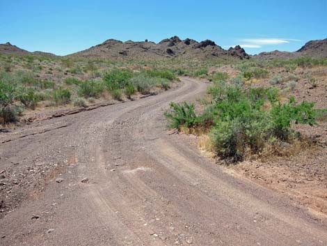
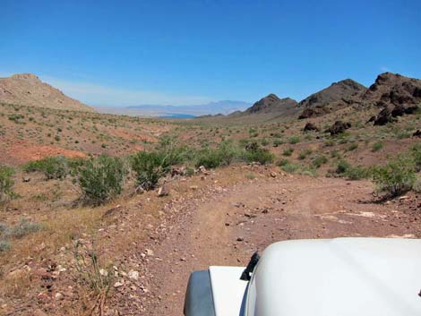
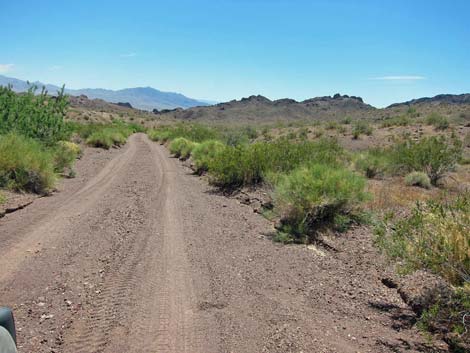
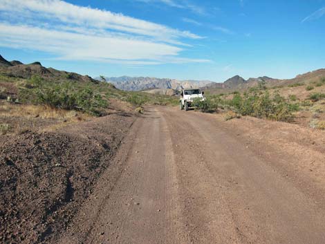
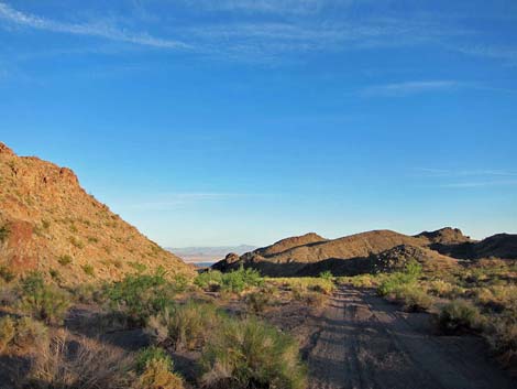
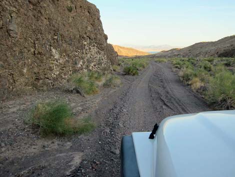
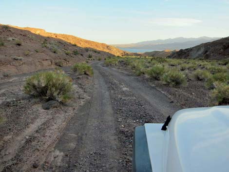
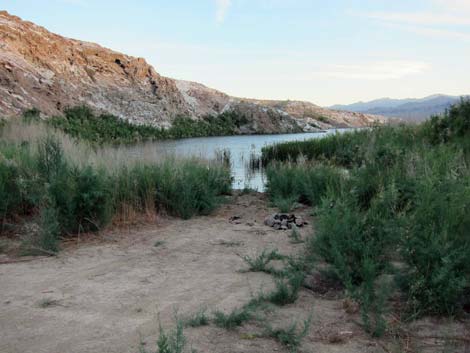
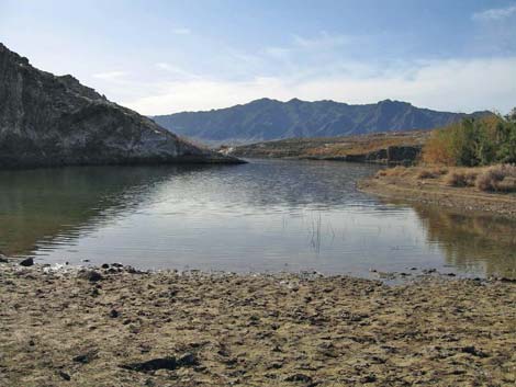
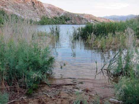
Beyond Miners Cove Wash, the nature of the road returns to a benign and gentle drive generally suitable for a carefully driven sedan -- too bad the wash blocks all but 4WD vehicles. The road climbs onto another low saddle at 4.7 miles out. Just over the saddle, a wide spot on the right provides trailhead parking (Site 1377) for the route to Hill 722T, a short hike to a knoll with grand views to the north and south. Beyond there, the road continues down the wash providing a pleasant drive through grand scenery and interesting geology all the way to Lake Mead. The actual end of the road depends on lake levels, but when water is receding, there can be a lot of brush near the lake, otherwise it can be an open shoreline. |
 |
 |
 Boathouse Cove Road at Boathouse Campground |
 Boathouse Campground |
 |
 |
 |
 |
 |
 |
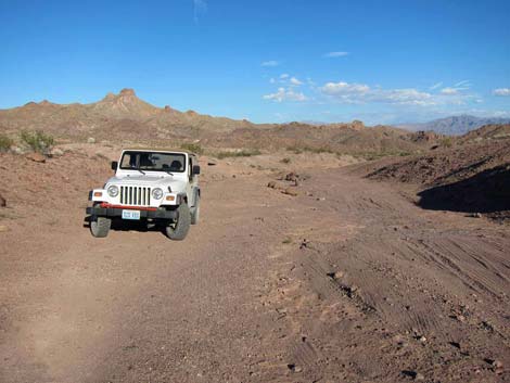
 Steep climb towards 1.7-Mile Saddle |
 Saddle (view south; ahead) |
 Saddle (view north; behind) |
 Descending into Cleopatra Wash |
 |
 |
 |
 |
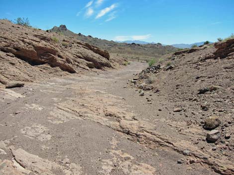
 Solid rock wash bottom |
 Solid rock wash bottom |
 |
 |
 Solid rock wash bottom (view SE) |
 2WD trailhead for Cleopatra Wash hike (view E) |
 Road at low pour-over beyond trailhead (view E) |
 Road exits wash to right, hikers continue down wash (view SE) |
 |
 |
 |
 |
 Road re-enters Cleopatra Wash (view E) |
 Deeper sand |
 Cleopatra Wash (view SE) |
 Road exits Cleopatra Wash to the right; hikers go left (view SE) |
 Climbing out of Cleopatra Wash (view S) |
 Descending towards Cleopatra Wash 4WD trailhead (view E) |
 Approaching Cleopatra Wash access road (view SW) |
 Cleopatra Wash access road (view NE) |
 Cleopatra Wash trailhead parking (view NE) |
 Start of Cleopatra Wash Primitive Campground (view SW) |
 |
 |
 |
 |
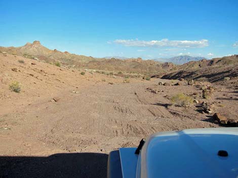
 Crossing over Mile 4.1 Saddle (view S) |
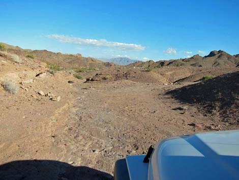
 Descending towards Miners Cove Wash |
 Crossing Miners Cove Wash Trailhead (4.4 miles out; view SW) |
 Beyond the rough patch (view SW) |
 One last bit of a bump (view SW) |
 Mile 4.7 Saddle and Hill 722T Trailhead parking (view SW) |
 |
 |
 |
 |
 |
 |
 |
 |
 Lake shore campsite |
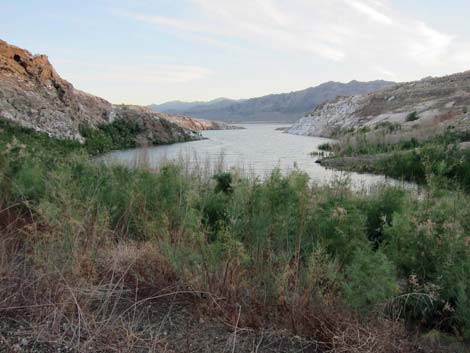 Lake Mead |
 Shoreline as the water recedes (May 2011) |
 Shoreline during rising waters (January 2006) |
 Shoreline |
 More to come ... |
Table 1. Highway Coordinates Based on GPS Data (NAD27; UTM Zone 11S). Download Highway GPS Waypoints (*.gpx) file.
| Site | Location | UTM Easting | UTM Northing | Latitude (N) | Longitude (W) | Elevation (ft) | Verified |
|---|---|---|---|---|---|---|---|
| 0513 | Boathouse Rd at Cleopatra Campground | 727642 | 4012757 | 36.23472 | 114.46701 | 2,004 | Yes |
| 0787 | Cleopatra Wash 4WD Trailhead Parking | 727859 | 4012947 | 36.23638 | 114.46455 | 2,001 | Yes |
| 0788 | Boathouse Rd leaves Cleopatra Wash | 727838 | 4013082 | 36.23760 | 114.46474 | 1,990 | Yes |
| 0789 | Northshore Rd at Boathouse Cove Rd | 726251 | 4015974 | 36.26402 | 114.48155 | 1,909 | Yes |
| 0947 | Boathouse Rd enters Cleopatra Wash | 727728 | 4013262 | 36.23924 | 114.46590 | 1,969 | Yes |
| 1230 | Boathouse Rd at 1.7-mile Saddle | 726503 | 4013919 | 36.24545 | 114.47933 | 2,293 | GPS |
| 1231 | Boathouse at Cleopatra 2WD Trailhead | 727358 | 4013334 | 36.23998 | 114.46999 | 2,044 | GPS |
| 1232 | Boathouse Rd exits Cleopatra Wash | 727431 | 4013305 | 36.23971 | 114.46920 | 2,038 | GPS |
| 1373 | Boathouse Rd at Cleopatra Access Rd | 727805 | 4012923 | 36.23618 | 114.46515 | 1,978 | GPS |
| 1374 | Boathouse Rd at 4.1-mile Saddle | 726970 | 4011332 | 36.22204 | 114.47490 | 2,219 | GPS |
| 1375 | Miner's Wash Trailhead Parking | 726886 | 4010968 | 36.21878 | 114.47594 | 2,169 | GPS |
| 1376 | Boathouse Rd at Miner's Wash | 726868 | 4010946 | 36.21859 | 114.47614 | 2,159 | GPS |
| 1377 | Boathouse Rd at 4.7-mile Saddle | 726500 | 4010620 | 36.21573 | 114.48032 | 2,257 | GPS |
| 1378 | Boathouse Rd at Lake Mead | 725669 | 4004531 | 36.16109 | 114.49131 | 1,130 | GPS |
| 1379 | Boathouse Rd at Boathouse Campground | 726938 | 4014706 | 36.25244 | 114.47427 | 2,112 | GPS |
| 1380 | Hill 722T Trailhead Parking | 726485 | 4010601 | 36.21557 | 114.48049 | 2,254 | GPS |
| 1381 | Boathouse Campground | 726929 | 4014683 | 36.25223 | 114.47438 | 2,155 | GPS |
Happy Hiking! All distances, elevations, and other facts are approximate.
![]() ; Last updated 240326
; Last updated 240326
| Backroads | Hiking Around Las Vegas | Glossary | Copyright, Conditions, Disclaimer | Home |