Backroads Around Las Vegas, Lake Mead National Recreation Area
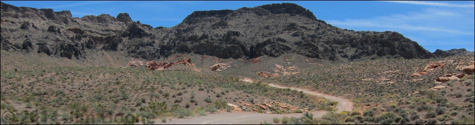
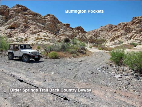
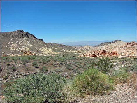
 Hwy 169 at Bitter Springs Trail Back Country Byway (view SE) |
Overview Bitter Springs Trail Back Country Byway, not to be confused with the Bittersprings Road (an NPS road off Northshore Road) is a 27-mile dirt road that runs between Valley of Fire Road (Highway 169) and Northshore Road in Lake Mead National Recreation Area. The road is long, rough, wild, and traverses grand scenery, but many parts are rocky and sandy, requiring 4WD vehicles and relatively slow speeds, especially at about 5-1/2 miles out. Bitter Springs Trail Back Country Byway provides access to the Colorock Quarry Area, Buffington Pockets, the Muddy Mountain Wilderness Area, Bitter Spring (an interesting birdwatching site), backcountry campsites, miles of BLM backroads, and various hiking routes. Link to map. |
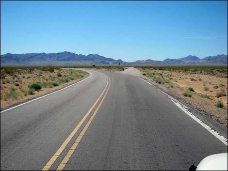
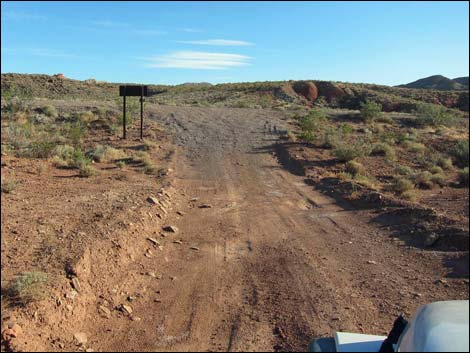
 First few yards are paved (view SE; mile 0.0) |
Watch Out Other than the standard warnings about driving in the desert, ...this is a fairly safe drive, but it runs into remote country and requires a sturdy 4WD vehicle with good tires to navigate rocks and deep, soft sand. While out, please respect the land and the other people out there, and try to Leave No Trace of your passage. This road is remote, so be sure to bring the 10 Essentials, plus things like extra water, extra food, sleeping gear (in case of being stuck out overnight), a shovel, tow rope, and perhaps a high-lift jack. Please stay on designated roads. |
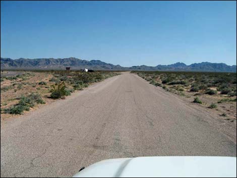
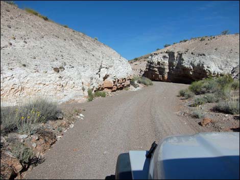
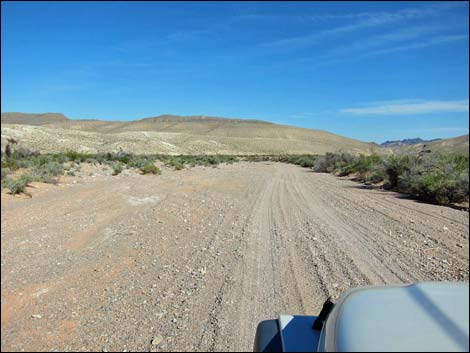
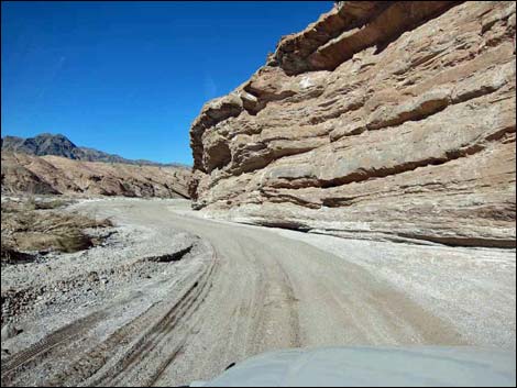
 Recently graded Byway (view SE; mile 1.3) |
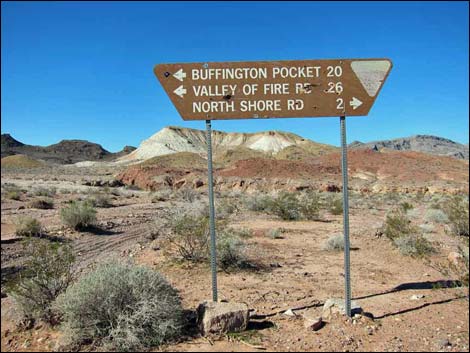
Getting to the Roadhead The Byway is located between Valley of Fire State Park (about 30 minutes north of Las Vegas) and Lake Mead National Recreation Area (about 1 hour east of Las Vegas). For the northwest end of the Byway, from Las Vegas, drive north on Interstate 15 for 33 miles to Exit 75E, the Valley of Fire State Park exit (Table 1, Site 1027). Turn right, pass the Indian Smoke Shop, and drive east on Highway 169 for about 3.2 miles total. When the highway bends hard to the left (Site 1028), continue straight onto Bitter Springs Trail Back Country Byway. For the southeast end of the Byway, from Las Vegas, drive out to Lake Mead National Recreation Area and drive east on Northshore Road. About 1 hour from town, turn left onto either the start of Bittersprings Road (Mile Marker 25.9) or the end of Bittersprings Road at Echo Wash (Mile Marker 33.3), as both are options at this end of the Byway. |
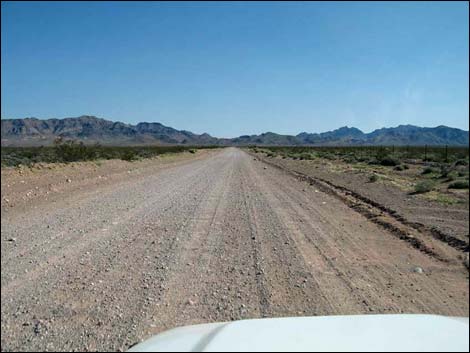
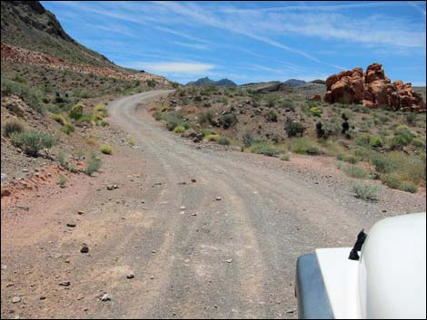
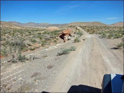
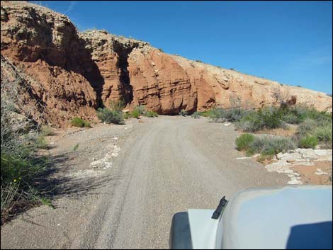
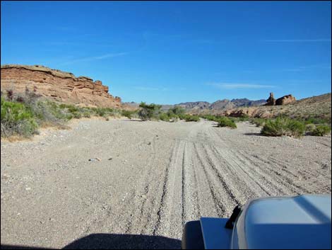
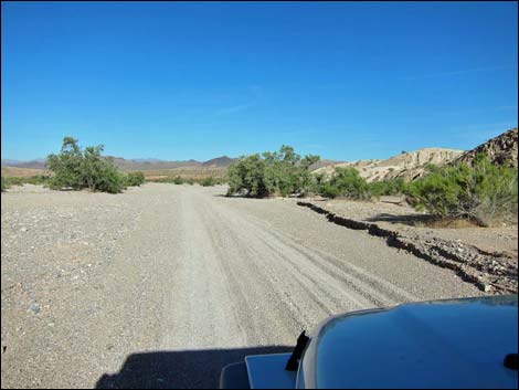
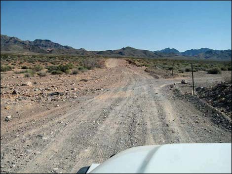 Byway at Colorock Quarry Road (view SE; mile 4.1) |
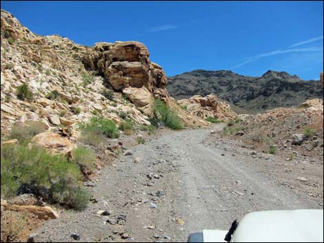
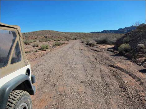
The Road From the pavement on Valley of Fire Road (Table 1, Site 1028), when the highway bends left, Bitter Springs Trail Back Country Byway continues straight. The byway is paved for a short distance, then becomes graded dirt. If it is still standing, watch for the "Muddy Mountains Wilderness Area" sign near the intersection. The Byway initially runs straight and mostly level, heading southeast. When graded, this can be a nice road, but it gets very washboarded. Some parts of this section can be pretty rocky, and people have created a parallel road on the south side that is useful when necessary. Other parts get washed out when water runs across the Byway. At about 0.6 miles out, the Byway passes an intersection with a road historically used for off-road races. There is a parking area on the right with information signs, and the road continues for miles in both directions. At 4.1 miles out, the Byway passes a signed road intersection (Site 1029). Here, the Colorock Quarry Road goes right, while the little-used road to the left returns to Highway 169. |
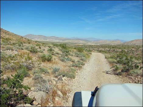
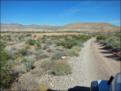
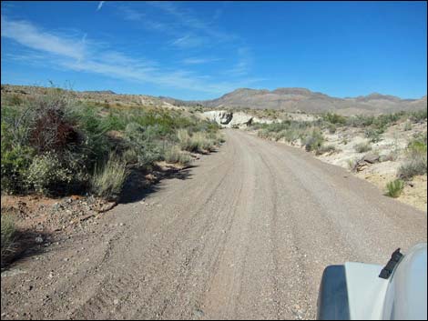
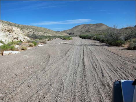
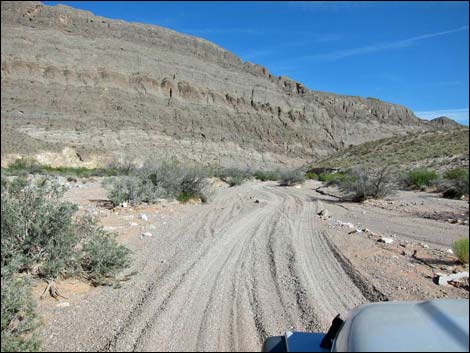
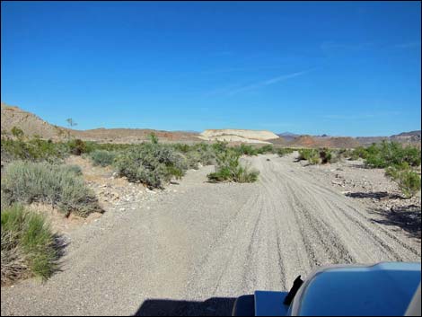
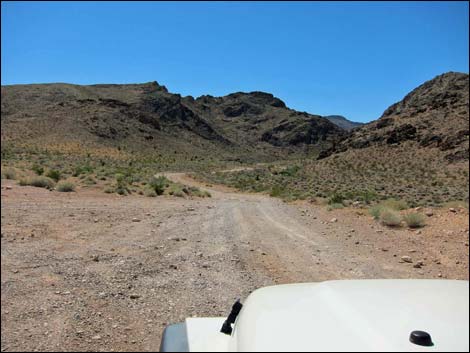 Byway at last road (at left) before mountains (view SE; mile 5.0) |
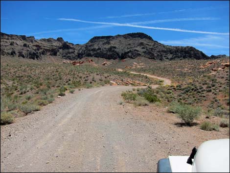
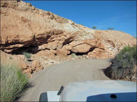
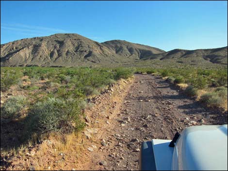
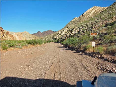
Continuing straight on the Byway, the road shortly climbs a little hill, bends a bit to the left, and runs atop a ridge still heading southeast. The Byway passes a minor road on the right, then at 5.1 miles out, passes a more heavily used road on the left (returns to Highway 169). Beyond that side road, the Byway finally hits the mountains when it drops into and crosses a wash. Bending to the south, the Byway enters a canyon following the wash upstream. In parts of this canyon, the road runs in the wash and can be quite washed out and rocky. The Byway winds up the canyon, and at about 5.8 miles out, passes a side road to the right that runs up against the cliffs to a traditional camping area. Continuing, the Byway bends to the left to head east and arrives at a short side road to the right with a parking area (6.0 miles out; Site 1138), which is Buffington Pockets, a well-known and popular petroglyph site. |
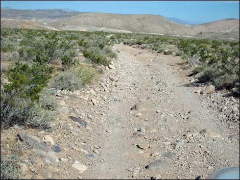
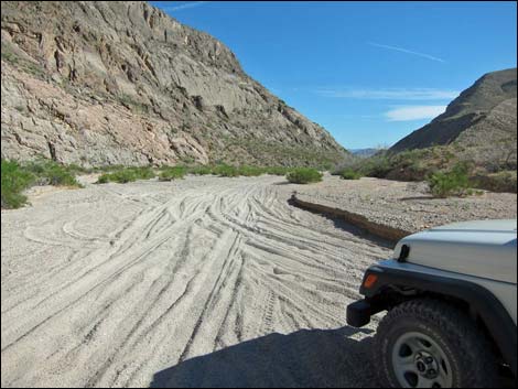
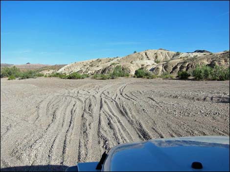
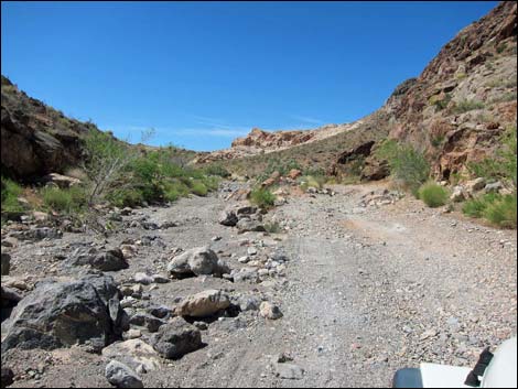 This wash-out area can get pretty bad (view S; mile 5.5) |
Beyond Buffington Pockets, the road continues up the wash, and at about 6.5 miles out, crosses the wash to the south and climbs onto the far hillside. As the Byway climbs towards the top of the ridge, several minor side roads fork off, but the main road usually is obvious. However, as the road crosses the ridgeline and starts down the other side, the Byway forks. Staying left drops quite quickly into the wash below, while staying right winds down more slowly. Either way, the forks quickly rejoin near the edge of a sandstone outcrop and drop into the wash at a point with another traditional campsite. The Byway continues southeast following washes and sidehills towards the highpoint at the head of the canyon (7.7 miles out). In this area, minor side roads fork off, but the main road remains obvious as it descends off the highpoint and bends right follow the next wash downhill. At about 8.0 miles out, the road exits the wash to the left crossing open desert hillsides in a valley sprinkled with domed sandstone outcrops. Look for traditional campsite around the outcrops. |
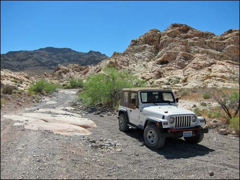 Byway at Buffington Pockets parking (view E; mile 6.0) |
The road passes a large dome on the left, then another on the right (with a side road right to more campsites), and shortly arrives at a small strip-mine site on the left (8.6 miles out). I don't know what was mined here, but the miners removed red sandstone overburden, leaving what looks like a red-mud quarry. Beyond the quarry, the condition of the road changes considerably. To this point, the road has been relatively wide and may have been graded in the past. Beyond the mine, the Byway is much more of a backroad and even a two-track in places. Beyond the quarry, the Byway runs up a valley following the wash. Three side roads fork off and climb onto the ridgeline on the right, leading into a network of old roads associated with an abandoned mining area. Staying left at forks in the wash, the Byway eventually climbs onto a ridgeline at the head of the valley (9.3 miles out). Here, at what is the crest of the Muddy Mountain Range, another mine road forks off to the right. |
 Buffington Pockets parking (view S; mile 6.0) |
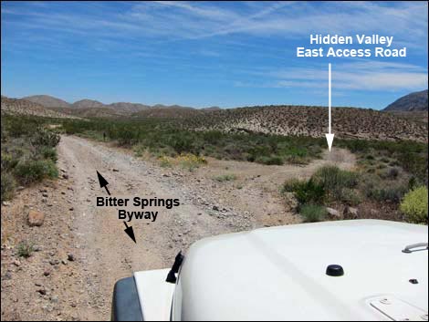
Staying left and descending into the next valley, which now is the edge of Bitter Springs Valley, the road forks (9.4 miles out). Here, the left fork drops steeply down the hillside, while the right descends more gradually, and by 9.5 miles out, the two forks rejoin. The Byway continues to drop across the hillside, staying left as more mine roads fork off to the right. On the hillside to the right is the main part of the old mine. The Byway descends the wash past the mine, then climbs out of the wash to the left at a narrow rocky spot to bypass a pour-over (10.0 miles out). The road climbs out of the wash, again to the left to avoid a second pour-over (10.1 miles out), and climbs over the low ridge to the left. Descending the next wash, a little-used road forks off to the right (Site 1139; 10.3 miles out). This road runs south 0.1 miles into a wash, then turns right to follow the wash upstream 0.9 miles, ending at the Hidden Valley East Trailhead parking area (Site 1140). |
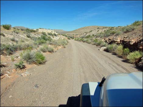
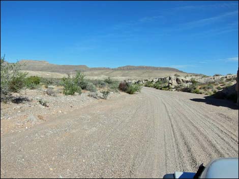
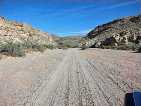
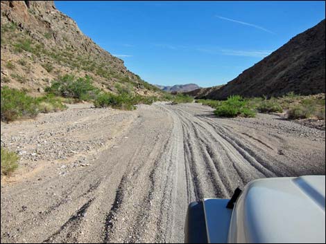
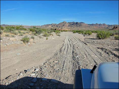
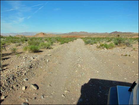
 Bitter Springs Trail Back Country Byway (mile 6.3) |
Beyond the side road, the Byway continues across the hillside until it drops into the wash again. Shortly, the Byway climbs out of the wash to the left, this time leaving washes behind for several miles. The Byway runs down the valley parallel to the wash. Eventually the Byway bends to the right and crosses the broad, sandy wash. On the other side of the wash, the Byway again parallels the wash until again crossing it to the left side. Across the wash, the road forks (Site 1145; 11.6 miles out). Here, the Byway turns left to climb the hillside running northwest (seemingly in the wrong direction), where the road runs across bumpy high country for several miles. The road to the right, in contrast, runs down the smooth, sandy wash for several miles. The two routes eventually rejoin, so drivers must choose whether to stick with the bumpy official Byway or drive down the possibly illegal, but much nicer wash. |
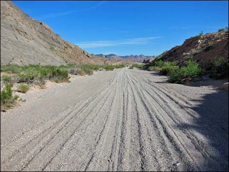
 Bitter Springs Trail Back Country Byway (mile 7.5) |
Staying on the official Byway, the road turns northwest and climbs the rocky hillside. The Byway passes a side road to the right (11.8 miles out) and continues northwest to cross over a broad saddle where another road forks off to the left (12.2 miles out). Here, the Byway bends hard to the right and starts off across hillsides staying along the base of the hills. Eventually the road bends right (12.8 miles out) and starts out across the broad valley running over low hills, along low ridges, and across gravel washes generally trending northeast. At minor side roads, the Byway continues straight. At about 13.5 miles out, the Byway bends left to drop and cross a broad wash. Climbing out the other side, the Byway bends right to start running southeast. The Byway generally runs southeast along low ridges, again passing minor side roads always trending straight ahead, although twice the road forks briefly where people bypassed roadway difficulties. At about 16.1 miles out, the road quickly drops into a narrow canyon and begins to follow the sandy wash downstream. |
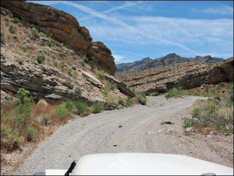
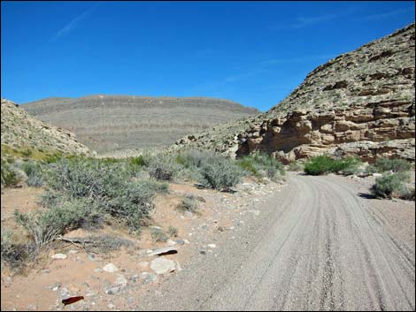
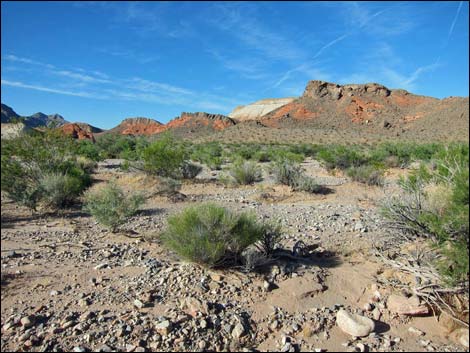
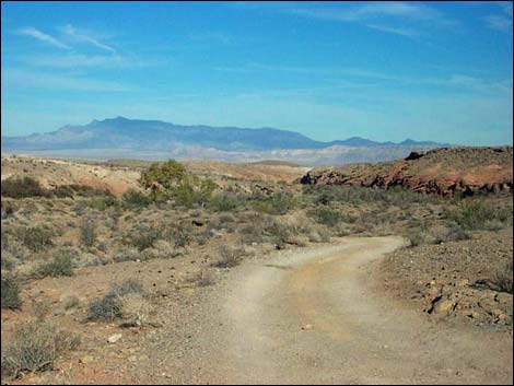
 Scenery (view W; Mile 7.4) |
The Byway follows this narrow and scenic canyon on a roadway that is smooth and sandy, a nice change from the last several miles. The canyon is not particularly deep, but it is narrow, winding, and colorful. At about 16.6 miles out, a fairly well-used road climbs out of the wash to the right and heads south a couple of miles. Continuing down the canyon, a number of minor roads fork off, but the Byway always stays in the main wash. Farther down, the wash widens and becomes braided in the bottom of the canyon, but so long as drivers are heading downhill, they are going the right way. At about 19.3 miles out, the narrow canyon opens into a broad canyon facing the West Longwell Ridge, and at about 19.7 miles out, the wash joins the main wash coming down from the north at the base of West Longwell Ridge. Still heading downstream, the Byway follows along the base of West Longwell Ridge through a fairly deep and narrow canyon. |
 Scenery (view N; Mile 7.4) |
When the canyon opens onto Bitter Springs Valley (21.1 miles out), the wash widens and becomes more braided, but still heading downstream in the wash, it is easy to bypass minor side roads exiting both sides of the wash. At about 22.1 miles out, three major washes merge (Site 1146). For drivers who chose the smooth, sandy wash route back at Mile 11.6, this is where the two route rejoin. Still running downstream, the Byway continues in the broad, branded wash. At 23.1 miles out, another major wash joins from the right, and as the washes pass beneath a white-mud hill, the Byway exits the wash to the right and runs east parallel to the wash. For drivers who miss the turn, it is okay because shortly they will hit the top of a high pour-over. Turning right, drivers quickly return to the Byway. |
 Bitter Springs Trail Back Country Byway (mile 8.3) |
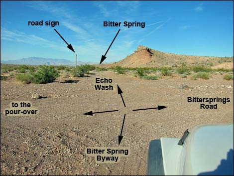
The Byway hits a wash the crosses the road (23.6 miles out) from the right, opposite from the high pour-over, and here, the Bitter Springs Trail Back Country Byway merges with Bittersprings Road (Site 0657; NPS Road #101). The intersection is signed, and at this point, drivers must decide which way to finish their backroad adventure. Drivers can turn right and drive 3.4 miles south and up the bajada to Northshore Road. This road runs on firm ground and is a bit bumpy but fairly easy to drive. For details of this road, see Bittersprings Road. Alternatively, drivers can continue east on Bittersprings Road, now driving down Echo Wash. At about 23.9 miles out, the road passes Bitter Spring (Site 0658), on the left. This is a fragile desert ecosystem, so the road hugs the wall of the canyon until below the main springs area, although in some years, water flows farther down the canyon. Signs ask drivers to stay out of the main spring area. |
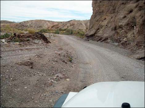
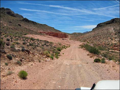 Approaching the red-mud quarry (view S; mile 8.5) |
Continuing down the canyon, the wash is sandy, but some parts are firm. At about 25.2 miles out, the road passes boundary signs and enters Lake Mead National Recreation Area. Winding down the deep and narrow canyon, Northshore Road eventually comes into view high on the right, and at 26.3 miles out, a side road to the right leads 100 yards to the pavement (Site 0660). The intersection is signed, but if drivers miss the turn, they will shortly drive under Northshore Road, a good clue to turn around. Whether ending the adventure by driving up Bittersprings Road or by driving down Echo Wash, return to Las Vegas by turning right onto the paved Northshore Road. From Echo Wash, drive 33.3 miles south and west, or from Bittersprings Road drive 25.9 miles west, on Northshore Road until it dead-ends into Lakeshore Road. Turn right onto Lakeshore Road, drive past the Lake Mead fee station, and continue over the hills into the Henderson and the Las Vegas Valley. |
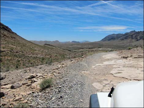 Crossing a ridge (view S; Mile 9.3) |
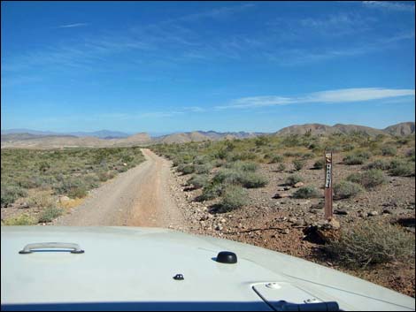
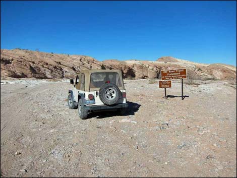
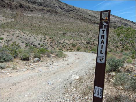 Typical carsonite road marker (view SE; mile 9.7) |
 Bitter Springs Trail Back Country Byway (mile 9.9) |
 Turnoff to Hidden Valley East Trailhead (view SE; mile 10.3) |
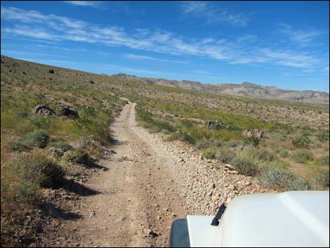
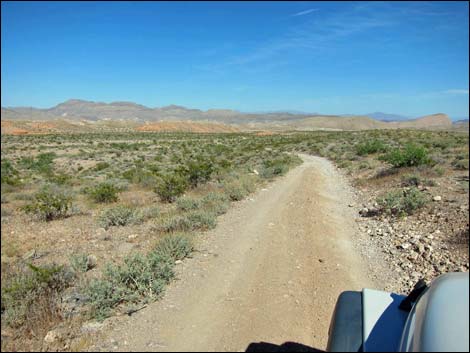
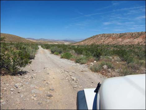 Bitter Springs Trail Back Country Byway (view E; mile 11.0) |
 Bitter Springs Trail Back Country Byway (view E; mile 12.2) |
 Bitter Springs Trail Back Country Byway (view N; mile 12.4) |
 Bitter Springs Trail Back Country Byway (view NE; mile 12.6) |
 Bitter Springs Trail Back Country Byway (view NE; mile 13.4) |
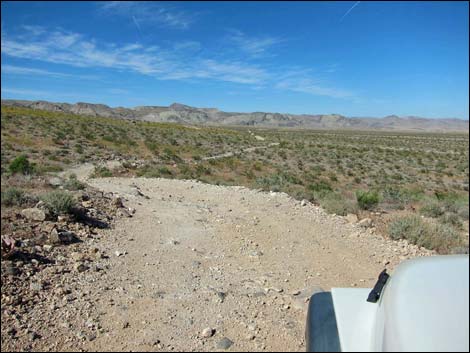
 Bitter Springs Trail Back Country Byway (view SE; mile 13.8) |
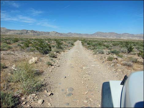
 Bitter Springs Trail Back Country Byway (view SE; mile 14.6) |
 Bitter Springs Trail Back Country Byway (view SE; mile 15.2) |
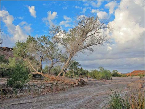
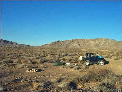 Traditional campsite |
 Bitter Springs Trail Back Country Byway (view SE; mile 15.8) |
 End of the bumpy road (view SE; mile 16.1) |
 In the wash (view SE; mile 16.2) |
 Bitter Springs Trail Back Country Byway (view NE; mile 16.3) |
 Bitter Springs Trail Back Country Byway (view E; mile 16.4) |
 Bitter Springs Trail Back Country Byway (view NE; mile 16.8) |
 Bitter Springs Trail Back Country Byway (view NE; mile 17.2) |
 Bitter Springs Trail Back Country Byway (view NE; mile 17.5) |
 Bitter Springs Trail Back Country Byway (view NE; mile 17.8) |
 Bitter Springs Trail Back Country Byway (view S; mile 18.1) |
 Bitter Springs Trail Back Country Byway (view SE; mile 18.7) |
 Bitter Springs Trail Back Country Byway (view SE; mile 18.9) |
 Bitter Springs Trail Back Country Byway (view SE; mile 19.4) |
 Bitter Springs Trail Back Country Byway (view S; mile 19.7) |
 Bitter Springs Trail Back Country Byway (view S; mile 20.2) |
 Bitter Springs Trail Back Country Byway (view S; mile 20.4) |
 Bitter Springs Trail Back Country Byway (view SE; mile 20.8) |
 Bitter Springs Trail Back Country Byway (view SE; mile 21.2) |
 Bitter Springs Trail Back Country Byway (view SE; mile 22.1) |
 Roadside scenery (view NE; mile 22.6) |
 Bitter Springs Trail Back Country Byway (view SE; mile 23.0) |
 Byway crosses wash to white hill (view SE; mile 23.1) |
 Bitter Springs Trail Back Country Byway (view E; mile 23.2) |
 Byway at Bittersprings Road (view E; mile 23.6) |
 Road sign at end of Bittersprings Road (view N; mile 23.6) |
Exit southbound via Bittersprings Road to Northshore Road
 Bittersprings Road (view S from Byway intersection; mile 23.6) |
 Bittersprings Road (view S) |
 Bittersprings Road at Lake Mead NRA boundary (view S) |
 Bittersprings Road at Northshore Road (view S) |
Exit eastbound via Echo Wash to Northshore Road
 Approaching Bitter Spring (view NE; mile 23.8) |
 Bitter Spring (view W) |
 Passing Bitter Spring (view NE; mile 24.0) |
 Bitter Springs Trail Back Country Byway (view N; mile 25.1) |
 Lake Mead boundary (view N; mile 25.2) |
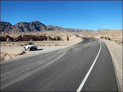 Byway at Northshore Road (view N; mile 26.3) |
Table 1. Highway Coordinates Based on GPS Data (NAD27; UTM Zone 11S). Download Highway GPS Waypoints (*.gpx) file.
| Site | Location | UTM Easting | UTM Northing | Latitude (N) | Longitude (W) | Elevation (ft) | Verified |
|---|---|---|---|---|---|---|---|
| 0656 | Northshore Rd at Bittersprings Rd | 721481 | 4013565 | 36.24343 | 114.53528 | 2,139 | Yes |
| 0657 | Bittersprings Rd at Echo Wash Rd | 723000 | 4017961 | 36.28267 | 114.51713 | 1,673 | Yes |
| 0658 | Bitter Spring | 723366 | 4018239 | 36.28510 | 114.51299 | 1,670 | Yes |
| 0660 | Northshore Rd at Echo Wash Rd | 725514 | 4020768 | 36.30737 | 114.48835 | 1,444 | Yes |
| 1028 | Hwy 169 at BS Byway | 702935 | 4037290 | 36.46123 | 114.73533 | 2,129 | Yes |
| 1029 | BS Byway Truck Race Rd | 705562 | 4031276 | 36.40649 | 114.70763 | 2,490 | Yes |
| 1138 | BS Byway at Buffington Pocket | 707192 | 4029039 | 36.38599 | 114.69006 | 2,751 | Yes |
| 1139 | BS Byway at Hidden Valley East Rd | 708911 | 4024398 | 36.34381 | 114.67215 | 2,939 | Yes |
| 1140 | Hidden Valley East Parking | 707674 | 4023981 | 36.34033 | 114.68604 | 3,049 | Yes |
| 1145 | BS Byway at Bitter Spr Alt West | 710671 | 4023518 | 36.33550 | 114.65280 | 2,755 | Yes |
| 1146 | BS Byway at Bitter Spr Alt East | 720883 | 4018503 | 36.28804 | 114.54053 | 1,837 | Yes |
| 1385 | Bittersprings Rd at Echo Wash Rd | 725413 | 4020780 | 36.30751 | 114.48947 | 1,431 | Yes |
| 1386 | Bittersprings Rd at Lake Mead Bndry | 724845 | 4019373 | 36.29496 | 114.49621 | 1,565 | Yes |
Happy Hiking! All distances, elevations, and other facts are approximate.
![]() ; Last updated 240326
; Last updated 240326
| Backroads | Hiking Around Las Vegas | Glossary | Copyright, Conditions, Disclaimer | Home |