Hiking Around Las Vegas, Hiking Lake Mead NRA
 Boathouse Road (trailhead parking at left; view S) |
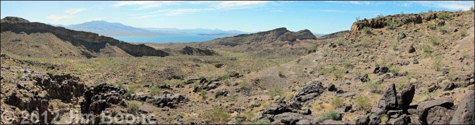
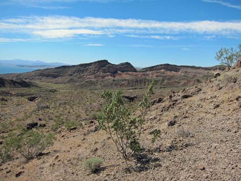
Overview Miners Cove Wash Overlook is a great hike that runs about 3.3 miles round-trip into the Jimbilnan Wilderness Area. The route follows Miners Wash southeast through a gap in the Black Mountains to an overlook with grand views out over Miners Cove, Lake Mead, and the Gold Butte Region across the lake. Much of the walking is easy, the canyons are deep, the cliffs are high, and the scenery is grand, making this one of the better short hikes in the Northshore area, but it takes a high-clearance vehicle to get there, and 4WD would be better. Link to area map or hiking map. |
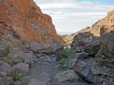
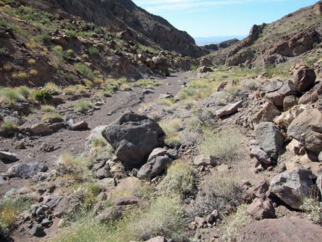
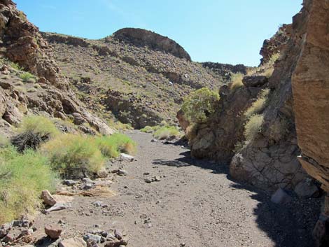
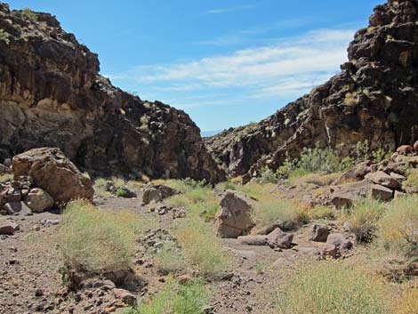
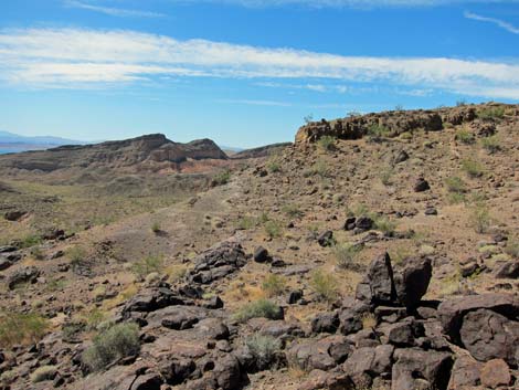
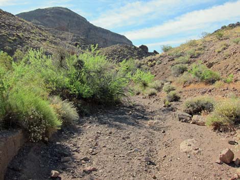 Starting down Miners Wash (view SE) |
Watch Out Other than the standard warnings about hiking in the desert, ...this hike is fairly safe. There is nothing unusually dangerous about this route, but the region is remote, so be careful. Hikers could fall off the overlook, so watch your step close to edges. A high-clearance vehicle is required to drive down Boathouse Cove Road, but a 4WD would be better. While hiking, please respect the land and the other people out there, and try to Leave No Trace of your passage. This hike is in the Jimbilnan Wilderness Area, so pay particular attention to respecting the land. This hike runs off-trail where nobody will find you, so be sure to bring the 10 Essentials. Cell phones do not work. |
 |
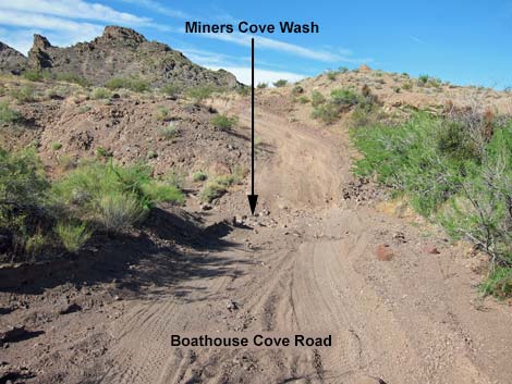
Getting to the Trailhead This hike is located in Lake Mead National Recreation Area, about 1-1/2 hours east of Las Vegas in the Northshore area. From town, drive out to Lake Mead, then drive north on Northshore Road for 30.0 miles to Boathouse Cove Road. Turn right on Boathouse Cove Road and drive 4.4 miles to a wide spot on the left side of the road just before the road crosses the deep, steep-sided Miners Cove Wash. Park here; this is the trailhead. 4WD is required to cross the wash. |
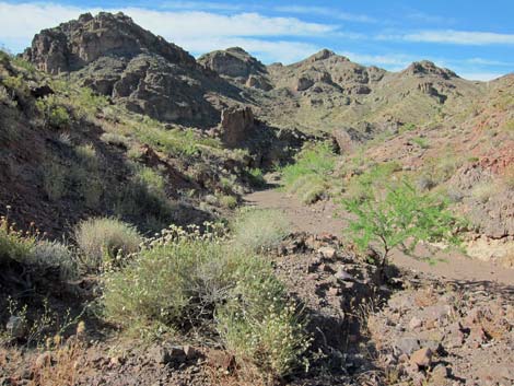 |
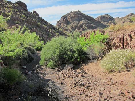
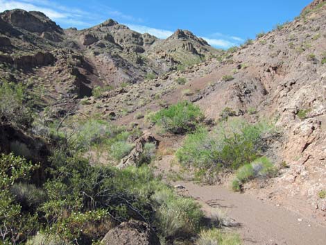
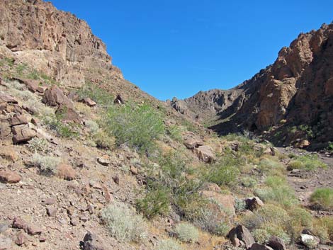
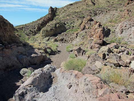
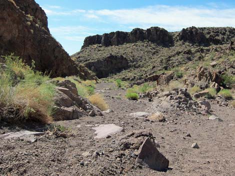
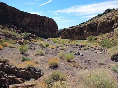
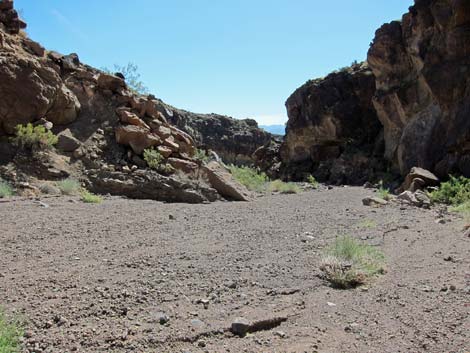
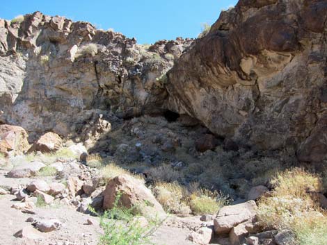
The Hike From the trailhead (Table 1, Waypoint 01), the route runs south a few yards on Boathouse Cove Road into Miners Wash. Turning downstream, the narrow wash runs between rocky walls with lots of catclaw acacia and other shrubs pressing in and impeding progress in a few places. Shortly, the wash opens, the walking is easy, and the mountains get higher the farther one hikes down the wash. The wash eventually bends to the east around the toe of the high ridge, and the sides of the wash begin to form cliffs. |
 |
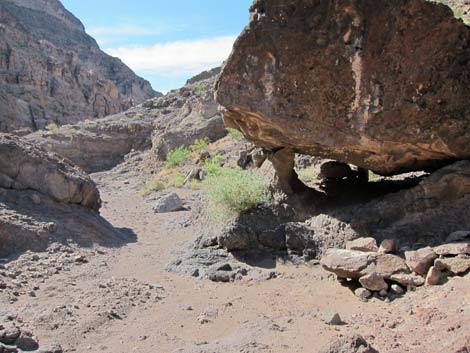
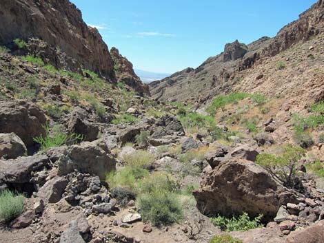
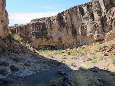
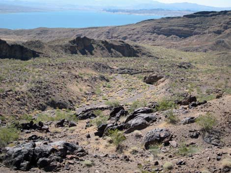
Eventually the narrow walls pinch in and suddenly the sandy floor of the wash falls away. The view is pretty good from the top of the pour-over, but by stepping back a few yards, the route climbs out of the wash on the south (right facing downstream) wall. Climbing out of the wash, the route circles around cliffs and runs a short distance to an overlook. This is a nice place to sit in the sun, relax, enjoy a light lunch, and enjoy the scenery spreading out to the east. When sufficiently refreshed, follow your footprints back to the trailhead. Alternatively, hikers could continue to Miners Cove, or make a long loop by hiking down and then back up Manganese Wash to the road, then following the road back to the trailhead. |
 |
 |
 |
 |
 |
 |
 |
 |
 |
 |
 |
 |
 |
 |
 |
 |
 |
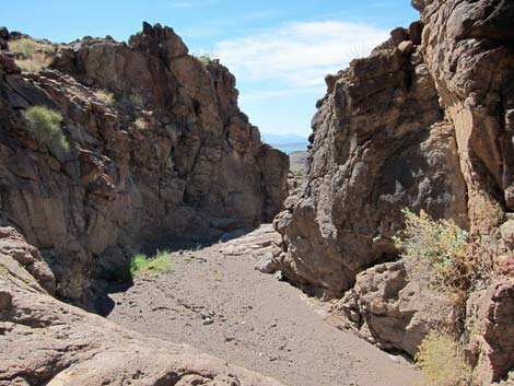 |
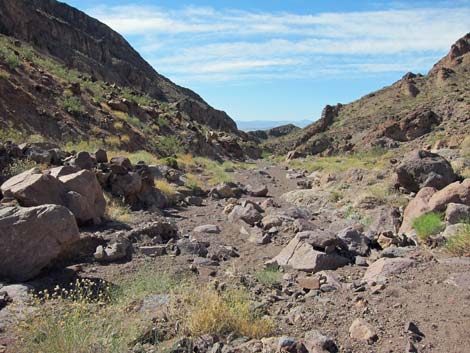
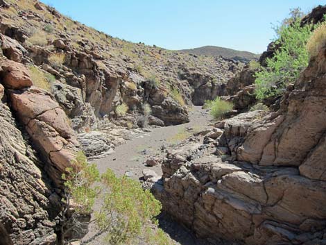
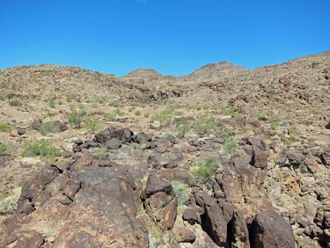
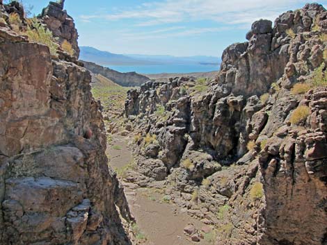 Miners Wash (view from pour-over) |
 Miners Wash (view from above pour-over) |
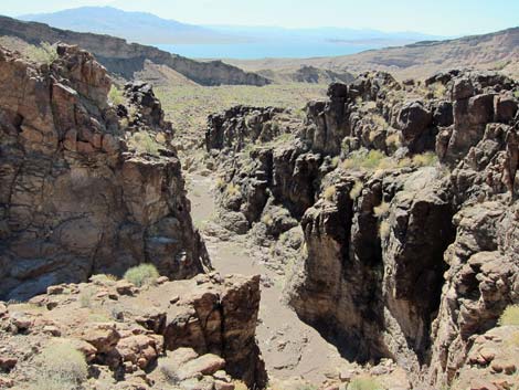
 Overlook (view back into canyon and pour-over) |
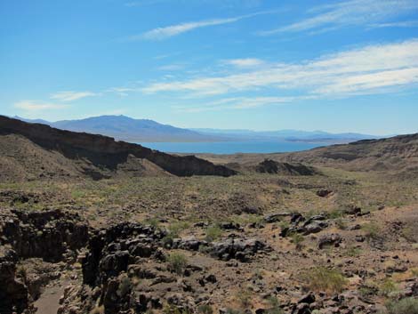 Overlook (view E towards Lake Mead and Gold Butte) |
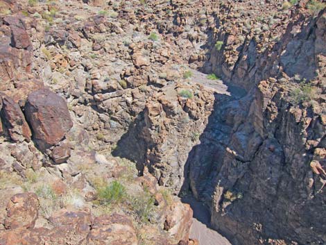
 Overlook (view SE towards Manganese Wash) |
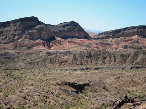
 Overlook (view N) |
 Overlook (view SE) |
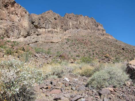
 Overlook (view S) |
 Overlook (view S) |
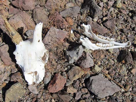 Bighorn sheep skull along the wash |
Table 1. Hiking Coordinates Based on GPS Data (NAD27; UTM Zone 11S). Download Hiking GPS Waypoints (*.gpx) file.
| Wpt. | Location | UTM Easting | UTM Northing | Elevation (ft) | Point-to-Point Distance (mi) | Cumulative Distance (mi) | Verified |
|---|---|---|---|---|---|---|---|
| 01 | Trailhead | 726886 | 4010968 | 2,170 | 0.00 | 0.00 | GPS |
| 02 | Boathouse Rd at Miners Wash | 726868 | 4010946 | 2,159 | 0.00 | 0.02 | GPS |
| 03 | Pour-Over | 728119 | 4009476 | 1,590 | 0.00 | 1.58 | GPS |
| 04 | Miners Cove Overlook | 728145 | 4009414 | 1,598 | 0.00 | 1.66 | GPS |
| 01 | Trailhead | 726886 | 4010968 | 2,170 | 0.00 | 3.32 | GPS |
Happy Hiking! All distances, elevations, and other facts are approximate.
![]() ; Last updated 240326
; Last updated 240326
| Hiking Wilderness | Hiking Lake Mead | Hiking | Glossary | Copyright, Conditions, Disclaimer | Home |