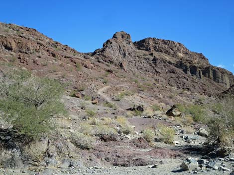
Washes Route, Uphill
Hiking Around Las Vegas , Lake Mead National Recreation Area
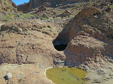
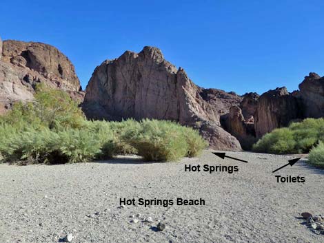 Hot Springs Beach (view E from the edge of the Colorado River) |
Due to extreme temperatures, this area is closed during summer (usually May 15 to September 30). Link to details (PDF). Overview In addition to the Regular Route (White Rock Canyon) to Arizona Hot Spring, two other good routes lead down Hot Spring Canyon to the hot spring. The first, Hot Spring Canyon--Washes Route, is longer (2.8 miles) and easier, but requires climbing past several pour-overs, including one that is 30-ft high and 4th-class. The second, Hot Spring Canyon--Mountains Route, is shorter (2.2 miles) and steeper, but avoids the climbing. Described here, is the Hot Spring Canyon--Washes Route from Hot Springs Beach to the Hot Spring and on up to White Rock Trailhead. For some hikers, this is just the return route, but for others it is a way to make a nice loop: down White Rock Canyon and up Hot Spring Canyon, or down Hot Spring Canyon via the Mountains Route and back up the Washes Route. Link to map or elevation profile. |
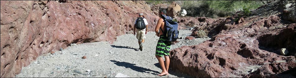
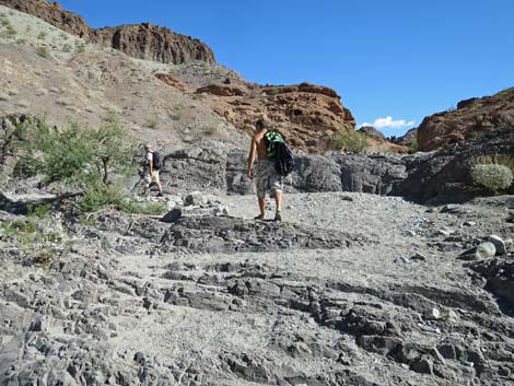
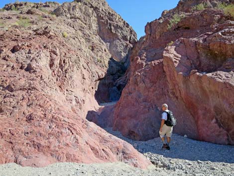
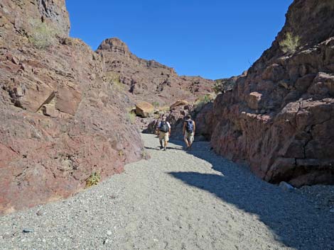
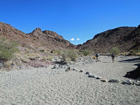
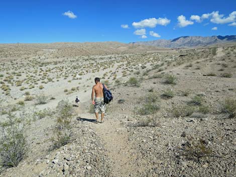
 Hikers starting towards the hot pools (view E) |
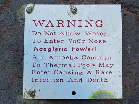
Watch Out Because of extreme summer temperatures, more and more hikers were being rescued from this area in the early 2010s, and some even died. The extreme temperatures also put the lives of rescue personnel at risk, and therefore, the National Park Service closes this area during summer. Other than the standard warnings about hiking in the desert, ...the washes route is a fairly easy hike punctuated by three exciting pour-overs to climb. Most people probably would prefer a rope for the final, 30-ft climb. At the hot springs, be careful walking on wet rocks after you've picked up sand on the bottom of your boots. Because of past law suits, the Park Service posts signs warning about Naegleria fowleri, a bacterium present in warm waters like home hot tubs and hot springs. While this bacterium may be present here, it is not the extreme hazard it is made out to be by hysterical parties. It is, however, a good idea to keep your nose dry while in the hot pools. |
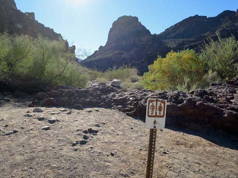 Detour right to the toilets (view S) |
While hiking, please respect the land and the other people out there, and try to Leave No Trace of your passage. Also, this is a moderately long hike in a remote area, so be sure to bring the 10 Essentials. Be sure that you are physically fit and that you choose routes of the appropriate difficulty for your skills and endurance. In recent years, water at the hot spring has become contaminated with Escherichia coli (E. coli), human fecal bacteria, because people in need walk upstream from the hot pools and poop. Don't do this; it is gross, and feces will wash down into the hot pools. Use the vault toilets at the beach. |
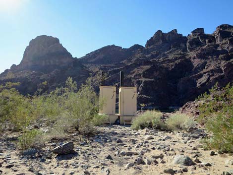 Toilets: use them now if you need them (view S) |
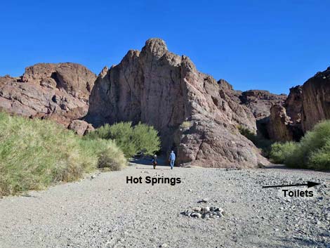
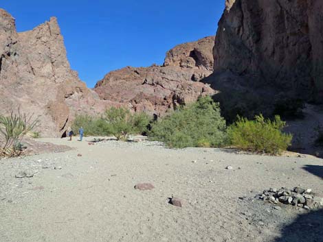
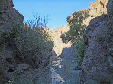
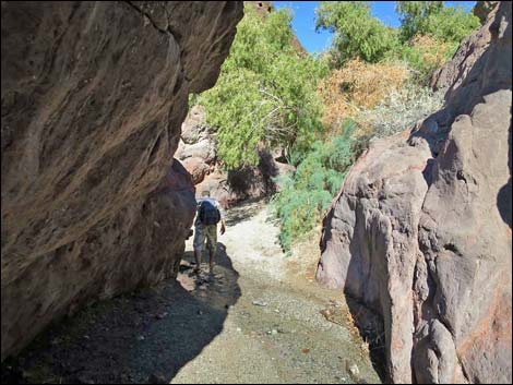
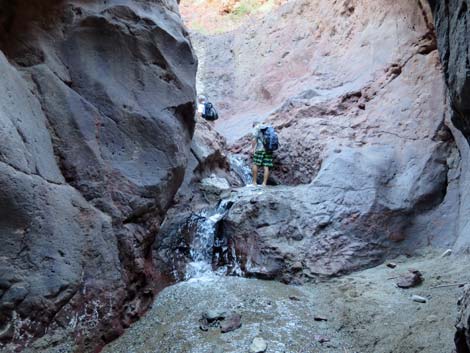
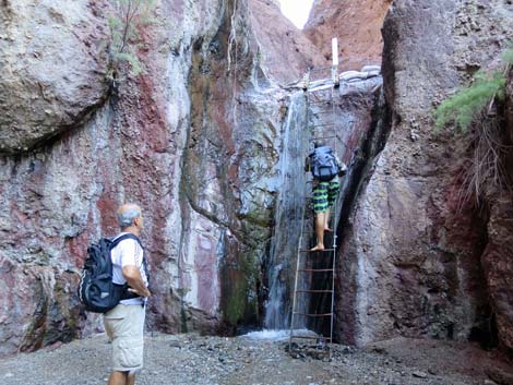
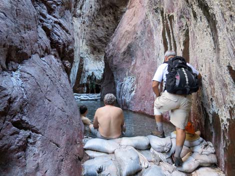
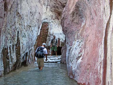
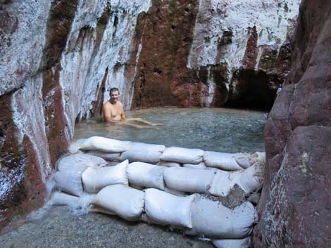
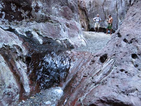
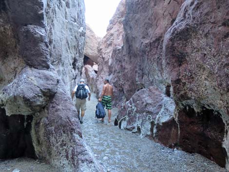
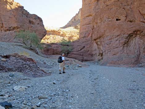
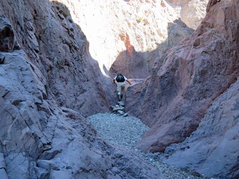
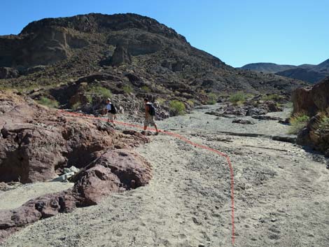
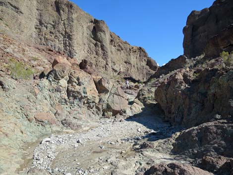
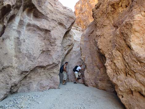
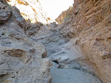
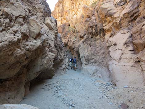
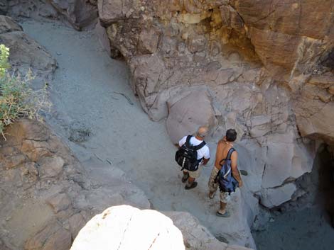
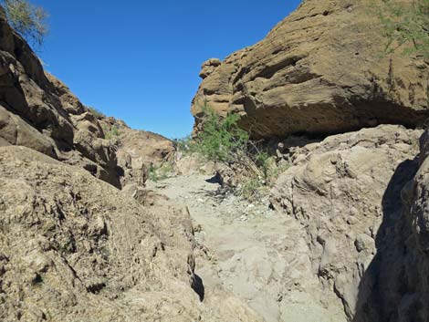
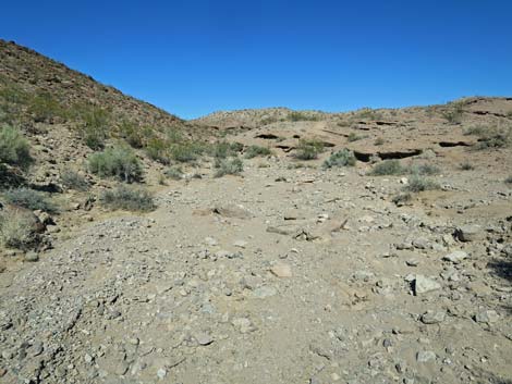
The Hike From Hot Spring Beach (Table 1, Wpt. 24), footprints in the sand lead east towards the cliffs. The obvious cleft in the cliffs straight ahead is not the route, but to the right of the cleft hikers will find vault toilets, and to the left of the cleft, hikers will find the entrance to Hot Spring Canyon. As the canyon narrows, hikers will pass another cleft in the left wall (Wpt. 11) where the White Rock Canyon Route enters Hot Spring Canyon. Farther along, warm water begins to flow, and before long hikers are scrambling up low waterfalls. Soon, however, all passage would be blocked were it not for a tall metal ladder anchored against the wall of a waterfall. After climbing the ladder, hikers arrive at a series of hot pools created by damming the creek with sandbags. The uppermost of the hot pools (Wpt. 12) is the hottest, but this entire place is nice for sitting, soaking in the hot water, meeting interesting people, and just relaxing in this special place. |
 Hikers starting into the narrow canyon (view NE) |
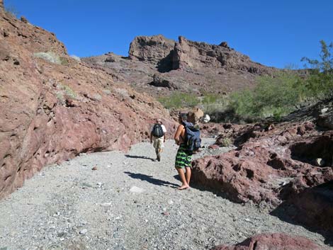
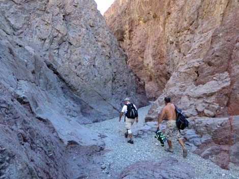
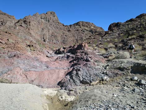
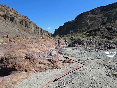
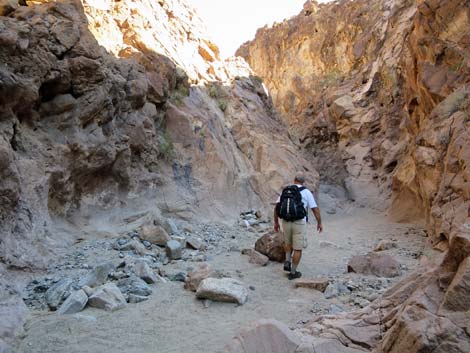
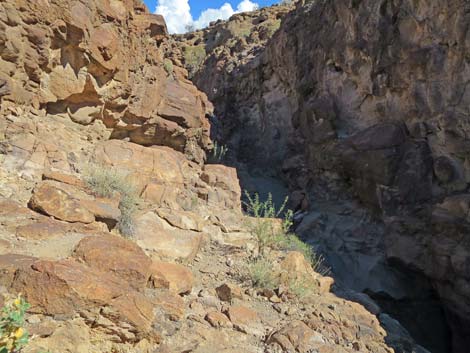
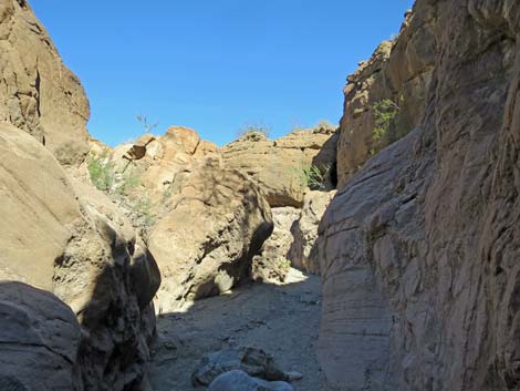
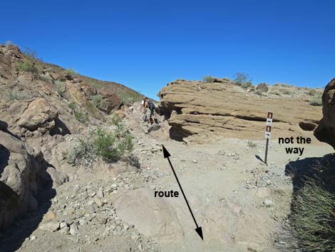
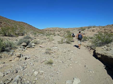
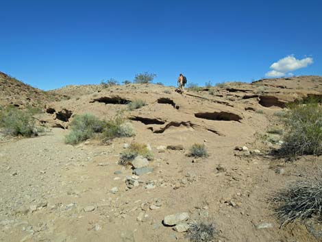
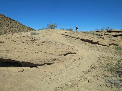
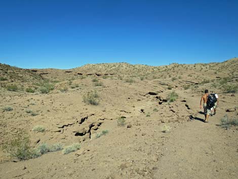
Above the hot pools, the canyon remains narrow for only a few yards, and then hikers emerge from a narrow slot into a wide area with a cottonwood tree and mesquite thickets. For most of the remaining hike out, the wash is open and sandy, but plenty of shade can be found along the canyon walls. At about 0.9 miles above the hot springs, at a wide spot in the canyon, the use-trail (Wpt. 23) for the Mountains Route can be seen exiting the wash to the left. Look for cairns or even a line of rocks stretching across the wash. For hikers who don't want to climb the pour-overs, this is the escape route. Continuing up Hot Spring Canyon, the canyon runs straight, then bends to the right and arrives at a major confluence (Wpt. 14; about 0.2 miles from the trail junction), although it would be easy to overlook the confluence because of the lay of the land. Here, the North Fork of Hot Spring Canyon turns left to head northeast while the main canyon (the South Fork of Hot Spring Canyon) continues south. Judging from footprints in the wash, it appears that many hikers get confused here and miss the turn into the North Fork. |
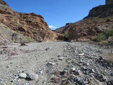
 Warm water starts to flow (view NE) |
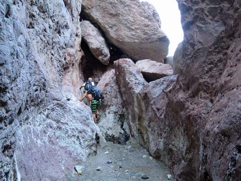
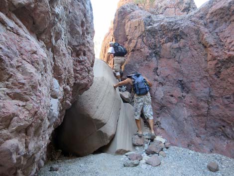
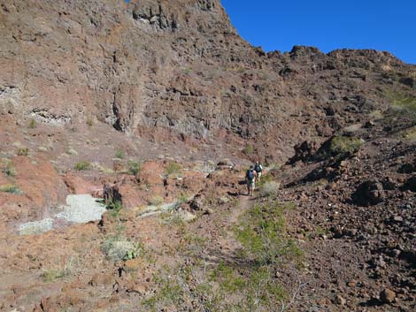
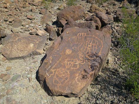
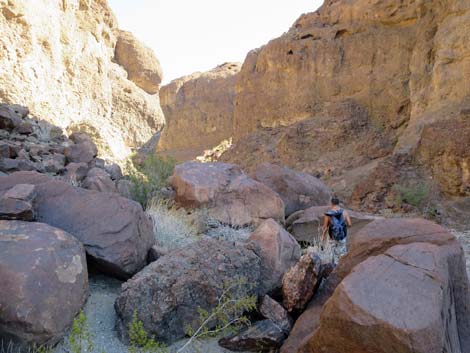
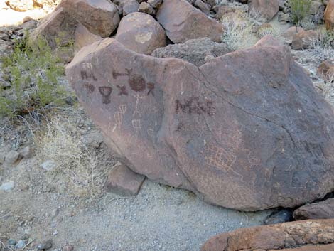
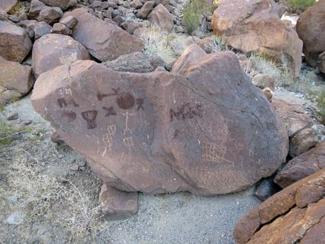
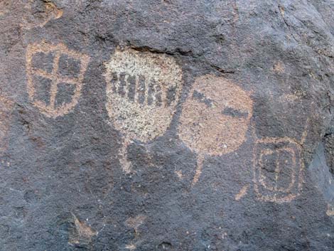
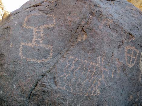
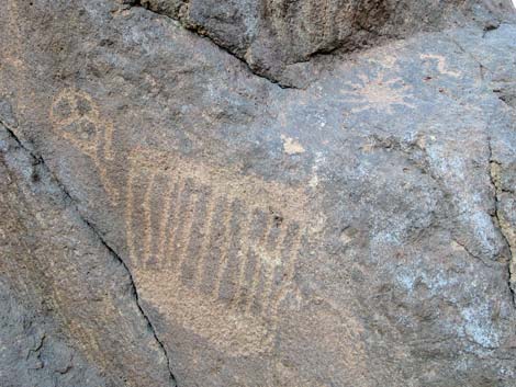
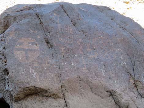
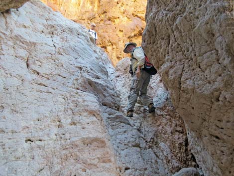
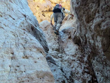
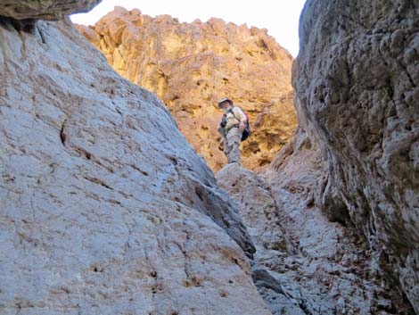
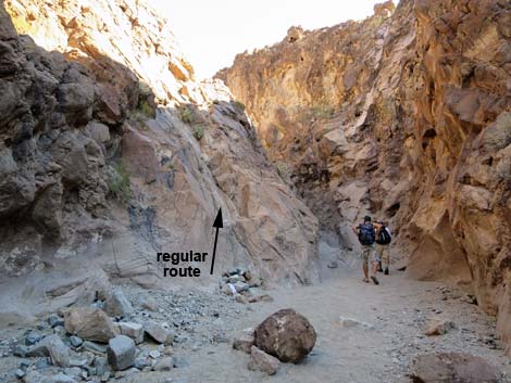
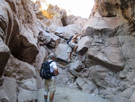
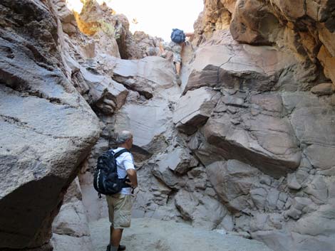
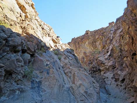
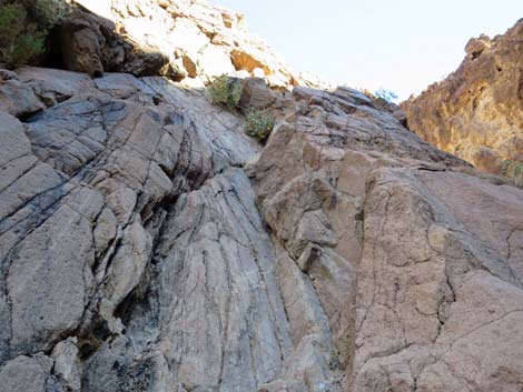
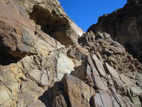
Above the confluence, the North Fork of Hot Spring Canyon continues northeast and in about 15 minutes enters the Upper Narrows (Wpt. 13). Approaching the narrows, notice the curiosities on the big boulders along the north side of the wash. Beyond the curiosities, hikers soon arrive at the first of the interesting pour-overs. The first one requires about 10-15 ft of 3rd-class face climbing on big holds adjacent to the pour-over. As I recall, the right side of the wall is easier. The second pour-over requires about 20-25 ft of 3rd-class scrambling up a smooth slot adjacent to the main pour-over. Fortunately, the top is easy, so hikers are close to the ground for the more challenging moves. |
 Trail junction to White Rock Canyon (view NE) |
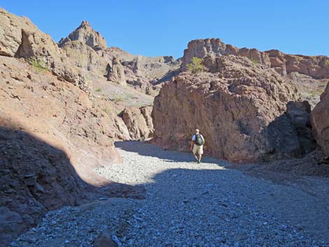
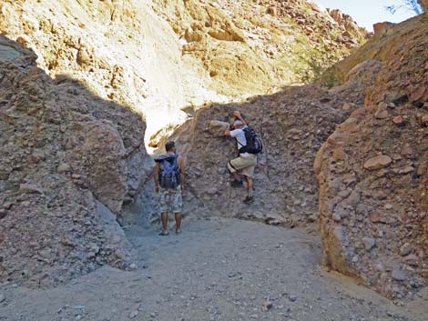
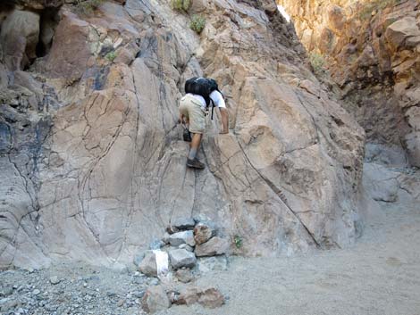
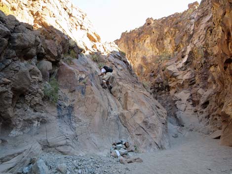
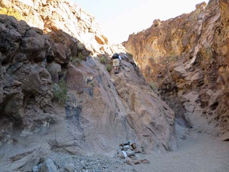
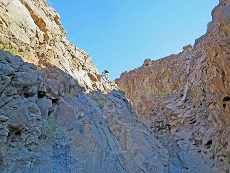
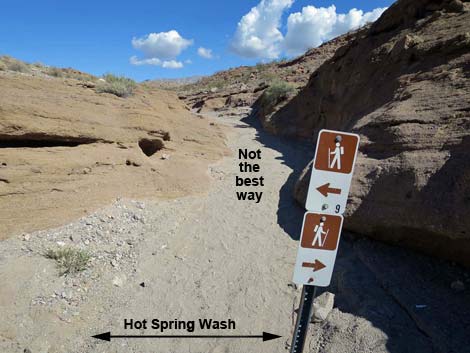
About 5 minutes farther up the canyon, hikers walk into a narrow box canyon (Wpt. 17). This high pour-over can be climbed directly (minimal 5th-class), but it is much easier to backtrack down the wash a few yards to a 30-ft-high, 4th-class rock face on the north side. The climbing is easy, and the handholds are big, but be careful because if you fall near the top you die. Above this last pour-over, the route bends left and continues up the narrow canyon, which quickly opens. A side wash, coming in from the right, is signed to indicates that it is not the best way to go, and the route continues northward. Following the wash north, the trail eventually exits the wash (Wpt. 19) and drifts onto the sideslopes to the right as it climbs towards the low ridge ahead. Atop the ridge (Wpt. 20), the Mountains Route merges from the left, and together the routes head down and right across the next sideslope. |
 Just past White Rock Canyon junction, hiker in the narrow canyon |
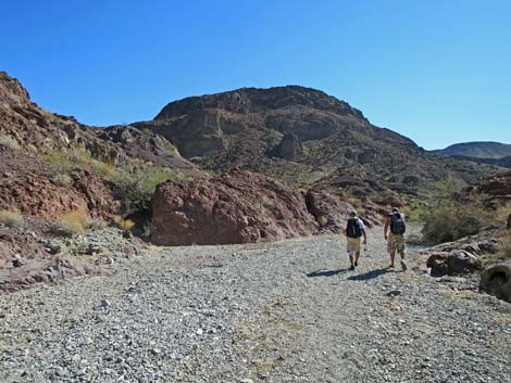
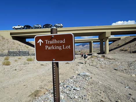
Descending towards White Rock Wash, the trail cuts across the top of a broad pour-over where a can-dump can be seen below. There are some 50 rusty barrels down there, and it makes one wonder what toxic substance was illegally dumped over the edge back when nobody cared. Just past the dump site, the trail joins an old road. Here, the use-trail continues straight up over the next ridge, but hikers can turn left and walk down the old road. Both options lead into White Rock Wash (Wpt. 03), and from there, the route turns upstream and heads for the bridges (Wpt. 02) and the trailhead (Wpt. 01). |
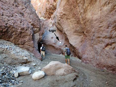 Hikers in lower narrows; note sign on canyon wall Hikers in lower narrows; note sign on canyon wall |
 Take heed, but don't panic |
 Hikers climbing low waterfalls |
 Hiker on the metal ladder |
 Hikers enjoying the lower hot pools |
 At upper hot pool (note: scene changes with each flash flood) |
 Hikers enjoying upper hot pool |
 Upper end, upper hot pool |
 Hikers departing upper hot pool |
 Last of the Lower Narrows |
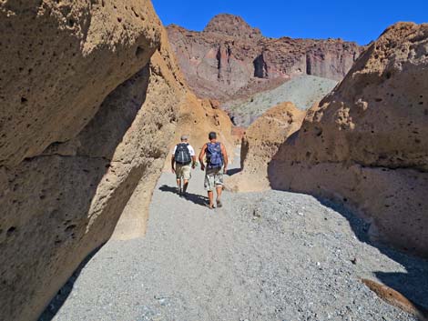
 Hikers in open wash |
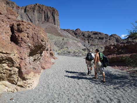
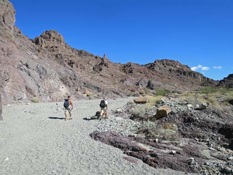
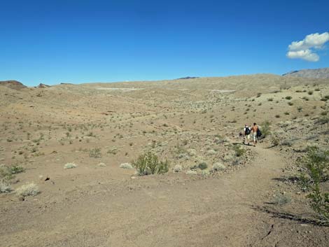
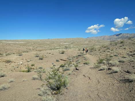
 Hikers in Hot Spring Wash |
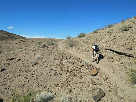
 Shade is available along the way |
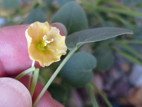 Stop and smell the flowers: Yellow Nightshade Groundcherry |
 |
 |
 |
 |
 |
 |
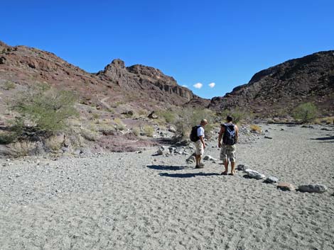
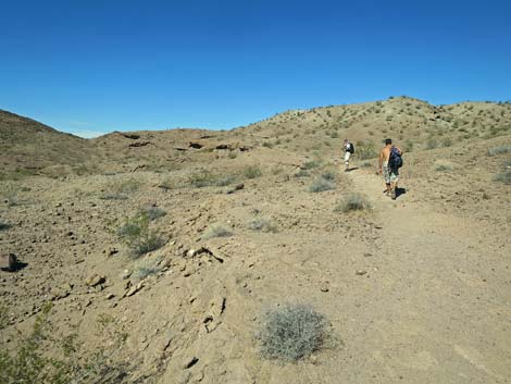
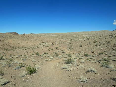
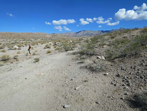
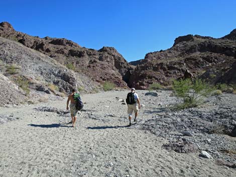 Hikers in open Hot Spring Wash (view NE) |
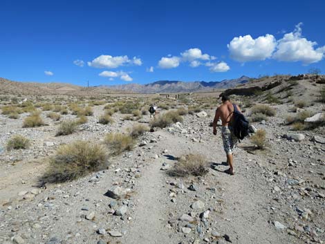
 Hikers entering narrow Hot Spring Wash (view NE) |
 |
 |
 Not quite trivial pour-over (view NE) |
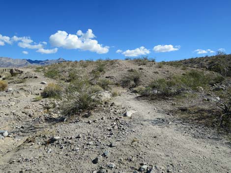
 Above the narrow section (view NE) |
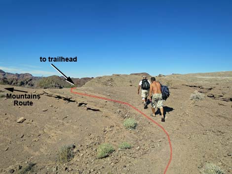
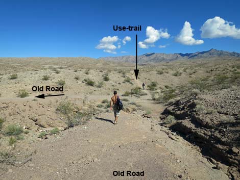
 Approaching trail junction with Mountains Route (view NE) |
 Rocks across wash indicate Mountains Route exit (view NE) |
 Mountains Route departing the wash (view NE) |
 Hikers passing trail junction with Mountains Route (view NE) |
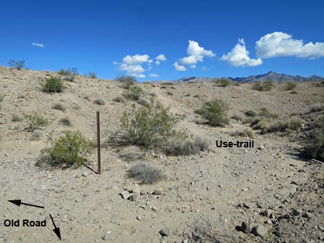
 A bit of use-trail bypasses wash bottom (view NE) |
 Use-trail bypassing wash bottom (view NE) |
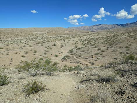
 Back in the wash (view SSE) |
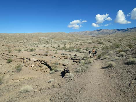
 Confluence of washes: stay left (view SSE) |
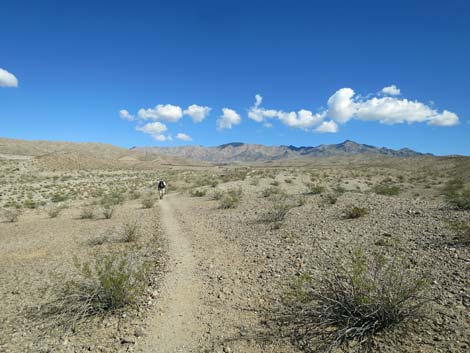
 Hikers staying in Hot Spring Canyon (view E) |
 Hikers in Hot Spring Wash (view ENE) |
 |
 |
 |
 |
 |
 |
 |
 |
 |
 |
 |
 |
 |
 |
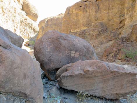
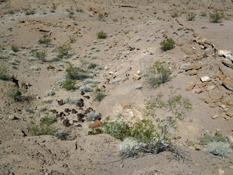
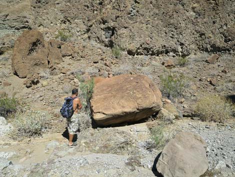 Hiker checking out a boulder |
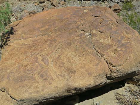 Close-up of the boulder |
 Hiker heading into the Upper Narrows (view NE) |
 Face-climbing to pass lower pour-over |
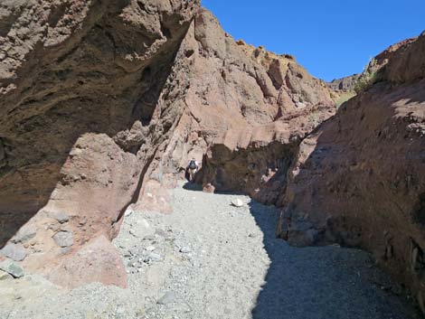
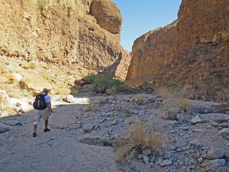
 Hot Spring Canyon (view ENE) |
 Hikers below middle pour-over |
 Above the harder part of the middle pour-over |
 Hiker on easy upper part of middle pour-over |
 Hiker atop middle pour-over |
 Hot Spring Canyon (view ENE) |
 Hiker passing upper pour-over bypass (view E) |
 Hiker entering box canyon (view E) |
 Hiker entering box canyon (view E) |
 Hiker climbing out of the box canyon (view NE) |
 Hiker climbing out of the box canyon (view NE) |
 Hiker climbing the box canyon bypass (view NE) |
 Hiker climbing the box canyon bypass (view NE) |
 Hiker climbing the box canyon bypass (view NE) |
 Hiker atop the box canyon bypass (view NE) |
 Hiker traversing ledge above box canyon bypass (view NE) |
 View from the bypass: not as bad as it looks (view NE) |
 View from the bypass: not as bad as it looks (view NE) |
 Atop the bypass, starting across ledge traverse (view NE) |
 End of ledge traverse, looking down to atop box canyon pour-over |
 Route continues up the canyon (view NNE) |
 Route continues up the canyon (view NNE) |
 Route passes confluence of washes (view N) |
 Not the way (view NE) |
 |
 |
 Use-trail exits wash onto slick-rock hillsides (view N) |
 Hiker on slick-rock hillsides (view N) |
 |
 |
 Use-trail climbs across hillsides (view NW) |
 Hikers approaching ridgeline and trail junction (view N) |
 Hikers descending towards White Rock Wash (view NE) |
 Hikers descending sparsely vegetated hillsides (view NE) |
 Hikers descending sparsely vegetated hillsides (view NE) |
 Hikers approaching can-dump pour-over (view NE) |
 Can-dump below pour-over (view NE) |
 Hiker on old road (view NE) |
 Old road and use-trail diverge (view NE) |
 Use-trail crosses low ridges and gullies (view NE) |
 Hiker traversing open country (view NE) |
 Hikers dropping into White Rock Wash (view NE) |
 Hikers at edge of White Rock Wash (view NE) |
 Hikers can return to the high ground (view SE), but ... |
 ... it probably is easier to just hike up the wash (view NE) |
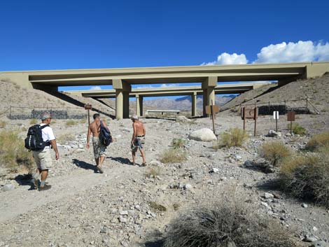 Hikers approaching the Highway 93 Bridges (view NE) |
 In case you get confused (view NE) |
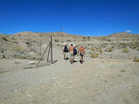 Hikers past the bridge following the wildlife fencing (view N) |
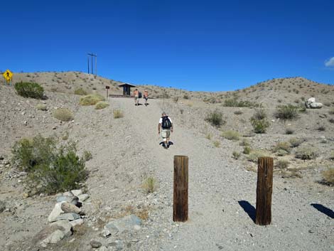 Hikers climbing out of White Rock Wash (view N) |
 Hiker returning to White Rock Canyon Trailhead (view N) |
Table 1. Hiking Coordinates for Washes Route (NAD27; UTM Zone 11S). Download Hiking GPS Waypoints (*.gpx) file.
| Wpt. | Location | UTM Easting | UTM Northing | Elevation (ft) | Point-to-Point Distance (mi) | Cumulative Distance (mi) |
|---|---|---|---|---|---|---|
| 24 | Hot Spring Beach | 704941 | 3981656 | 682 | 0.00 | 0.00 |
| 11 | Hot Springs Canyon | 705061 | 3981744 | 653 | 0.12 | 0.12 |
| 12 | Arizona Hot Springs | 705211 | 3981772 | 757 | 0.18 | 0.30 |
| 13 | Above Hot Springs | 705232 | 3981811 | 770 | 0.02 | 0.32 |
| 23 | Mts Rt - Washes Rt Jct | 706204 | 3982315 | 1,077 | 0.85 | 1.17 |
| 14 | Canyons Merge | 706478 | 3982366 | 1,126 | 0.23 | 1.40 |
| 15 | Bottom of Narrows | 706758 | 3982472 | 1,189 | 0.21 | 1.61 |
| 16 | 3rd-class Pour-Over | 706990 | 3982517 | 1,251 | 0.18 | 1.79 |
| 17 | Above Pour-Over | 707023 | 3982526 | 1,290 | 0.05 | 1.84 |
| 18 | Washed Merge | 707032 | 3982574 | 1,309 | 0.05 | 1.89 |
| 19 | Entering Wash | 706987 | 3982749 | 1,318 | 0.11 | 2.00 |
| 20 | Crossing Ridge | 706875 | 3983095 | 1,420 | 0.27 | 2.27 |
| 03 | Hot Spring Canyon Route | 707130 | 3983517 | 1,393 | 0.34 | 2.61 |
| 02 | Trail Signs | 707597 | 3983812 | 1,492 | 0.36 | 2.97 |
| 01 | White Rock Canyon Trailhead | 707677 | 3983996 | 1,536 | 0.15 | 3.12 |
Happy Hiking! All distances, elevations, and other facts are approximate.
![]() ; Last updated 240326
; Last updated 240326
| Hiking Around Lake Mead | Hiking Around Las Vegas | Glossary | Copyright, Conditions, Disclaimer | Home |