Hiking Around Las Vegas, Lake Mead National Recreation Area
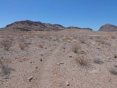
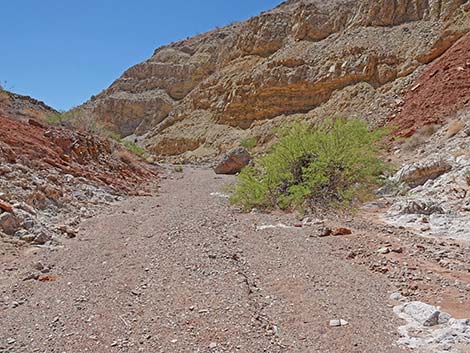
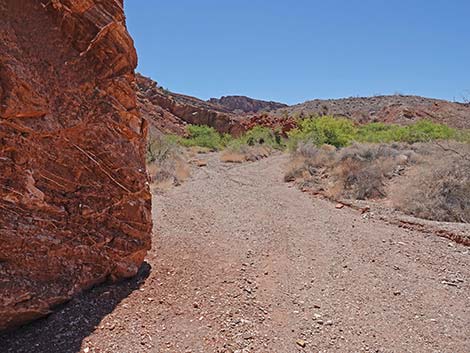
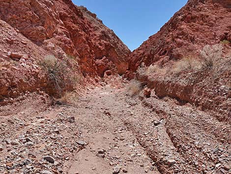
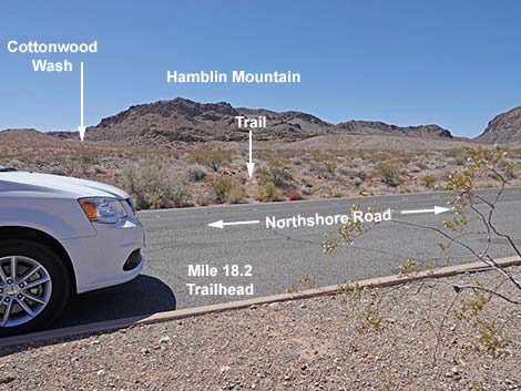 Mile 18.2 Trailhead (view S) |
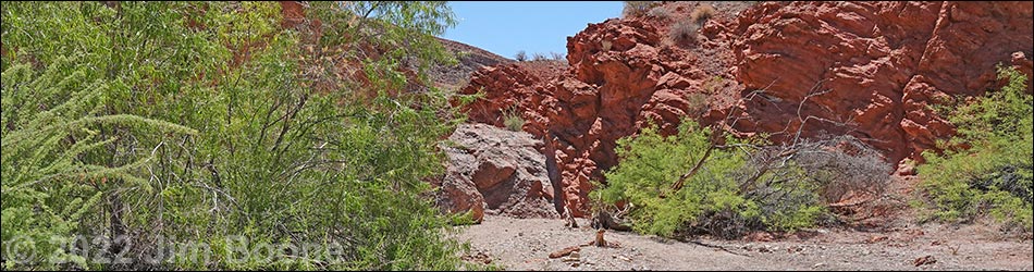
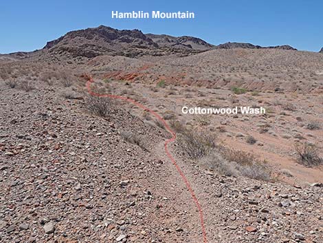
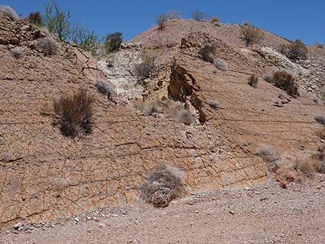
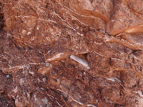
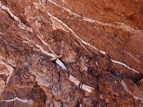
Overview Cottonwood Wash runs through a beautiful, geologically jumbled area for about 1 mile to Cottonwood Spring, then continues another mile to the Confluence of the East and West Forks of Cottonwood Wash. The route runs through volcanic mountains, red sandstone crags, layered limestone mountains, and conglomerate cliffs where blue-gray limestone cobbles are set in a matrix of red sandstone, plus mudstones and siltstones that record ancient lake beds with myriad Cenozoic fossils and ripple marks. The colors in the mudstones and siltstones include grays, tans, reds, yellows, and greens, plus the area has lots of glittery gypsum mixed in. The hike to the spring is a great hike for less adventuresome people and families with young kids, and for hikers so inclined, the easy walking continues up the wash for another mile or so. This hike is entirely within the Pinto Valley Wilderness Area. Link to map. |
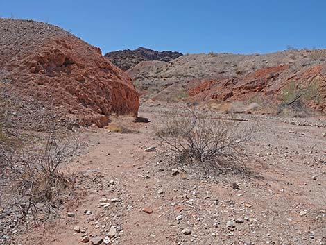
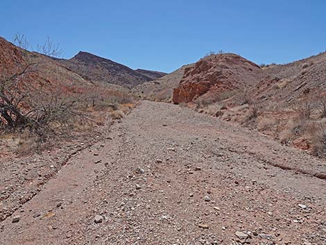
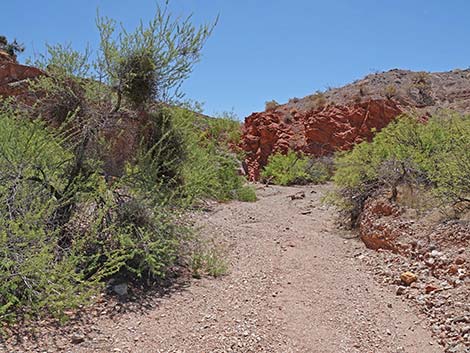
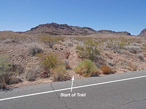 Start of the trail at the edge of Northshore Road (view SW) |
Watch Out Other than the standard warnings about hiking in the desert, ...except for crossing the highway, this route is about as safe as they get. There is a low and easy-to-climb pour-over behind Cottonwood Spring, so be careful when high enough to fall and get hurt. Always be aware of the potential for flashfloods. Silverleaf Sunray and California Bearpaw Poppies, species of concern in Nevada, grow in the red-and-white mud hills. Please help protect these plants by staying off the mud hills. While hiking, please respect the land and the other people out there, and try to Leave No Trace of your passage. Also, even though this hike is short, be sure to bring what you need of the 10 Essentials. Also, this hike runs into the Pinto Valley Wilderness Area, so pay particular attention to respecting the land. |
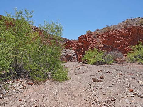
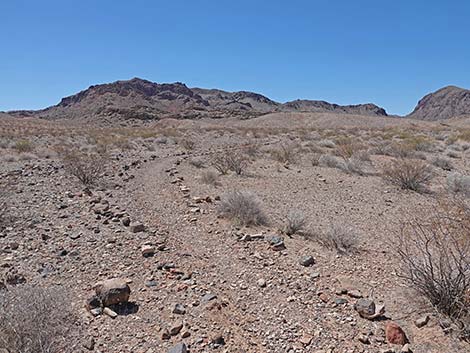 Up off the road, the trail is well marked (view SW) |
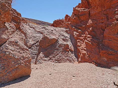
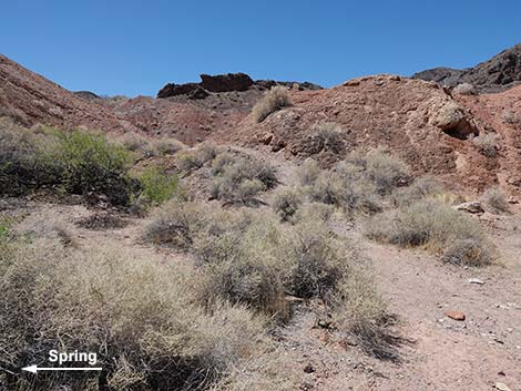
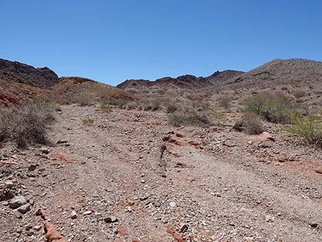
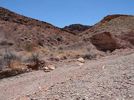
Getting to the Trailhead This hike is located along Northshore Road in Lake Mead National Recreation Area, about 45 minutes northeast of Las Vegas. From town, drive out to Lake Mead, then drive north on Northshore Road for about 18.2 miles to the Mile 18.2 Trailhead. Park here; this is the trailhead. The Hike From the trailhead, a use-trail runs south from the western end of the parking area. Carefully crossing the highway, a use-trail can be seen on the south roadcut (Table 1, Waypoint 01). The route runs south on the well-marked use-trail across some nice desert pavement with scattered, stunted creosote bush and white bursage. After about 0.2 miles, the use-trail reaches the edge of Cottonwood Wash (Wpt. 02). From there, high above the wash, Cottonwood Spring lies to the left (upstream), and Northshore Road can be seen crossing the wash to the right (downstream). If a hiker missed this obscure turnoff when hiking back out, they would hit the road, and so there is no chance of getting lost in this area. |
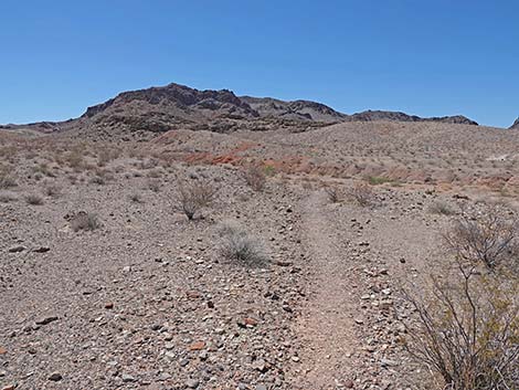
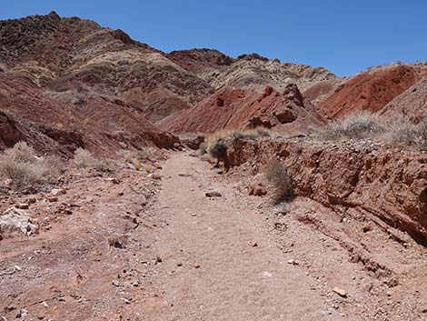
 Trail crossing desert flats (view SW) |
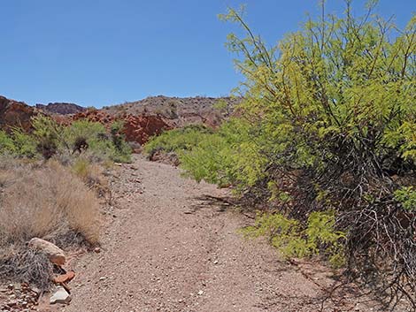
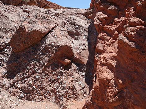
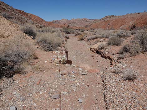
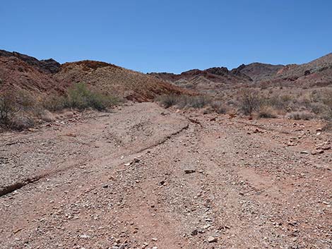
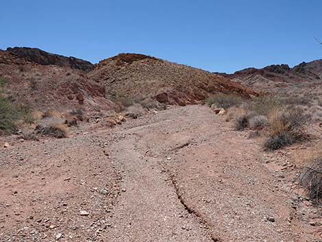
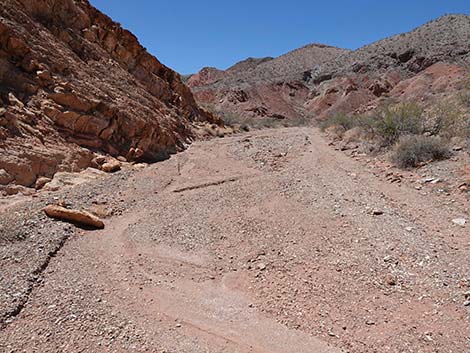
The use-trail drops into the wash (Wpt. 03) and crosses to the main "water course" (Wpt. 04), which is fairly broad, smooth, and runs at a gentle grade. The route turns south (left) and runs upstream. In the wash bottom, more water is available to plants than on the previous desert flats, and species like catclaw acacia, mistletoe, Mormon tea, desert holly, and desert almond are common and robust. Drought-tolerant species like creosote, bursage, and pygmy cedar can be seen beyond the edges of the wash. Farther up canyon in the red-and-white mud hills, rare species like Silverleaf Sunray and California bearpaw poppies, which are species of concern in Nevada, thrive in the gypsum-rich soils. Please help protect these species by staying off the mud hills. About halfway to Cottonwood Spring (0.6 miles out), the route passes through Halfway Narrows (Wpt. 05), which were formed by layers of volcanic ash that turned to stone and tilted sideways. |
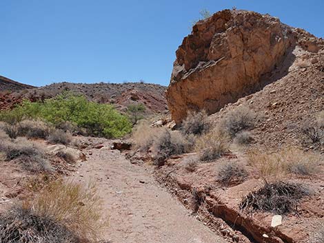
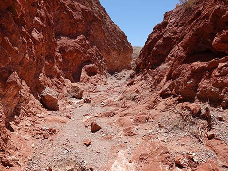
 Approaching edge of bluff overlooking Cottonwood Wash (view SW) |
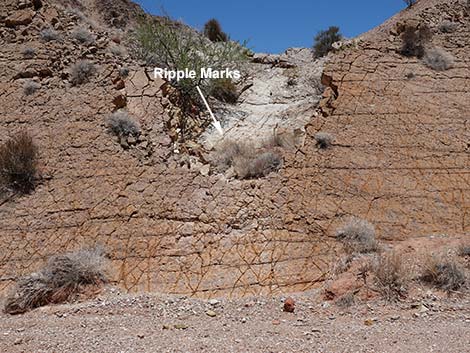
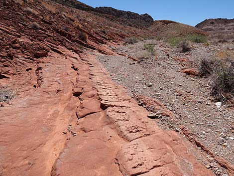
Just before the narrows (less than 50 yards), there is a low, fairly smooth, yellow-brown wall on the left side of the wash that is full of recent fossils such as oyster or mussel shells, snail shells, worm tracks, and other identified things. At about the middle of this wall, a little wash comes down the hillside and cuts a notch in the wall. Up in the notch, maybe 20 feet from the bottom of the wash, there are some of the best examples of "fossilized" ripple marks (large, deep, and regular) that I have ever seen. Above the narrows, many worm tracks can be seen in the stone. At the narrows, the southwest-facing wall holds some nice specimens of barrel cactus, pygmy cedar, Mormon tea, and mesquite growing on sunny side. It is hard to believe that these plants can grow on this sunny rock face, but it is a pretty rock garden. On the north end of this wall, about 10-15 feet above the wash, there is a set of ripple marks that are larger (wide but shallow) than any I have ever seen. They are so wide (perhaps 18-24 inches) that they don't look like ripple marks until you see the difference between the surface of that layer of stone and the layer that lies above it. |
 Top of bluff overlooking Cottonwood Wash (view S) |
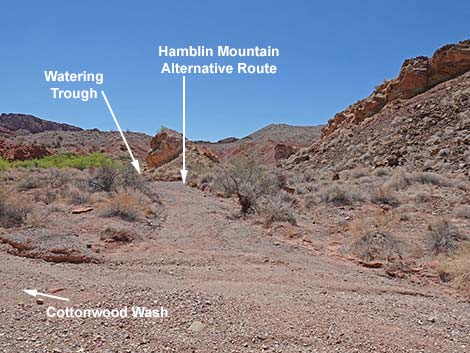
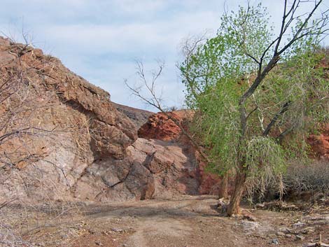
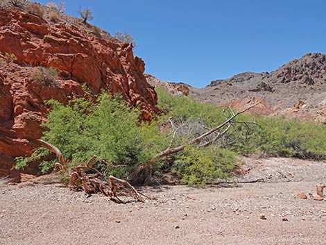
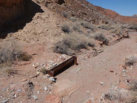
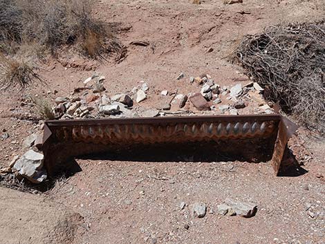
Continuing another 0.2 miles up the wash, which is still running at the same gentle angle, cottonwood trees at the spring come into view. Just below the spring, the wash forks. The spring is in the left fork, which is obvious because of the cottonwood trees. An old road, the historic Arrowhead Highway, runs up the right fork to bypass a pour-over behind the spring, then loops left and back into the main Cottonwood Wash. Before the Arrowhead Highway starts up the hill, an old radiator water trough lies at the base of a cliff. Old pipes carried water from the spring to the trough. It is interesting to contemplate what it would have been like to drive this "highway" back in the old days. Continuing to the spring (Wpt. 06), two cottonwood trees against a cliff that is red on the west side (right) and blue-gray conglomerate on the east side (left). In addition to the cottonwood trees, honey mesquite, Arrowweed, and saltbush, plus several desert willows grow at the spring. The ground is moist here, and there is considerable salt built up on the surface of the soil. If there is no water on the surface, look around to see if animals, such as bighorn sheep, dug into the sand to find water. |
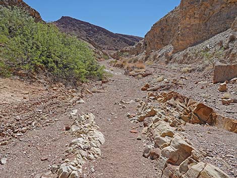
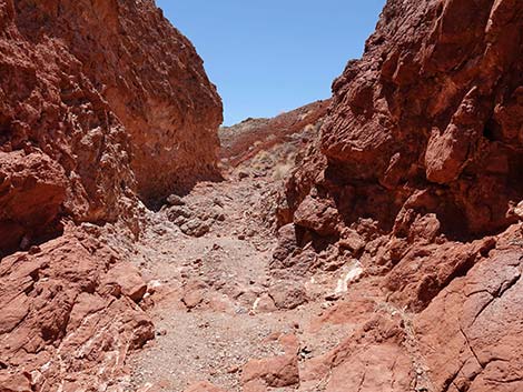
 Trail descends into Cottonwood Wash (view S) |
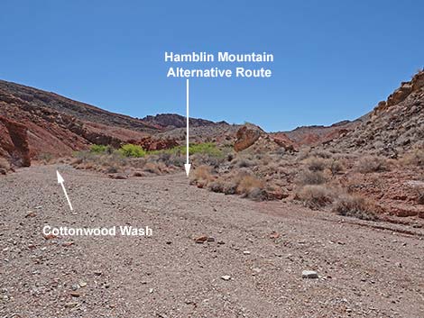
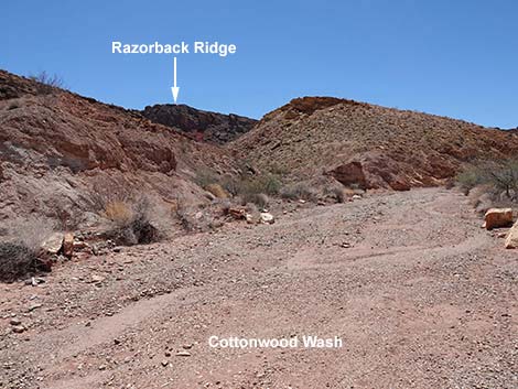
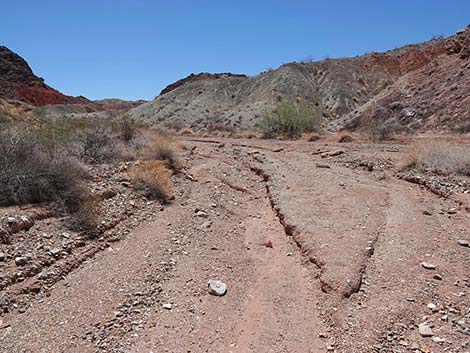
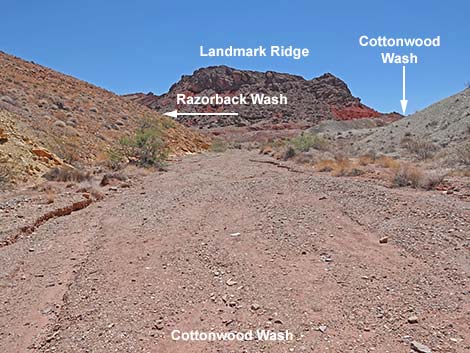
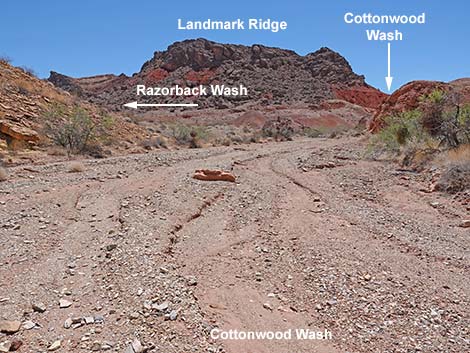
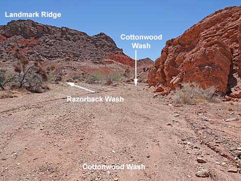
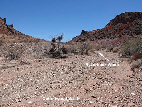
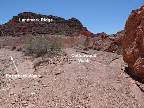
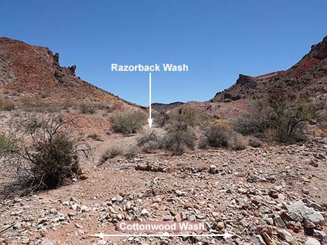
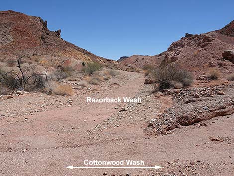
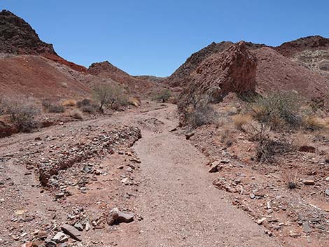
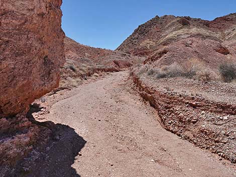
After resting and enjoying the shade of the cottonwood trees, either wander farther up the wash, which is an easy walk for another mile or so, or follow your footprints back to the trailhead. Above Cottonwood Spring, the canyon continues to run through the same colorful volcanic landscape as below the spring. For details of the canyon above Cottonwood spring, see the Hamblin Mountain route. From the spring (Wpt. 06), the route continues up the main wash. The short pour-over behind the cottonwood trees is an easy scramble up. Shortly, the route cross a short pour-over and several red-rock fins that cross the wash. Just above this, the Arrowhead Highway (Wpt. 07) rejoins Cottonwood Wash. Hiking up Cottonwood Canyon, several minor washes merge, but the main canyon always is obvious. About 1/2-miles above the spring, however, a major wash, Razorback Wash North, merges from the east (Wpt. 08). The route stays right and continues south. |
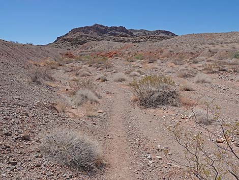
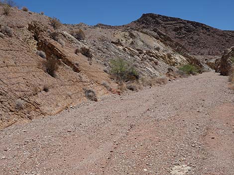
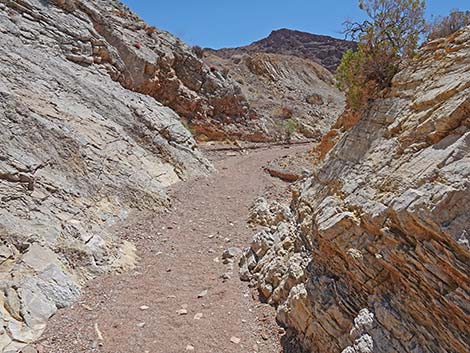
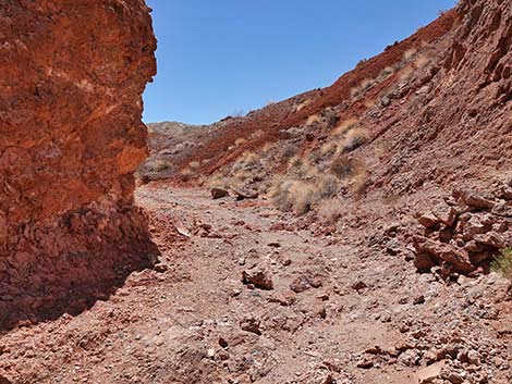
 Starting up Cottonwood Wash (view S) |
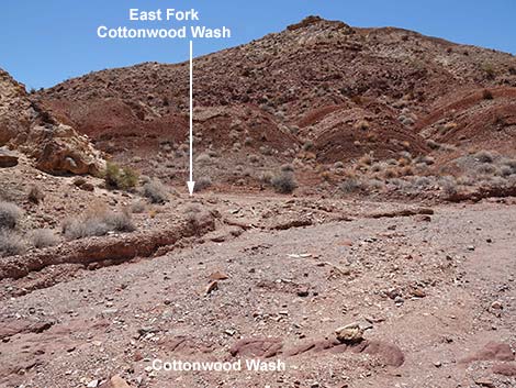
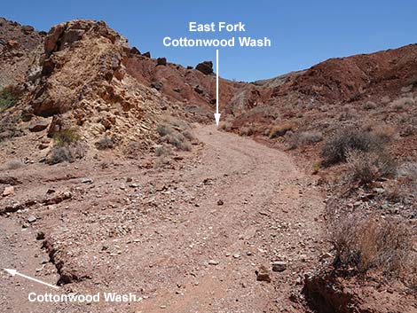
Following Cottonwood Wash, the canyon narrows to a few feet wide as it cuts through a ridge. Here, the rocks on the right side of the narrows are red sandstone, while the rocks on the left side are blue-gray conglomerate (similar to the cliff at Cottonwood Spring, but orientated at a different angle). Just beyond the narrows, the wash hits a white mudstone wall (Wpt. 09). The wash splits to the northeast (East Fork of Cottonwood Wash) and southwest (West Fork of Cottonwood Wash), as if it were a T-intersection. The fork to the left follows the Arrowhead Highway over the ridge into Pinto Valley, while the fork to the right is the route to Hamblin Mountain. For photos of the return to the trailhead, see Cottonwood Wash - Downhill. |
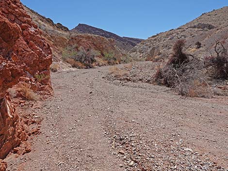
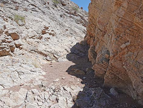
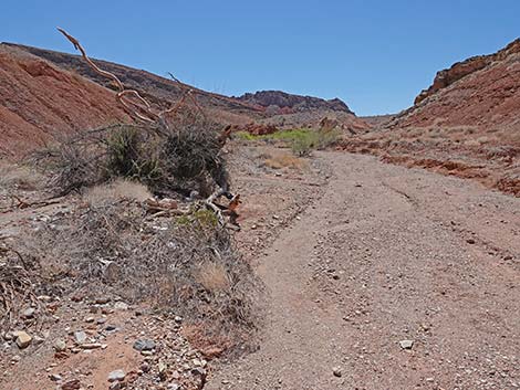
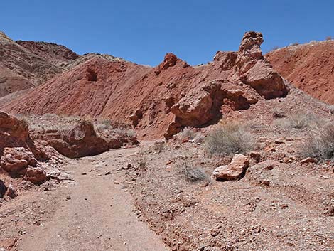
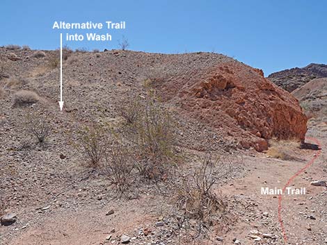 Passing alternative route into wash (view S) |
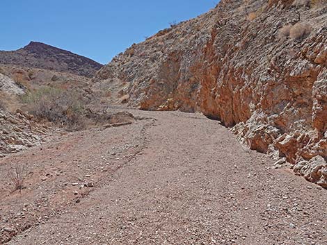
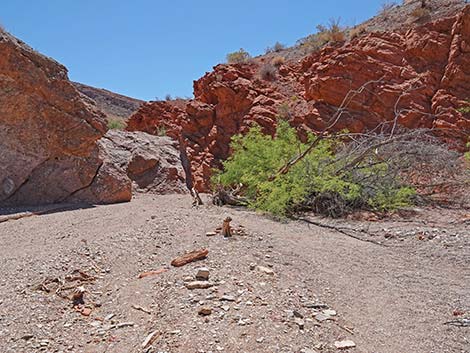
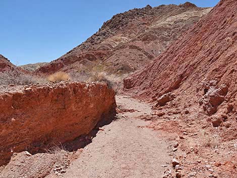
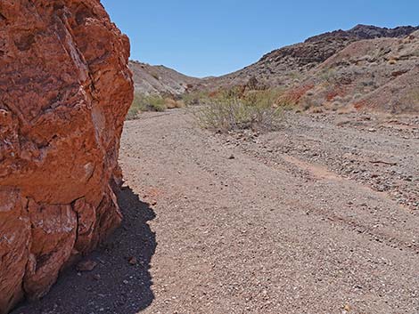 Passing first red outcrop in Cottonwood Wash (view SE) |
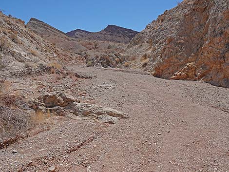
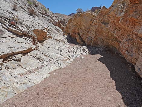
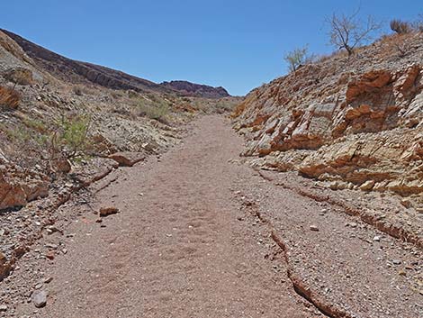
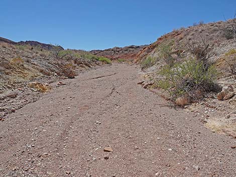
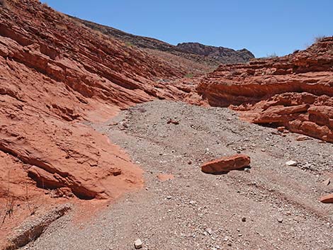
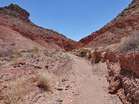
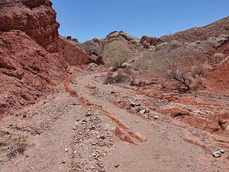
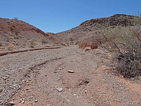 Cottonwood Wash makes for easy walking (view SE) |
 Firm gravel in Cottonwood Wash (view SE) |
 |
 |
 |
 |
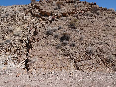
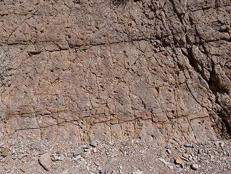
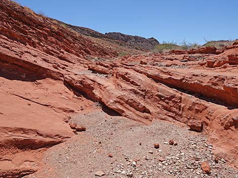
 Lots of layers of rock (view SE) |
 Approaching the Yellow-brown wall (view SE) |
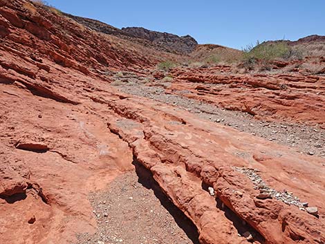
 Yellow-brown garden wall with fossils and ripple marks (view NE) |
 Yellow-brown wall with lots of fossils (view NE) |
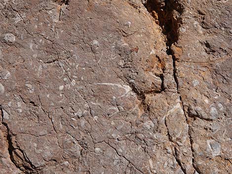 Oyster and snail fossils in the yellow-brown wall (view NE) |
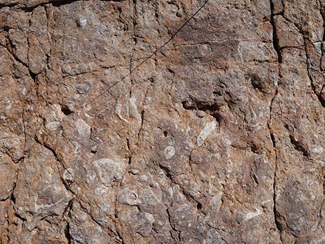 Oyster and snail fossils in the yellow-brown wall (view NE) |
 Continuing along the yellow-brown wall (view E) |
 Yellow-brown wall with ripple marks (view E) |
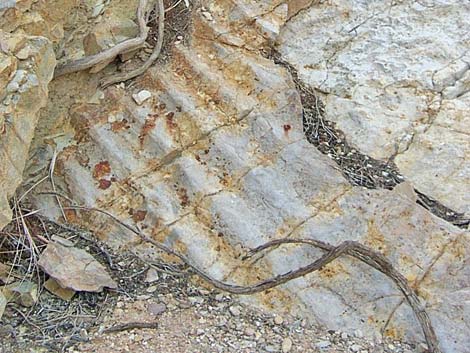 Fossilized ripple marks in the stone |
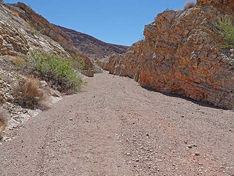 Approaching Halfway Narrows (view SE) |
 Entering Halfway Narrows (view SE) |
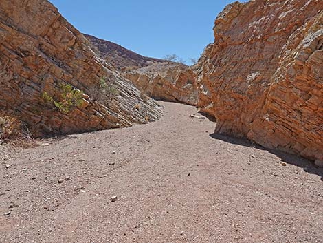
 Halfway Narrows (view SE) |
 Halfway Narrows (view SE) |
 Exiting Halfway Narrows (view SE) |
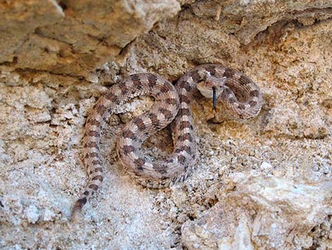 I made a new friend in Halfway Narrows: Mojave Desert Sidewinder |
 Just above Halfway Narrows (view SE) |
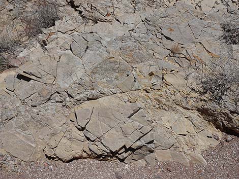 Stone with trace fossils (view E) |
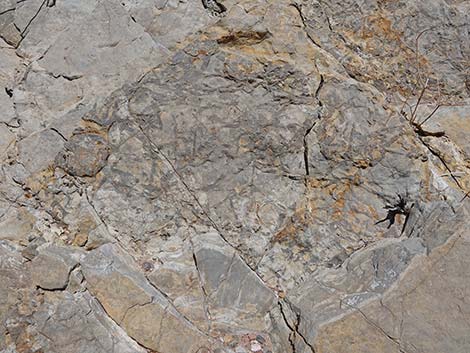 Trace fossils (view E) |
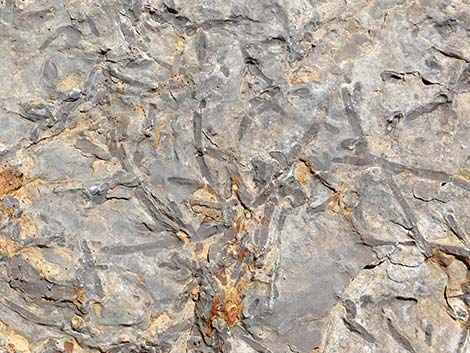 Trace fossils (view E) |
 Cottonwood Wash (view SE) |
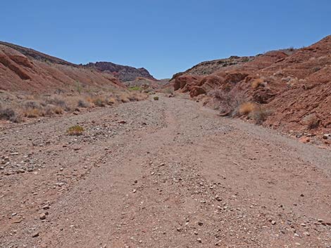 Cottonwood Wash (view SE) |
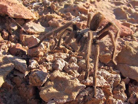 Another little friend in the wash: Desert Tarantula |
 Cottonwood Wash (view SE) |
 Remains of one cottonwood tree (view SE) |
 First good view of trees at the spring (view SE) |
 Alternative Hamblin Mtn route turns up side-wash (view S) |
 Alternative Hamblin Mtn route runs up side-wash (view S) |
 Regular Hamblin Mtn route continues up Cottonwood Wash |
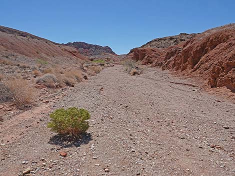
 Main route continues up Cottonwood Wash (view SE) |
 Gypsum in the rocky, red-mudstone outcrops |
 Gypsum in the rocky, red-mudstone outcrops |
 Honey Mesquite trees suggest moisture in the subsoil (view SE) |
 Approaching Cottonwood Spring (view SE) |
 The Cottonwoods are gone, but a Desert Willow is growing tall |
 Approaching Cottonwood Spring Pour-Over (view SE) |
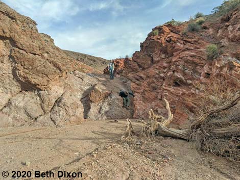 Hikers descending Cottonwood Spring Pour-Over (view SE) |
 Cottonwood Spring Pour-Over (view SE) |
 Cottonwood Spring Pour-Over: lots of water-polished knobs (view SE) |
Cottonwood Spring Area
 Historical photo: Cottonwood Spr. with 2 living cottonwoods (view SE) |
 Remains of the other cottonwood tree |
 Trail from spring to Hamblin Alternative route (view SW) |
 Approaching the watering trough (view N) |
 Radiator water along the Arrowhead Highway (view NW) |
 Radiator water along the Arrowhead Highway (view W) |
 Approaching the watering trough (view S) |
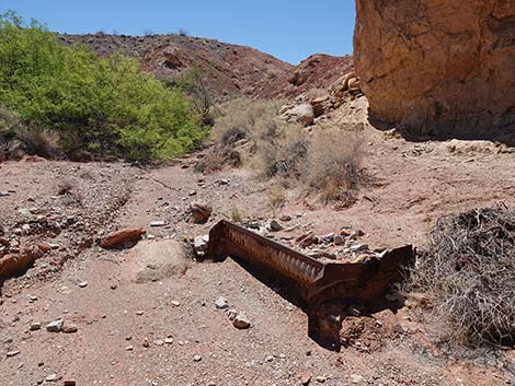 Radiator water along the Arrowhead Highway |
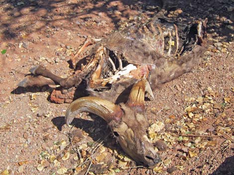 Desert Bighorn carcass: life is hard in the desert |
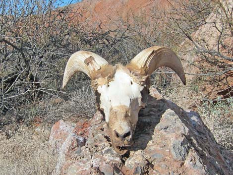 Desert Bighorn skull |
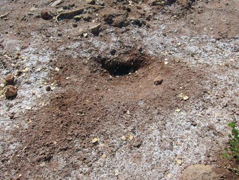 Hole dug by animals to get water (notice salty white crust) |
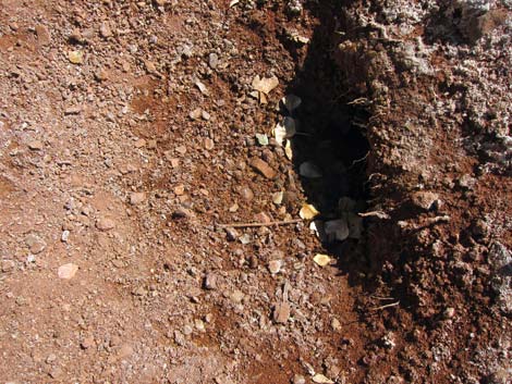 Water hole dug by animals (hard to see water in shadow) |
Upper Cottonwood Wash (above the spring; heading upstream)
Hikers on pour-over (view SE) |
 Cottonwood Wash just above the pour-over (view SE) |
 Continuing up Cottonwood Wash (view SE) |
 Entering the Red Layers (view SE) |
 |
 |
 Exiting the Red Layers (view SE) |
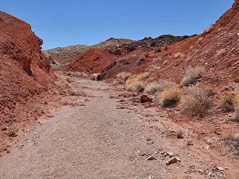
 Continuing up Cottonwood Wash (view SE) |
 |
 |
 The top of Razorback Ridge comes into view (view SE) |
 Not the best way to Razorback Wash (view SE) |
 The wash bends to the right (view SW) |
 The wash bends back to the left (view S) |
 Landmark Ridge comes fully into view (view SE) |
 Approaching confluence with Razorback Wash (view SE) |
 Cottonwood Wash approaching Razorback Wash North (view E) |
 Cottonwood Wash at Razorback Wash North (view E) |
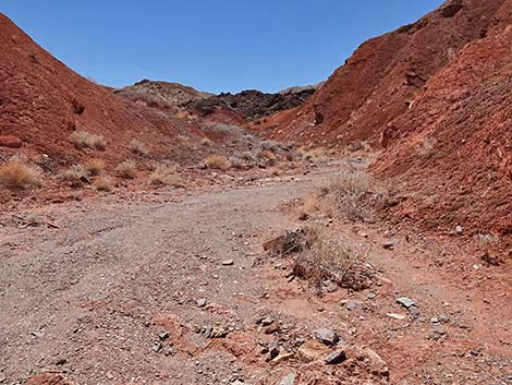
 Continuing up Cottonwood Wash (view SE) |
 Another look up Razorback Wash (view E) |
 Coming down Razorback Wash, hikers likely come out here (view E) |
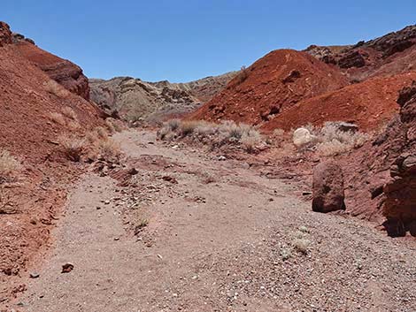
 Continuing up narrow Cottonwood Wash (view SE) |
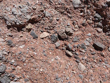
 Passing an outcrop of red mudstone (view S) |
 Starting into the Red Mud Hills (view SW) |
 Gargoyles guarding entrance to the Red Mud Hills (view SW) |
 Erosion happens in the Red Mud Hills (view S) |
 Narrow erosion gully approaching the Upper Narrows (view S) |
 Arriving at the Upper Narrows (view S) |
 Entering the Upper Narrows (view S) |
 Passing through the Upper Narrows (view S) |
 Exiting the Upper Narrows (view S) |
 Above the Upper Narrows (view S) |
 |
 |
 |
 |
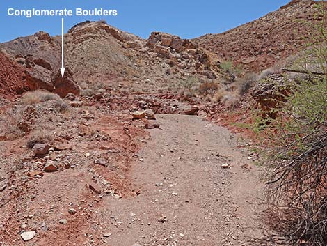 Cottonwood Wash approaching fallen conglomerate boulders |
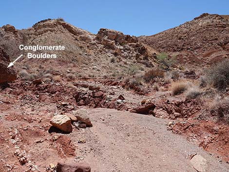 Cottonwood Wash at fallen conglomerate boulders |
 Conglomerate boulders (view E from wash bottom) |
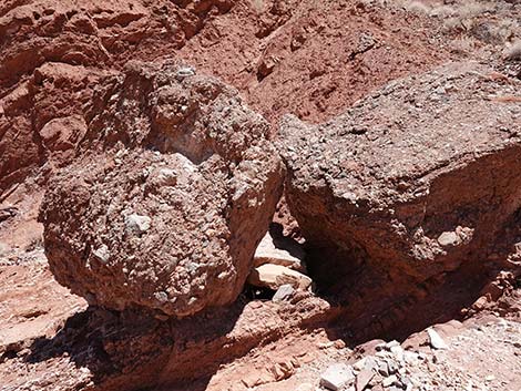
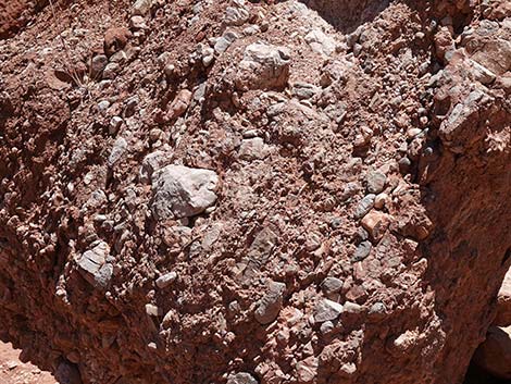 Conglomerate boulders details |
 Conglomerate boulders closeup |
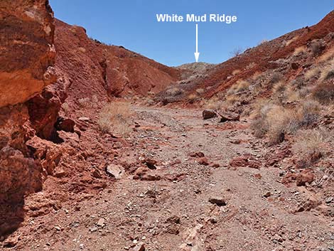
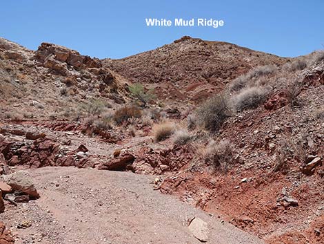 The White Mud Ridge comes fully into view (view S) |
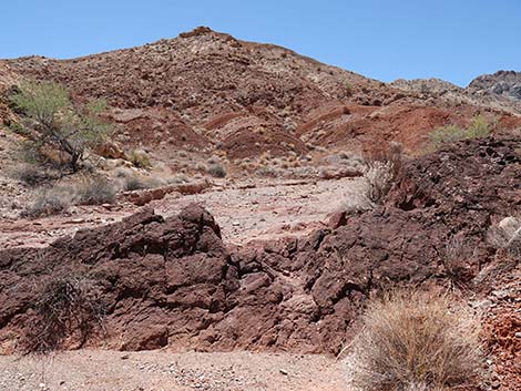 Ridge of dark rock crosses the wash (view S) |
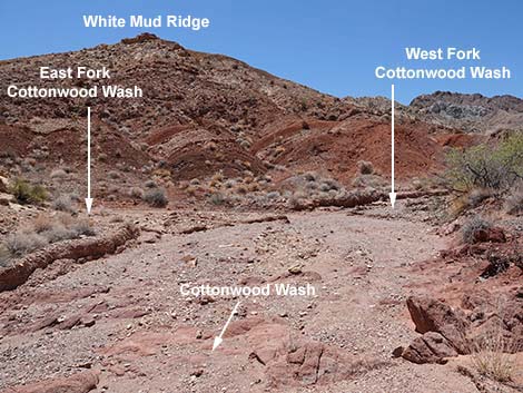 Confluence of East and West forks, Cottonwood Wash (view S) |
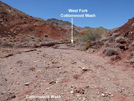 Cottonwood Wash, staying right into the West Fork (view SW) |
 Cottonwood Wash, staying right into the West Fork (view SW) |
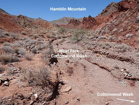 West Fork Cottonwood Wash, looking towards Hamblin Mtn (view SW) |
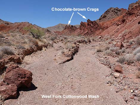 West Fork Cottonwood Wash, looking towards chocolate-brown crags |
 Cottonwood Wash, staying left into the East Fork (view S) |
 East Fork Cottonwood Wash, looking towards Pinto Valley (view E) |
Table 1. Hiking Coordinates Based on GPS Data (NAD27, UTM Zone 11S). Download Hiking GPS Waypoints (*.gpx) file.
| Wpt. | Location | UTM Easting | UTM Northing | Elevation (ft) | Point-to-Point Distance (mi) | Cumulative Distance (mi) | Verified |
|---|---|---|---|---|---|---|---|
| 01 | Trailhead | 710745 | 4009664 | 1,965 | 0.00 | 0.00 | GPS |
| 02 | Top of Wash Bank | 710775 | 4009513 | 1,983 | 0.11 | 0.11 | GPS |
| 03 | Bottom of Wash Bank | 710783 | 4009481 | 1,963 | 0.03 | 0.13 | GPS |
| 04 | Cottonwood Wash | 710787 | 4009432 | 1,922 | 0.03 | 0.17 | GPS |
| 05 | Halfway Narrows | 711483 | 4009204 | 2,010 | 0.48 | 0.65 | GPS |
| 06 | Cottonwood Spring | 711951 | 4008808 | 2,067 | 0.40 | 1.05 | GPS |
| 07 | Old Road | 712073 | 4008747 | 2,121 | 0.11 | 1.16 | GPS |
| 08 | Cottonwood Wash at Razorback Wash N | 712435 | 4008324 | 2,183 | 0.40 | 1.56 | GPS |
| 09 | Confluence E and W Forks Cottonwood Wash | 712768 | 4007942 | 2,282 | 0.35 | 1.91 | GPS |
| 01 | Trailhead | 710745 | 4009664 | 1,965 | 1.91 | 3.82 | GPS |
Happy Hiking! All distances, elevations, and other facts are approximate.
![]() ; Last updated 240326
; Last updated 240326
| Hiking Around Lake Mead | Hiking Around Las Vegas | Glossary | Copyright, Conditions, Disclaimer | Home |