Hiking Around Las Vegas, Hiking Lake Mead NRA
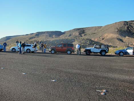 Trailhead Parking (view SW towards Black Mesa) |
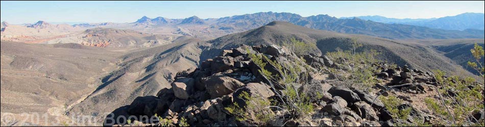
Overview Callville Ridge holds a commanding presence over Callville Bay and the Boulder Basin of Lake Mead, and it provides a fairly easy 4-3/4-miles round-trip hike to three summits with vast views over the entire region. As described, the route is in-and-out to all three summits along the ridge, but hiking only to the first summit provides views nearly as good as those from the other two peaks. Adventuresome hikers can make various loops. The route passes a 1950s-era military jet crash site: please leave history where it lies. There is no trail, not even a game-trail, which is surprising because this is a fairly popular hike and there are lots of bighorn sheep in the area. The route barely rates Class 2, (well, the second peak is minimal 3rd-class, but can be bypassed), but the ridge is quite rocky and trekking poles are helpful. Link to map. |
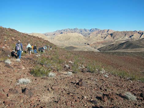
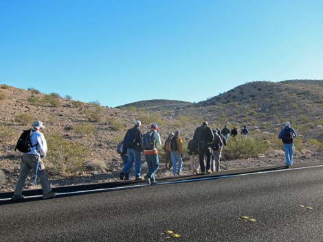 Hikers departing the trailhead (view SE) |
Watch Out Other than the standard warnings about hiking in the desert, ...this hike is fairly safe. There is nothing unusually dangerous about this route, but the rocky peaks look like good rattlesnake habitat. There are many rocky to step over, so be careful of twisting ankles. While hiking, please respect the land and the other people out there, and try to Leave No Trace of your passage. This hike is in a National Park area, so pay particular attention to respecting the land, and be sure to leave historic items where you found them. This hike runs off-trail where nobody will find you, so be sure to bring the 10 Essentials. Cell phones might work from the ridgeline. |
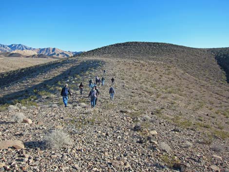
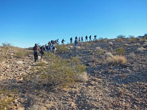 Hikers starting up the toe of the ridge (view E) |
Getting to the Trailhead This hike is located in Lake Mead National Recreation Area, about 45 minutes east of Las Vegas along Northshore Road. From town, drive out to Lake Mead. From the intersection of Northshore Road and Lakeshore Road, drive north on Northshore Road for 11 miles to Callville Bay Road. Turn right onto Callville Bay Road and drive south 0.3 miles to a wide, paved pullout on the right. Park here; this is the trailhead. |
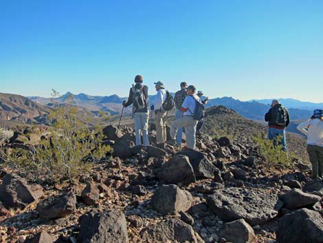
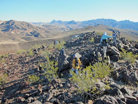
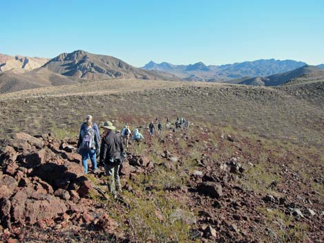
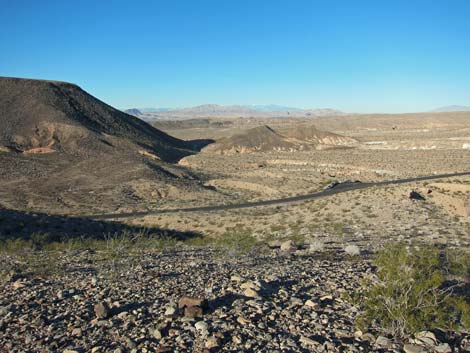
 Hikers on the main ridge (view E) |
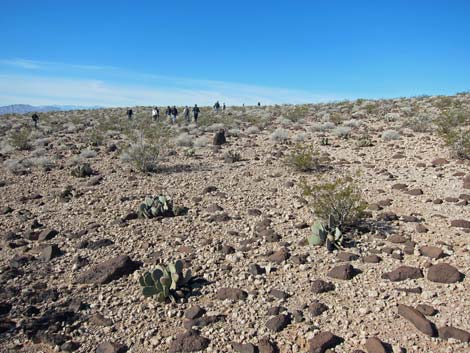
The Hike From the parking area, the trailhead (Table 1, Waypoint 01) is across the road, about 100 yards up the pavement. From the trailhead, the route crosses the "tortoise fence," designed to keep desert tortoises from wandering onto the roadway, and starts up the ridge to the east. The steepest of the route is done by 0.22 miles when the route climbs atop the ridgeline, and most of the elevation is gained by about 0.45 miles out. After that, the route follows the top of the broad ridge eastward to Peak 662 (Wpt. 03), the summit of which is broad and rounded, and to be honest, does not give much of a feeling of accomplishment even if the views are truly grand. Along the ridgeline, the vegetation is dominated by creosote bush and white bursage, but there are also lots of beavertail cactus that colorize the stark hills during late spring. Hikers who get frustrated doing their taxes in April come up here to clean their brain. There are also a number of cottontop cactus along the ridgeline. |
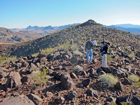
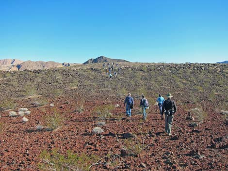
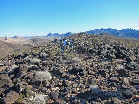
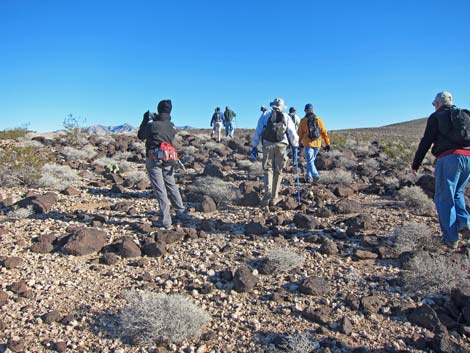 Hikers on ridgeline (notice the many rocks) |
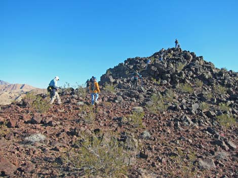
From Peak 662 (Wpt. 03), the route continues east along the ridgeline to Peak 662 East (Wpt. 04). In contrast to the main peak, this one is a boulder pile that offers minimally 3rd-class scrambling to reach the summit directly. Scrambling up the west face, easy as it is, provides the feeling of really climbing onto a summit. Walking down off the east side, the route bends north and then northeast to run down a side ridge into the saddle below. Continuing across the saddle, the route quickly joins an old road (Wpt. 05) and turns southeast to run up the ridge. |
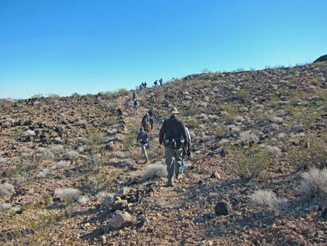
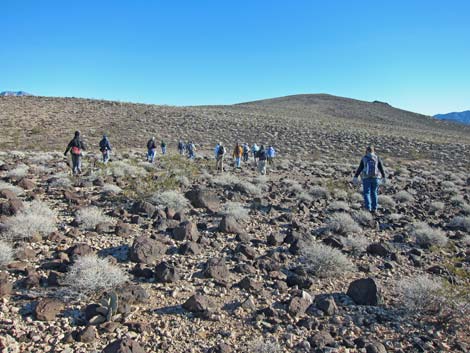 Hikers on ridgeline (notice the many rocks) |
The road was put in to recover debris from a crashed military jet (F-100), and soon bits and pieces of various sizes show up along the road (Wpt. 06). Nobody died here, but please respect the history and memory of this site. The large pieces are ammo cans, landing gear, a seat back, some ducting, and an oxygen bottle. The route continues through the debris field to regain the ridgeline, and shortly arrives at the summit of Peak 653 (Wpt. 07). The summit is rocky with cliffs on two sides, giving the feeling of an airy summit with great views in all directions. Hikers can enjoy the view and a good lunch, then hike back to the trailhead following the same route or by taking any of several alternatives. |
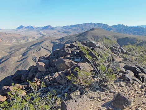
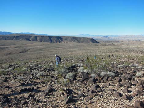 Ridgeline (view W towards trailhead and Black Mesa) |
 Hikers on Peak 622 (view E; notice Peak 622E in the background) |
 Hikers on ridge approaching Peak 622E |
 Peak 622E |
 Descending east off Peak 622E |
 Descending towards saddle |
 |
 |
 Hikers on old road (view SE) |
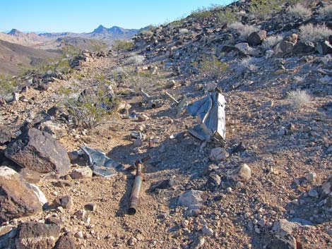 Aircraft debris field (view E) |
 Hikers approaching Peak 653 (view E) |
 Peak 653 (view E) |
 Hikers returning down Callville Ridge (view W) |
 Descending towards the trailhead (view NW) |
Table 1. Hiking Coordinates Based on GPS Data (NAD27; UTM Zone 11S). Download Hiking GPS Waypoints (*.gpx) file.
| Wpt. | Location | UTM Easting | UTM Northing | Elevation (ft) | Point-to-Point Distance (mi) | Cumulative Distance (mi) | Verified |
|---|---|---|---|---|---|---|---|
| 01 | Trailhead | 701220 | 4005217 | 1,678 | 0.00 | 0.00 | GPS |
| 02 | First Hilltop | 701440 | 4005168 | 1,822 | 0.22 | 0.22 | GPS |
| 03 | Peak 662 | 702891 | 4005665 | 2,163 | 1.10 | 1.32 | GPS |
| 04 | Peak 662 East | 703129 | 4005630 | 2,167 | 0.19 | 1.51 | GPS |
| 05 | Old Road | 703345 | 4006003 | 1,947 | 0.37 | 1.88 | GPS |
| 06 | Crash Site | 703758 | 4005762 | 2,063 | 0.34 | 2.22 | GPS |
| 07 | Peak 653 | 703930 | 4005736 | 2,133 | 0.15 | 2.37 | GPS |
| 01 | Trailhead | 701220 | 4005217 | 1,678 | 2.37 | 4.74 | GPS |
Happy Hiking! All distances, elevations, and other facts are approximate.
![]() ; Last updated 240326
; Last updated 240326
| Hiking Wilderness | Hiking Lake Mead | Hiking | Glossary | Copyright, Conditions, Disclaimer | Home |