Hiking Around Las Vegas, Lake Mead National Recreation Area, Bootleg Canyon
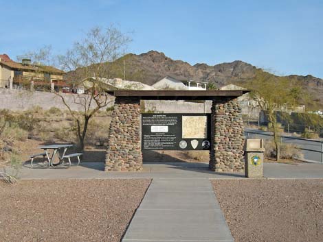 Highway 93 trailhead kiosk (Wpt. 01) |
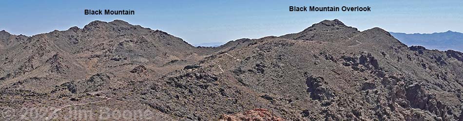
Overview Black Mountain Overlook Trail great hike above Boulder City, just outside the border of Lake Mead NRA. This trail is actually more of an extension to the River Mountains "Foot" Trail than a separate trail in its own right, but road access to near the summit of Red Mountain provides an alternate trailhead that makes Black Mountain Overlook accessible to many more people. Thus, there are two ways to start this trail: hiking 2.8 miles up from Boulder City or driving up the backside and hiking about 0.7 miles to the summit. Either way, the trail leads to Black Mountain Overlook, which provides grand views out over Boulder City and lands to the east and south across Nevada and Arizona. Note that Black Mountain Overlook is not actually atop Black Mountain. Link to map or elevation profile. |
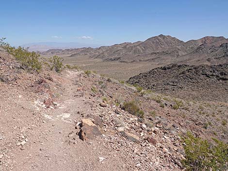
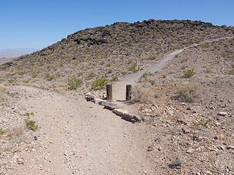
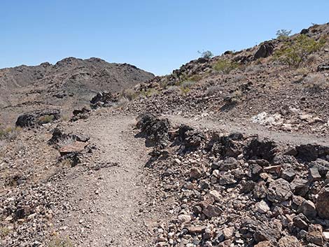
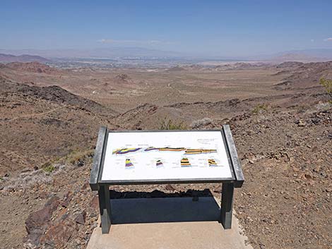
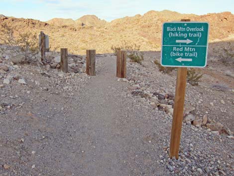 Sign at top of River Mt Hiking Trail (Wpt. 07) |
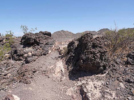
Watch Out Other than the standard warnings about hiking in the desert, ...this is a fairly safe hike. There are some places where a hiker could stumble off the trail near the crest of the mountains, but there are no unusual hazards on this trail. The Black Mountain area is part of the Bootleg Canyon Bicycle Trail System, so be sure to watch for bikers careening down the trail. While hiking, please respect the land and the other people out there, and try to Leave No Trace of your passage. Also, this hike is fairly short, so just bring what you need of the 10 Essentials. |
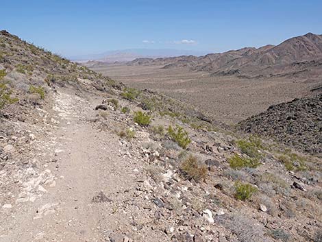
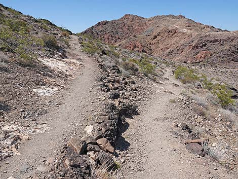
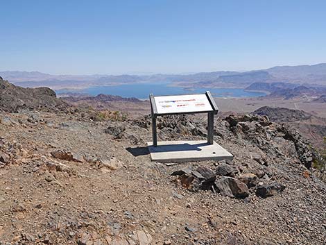
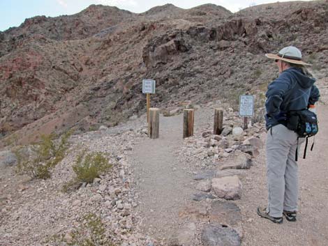 Hiker at top of River Mt. Foot Trail (Wpt. 07) |
Getting to the Trailhead This hike is located in the Bootleg Canyon Area in Boulder City, just west of the Lake Mead National Recreation Area Visitor Center, about 45 minutes southeast of Las Vegas. There are two trailheads: one at the foot of the mountains in Boulder City (Highway 93 Trailhead), and one at a parking lot high on the backside of Red Mountain (Red Mountain Trailhead). In either case, from Las Vegas, drive out to Boulder City and Bootleg Canyon. For the Highway 93 Trailhead, from the stoplight and left turn on Highway 93 near downtown Boulder City (Table 1, Site 0802), turn left and continue eastbound on Highway 93 for 0.7 miles. Watch for a large brown "River Mountain Trail Parking" sign and left turn (Site 1016) onto a short access road that leads to a parking lot with spaces for 25 vehicles. Park here; this is the Highway 93 trailhead. |
 Arriving at drive-up trailhead on Red Mountain (View S) |
For the Red Mountain Trailhead, from Highway 93 in Boulder City, turn left onto Yucca Street (Site 1021), which is about 0.6 miles before getting to the stoplight and left turn on Highway 93. Watch for "Bootleg Canyon Trails" signs. From Yucca Street, turn right onto Industrial Road and then left onto Canyon Road, which leads to the Red Mountain Trailhead. Park here; this is the drive-up trailhead. The Hike From the walk-up trailhead (Table 2, Waypoint 1), the River Mountains "Foot" Trail runs past the kiosk and picnic table running northwest between a cement-lined flood control channel and a housing development. At the edge of the housing development, the trail bends to the left and runs more-or-less west past a flood control retention basin, then continues northwest into the desert heading towards the canyon that separates Red and Black mountains. Follow the trail up the canyon all the way to the end of the River Mountains "Foot" Trail atop the saddle between Red and Black mountains (Wpt. 07). For details of this trail, see the description of the River Mountains "Foot" Trail. |
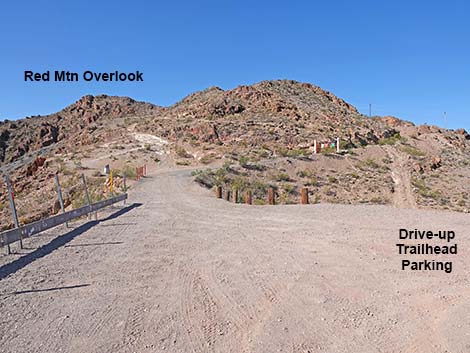
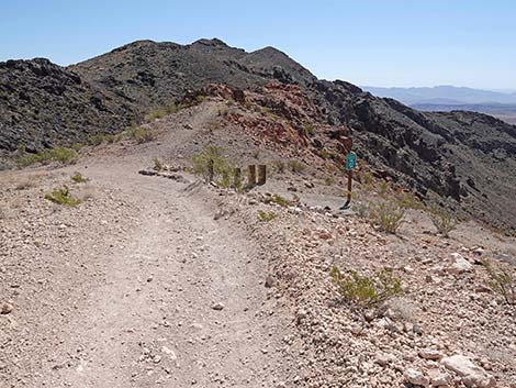
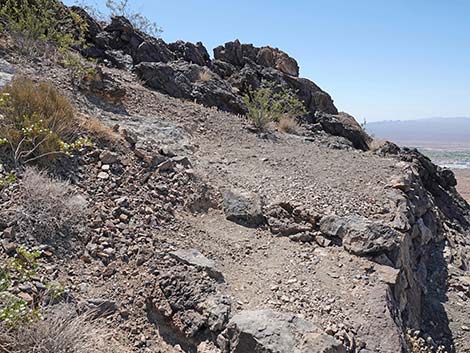
 Drive-up Trailhead and Black Mountain Overlook Trailhead (view N) |
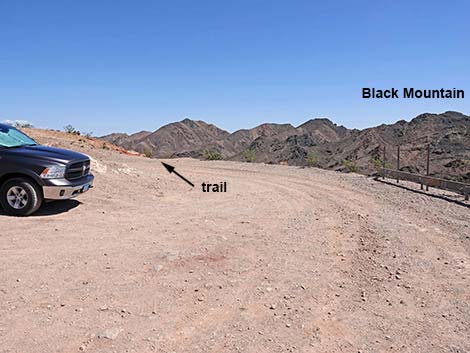
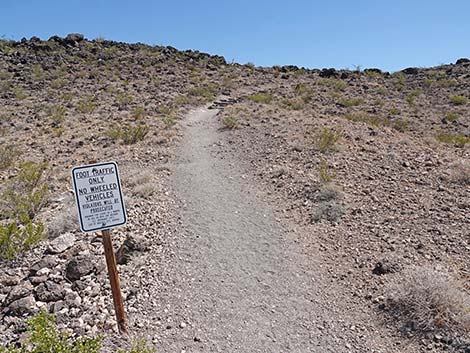
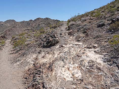
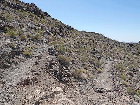
From the drive-up trailhead, there is no sign, but the trail starts down the hillside from the northeast corner of the parking area (Wpt. 11). As can be seen from the trailhead, the trail runs down the hillside to the intersection with the River Mountains "Foot" Trail (Wpt. 07) and a bit farther, another trail intersection (Wpt. 08). At the first trail intersection, a trail sign indicates that the Red Mountain Trail runs uphill to the west, while the Black Mountain Trail runs downhill to the east. This actually is the beginning of these two trails. From here at the trail intersection (Wpt. 07), the Black Mountain Trail continues northeast and down the hillside. About 100 yards farther down the trail, the trail forks (Wpt. 08). A bicycle trail stays left (north) and down the hill, while the Black Mountain Trail goes right and up the hill (east). The sign here reads: "Foot Traffic Only, No Wheeled Vehicles ..." This probably refers to bicycles, but people with baby strollers and those needing various wheeled assistive devices might call the city and ask. |
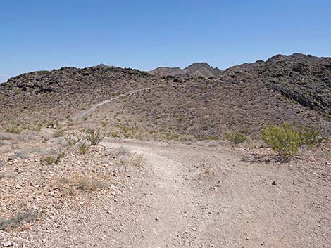
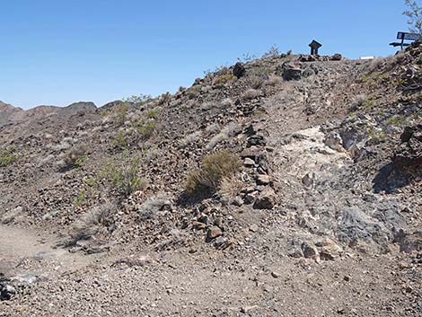
 Black Mountain Overlook Trailhead (view N) |
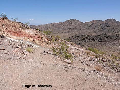
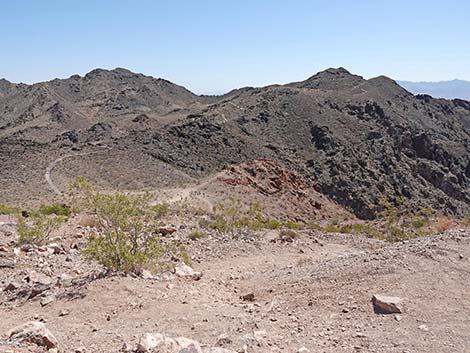
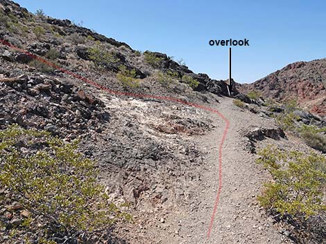
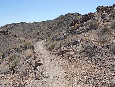
The foot trail runs eastward and begins the climb toward Black Mountain Overlook. The trail runs around a hill on the ridge and comes up to a nice overlook with views down into the canyon below, the trail coming up the canyon, and Boulder City in the distance. Keep an eye out for Mojave Pineapple Cactus on the south-facing hillside; they look like spiny pineapple or little barrel cactus. Continuing upward, the trail switchbacks to the right, then in about 110 feet, switchbacks to the left (Wpt. 09) at a spot where bedrock makes the switchback somewhat obscure, but a well-defined trail continues straight. If you miss the switchback, the trail continues a few yards to an overlook. Enjoy the view overlook Boulder City, then turn around; from this direction, the switchback is obvious. The vegetation near the summit is typical Mojave Desert Scrub dominated by creosote bush and other common plants, but also keep an eye out for Heermann's Buckwheat, an odd, brain-shaped plant that is fairly uncommon. During spring, watch for the blue daisy flowers of Desert Aster and the red flowers of Littleleaf Ratany. |
 Trail starts steeply over the edge (view NE) |
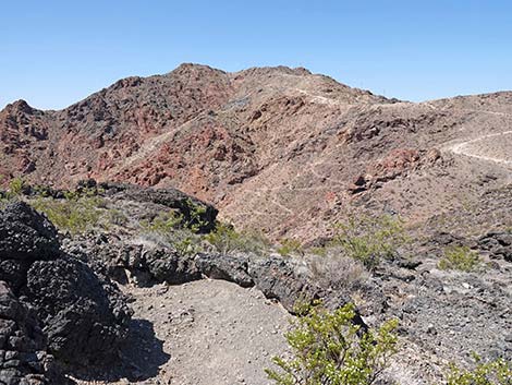
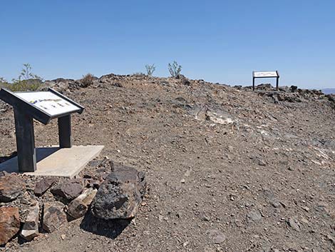
The trail winds around, then switchbacks up the steep west face to the overlook (Wpt. 10). It strikes me a funny that the CCC built a beautiful trail almost all the way, but then in the last 10 vertical feet, they said "the heck with it" and turned straight up the hillside. There is a nice bench on the summit where hikers can sit and enjoy the view to the north of the actual Black Mountain Summit, as well as River Mountain, for which the mountain range was named. Also on the summit are two displays with information about geology. One display has information about the Spring Mountains (view to the northwest), but the picture on the sign is drawn with north and south reversed relative to the view, so it is a bit confusing. The other sign has geologic information about the River Mountains, Lake Mead, and Wilson Ridge across the river in Arizona. |
 Quickly, the grade moderates (view N) |
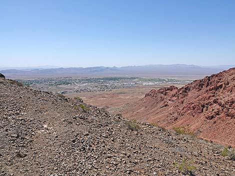
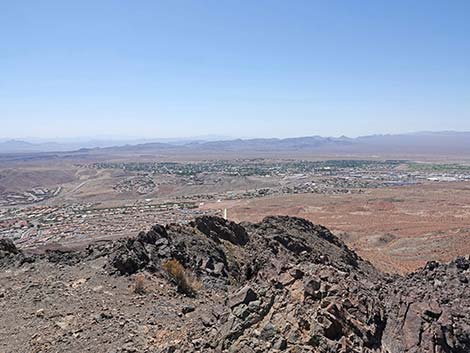
The overlook is a great place to sit, relax, and take in the grand scene. To the north is Las Vegas, to the east is Lake Mead, to the south is Boulder City, and to the west are Red Mountain and the rest of the Black Mountain Range. In all directions, mountain ranges stretch off into the distance. When ready to head down, follow your footprints back down the trail. While doing so, consider hiking up to Red Mountain Overlook, which is another 0.8 miles, round-trip, from the drive-up trailhead. |
 Approaching a switchback (view N) |
 Turning the switchback (view SE) Turning the switchback (view SE) |
 Black Mtn Overlook Trail approaching the "Foot Trail" junction (view E) |
 Staying left past the "Foot Trail" junction (view NE) |
 Approaching another trail junction (view NE) |
 Black Mtn Overlook Trail stays right (view E) |
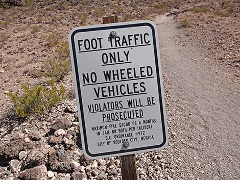 Hikers only on Black Mtn Overlook Trail |
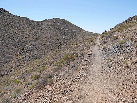
 Trail climbs onto a low ridge (view E) |
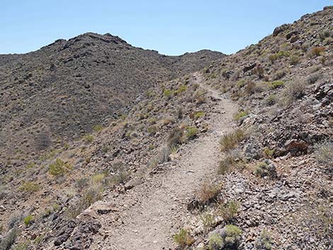
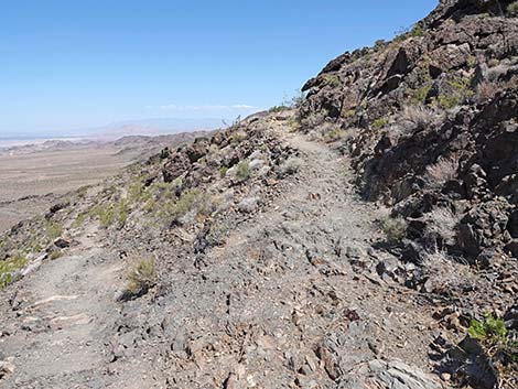
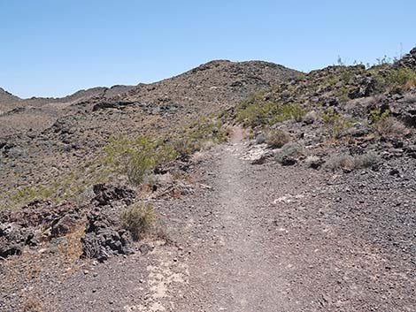 Trail continues at a gentle grade (view E) |
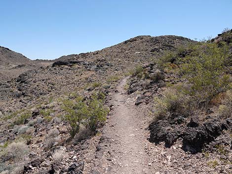 Trail runs up along the side of the ridge (view E) |
 Trail continues at a gentle grade (view E) |
 Trail continues at a gentle grade (view E) |
 Approaching another switchback (view NE) |
 Turning the switchback (view S) |
 Approaching one more switchback and spur to overlook (view NE) |
 Short spur trail leads to a Red Mountain overlook (view SW) |
 Turning the switchback (view NE) |
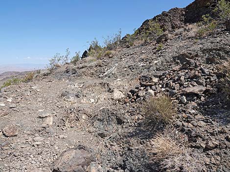
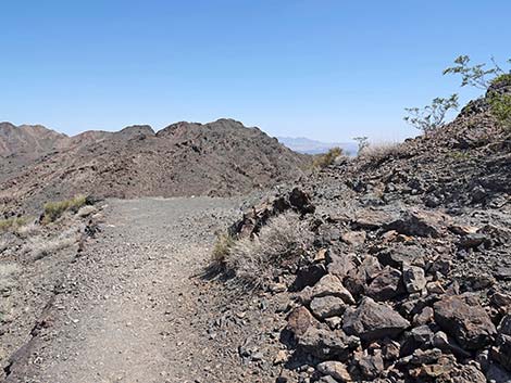
 Trail continues at a gentle grade (view NE) |
 Trail continues at a gentle grade (view E) |
 Trail continues at a gentle grade (view E) |
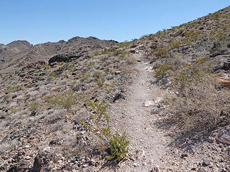
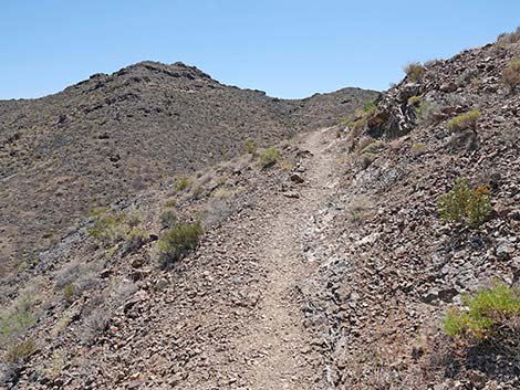
 Trail climbs at a gentle grade towards ridgeline (view SE) |
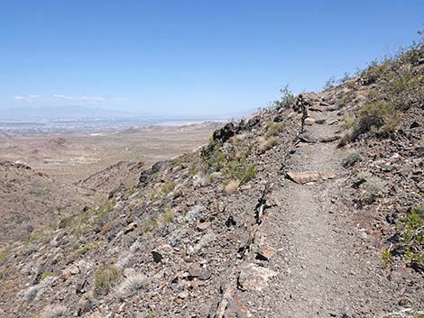
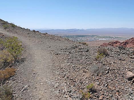 Ridgeline with view of Boulder City (view SE) |
 View of Boulder City from ridgeline (view SE) |
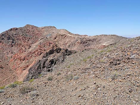 View of Red Mountain from ridgeline (view SE) |
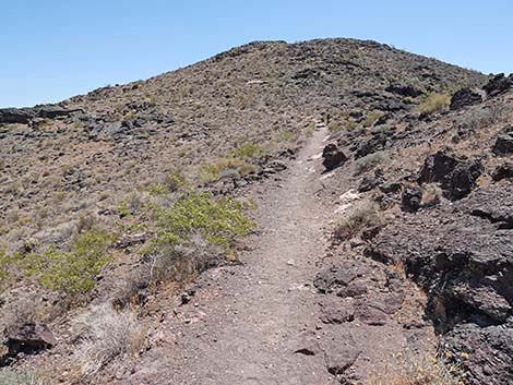
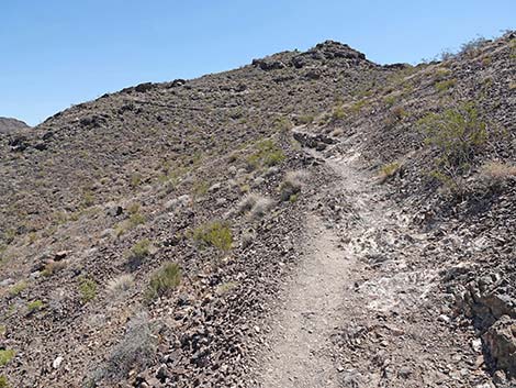 Trail continues towards summit at less gentle grade (view NE) |
 Trail continues towards summit at less gentle grade (view N) |
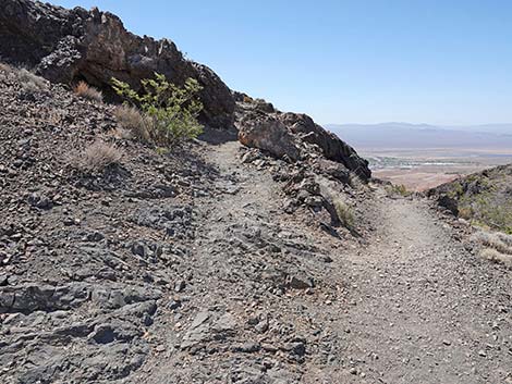
 Trail climbs with view of Las Vegas (view N) |
 Approaching another set of switchbacks (view N) |
 Turning the switchback (view S) |
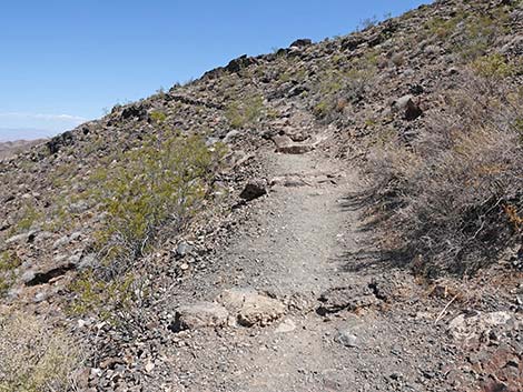
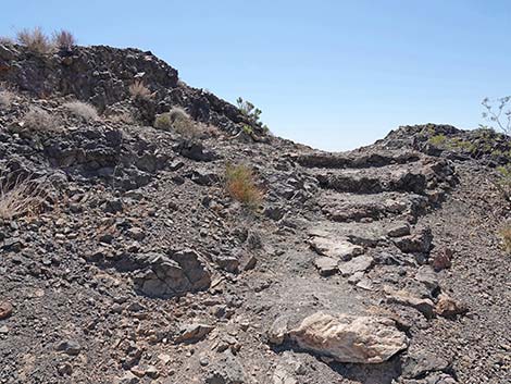 A few stairs before reaching the ridgeline again (view S) |
 Boulder City (view S from the ridgeline) |
 Turning another switchback (view N) |
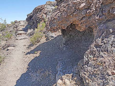 A rocky alcove provides shade on hot mornings (view N) |
 Approaching yet another switchback (view N) |
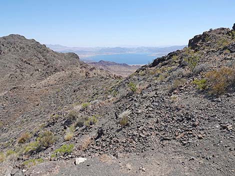 Lake Mead (view NE from the switchback) |
 Turning the switchback (view N) |
 A few more steps and another switchback (view S) |
 Turning the last switchback (view NE towards summit) |
 Steep, rocky trail approaches the summit (view NE) |
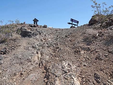
 Arriving on the summit (view E) |
 Geology information sign (view NW towards Las Vegas) |
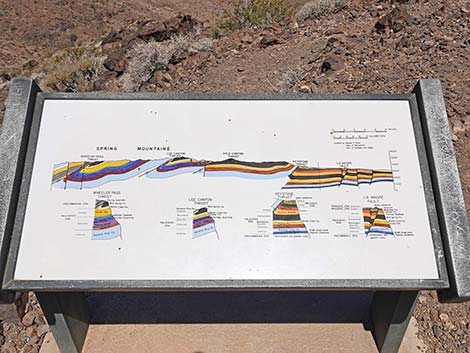 Geology information sign (view NW towards Las Vegas) |
 Geology information sign (view NE towards Lake Mead) |
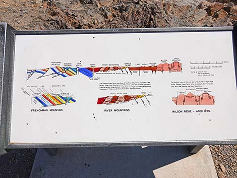 Geology information sign (view NE towards Lake Mead) |
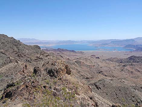 Summit View: Lake Mead (view NE) |
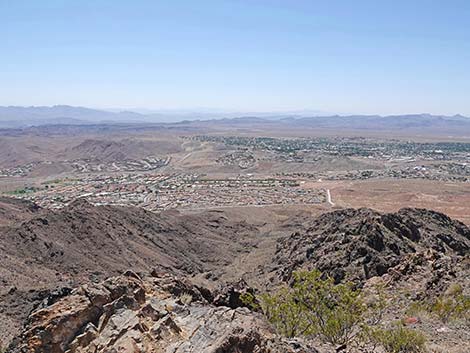 Summit View: Boulder City (view SE) |
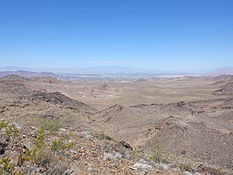 Summit View: Las Vegas (view NW) |
 Summit View: Red Mountain (view SW) |
Table 1. Highway Coordinates (NAD27; UTM Zone 11S). Download Highway GPS Waypoints (*.gpx) file.
| Site # | Location | Latitude (N) | Longitude (W) | UTM Easting | UTM Northing | Elevation (feet) | Verified |
|---|---|---|---|---|---|---|---|
| 0802 | Hwy 93 at Stoplight in Boulder City | 35.97418 | 114.84526 | 694284 | 3983031 | 2,460 | Yes |
| 1016 | Hike-up Trailhead | 35.98371 | 114.84151 | 694599 | 3984096 | 2,423 | GPS |
| 1021 | Hwy 93 at Yucca St. | 35.96959 | 114.85416 | 693493 | 3982504 | 2,435 | GPS |
| 1022 | Bootleg Canyon Road at River Mt Loop Tr | 35.98223 | 114.85735 | 693174 | 3983900 | 2,670 | GPS |
| 1023 | Bootleg Canyon Park | 35.98377 | 114.86138 | 692807 | 3984063 | 2,732 | GPS |
| 1024 | Bootleg Canyon Road Drive-up Trailhead | 35.99882 | 114.86019 | 692877 | 3985734 | 3,396 | GPS |
Table 2. Hiking Coordinates Based on GPS Data (NAD27, UTM Zone 11S). Download Hiking GPS Waypoints (*.gpx) file.
| Wpt. | Location | Easting | Northing | Elevation (ft) | Point-to-Point Distance (mi) | Cumulative Distance (mi) | Verified |
|---|---|---|---|---|---|---|---|
| 07 | Top of Canyon | 692969 | 3985836 | 3,295 | 0.00 | 0.00 | GPS |
| 08 | Trail Intersection | 692960 | 3985887 | 3,268 | 0.03 | 0.03 | GPS |
| 09 | Trail Intersection | 693193 | 3985943 | 3,343 | 0.21 | 0.24 | GPS |
| 10 | Black Mt Overlook (summit) | 693515 | 3985937 | 3,526 | 0.36 | 0.60 | GPS |
Happy Hiking! All distances, elevations, and other facts are approximate.
![]() ; Last updated 240326
; Last updated 240326
| Hiking Around Lake Mead | Hiking Around Las Vegas | Glossary | Copyright, Conditions, Disclaimer | Home |