Hiking Around Las Vegas, Gold Butte
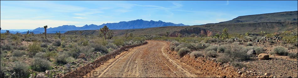
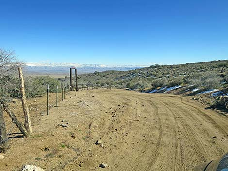
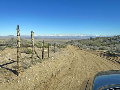
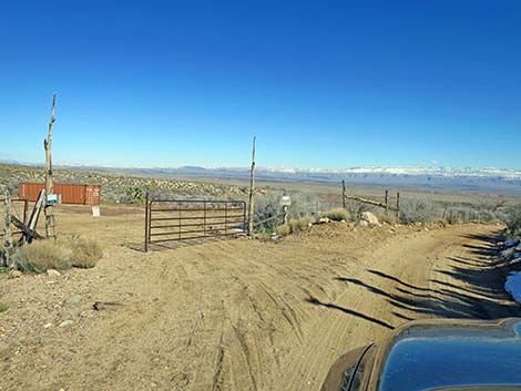
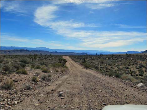
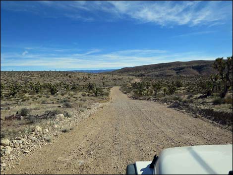
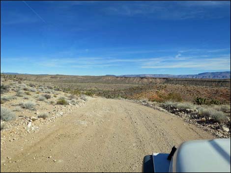
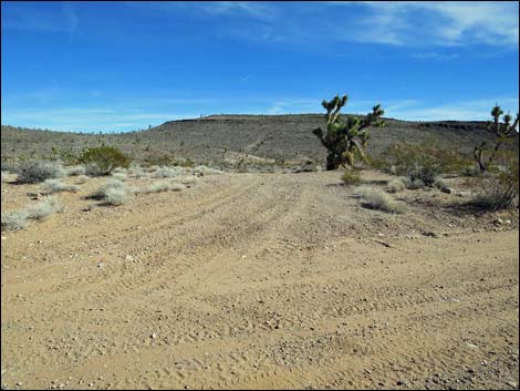
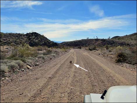
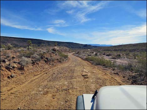
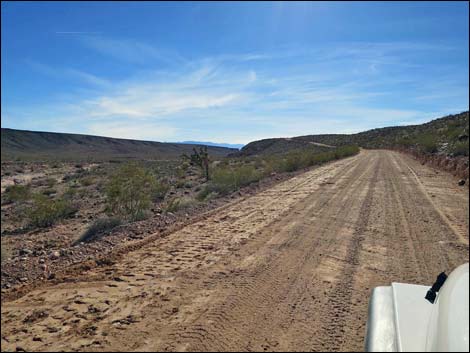
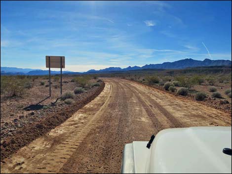
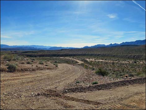
 Whitney Pass Road ends at fork, where Pakoon Road starts (view SE) |
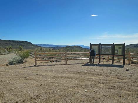
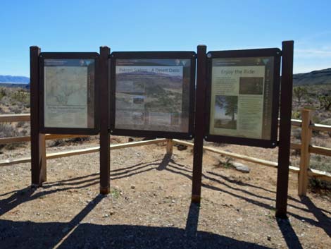
Overview Pakoon Road (County Road 111) runs from a three-way intersection with Whitney Pass Road and Lime Kiln Road (County Road 101) southeast into the wild and remote Arizona Strip country of Grand Canyon - Parashant National Monument, a vast land of towering cliffs, broad valleys, and grand solitude. Generally heading south, the road descends into Pakoon Valley and follows it southward passing Pakoon Spring, proper, a striking but oddly named volcanic butte (Negrohead) that probably was renamed from something even less appropriate, and Burro Spring, to eventually arrive at a triangular intersection with Grand Wash Road (County Road 113). At Grand Wash Road, drivers can continue south towards Grand Wash Bay (now a mud flat) or turn northwest and return to Gold Butte in Nevada via St. Thomas Gap Road. Link to map. |
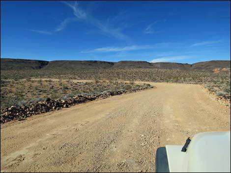
 Fork in the road: Wolf Hole Valley Road (left) and Pakoon Road (right) |
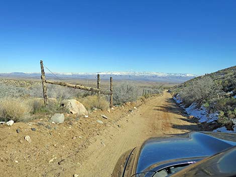
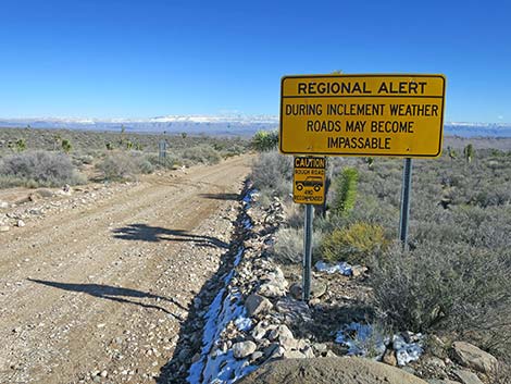
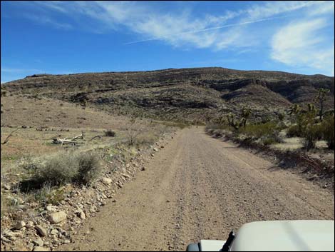
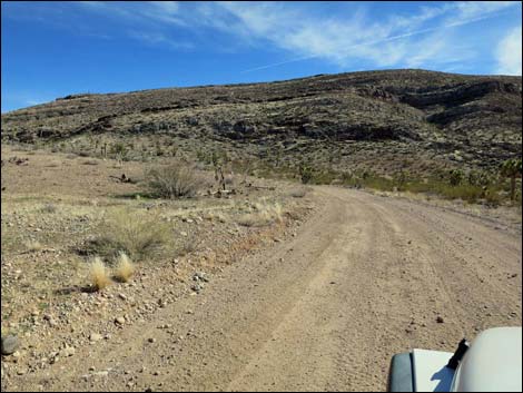
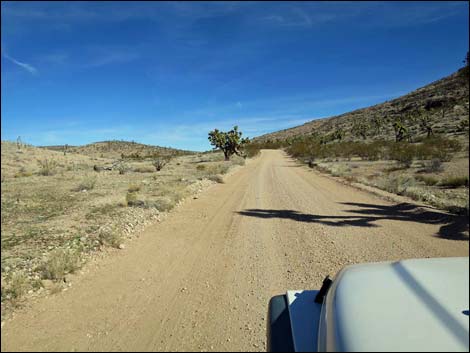
Watch Out Other than the standard warnings about driving in the desert, ... this road is one of the main, maintained dirt roads in the region, and as such, is relatively straight with gentle curves and a smooth surface. Near Burro Spring, there are two sharp and unexpected switchback curves. This is a wild and remote area without services of any kind (no restrooms, no water, no gas, no food). Bring what you need to survive. Be prepared and be self-reliant. Someone will find you eventually if you stay on a main road, but be prepared to survive alone for a day or two. Cell phones don't work. While visiting the area, please respect the land and the other people out there, and try to Leave No Trace of your passage. Also, this area is remote, so be sure to bring the 10 Essentials. |
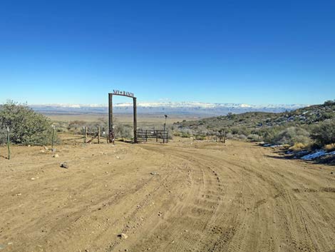
 Backside of Gold Butte boundary sign (view E) |
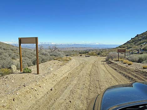
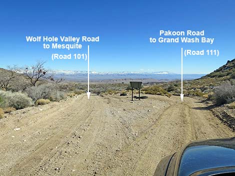
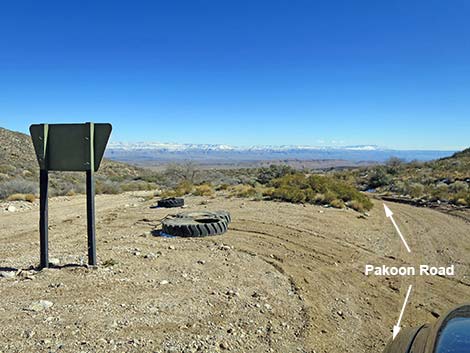
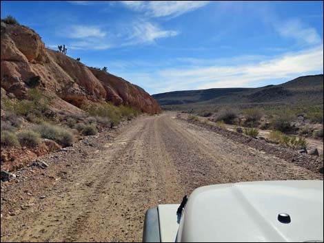
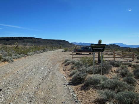
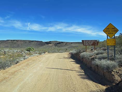
Getting to the Roadhead Pakoon Road is located about 2-1/2 hours east of Las Vegas, in the wild, remote, and scenic Gold Butte south of the town of Mesquite. From Las Vegas, drive out to Gold Butte. Drive south 21 miles on the paved Gold Butte Road to Whitney Pocket at the end of the pavement. About 100 yards past the pavement, turn left onto Whitney Pass Road and drive east towards the mountains. Drive 4.3 miles to Whitney Pass (the highest point), then continue down the other side another 0.8 miles (5.1 miles total) to a signed fork in the road. At the fork, County Road 101 bends left towards Wolf Hole Valley (39 miles) and St. George, UT (70 miles), while Pakoon Road (County Road 111) stays right towards Grand Wash Bay (25 miles). |
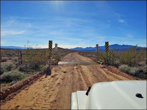
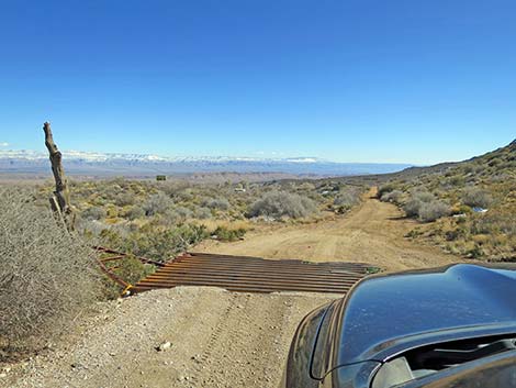 Pakoon Road crosses cattle guard (view SE) |
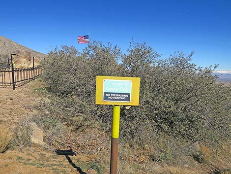
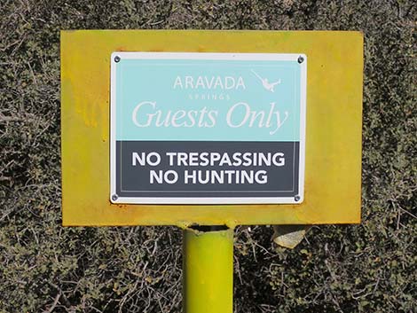
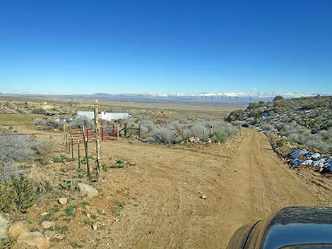
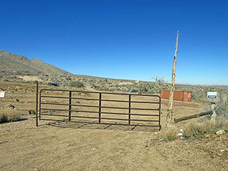
The Road From Whitney Pass Road (Table 1, Site 1659), Pakoon Road stays right towards Grand Wash Bay. Shortly, the road crosses a fenceline at a cattle guard and buildings come into view ahead on the left. The buildings are headquarters of the Nay Ranch. The road crosses the ranch, which is about 180 acres of private land, a fact made abundantly clear by the plethora of "Keep Out" and "No Trespassing" signs. I understand that the ranch formerly was the Whitney Ranch, from which Whitney Pass and Whitney Pocket were named, but it is now the Nay Ranch, as stated on a nice ranch gate ahead on the left. There is also a family cemetery along the road, on a hilltop overlooking the ranch. If someone were to have an emergency, I'm sure the families here would be happy to help, but otherwise please respect their property rights and solitude. |
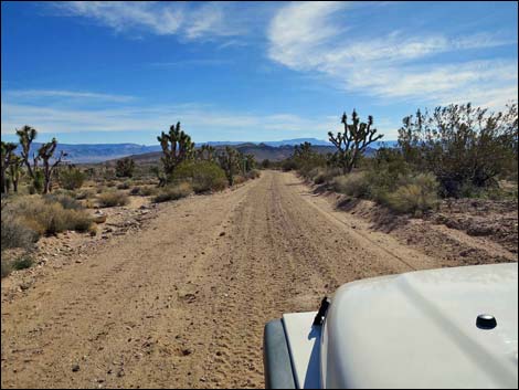
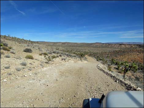
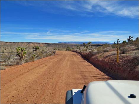
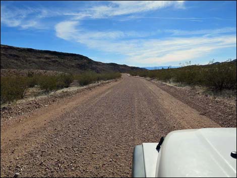
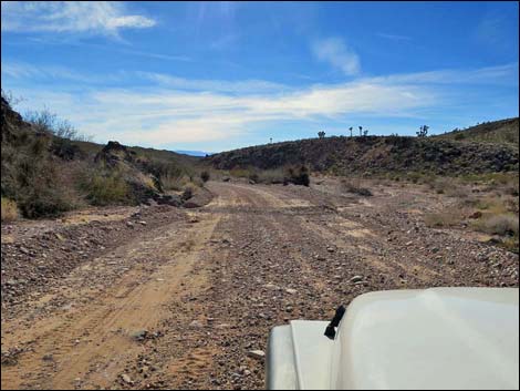
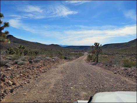
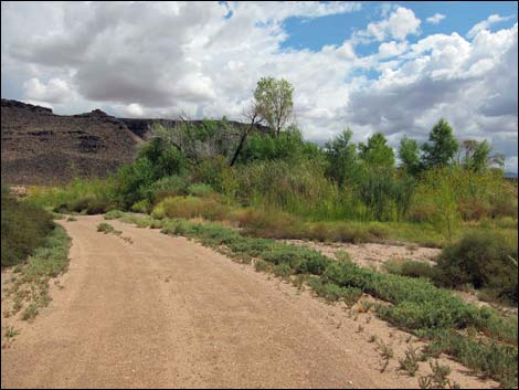
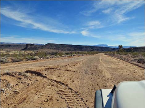
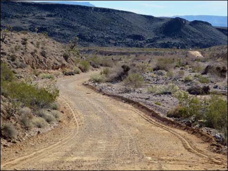
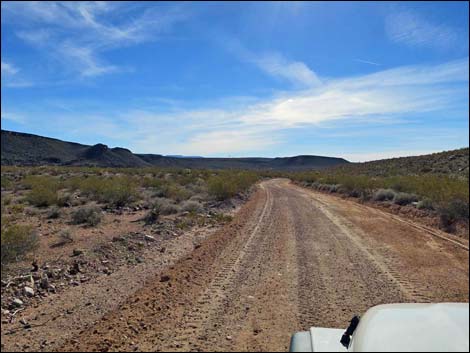
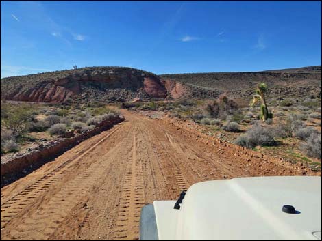
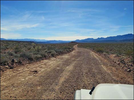
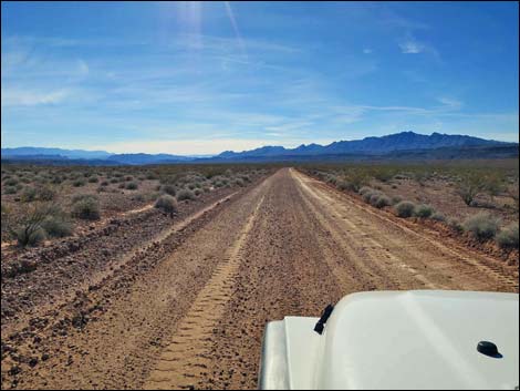
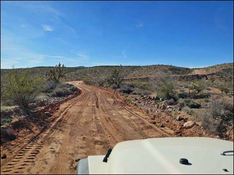
 Pakoon Road (view SE) |
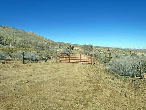
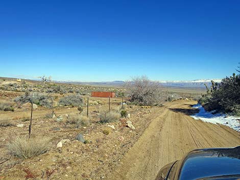
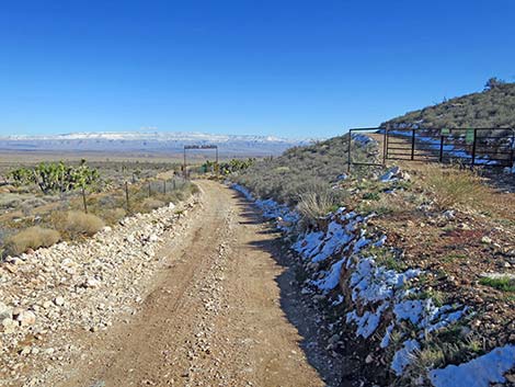
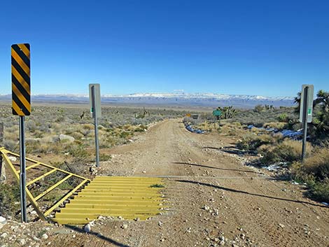
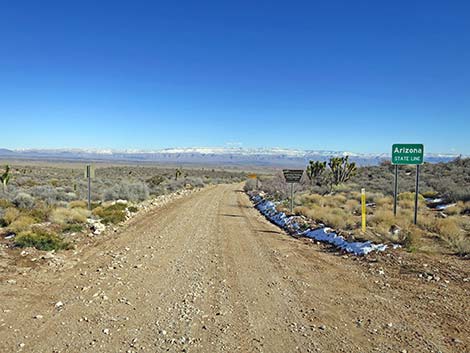
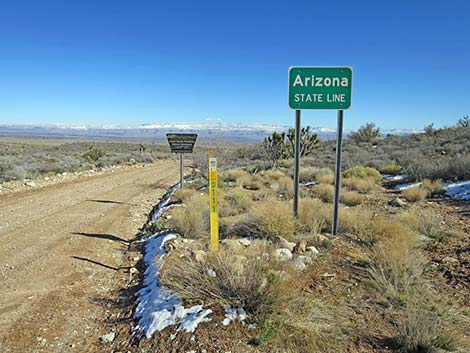
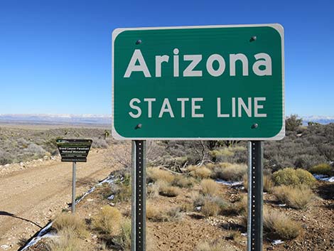
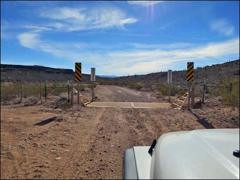
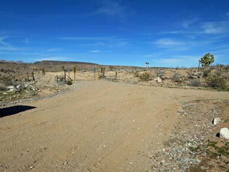
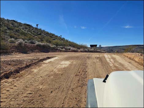
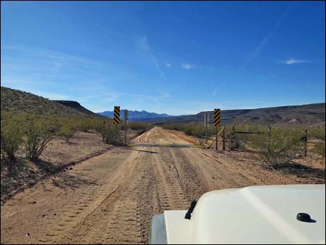
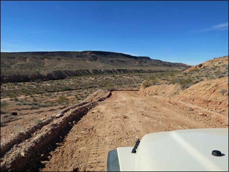
Beyond the main Nay Ranch gate (0.5 miles out), Pakoon Road continues southeast and shortly (0.6 miles out) passes another gate on the left marked with No Trespassing signs. This is the end of the private property. At about 0.9 miles out, the road crosses a cattle guard (Site 1761) and enters Arizona. Signs announce the state line, entry into Grand Canyon -- Parashant National Monument, and roadway warning signs, but not directional or mileage signs. Continuing southeast, the road runs fairly smooth and fairly straight towards the bottom of the valley. When the road appears ready to run into the side of a ridge, it abruptly bends left to run around the north end of the ridge. As the road rounds the toe of the ridge, it passes an intersection (5.3 miles out) with a lesser road (Road 1634) to the left. This road doesn't look like much, but judging from aerial photos, it seems to run 5-6 miles and could be used to make a big loop around the Nay Ranch. |
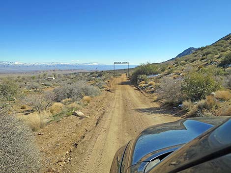
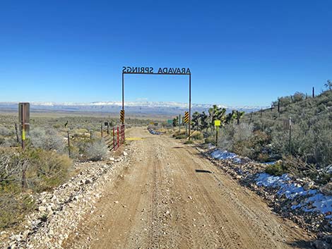
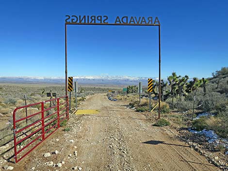
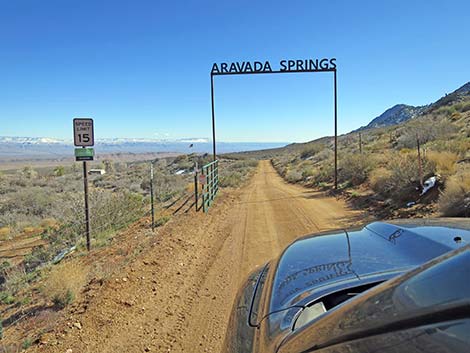 Entering Aravada Springs Ranch (private property; stay on road) |
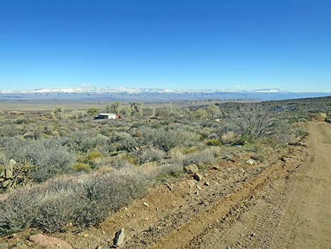
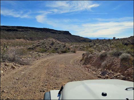
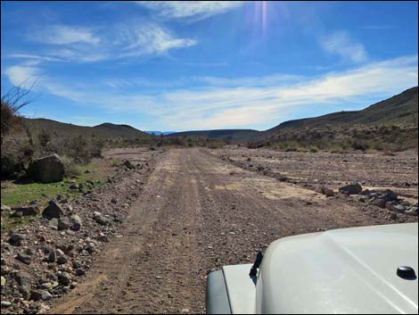
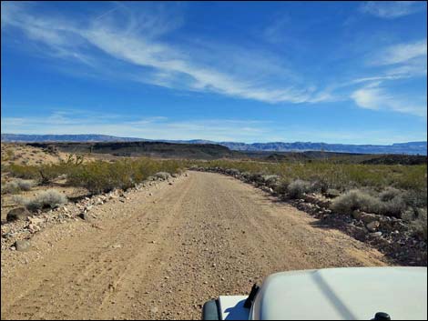
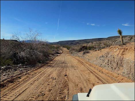
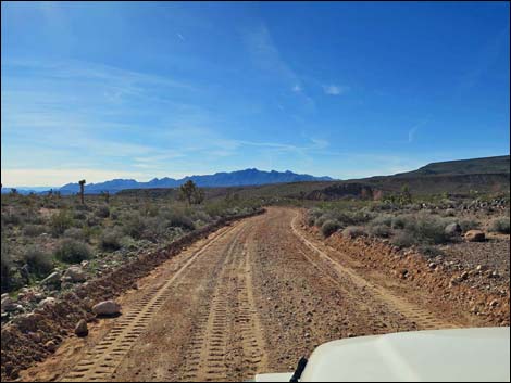
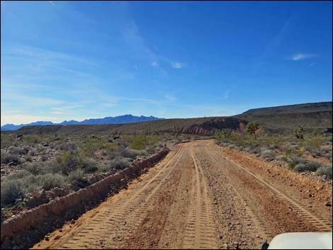
Pakoon Road, now marked County Road 111, continues to bend around the toe of the ridge, resumes a southerly direction, and at 5.5 miles out crosses another cattle guard. At 7.6 miles out, Pakoon Road passes a minor side road to the left. This road runs a short distance to an old corral, then continues east across the hills. The corral is visible from the main road just ahead. At 7.9 miles out, Pakoon Road crosses yet another cattle guard and shortly winds down into the bottom of the canyon to follow Pakoon Wash. The road here is subject to washout as the road dips into and out of the wash, and sometimes simply runs down the wash, but the roadbed is firm, so deep sand should not be a problem. At about 9.5 miles out, the road again dips into Pakoon Wash, but this time runs more in the wash and is more subject to washouts. At about 10.4 miles out, the road bends left around the corner of a mud ridge, exits the wash, and runs more to the east. |
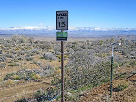 Speed limit on Aravada Ranch property (view E) |
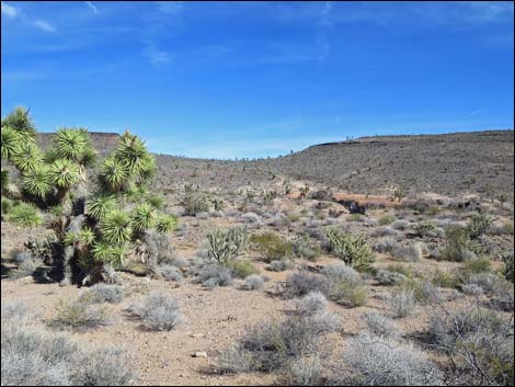
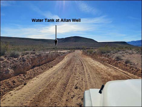
At 10.7 miles out, the road forks more-or-less equally (Site 1757). Here, the left runs out to the historic site of Pakoon Ranch. The ranch buildings are gone, and Monument personnel continue working to rehabilitate the area trying to eradicate non-native invasive species and restore the wetlands for the benefit of wildlife and migratory birds. Without driving in, trees and other vegetation at Pakoon Spring are visible from the main road a short way south. Passing a low ridge on the left, the road forks equally (11.3 miles out). The main road stays right, but both roads merge in about 0.3 miles. At about 12 miles out, looking north up the valley, an interesting volcanic butte stands isolated against the skyline. This feature, named Negrohead, includes columns of basalt that look like Devils Postpile in California. This butte is a volcanic neck - the remains of a conduit that fed a volcano. Continuing south, the road winds down into another wash area subject to washout, but generally runs on higher ground. The road winds around an old ranching water tank that comes into view on the left; this is Allan Well. |
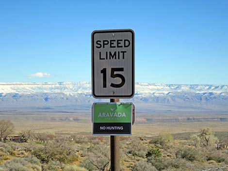 Please respect speed limit while crossing private property (view E) |
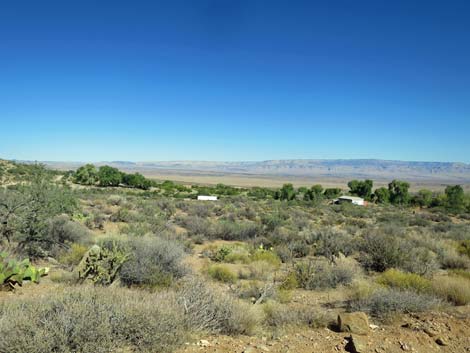
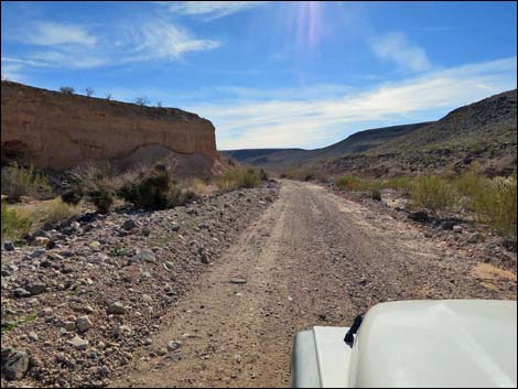
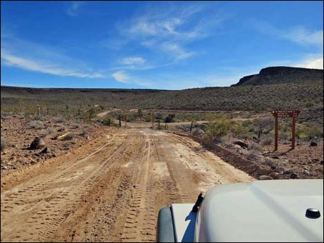
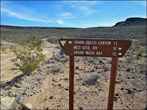
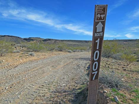
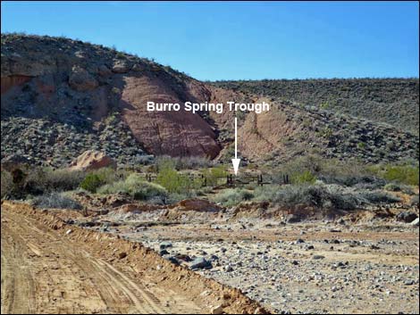
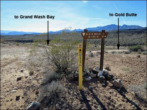
Shortly thereafter, the road dips through a wash, bends left, and arrives at another cattle guard (Site 1758; 13.3 miles out). Just past the fence, the road forks at a signed intersection. To the left, Road 1007 runs northeast to Wolf Hole and points east, while Pakoon Road bends right towards Grand Wash Bay. Unexpectedly, the sign also indicates that staying right leads to Mesquite, NV. In this case, drivers can continue south before looping back through Gold Butte heading north to Mesquite. Staying right, a road quickly merges from the left. This is the other arm of a big triangular signed intersection, and the main road stays right again. By this point, Pakoon Wash has merged with Cottonwood Wash, and the road continues south through Cottonwood Valley until crossing Cottonwood Wash (again, subject to washout) to Burro Spring on the far side at the base of mud cliffs. Burrow Spring (14.6 miles out) still has a bit of water (at least in the wet season), but the main feature is an historic wooden watering trough visible from the roadway. |
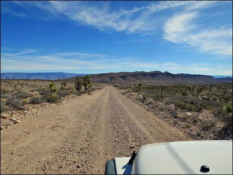
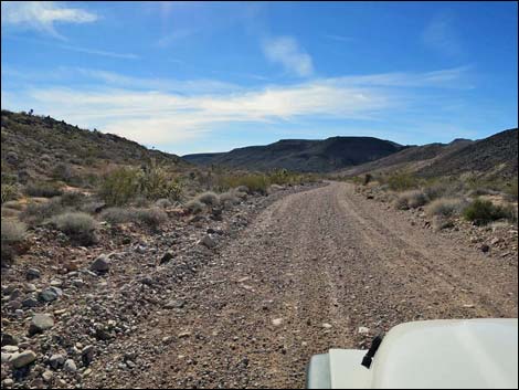
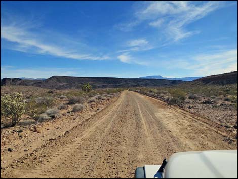
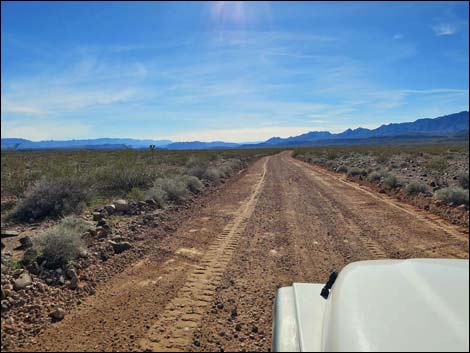
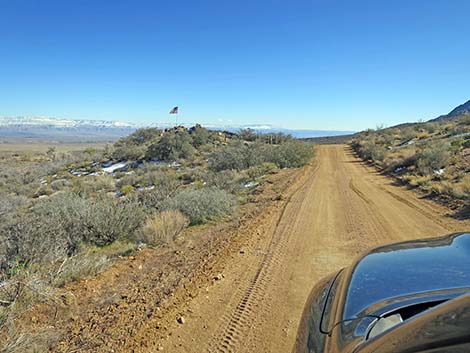 Pakoon Road (view SE) |
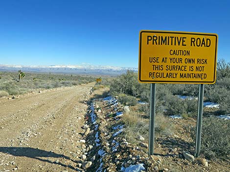
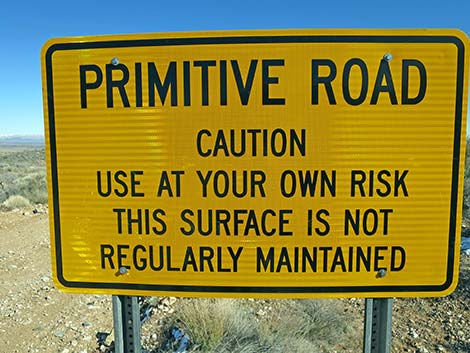
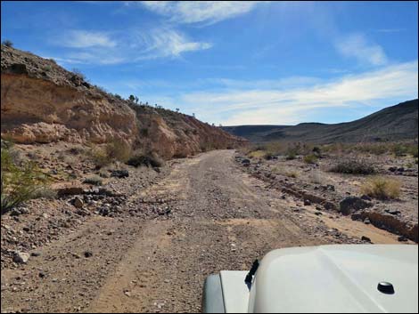
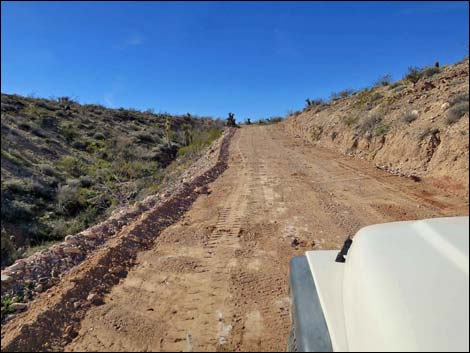
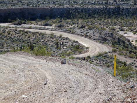
Beyond Burro Spring, the road cuts up and across the mud hillside. Somewhat surprisingly, at the top of the cliffs, the road cuts hard to the right, then equally hard back to the left in a tight switchback on the upper desert flats. Beyond there, the road runs gently south across high, scenic country. The road passes a cattle guard (15.3 miles out) and continues south. A broad canyon becomes visible on the right, and eventually the road runs down a ridge to cross the wash, which is definitely subject to washouts. Climbing out the other side of the wash, the road climbs somewhat steeply to desert flats above, again with grand views out over this big country. The next intersection is hinted at when drivers pass a Primitive Road sign set for drivers heading the other way, although the real hint is a directional sign at what appears to be the top of a cliff. |
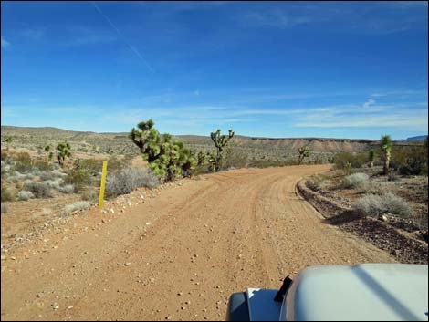
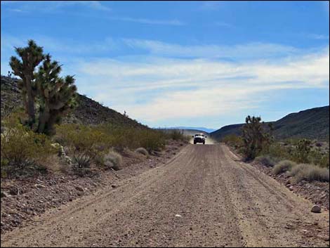
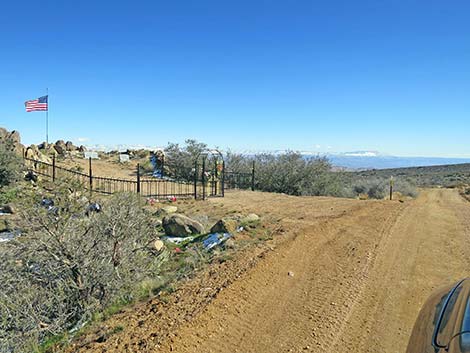 Pakoon Road approaching family cemetery (view SE) |
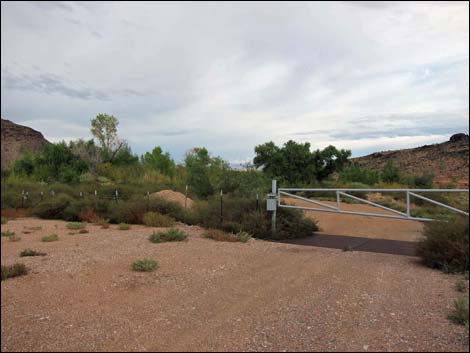
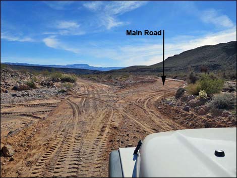
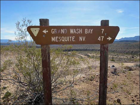
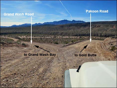
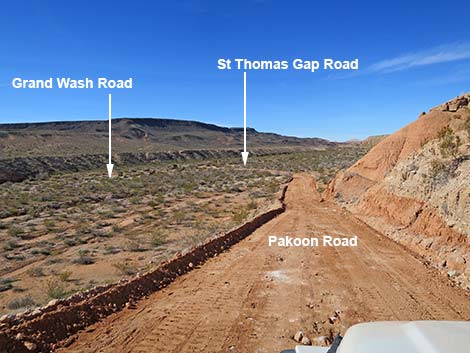
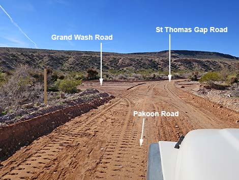
Heading south for the first time, this intersection can be a bit confusing. The sign indicates that Mesquite (47 miles) is to the right and Grand Wash Bay is to the left (7 miles), and indeed, a bit of a road runs left along the edge of the cliff. However, drivers need to continue south, tipping over the edge of the cliff, before the left turn towards Grand Wash Bay comes into view. Just over the edge, Grand Wash Bay Road (County Road 113) forks left while Pakoon Road stays right hugging the side of the cliff. Eventually Pakoon Road drops into Black Wash, which like others, is subject to washouts, and reaches a road intersection (Site 1759). Here, St. Thomas Gap Road runs right, up the sandy Black Wash, into Nevada and Gold Butte National Monument on the way back towards Mesquite. To the left, Grand Wash Bay Road (County Road 113) runs down the wash, and it becomes apparent that this is yet another big triangular intersection. This is no destination, so drivers need to decide: left or right -- which adventure comes next? |
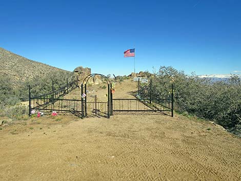 Final resting place for pioneer families (view NE) |
 Please respect private property at the family cemetery (view NE) |
 Please respect private property at the family cemetery (view NE) |
 Nay Ranch area (Aravada Springs Ranch is in the Nay Ranch area) |
 Nay Ranch area (view NE) |
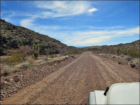
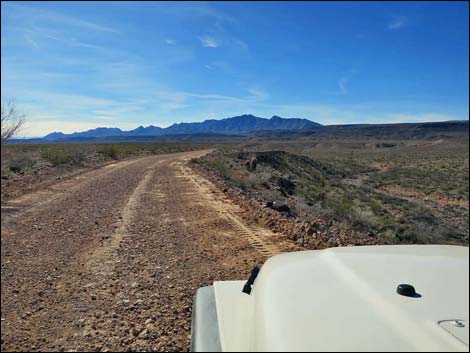
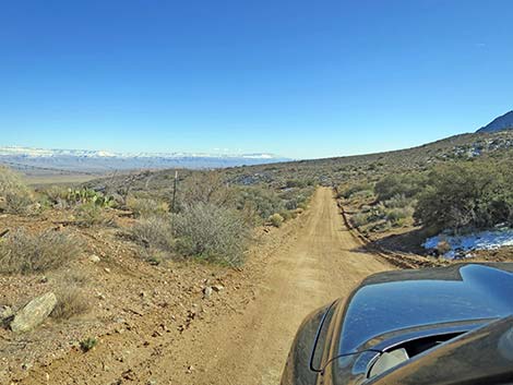 Pakoon Road (view SE) |
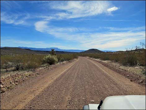
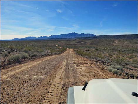
 Pakoon Road (view SE) |
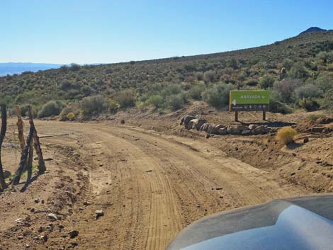 Approaching Aravada Springs Ranch entrance sign (view SE) |
 Pakoon Road at Aravada Springs Ranch entrance sign(view SE) |
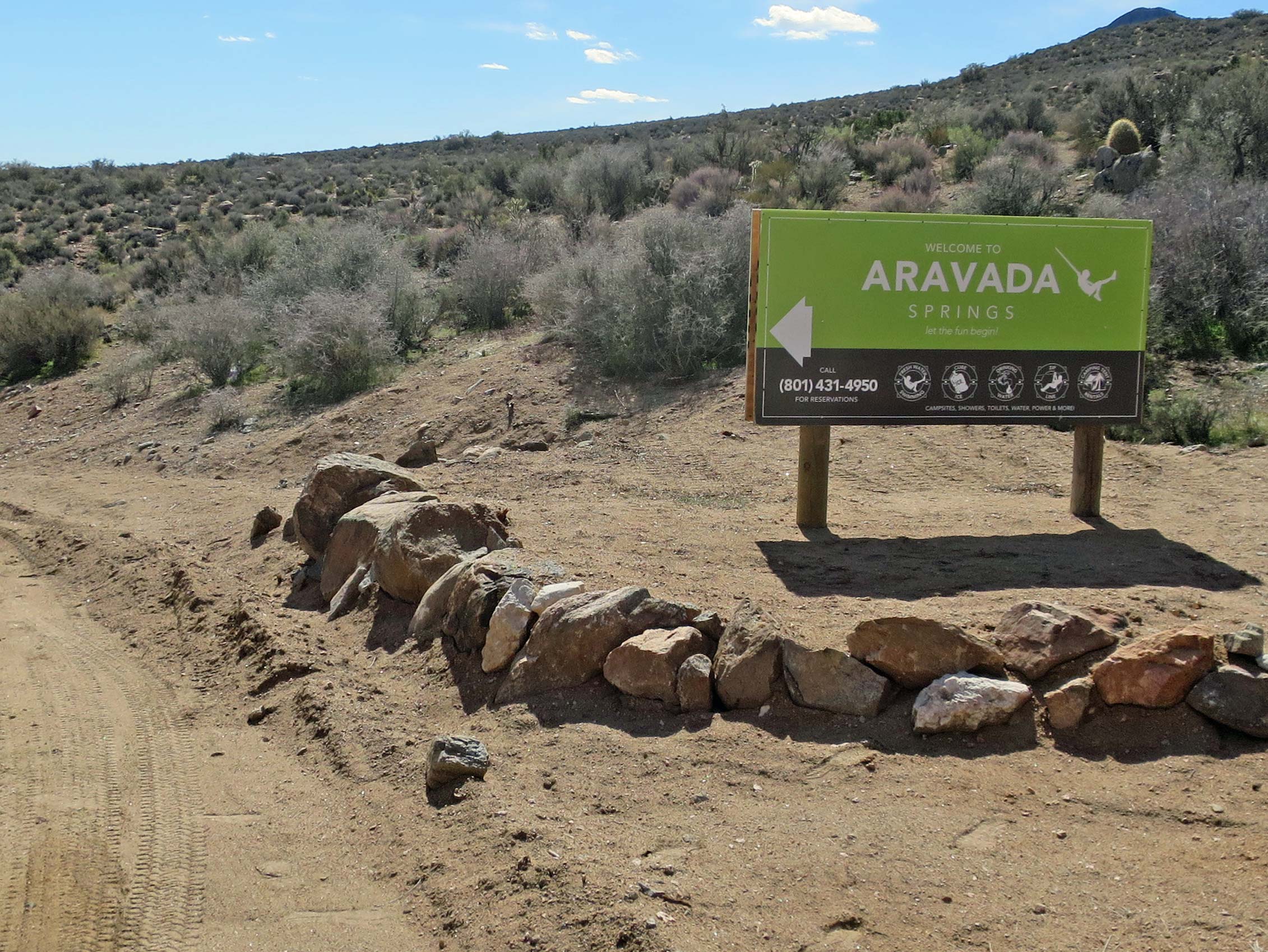
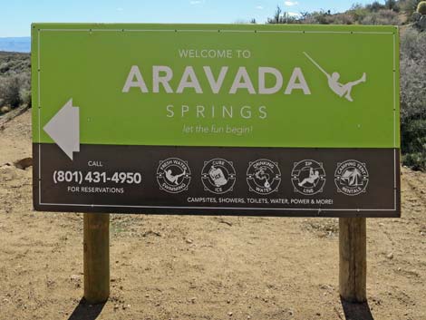 Aravada Springs Ranch entrance sign (view SE) |
 Pakoon Road approaching Aravada Springs Ranch entrance (view SE) |
 Pakoon Road at Aravada Springs Ranch entrance (view SE) |
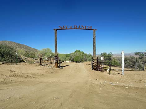 Entrance to Aravada Springs Ranch (Nay Ranch gate; view N) |
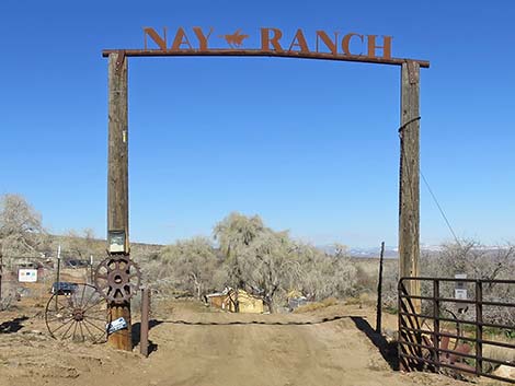 Nay Ranch gate (entrance to Aravada Springs; view N) |
 Pakoon Road continues past Nay Ranch gate (view E) |
 Pakoon Road approaching another ranch gate (view E) |
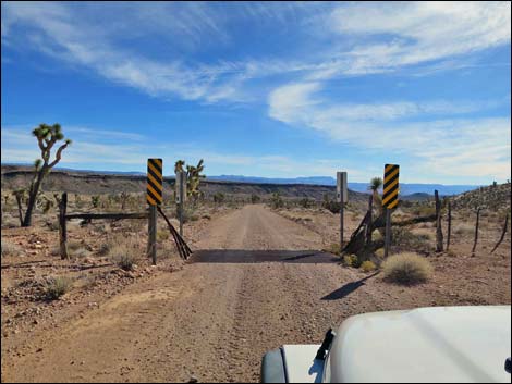
 Ranch gate (view N from Pakoon Road) |
 Pakoon Road continues across private property (view E) |
 Pakoon Road at another ranch gate (view E) |
 Ranch gate (view N from Pakoon Road) |
 Pakoon Road continues across private property (view SE) |
 Pakoon Road continues across private property (view SE) |
 Pakoon Road at another ranch gate (view SE) |
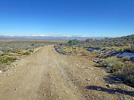
 Pakoon Road approaching Aravada Springs Ranch boundary (view SE) |
 Exiting Aravada Springs Ranch at Arizona state line (view SE) |
 Cattle guard on the state line (view SE) |
 Pakoon Road in Arizona approaching state line signs (view SE) |
 Pakoon Road approaching Arizona state line sign (view SE) |
 |
 |
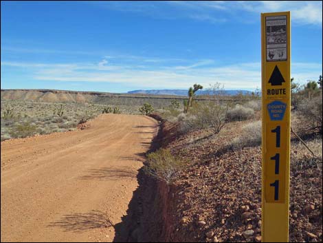
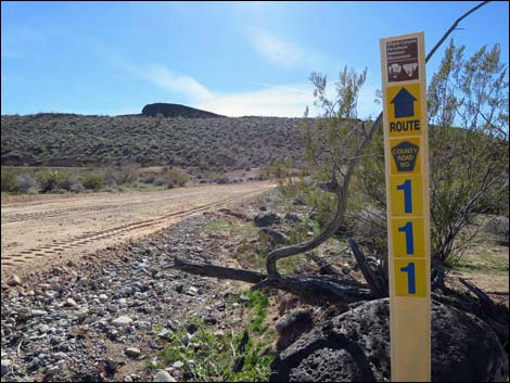
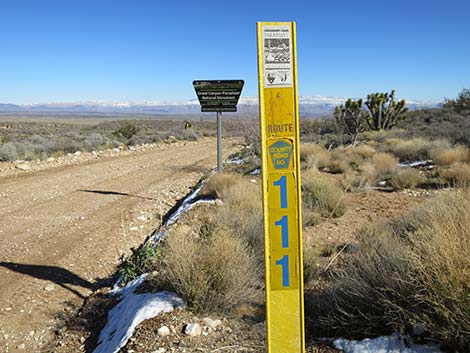 Pakoon Road is Mohave County Road #111 (view SE) |
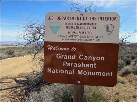
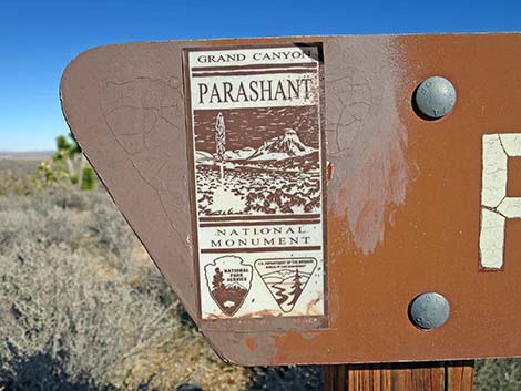
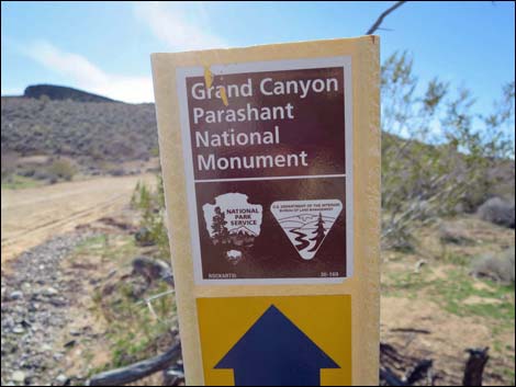
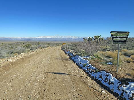 Pakoon Road approaching Grand Canyon - Parashant sign (view SE) |
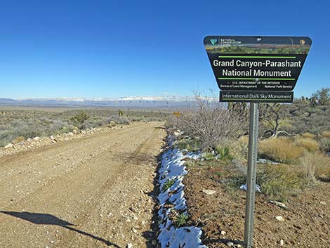 Grand Canyon - Parashant National Monument sign (view SE) |
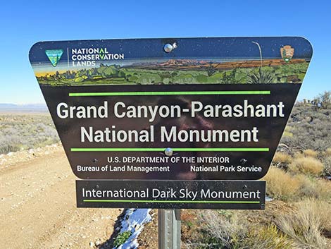 Grand Canyon - Parashant National Monument sign (view SE) |
 Historical Grand Canyon -- Parashant National Monument sign |
 Pakoon Road at carsonite sign (view SE) |
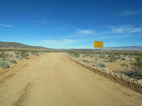
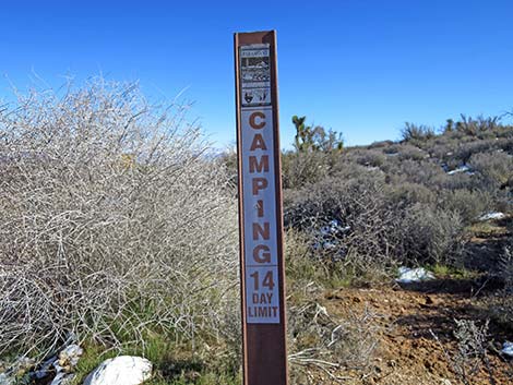 14-day camping limit sign in GC-Parashant (view SE) |
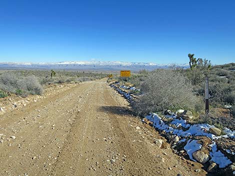
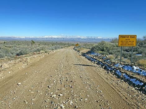 Pakoon Road approaching Primitive Road sign (view SE) |
 |
 |
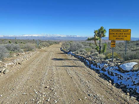 Pakoon Road approaching Regional Alert sign (view SE) |
 Regional Alert sign (view SE) |
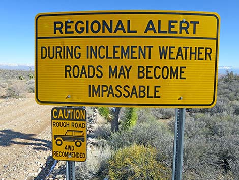 Regional Alert sign and 4x4 vehicles recommended (view SE) |
 Pakoon Road approaching backside of caution sign (view SE) |
 Pakoon Road continues into Arizona (view SE) |
 Pakoon Road approaching Warning sign (view SE) |
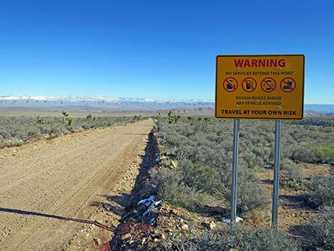 Pakoon Road at Warning sign (view SE) |
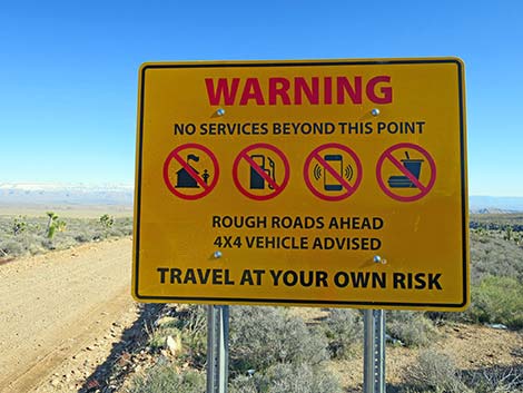 Warning: no ranger station, no gasoline, limited cell service, no food |
 Pakoon Road approaching placename sign (view SE) |
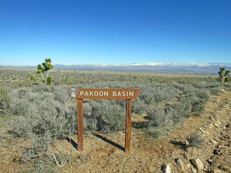 Pakoon Road at placename sign (view E) |
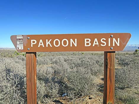 Pakoon Road is named for Pakoon Basin (view E) |
 Note that this is a Grand Canyon Parashant sign (view E) |
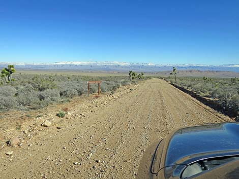
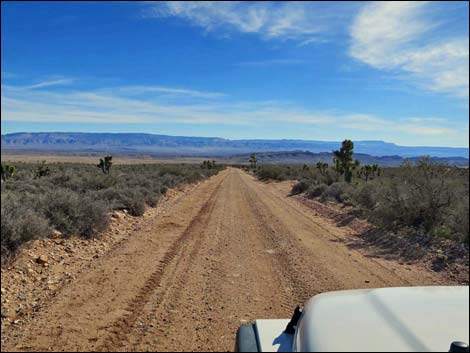 Pakoon Road is graded fairly regularly (view SE) Pakoon Road is graded fairly regularly (view SE) |
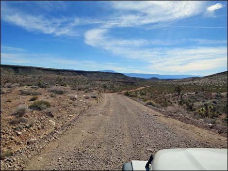
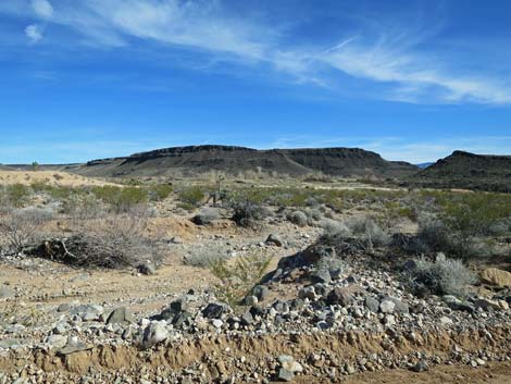
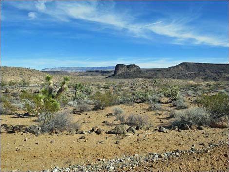
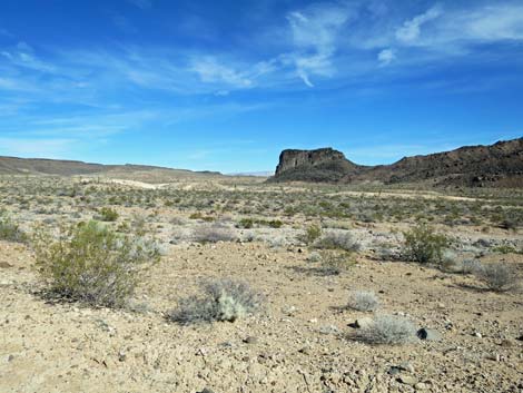
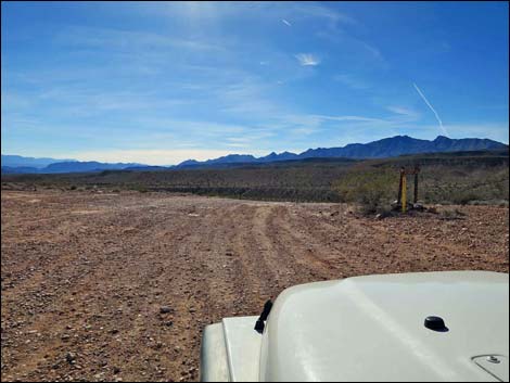
 Broad, open desert (view SE) |
 |
 |
 |
 |
 |
 |
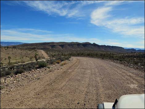
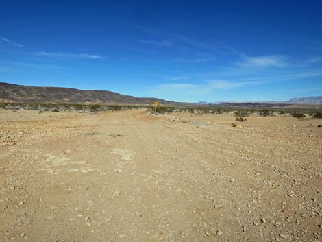
 Approaching the ridge, the road bends left (view E) |
 Running around the end of the ridge (view NE) |
 |
 |
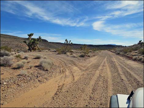
 Pakoon Road approaching Road 1634 (view NE) |
 Road 1634 (view NE from Pakoon Road; 5.3 miles out) |
 Continuing around the toe of the ridge (view E) |
 Designated road marker (County Road 111; view E) |
 Cattle guard (view SE; 5.5 miles out) |
 Descending towards Pakoon Wash (view SE) |
 Approaching Pakoon Wash (view SE) |
 Crossing Pakoon Wash (view SE) |
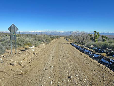
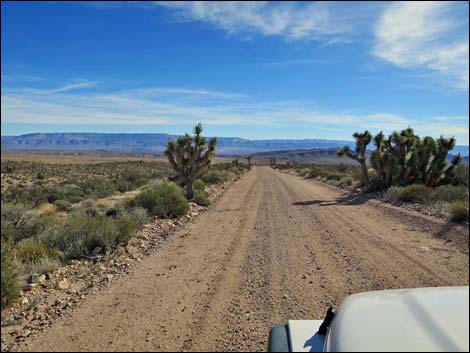
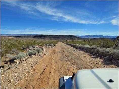
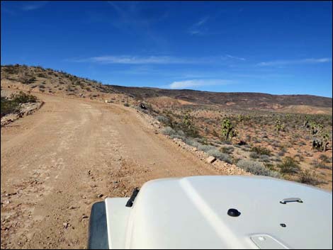
 Good road and grand, open scenery (view S) |
 Pakoon Road at Road 1632 (view SE; 7.6 miles out) |
 Road 1632 (view E from Pakoon Road) |
 Old corral down in the wash (view E from Pakoon Road) |
 Cattle guard (view SE; 7.9 miles out) |
 Descending into Pakoon Wash (view SE) |
 Even on a graded road, watch for road hazards: big rock (view S) |
 Minor washout at an area subject to major washouts (view S) |
 Broad, open canyon (view S) |
 The only other vehicle out here today (view S) |
 Descending back into Pakoon Wash (view S) |
 Entering Pakoon Wash (view S) |
 Pakoon Wash (view S) |
 Pakoon Wash (view S) |
 Pakoon Wash (view S) |
 Nice road running parallel to Pakoon Wash (view SE) |
 Pakoon Springs in the distance (view SE) |
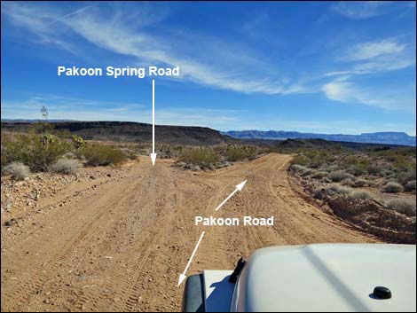 Pakoon Road at Pakoon Springs Road (view SE; 10.7 miles out) |
Detour onto Pakoon Spring Road
 Parking corral along Pakoon Springs Road (view SE) |
 Pakoon Springs sign (view SE) |
 |
 |
 Gate at end of Pakoon Spring Road (view SE) |
 Bird habitat recovering at Pakoon Spring (view E) |
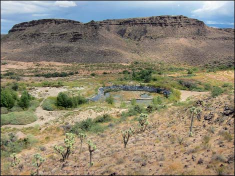 Pakoon Spring area (view SE from up on a hill) |
 More to come ... |
Continuing on Pakoon Road
 Passing Pakoon Spring area (view E from Pakoon Road) |
 Beyond Pakoon Spring, another triangle intersection (11.3 miles out) |
 Other end of the triangular intersection (11.6 miles out) |
 Beyond Pakoon Spring area (view S) |
 Negrohead Butte: the core or a volcano (view E from road) |
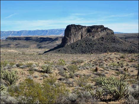 Negrohead Butte: a place-name that needs to change |
 Following along Pakoon Wash (view SE) |
 Dropping into Pakoon Wash one last time (view SE) |
 Last look back at the core of a volcano (view NE from road) |
 Near the confluence of Pakoon and Cottonwood Washes (view S) |
 Entering Cottonwood Wash (view S) |
 Crossing Cottonwood Wash at a narrow spot (view S) |
 Approaching road intersection (view SE) |
 Road intersection sign (view E) |
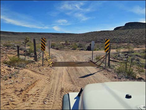 Cattle guard (view E; 13.3 miles out) |
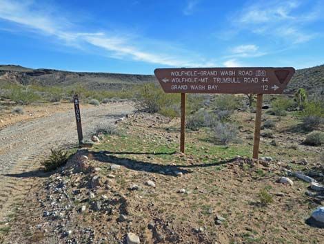 Sign at left fork (view SE) |
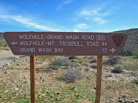 Sign at left fork (view SE) |
 Sign at left fork (view SE) |
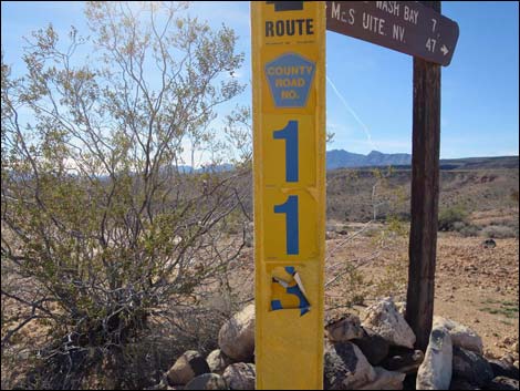
 Sign at right fork: route marker: County Road 111 (view S) |
 Top of the route marker (view S) |
 Looking back at fork in the road (view NW) |
 Approaching far side of triangular intersection (view SW) |
 Looking back at intersection (view N) |
 Looking back at directional sign (view N) |
 Cattle guard (view SW; 13.5 miles out) |
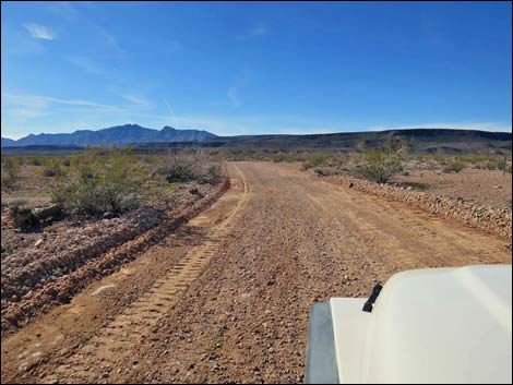
 Grand open Cottonwood Valley (view SW) |
 Cottonwood Valley (view SW) |
 Approaching Cottonwood Wash (view SW) |
 Cottonwood Wash is subject to major washouts (view W) |
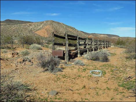 Burro Spring historic watering trough (view NW; 14.5 miles out) |
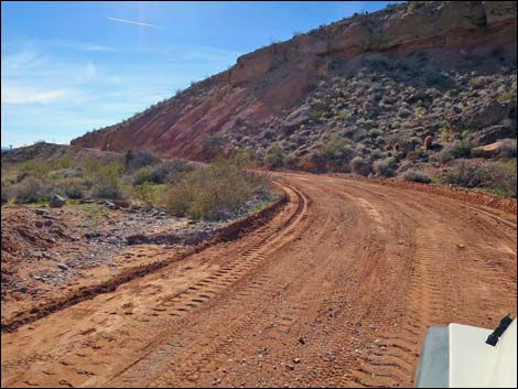 Pakoon Road climbs bank behind Burro Spring (view SW) |
 Pakoon Road climbs bank above Burro Spring (view S) |
 Between first and second sharp curves (view NW) |
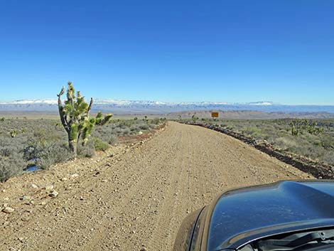
 Grand open desert scenery (view SW) |
 Cattle guard (view SW; 15.3 miles out) |
 Grand open desert scenery (view SW) |
 Grand open desert scenery (view SW) |
 Road runs along top of cliff (view SW) |
 Road drops towards North Fork of Black Wash (view SW) |
 Crossing North Fork of Black Wash (view SW) |
 Road climbs steeply beyond North Fork of Black Wash (view W) |
 Road climbs steeply beyond North Fork of Black Wash (view W) |
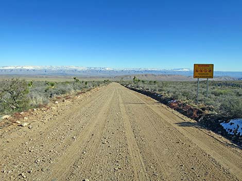
 Grand open desert scenery (view W) |
 Approaching backside of Primitive Road sign (view S) |
 Looking back at Primitive Road sign (view S) |
 Road intersection sign (view S; 17.7 miles out) |
 Looking back from intersection towards Primitive Road sign (view N) |
 Road intersection signs (view S) |
 Road intersection sign at edge of cliff (view S) |
 Road intersection sign (view SW) |
 Over the edge, Pakoon Road forks (view SW; 17.7 miles out) |
 Grand Wash Road (Rd 113; view S from Pakoon Road) |
 Grand Wash Road sign (Rd 113; view S from Pakoon Road) |
 Pakoon Road hugs the hillside (view W) |
 Pakoon Road hugs the hillside dropping into Black Wash (view NW) |
 Pakoon Rd at Grand Wash--St. Thomas Rd (view W; 17.9 miles out) |
Table 1. Highway Coordinates Based on GPS Data (NAD27; UTM Zone 11S). Download Highway GPS Waypoints (*.gpx) file.
| Wpt. | Location | Latitude (N) | Longitude (W) | Elevation (ft) | Point-to-Point Distance (mi) | Cumulative Distance (mi) | Verified |
|---|---|---|---|---|---|---|---|
| 1659 | Arizona Rd at Fork | 36.52592 | 114.05843 | 4,453 | 0.00 | 00.0 | Yes |
| 1761 | Pakoon Rd at State Line Cattle Guard | 36.51807 | 114.04822 | 4,153 | 0.86 | 00.9 | Yes |
| 1757 | Pakoon Rd at Pakoon Spring Rd | 36.41991 | 113.96447 | 2,359 | 9.84 | 10.7 | Yes |
| 1758 | Pakoon Rd at Side Road | 36.38635 | 113.95409 | 2,063 | 2.66 | 13.4 | Yes |
| 1759 | Pakoon Rd at St Thomas Gap Rd | 36.34606 | 114.00660 | 1,827 | 4.55 | 17.9 | Yes |
Happy Hiking! All distances, elevations, and other facts are approximate.
![]() ; Last updated 240326
; Last updated 240326
| Hiking Around Gold Butte | Hiking Around Las Vegas | Glossary | Copyright, Conditions, Disclaimer | Home |