Hiking Around Las Vegas, Gold Butte National Monument
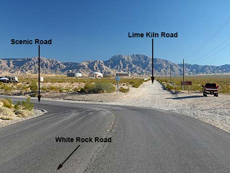 White Rock Rd at Scenic Rd (left) and Lime Kiln Canyon Rd (straight) |
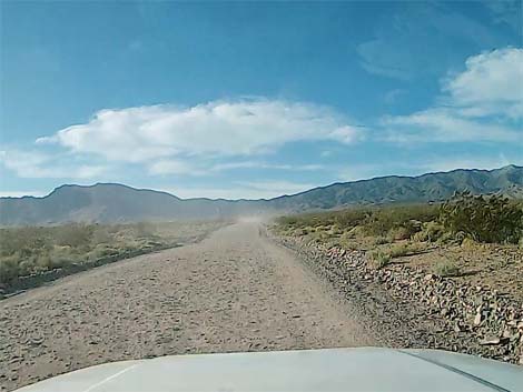
Overview Lime Kiln Canyon Road is a 4WD adventure that runs southeast from Mesquite, crosses the Virgin Range, and drops into Grand Canyon - Parashant National Monument. The road is considered to be a graded road, which is true until the next storm or the winter snows, but the road runs over bedrock in places where a grader is not the necessary equipment. Even so, the worst of the road is high in the mountains, and the lower reaches usually are suitable for 2WD, medium-clearance vehicles. This road can be used as part of a loop circumnavigating Virgin Peak. Starting in Mesquite, drivers can head southeast into Arizona, then loop back over Whitney Pass and return through Gold Butte National Monument to Mesquite. Otherwise, drivers can just continue south into the wilds of the Great-Back-of-Beyond. Link to map. |
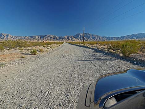
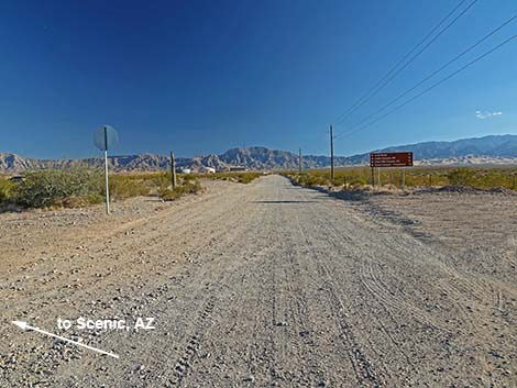 Starting onto Lime Kiln Canyon Rd (view S) |
Watch Out Other than the standard warnings about driving in the desert, ... this road is narrow, steep, and rocky such that that 4WD is always useful and sometime required, but it should be safe. Drive slowly on blind curves and over blind hilltops. This is a wild and remote area without services of any kind (no restrooms, no water, no gas, no food). Bring what you need to survive. Be prepared and be self-reliant. Someone will find you eventually if you stay on a main road, but be prepared to survive alone for a day or two. Cell phones only work along lower parts of the road. While visiting the area, please respect the land and the other people out there, and try to Leave No Trace of your passage. Also, this is a remote area, so be sure to bring the 10 Essentials. |
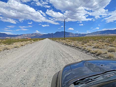
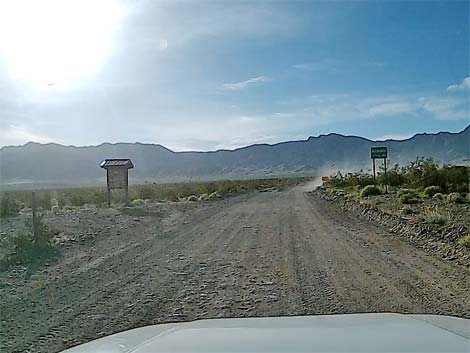
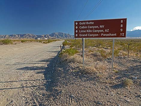 Lime Kiln Road at directional sign (view SE) |
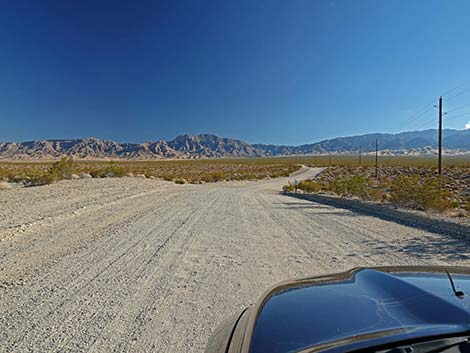
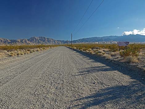
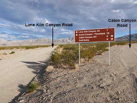
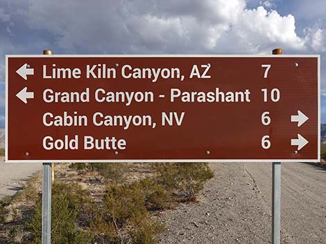
Getting to the Road Lime Kiln Canyon Road is located about 1-1/2 hours east of Las Vegas, just southeast of the town of Mesquite. From Las Vegas, drive out Interstate-15 to Mesquite. Take Exit 120 onto Falcon Ridge Pkwy/W Mesquite Blvd, drive straight through the round-about, and continue 0.8 miles to a traffic light at Riverside Road. Turn right onto Riverside and drive south 1.1 miles, just across the Virgin River, to White Rock Road, on the left. Turn left onto White Rock Road and drive east, then southeast for 1.1 miles to where the pavement curves left to become Scenic Road. Here, at the bend, Lime Kiln Canyon Road continues straight southeast onto the dirt. A directional sign on the right indicates that Lime Kiln Canyon lies 7 miles ahead. |
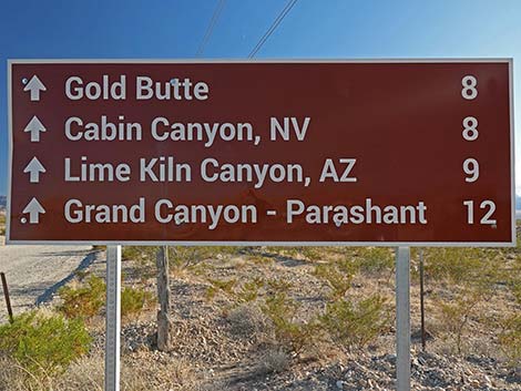 Directional sign (view SE) |
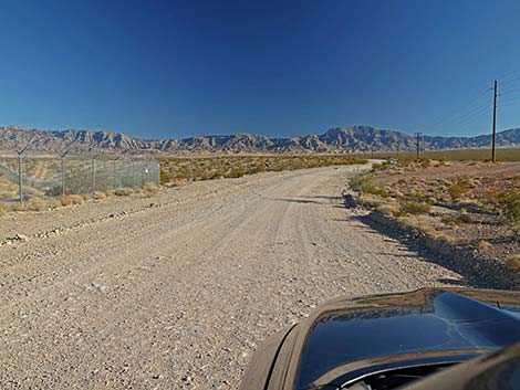
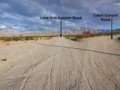
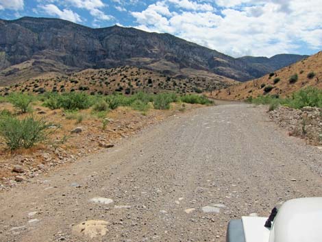
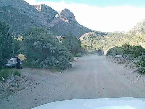
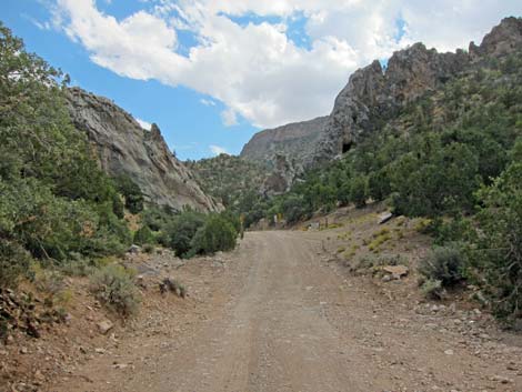
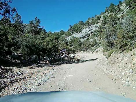
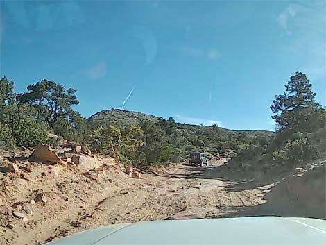
The Road From White Rock Road at Scenic Road (Table 1, Site 1861), Lime Kiln Canyon Road runs southeast as a graded, dirt road. In this area, the road can be washboarded, but usually is well maintained. At about 0.5 miles out, the road passes a water district facility, which is the last of the buildings and the last cell tower along the road. Continuing, the road traverses rolling country as it gently climbs the bajada, and there are a couple of traditional campsites on the right. At about 2.1 miles out, Lime Kiln Canyon Road crosses a cattle guard and forks (Site 1862). Lime Kiln Canyon Road continues straight (left) while Cabin Canyon Road forks to the right. Lime Kiln Canyon Road runs more-or-less straight, punctuated by slight bends to the right, then the left, and back right again, consistently trending to the southeast. |
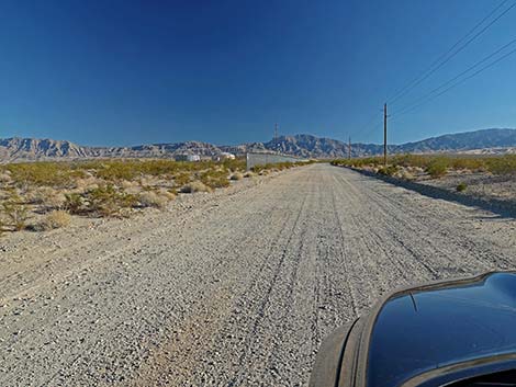 Lime Kiln Canyon Rd approaching water facility buildings (view SE) |
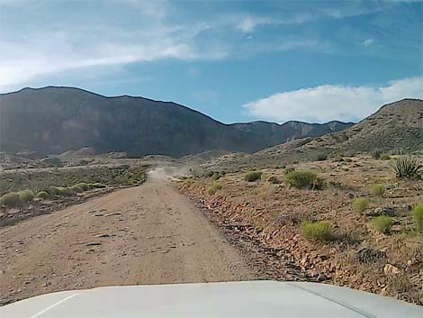
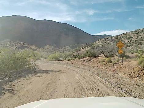
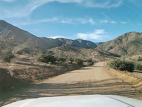
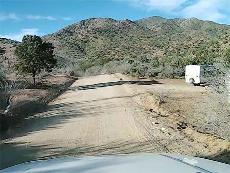
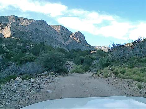
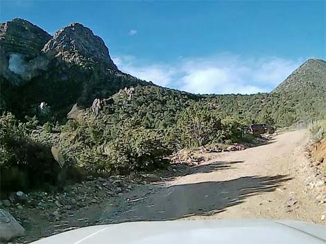
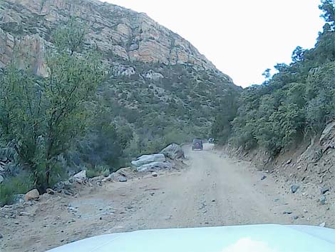
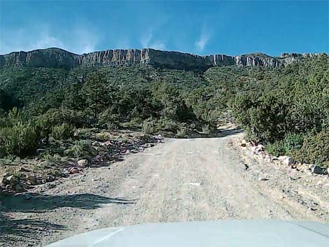
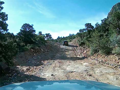
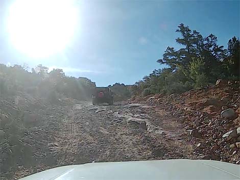
At about 6.0 miles out, Lime Kiln Canyon Road passes a working corral with wet cattle tanks on the right. In this area, watch for cows darting across the road (the other side of the road usually is the safe place), and be sure to watch for birds coming in for water. At about 7.3 miles out, Lime Kiln Canyon Road begins to wind into the mountains, and at 7.8 miles out, crosses Lime Kiln Wash for the first time. The road climbs onto the east side of the canyon, then drops back into the bottom and generally follows the bottom of the canyon the rest of the way. The road passes numerous little side roads and plenty of places to pull off and camp. At about 9.8 miles out, the road passes several campsites on the left used by rock climbers tackling the towering limestone faces to the left. Continuing, the road crosses the wash to the east side, then begins to climb into a side canyon before bending hard to the left and climbing into two sharp switchbacks. The road descends back into the canyon bottom and continues climbing to the south. |
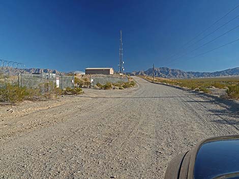 Lime Kiln Canyon Road approaching water facility buildings (view SE) |
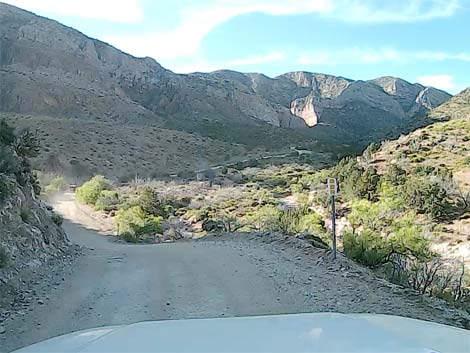
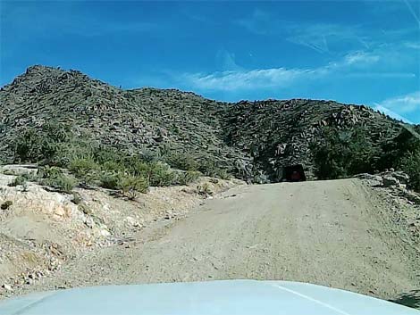
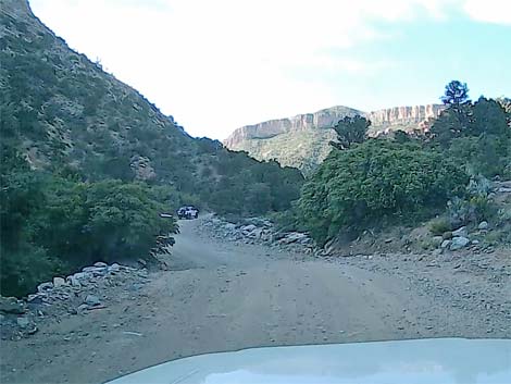
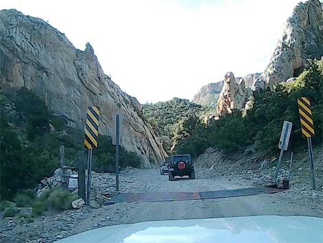
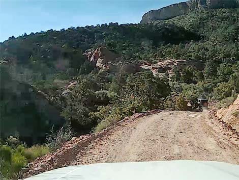
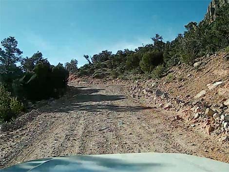
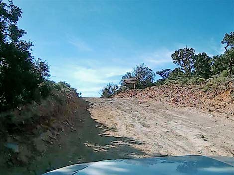
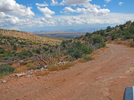
At about 11.2 miles out, the road crosses a cattle guard, then runs up into a narrow gorge where the road is pinched between towering cliffs. This is a bad spot for washouts, and just beyond, the road cuts up to the right and climbs a steep section with boulders embedded in the roadway. Climbing rather steeply across rocky terrain, the road climbs into an area of red sandstone, then winds to the left traversing steep hillsides. The red soils hint at the top of the pass, to which the road arrives at 12.0 miles out. The pass (Site 1863) is marked only with a Grand Canyon - Parashant National Monument boundary sign. The road descends south into the monument. Shortly beyond the pass, a wide spot on the left serves as a place to stop and gaze upon the scenery or to turn around and head back to Mesquite. |
 Lime Kiln Canyon Road passing water facility buildings (view SE) |
 Lime Kiln Canyon Road (view SE) |
 Lime Kiln Canyon Road approaching information sign (view SE) |
 Lime Kiln Canyon Road at information sign (view SE) |
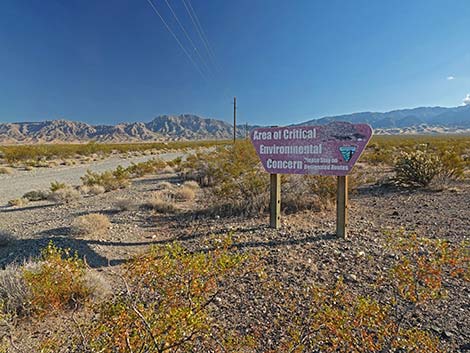
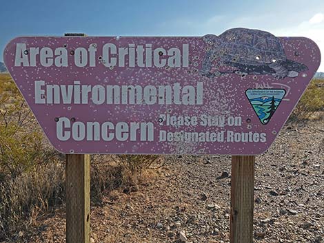 Area of Critical Environmental Concern; stay on roads (view S) |
 Lime Kiln Canyon Road (view SE) |
 Lime Kiln Canyon Road (view SE) |
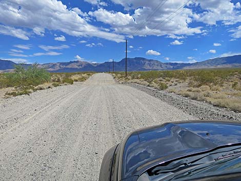 Lime Kiln Canyon Road (view SE) |
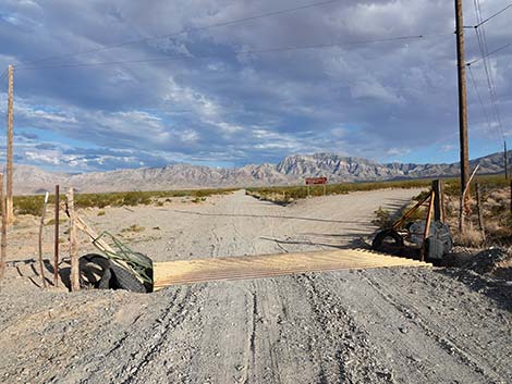 Lime Kiln Canyon Road at cattle guard and intersection (view SE) |
 Lime Kiln Canyon Road stays left at intersection (view SE) |
 Directional sign: Lime Kiln Canyon Road stays left (view SE) |
 Directional sign: Lime Kiln Canyon Road stays left (view SE) |
 More to come ... |
 Lime Kiln Canyon Road (view SE) |
 Lime Kiln Canyon Road at Arizona state line (view SE) |
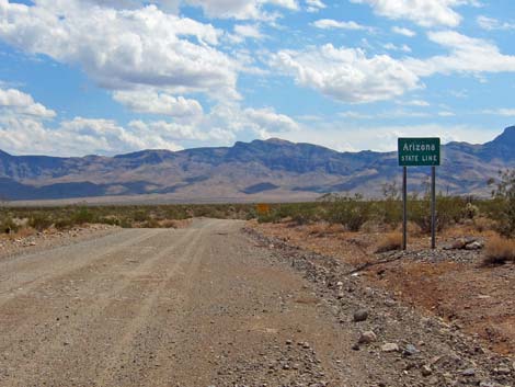 Arizona state line sign (view SE) |
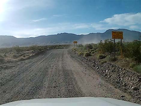 Caution signs (view SE) |
 Lime Kiln Canyon Road (view S) |
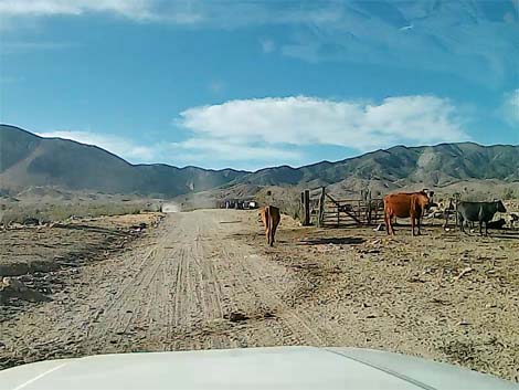 Lime Kiln Canyon Road at cattle pens (view S) |
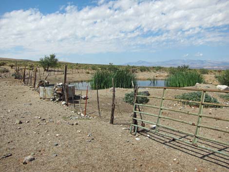 Cattle tank with water - watch for birds (view SW) |
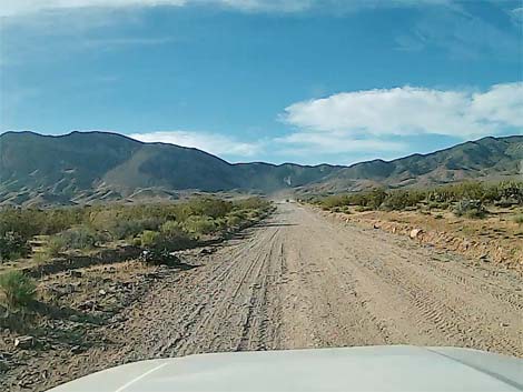
 Lime Kiln Canyon Road approaching the mountains (view E) |
 Caution sign: curves and mountain grades (view S) |
 Lime Kiln Canyon Road approaching the mountains (view S) |
 Lime Kiln Canyon Road starting into the mountains (view S) |
 Campsite (view S) |
 Lime Kiln Canyon Road winding into the mountains (view S) |
 Lime Kiln Canyon Road (view S) |
 Lime Kiln Canyon Road at rock climber campsites (view S) |
 Lime Kiln Canyon Road getting steeper (view SW) |
 Lime Kiln Canyon Road at blind curve on hill (view W) |
 Lime Kiln Canyon Road (view S) |
 Crest of the mountain range comes into view (view S) |
 Approaching cattle guard and narrow rocky gap (view S) |
 Cattle guard before narrow rocky gap (view S) |
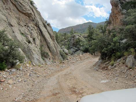 Narrow rocky gap where road can be washed out (view S) |
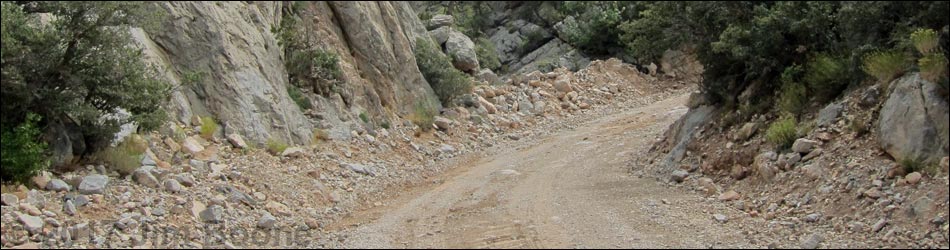
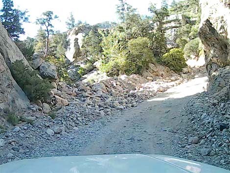 Passing narrow rocky gap, road gets steep with boulders (view S) |
 One of several large rocks in the road (hidden in shadow) |
 Steep, narrow, and rocky road (view S) |
 Steep, narrow, and rocky road (view SW) |
 Steep, but not so narrow and rocky road (view S) |
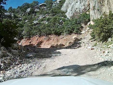
 Winding across red sandstone rocks (view S) |
 Steep road on red sandstone rocks (view SE) |
 Steep road on red sandstone rocks (view S) |
 Rocky section on red sandstone rocks (view SE) |
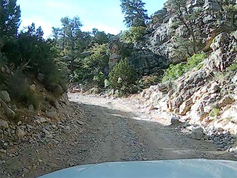
 A bit of easier road (view S) |
 Approaching Lime Kiln Pass (view S) |
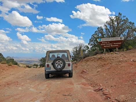 Grand Canyon-Parashant boundary sign atop Lime Kiln Pass (view S) |
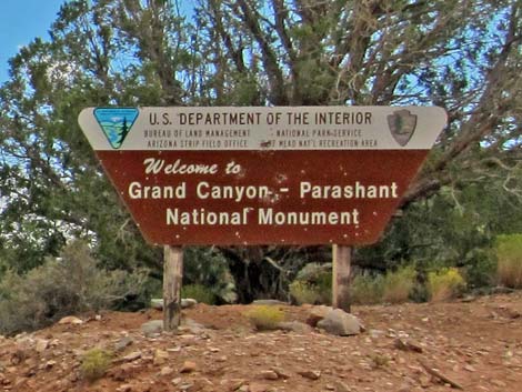 Grand Canyon-Parashant Nat. Mon. boundary sign (view S) |
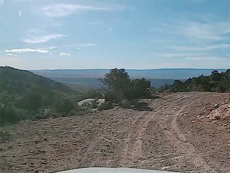 Just over the pass, a place to park or turn around (view SE) |
 The Great-Back-of-Beyond lies just over the ridge (view SE) |
Table 1. Highway Coordinates Based on GPS Data (NAD27; UTM Zone 11S). Download Highway GPS Waypoints (*.gpx) file.
| Site | Location | UTM Easting | UTM Northing | Latitude (N) | Longitude (W) | Elevation (ft) |
|---|---|---|---|---|---|---|
| 1771 | Highway 170 at Lime Kiln Canyon Road | 759391 | 4075095 | 36.78800 | 114.09319 | 1,631 |
| 1861 | White Rock Road at Lime Kiln & Scenic Roads | 760332 | 4074038 | 36.77823 | 114.08302 | 1,706 |
| 1862 | Lime Kiln Road at Cabin Canyon Road | 762378 | 4071428 | 36.75416 | 114.06101 | 2,118 |
| 1863 | Lime Kiln Road at Parashant Boundary | 767250 | 4058682 | 36.63806 | 114.01096 | 4,891 |
Happy Hiking! All distances, elevations, and other facts are approximate.
![]() ; Last updated 240326
; Last updated 240326
| Hiking Around Gold Butte | Hiking Around Las Vegas | Glossary | Copyright, Conditions, Disclaimer | Home |