Backroads Around Las Vegas, Gold Butte National Monument
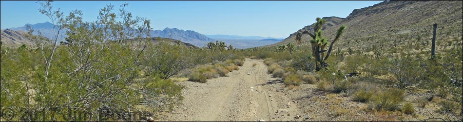
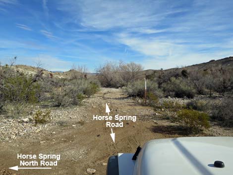
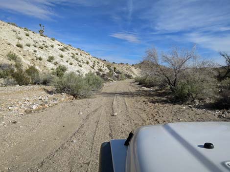
 Gold Butte Road at Horse Spring Road (view S) |
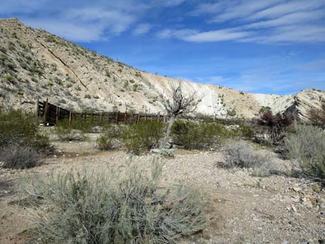
Overview Horse Spring Road is a side road off the unpaved Gold Butte Road that provides 2WD, high-clearance vehicle access to Horse Spiring, a good area for hunting Gambel's Quail and Mourning Dove, as well as to visit the historic stone corral and stone wall built by ranchers in the 1880s. There is deep sand and gravel near the spring, so without 4WD, drivers might want to walk the last 200 yards. Link to map. |
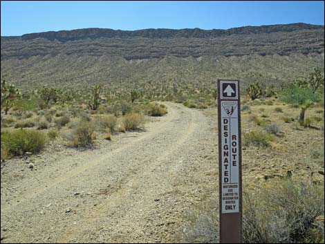 Designated road sign at start of Horse Spring Road (view E) |
Watch Out Other than the standard warnings about hiking in the desert, ... this is a fairly good 2WD road until near the spring, but without any unusual hazards. This is wild and remote country without services of any kind (no restrooms, no water, no gas, no food). Bring what you need to survive. Be prepared and be self-reliant. It is a big place, but someone will eventually find you if you stay on a main road, but be prepared to survive alone for a day or two, or even longer on side roads. Cell phones don't work here. At the historic corral and stone wall, please be careful and help protect this historic site from damage. While out, please respect the land and the other people out there, and try to Leave No Trace of your passage. Also, this is a remote area, so be sure to bring the 10 Essentials. |
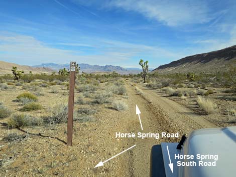
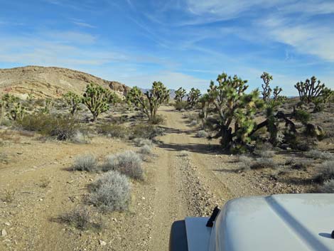
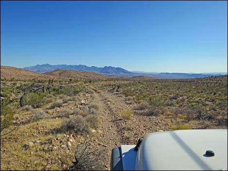
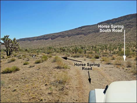 Horse Spring Road approaching Horse Spring South Road (view NE) |
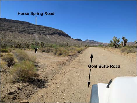
Getting to the Road Horse Spring Road is located out in Gold Butte National Monument northeast of Lake Mead, about 3 hours northeast of Las Vegas. From Las Vegas, drive out the paved Gold Butte Road to Whitney Pocket. Continue south on the unpaved Gold Butte Road for 15.4 miles to Horse Spring Road, an unmarked, minor road to the left. Note that after winding up and across a steep hillside, Gold Butte Road crosses a cattle guard. From there, it is another 1.7 miles to Horse Spring Road. |
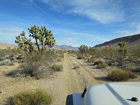
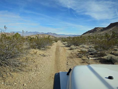
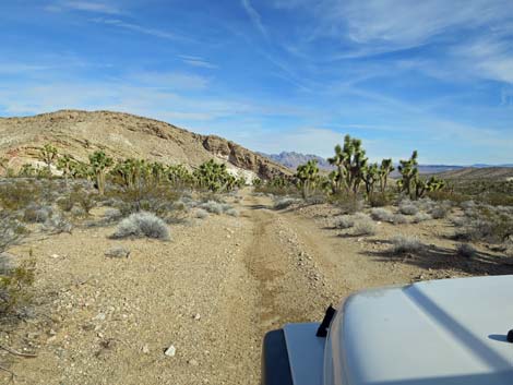
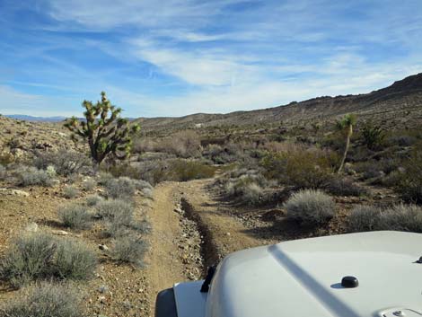
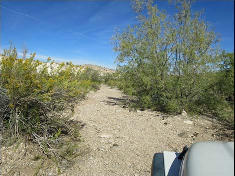
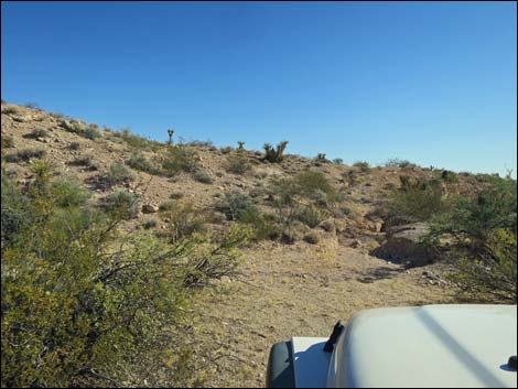
 Horse Spring Road (view NE) |
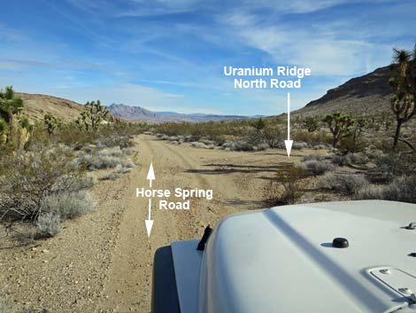
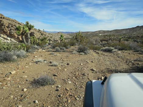
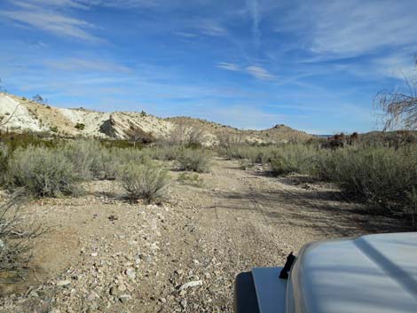
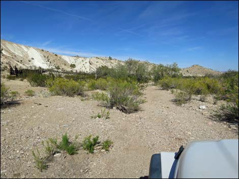
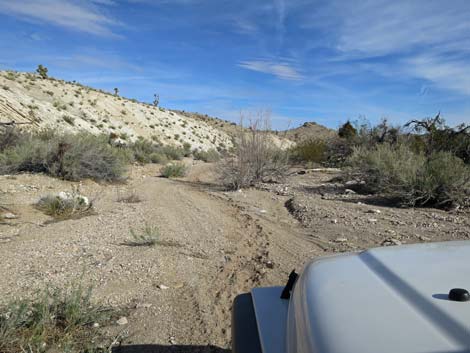
The Road From Gold Butte Road (Table 1, Site 1780) southbound, Horse Spring Road angles away to the left heading east for 100 yards, then angles northeast as it merges with Horse Spring South Road (1782). Horse Spring South Road is part of a large, triangular intersection between Gold Butte Road and Horse Spring Road. Horse Spring South Road runs south 0.2 miles to reconnect with Gold Butte Road. Horse Spring Road runs fairly straight northeast, passes a small campsite on the right side of the road, and passes an intersection (Site 1783) with Uranium Ridge Road on the right. Continuing northeast, Horse Spring Road bends a bit to the right and starts to drop towards Horse Wash. Just before the steeper section, which is a bit rough, there is a wide spot on the left where some drivers might want to park rather than descending into the gravel wash because it could be difficult to drive back up the steep hill. |
 |
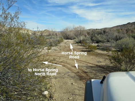
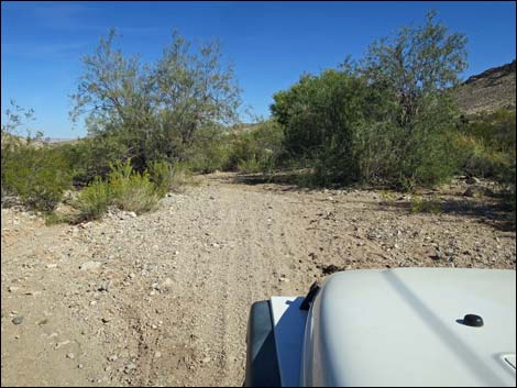
In the wash, Horse Spring Road merges with Horse Spring North Road (Site 1784) from the left. As often is the case in the desert, this is a triangular intersection. Under current conditions, drivers can continue straight and receive a bit of pin-striping or turn left and immediately turn right (taking two sides of the triangle) using a wider part of the sandy wash. In reality, however, there is no "road" here, rather there are just ways that drivers find their way down the wash avoiding major shrubs and trees. About 70 yards after dropping into the sandy wash, the road passes Horse Spring, on the right. The spring, proper, is about 40 yards off the road in a thicket of trees and shrubs. |
 |
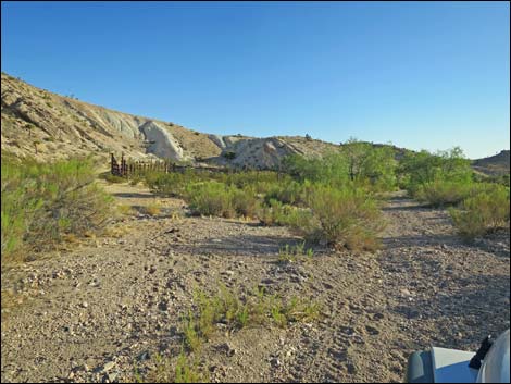
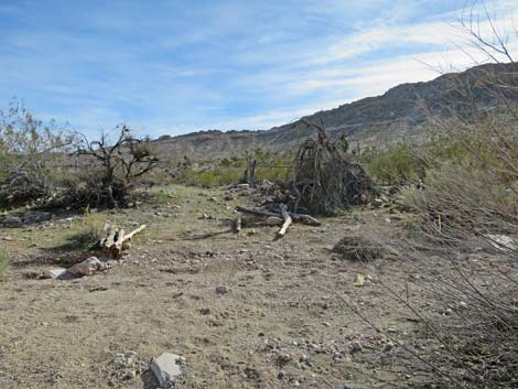
About 70 yards past Horse Spring, the road passes Horse Spring Corral, the historic coral built by ranchers in the 1880s, on the left. The circular watering trough is a few yards father up the road off to the right, which is also the way to walk to the historic stone wall. Please be careful in this area and help preserve this historic site. Beyond the historic area, Horse Spring Road continues northeast following the wash, then before long (0.2 miles) turns left out of the wash. The road runs across rolling terrain into an area with a few nondescript prospects. A short spur road forks right and runs 40 yards to nowhere. Another spur road forks left to a small prospect atop a hill with a nice view but little else. The main road continues, and at about 1.2 miles past the corral, ends at a bad washout where the road tries to cross a deep ravine. |
 |
 |
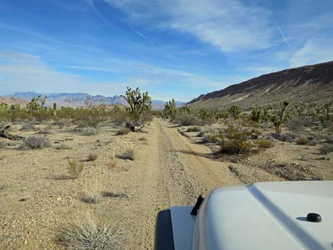
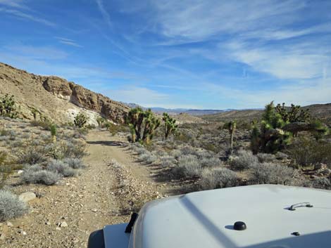
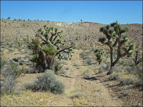
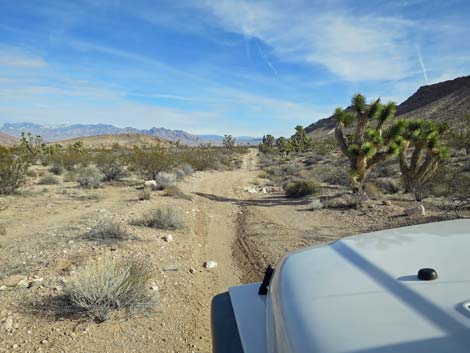 Horse Spring Road (view NE) |
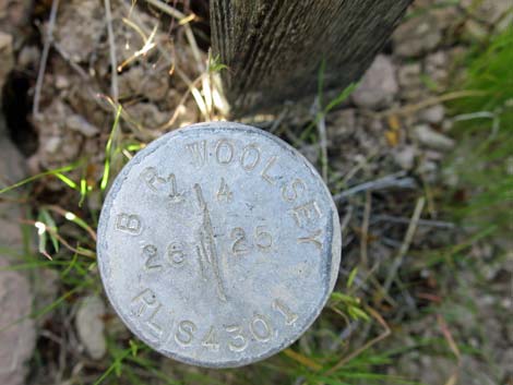 Historic mining claim marker |
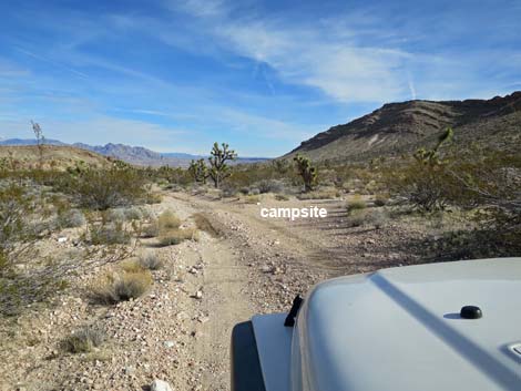 Horse Spring Road at small campsite (view NE) |
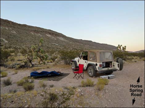 Horse Spring Road at campsite (view S at dawn) |
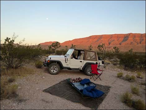 Horse Spring Road at campsite (view SW at dawn) |
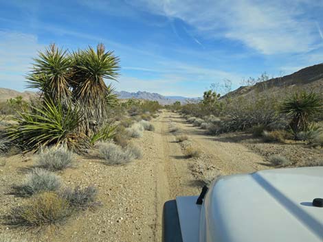
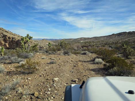
 Continuing on Horse Spring Road (view NE) |
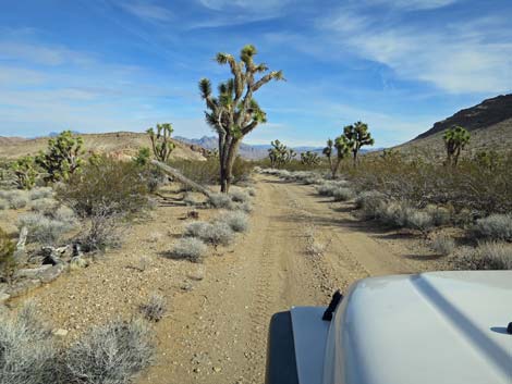 Horse Spring Road (view NE) |
 Horse Spring Road at Uranium Ridge North Road (view NE) |
 Uranium Ridge North Road (view E from Horse Spring Road) |
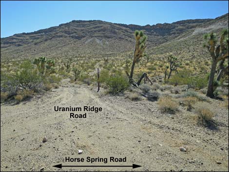
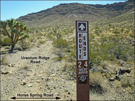 Designated road sign at start of Uranium Ridge Road (view E) |
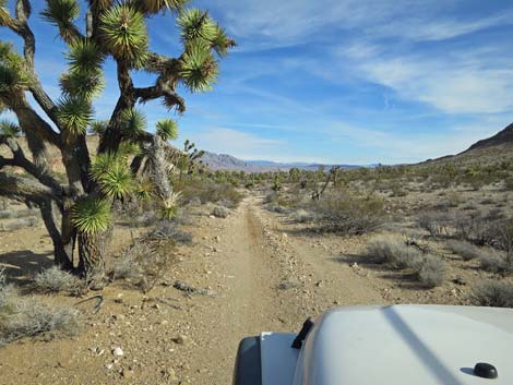 Continuing on Horse Spring Road (view NE) |
 Horse Spring Road (view NE) |
 |
 |
 Approaching last place to park before descending into wash (view NE) |
 Last place to park before descending into Horse Wash (view NE) |
 Washed out road remains passable (view NE) |
 Horse Spring Road at Horse Spring North Road (view NE) |
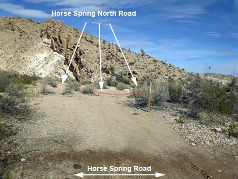 Triangle intersection to Horse Spring North Road (view NW) |
 Continuing past triangle intersection (view NW) |
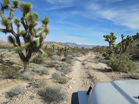
 Horse Spring Road in Horse Wash during summer (view NE) |
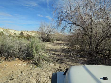 Horse Spring Road in Horse Wash during winter (view NE) |
 Horse Spring Road approaching Horse Spring (view NE) |
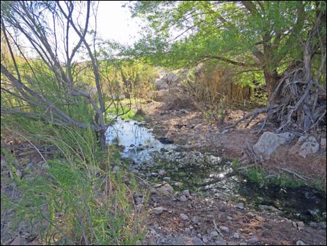 Horse Spring during summer (view NE) |
 Horse Spring Road in Horse Wash during winter (view NE) |
 Horse Spring Road in Horse Wash (view NE) |
 Horse Spring Road approaching Horse Spring Corral (view NE) |
 Horse Spring Corral (view N) |
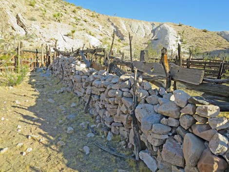 Historic stone corral dating from the 1880s (view NW) |
 Continuing past Horse Spring Corral (view NE) |
 Old road to circular watering trough and long stone wall (view E) |
 Continuing past the Horse Spring Corral area (view NE) |
 Far beyond Horse Spring (view NE) |
 Washout that will take some effort to repair (view NE) |
 One of the side roads off Horse Spring Road (view N) |
 More to come ... |
Table 1. Highway Coordinates Based on GPS Data (NAD27; UTM Zone 11S). Download Highway GPS Waypoints (*.gpx) file.
| Wpt. | Location | Latitude (N) | Longitude (W) | Elevation (ft) | Point-to-Point Distance (mi) | Cumulative Distance (mi) |
|---|---|---|---|---|---|---|
| 1780 | Gold Butte Road at Horse Spring Road North | 36.32795 | 114.14528 | 3,036 | 0.00 | 0.00 |
| 1782 | Horse Spring Roads Fork | 36.32763 | 114.14441 | 3,040 | 0.06 | 0.06 |
| 1783 | Horse Spring Road at Uranium Ridge Road | 36.34373 | 114.13310 | 2,989 | 1.31 | 1.37 |
| 1786 | Horse Spring Road at Horse Spring North Road | 36.34875 | 114.12963 | 2,914 | 0.41 | 1.78 |
| 1784 | Horse Spring Corral | 36.34950 | 114.12901 | 2,902 | 0.08 | 1.86 |
| . | . | . | . | . | . | . |
| 1781 | Gold Butte Road at Horse Spring Road South | 36.32584 | 114.14571 | 3,218 | . | . |
Happy Hiking! All distances, elevations, and other facts are approximate.
![]() ; Last updated 240326
; Last updated 240326
| Backroads Around Las Vegas | Hiking Around Las Vegas | Glossary | Copyright, Conditions, Disclaimer | Home |