Hiking Around Las Vegas, Gold Butte National Monument
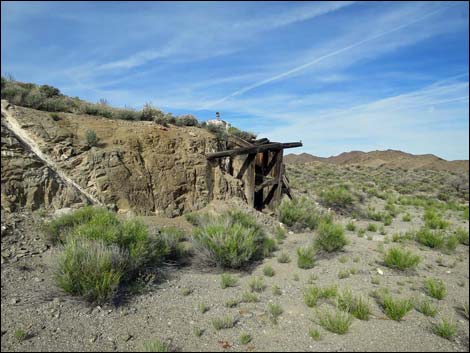
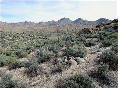
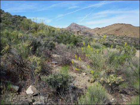
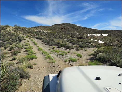 Windmill Mine Road forks; mine site to the right (view SE) |
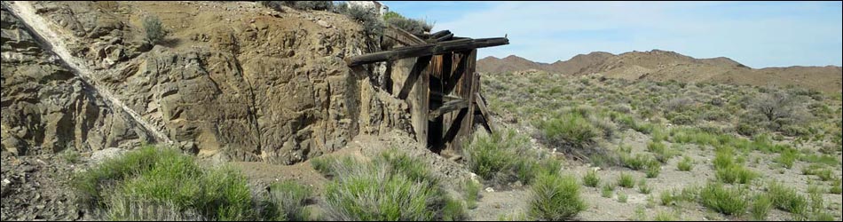
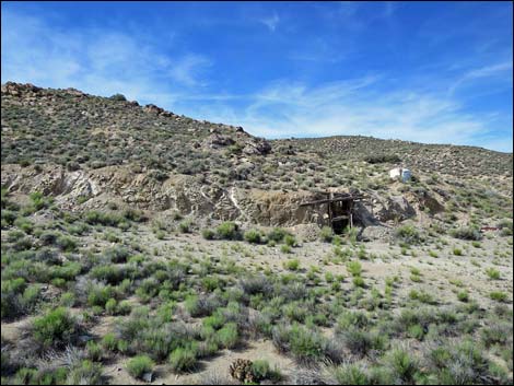
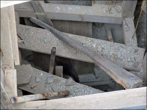
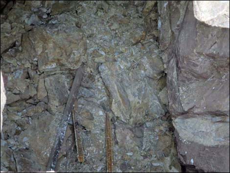
Overview Windmill Mine is located out at the far southwest end of Gold Butte National Monument near the edge of the Jumbo Springs Wilderness Area. A bit of old gear, a collapsed adit, and one shaft with headgear remains. This is not a destination, but for visitors this far south in Gold Butte National Monument, it is an interesting site to poke around. The Windmill Mine was a gold and silver mine. Windmill Mine, known in 1913 as the Finance Group of Claims, exposes veinlets of white quartz striking N35°E. Hill (1916) noted pyrite, chalcopyrite, galena, and sphalerite. There has been no recorded production. Dexter and others (1983) reported gold values of 0.96, 3.01, and 3.82 ppm for samples they took from this mine (Ludington et. al., 2006). Link to map. |
 |
Watch Out Other than the standard warnings about driving in the desert, ... this is a pretty safe area, but stay out of holes in the ground, as they are never safe to enter. This is wild and remote country without services of any kind (no restrooms, no water, no gas, no food). Bring what you need to survive. Be prepared and be self-reliant. It is a big place, but someone will eventually find you if you stay on a main road, but be prepared to survive alone for a day or two, or even longer on side roads. Consider signaling the tourist helicopters that traverse the area coming and going from the Grand Canyon. While out, please respect the land and the other people out there, and try to Leave No Trace of your passage. Also, this is a remote area, so be sure to bring the 10 Essentials. |
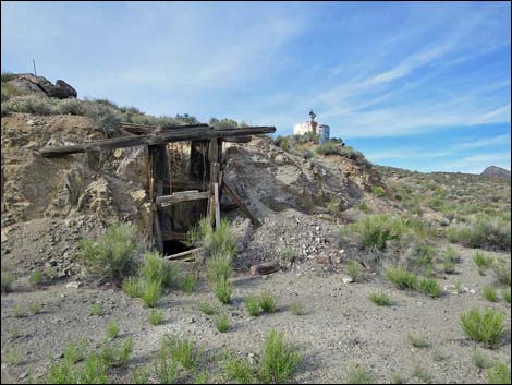
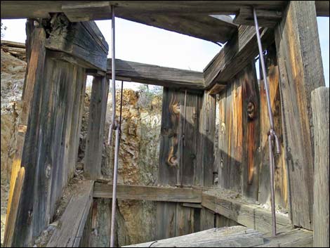
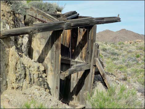
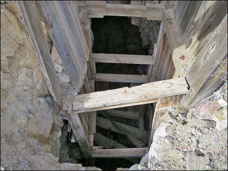
 Open shaft with headgear |
Getting to Windmill Mine Windmill Mine is located out in Gold Butte National Monument at the northeast end of Lake Mead, about 5 hours northeast of Las Vegas in a wild, remote, and scenic area. From town, drive out the paved Gold Butte Road for 21 miles to Whitney Pocket. Continue south on the unpaved Gold Butte Road for 20 miles to Gold Butte Townsite. From the townsite, Scanlon Road is the main road running southwest. Drive south on Scanlon Road 13.8 miles to Windmill Mine Road. When Scanlon Road turns right down a sandy wash, continue straight south on Windmill Mine Road. Driving south on Windmill Mine Road, the road forks about 0.4 miles out. Turn right and drop down into the main mine area. Windmill Mine Road ends shorty beyond the fork at a turn-around that serves as a nice, quiet campsite. |
 |
 |
 |
 |
 |
 |
 |
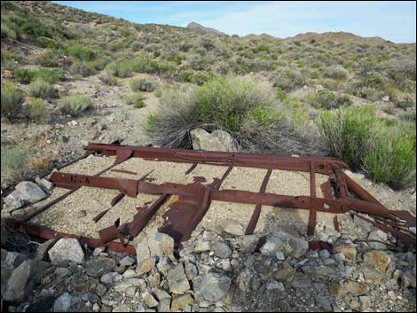 Old truck bed or trailer bed |
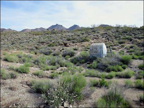
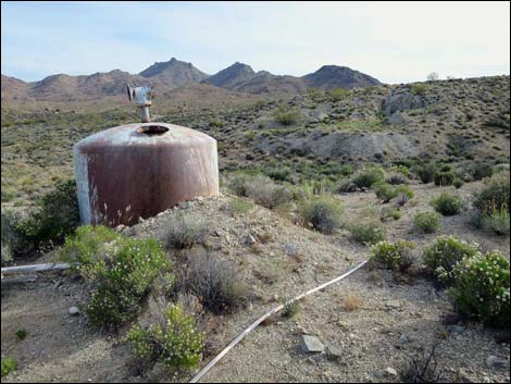 Water tank on hillside with PVC pipes |
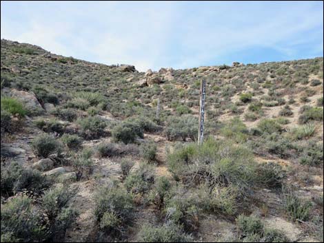 Two Mine claim markers (view SW) |
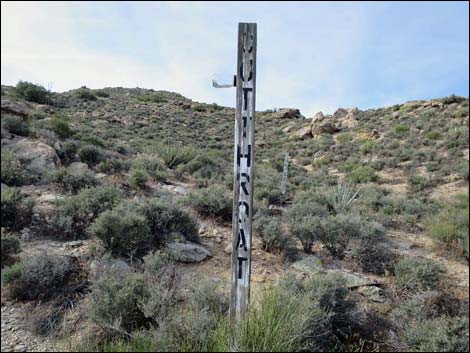 Mine claim marker: Cutthroat (view SW) |
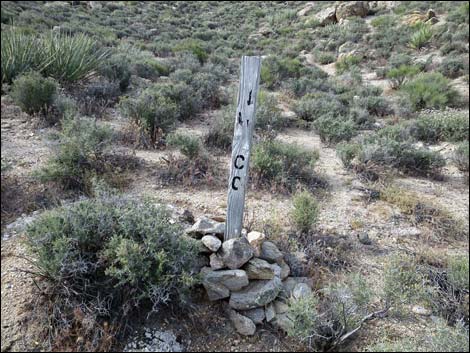 Mine claim markers; text is unreadable (view SW) |
 Same two Mine claim markers (view NE) |
 Near the two claim markers (view NE) |
 Water tank in wash |
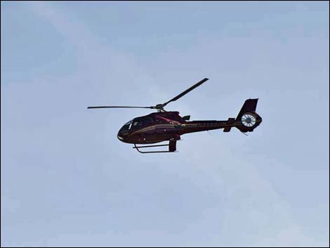 Low-flying tourist helicopter |
 Prince's Plume blooming on the hillside |
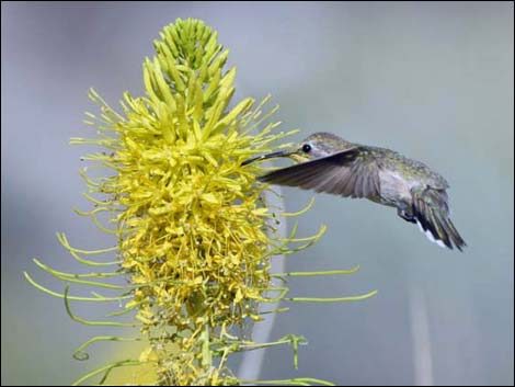 Hummingbird feeding on Prince's Plume |
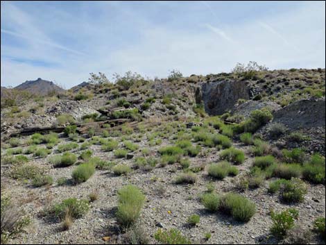 Collapsed adit in NW part of the mine area |
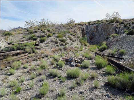 Collapsed adit in NW part of the mine area |
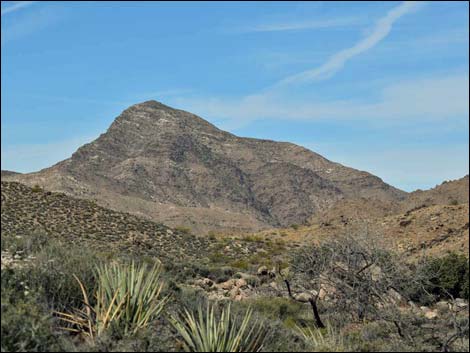 Bonelli Peak (view W) |
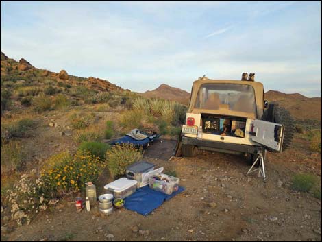 Campsite at the end of Windmill Mine Road (view W) |
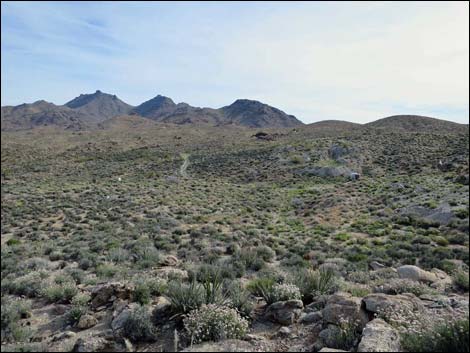
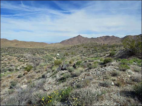 Windmill Mine area (view NW from near camp area) |
 more to come ... |
References
Hill, J.M., 1916, Notes on some mining districts in eastern Nevada: U.S. Geological Survey Bull. 648, p. 42–53.
Dexter, J.J., Goodknight, C.S., Dayvault, R.D., and Dickson, R.E., 1983, Mineral evaluation of part of the Gold Butte district, Clark County, Nevada: Bendix Field Engineering Corporation, Report GJBX-18(83), 31 p.
Ludington, S., et. al. 2006. Chapter C. Mineral Resource Potential of the Gold Butte A, Gold Butte B, Virgin Mountain (Gold Butte C), Whitney Pocket, Red Rock Spring, Devils Throat, and Gold Butte Townsite Areas of Critical Environmental Concern, Clark County, Nevada. U.S. Geological Survey Scientific Investigations Report 2006-5197
Table 1. Highway Coordinates Based on GPS Data (NAD27; UTM Zone 11S). Download Highway GPS Waypoints (*.gpx) file.
| Site | Location | UTM Easting | UTM Northing | Latitude (N) | Longitude (W) | Elevation (ft) | Verified |
|---|---|---|---|---|---|---|---|
| 1734 | Scanlon Rd at Windmill Mine Rd | 752410 | 4005985 | 36.16759 | 114.19388 | 3,858 | Yes |
| 1735 | Windmill Mine Rd at Windmill Mine | 752600 | 4005403 | 36.16230 | 114.19195 | 3,921 | Yes |
| 1736 | Windmill Mine | 752594 | 4005282 | 36.16121 | 114.19206 | 3,963 | Yes |
| 1737 | Windmill Mine Rd End | 752697 | 4005253 | 36.16092 | 114.19092 | 3,969 | Yes |
Happy Hiking! All distances, elevations, and other facts are approximate.
![]() ; Last updated 240325
; Last updated 240325
| Backroads Around Las Vegas | Hiking Around Las Vegas | Glossary | Copyright, Conditions, Disclaimer | Home |