Hiking Around Las Vegas, Gold Butte National Monument
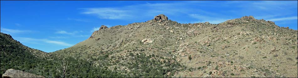
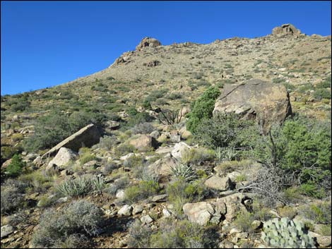
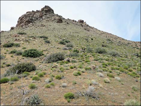
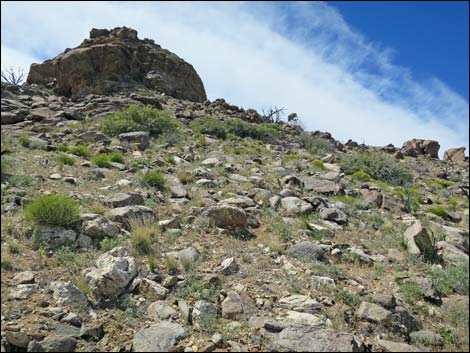
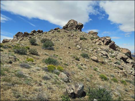
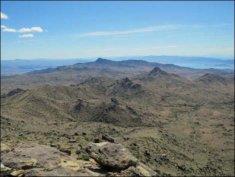
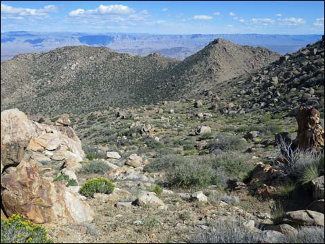
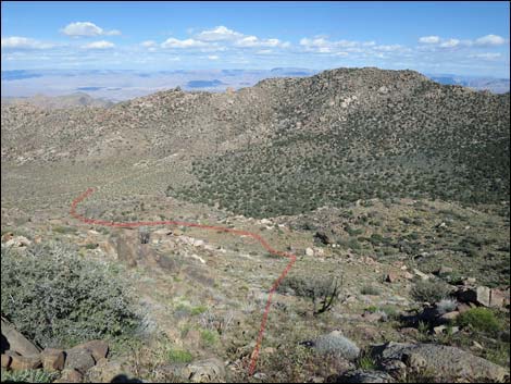
 Trailhead (view SW towards saddle and Jumbo Peak) |
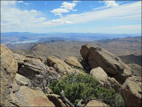
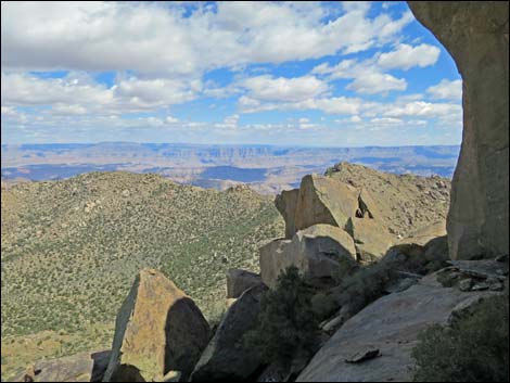
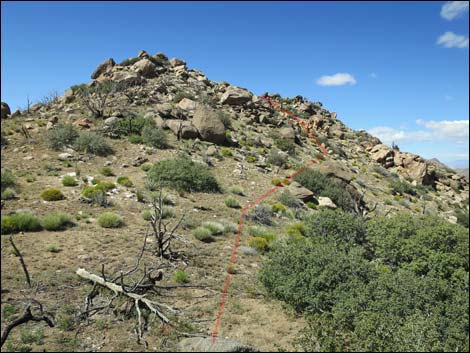
Overview Jumbo Ridge Loop is a 2-1/3-mile route that climbs onto the South Ridge of Jumbo Peak, and then follows the ridge to the summit (5,761 ft). Unfortunately, the summit is a tower of 5th-Class granite that is inaccessible to most hikers, so the loop bypasses the summit by tunneling through the summit blocks and continuing north to the Jumbo Ridge Highpoint (5,692 ft). From there, the route cuts down the east face of Jumbo Ridge and returns to the trailhead. The ridge and highpoint provide all of the hiking excitement (but not the climbing excitement) that summit climbers get, and the views are every bit as grand and expansive as those from the summit. Views are spectacular and extend across Cedar Basin to the north, southeast into the Grand Canyon, and southwest to peaks in southern California. Make no mistake, however, despite only being 2-1/3 miles, this route will kick your butt. Link to map. |
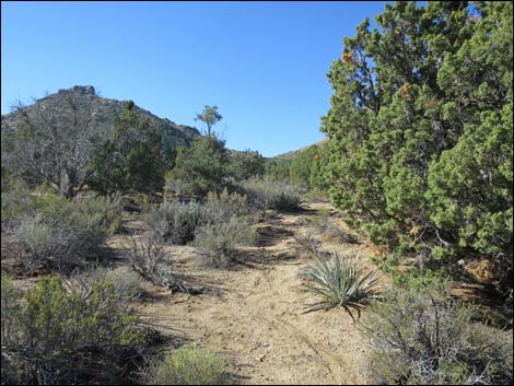
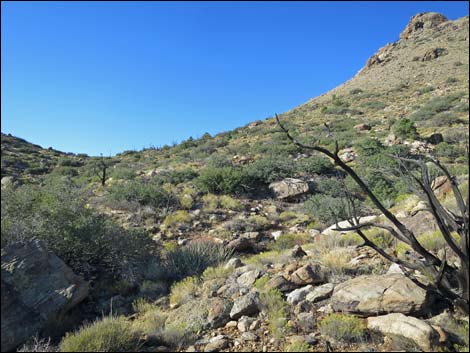
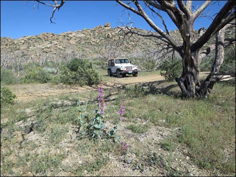
 Departing the trailhead (view SW) |
Watch Out Other than the standard warnings about hiking in the desert, ... this is a wild and remote area without services of any kind (no restrooms, no water, no gas, no food). Bring what you need to survive. Be prepared and be self-reliant. It is a big place, and someone will eventually find you if you stay on a main road, but be prepared to survive alone for a day or two, or even longer on side roads. Consider signaling the tourist helicopters that traverse the area coming and going from the Grand Canyon. This hike is relatively safe, but be extra careful on rocky outcrops where hikers could fall, as help is a long way off. While out, please respect the land and the other people out there, and try to Leave No Trace of your passage. Also, this is a remote area, so be sure to bring the 10 Essentials. |
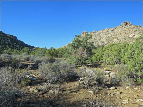
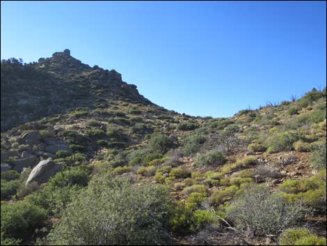
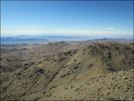
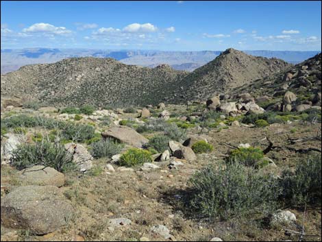
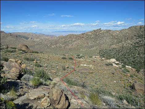
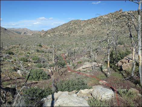
 Bottom of the valley (view SW towards saddle and So. Ridge) |
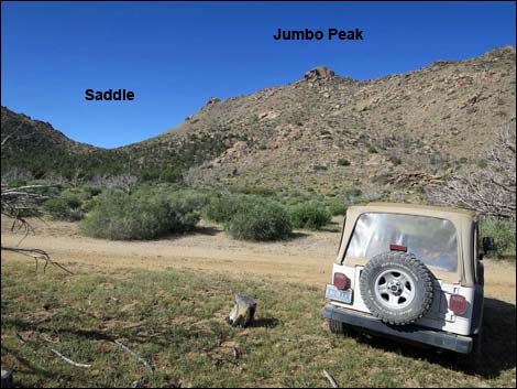
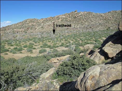
Getting to the Trailhead Jumbo Ridge Loop is located out in Gold Butte National Monument at the northeast end of Lake Mead, about 3.5 hours northeast of Las Vegas in a wild, remote, and scenic area. From town, drive out to Gold Butte National Monument. From Whitney Pocket, continue south on the unpaved Gold Butte Road to Gold Butte Townsite. From there, Scanlon Road is the main road running southwest. Drive south on Scanlon Road for 1.9 miles to Quail Springs Wash (watch for a flash flood warning sign). Turn left and drive up Cedar Basin Road, which follows Quail Springs Wash into Cedar Basin. At 3.3 miles out, Cedar Basin Road forks at a white 55-gallon drum in a forested area, stay right on Cedar Basin Road. Passing historic corrals, Cedar Basin Road continues south into a broad canyon generally following a wash. When the road turns left out of the wash and starts up across the gentle hillside, watch for an open area among burned trees that serves as the trailhead. Don't get too far from the wash. Park here; this is the trailhead. |
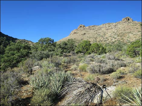
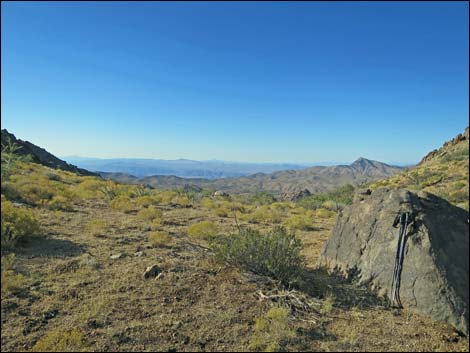
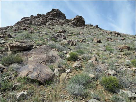
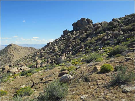
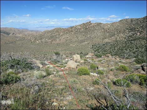
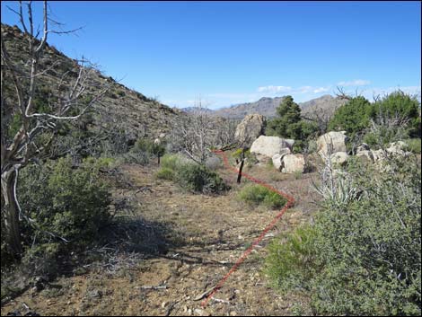
 Route angles right towards saddle (view SW) |
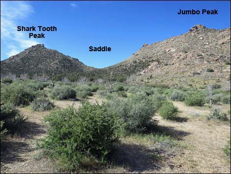
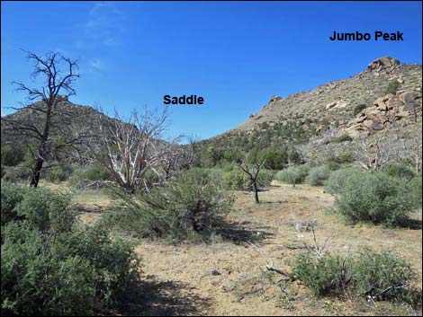
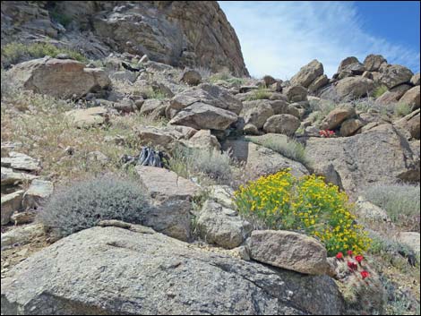
The Hike From the trailhead (Table 1, Waypoint 01), the route runs southwest and down into the wash in the bottom of the valley (Wpt. 02). Turning upstream, the route stays more to the left than seems necessary, as the route runs a bit left of due south aiming for a saddle on the east (left) side of Shark Tooth Peak. At about 0.2 miles out (Wpt. 03), the route bends right to follow a shallow canyon towards the saddle separating Shark Tooth Peak and Jumbo Peak. While hikers could just walk straight from the trailhead towards the saddle, the lay of the land makes this slight detour southward the easier route. Climbing towards the saddle, the canyon forks (Wpt. 04). It is a bit easier to stay right and proceed to the saddle (Wpt. 05). From the saddle, hikers get great views southwest towards Lake Mead and northeast across Cedar Basin. For hikers wanting to bag two peaks, consider turning south to climb Shark Tooth Peak, then return to the saddle. |
 |
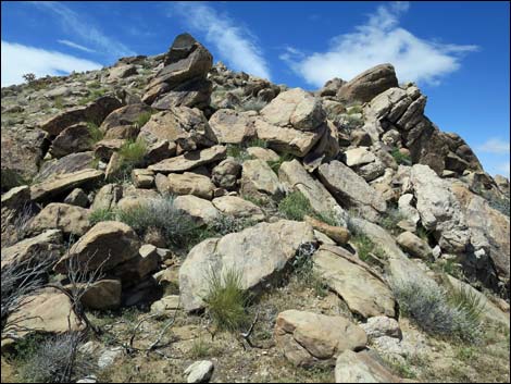
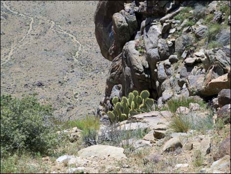
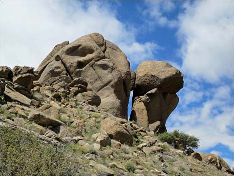
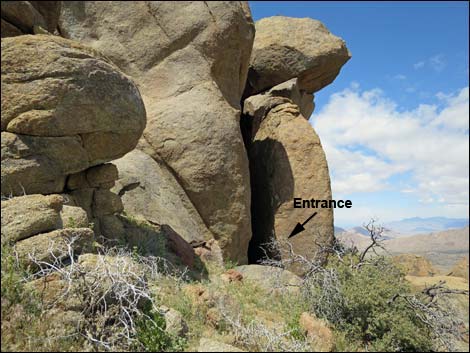
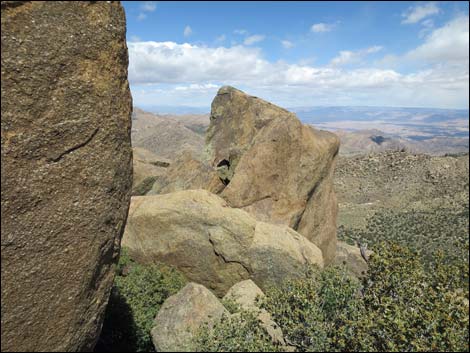
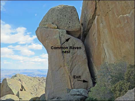
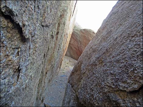
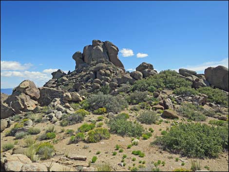
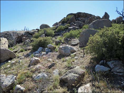
From the saddle (Wpt. 05), the route runs up the South Ridge of Jumbo Peak, passing north (right) to a rocky buttress. The hillside is steep, but non-technical, and after passing two buttresses, hikers arrive on the summit ridge (Wpt. 05) with great views in all directions. Continuing northwest along the ridge, the imposing granite tower of the summit block becomes all too clear. Upon close approach, however, a deep cleft appears in the southeast corner of the summit tower. Dropping into the cleft, hikers can squeeze through and eventually come out on the northeast corner of the summit tower. A tree impedes progress, and Common Ravens might object during nesting season, but the route squeezes through. On the north side of the summit tower, hikers can pick their way northwards winding among boulders and cliffs and staying on the west side of the ridge, a bit below the crest. Beyond the boulders that obstruct progress on the ridgeline, the route returns to the crest of the ridge. Crossing a low point on the ridge, the route contours onto the east side of the ridge (Wpt. 08) to avoid another barricade of boulders, then climbs onto the top of the next knob. |
 |
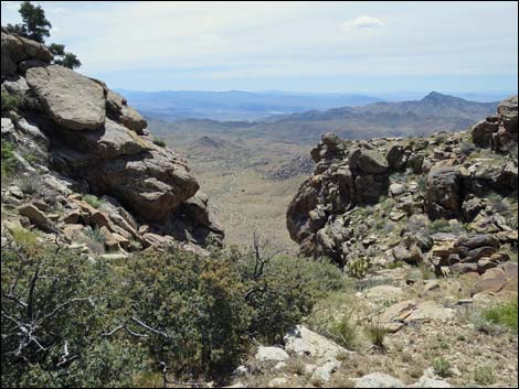
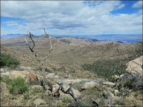
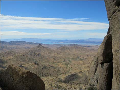
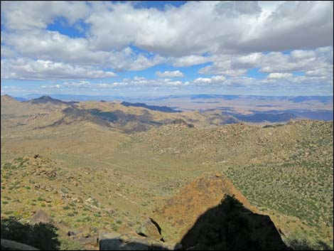
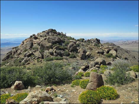
Ahead, a double-topped false summit looms in the distance. The route climbs over the false summit, passing over a notch on the top. From the false summit, the true summit is a short distance ahead. The route continues northwest and drops into a saddle before climbing the last rocky slopes to the Highpoint. Wrapping partway around the east side of the summit knob, boulders, shrubs, and a short 3rd-class headwall give way to the Highpoint (Wpt. 09). Hikers who make it this far won't have any trouble on the rocks here. Views from the Highpoint are spectacular. Hikers can look northeast into the northwest corner of Arizona and maybe Utah, southeast into the Grand Canyon, southwest into high peaks in California, west into Las Vegas, and northwest to the Spring and Sheep ranges. From the Highpoint, the route initially returns towards the trailhead by following footprints down off the summit knob and crossing back over the false summit to where hikers contoured off the east side of the summit ridge (Wpt. 08). |
 |
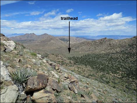
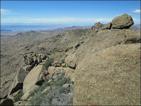
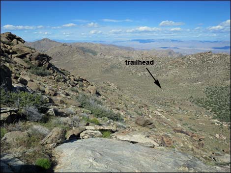
Rather than contouring back onto the crest of the ridge, the route descends steeply off the east side of the mountain. The route runs down and a bit right following an unobstructed corridor between bushes and boulders into a broad, bowl-like area. At the far side of the bowl, adjacent to a large boulder (Wpt. 10), the route turns 90-degrees left to angle down and across the steep slope heading northeast towards a flattish area below (Wpt. 11), which is the top of a small side ridge. The trailhead can be seen from this point, and the route more-or-less heads directly towards the trailhead. After dropping to the top of a small side ridge, the route angles down and left into a gully and passes through an area of skeleton trees that did not survive the last fire. The route eventually returns to the wash in the bottom of the valley (Wpt. 12), and from there, it is a short walk east to the trailhead (Wpt. 01). |
 |
 |
 |
 |
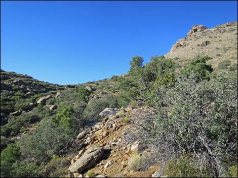
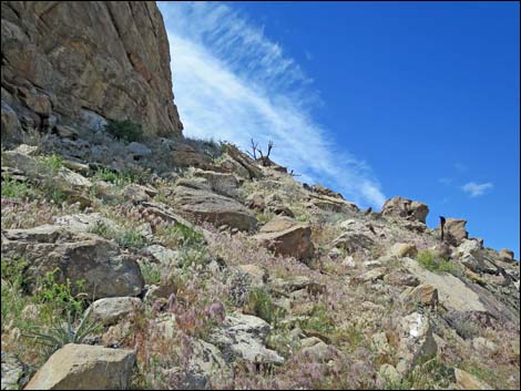
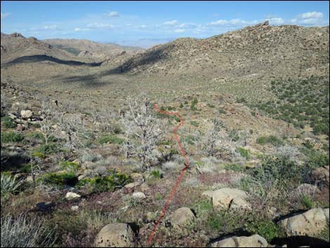
 Approaching the saddle (view SW) |
 Saddle (view SW across Lake Mead) |
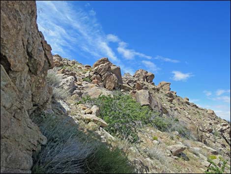
 South Ridge (view NW from saddle) |
 South Ridge (view NW) |
 South Ridge (view NE towards trailhead) |
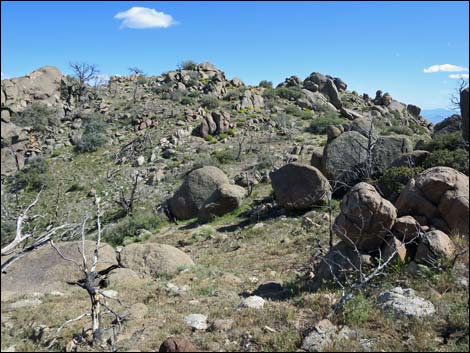
 Approaching the first rocky buttress (view NW) |
 |
 |
 |
 |
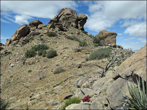
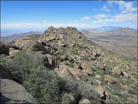
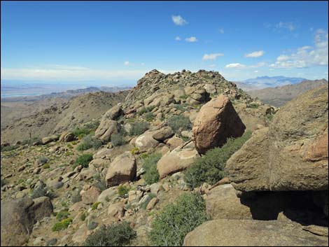
 Crest of South Ridge (view NW) |
 Crest of South Ridge (view SW towards Lake Mead) |
 Crest of South Ridge (view SW to desert below) |
 Crest of South Ridge (view NE into northern Arizona) |
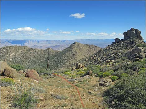
 Crest of South Ridge (view NW towards summit tower) |
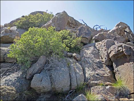
 Crest of South Ridge (view NW; Banana Yucca in bloom) |
 Crest of South Ridge (view NW towards summit tower) |
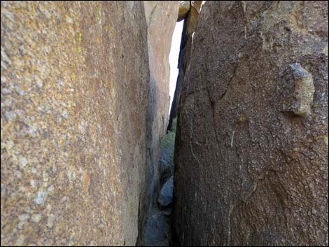
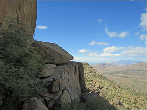
 Crest of South Ridge (view NW towards crevice through tower) |
 Crest of South Ridge (view NW to crevice through tower) |
 Below summit tower (view E into Arizona) |
 Below summit tower (view SE into Arizona) |
 Below summit tower (view SW across Lake Mead to Las Vegas) |
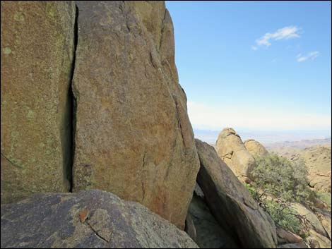
 Inside summit tower (view NW into crevice) |
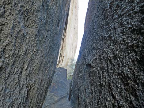 Inside summit tower (view NW inside crevice) |
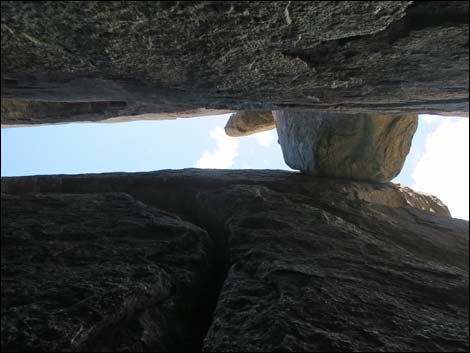 Inside summit tower (view up inside crevice) |
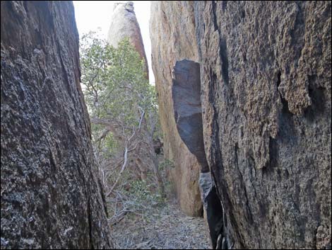 Inside summit tower; looking back (view SE inside crevice) |
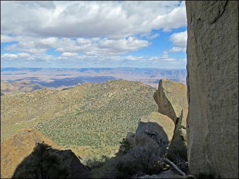
 East Face Overlook (view N) |
 East Face Overlook (view NW) |
 East Face Overlook (view NE) |
 East Face Overlook (view E) |
 East Face Overlook (view SE into Grand Canyon) |
 East Face Overlook; exit from crevice (view S) |
 Inside summit tower; north part of crevice (view NW) |
 North Ridge (view NW from base of summit tower) |
 North Ridge (view NW) |
 North Ridge (view NW) |
 North Ridge; looking back at summit tower (view SE) |
 North Ridge (view NW) |
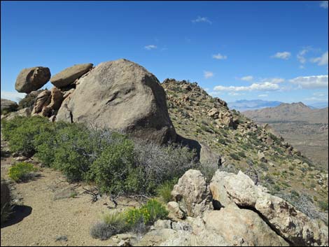
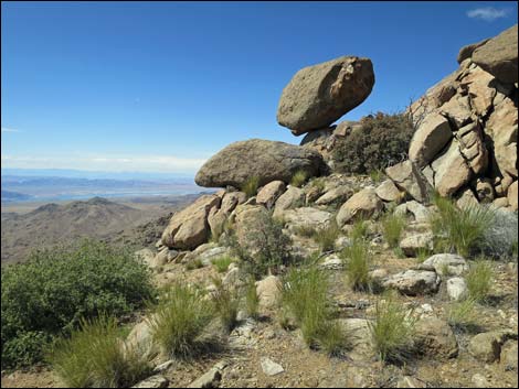 Balance rock (view NW) |
 North Ridge; route bypasses false summit (view NW) |
 North Ridge; false summit (view NW towards true summit) |
 North Ridge approaching true summit (view W) |
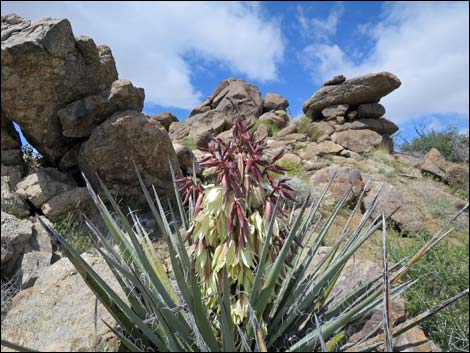
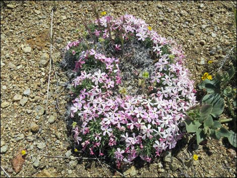 Don't forget close-up scenery; Mountain Phlox |
 Approaching true summit (view W) |
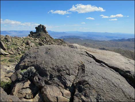
Summit Views (Jumbo Ridge Highpoint)
 Arriving on true summit (view S towards Jumbo Peak) |
 Summit (view N towards Virgin and Mormon Mountains) |
 Summit (view SW towards Bonelli Peak) |
 Summit (view NW towards Overton) |
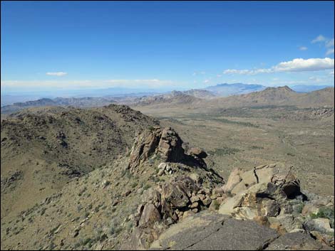
Descent from Jumbo Ridge Highpoint
 Descending off summit towards false summit (view SE) |
 Descending off false summit (view SE) |
 Descending towards flattish, bowl-like area (view SE) |
 flattish, bowl-like area (view SE) |
 Edge of bowl-like area (view S towards summit tower) |
 Descending steep hillside below the bowl (view NE towards trailhead) |
 Descending towards next flattish area (view NE) |
 Approaching next flattish area (view NE) |
 flattish area (view NE) |
 Descending towards top of side ridge (view NE) |
 Top of side ridge (view NE) |
 Descending through skeleton forest (view NE) |
 Descending towards wash in bottom of canyon (view NE) |
 Returning to the trailhead (view E) |
Table 1. Hiking Coordinates and Distances based on GPS Data (NAD27; UTM Zone 11S). Download hiking GPS waypoints (gpx) file.
| Wpt. | Location | UTM Easting | UTM Northing | Elevation (ft) | Point-to-Point Distance (mi) | Cumulative Distance (mi) | Verified |
|---|---|---|---|---|---|---|---|
| 01 | Jumbo Peak Trailhead | 754281 | 4010898 | 4,685 | 0.00 | 0.00 | Yes |
| 02 | Wash | 754217 | 4010832 | 4,692 | 0.06 | 0.06 | GPS |
| 03 | Depart Wash towards Saddle | 754296 | 4010613 | 4,738 | 0.15 | 0.21 | GPS |
| 04 | Wash Forks | 754077 | 4010270 | 4,928 | 0.28 | 0.49 | GPS |
| 05 | Saddle | 753946 | 4010086 | 5,056 | 0.17 | 0.66 | GPS |
| 06 | Summit Ridge | 753597 | 4010207 | 5,560 | 0.27 | 0.93 | GPS |
| 07 | Summit | 753531 | 4010334 | 5,663 | 0.10 | 1.03 | GPS |
| 08 | Side of Ridge | 753443 | 4010681 | 5,561 | 0.25 | 1.28 | GPS |
| 09 | Jumbo Ridge Highpoint | 753345 | 4010772 | 5,679 | 0.14 | 1.42 | GPS |
| 08 | Side of Ridge | 753443 | 4010681 | 5,561 | 0.13 | 1.55 | GPS |
| 10 | Route Bends | 753618 | 4010549 | 5,370 | 0.16 | 1.71 | GPS |
| 11 | Flat Area Atop Ridge | 754026 | 4010739 | 4,834 | 0.39 | 2.10 | GPS |
| 12 | Wash Crossing | 754197 | 4010889 | 4,678 | 0.18 | 2.28 | GPS |
| 01 | Jumbo Peak Trailhead | 754281 | 4010898 | 4,685 | 0.05 | 2.33 | Yes |
Happy Hiking! All distances, elevations, and other facts are approximate.
![]() ; Last updated 240325
; Last updated 240325
| Hiking Around Las Vegas | Gold Butte | Glossary | Copyright, Conditions, Disclaimer | Home |