Hiking Around Las Vegas, Gold Butte National Monument
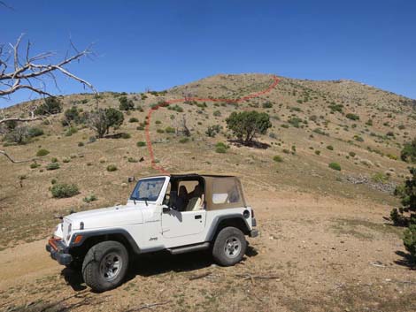 Great Eastern Peak trailhead parking |
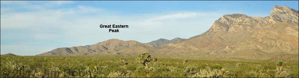
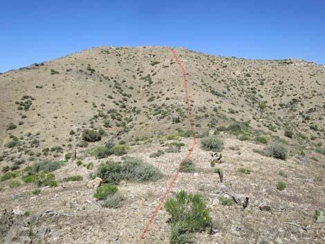
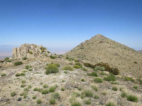
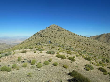
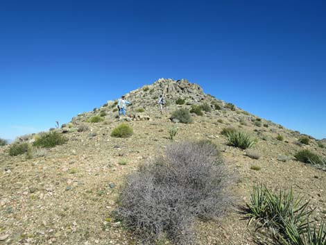
Overview Great Eastern Peak (5,282 ft) is a nice peak that stands on the north side of "big" Virgin Peak. The hiking is fairly easy and straight forward given that fire cleared the vegetation, and it is only 1.2 miles round-trip to great views northward. The route runs up a broad ridge heading towards a false summit, then continues across a broad, rounded ridge towards the rocky knob that is the summit. There is no scrambling, but the rocky summit makes an airy place to sit, eat lunch, and listen to the wind while the busy goings on in Mesquite remind us of how nice it is to be out. Named for the Great Eastern Mine, workers once extracted copper and nickel from the bottom of this mountain. Now ranchers get water, which likely is worth more than all the minerals that came out. Link to area map or hiking map. |
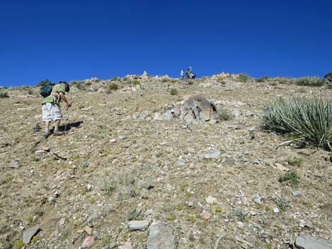
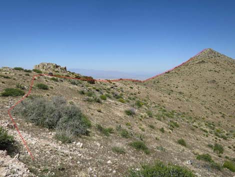
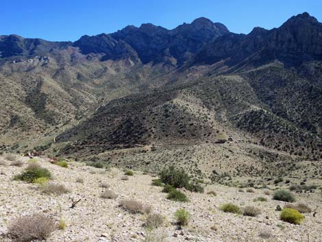
 Departing the trailhead (view NNW) |
Watch Out Other than the standard warnings about hiking in the desert, ...this is a safe and relatively easy hike, but the area is wild and remote, so be careful because even a twisted ankle could be a serious problem when help is far away. Make no mistake; going out to Gold Butte National Monument is going to wild and remote country. This is not a walk in the park; this is an adventure. Be prepared. Take food and water (lots of it during warm weather), make sure your spare tire is in good shape, and take everything that you might need to survive a night stranded with your vehicle. Law enforcement occasionally patrols the area. Cell phones get out from some places, but don't count on it. While hiking, please respect the land and the other people out there, and try to Leave No Trace of your passage. Also, even though the hike is short, the area is remote, so be sure to bring the 10 Essentials. |
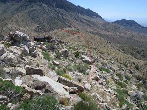
 Heading up the ridgeline (view NNW) |
Getting to the Trailhead Great Eastern Peak is located out in Gold Butte National Monument, south of Mesquite, about 2.5 hours northeast of Las Vegas in a wild, remote, and scenic area. From Las Vegas, drive out to Gold Butte National Monument and head south on the paved Gold Butte Road. From Highway 170 at Gold Butte Road, drive south for 12.2 miles to the Gold Butte boundary sign. Continue south on the pavement 1.0 miles to a dirt road that angles off to the left. Turn left and head for the hills following what turns out to be a maze of unnamed and unmarked dirt roads. At 0.8 miles out, the road forks. Drivers can take either fork, but the best thing to do is print the map and keep track of mileages. Going directly through Key West Mine is shorter, but the road is somewhat rougher and better suited for short-wheel-base vehicles. Going around is somewhat longer and steeper, so pick your poison. |
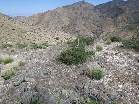
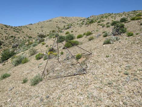 Curious exclosure on the side of the ridge (view NNW) |
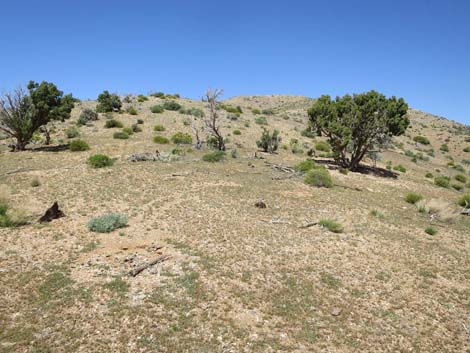
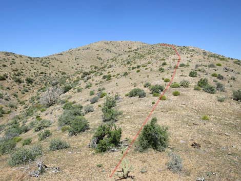
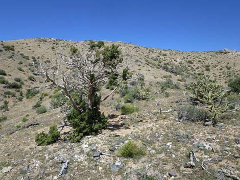
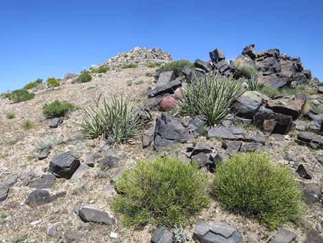
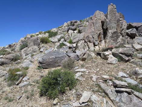
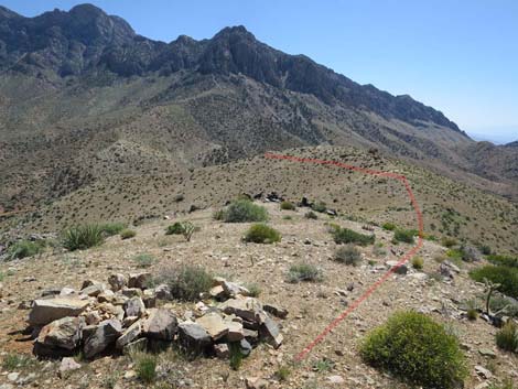
The Hike From the trailhead (Table 1, Waypoint 01), hikers leave the last shade of a Utah Juniper tree and start up the ridge to the north. The apparent summit is visible from the trailhead, but this turns out to be a false summit; even so, route finding is easy. Hikers might be distracted off the ridgeline to visit an old exclosure that probably was placed by a plant biologist after the fire. It is interesting to note that inside and outside the exclosure are virtually identical, which suggests that browsing animals (mostly cows, but also deer and burros) have had little effect on regrowth. However, there is essentially nothing inside or outside the exclosure, so it is hard to draw firm conclusions. Continuing up, the route eventually crests out on a broad ridge (Wpt. 02) near the false summit. The false summit can be bypassed by traversing onto the main ridge to the north, but it is just about as easy to walk up and past the rocky knob. |
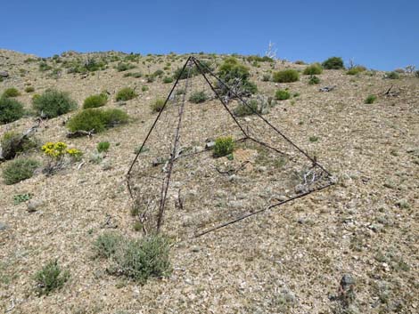 Exclosure; not much difference inside and out (view N) |
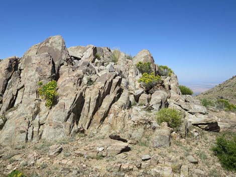
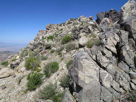
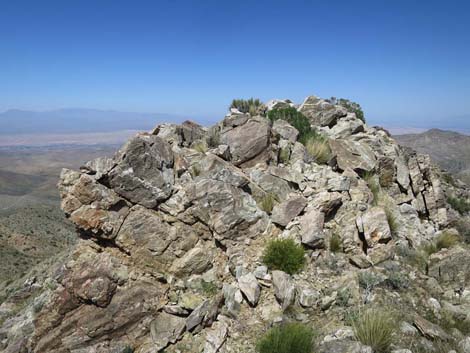
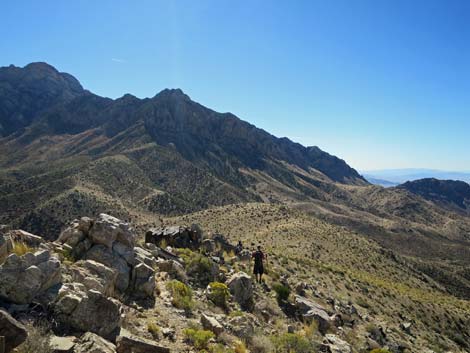
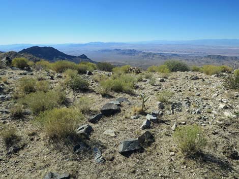
Heading north along the only ridge, and with the true summit in sight, hikers get nice views east and west. Not far from the top, a rectangle of stones encircles the stump of an old 4-inch by 4-inch wooden post that burned in the fire. This marked the corner of someone's mining claim. About this time, hikers might start wondering how hard the rocky summit will be to surmount, but it turns out to be easy on the west side of the rocky ridge. Hikers can even follow cow trails on steep terrain near the summit. Eventually, with some minimal scrambling, hikers pop onto the guano-covered summit (Wpt. 03). It seems that hawks and ravens like the place. The views are grand to the west, north, and east, and even the north face of Virgin Peak towering above is something to behold. Look up and notice the tall White Fir, Douglas Fir, and Ponderosa Pine growing on the cliffs! Return to the trailhead (Wpt. 01) by following your footprints back down the ridge. |
 Heading up the ridgeline (view NNW) |
 Utah Juniper that survived the fire (view NNW) |
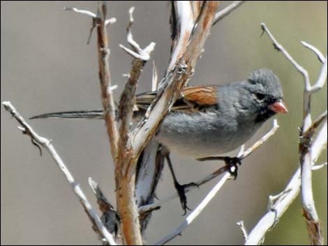 Black-chinned Sparrow; uncommon in our area |
 Heading up the ridgeline (view NNW) |
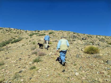 Hikers heading up the ridgeline (view NNW) |
 Hikers heading up the ridgeline (view NNW) |
 Hikers heading up the ridgeline (view NNW) |
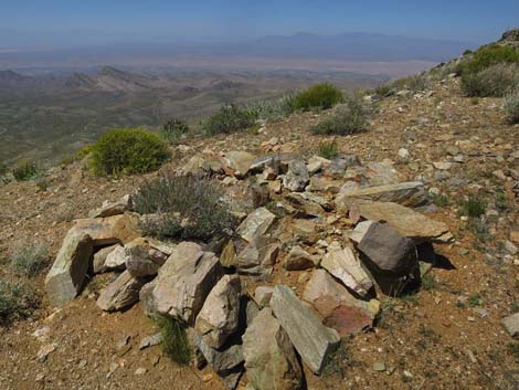
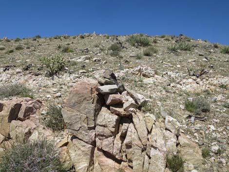 Rocky outcrop with a stone cairn (view N) |
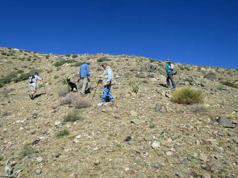
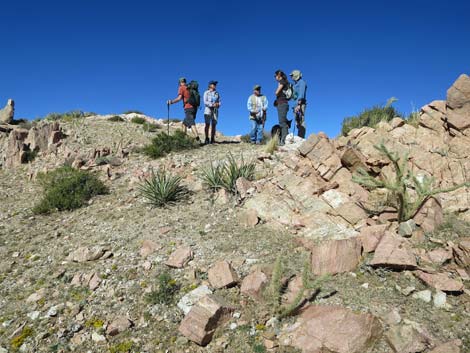 Hikers on the summit ridge (view N) |
 Arriving on the summit ridge (view N) |
 The route ahead becomes visible (view N) |
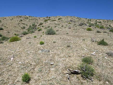
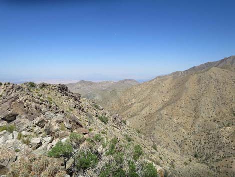
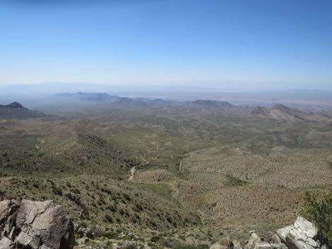
 Scenery (view NE from ridge) |
 Approaching a rocky knob (view N) |
 Rocky knob with blooming goldenbush (view N) |
 Hikers heading for the summit (view N) |
 Shrubs and black rocks on the summit ridge (view N) |
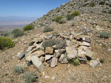 Stones surrounding a wooden mining claim marker (view NNW) |
 Stones and wooden mining claim marker (view NNW) |
 Hikers approaching the summit blocks (view N) |
 Rocky summit ridge (view N) |
 Rocky summit ridge (view N) |
 Approaching the rocky summit (view N) |
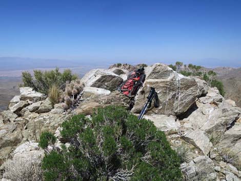
 Rocky summit with "white wash" (view N) |
 Old-time selfie on rocky summit (view N) |
Summit Views
 Summit (view NNW towards Mormon Mountains) |
 Summit (view NNE towards Beaver Dam Mts., Utah) |
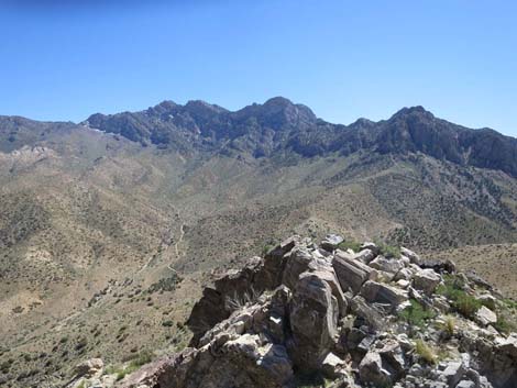
 Summit (view E towards Virgin Ridge) |
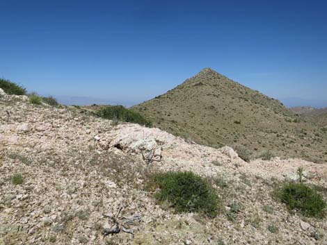
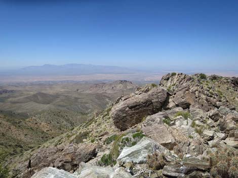
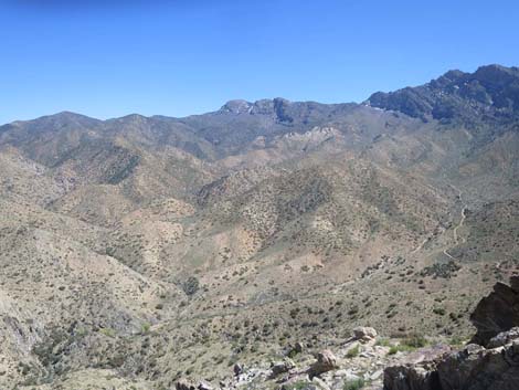
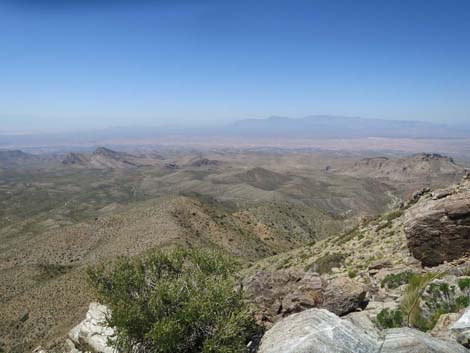
 Summit (view S towards Virgin Peak) |
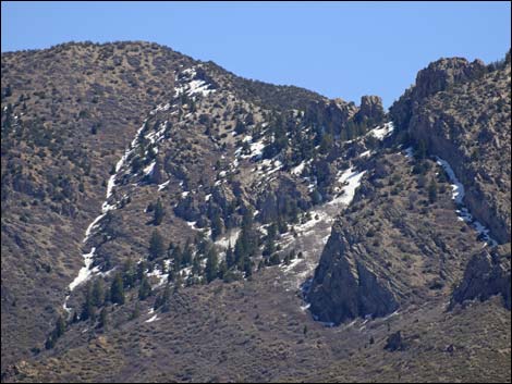 Pleistocene relict forest with Douglas Fir and White Fir |
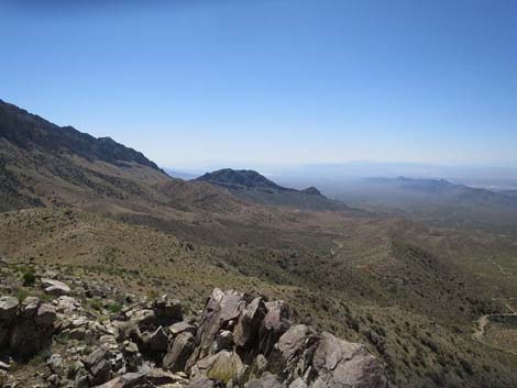 Summit (view SW towards Lake Mead) |
 Summit (view W towards Mt Charleston) |
 Summit (view W towards Sheep Range) |
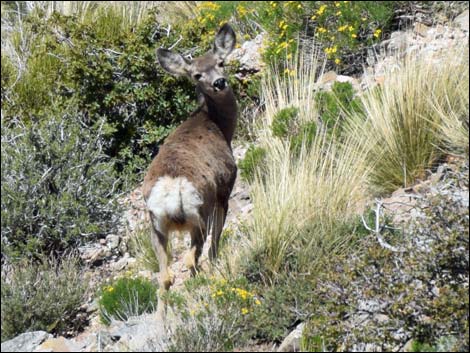 Mule deer doing a quick threat assessment (view NW) |
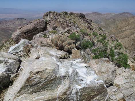
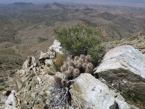 Cactus and shrubs on the rocky summit (view NW) |
The Descent
 |
 |
 |
 |
 |
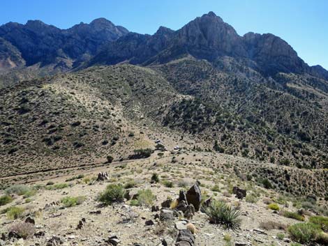 |
Table 1. Hiking Coordinates Based on GPS Data (NAD27; UTM Zone 11S). Download Hiking GPS Waypoints (*.gpx) file.
| Wpt. | Location | UTM Easting | UTM Northing | Elevation (ft) | Point-to-Point Distance (mi) | Cumulative Distance (mi) |
|---|---|---|---|---|---|---|
| 01 | Great Eastern Peak Trailhead | 755900 | 4056473 | 4,759 | 0.00 | 0.00 |
| 02 | False Summit Ridge | 755750 | 4056859 | 5,008 | 0.38 | 0.38 |
| 03 | Great Eastern Peak | 755780 | 4057167 | 5,282 | 0.23 | 0.61 |
| 01 | Great Eastern Peak Trailhead | 755900 | 4056473 | 4,759 | 0.61 | 1.22 |
Note: All distances, elevations, and other facts are approximate.
![]() ; Last updated 240325
; Last updated 240325
| Hiking Around Gold Butte | Hiking Around Las Vegas | Glossary | Copyright, Conditions, Disclaimer | Home |