Hiking Around Las Vegas, Gold Butte National Monument
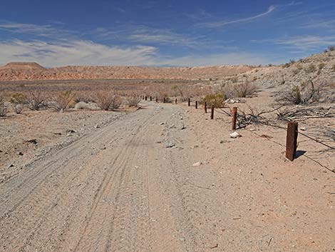
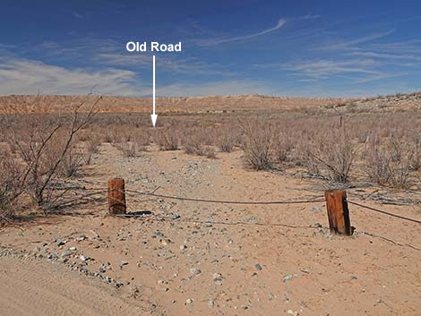
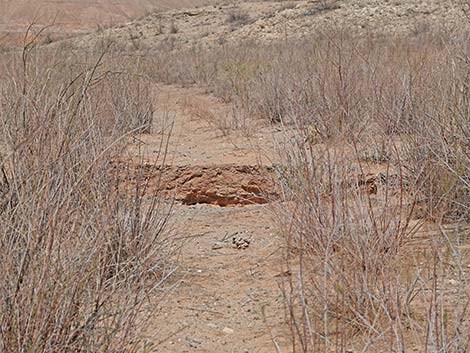
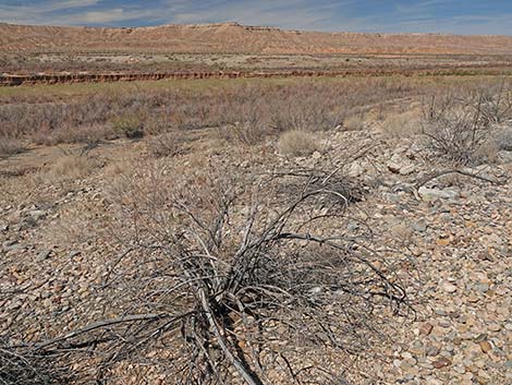
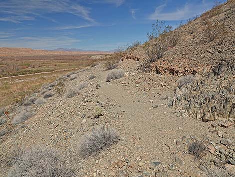
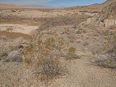
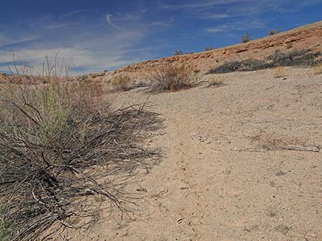
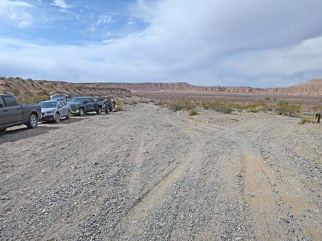 Trailhead parking where VRL Road forks near the river (view SW) |
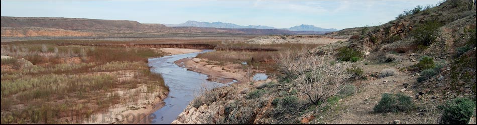
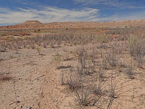
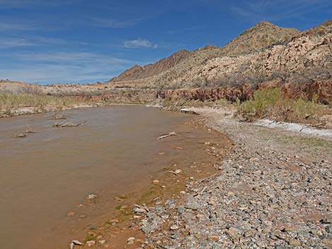
Overview The Gentry Ranch area is an interesting place to hike along the banks of the Virgin River, parts of which were underwater when Lake Mead was higher. There is some history here, but it isn't the most exciting place to hike. However, in southern Nevada, we seldom get to hike along a flowing river on our home turf, so that makes this hike a treat. The early spring wildflowers can be great at this low elevation. Historically, the Gentry family ran thousands of head of cattle in the Gold Butte area, and this area is marked on some old maps as "Gentry Ranch." However, there do not seem to be any old buildings or remains of other structures that one might expect to find at a spot marked "ranch" on an old map. This area was the site of the old bridge over the Virgin River, suggested by ground works visible across the river (not visible in 2022), that appears to be where the old Arrowhead Trail Highway crossed the river. A gap in the ridge across the river was cut for the Arrowhead Highway, the first road built for motor vehicles connecting Los Angeles with Salt Lake City. |
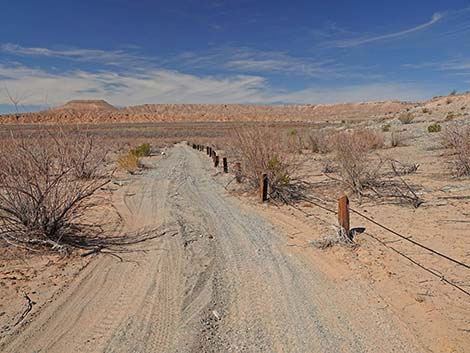
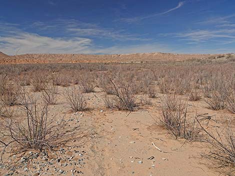
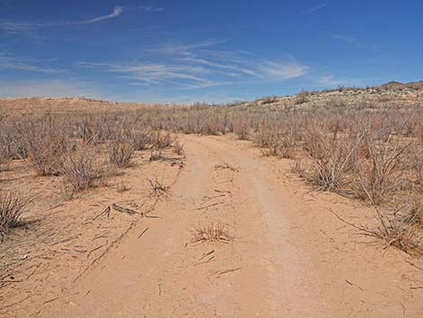
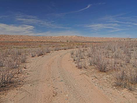
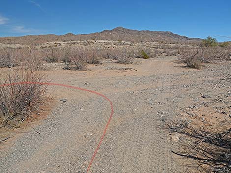
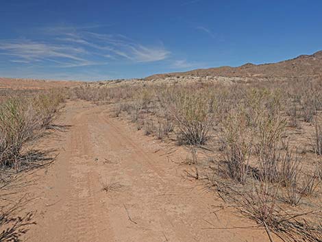
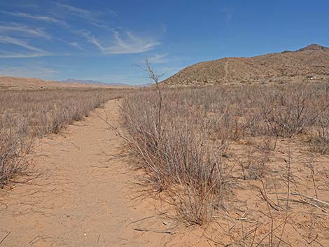
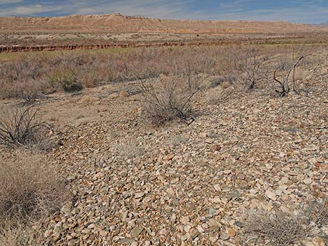
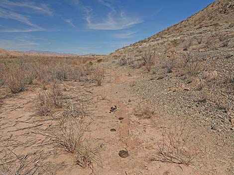
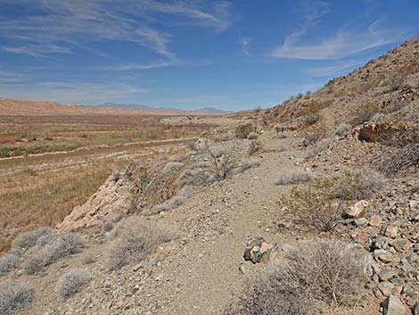
 The route starts following the right fork of VRL Road (view NW) |
Link to hiking map. Watch Out Other than the standard warnings about hiking in the desert, ... this is a fairly safe hike, although the trail runs across some craggy cliffs above the river where someone could fall if they tried. This is a wild and remote area without services of any kind (no restrooms, no water, no gas, no food). Bring what you need to survive. Be prepared and be self-reliant. Someone will find you eventually if you stay on a main road, but be prepared to survive alone for a day or two. Cell phones worked on southern parts of this route. While hiking, please respect the land and the other people out there, and try to Leave No Trace of your passage. Also, this is a remote hike, so be sure to bring the 10 Essentials. This hike is inside Lake Mead National Recreation Area, so pay extra attention to protecting the land. |
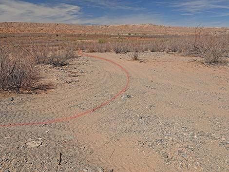
 Starting down the right fork of VRL Road (view NW) |
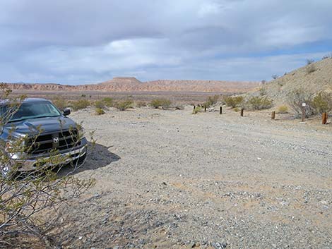
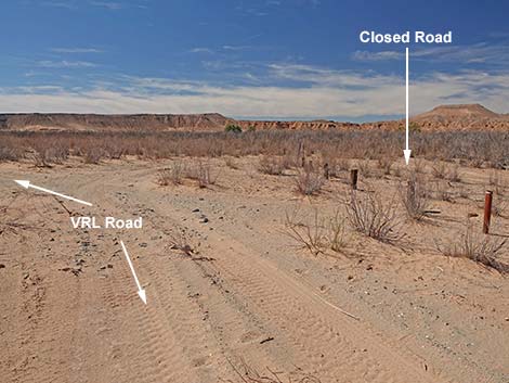
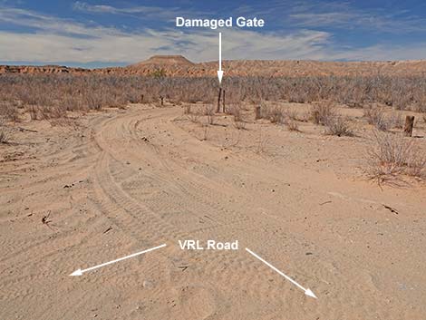
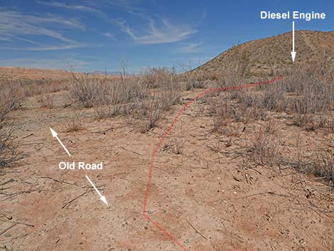
Getting to the Trailhead The Gentry Ranch site is located out in Lake Mead National Recreation Area along the Virgin River, about 2.5 hours northeast of Las Vegas in a wild, remote, and scenic area. From town, drive out to Gold Butte National Monument. From Highway 170 at Gold Butte Road, drive south 14.2 miles to Fisherman Cove Road, on the right. From the pavement, drive southwest and downhill for about 7 miles to a major fork in the road with directional signs. Bear right onto Virgin River Landing Road (VRL Road) as it starts to climb towards Black Ridge to the north. The road eventually bends left and heads down towards the river. Use caution on sharp curves. Eventually, VRL Road emerges from a canyon onto an alluvial fan that once was below the surface of Lake Mead. As the road emerges from the canyon, it forks. It probably is easiest to park at the fork, as both forks get quite sandy farther down. Park here at the fork; this is the trailhead. |
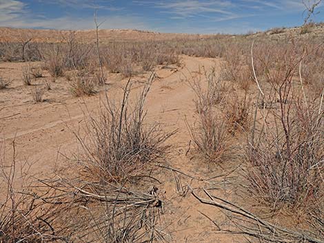
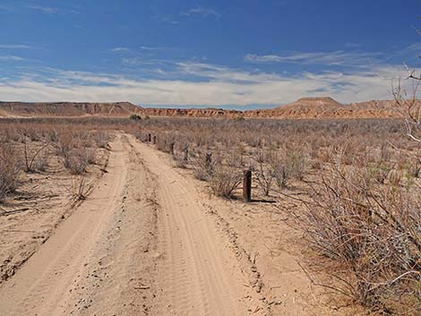
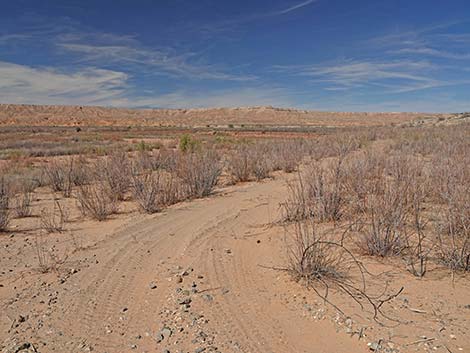
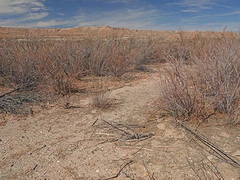
 Right fork of VRL Road follows the post-and-cable fence (view NW) |
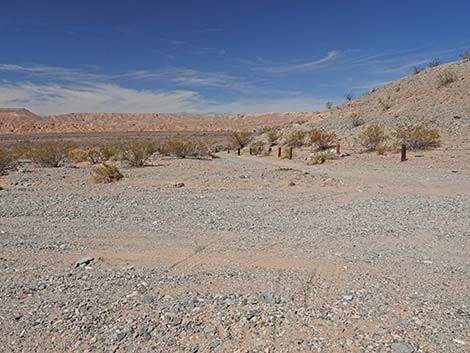
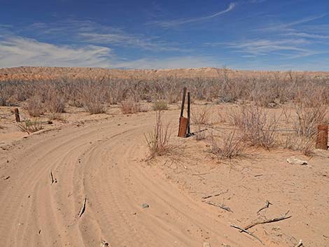
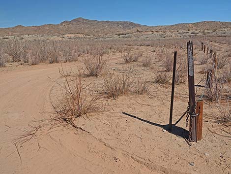
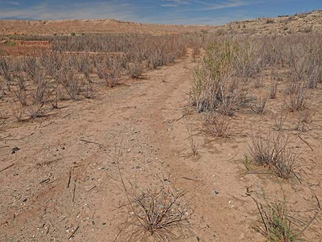
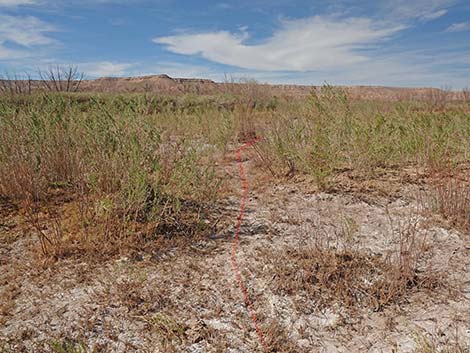
The Hike From the trailhead (Table 1, Waypoint 01), which is just below the old high-water mark for Lake Mead, the route runs northwest on the right fork of VRL Road. At about 300 yards out when the road curves left, hikers can walk straight into the bush (shortcut), or they can stay on the road and follow it around to a gated service road. Staying on VRL Road, hikers continue southwest for another 200 yards. When the road bends farther left, away from the fence, hikers will see a gate on the right. Unfortunately, people have damaged the gate and drive illegally on the service road. Passing through the gate, hikers will see a "no vehicles" sign as the road hair-pins back to the right following the other side of the fence. Before long, the road curves left to heads more northward away from the trailhead. Taking the shortcut, hikers hop the fence and continue straight into the bush. Before long, the shortcut meets the closed service road saving a minute or two of hiking time. |
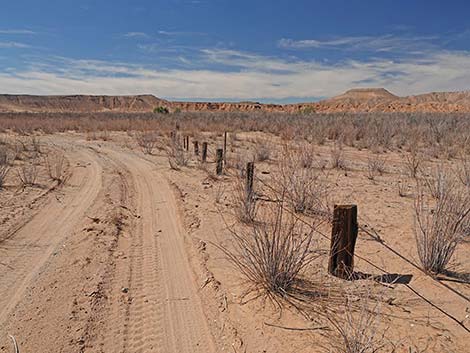
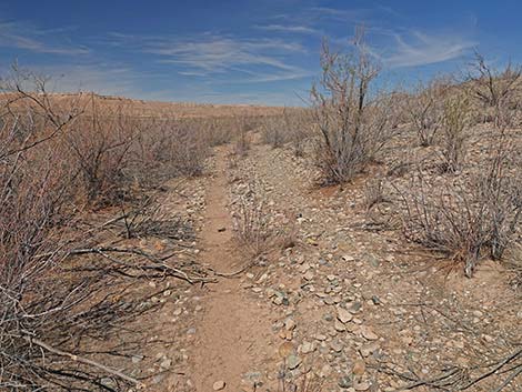
 Right fork of VRL Road follows the post-and-cable fence (view NW) |
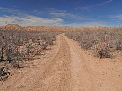
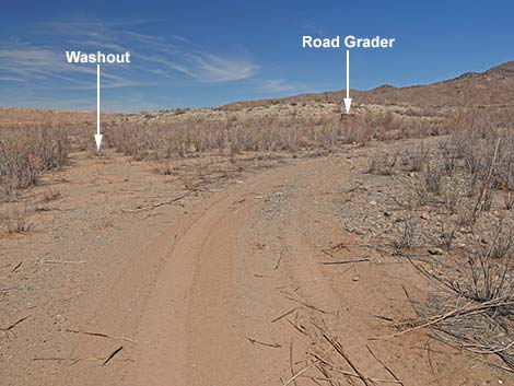
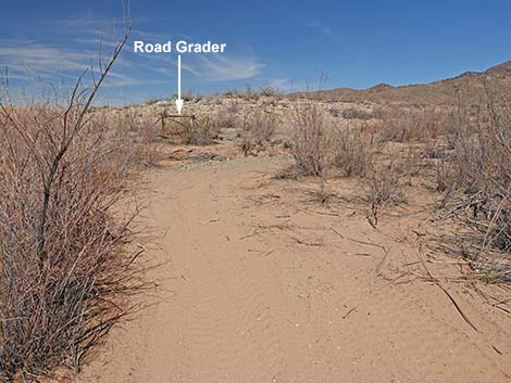
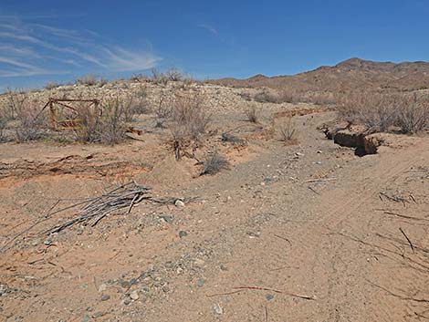
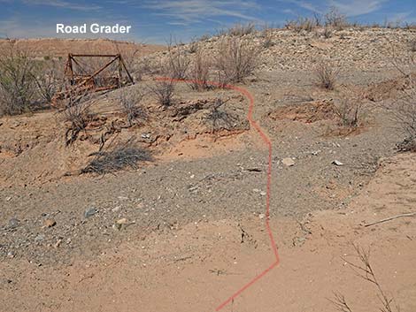
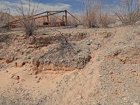
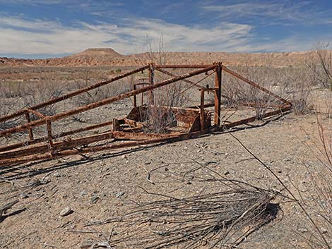
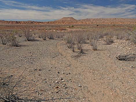
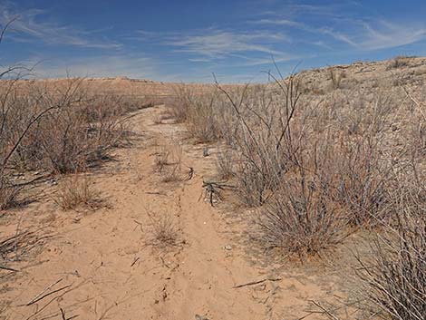
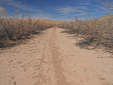
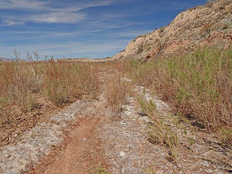
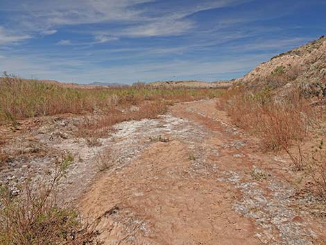
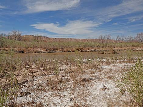
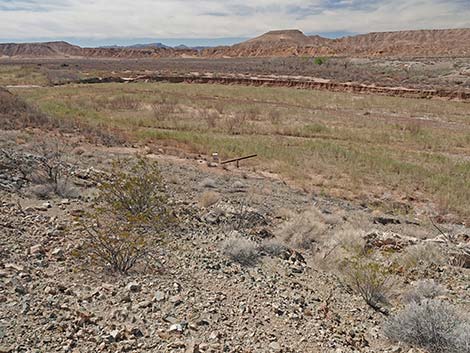
Regardless of which start hikers used, both now continue northwest along the old road, which is the historical Arrowhead Trail Highway. The road runs out to the edge of mud cliffs with a view of the Virgin River floodplain. Depending on how the river is meandering, the main channel might be close under the cliffs, or it might be on the far side of the basin. In 2022, the river was somewhere out on the horizon. The service road bends away from the edge of the mud cliff and continues northward. Shortly, the road forks. Looking straight up the Arrowhead Trail Highway, hikers can see a big washout, and so the roads bends right to cross the wash above the washout. The illegal drivers created a road that continues northeast, but hikers need to bend hard to the left to return to the Arrowhead Trail Highway. Continuing northwest, the Arrowhead Trail Highway is washed out again. Again, the road bends right and runs upstream along the wash. Shortly, an old, rusty piece of equipment comes into view, and when just across the wash, hikers will find an easy wash-crossing where cows have broken down the edge of the wash. Here, at about 0.4 miles out, the route passes an old trailer-type road grader (Wpt. 02) that spent some years beneath the surface of the lake. |
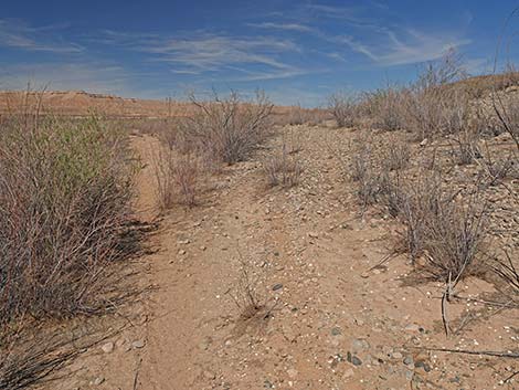
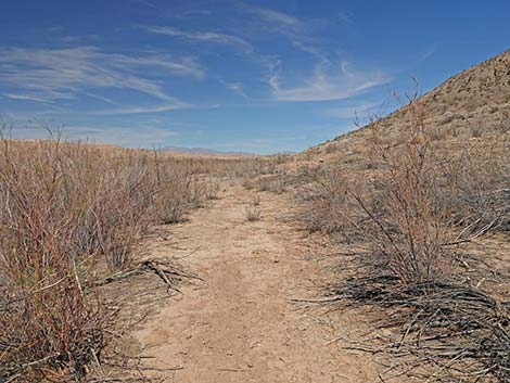
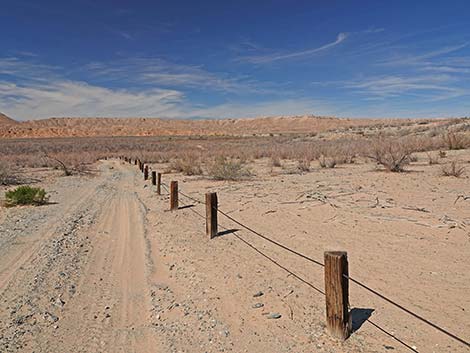 Right fork of VRL Road follows the post-and-cable fence (view NW) |
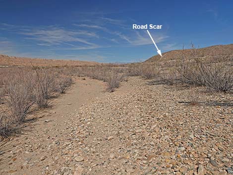
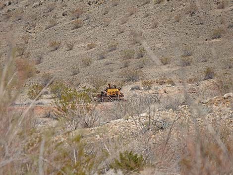
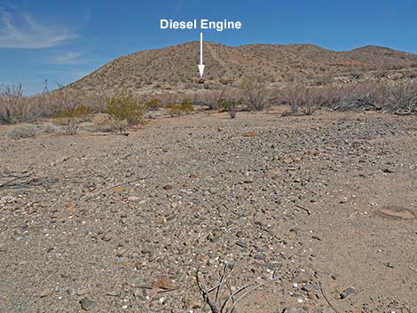
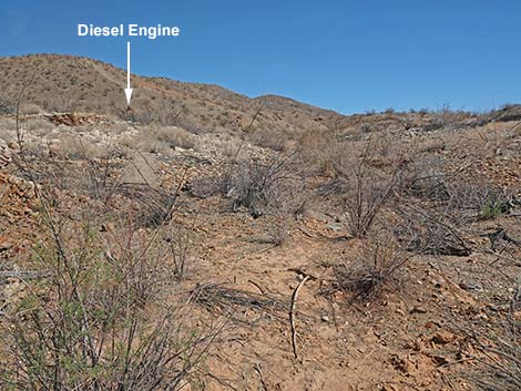
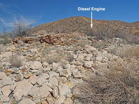
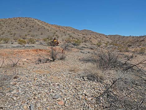
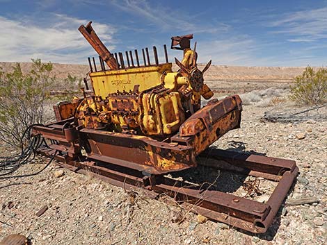
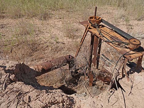
It is likely that the grader was used to maintain the Arrowhead Trail Highway. In 1938, St. Thomas flooded, and this area would have flooded soon after, probably by 1940. Continuing past the road grader, the route runs back west to rejoin the Arrowhead Trail. From this point, it seems that illegal drivers no longer go this way, evidenced by bushes pushing into the road. Shortly after rejoining the old road, look on the left for an old well casing pipe (Wpt. 03). In 2015, water could be seen down inside the pipe. Following the Arrowhead Trail north, the road seems to fork. The cows go left onto the mud flats, but the old road stays right onto soils covered by rounded cobble stones. It is not always clear, but the old road runs along the base of the slope, not out in the mud flats. By about 0.7 miles out, hikers will notice an old road scar cutting straight up the side of a ridge ahead on the right. At the base of the road scar, an old diesel engine sits near the old high-water mark. For those interested in visiting this old item of historical interest, when getting close (about 0.8 miles out), a wash crosses the old Arrowhead Highway. Hikers can leave the road and hike northeast up the wash the old Caterpillar diesel engine (Wpt. 04), which sits silently on the north edge of the wash. |
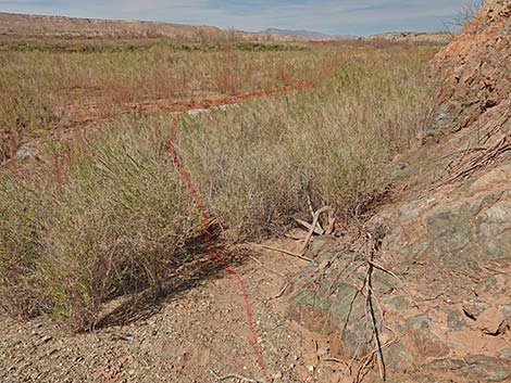
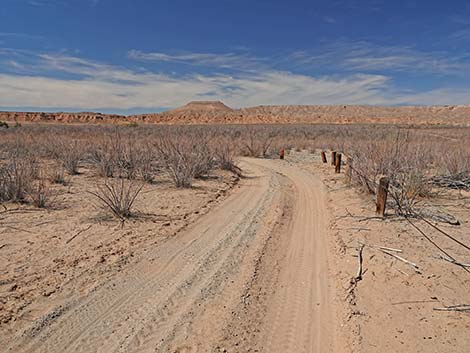 Approaching curve, hikers can jump the fence (view NW) |
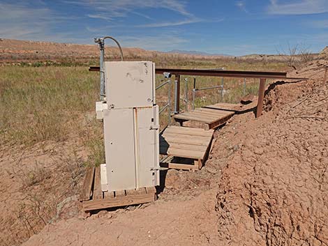
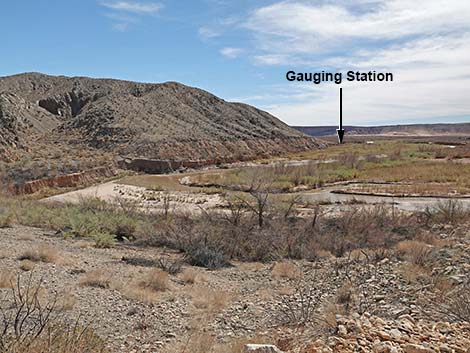
It looks like someone hauled the engine to just high enough to prevent the lake from swallowing it, but then abandoned it to the ages. It is possible, however, that the very highest waters of Lake Mead covered the engine. While there, notice the pile of old rubber belts. Departing the diesel engine, hikers turn west and returns to the Arrowhead Highway. The slopes below the engine are covered with loose, rounded river rocks from which finer sediments were washed away by lake waters, so watch your step carefully. Continuing north, the old road runs closer to the edge of the mud cliff. At about 1.0 miles out, the old road ends at an old USGS water gauging station (Wpt. 05). A gauging station is an installation used to measure the height of the water, presumably in the old river channel, which can be used to determine stream flow. All of the equipment is gone, but the instrument boxes and walkways remain. The gauging station was placed at the site of a water pumping station. The well pipe and mechanical equipment to pump the water remains, and judging by the rubber belts, it seems that the diesel engine was used to power the pump. |
 Hikers can jump the fence into the bush (view NW) |
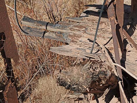
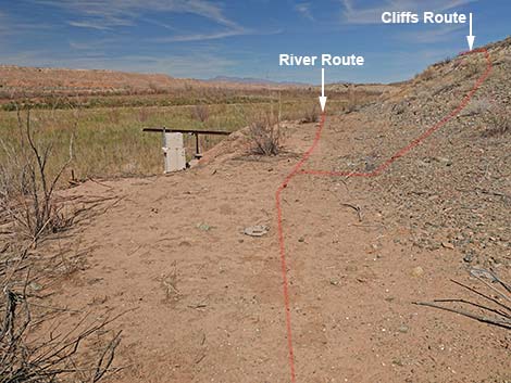
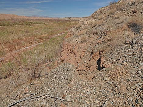
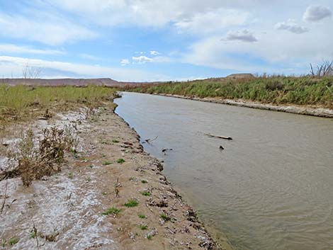
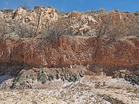
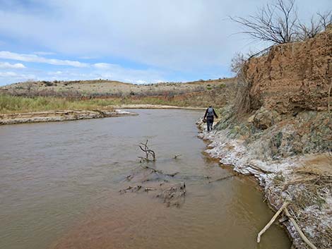
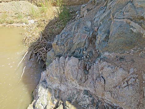
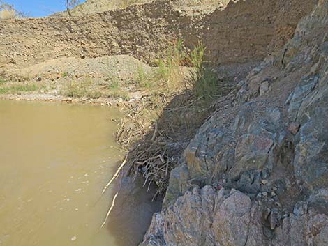
it is interesting to note the heavy wooden boards and pilings at the base of the pump mechanism, which have been burned. The Arrowhead Trail Highway crossed the Virgin River on a wooden bridge somewhere near this point, but the bridge burned in 1925 and was not rebuilt. It is possible that these burned boards are all that remain of the old bridge. In 2015, possible bridge abutment structures were visible across the river, but they were not seen in 2022. For hikers continuing past the gauging station, a decision needs to be made: either drop down along the river or climb to a narrow trail and traverse the rocky cliffs above the river. For hikers intent on continuing north to the "Gentry Ranch" area, the upper route is harder but more certain, and the lower route is passable only when the river is low enough. For the lower route, hikers start north from the gauging station atop the mud cliffs. In 25 yards or so, a cow trail cuts steeply down the mud cliffs to river level, and hikers can walk on the banks of the river until getting blocked between the river and rocky cliffs. If the river is low enough, hikers can climb (3rd class) around a cliffy corner and continue north into the "Gentry Ranch" area. |
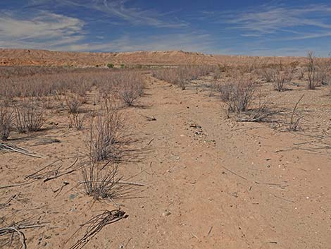
 In the bush, hikers can just head northwest (view NW) |
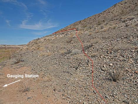
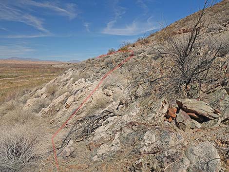
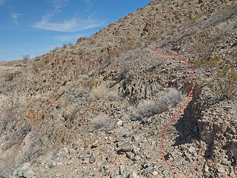
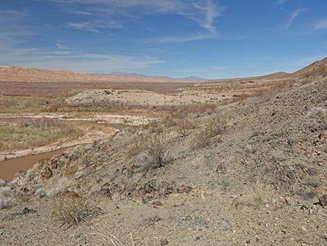
Alternatively, from the water gauging station, hikers can angle up and across the steep hillside to join a narrow trail that traverses ledges and side slopes high above the river. The trail is a bit higher than the white band of cliffs visible from below, and it looks as if it might be the high-water mark (but it always was dry). The trail across the cliffs isn't dangerous, but it requires care: it is narrow, faint in places, and there is a bit of Class-2 scrambling where the trail dips in and out of steep gullies. The trail must have been man-made as a foot trail because it is not suitable for cows, burros, or horses. Past the steep hillside, the terrain eases, and the trail disappears. Continuing north, hikers dip into a broad (and much more gentle) side canyon. In the canyon bottom, hikers can walk down to the river just upstream from the rocky cliffs that likely blocked hikers walking upstream along the river. Hikers can also continue north between cliffs and brush thickets to eventually climb onto low bluffs. Atop the bluffs, which overlook the river and a vast landscape, it is easy to image that the Gentry family would have built a ranch up here, but it seems that nobody did. |
 Continuing through the bush following a cow trail (view NW) |
In this area, visitors can hike along the river, hike up on the bluffs, or explore narrow little canyons that cut into the mountains. This is a good place to wander about, see what is out there, and spend some quality time with wildflowers and flowing water. Hikers will not, however, find remains of the Gentry Ranch buildings. When ready to return to the trailhead (photos of the return), hikers might consider making a loop. Depending on water levels, the river-edge cliffs might be passable. I found it easier than it looked, but still waters run deep, so consider water levels and use good judgment. For hikers returning via the high route, when crossing the broad, gentle side canyon, look carefully for the faint start of the trail and don't drop too low into the cliffs looking for it. For hikers returning via the riverbank route, the hoist-boom at the gauging station is visible from a distance -- just beyond the cow trail that cuts up through the mud cliffs. From the gauging station, return to the trailhead (Wpt. 01) via the old Arrowhead Trail Highway. |
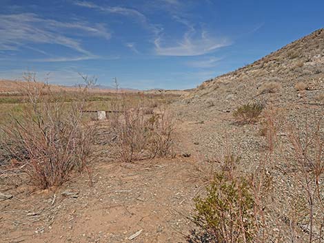
 Approaching the old road (view NW) |
 Rejoining the old road (beyond the gate; view N) |
Staying on the Road to the Gate
 Alternatively, hikers can continue on the road (view NW) |
 Continuing on the road (view NW) |
 Legal road curves left (view W) |
 Closed road curves right (view NW) |
 Approaching the damaged gate (view NW) |
 Note that sign says: No Vehicles (view NE) |
Routes Rejoin and Continue North
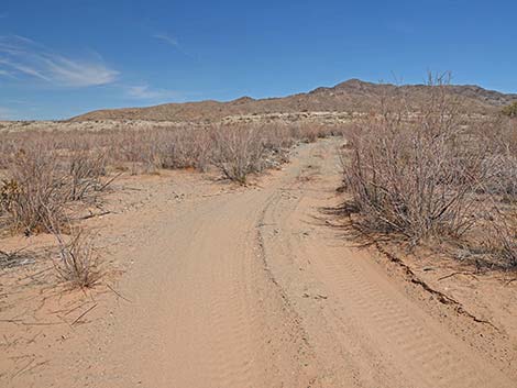
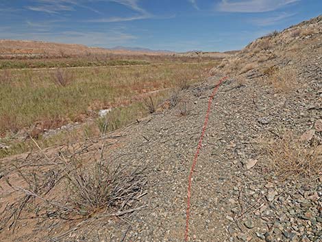
 The route follows the old road (view NW) |
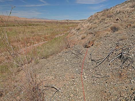
 Old road runs out to the edge of mud cliff (view NW) |
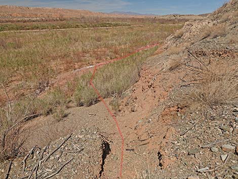
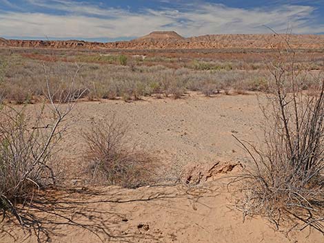 Edge of mud cliff (view W out over the river-bottom flood plain) |
 The old road forks right to avoid a deep washout (view N) |
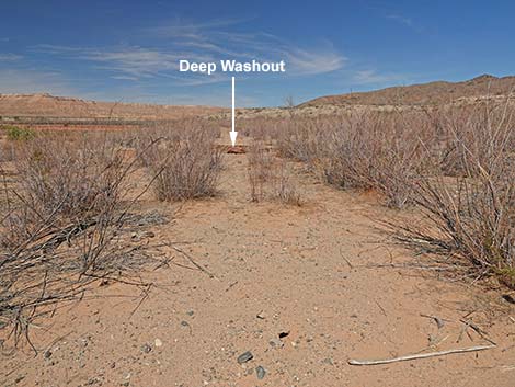 Deep washout on the original road (view N) |
 Deep washout on the original road (zoom; view N) |
 Approaching intersection of illegal roads (view NE) |
 The route bends left to stay on the original old road (view NW) |
 Returning to the original old road (view NW) |
 Approaching another fork in the old road (view N) |
 The old road forks right to avoid another deep washout (view N) |
 Old road approaching the road grader machine (view NE) |
 Road grader is visible across the gully (view NE) |
 An easy place to cross the gully (view N) |
 Approaching the road grader machine (view NW) |
 Road grader machine (view NW; front to back) |
 Departing the road grader (view W) |
 Approaching the old road (view W) |
 Returning to the old road (view NW) |
 Past the grader, the old road seems unused by illegal OHVs |
 Cows use the old road (view NW) |
 Cows use the old road (view NW) |
 Fork in the old road: cows to the left; hikers to the right (view N) |
 Old road crosses soils covered with river cobbles (view N) |
 The route follows the old road (view N) |
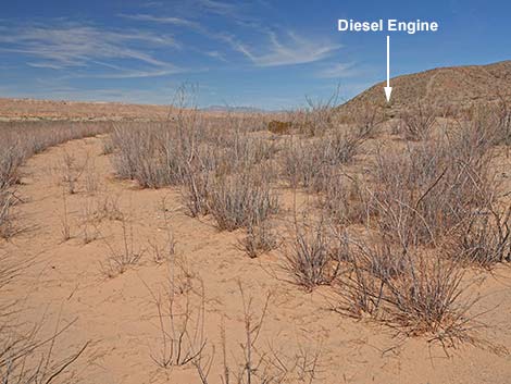 The diesel engine becomes visible in the distance (view N) |
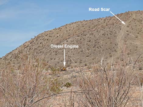 In the distance, the diesel engine is visible (zoom; view N) |
 In the distance, the diesel engine is visible (super-zoom; view N) |
 The route follows the old road (view N) |
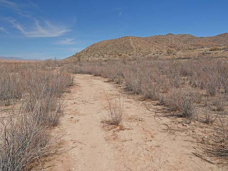 The route follows the old road (view N) |
 Approaching a wash (view N) |
 Departing the old road towards the wash and diesel engine (view NE) |
 The route runs up the wash (view E) |
 Departing the wash onto the bench above (view NE) |
 Approaching the diesel engine (view NE) |
 Arriving at the diesel engine (view NW) |
 Departing the diesel engine (view W) |
 Loose river cobbles on slope above old road (view W) |
 Loose river cobbles on slope above old road (view W) |
 Returning to the old road (view NW) |
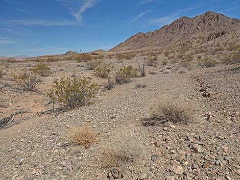
 Gentry Ranch Route (view N) |
 Gentry Ranch Route (view N) |
 Approaching the water pump and gauging station (view N) |
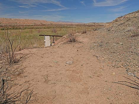 Arriving at the water pump and gauging station (view N) |
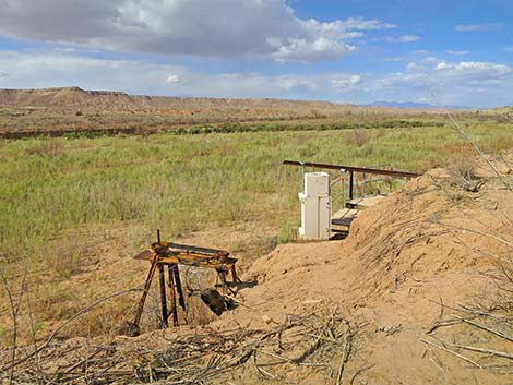 Water pump and gauging station (view NW) |
 Water pump and pump (driven by the diesel engine?) |
 Well pipe and pump attached to burned boards |
 Gauging station and wooden platform (view NW) |
Taking the Low Road along the River
 Routes northward diverge (view N) |
 Continuing on the Low Road along the River (view N) |
 Route runs atop edge of mud cliffs (view N) |
 The cows found a way down to the river (view N) |
 Steep cow trail leads down to the river (view N) |
 The cows beat a trail through the bushes(view NW) |
 An old stream channel serves as a route through the bushes (view N) |
 Following an old stream channel (view N) |
 Hikers can bust through bushes and mud to the Virgin River (view N) |
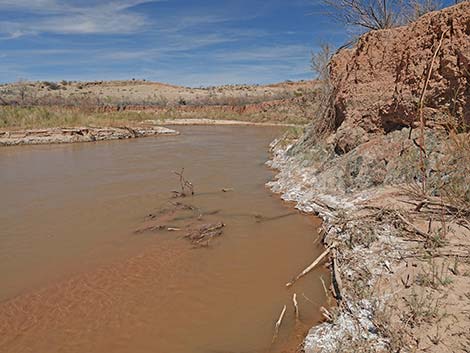
 Approaching the Virgin River (view NW) |
 Arriving at the Virgin River (view NW) |
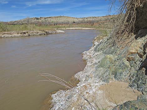
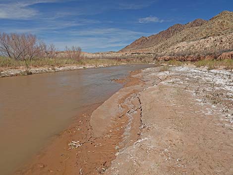 Muddy bank of the Virgin River (view NE; upstream) |
 Muddy bank of the Virgin River (view SW; downstream) |
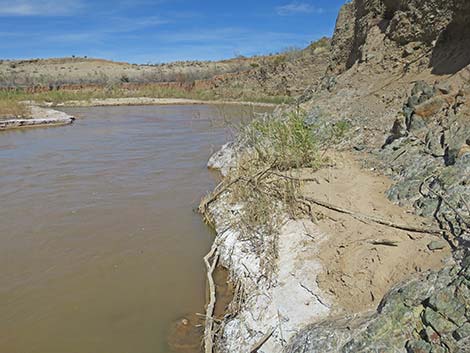
 Rocky bank of the Virgin River (view NE; upstream) |
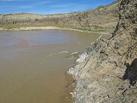
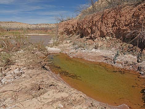 Small pond formed when the oxbow changed direction (view NE) |
 Hikers are trapped below the mud cliff (view E) |
 A hiker gives it a try (view NE) |
 At this water level, the route is passable (view NE) |
 The rocks look slippery, but are not when dry (view NE) |
 Passing a muddy alcove (view NE) |
 Approaching steep rocks on the corner (view NE) |
 Not bad climbing at the corner (the fractured rock is solid; view E) |
 Not bad climbing, but "still waters" run deep (view E) |
 More to come ... |
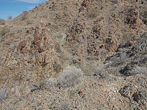
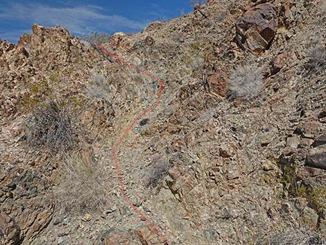
Taking the High Road through the Cliffs
Routes northward diverge (view N) |
 Departing the Gauging Station view the high route (view NE) Departing the Gauging Station view the high route (view NE) |
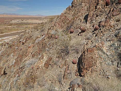
 Band of white rocks just below the trail (view N) |
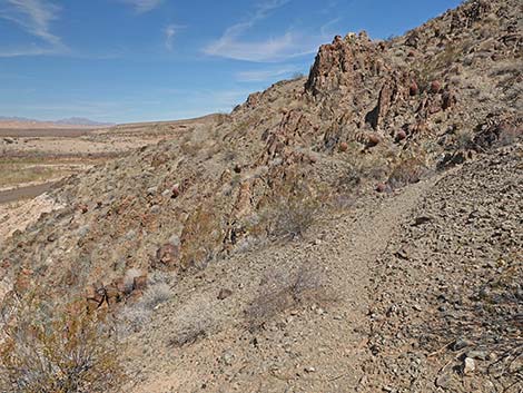
 Arriving at the trail (just above the high water line; view N) |
 Looking back at the gauging station (view SW from the trail) |
 Most of the trail is easy to follow (view N) |
 Parts of the trail are not-so-easy to follow (view N) |
 Approaching a rocky gully (view NE towards the trail) |
 Climbing out of gully, trail is hard to see but easy to follow (view N) |
 Exiting the gully; trail is hard to see but easy to follow (view NW) |
 Back to a dirt trail (view N) |
 Approaching another gully (view N) |
 Across the gully; trail is hard to see but easy to follow (view N) |
 Beyond the gully, trail is easy to see and follow (view N) |
 The trail generally becomes easier to see and follow (view N) |
 The trail continues across the hillside (view N) |
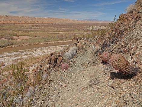
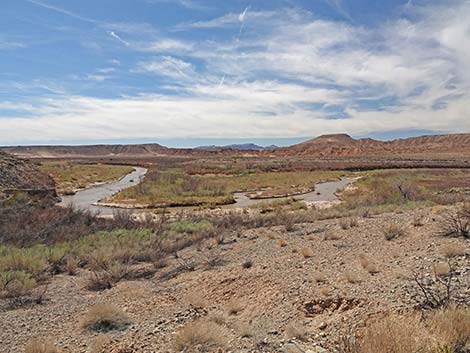
 Looking back: nice view of the Virgin River (view SW) |
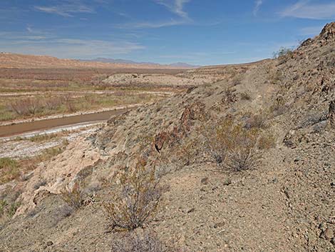
 Still above the cliffs, the trail continues across the hillside (view N) |
 Approaching a broad canyon, the trail fades away (view NE) |
 Descending the slope into the canyon bottom (view N) |
Gentry Ranch Area
 Canyon bottom; almost back to river level (view NW) |
 Route continues up near base of cliffs (view NE) |
 Route continues above bushes near base of cliffs (view NE) |
 Approaching the far side of the canyon (view NW) |
 Crossing the slope (view SW towards Virgin River) |
 Climbing onto desert flats beyond the broad canyon (view NE) |
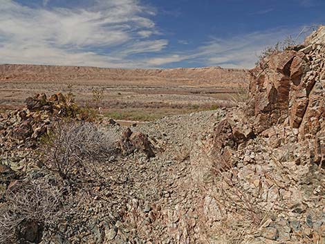
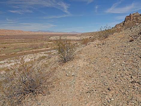
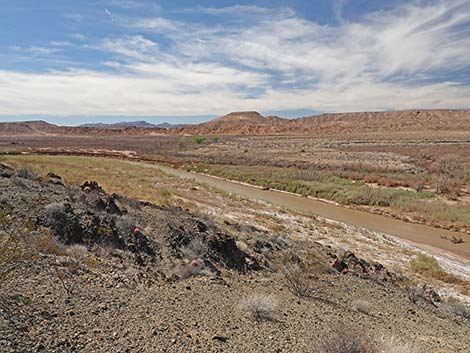
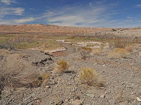
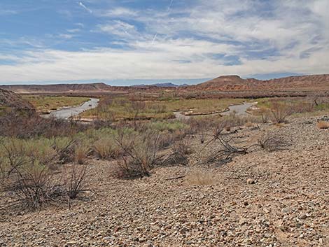
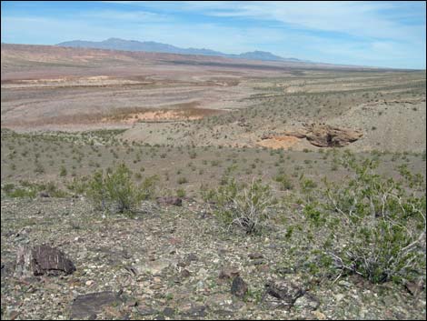
 Grand view of the river from the "Gentry Ranch" area (view SW) |
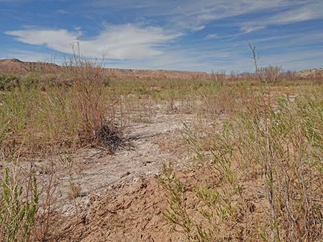
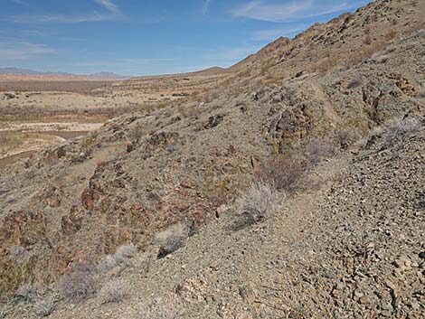
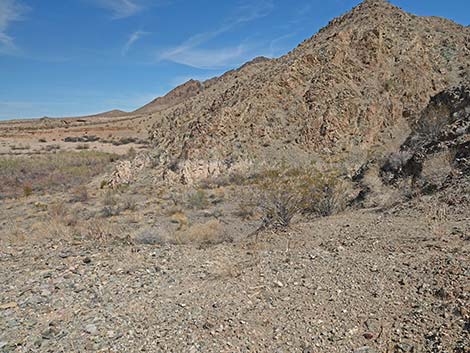
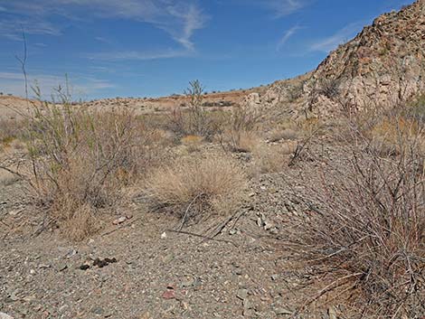
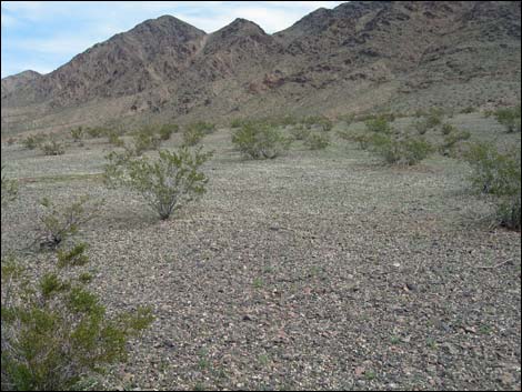
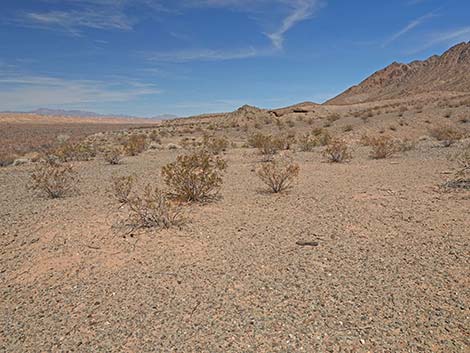 Gentry Ranch area (view N) |
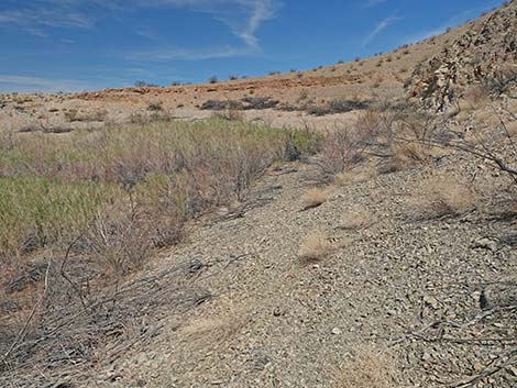
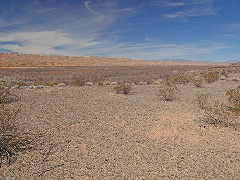 Gentry Ranch area (view NW) |
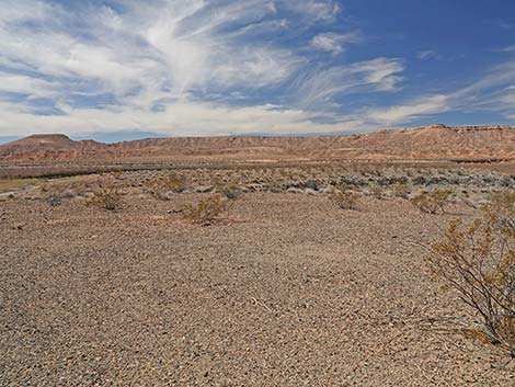 Gentry Ranch area (view W) |
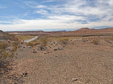 Gentry Ranch area (view SW) |
 Gentry Ranch area (view NE) |
 Beyond the cliffs, a carpet of tiny white flowers in the Ranch area |
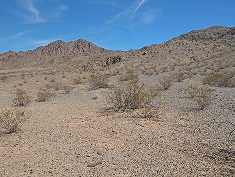
 Sparse creosote bushes across the landscape in the Ranch area |
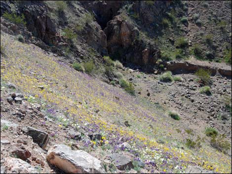 Hillside with yellow and purple flowers in 2015 |
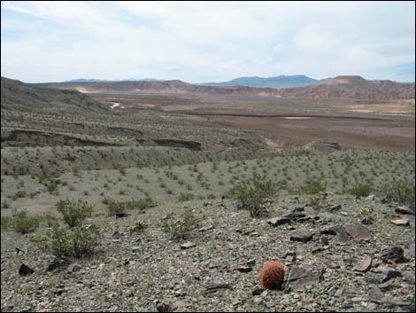 Lone barrel cactus |
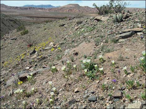 Mixed spring wildflowers |
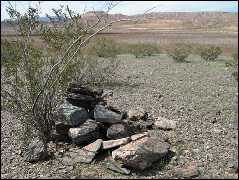 Cairn erected for some long-lost reason |
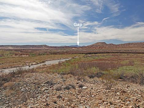 Arrowhead Highway gap in ridge (view SW from "Gentry Ranch") |
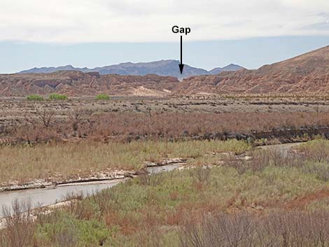 Arrowhead Highway gap (zoom view SW from "Gentry Ranch") |
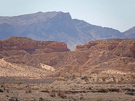 Arrowhead Highway gap (super-zoom view SW from "Gentry Ranch") |
 Return to the trailhead via low or high route (view S) |
Table 1. Hiking Coordinates Based on GPS Data (NAD27, UTM Zone 11S). Download Hiking GPS Waypoints (*.gpx) file.
| Wpt. | Location | Easting | Northing | Elevation (ft) | Verified |
|---|---|---|---|---|---|
| 01 | Trailhead | 739444 | 4043154 | 1,197 | GPS |
| 02 | Grader | 738963 | 4043448 | 1,179 | GPS |
| 03 | Well Casing | 738904 | 4043462 | 1,171 | GPS |
| 04 | Old Engine | 738744 | 4043968 | 1,208 | GPS |
| 05 | Gauging Station | 738666 | 4044136 | 1,189 | GPS |
Happy Hiking! All distances, elevations, and other facts are approximate.
![]() ; Last updated 240325
; Last updated 240325
| Hiking Around Gold Butte | Hiking Around Las Vegas | Glossary | Copyright, Conditions, Disclaimer | Home |