Hiking Around Las Vegas, Gold Butte National Monument
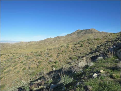
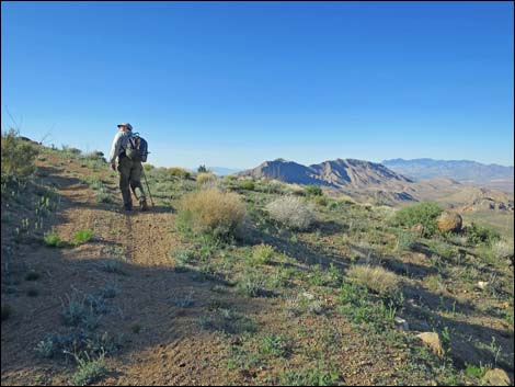
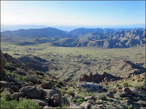
 Trailhead 2. End of legal road (view S) |
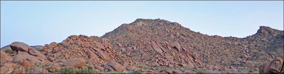
Overview Gold Butte Peak is a fun little hike in the heart of the wild and remote Gold Butte National Monument. The hike to the summit and back, for people in regular vehicles, is 3.6 miles. In an old jeep or other narrow vehicle, hikers can drive 0.97 miles closer, effectively making the hike only 1-1/2 miles round trip. Some ATV riders drive to the mine, nearly to the summit, but I doubt that is legal and it isn't really safe. Despite the short distance, the hike is strenuous because the old mining road is quite steep; hiking poles are recommended. The last 0.1 miles climbs through a steep boulder field liberally sprinkled with loose sand, gravel, and bushes. Hikers who make the summit are rewarded with what is among the best 360-degree views in southern Nevada. Although getting there is long and the hike is short, Gold Butte Peak is a real hidden gem. Link to hiking map. |
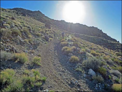
 Trail starts into canyon (view S) |
Watch Out Other than the standard warnings about hiking in the desert, ... this area is fairly safe, but there are old mines around, and holes in the ground are never safe to enter. The "mine" near the summit is not a mine, per se, rather it is a couple of bulldozed prospects more like a gravel quarry. Cell phones don't work here. This is a wild and remote area without services of any kind (no restrooms, no water, no gas, no food). Bring what you need to survive. Be prepared and be self-reliant. Law enforcement occasionally patrols the area. Someone will find you eventually if you stay on a main road, but be prepared to survive alone for a day or two. Cell phones only work along parts of the paved road. The roads require a 2WD-HC vehicle or a carefully driven sedan. While hiking, please respect the land and the other people out there, and try to Leave No Trace of your passage. Also, this is a remote hike, so be sure to bring the 10 Essentials. |
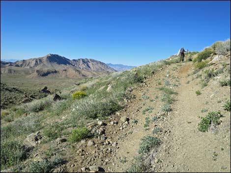
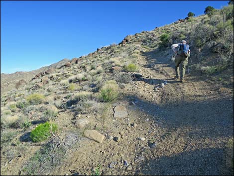
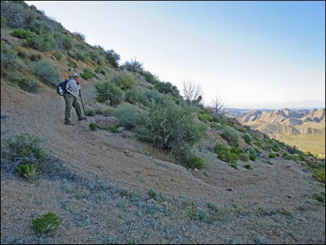
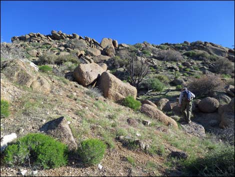
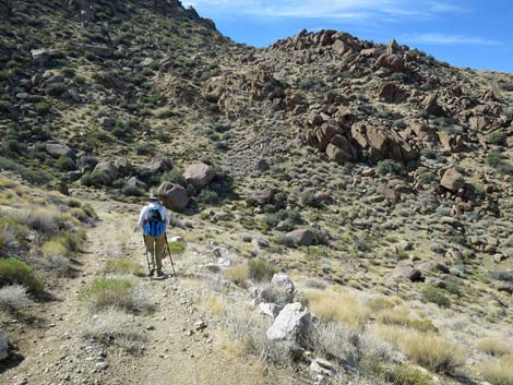
 Trail switchbacks out of canyon bottom (view S) |
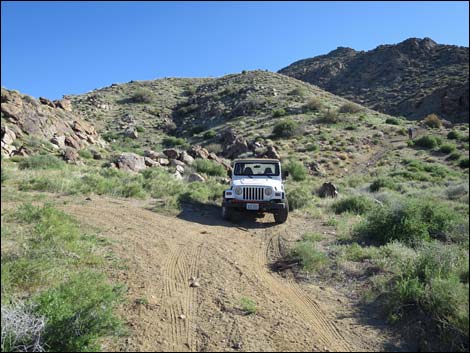
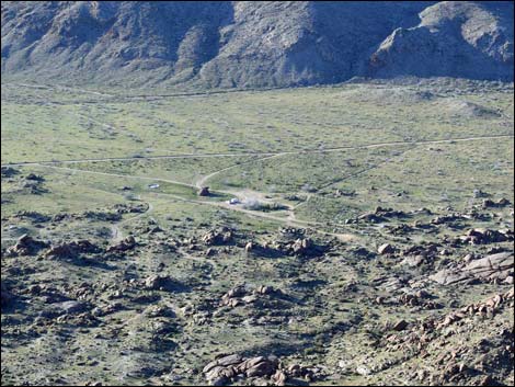
Getting to the Trailhead Gold Butte Peak is located out in Gold Butte National Monument at the northeast end of Lake Mead, about 3-1/4 hours northeast of Las Vegas in a wild, remote, and scenic area. From town, drive out to Gold Butte National Monument. From Whitney Pocket, continue south on the unpaved Gold Butte Road for 19.8 miles to a cattle guard that announces entry into the Gold Butte Townsite area. Just past the cattle guard, turn left onto Voight Well Road and drive south to the historic corral. At the corral, the road forks. Voight Well Road bends right along the corral, but stay left onto Gold Butte Peak Road. The road splits around a rock pile and continues east (stay left of the next fenceline). In normal vehicles, park in the campsite or where the road widens just before squeezing between two enormous boulders. Park here, this is the regular-vehicle trailhead. |
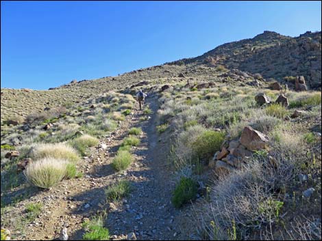
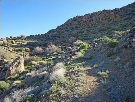
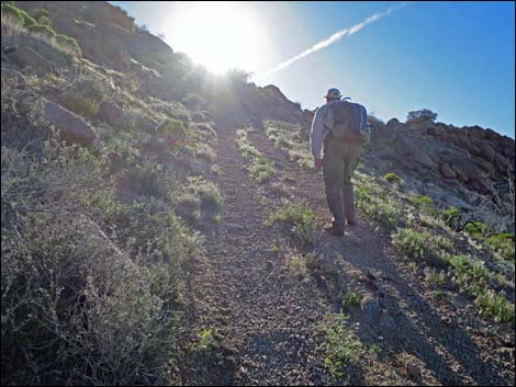
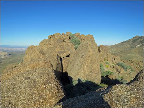
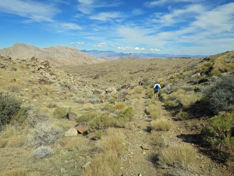
 Trail climbs onto the ridge (view NE) |
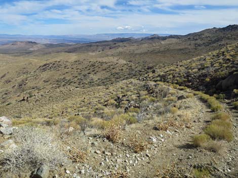
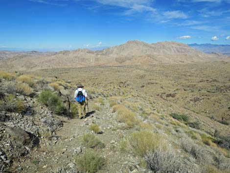
The Hike Either on foot or in a narrow vehicle, the route continues east on Gold Butte Peak Road and squeezes through the gap that is just wide enough for a jeep. Gold Butte Peak Road, now mostly used by ATVs, generally runs east and a bit south following a wash. At about 175 yards past the squeeze, the route passes an historic arrastra below cliffs on the right. Take a minute to walk over and see this historic gold mill. At 0.46 miles out, the road turns left against the side of the North Ridge of Gold Butte Peak. At one time, this was the end of the legal road, but now a well-used road continues north. Hikers should continue southeast here, short-cutting the road by climbing over the ridge. Otherwise, the road runs north, turns east around the toe of the ridge, and loops back south along the other side of the ridge. The road ends at a turn-around loop at the base of a steep canyon. This is the second trailhead. Most vehicles, even most ATVs, stop here. |
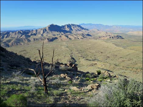
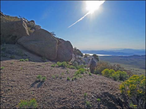
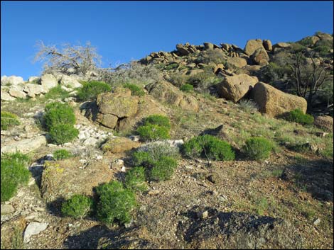
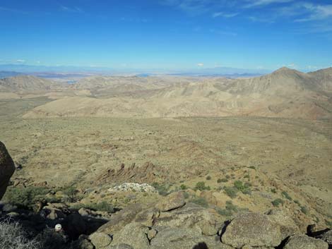
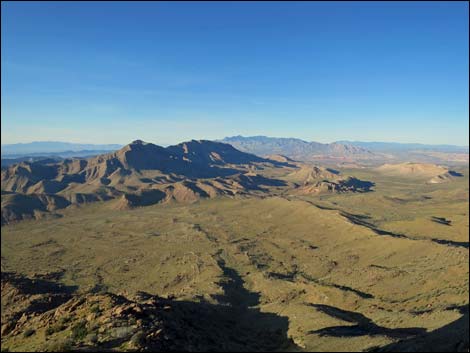
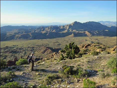
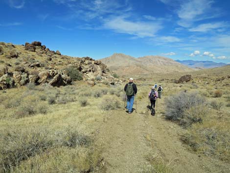
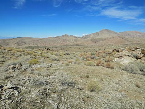
 The views start getting good (view NE) |
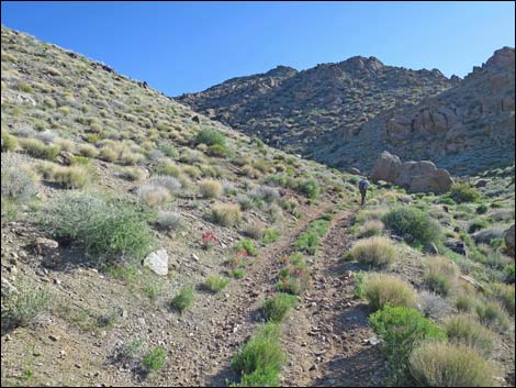
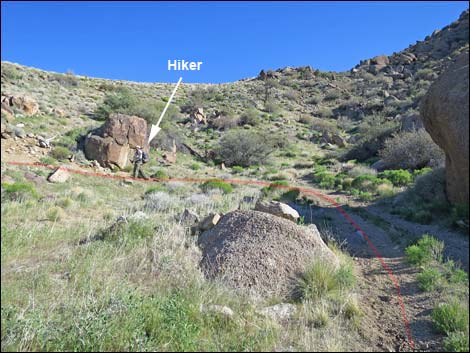
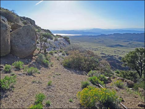
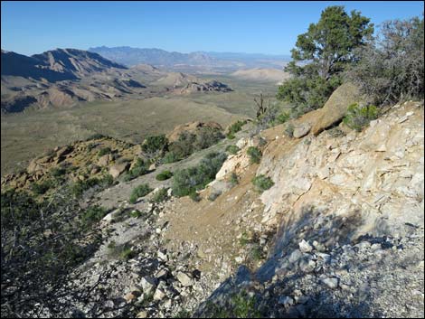
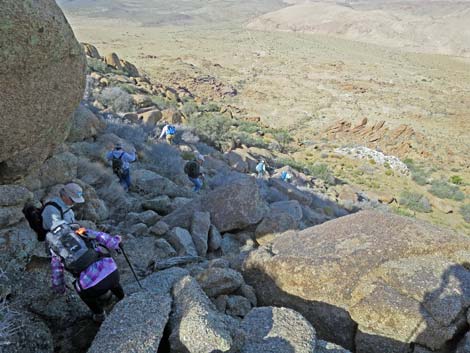
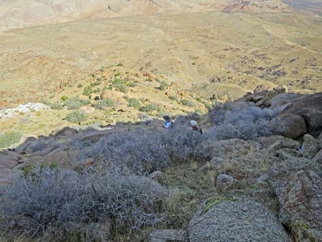
Continuing on foot from the second trailhead (Table 1, Waypoint 01), the narrow old mining road runs steeply up into the canyon. Much of this area burned a few years ago, but the bottom of the canyon remains well vegetated with lots of Shrub Live Oak and a few Singleleaf Pinyon Pines. In addition, many shrub species survived the fire here on the shady, relatively moist north side of the mountain, including Narrowleaf Goldenbush, Paperbag Bush, Virgin River Brittlebush, and Needlegrass-type bunchgrasses. Turning out of the canyon, the old mining road steeply climbs across the hillside and arrives at the first of many grand views. The old road switchbacks up the hillside (7 turns depending on what is counted). The old road is consistently steep and covered in rocks and loose gravel, but with every turn, hikers are rewarded with better and better views. In this area, a few Eastern Joshua Trees survived the fire, as did some Hairspine Pricklypear and Engelmann's Hedgehog Cactus. |
 Steep trail along ridge (view S) |
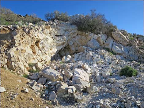
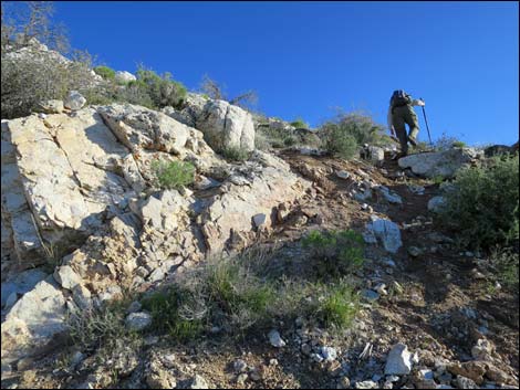
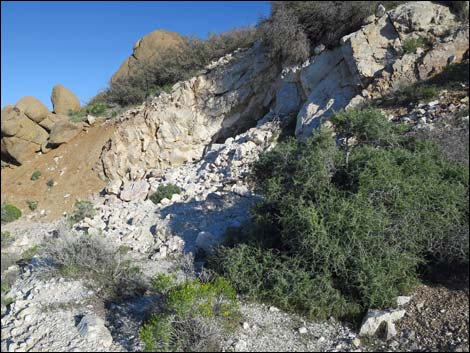
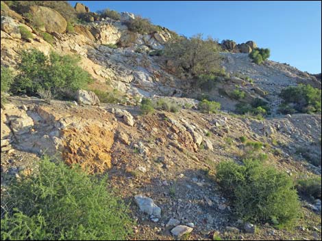
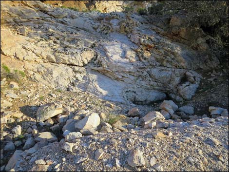
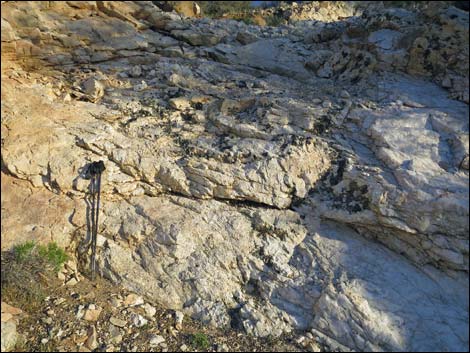
The old road eventually splits (not really noticed on the way up) and in a few yards crests a low ridge (Wpt. 02) to arrive at the upper portion of the mine site (Wpt. 04). Little work was done here, except for pushing rocks around with a bulldozer. A few bits of mining debris remain, but the large white-quartz vein surely excited somebody. The unusually large mica crystals, exposed at the lower mine site (Wpt. 03), excite me. This higher-elevation, north-facing hillside is fairly well vegetated with lots of shrubs and even a few Utah Juniper Trees. Unexpectedly, there are lots of Desert Almond shrubs up here (normally a desert wash species), plus some Desert Princesplume and Parry's Lipfern growing among the boulders. From the west side of the upper mine site (Wpt. 04), a steep use-trail cuts up the dirt bank adjacent to the excavation and then follows steeply up along the west side of the quartz vein. |
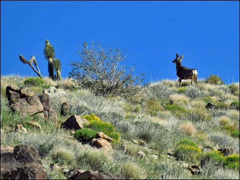 Joshua Trees, Shrub Live Oak, lots of shrubs, and mule deer |
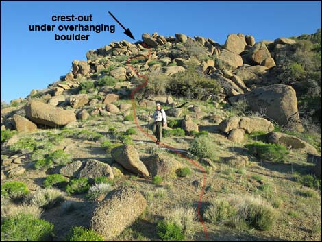
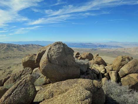
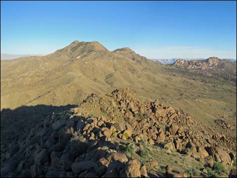
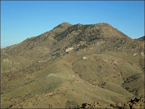
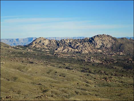
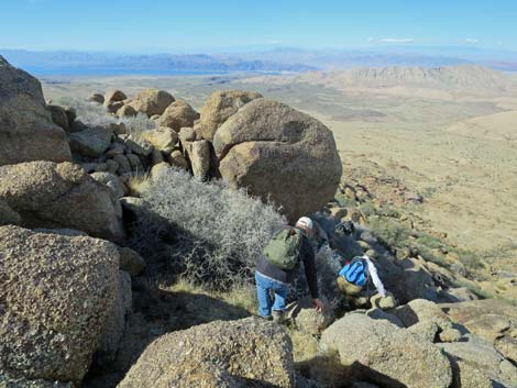
At the top of the quartz vein, there are many possible routes. Perhaps the easiest aims up and a bit left to run underneath a very large, overhanging boulder visible on the skyline. After cresting out adjacent to the overhanging boulder, the summit block (Wpt. 05) lies only a few yards away. Views from the summit are surprisingly grand for such a low mountain. To the west are Las Vegas and the Spring Mountain Range. To the north are Lime Ridge, Tramp Ridge, and Virgin Peak, also the Mormon Mountains and the Pine Valley Mountains above St. George, Utah. To the east lies Mica Peak and beyond are the Grand Wash Cliffs in Arizona. To the south are granite domes, Jumbo and Bonelli Peaks, and in the distance mountains in Arizona. When ready, follow your footprints back to the trailhead. |
 Road switchbacks right ... |
 ... with nice view of Mica Peak (view E) |
 Road switchbacks right |
 Road switchbacks left |
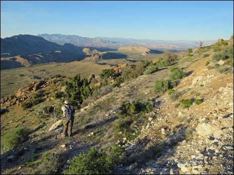
 Getting pretty high (view S) |
 A bit of not-so-steep road (view N) |
 Steep switchback (view NW) |
 Grand view north |
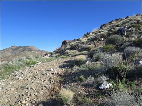
 Steep approach to mining area (view W) |
 Old road runs over low saddle (view W) |
 Past saddle, old road drops into upper mining area (view W) |
 Upper mine (no mine opening; view S) |
 Steep dirt slope just past mine area (view S) |
 Steep hillside above mine area (view S) |
 End of the quartz dike at left (view SE) |
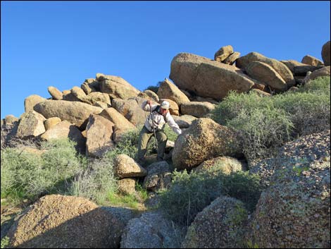
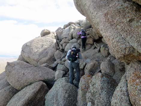
 Hikers aiming for overhanging boulder on ridgeline (view SE) |
 Hiker nearing ridgeline (view SE) |
 Arriving at the summit from beneath overhanging boulder (view SE) |
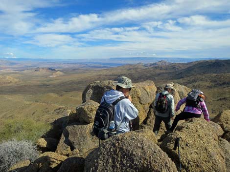 Hikers arriving at the summit (view E) |
 Hiker on summit (view W into late afternoon sun) |
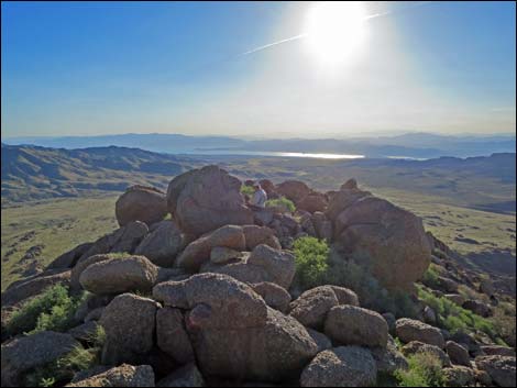
Summit and Summit Views
 Summit Register |
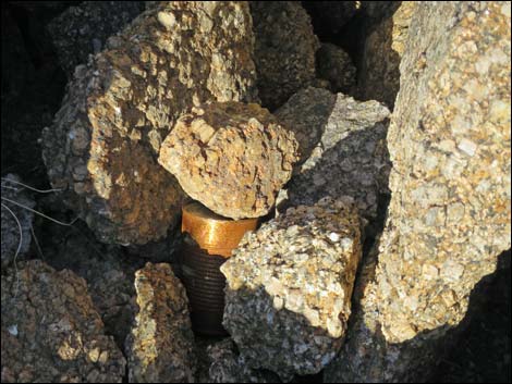 Summit Register |
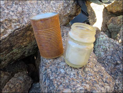 Summit Register |
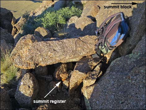
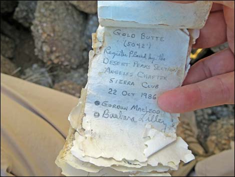 Summit Register placed by MacLeod and Lilley |
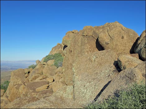 Summit area (view NE) |
 Summit area (view E) |
 Summit area (view NE) |
 Summit area (view NE) |
 |
 |
 Summit (view E to Mica Peak and granite domes) |
 Summit (view E to Mica Peak) |
 Summit (view E to granite domes) |
 Summit (view S to Jumbo Peak and Bonelli Peak) |
 Summit (view NW to Lime Canyon) |
 Summit (view N to Tramp Ridge and Virgin Peak) |
 Summit (view NW and down to Granite Spring camp area) |
 Summit (view N and down to Trailhead 2) |
Mine Site
 Returning to Upper Mine (view SE) |
 Upper Mine (view NE and down to Lower Mine) |
 Lower Mine (view SW and up to Upper Mine) |
 Lower Mine (view S) |
 Large quartz vein (view S; hiking poles for scale) |
 Mica embedded in the quartz |
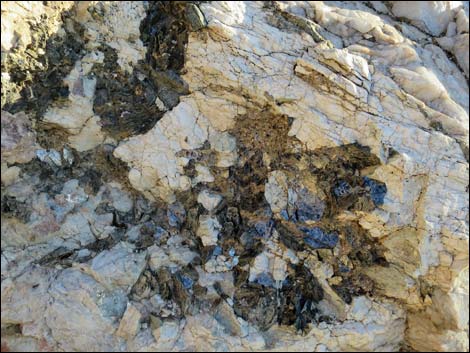 Mica embedded in the quartz |
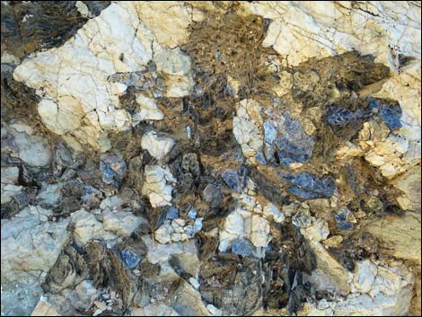 Mica embedded in the quartz |
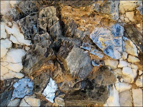 Large mica crystals in the quartz |
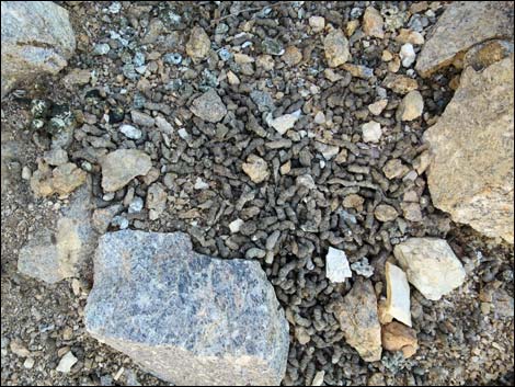 One of several huge piles of Chukar scat |
 Hiker anticipating an evening hike back down (view NW) |
 Hiker anticipating an evening hike back down (view NE) |
The Descent
 Hikers descending towards the overhanging boulder (view NW) |
 Hikers descending under the overhanging boulder (view NW) |
 Hikers descending towards the old mine site (view N) |
 The old road just below the mine site (view NE) |
 Hiker descending the old road (view N) |
 Hiker descending the old road (view W) |
 Hiker descending the old road (view N) |
 Hiker on old road below the 4WD trailhead (view N) |
 Crossing over the ridge (not a shortcut for time; view N) |
 Crossing over the ridge (not a shortcut for time; view N) |
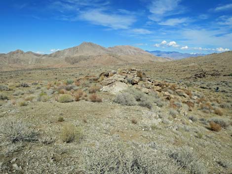
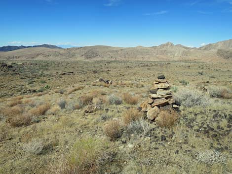 Mining claim cairn on the ridgeline (view NW) |
 More to come ... |
Table 1. Hiking Coordinates and Distances based on GPS Data (NAD27; UTM Zone 11S). Download hiking GPS waypoints (gpx) file.
| Wpt. | Location | UTM Easting | UTM Northing | Elevation (ft) | Point-to-Point Distance (mi) | Cumulative Distance (mi) | Verified |
|---|---|---|---|---|---|---|---|
| 01 | Gold Butte Peak Trailhead | 753090 | 4018318 | 4,096 | 0.00 | 0.00 | GPS |
| 02 | Old Road at Saddle | 752931 | 4017819 | 4,849 | 0.73 | 0.73 | GPS |
| 03 | Lower Mine Site | 752913 | 4017828 | 4,819 | . | . | GPS |
| 04 | Upper Mine Site | 752909 | 4017807 | 4,846 | 0.02 | 0.75 | GPS |
| 05 | Gold Butte Peak Summit | 752955 | 4017738 | 4,992 | 0.08 | 0.83 | GPS |
| 01 | Gold Butte Peak Trailhead | 753090 | 4018318 | 4,096 | 0.83 | 1.66 | GPS |
Happy Hiking! All distances, elevations, and other facts are approximate.
![]() ; Last updated 240325
; Last updated 240325
| Hiking Around Gold Butte | Hiking Around Las Vegas | Glossary | Copyright, Conditions, Disclaimer | Home |