Hiking Around Las Vegas, Gold Butte National Monument
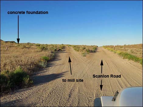 Scanlon Road at turnoff to the mill site (view SW) |
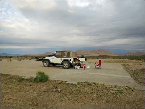
Overview The Gold Butte Mill Campsite, part of the Gold Butte Townsite, is a fairly popular undeveloped campsite on desert flats below the boulder strewn Gold Butte Peak, which was the original center of mining activity in the region with a town of some 2,000 souls. The Gold Crown Mine and Mill were active in the 1970s, but the origin of any ore processed here is unknown. There is no water, and there are no toilets, no trash cans, and no picnic tables. Bring what you need and take it home when you leave. There is truck parking a couple of miles west on Interstate-15 where campers can dump trash without taking it back to Las Vegas. This campsite is located on and adjacent to the flat, concrete pad of an historic mill. All of the equipment is gone, but the campsite is suitable for two or three large trailers and RVs. The concrete here is sturdier than the concrete at the Gold Butte Townsite, and this concrete is strong enough to tolerate heavy vehicles and makes for a nice, clean campsite. Link to map. |
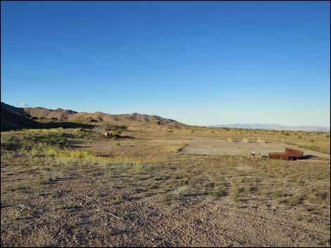 Mill site and flat areas for camping (view W) |
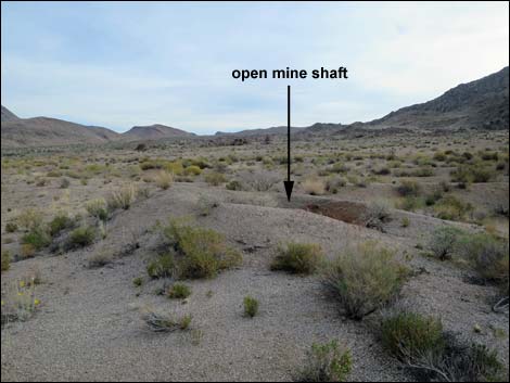
Watch Out Other than the standard warnings about hiking in the desert, ... there is an open, unmarked mine shaft about 50 yards northeast of the concrete pad. The shaft is surrounded by a low, earthen berm, but be careful in that area. This is a wild and remote area without services of any kind (no restrooms, no water, no gas, no food). Bring what you need to survive. Be prepared and be self-reliant. Someone will find you eventually if you stay on a main road, but be prepared to survive alone for a day or two. Cell phones only work along parts of the paved road. While visiting the Townsite area, please respect the land and the other people out there, and try to Leave No Trace of your passage. Also, this is a remote area, so be sure to bring the 10 Essentials, even if you leave them in the car. Be sure to bring trash bags to clean up after people who care less about wild places than you do. |
 |
Getting to the Gold Butte Mill Campsite Gold Butte Townsite is located out in Gold Butte National Monument at the northeast end of Lake Mead, about 3 hours northeast of Las Vegas in a wild, remote, and scenic area. From town, drive out to Gold Butte National Monument, and then down the paved Gold Butte Road for 21 miles to Whitney Pocket where the pavement ends. Continue south on the scenic unpaved Gold Butte Road for 19.8 miles to a cattle guard that marks entry into the Townsite area. About 0.4 miles past the cattle guard, Gold Butte Townsite East Road forks left into the Townsite area (proper) and Red Bluff Spring Road branches to the right a few yards ahead. Continue straight onto Scanlon Road. About 0.6 miles past the Townsite, the road forks (Site 1704). Scanlon Road stays straight (right), while a lesser road angles left and runs up to the old concrete foundation (Site 1769). This side road is about 0.2-miles-long and loops back to intersect Scanlon Road again. |
 |
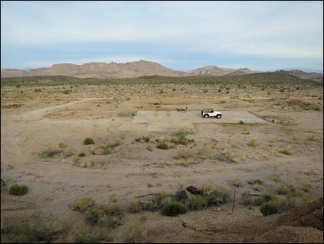
Gold Butte Mill Campsite Nestled up against Gold Butte Peak, the Townsite camps provide grand views out across the desert. From the main open area, sunset views are big and grand, while from the other sites, sunset brings relief from afternoon heat as the sun sinks behind the rocky outcrops and ridges. This area also is a good kick-off point for ATVs following some of the 500 miles of open road in Gold Butte National Monument. Rough roads run throughout the townsite area and lead west and south, looping into Cedar Basin. There is a fair bit of historic mining equipment scattered around the Gold Butte Townsite area. These items, even the large ones, seem to be disappearing, so be careful with what you clean up and don't remove items of historic interest. |
 Campsite at dawn on a stormy day (view NW) |
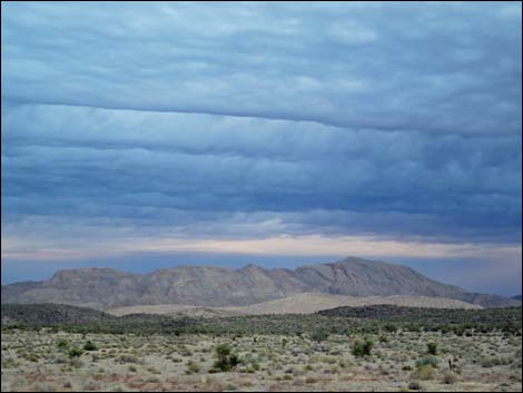 Dawn on a stormy day (view NW to Lime Ridge) |
 |
 |
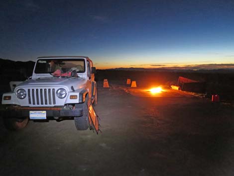 Sunset colors and campfire (view W) |
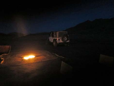 Campfire (view E) |
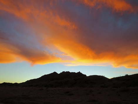 Sunrise colors (view E) |
 Sunrise colors (view E) |
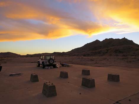
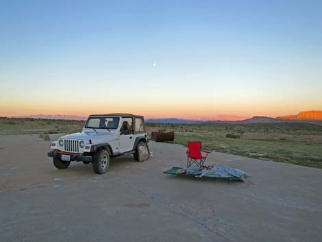
 Sunrise colors over my typical camp setup (view W) |
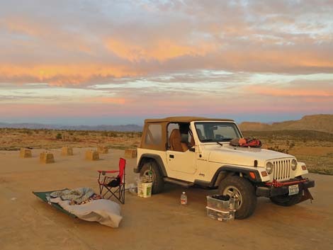
 Sunrise colors on a bright, sunny morning (view W) |
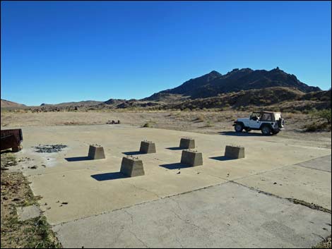 Mill site foundation (view SE) |
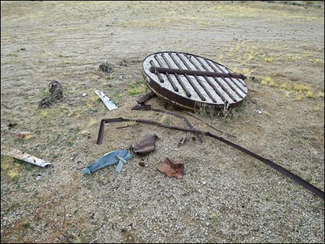 Mining equipment debris (view SW) |
 Open mine shaft (now fenced; view NE) |
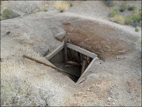 This mine shaft is now fenced |
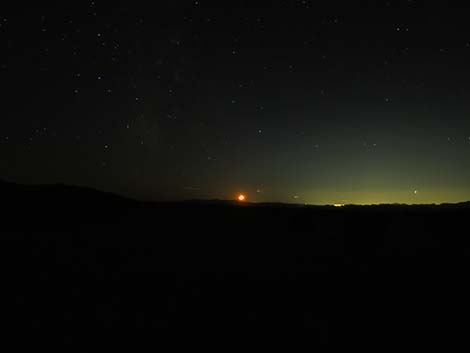 Moonset over Las Vegas (view W) |
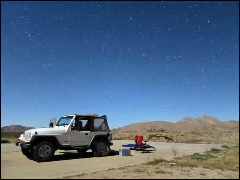
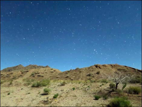
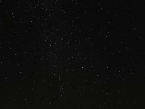 Starry night (view E) |
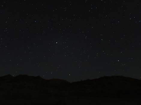 Jupiter at maximum brightness (view S) |
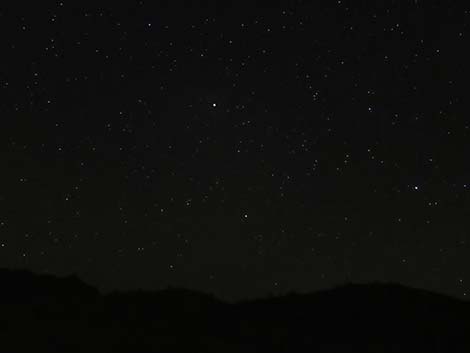 Jupiter at maximum brightness (view S) |
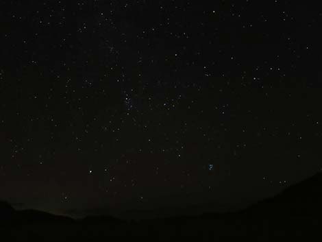 Starry night (view E) |
 More to come ... |
Table 1. Highway Coordinates Based on GPS Data (NAD27; UTM Zone 11S). Download Highway GPS Waypoints (*.gpx) file.
| Site | Location | UTM Easting | UTM Northing | Latitude (N) | Longitude (W) | Elevation (ft) |
|---|---|---|---|---|---|---|
| 1704 | Scanlon Rd at Mill Site Rd E | 750767 | 4017873 | 36.27507 | 114.20832 | 3,694 |
| 1769 | Gold Butte Mill Site | 750670 | 4017712 | 36.27364 | 114.20945 | 3,776 |
Happy Hiking! All distances, elevations, and other facts are approximate.
![]() ; Last updated 240325
; Last updated 240325
| Camping | Hiking Around Gold Butte | Hiking Around Las Vegas | Glossary | Copyright, Conditions, Disclaimer | Home |