Hiking Around Las Vegas, Grand Canyon National Park
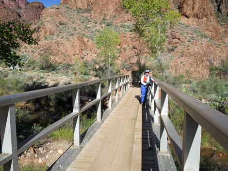 Hiker on bridge over Bright Angel Creek (view N) Hiker on bridge over Bright Angel Creek (view N) |
Overview Hikers seeking an inner-canyon experience with unparalleled panoramic ridgeline views should consider the South Kaibab Trail. But the exhilarating sense of inner-canyon vastness comes at a cost: there is little shade and no water. The South Kaibab Trail climbs 7-miles from Phantom Ranch at the bottom of the Grand Canyon to the South Rim near Yaki Point. This trail is steep and airy. Presented here are photos of the lower section of trail as seen when hiking out. For a complete description of the trail starting from the South Rim, including GPS coordinates, see South Kaibab Trail -- Downhill. Link to map. |
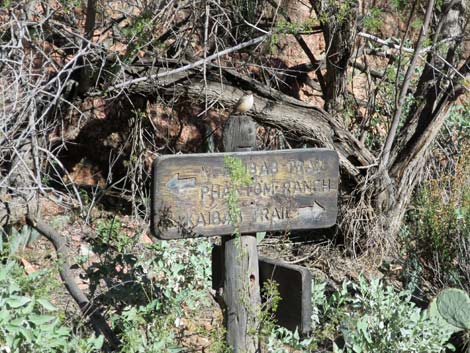 Sign near Bright Angel Creek bridge (view E) |
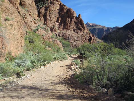 South Kaibab Trail departing Bright Angel Creek (view E) |
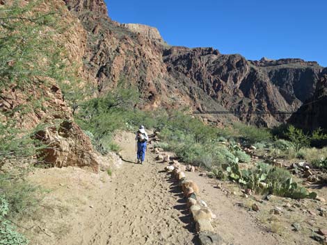
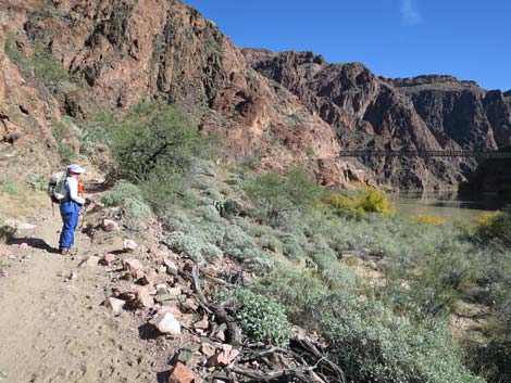
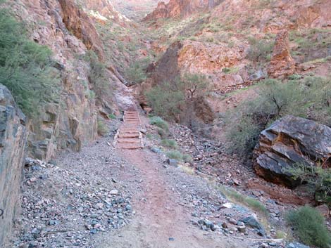
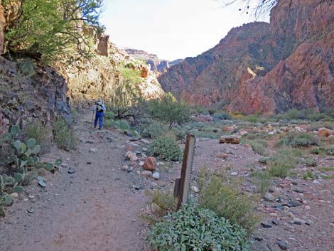 Trail follows cliffs above Bright Angel Creek (view E) |
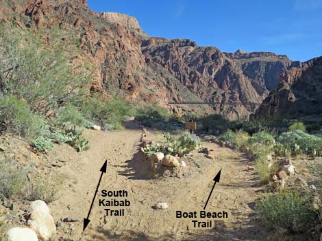 South Kaibab Trail at Boat Beach Trail (view NE) |
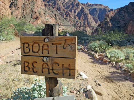 Boat Beach Trail sign (view NE) |
 Trail continues hugging the cliffs (view NE) |
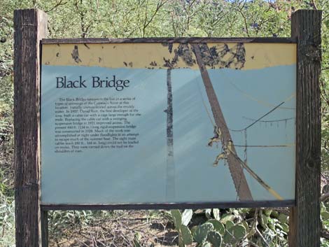 Information about building the Black Suspension Bridge (view S) |
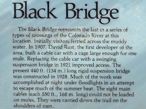 Information about the Black Suspension Bridge (view S) |
 Trail heading towards Black Bridge (view NE) |
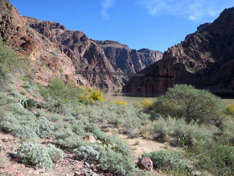 Grand scenery and the Black Bridge (view NE) |
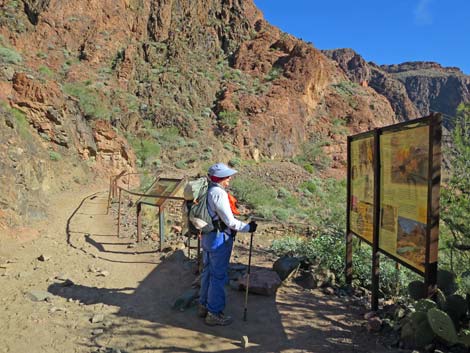 Information sign about Bright Angel Pueblo (view NE) |
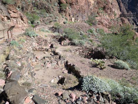 Ruins of Bright Angel Pueblo (view NE) |
 Hiker approaching the Black Bridge (view E) |
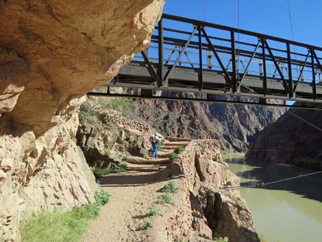 Hiker passing under the Black Bridge (view E) |
 Gaging station east of the Black Bridge (view E) |
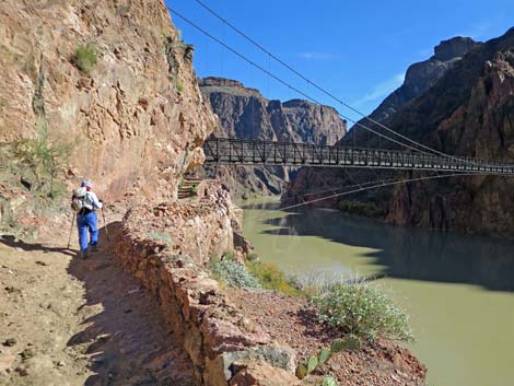
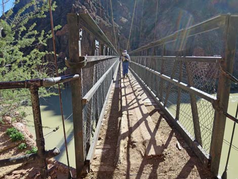 Hiker starting across Black Bridge (view SE) |
 Hiker in middle of Black Bridge (view SE) |
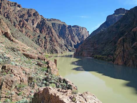
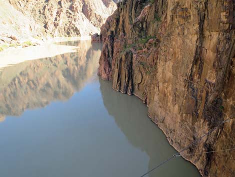 Colorado River and cliffs (view E from middle of Black Bridge) |
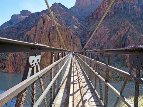
 Hiker at end of Black Bridge (view SE) |
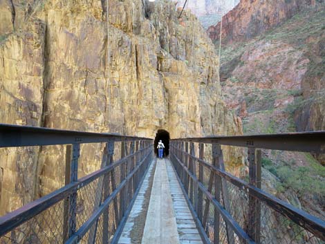
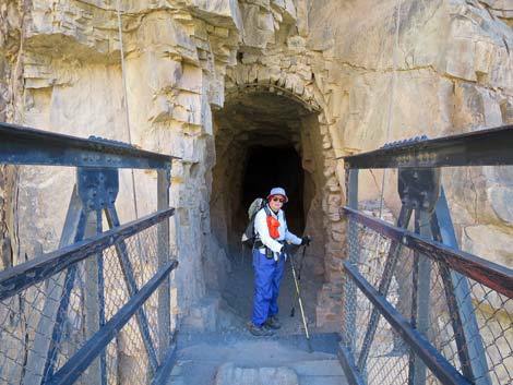 Hiker entering Black Bridge Tunnel (view SE) |
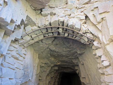 Black Bridge Tunnel architecture (view SE) |
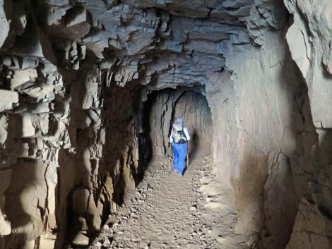 Hiker at bend inside Black Bridge Tunnel (view SE) |
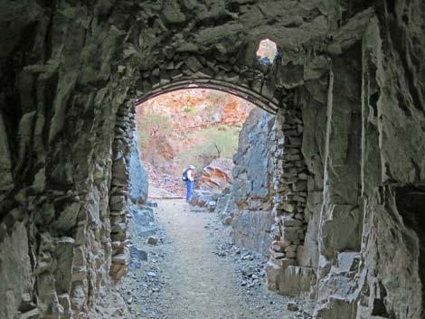 Hiker beyond Black Bridge Tunnel (view S) |
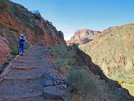
 South Kaibab Trail beginning steep ascent of Inner Gorge (view S) |
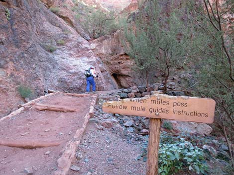 When mules pass, follow wrangler's instructions (view S) |
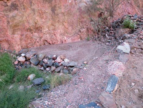 Erosion control along the trail (view SW) |
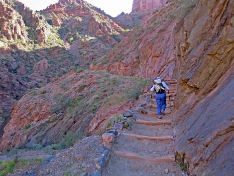 Steep steps on South Kaibab Trail (view SE) |
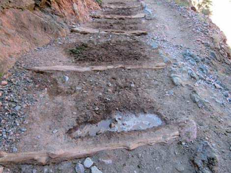 Disgusting pools of mule urine (view NW) |
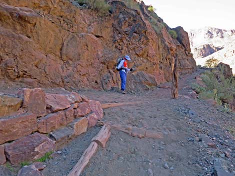
 Hiker approaching River Trail junction (view NW) |
 Hiker at South Kaibab Trail -River Trail junction (view NW) |
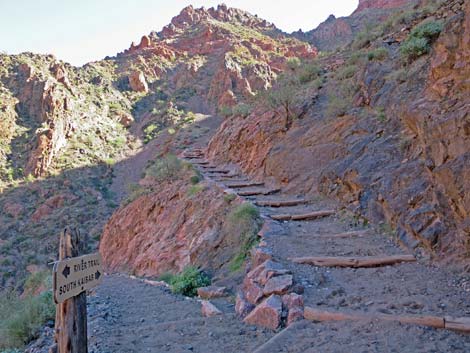 South Kaibab Trail -River Trail junction (view SE) |
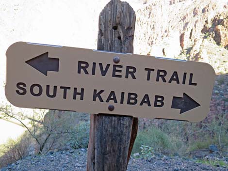 Sign at South Kaibab Trail -River Trail junction (view NE) |
Happy Hiking! All distances, elevations, and other facts are approximate.
![]() ; Last updated 240326
; Last updated 240326
| Hiking the Grand Canyon | Hiking Around Las Vegas | Glossary | Copyright, Conditions, Disclaimer | Home |