Backroads Around Las Vegas, Desert National Wildlife Refuge
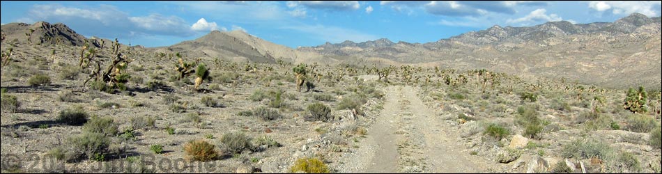
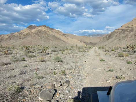
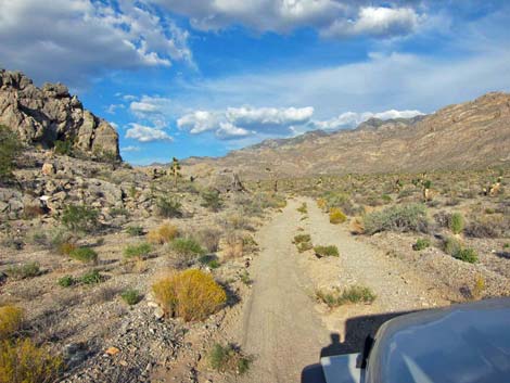
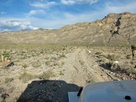
 Alamo Road approaching Cow Camp Road (view N) |
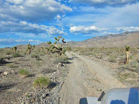
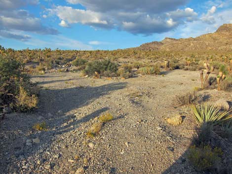
Overview Cow Camp Road is a side road off Alamo Road that runs from low elevation desert flats up to the west edge of the Sheep Range. The road provides sightseeing and camping opportunities, plus hiker access to Cow Camp Spring, Wagon Canyon, Picture Canyon, and several other destinations. The road once was graded, but it has not been maintained in years, so it is getting rough, and storms during 2012 contributed to the washout problems. While bumpy, the road seems to get better farther out, and it is fine for 2WD-HC vehicles in good weather. The road runs in the sandy wash through a gap in the Black Hills, and the road-base is firm enough. Link to map. |
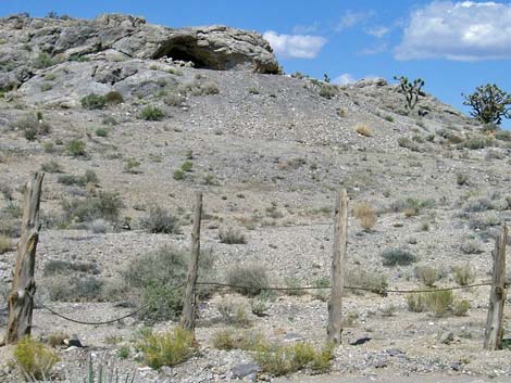
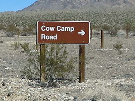 Cow Camp Road sign (view NE from Alamo Road) |
The main road ends at the edge of a sandy wash high on the bajada beneath the Sheep Range. Beyond the sandy wash, the old road serves as a trail that continues to the edge of the mountains, which seem to jump out of the ground in this area. A side road leads to an old corral below a pour-over at the base of the mountains. This is a nice road for a drive in the desert or an easy way to get away from town to camp out in the desert, but it is wild and remote country. For general information on camping, hiking, regulations, other issues, and the natural history of the Wildlife Refuge, see the Desert National Wildlife Refuge -- Area Overview page. |
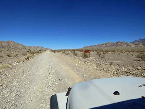
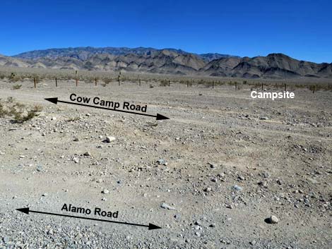
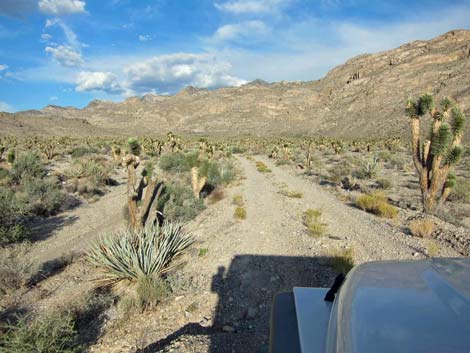
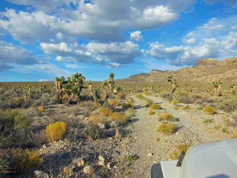
 Alamo Road at Cow Camp Road (view N) |
Watch Out Other than the standard warnings about the desert ... Cow Camp Road generally is a good dirt road, but it runs out into wild and remote country. There are no services or developments of any kind. Cell phones might work, but don't count on it. Bring water and food, a good spare tire, a shovel, tools, a tow rope, bailing wire (I learned the hard way) and anything else that you might need to survive a night stuck out in the desert. While out there, please respect the land and the other people out there, and try to Leave No Trace of your passage. Also, this road leads to remote country, so be sure to bring the 10 Essentials. This is a wildlife refuge, so pay extra attention to respecting the land. |
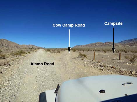
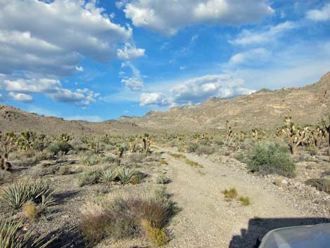
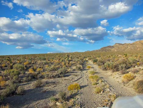
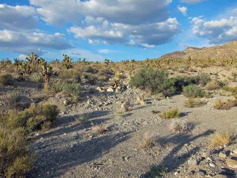
 Cow Camp Road and campsite (view E from Alamo Road) |
Location Cow Camp Road is located on the Desert National Wildlife Refuge and starts about 1-1/4 hours northwest of Las Vegas. To get there, drive out to the Information Kiosk (Table 1, Site 0106) at Corn Creek Field Station. Continue east on Corn Creek Road for about 100 yards to a T-intersection with a large directional sign (Site 0731). Turn left onto Alamo Road and drive north for 8.7 miles to the signed intersection with Cow Camp Road (Site 0992). Note that the directional sign incorrectly states that the distance to Cow Camp Road is 12 miles. For details of Alamo Road, including road conditions, see Alamo Road. |
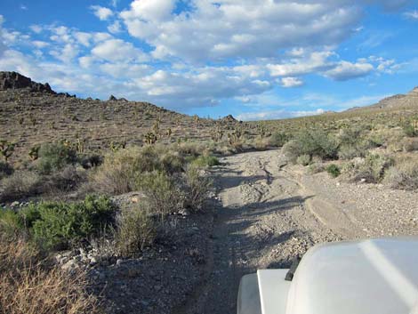
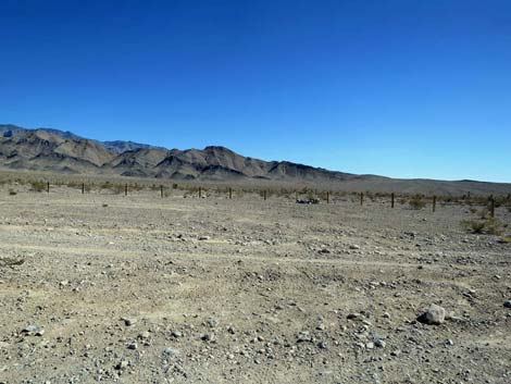 Cow Camp Road and campsite (view SE from Alamo Road) |
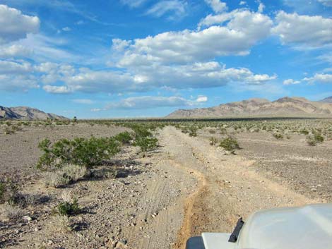
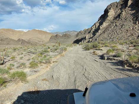
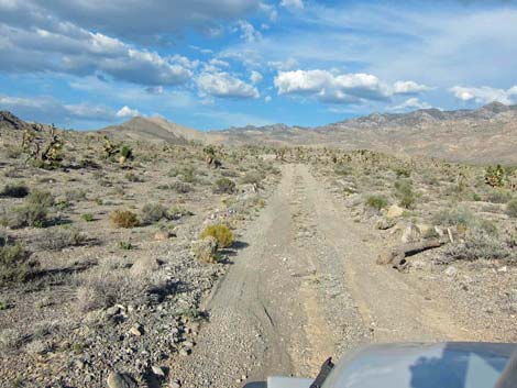
The Road Cow Camp Road (Site 0992) departs from Alamo Road at the large Cow Camp Campsite, a flat area set off by post-and-cable fencing. A symbol sign translates to "no fires," but an old and well used campfire ring marks the campsite. From Alamo Road, Cow Camp Road runs northeast towards a gap in the Black Hills and then on towards the Sheep Range. The road crosses a sandy wash about 0.23 miles out, then climbs gentle slopes to the northeast. Vegetation in this area is sparse and stunted compared to other areas. Storms coming from the west drop their moisture in the Spring Mountains, leaving little to fall in this area and creating a "rain shadow." The road climbs gently until entering the gap in the Black Hills (2.1 miles out). Here, the road hugs the south edge of the hills until forced into the wash. Drivers in 2WD vehicles should evaluate this area carefully before driving into potentially soft sand, although the wash historically has been firm enough for 2WD vehicles. |
 Beginning of Cow Camp Road |
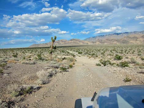
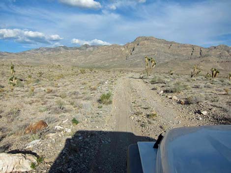
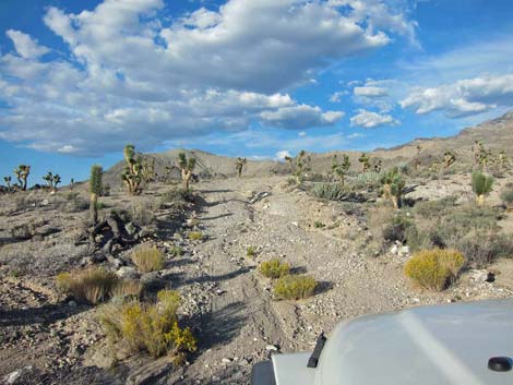
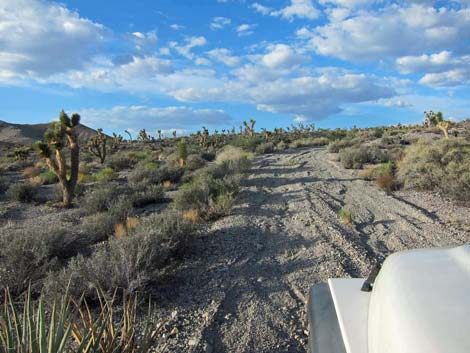
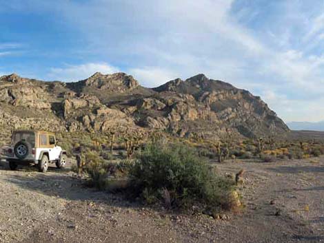
In the gap, several sets of well casings protrude from the soil. I don't know the history or significance of these wells. Past the Black Hills (3.2 miles out), the road leaves the wash heading northeast and continues climbing the bajada. Here the grade is steeper, but still fairly gentle. Eventually two hills come into view, and as the road runs between them, a large, fairly level, smooth area set off by post-and-cable fencing can be seen on the left (Site 1339; 4.4 miles out). On the rocky knob above the campsite, a Native American rock shelter and agave roasting pits can be seen; hence, I refer to this campsite as Rock Shelter Camp. This is also trailhead parking for Picture Canyon. Cow Camp Road continues up the bajada where the vegetation is now more dense and robust, the result of better moisture conditions relative to lower elevations. The road passes the toe of a ridge on the left and shortly arrives at a fork (Site 0993; 5.2 miles out). |
 Approaching a wash (0.2 miles out) |
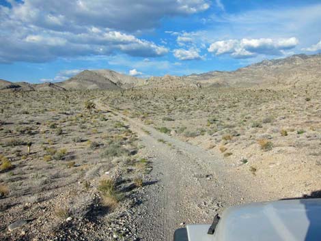
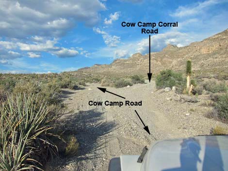
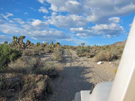
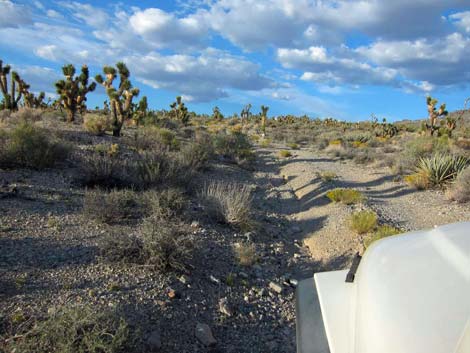
Cow Camp Road continues somewhat more steeply to the left and climbs onto a high plain thick with shrubs including Blackbrush and Joshua Trees, forming a vegetation association typical of these higher-elevation Mojave Desert slopes. The road ends at a turn-about on the edge of a sandy wash (Site 1340; 6.0 miles out). This is the trailhead for Wagon Canyon, but there is no defined parking or camping space, so drivers will have to park in the road or in the bushes. From the fork in the road (Site 0933), the right fork, Cow Camp Corral Road, runs another 0.6 miles into a short box canyon that ends at the base of a pour-over with an historical corral and camp area. This is the trailhead for Cow Camp Spring. For details and photos, see Cow Camp Corral Road or Cow Camp Spring Hike. |
 |
 |
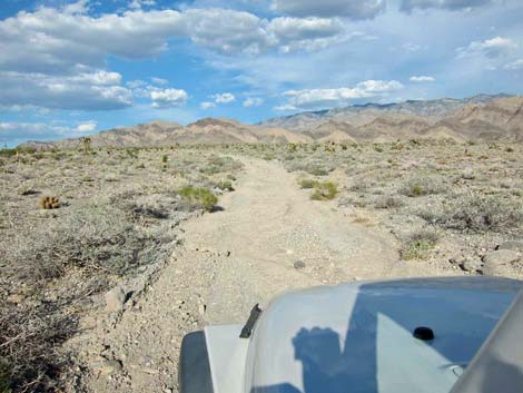
 Black Hills ahead |
 Black Hills ahead |
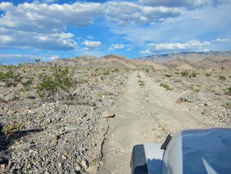
 Gap in the Black Hills |
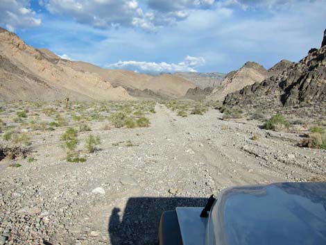 Entering the gap in the Black Hills |
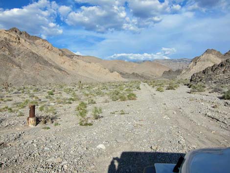 One of several well casings in the wash |
 Road on south side of the gap |
 Crossing the wash |
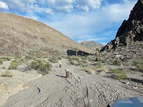 Two well casings in the wash |
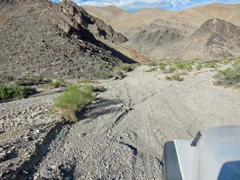
 Road runs in the wash |
 Road runs in the wash |
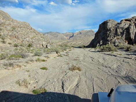
 Past the gap, the road still runs in the wash |
 Finally out of the wash and on firm ground |
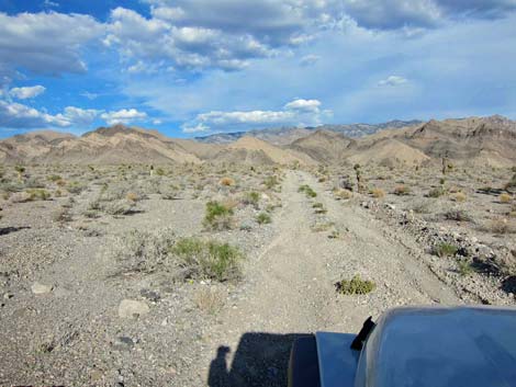
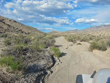
 Climbing the bajada |
 Climbing the bajada |
 Climbing the bajada |
 Passing rocky knob on the left |
 Fence protecting rock shelter site |
 Approaching Rock Shelter Campsite |
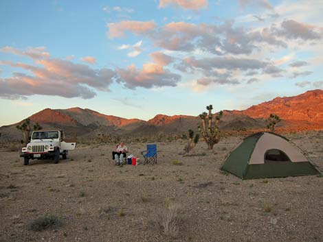 Happy campers at Rock Shelter Campsite |
 Happy campers at Rock Shelter Campsite |
 Road continuing above campsite |
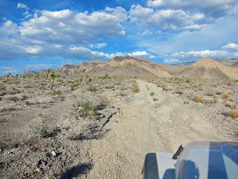
 Climbing the bajada |
 Climbing the bajada |
 Notice the thick vegetation |
 Fork in the road (Site 0993) |
 Fairly steep hillside |
 Still fairly steep hillside |
 Still fairly steep hillside |
 Road leveling out on broad plain |
 Lots of Joshua Tree and Blackbrush |
 Turn-about at the end of the road |
 Turn-about at the end of the road |
 Sandy wash and closed road beyond the turn-about |
 More to come ... |
Table 1. Highway Coordinates Based in GPS Data (NAD27; UTM Zone 11S). Download Highway GPS Waypoints (*.gpx) file.
| Site | Location | UTM Easting | UTM Northing | Latitude (N) | Longitude (W) | Elevation (ft) | Verified |
|---|---|---|---|---|---|---|---|
| 0106 | Corn Creek parking area | 647225 | 4033632 | 36.43844 | 115.35745 | 2,814 | Yes |
| 0731 | Corn Creek Rd at Mormon-Alamo Rd | 647307 | 4033624 | 36.43836 | 115.35654 | 2,814 | Yes |
| 0992 | Alamo Rd at Cow Camp Rd | 643589 | 4046289 | 36.55306 | 115.39564 | 3,547 | Yes |
| 0993 | Cow Camp Rd at Fork | 650517 | 4049638 | 36.58217 | 115.31761 | 5,128 | Yes |
| 0994 | Cow Camp Corral Parking | 651250 | 4049944 | 36.58481 | 115.30937 | 5,239 | Yes |
| 1339 | Rock Shelter Camp | 649381 | 4049292 | 36.57923 | 115.33038 | 4,814 | GPS |
| 1340 | Cow Camp North Fork End | 651215 | 4050587 | 36.59062 | 115.30963 | 5,412 | GPS |
Happy Hiking! All distances, elevations, and other facts are approximate.
![]() ; Last updated 240324
; Last updated 240324
| Backroads Around DNWR | Hiking Around Las Vegas | Glossary | Copyright, Conditions, Disclaimer | Home |