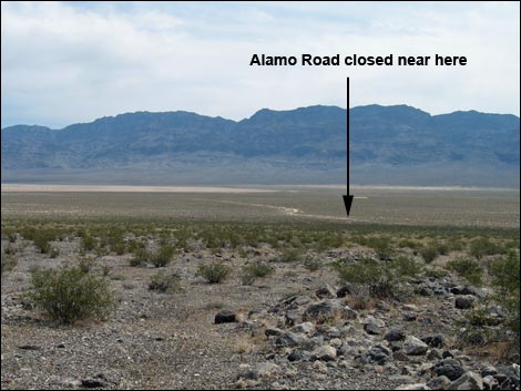
Backroads Around Las Vegas, Desert National Wildlife Refuge
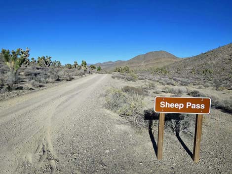 Alamo Road continuing past Sheep Pass (view NE) |
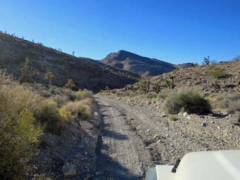
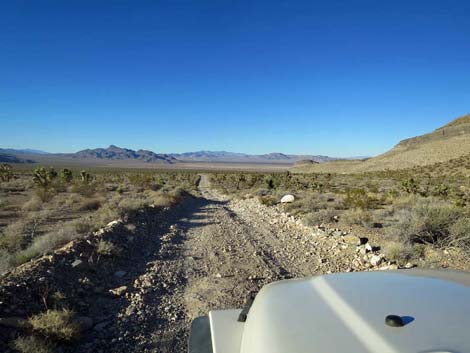
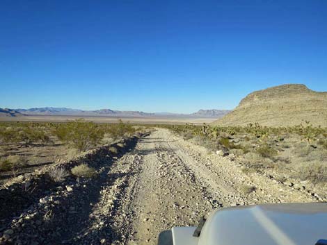
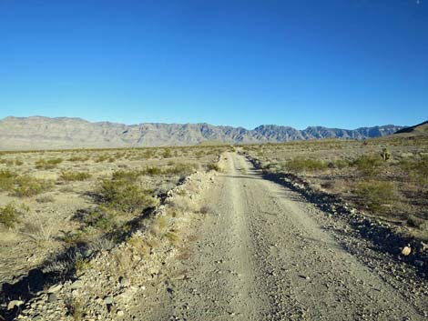
The Road -- Sheep Pass to Cabin Canyon Road From Sheep Pass, Alamo Road heads north 8 miles to Desert Dry Lake and then east 2 miles to an intersection with Cabin Canyon Road for a total of 39.6 miles from Corn Creek. This part of the road is graded from time to time and usually is suitable for high-clearance vehicles. After storms, however, the road can be badly washed out from the many little washes that cross the road, and rills across the road can sneak up and threaten to break axles of the unwary. Water flowing north from Sheep Pass flows down the roadbed and can wash the road out. This part of Alamo Road provides access to a narrow canyon, campsites, and grand scenery north across Desert Dry Lake Valley. Link to map. See Alamo Road for GPS coordinates. |
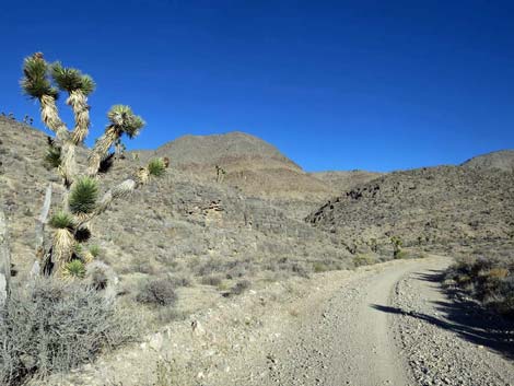
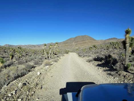 Alamo Road departing Sheep Pass (view NE) |
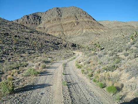
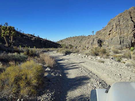
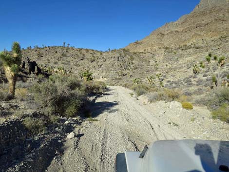
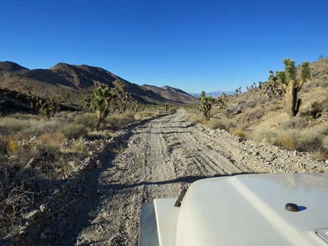
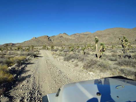
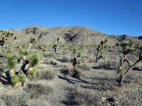
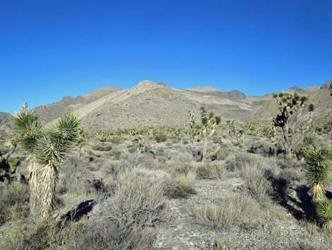
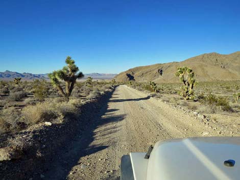
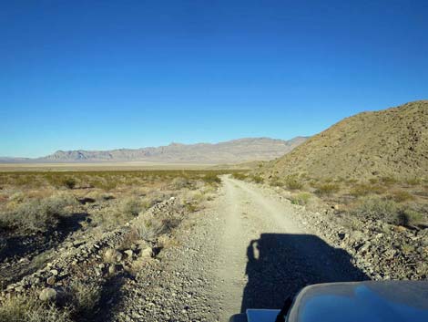
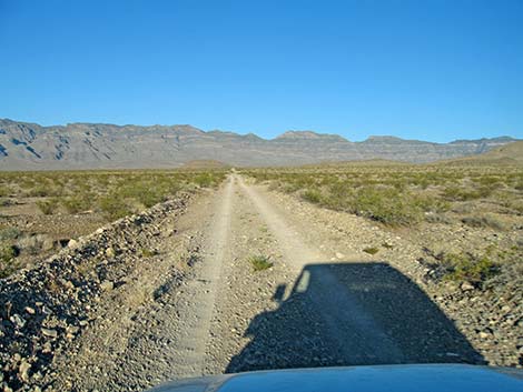
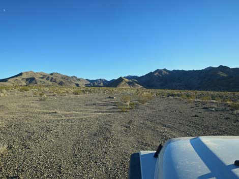
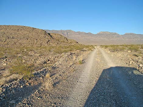
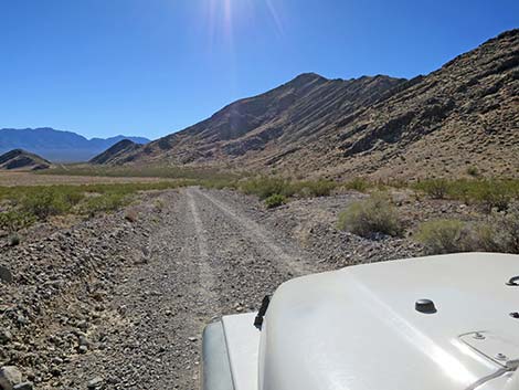
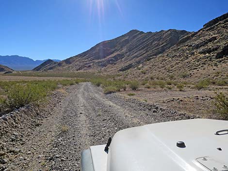
Alamo Road Descending over Sheep Pass, at about 0.6 miles out, Alamo Road starts down into a narrow, sometimes sandy canyon. The road curves right, then wraps around to the left, and then finally straightens to the right heading north again. Although short and sweet, this is the only narrows along Alamo Road and the only place where the road runs right down the wash. Because of this, the road in this area is unpredictable and can be fine or badly washed out. Water flows down the roadbed for some distance north of the narrows. Beyond the narrows, Alamo Road crosses from Clark County into Lincoln County and descends through the long and broad Sheep Pass Canyon. During the next 6 miles, the road becomes rocky and washed out, to include one section where, when driving southbound, I used 4WD to avoid spinning my tires and further tearing up the road. The canyon bottom is broad and flat, and the limestone cliffs of the Desert and East Desert ranges tower above. |
 Alamo Road descending past Sheep Pass (view NE) |
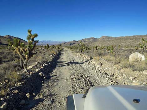
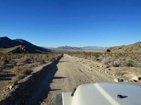
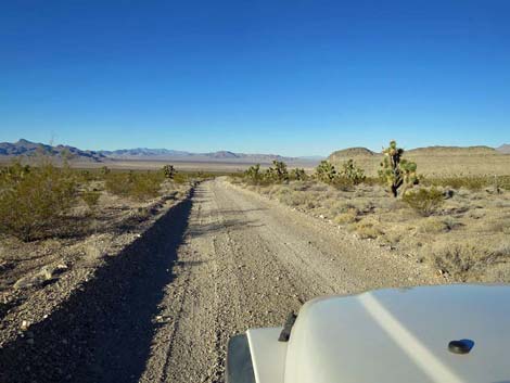
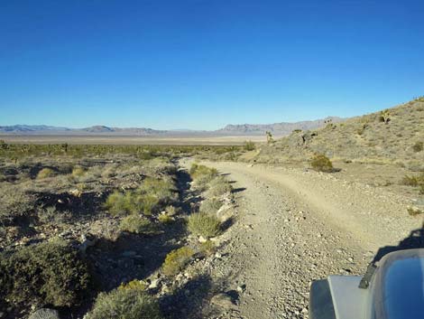
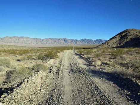
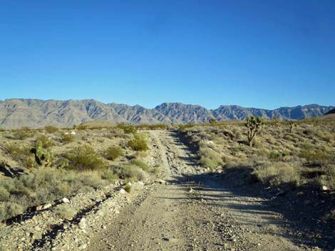
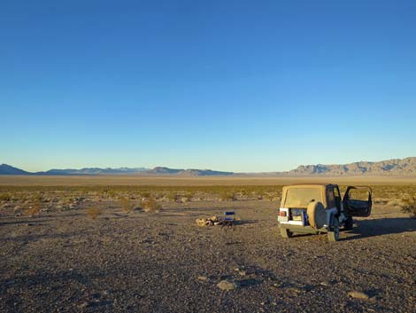
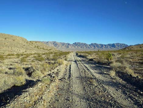
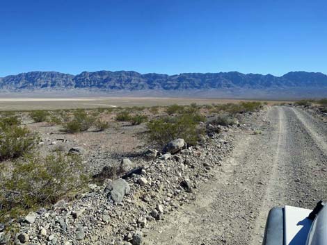
In the distance ahead, Desert Dry Lake playa comes into view, and eventually Alamo Road arrives at Desert Dry Lake Road (Site 0554; 36.4 miles), a service road to the left that is closed to the public. Now heading northeast, Alamo Road curves around a point of rock to run ESE as it climbs gradually across the bajada. This is the north edge of East Desert Range. Crossing a deep gully, Alamo Road arrives at Dry Lake Camp Spur Road (Site 0593; 38.4 miles), on the right. This spur road runs south about 40 yards to Dry Lake Camp (Site 0123). This undeveloped site provides a broad, starry sky and grand views north across the playa. Drive slowly and carefully here to preserve the desert pavement that makes this site so clean. |
 Alamo Road descending into a canyon (view NE) |
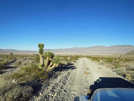
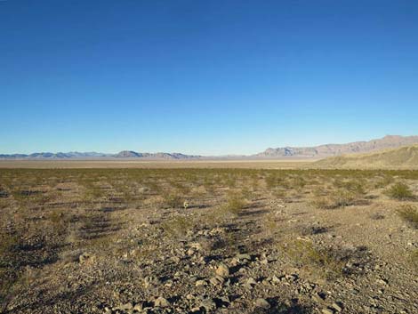
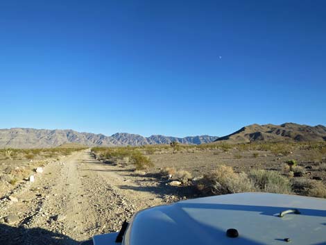
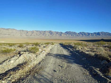
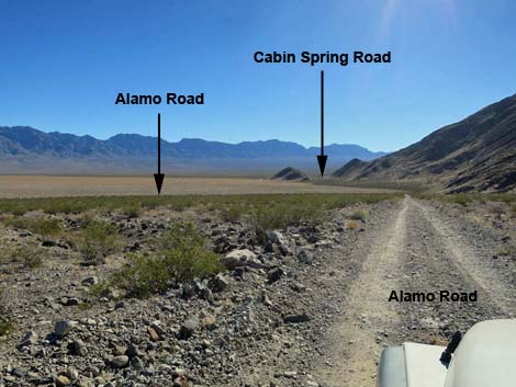
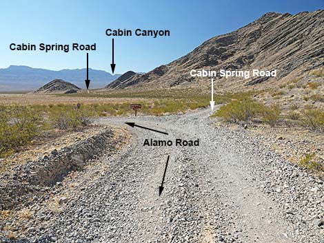
Alamo Road continues east-southeast to a low saddle between the East Desert Range on the right and a rocky knob (about 39 miles out) on the left. From the saddle, the road curves more to the south, and roads ahead can be seen in the distance. To the southeast, Cabin Spring Road runs over a low hill and disappears into the distance; to the northeast, Alamo Road runs out across Desert Dry Lake. For the first time, drivers can see where the road crosses the playa and the sand dunes beyond, giving a taste of what lies ahead. Continuing over the saddle, the road winds down along the side of the hills to pass an old corral (about 39.4 miles out). Not much is left, but these historical sites always are interesting. |
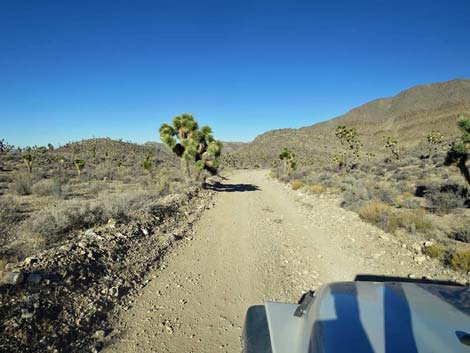
 Alamo Road starting into narrow canyon (view NE) |
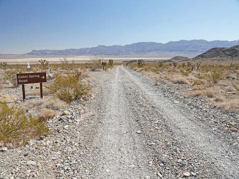
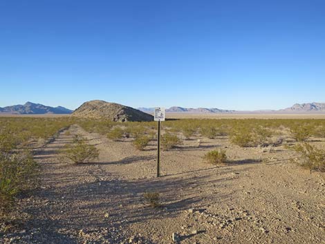
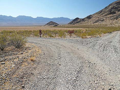
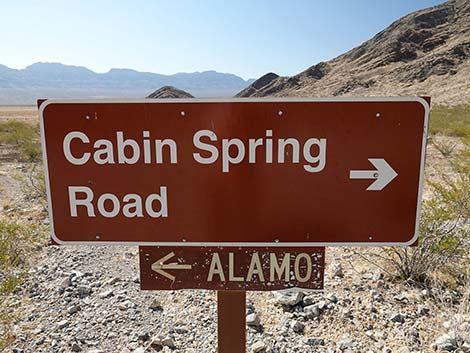
Just beyond the corral, Alamo Road forks (Site 0098; 39.5 miles). Alamo Road stays left, while Cabin Spring Road continues straight (right). Cabin Spring Road is a 2WD-HC or marginally 4WD road that runs southeast for about 9 miles to Cabin Spring (dry) with undeveloped campsites along the road and at the end. There is a nice campsite on a low bluff 5.2 miles out Cabin Spring Road, but beyond there, the last 3.6 miles get pretty rough. For people in 2WD vehicles, the intersection is a good place to turn around, or just for fun, Alamo Road runs northeast for another 0.5 miles to where signs formerly announced that the road was closed. Farther out, the road crosses the playa where every passing vehicle stirs up a bit more of the deep playa dust. The road was originally closed to keep people in 2WD vehicles from getting stuck in life-threatening conditions. Return to Alamo Road or continue to the next road segment. |
 Alamo Road winding down narrow canyon (view N) |
 Alamo Road winding down narrow canyon (view NE) |
 Alamo Road winding down narrow canyon (view NW) |
 Alamo Road exiting narrow canyon (view N) |
 Grand scenery (view N) |
 Alamo Road with first views of Desert Dry Lake (view N) |
 Alamo Road (view N) |
 Alamo Road (view NE) |
 Grand scenery (view SE) |
 Grand scenery (view E) |
 Alamo Road (view NW) |
 Alamo Road (view NE) |
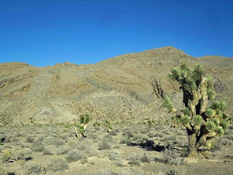 Grand scenery; bulls-eye formation on hillside (view E) |
 Alamo Road (view N) |
 Alamo Road (view N) |
 Alamo Road (view N towards Desert Dry Lake) |
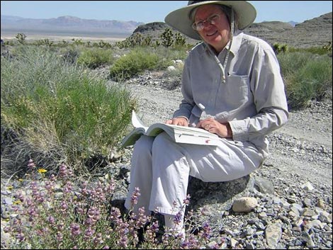 Flowers can be good out near Desert Dry Lake |
 Alamo Road approaching bend to the right at outcrop (view NE) |
 Alamo Road (view NE) |
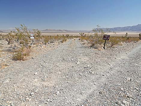
 Alamo Road approaching Dry Lake Road (view NE) |
 Alamo Road at directional sign (view NE) |
 Directional sign: Alamo Road continues straight (view NE) |
 Alamo Road at Dry Lake Road (view NE) |
 Dry Lake Road (view NE from Alamo Road) |
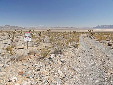 Warning sign on Dry Lake Road (view N) |
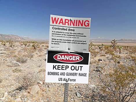 Keep Out: Dry Lake Road crosses a bombing range (view N) |
 Dry Lake Road: don't cross the bombing range (view N) |
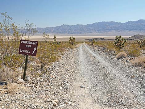 Directional sign: Alamo Road continues straight (view NE) |
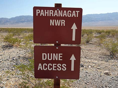
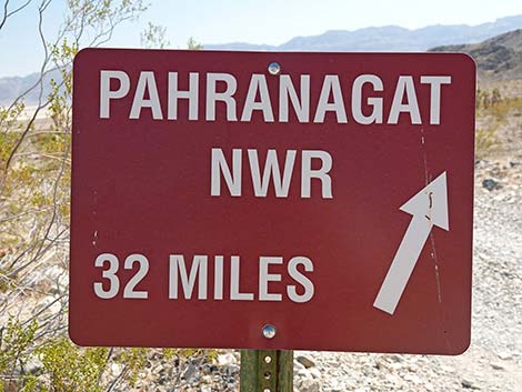 Stay on main Alamo Road towards Pahranagat NWR (view NE) |
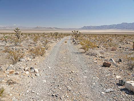
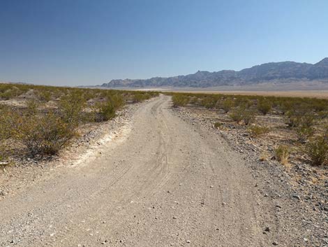
 Alamo Rd descending desert flats towards Desert Dry Lake (view NE) |
 Desert Dry Lake in the middle distance (view NE) |
 Alamo Road (view NE) |
 Alamo Road (view E) |
 Grand scenery (view N across Desert Dry Lake Valley) |
 Sign: old closed road leads to bombing range (view N) |
 Alamo Road (view SE) |
 Alamo Road (view E) |
 Alamo Road crossing deepest ravine in several miles (view E) |
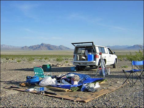
 Alamo Rd at Dry Lake camp (view E; 37.9 miles N of Corn Creek) |
 Dry Lake campsite (view S from Alamo Road) |
 Golden-hour lighting (view N) |
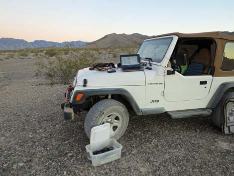 Office in the desert |
 Golden-Hour lighting (view S) |
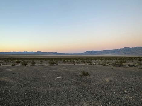 Dusk lighting (view N) |
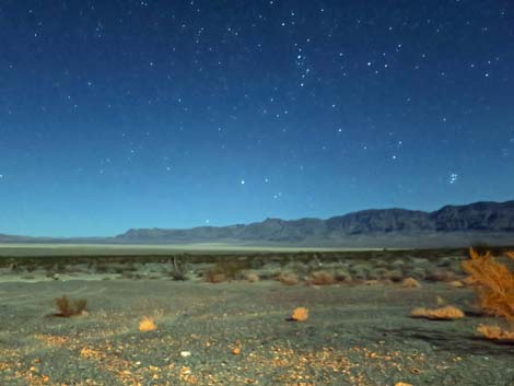 The desert by campfire light (view N) |
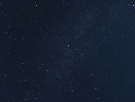 Dark sky: stars and milky way |
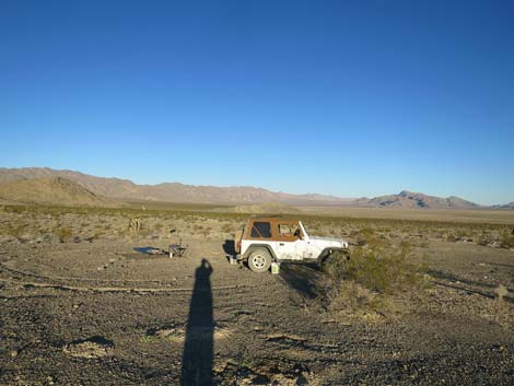 Sunrise selfie (view W) |
 Desert Dry Lake campsite (view N) |
 Alamo Road continues south of Desert Dry Lake (view SE) |
 Alamo Road approaching last outcrop on left (view E) |
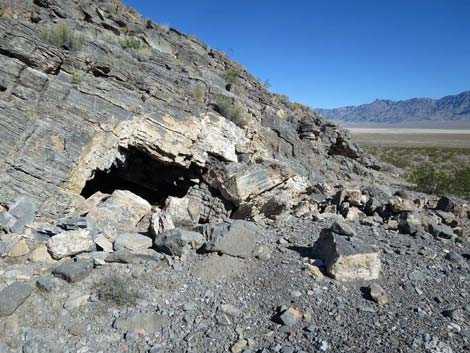 First curious cave on toe of last outcrop (view N) |
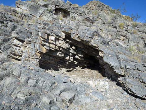 Second curious cave on edge of last outcrop (view N) |
 Alamo Road continuing past last outcrop (view E) |
 Alamo Road (view E) |
 Alamo Road (view SE) |
 Alamo Road, atop low saddle (view NE towards Dry Lake) |
 Alamo Road at first turn to historic corral (view SE) |
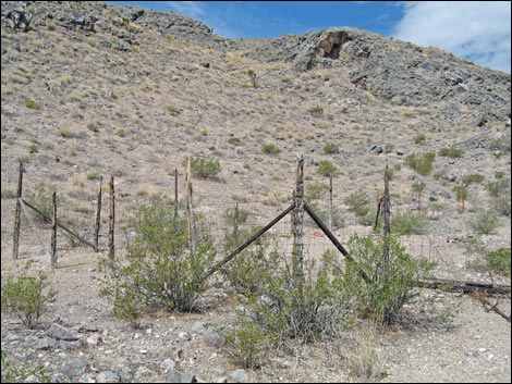
 Historic corral (view SW from Alamo Road) |
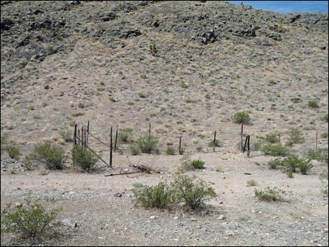 Alamo Road at old corral (view S from Alamo Road) |
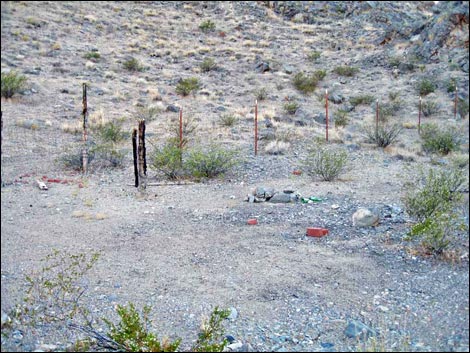 Old corral and trash |
 Old corral |
 Alamo Road at second turn to historic corral (view SE) |
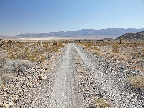
 Alamo Road at Cabin Spring Road (39.5 miles N of Corn Creek) |
 Alamo Road stays left at the fork (view S) |
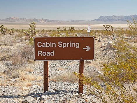
 Directional Sign (view S) |
 Alamo Road stays left at the fork (view NE) |
 Alamo Road at directional sign (view NE) |
 Directional sign (view NE) |
 Alamo Road continues past Cabin Spring Road (view NE) |
 More to come ... |
Happy Hiking! All distances, elevations, and other facts are approximate.
![]() ; Last updated 240324
; Last updated 240324
| Backroads Around DNWR | Hiking Around Las Vegas | Glossary | Copyright, Conditions, Disclaimer | Home |