Hiking Around Las Vegas, Desert National Wildlife Refuge
 Quail Spring Trailhead |
Overview The short, 0.5-mile hike out to Quail Spring Guzzler makes for a pleasant little walk in the big desert, but it is too far out to go just for this hike. Rather, consider it a nice hike when doing for a drive or camping at Gass Peak Camp 2. This hike is in the Mojave Desert Scrub zone with lots of Joshua trees and a diversity of shrubs. Approach the guzzler slowly watching the hillside for bighorn sheep, mule deer, and other wildlife. Closer in, watch for songbirds coming in for water. Link to map. |
 |
Watch Out Other than the standard warnings about hiking in the desert, ...this is a safe hike. Depending on road conditions, the trailhead might be accessible with a 2WD-HC vehicle, but inquire locally or use a 4WD vehicle just to be sure. It might be best to stop about 0.15 miles short of the trailhead (atop a hill) and walk the rest of the way to the trailhead. While hiking, please respect the land and the other people out there, and try to Leave No Trace of your passage. Also, be sure to have what you need of the 10 Essentials. This is a wildlife refuge, so pay extra attention to respecting the land. |
 Quail Spring Guzzler |
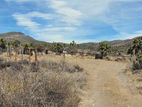
Getting to the Trailhead This short hike is located on the Desert National Wildlife Refuge, about 2.5 hours north of town. From town, drive out to Corn Creek Field Station and continue east 100 yards to a T-intersection. Turn right onto Mormon Well Road and drive south and then east for 4.35 miles to Gass Peak Road. Turn right onto Gass Peak Road (south) and follow it east for 8.6 miles to a fork about 1/2 miles past a signed service road to the right. Stay left onto Quail Spring Road and drive north another 1.4 miles to a parking area and trailhead at the end of the road. This road is a bit rough, so in a 2WD vehicle, consider stopping about 1 minute short of the trailhead at a wide spot on the crest of a steep hill. Either way, park here; this is the trailhead. |
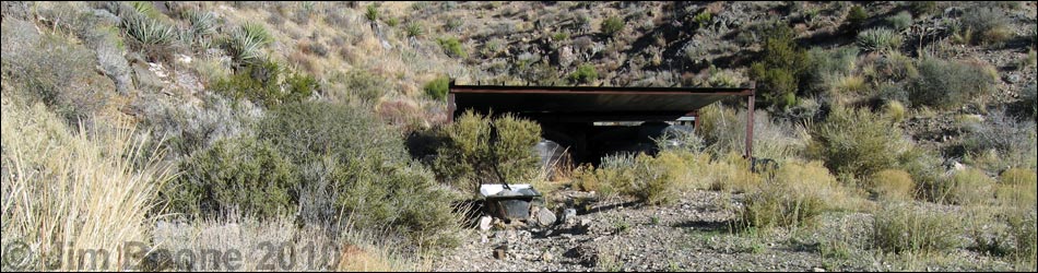
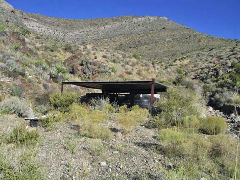
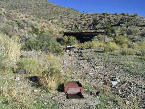 Quail Spring Guzzler and Drinker |
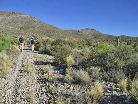
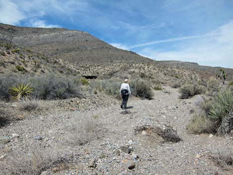
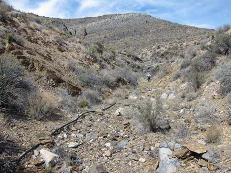
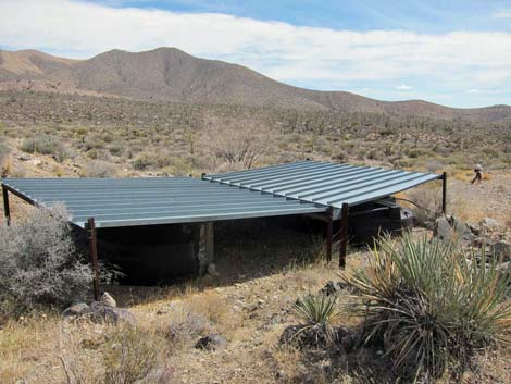
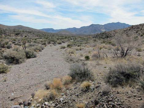
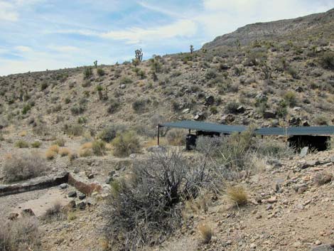
The Hike From the trailhead (Table 1, Waypoint 01), the route follows the old road northeast. When the road gives out, the route follows a well vegetated wash along a hillside for about 0.45 miles to a side canyon. About 40 yards up the side canyon, the guzzler (Wpt. 02) sits on a bench adjacent to a wash. The rain collector funnels water into storage tanks, and from there water flows out to a drinker. Watch for birds and mammals coming down for water, but don't linger too long as the presence of humans will discourage them from coming down to drink. |
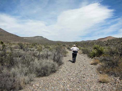 Starting hike up the old road |
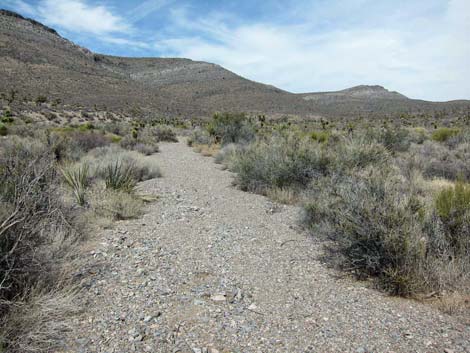 The old road |
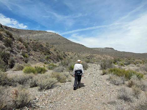 Hiking up the old road |
 Hiker nearing the guzzler |
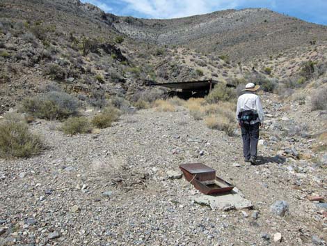 Arriving at the drinker |
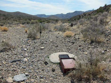 Second drinker with wildlife camera on post |
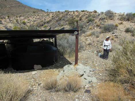 Water catchment structure |
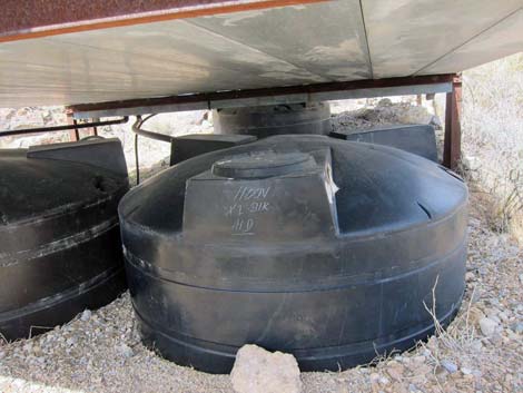 One of three water tanks under the rainwater collector |
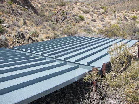 Top of the rainwater collector |
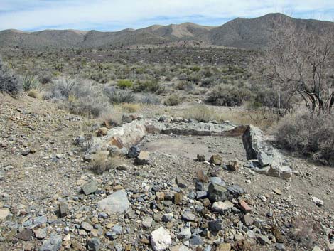 Old cattle trough? |
 Hiker following old pipe up the canyon |
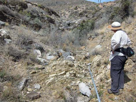 Hiker at beginning of the pipe |
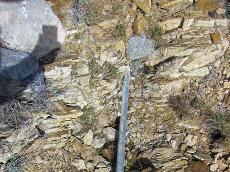 Pipe and a small puddle of water |
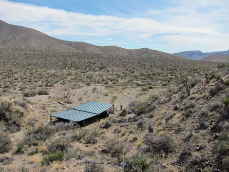 Guzzler from high above |
 Guzzler from above |
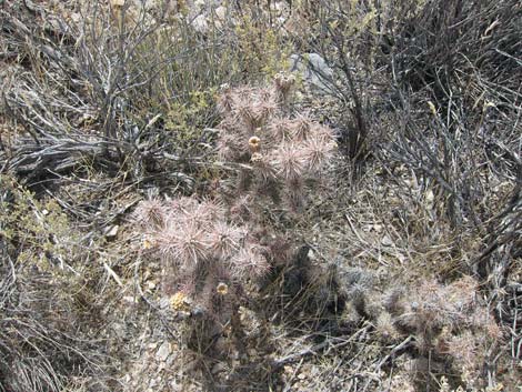 Rare Blue Diamond Cholla near guzzler |
 Collapsed prospect tunnel near guzzler |
 View down the wash from guzzler area |
 Guzzler and old watering trough |
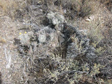 Second rare Blue Diamond Cholla along wash below guzzler |
Table 1. Hiking Coordinates Based on GPS Data (NAD27; UTM Zone 11S). Download Hiking GPS Waypoints (*.gpx) file.
| Wpt. | Location | Easting | Northing | Elevation (ft) | Point-to-Point Distance (mi) | Cumulative Distance (mi) | Verified |
|---|---|---|---|---|---|---|---|
| 01 | Quail Spring Trailhead | 666648 | 4035031 | 5148 | 0.00 | 0.00 | Yes |
| 02 | Quail Spring Guzzler | 666868 | 4035688 | 5258 | 0.45 | 0.45 | GPS |
| 01 | Quail Spring Trailhead | 666648 | 4035031 | 5148 | 0.45 | 0.90 | GPS |
Happy Hiking! All distances, elevations, and other facts are approximate.
![]() ; Last updated 240324
; Last updated 240324
| Hiking Around DNWR | Birding Around DNWR | Glossary | Copyright, Conditions, Disclaimer | Home |