Hiking Around Las Vegas, Desert National Wildlife Refuge
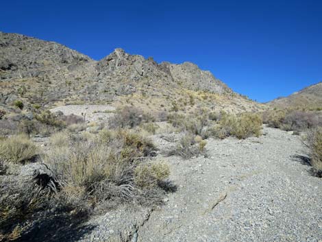
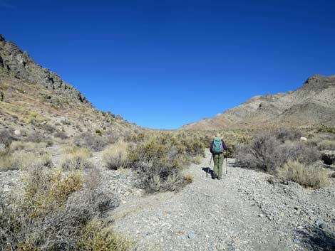
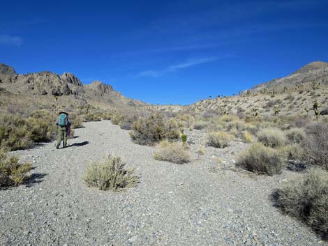
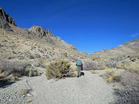
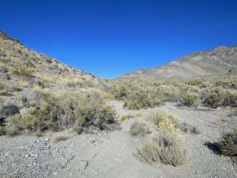
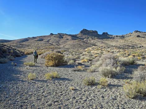
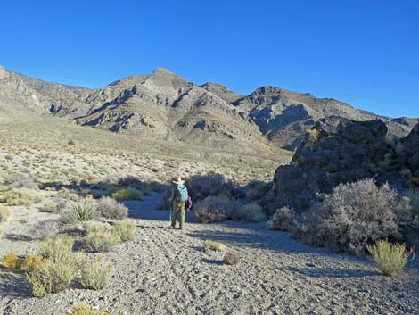
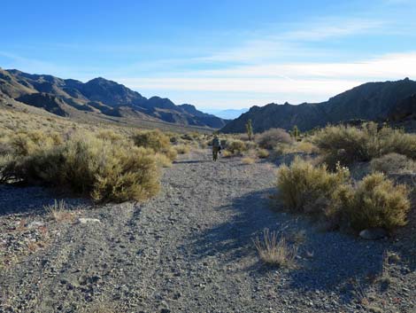
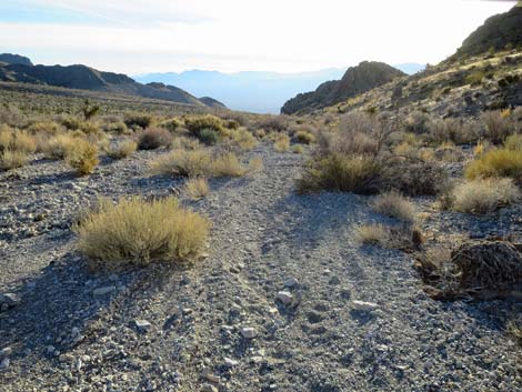
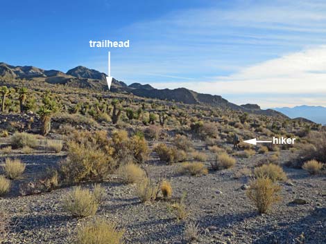
 Start of the route (view N from trailhead; guzzler behind ridge) |
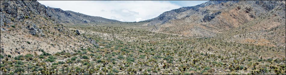
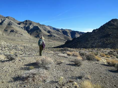
Overview Joe May Canyon is a middle-elevation valley that runs parallel to, and on the west side of, the Sheep Range. The valley floor is broad and flat (crosswise), but fairly steep (lengthwise), and several canyons come down from the crest of the Sheep Range and terminate here. There is no trail, but the main wash provides easy access up the valley, at least to the sheep guzzler, which is about 1.7 miles out. Native peoples left their mark here, and desert bighorn sheep come here to drink water. The round-trip hike is about 3.5 miles. For general information on camping, regulations, other issues, and the natural history of the Wildlife Refuge, see the Desert National Wildlife Refuge -- Area Overview page. Link to a map. |
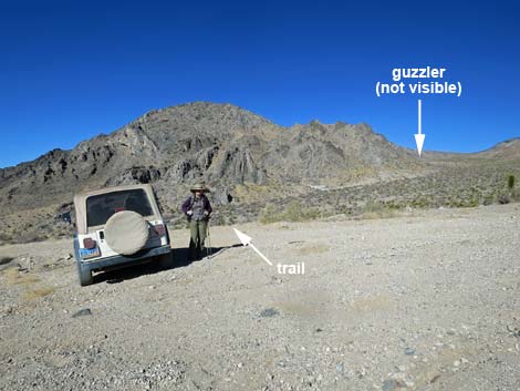 Trailhead parking (view NW) |
Watch Out Other than the standard warnings about hiking in the desert, ...this is a pretty safe hike. Hiking in loose gravel is tiring, more tiring than might be expected, so don't overestimate the speed at which you will be able to hike up the canyon. Depending on recent weather conditions, a 2WD-HC vehicle should make it to the trailhead, but call the refuge manager if you have questions. While hiking, please respect the land and the other people out there, and try to Leave No Trace of your passage. Also, even though this hike is fairly short, it is remote, so be sure to bring the 10 Essentials. This is a wildlife refuge, so pay extra attention to respecting the land. Please, don't bother the bighorn sheep. They have a hard enough time making a living in these desert lands; they don't need extra stress from people hanging around the water hole. |
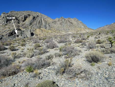
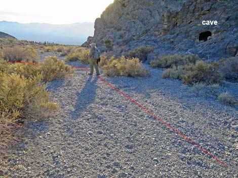
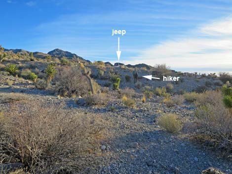
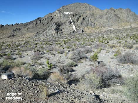 A cave in the distance makes a good landmark (view NW) |
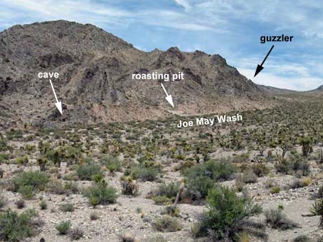
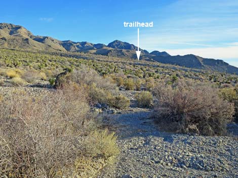
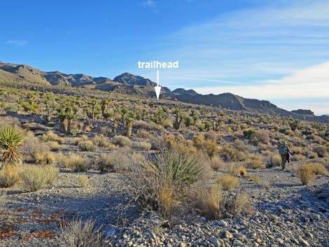
Getting to the Trailhead This hike is located in Desert National Wildlife Refuge, about 1.5 hours north of town. From town, drive out Corn Creek Road to Corn Creek Field Station and continue east 100 yards to a T-intersection with a large directional sign. Turn left onto Alamo Road and drive north for 3.1 miles to Joe May Road. Turn right onto Joe May Road and drive east towards the mouth of Joe May Canyon. As the road starts into the canyon, it passes gray limestone cliffs on the left (north), passes a closed road on the left (which is the trail), and shortly arrives at an old corral with some stonework. The corral is just before the road goes up a hill that looks a bit 4WD-ish, most of 4 miles from Alamo Road. Park near the corral; this is as good as it gets for the trailhead. |
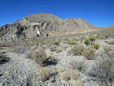 |
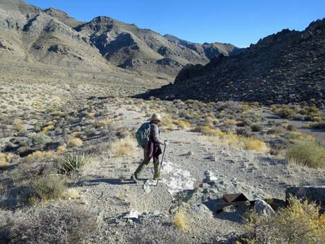
The Hike From the trailhead (Table 1, Waypoint 01), the route runs north-northwest down off the road berm and down across the hillside and washes towards a small cave at the base of limestone cliffs across the valley (Wpt. 02). From the trailhead, the cave looks deep and interesting; it is not, but getting to that point puts hikers in Joe May Wash. From the cave (Wpt. 02), the route turns northeast following Joe May Wash upstream. Shortly, the route passes below an enormous agave roasting pit on the hillside to the left. Native people used these mountains. One sign of their presence is this agave-roasting pit. Look for what looks like a large pile of gray limestone mine tailings. If you hike up the hill above the agave roasting pit to where you can get a good view from above, you will see that the pit is actually two pits. There appears to be a small, older pit near the wash and a larger pit above (partially overlying) the smaller one. |
 |
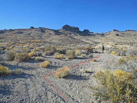
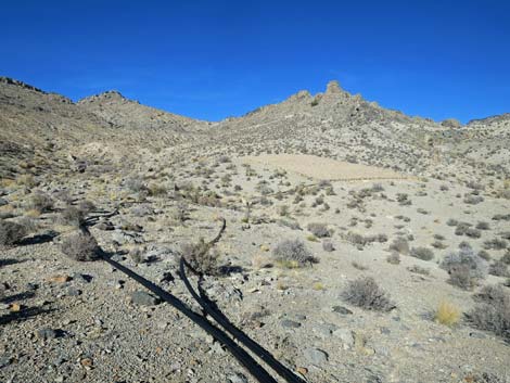
These, and all archeological sites, are protected by law; please do not disturb anything here. Spend a few minutes contemplating life in the desert without modern amenities. Consider what it would have been like to sit here a few thousand years ago, chatting with the neighbors and roasting your Utah agaves. You might consider, for example, where would you get your firewood and agave, and what you would do for food, water, and shelter. Continuing up the wash beyond the agave roasting pit, the route follows along the base of the ridge on the left. At about 0.46 miles out (Wpt. 03), the wash forks and the hillside pulls back to the left. At the fork, the route continues north (right-ish) following the wash along the bottom of the main valley (which is Joe May Canyon). By about a mile out, the route (still in the wash) is again passing along the edge of limestone cliffs on the left and still continuing north. At about 1.22 miles out (Wpt. 04), the wash forks, and here the route stays left following the wash along the base of the cliffs. The main wash, Joe May Wash, stays right in the bottom of the valley. |
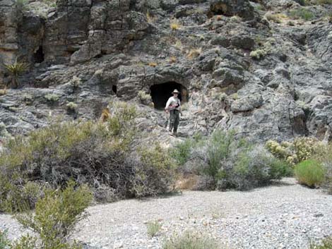 Hiker at the not-so-interesting cave (view NW) |
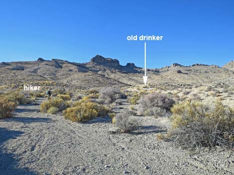
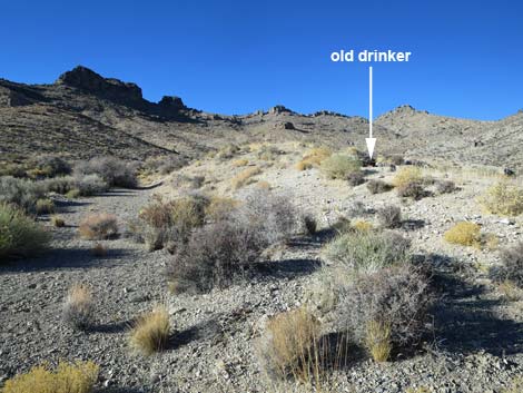
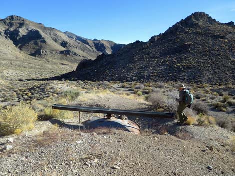
At about 1.47 miles out (Wpt. 05), the wash forks again, and again the route stays left along the base of the cliffs. Now heading northwest, the route follows the wash around the toe of the ridge and bends even more to the west. By now, the old drinker for the original guzzler is visible on the low ridge ahead on the right. Hikers can walk up the toe of the ridge to the drinker, but it is easier to stay in the wash, turning right at a fork (Wpt. 06) to head northwest again. The wash runs up along the low ridge to a point (Wpt. 07) where it is only a few steps up to old drinker (Wpt. 08), which is now dry and unused. About 30 yards farther up the low ridgeline, the route passes the old water tank (with the apron removed but the gutter remaining) looking somewhat like a UFO partially buried in the ground. Area 51 is not too far away! |
 Route turns to run up the wash (view NE) |
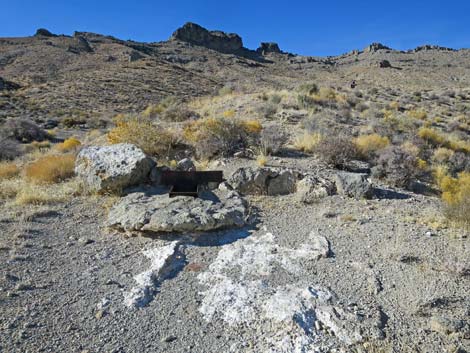
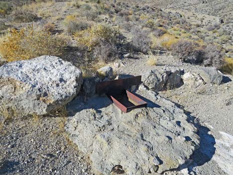
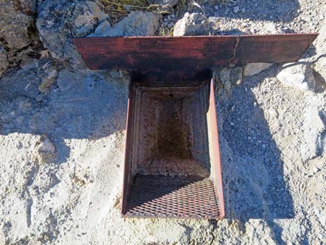
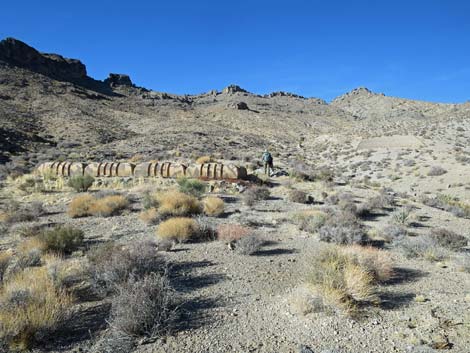
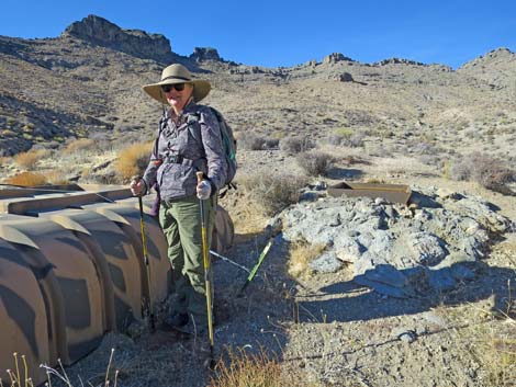
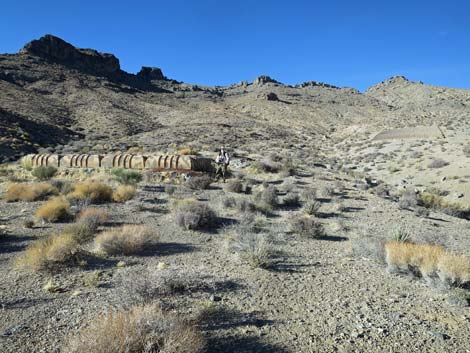
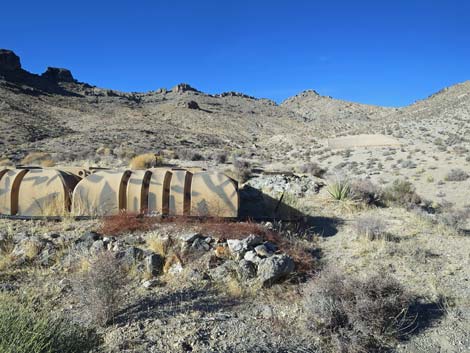
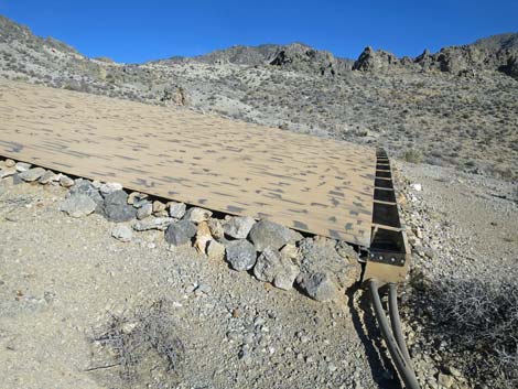
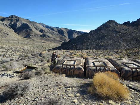
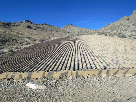
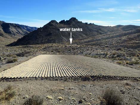
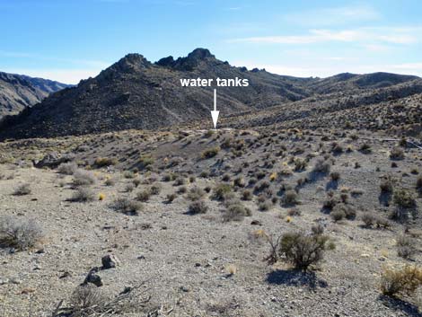
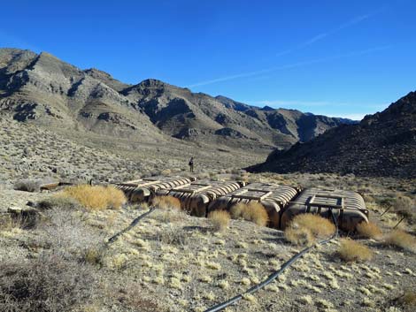
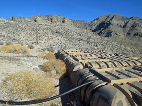
About 70 yards farther up the low ridge, the route arrives at the new guzzler (Wpt. 09). Four large plastic water tanks feed a metal drinker that is watched by the unblinking eye of a game camera. Two large black pipes feed into the tanks, and following them uphill for another 80 yards brings hikers to the base of the new apron. This is a large water collector that feeds water down to the tanks. The apron is about 15 yards wide and 30 yards long, and the route ends at the top of the apron (Wpt. 10). While in this area, watch the hills for bighorn sheep and other wildlife, visit the guzzler briefly, and then back off a ways (perhaps back to the edge of the main canyon). Find a comfortable spot for lunch and watch for wildlife. For the return, follow your tracks back down the wash to the cave, then angle left to the trailhead. Vehicles are visible from a great distance. |
 Agave roasting pits (view NW from Joe May Wash) |
 Enormous agave roasting pit (view NW from Joe May Wash) |
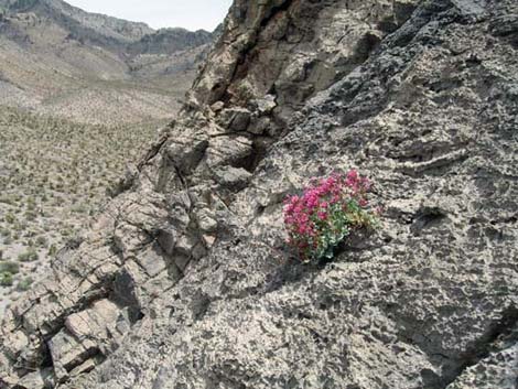 Petiolate Beardtongue on limestone outcrop (view SE) |
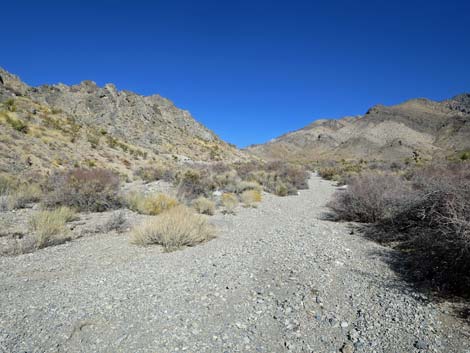
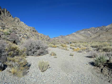
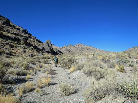
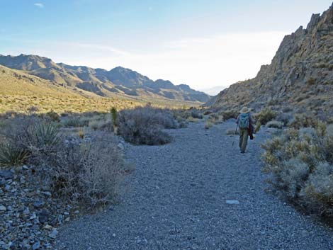
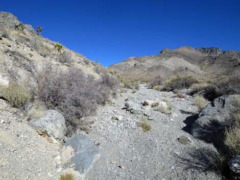 Route continues up the wash (view NE) |
 Hiker in the wash (view N) |
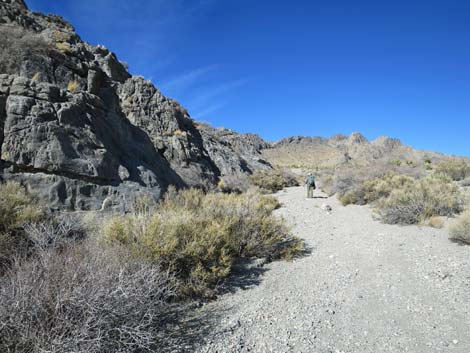 The route passes limestone outcrops (view N) |
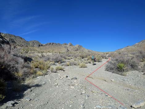 After passing limestone outcrops, route forks right (view N) |
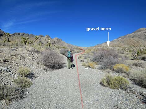 Route angles towards gravel berm (view N) |
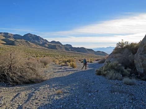
 Hiker in the wash (view N) |
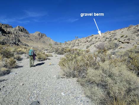 Route runs along gravel berm (view N) |
 Canyon open beyond gravel berm (view N) |
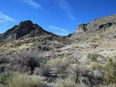
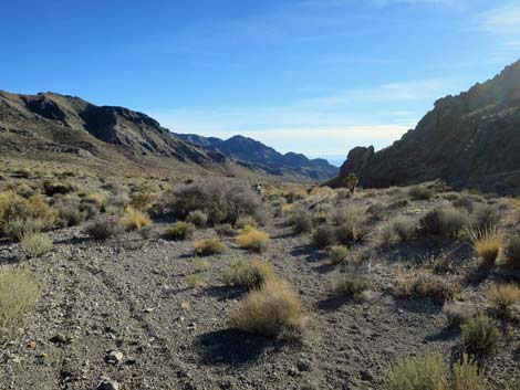
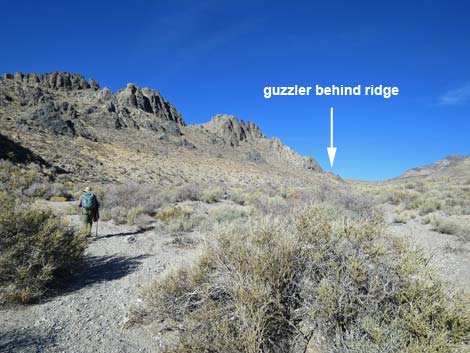 The guzzler is behind the skyline ridge (view N) |
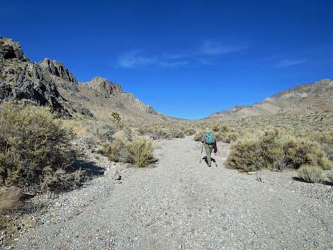
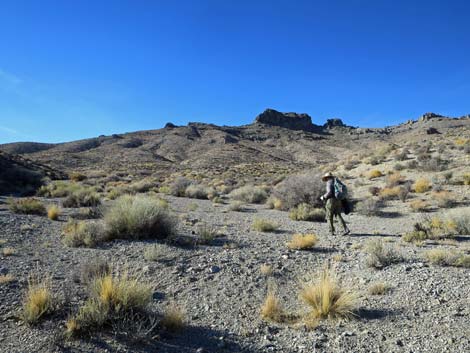
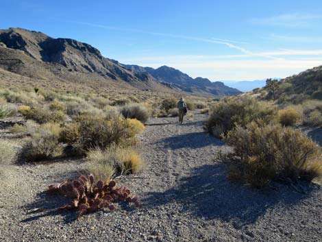
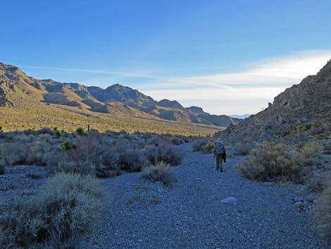
 Hiker continuing up the wash (view N) |
 Hiker continuing up the wash (view N) |
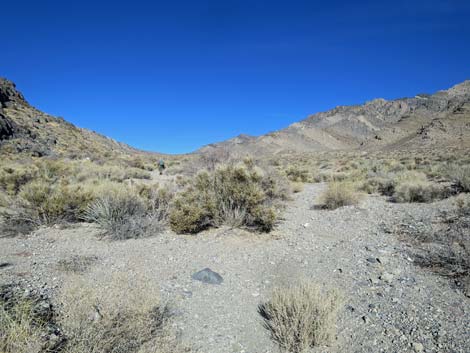 Hiker continuing up the wash (view N) |
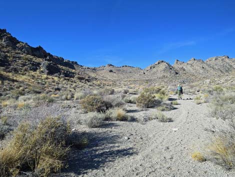
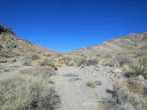 Broad, open wash (view N) |
 Route stays left against base of hillside (view N) |
 Route passes below limestone pillars (view N) |
 Route bends left along base of hillside (view NW) |
 Hiker in side-wash heading towards guzzler (view NW) |
 Route stays left along base of hillside (view NW) |
 The old guzzler comes into view on low ridge (view NW) |
 Departing base of hillside, route turns into another wash (view NW) |
 Route goes to old guzzler on low ridge (view NW) |
 Old guzzler (view NW) |
 Old guzzler (view NW) |
 The old guzzler is dry (view down) |
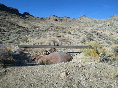 Water tank and gutter for old guzzler (apron is gone; view NW) |
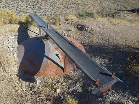 Water tank and gutter for old guzzler (apron is gone; view E) |
 Hiker arriving at new water tanks and drinker (view NW) |
 Hiker at new water tanks and drinker (view NW) |
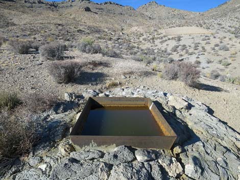 New drinker (view N) |
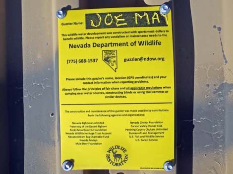
Joe May Guzzler
 Hiker at new water tanks and drinker (view NW) |
 Water tanks (view NW) |
 New drinker (view W) |
 Pipes connecting new apron with water tanks (view N) |
 Apron and gutter with pipe leading to water tanks (view N |
 Hiker by drinker and water tanks (view S) |
 Apron (view N) |
 Sign on the apron (view down) |
 Apron with water tanks in the distance (view S) |
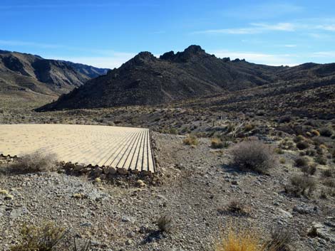 Edge of apron with water tanks in the distance (view S) |
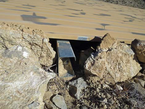 Metal frame holding apron off the ground (view SE) |
 Water tanks on ridgeline (view S from below apron) |
 Water pipes running into water tanks (view SE) |
 Water pipes running into water tanks (view E) |
Returning to the Trailhead
 Hiker below water tanks (view SE) |
 Hiker departing past the old water tank (view SE) Hiker departing past the old water tank (view SE) |
 Hiker departing past the old drinker (view SE) |
 Hiker departing down the side wash (view E) |
 Back in the main wash (view S) |
 Red pricklypear and hiker in the main wash (view S) |
 Hiker in the shade of high cliffs (view S) |
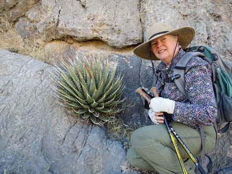 Pretty lady with healthy Ivory-spined Agave |
 Hiker retuning down sunny Joe May Canyon (view S) |
 Hiker retuning down shady Joe May Canyon (view S) |
 |
 |
 Hiker back to the not-so-interesting cave (view SW) |
 Near the not-so-interesting cave (view SE to trailhead) |
 |
 |
 |
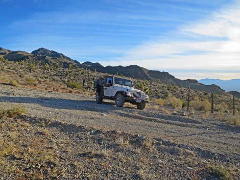 |
Table 1. Hiking Coordinates Based on GPS Data (NAD27, UTM Zone 11S). Download Hiking GPS Waypoints (*.gpx) file.
| Wpt. | Location | UTM Easting | UTM Northing | Elevation (ft) | Point-to-Point Distance (mi) | Cumulative Distance (mi) |
|---|---|---|---|---|---|---|
| 01 | Joe May Trailhead | 651643 | 4041666 | 5,050 | 0.00 | 0.00 |
| 02 | Joe May Wash near Cave | 651590 | 4041833 | 5,022 | 0.12 | 0.12 |
| 03 | Fork in the Wash | 651775 | 4042303 | 5,175 | 0.34 | 0.46 |
| 04 | Fork in the Wash | 651963 | 4043419 | 5,550 | 0.76 | 1.22 |
| 05 | Fork in the Wash | 652019 | 4043779 | 5,639 | 0.25 | 1.47 |
| 06 | Fork in the Wash | 651865 | 4043867 | 5,701 | 0.13 | 1.60 |
| 07 | Exit Wash | 651839 | 4043897 | 5,709 | 0.02 | 1.62 |
| 08 | Old Drinker | 651841 | 4043912 | 5,710 | 0.01 | 1.63 |
| 09 | New Drinker | 651807 | 4043988 | 5,748 | 0.06 | 1.69 |
| 10 | Top of Apron | 651799 | 4044067 | 5,778 | 0.07 | 1.76 |
| 02 | Joe May Wash near Cave | 651590 | 4041833 | 5,022 | 1.65 | 3.41 |
| 01 | Joe May Trailhead | 651643 | 4041666 | 5,050 | 0.12 | 3.53 |
Happy Hiking! All distances, elevations, and other facts are approximate.
![]() ; Last updated 240324
; Last updated 240324
| Hiking Around DNWR | Hiking Around Las Vegas | Glossary | Copyright, Conditions, Disclaimer | Home |