Hiking Around Las Vegas, Hiking Around Death Valley National Park
 |
Black Point Canyon Trailhead is located along Highway 190 in Death Valley National Park, about 2-1/2 hours northwest of Las Vegas. From town, drive out to Death Valley. From the Furnace Creek Visitor Center (Table 1, Site 0712), drive north on Highway 190 for 24 miles to Stovepipe Wells (Site 0751). From the Stovepipe Wells General Store, continue west 5.0 miles to a large, dirt, unmarked pullout on the right side of the highway at the top of a hill (Site 1535). Park here; this is the trailhead. Link to Trailhead Map. Trails: Black Point Canyon. |
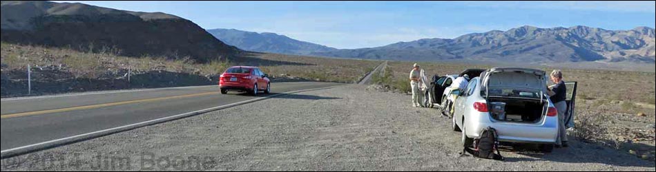
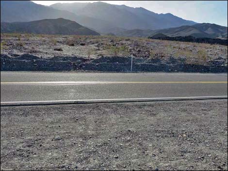
 Trailhead parking (view S) |
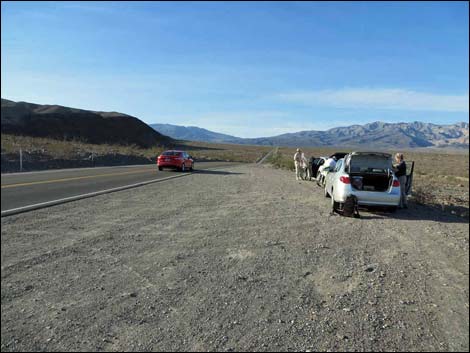
 Trailhead parking (view SW) |
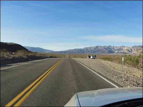
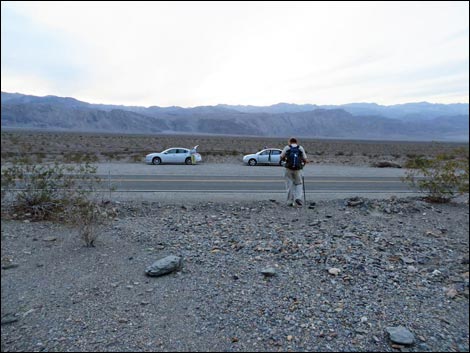
 Start of the route (view SE) |
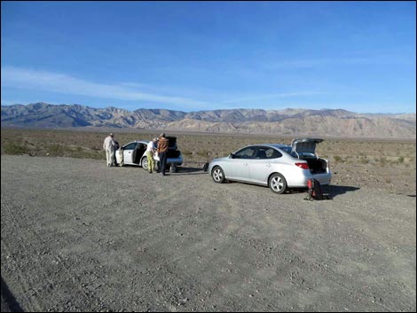
 Returning to the trailhead (view NW) |
Table 1. Highway Coordinates Based on GPS Data (NAD27; UTM Zone 11S). Download Highway GPS Waypoints (*.gpx) file.
| Site # | Location | Latitude (N) | Longitude (W) | Easting | Northing | Elevation (ft) | Verified |
|---|---|---|---|---|---|---|---|
| 0712 | Furnace Creek Visitor Center | 36.46159 | 116.86574 | 512030 | 4034954 | -186 | Yes |
| 0751 | Hwy 190 at Stovepipe Wells | 36.60654 | 117.14594 | 486948 | 4051034 | 0 | Yes |
| 1535 | Hwy 190 @ Black Point Trailhead Parking | 36.55266 | 117.20506 | 481648 | 4045067 | 974 | Yes |
Happy Hiking! All distances, elevations, and other facts are approximate.
![]() ; Last updated 240324
; Last updated 240324
| Hiking Around Death Valley | Hiking Around Las Vegas | Glossary | Copyright, Conditions, Disclaimer | Home |