Hiking Around Las Vegas, Death Valley National Park
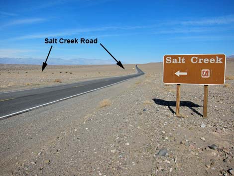 Hwy 190 at Salt Creek Road (view north) |
Overview Salt Creek Road is a spur off Highway 190 that runs west 1.2 miles from the pavement to the Salt Creek Trailhead. The road is graded dirt, and with heavy use, often becomes badly washboarded. It usually is fine for sedans. Salt Creek Road provides access to the Salt Creek Boardwalk and endless miles of hiking on the floor of Death Valley in the Death Valley Wilderness Area. Link to map. |
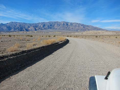
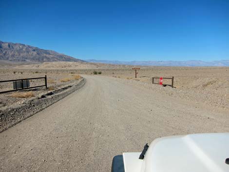 Start of Salt Creek Road (view west) |
Watch Out Other than the standard warnings about driving in the desert, ... this is an entirely safe road, but be careful on corners where some drivers come around too fast, and be careful if the road is wet. The park service closes the road when it is washed out. While out, please respect the land and the other people out there, and try to Leave No Trace of your passage. This road is short, so only bring what is necessary of the 10 Essentials. Both sides of the road are designated wilderness, so be sure to keep vehicles on the graded roadway. |
 |
Getting to the Trailhead This road is located in Death Valley National Park, about 3.5 hours northwest of Las Vegas. From town, drive out to Death Valley. From the Furnace Creek Visitor Center (Table 1, Site 0712), drive north on Highway 190 for about 13 miles to Salt Creek Road (Site 0768). Watch for signs on the highway directing drivers onto a dirt road that runs out into the bottom of the valley. Salt Creek Road branches to the left (west), then shortly bends to the south. The road runs more-or-less straight until nearing the far end, where it winds a bit and bends back to the west. Rounding a hill, the road arrives at the Salt Creek Trailhead, which has vault toilets, trash cans, and recycling bins. The boardwalk trail leaves from the far end of the parking area. |
 |
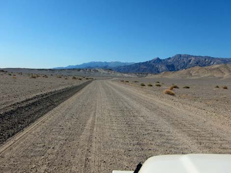 |
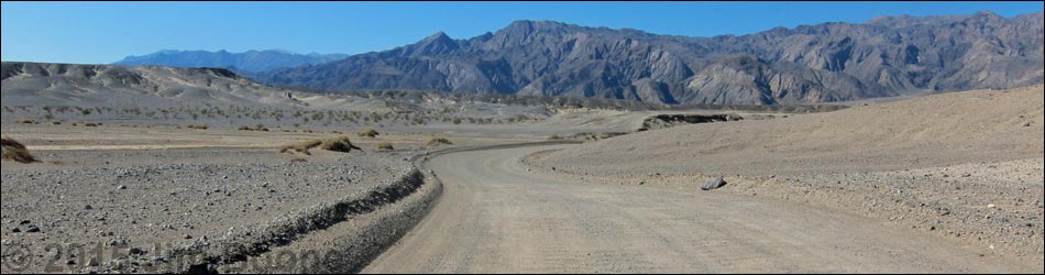
 Salt Creek Road (view SW) |
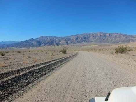
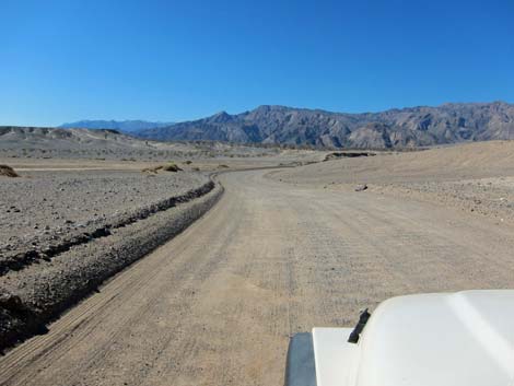
 Salt Creek Road approaching the parking area (view W) |
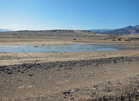 Water flowing out into the desert (view S) |
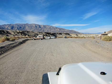 Salt Creek Road, approaching the parking area (view W) |
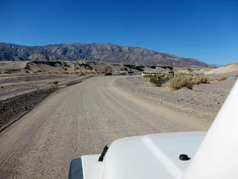
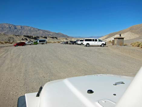 Salt Creek Road, entering the parking area (view W) |
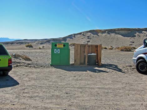 Trash and recycling at the parking lot (view S) |
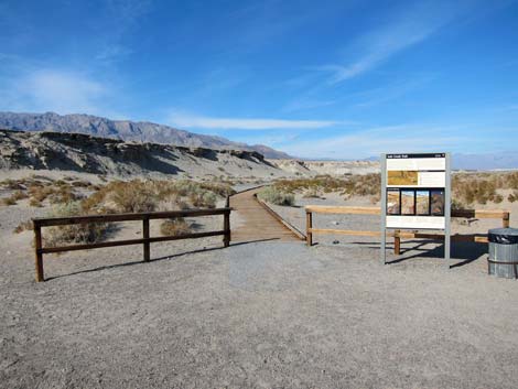 Salt Creek Trailhead sign |
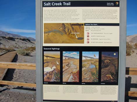 Salt Creek Trailhead sign |
Table 1. Highway Coordinates Based on GPS Data (NAD27; UTM Zone 11S). Download Highway GPS Waypoints (*.gpx) file.
| Site # | Location | Latitude (N) | Longitude (W) | Easting | Northing | Elevation (ft) | Verified |
|---|---|---|---|---|---|---|---|
| 0712 | Furnace Creek Visitor Center | 36.46159 | 116.86574 | 512030 | 4034954 | -186 | Yes |
| 0713 | Salt Creek Parking | 36.59063 | 116.98965 | 500925 | 4049259 | -210 | Yes |
| 0768 | Hwy 190 at Salt Creek Rd | 36.60468 | 116.97963 | 501822 | 4050817 | -188 | Yes |
Happy Hiking! All distances, elevations, and other facts are approximate.
![]() ; Last updated 240324
; Last updated 240324
| Death Valley | Hiking Around Las Vegas | Glossary | Copyright, Conditions, Disclaimer | Home |