Hiking Around Las Vegas, Basin and Range National Monument
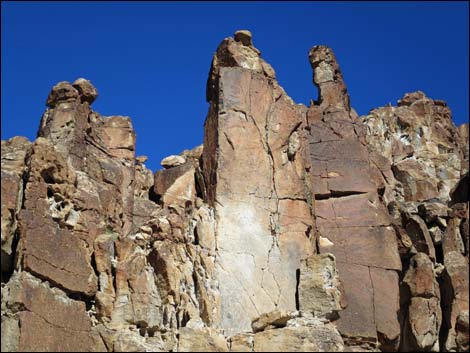
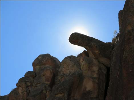
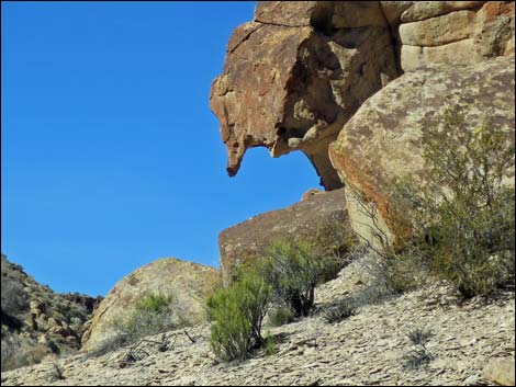
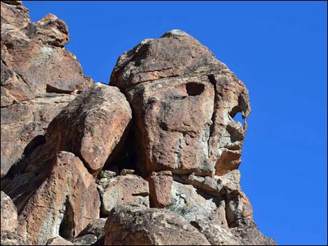 One of the more obvious faces in the valley |
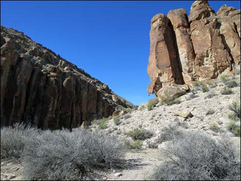
Overview Valley of Faces, out in White River Narrows Archeological District, is a narrow canyon bordered by volcanic cliffs that are fractures into vertical pillars and eroded into fanciful shapes. With some imagination, a variety of human and animal faces can be seen in the stone. The hike follows Valley of Faces Road, a maintained sandy road that runs up the wash and normally is suitable for 2WD-HC vehicles until the canyon narrows. After that, when the canyon is too narrow to turn around a vehicle, the sand gets deeper and looser and 2WD vehicles are in grave danger of getting stuck. Valley of Faces is a delightful place to hike and experience the deep canyon. Watch for flowers growing on the rocks, owls peeking out from dark places, Canyon Wrens singing from the cliffs, and perhaps B2 Stealth Bombers chasing one another around the sky. The best of the canyon ends at the Stone Cathedral, a stunning rock wall that has inspired humans since the beginning of time. Link to map. |
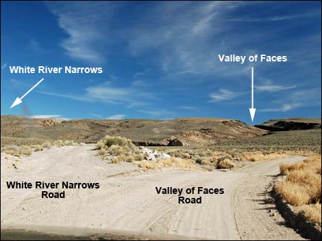 White River Narrows Road stays left at fork (view E) |
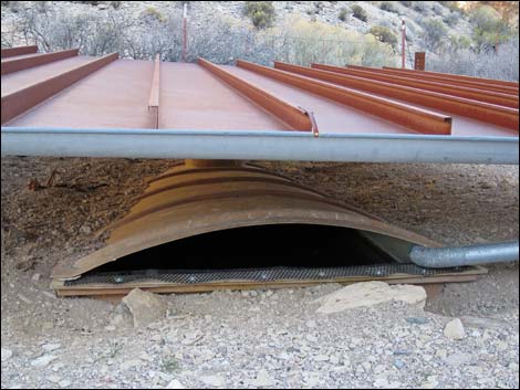
Watch Out Other than the standard warnings about hiking in the desert, ...this is a pretty safe hike, but it can have deep soft sand in the narrows that can trap 2WD vehicles. While out, please respect the land and the other people out there, and try to Leave No Trace of your passage. This road goes into remote areas, so be sure to bring the 10 Essentials. Cell phones don't work in this area. Getting to the Trailhead Valley of Faces is located in the southeast part of Basin and Range National Monument, about 2 hours (131 miles) northeast of Las Vegas driving directly, or about 25 minutes (23.8 miles) north of the intersection of Highway 93 and Highway 318. |
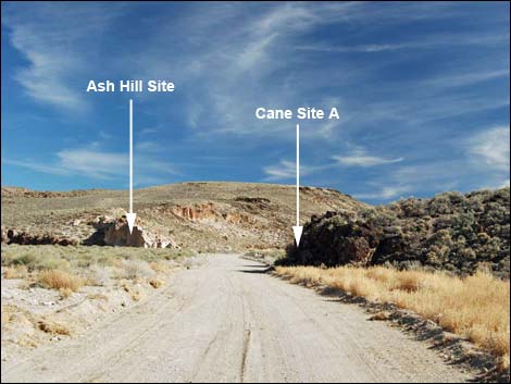 Approaching the Ash Hill and Cane Site A petroglyph sites (view E) |
From Las Vegas, drive north on Interstate-15 for 21 miles to Highway 93. Turn left onto Great Basin Highway (Hwy 93) and drive north past the towns of Alamo and Ash Springs (top off the gas tank here) to the intersection of Highway 93 and Highway 318. Turn left onto Highway 318 and drive west then north for 23.8 miles to White River Narrows Road on the right. The intersection is marked only by a paved apron and a cattle guard. Drive east on White River Narrows Road for 250 yards to a fork. Stay right onto Valley of Faces Road and continue at most about 0.6 miles in a 2WD vehicle. Park here; this is the trailhead. The point is to hike through the canyon, so don't try to drive too far. The Hike From the trailhead (Table 1, Waypoint 01), the hike starts up Valley of Faces Road. At first the canyon is fairly open with lots of shrubs along the edge, so keep an eye out for little birds, especially White-crowned Sparrows during winter. |
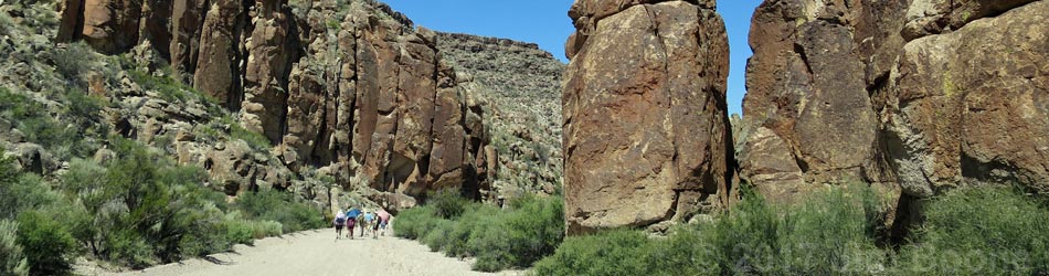
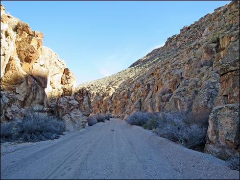
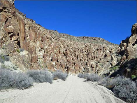
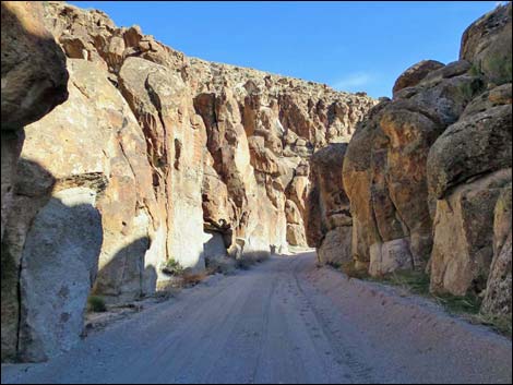
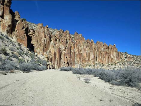
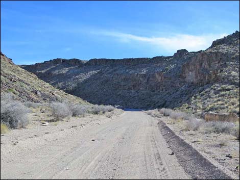 Entering Valley of Faces; park in this area (view SE) |
Soon the canyon narrows (Wpt. 02) and hikers find shade as well as towering cliffs and eroded boulders. Ahead, the canyon sweeps left then right and enters the narrowest section (Wpt. 03). Above there, the canyon opens slightly, and hikers pass the site where ranchers sometimes erect a temporary fence spanning the canyon with a gate. Pass through the gate, but be sure to leave it open or closed, whichever way it was found. A bit farther up the canyon, hikers pass a quail guzzler (Wpt. 04) on the left. The wash then winds up against a tall cliff on the right with an unusual structure. One of the columnar blocks tipped over, but did not fall, creating a finger of stone sticking out from the cliff face. After passing the "stone finger" cliffs, the canyon sweeps left, and hikers get the first view of the Stone Cathedral ahead on the left. This towering cliff has inspired humans from the beginning of time, and the ancients used the stone canvas to peck and paint messages to the gods. |
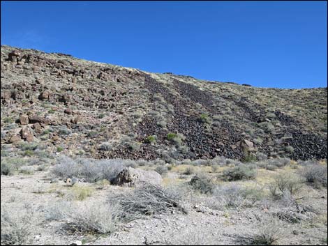 Black-stone stripes on the hillside (view E) |
The Stone Cathedral is a good place to stop for a snack before turning back towards the trailhead (Wpt. 01). Valley of Faces Road does, however, continue up the canyon. The upper canyon is never again narrow, but it passes open areas and cliffs, and it remains scenic. At about 1.3 miles from the trailhead, the canyon forks. The road goes right while a narrower canyon goes left. Staying right, at about 1.6 miles out, the canyon walls lay back. In the more open canyon, the road passes a corral at about 2.2 miles out, passes a very old corral at about 2.3 miles out, and then it ends at a T-intersection 2.4 miles out. Adventuresome hikers could turn left at the T-intersection and walk north 0.6 miles to another wash. Turning left down the wash, they could return 0.9 miles to Valley of Faces Road where the canyon forks at 1.3 miles out, making a nice 5-mile partial loop. For photos of the descent, see Valley of Faces -- Return to the Trailhead. |
 |
 |
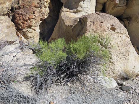
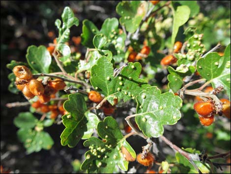 Skunkbush Sumac |
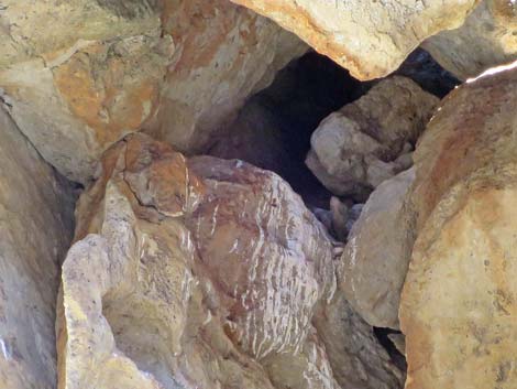
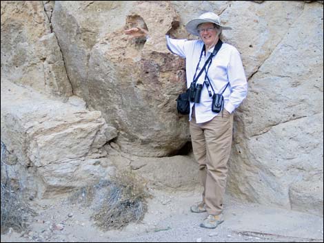 Hole in the rock |
 |
 |
 |
 |
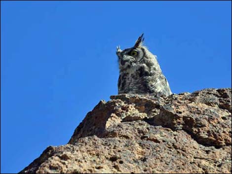 Great Horned Owl |
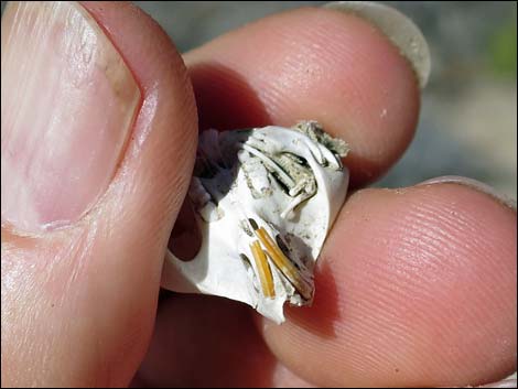 Kangaroo Rat skull found below owl roost |
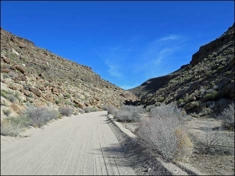
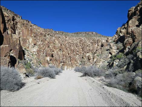
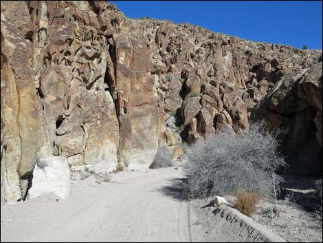
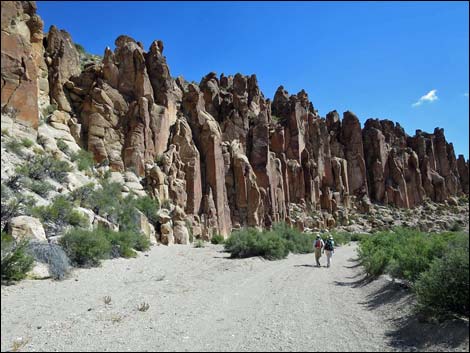
 Valley of Faces Narrows (view E) |
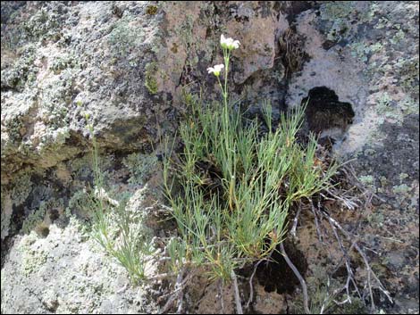
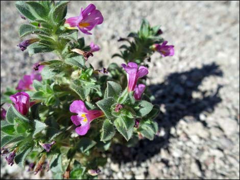
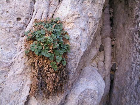 Interesting plants grow on the rock walls (rock whitefeather) Interesting plants grow on the rock walls (rock whitefeather) |
 Lots of faces |
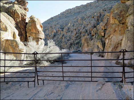 Be sure to leave the gate as found -- either open or closed |
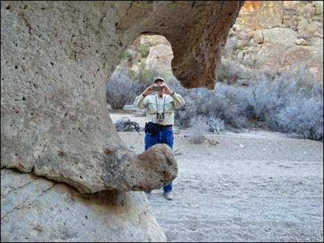 Another hole in the rock |
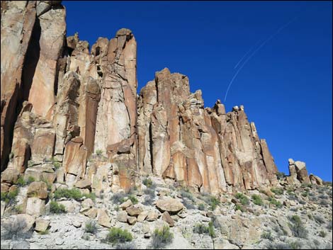
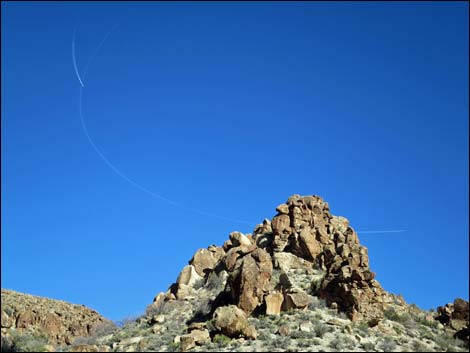 Jets dog-fighting in the blue sky |
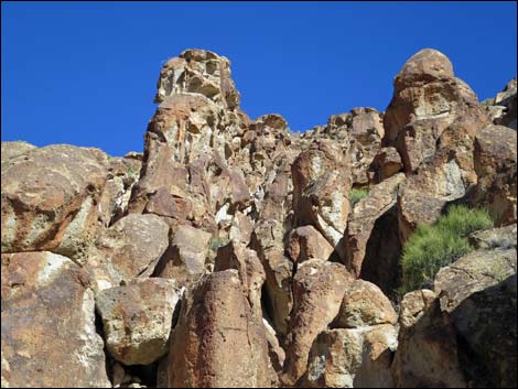
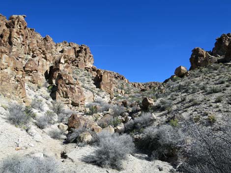
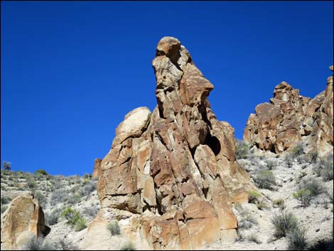
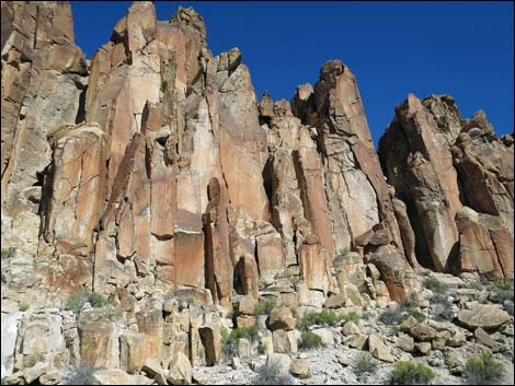
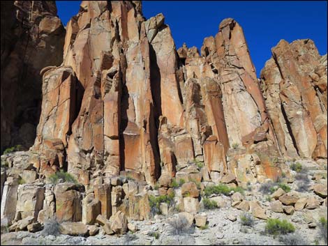
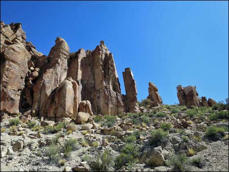
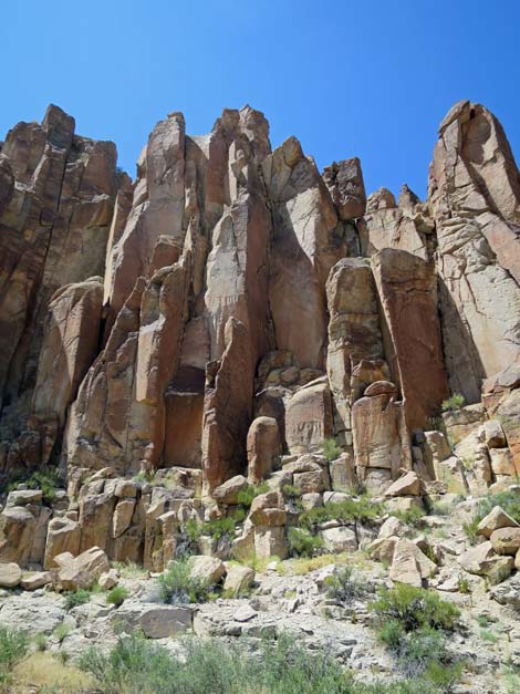
 Eroded cliffs |
 Side canyon to the north (view NE) |
 Quail guzzler |
 Eroded cliffs |
 Who sees a woman on a horse? |
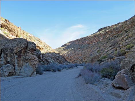
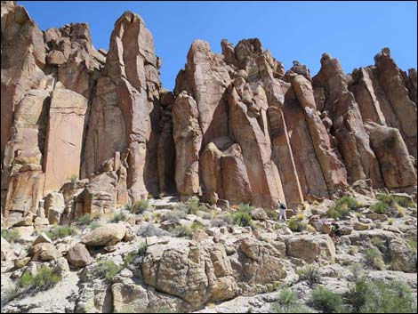
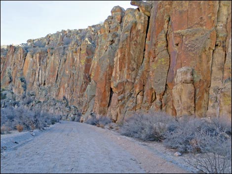 High canyon walls |
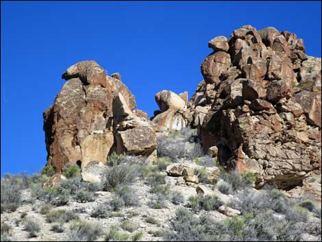
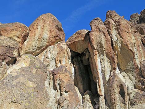
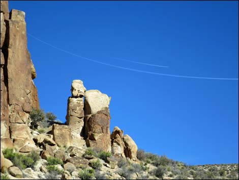
 Fallen pillar |
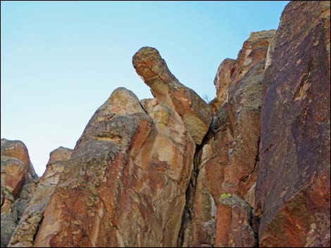 Fallen pillar Fallen pillar |
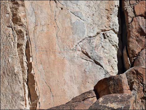
 Cracks in the wall |
 Mojave Sandwort |
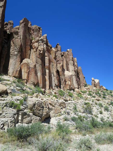
 Eroded stone formations |
 Eroded stone formations |
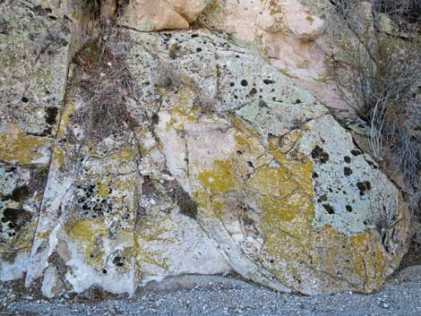 Colorful lichens growing on the rocks |
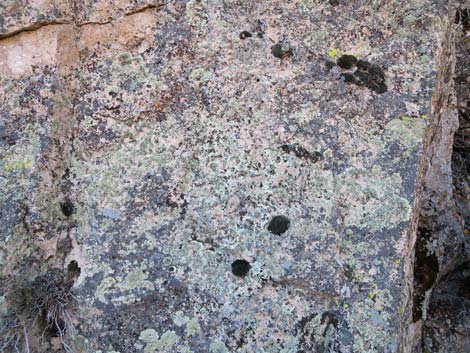 Colorful lichens growing on the rocks |
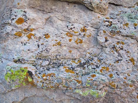 Colorful lichens growing on the rocks |
 Mormon Tea |
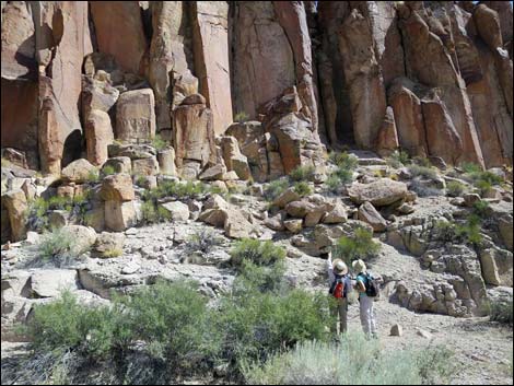
 Owl roost up in the rock |
 Owl roost, but nobody is home |
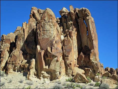
 Approaching the Stone Cathedral (view NE) |
 Hikers arriving at the Stone Cathedral |
 Stone Cathedral |
 Hikers at the Stone Cathedral |
 |
 |
 |
 |
 |
 |
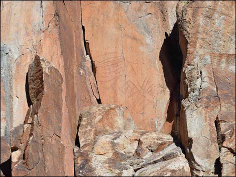
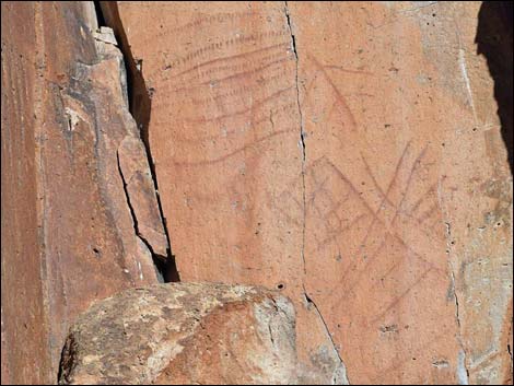
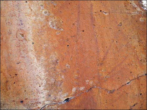 Pictographs |
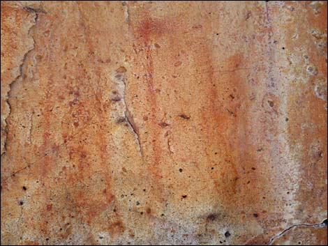 Pictographs |
 Bigelow's monkeyflower |
 Far end of the Stone Cathedral |
 Stone Cathedral |
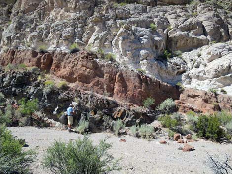 Interesting rock layers across the canyon (view S) |
 Stone Cathedral |
 Stone Cathedral |
Table 1. Highway Coordinates and Distances based on GPS Data (NAD27). Download hiking GPS waypoints (gpx) file.
| Wpt. | Location | UTM Easting | UTM Northing | Elevation (ft) | Point-to-Point Distance (mi) | Cumulative Distance (mi) |
|---|---|---|---|---|---|---|
| 01 | Valley of Faces Trailhead | 672333 | 4186770 | 4,536 | 0.00 | 0.00 |
| 02 | Canyon Narrows | 672625 | 4186627 | 4,562 | 0.22 | 0.22 |
| 03 | Narrows | 672992 | 4186638 | 4,600 | 0.25 | 0.47 |
| 04 | Quail Guzzler | 673191 | 4186486 | 4,627 | 0.16 | 0.63 |
| 05 | Stone Cathedral | 673455 | 4186462 | 4,672 | 0.25 | 0.88 |
| 01 | Valley of Faces Trailhead | 672333 | 4186770 | 4,536 | 0.88 | 1.76 |
Happy Hiking! All distances, elevations, and other facts are approximate.
![]() ; Last updated 240324
; Last updated 240324
| Basin and Range | Hiking Around Las Vegas | Glossary | Copyright, Conditions, Disclaimer | Home |