Backroads Around Las Vegas, Basin and Range National Monument
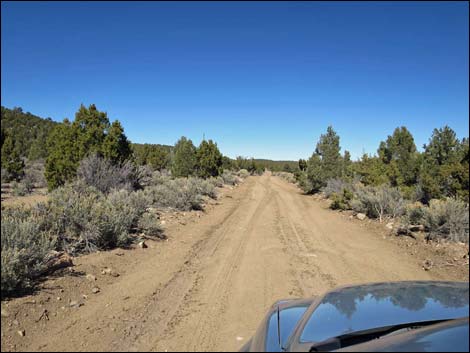
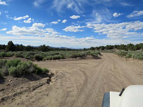
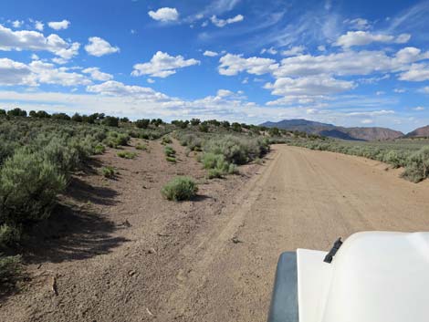
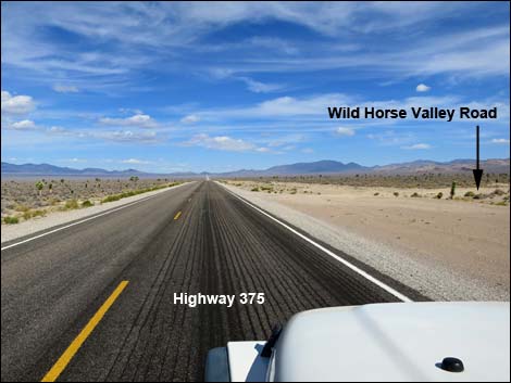 Highway 375 at Wild Horse Valley Road (view NW) |
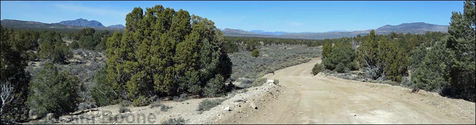
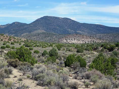
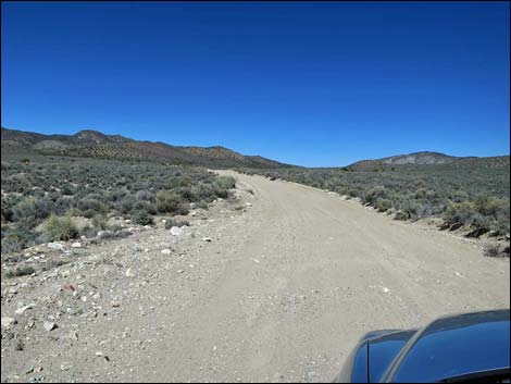
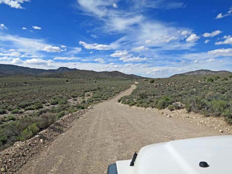
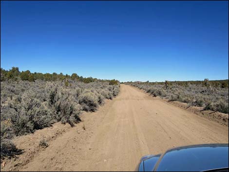
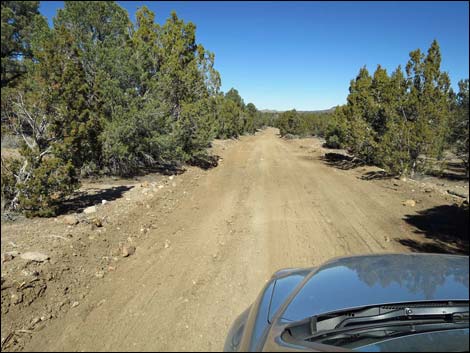
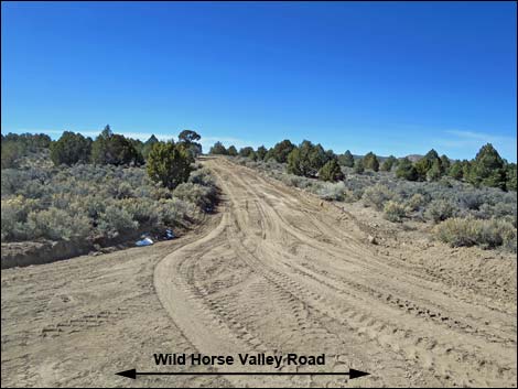
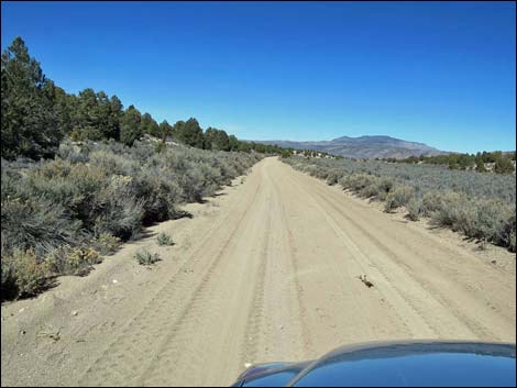
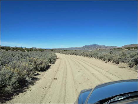
Overview Wild Horse Valley Road is a well-maintained, 24-mile dirt road that starts along Highway 375 and runs north, passing Logan Canyon Road to the east and several other minor roads, then dead-ending into Mail Summit Road just west of Murphy Gap. Wild Horse Valley Road normally is suitable for 2WD vehicles, but it can be muddy. In the south, the road runs through Mojave Desert Scrub vegetation as it climbs towards the mountains. In the mountains, the road runs over a low saddle between the Tempiute Range to the west and the Mount Irish Range to the east. In this area, the road runs through Pinyon-Juniper Woodlands. Descending into Wild Horse Valley, the road passes into the Great Basin Desert where the dominant vegetation is Big Sagebrush. The road, therefore, spans the transition zone between the Mojave Desert and Great Basin Desert. |
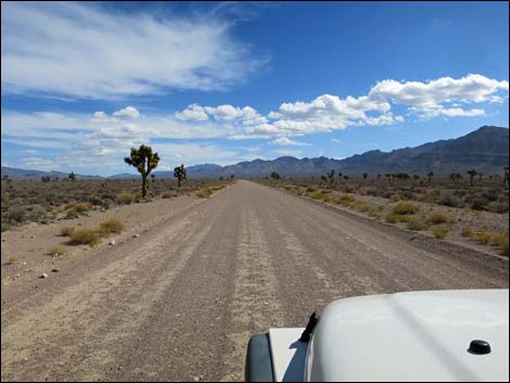
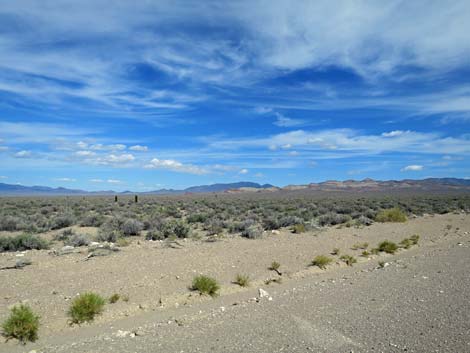
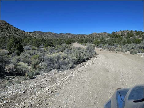
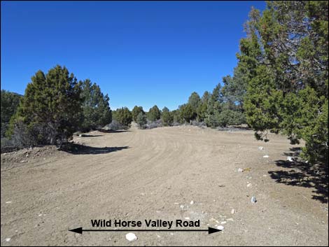
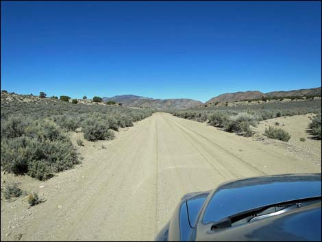
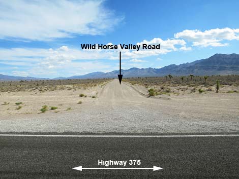 Wild Horse Valley Road (view N from Highway 375) |
Watch Out Other than the standard warnings about driving in the desert, ...this road is pretty safe, but be sure that your vehicle is in good working condition, carry plenty of water (radiator and drinking), and pack a lunch. Always drive carefully; even though the road is well maintained, there are occasional hazards such as errant boulders in the roadway. This road can get quite muddy in wet weather. While out, please respect the land and the other people out there, and try to Leave No Trace of your passage. This road goes into remote areas, so be sure to bring the 10 Essentials. Cell phones don't work. |
 |
Getting to the Road Wild Horse Valley Road is located in the southwest part of Basin and Range National Monument, about 2 hours (129 miles) northeast of Las Vegas driving directly, or about 25 minutes (22 miles) west of the intersection of Highway 93 and Highway 318, but off Highway 375. From Las Vegas, drive north on Interstate-15 21 miles to Highway 93. Turn left onto Great Basin Highway (Hwy 93) and top off the gas tank if necessary. Drive north past the towns of Alamo (95 miles from Las Vegas) and Ash Springs (102 miles) to the intersection of Highways 93 and 318 (107 miles). Gasoline is available in Alamo, Ash Springs, Rachael, and Lund. Turn left onto Highway 318 and drive west 0.6 miles to a fork in the highway. Stay left (straight) onto Highway 375. Continue west, over Hancock Summit, and down into Tikaboo Valley. At about 21.4 miles out, turn right onto Silver Tank Road, which is Wild Horse Valley Road. |
 |
The Road From Highway 375 (Table 1, Site 1581), Wild Horse Valley Road runs northeast as "Silver Tank Road." At about 0.9 miles out, the road bends left to run due north, passing two side roads along the way, and at 3.7 passes on old corral. At about 4.7 miles out, the road bends a bit to the right, passes a bare patch of desert on the right, and now runs a bit east of north. Another slight bend at 5.1 miles out, and the road trends northeast. In another mile (6.1 miles out), the road bends back to the left, and then at 7.3 miles out, the road passes ranching equipment on the left and a minor side road to the right. Now approaching the mountains, a minor side road forks left at 8.0 miles out. Shortly, at 8.7 miles out, the road suddenly makes hard bends left and right, then cuts across the slopes heading due east. |
 |
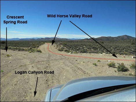
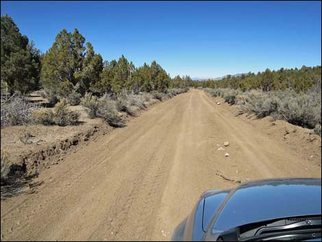
Winding over hills and through washes while heading generally northeast, the road passes a side road (10.4 miles out) to the right. This road leads to what is left of the historic Crystal Spring lumber mill. Staying left at the fork, the main road runs north to a major intersection (Site 1582; 10.6 miles out). Here, Wild Horse Road stays left, Logan Canyon Road continues straight over the mountains and down to Highway 318, and the hard right leads to Crystal Spring lumber mill. Continuing up into the canyon, the road winds a bit, but generally heads north gaining elevation. By about 12 miles out, Utah Juniper are fairly thick on the hillsides, and by 14 miles out, the Utah Juniper and Singleleaf Pinyon form a regular forest (Pinyon-Juniper Woodlands). At 15.8 miles out, a side road branches off to the left with a bit of a parking area on the right. This road runs out 2 miles to a well and old corral. |
 |
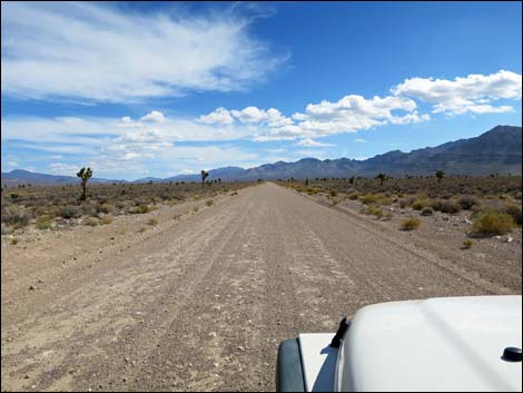
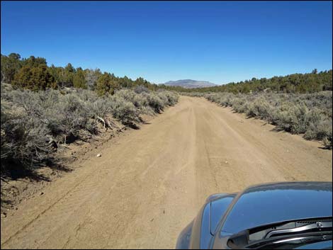
At about 16.7, Wild Horse Valley Road runs over a low rise, the highpoint on this road, and starts down into Lost Horse Valley. At about 18.2 miles out, a minor side road forks to the right. This side road runs east, climbs over the Golden Gate Range, and runs down to Mail Summit Road. A short distance ahead, a well-used road branches to the left (18.6 miles out). This side road runs west, over the south end of the Worthington Range, and drops into Tikaboo Valley. Now dropping in elevation and falling below the tree line, the road runs out into a vast expanse of Big Sagebrush, the road passes a minor road to the left (20.1 miles out) and another to the left (20.5 miles out). Both of these roads run west into a network of minor roads up towards the base of the mountains. |
 |
Continuing, Wild Horse Valley Road runs down the channel cut by Cold Springs Wash, but never is the road rocky or sandy. By about 22.5 miles out, the sides of the wash have laid back providing grand views out across lower Wild Horse Valley. At 22.8 miles out, the road passes a cleared area, on the left, that would make for a nice winter campsite (open with grand views, but no shade). At 23.0 miles out, a major side road (Site 1583) branches to the left. This road runs west and forks, with one fork running north into Garden Valley, and the other running west over the mountains into Tikaboo Valley. Shortly, at 23.5 miles out, Wild Horse Valley Road dead-ends into Mail Summit Road (Site 0889). Here, drivers can turn left to head north into Garden Valley, or they can turn right and head east through Murphy Gap into Coal Valley and eventually the pavement at (Highway 318) near Hiko. |
 Two young Joshua Trees north of the main population (view NW) |
 Interested banded hills (view NW) |
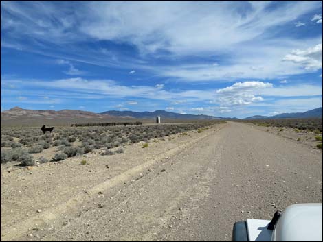 Approaching cows and water tank (view N) |
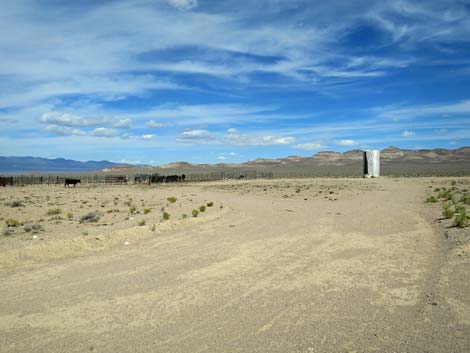 Cows and water tank (view NW) |
 Crossing a fenceline (view N) |
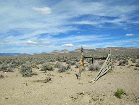 Fenceline (view NW from Wild Horse Valley Road) |
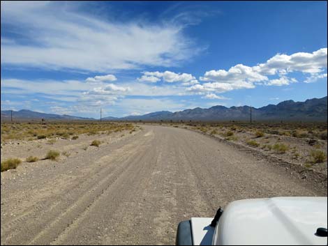
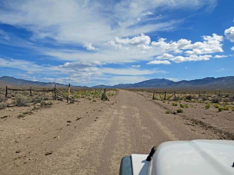
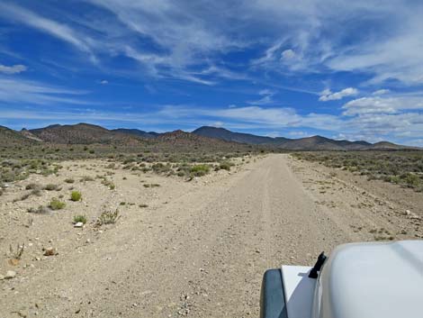
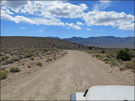
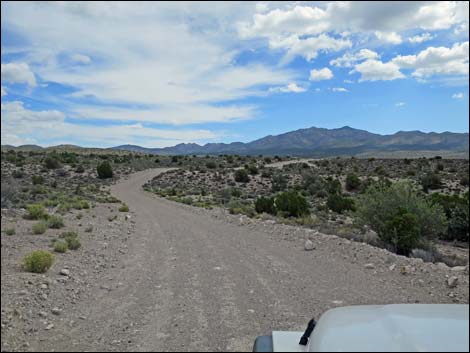
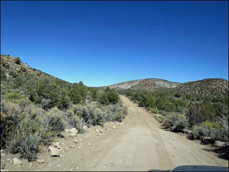
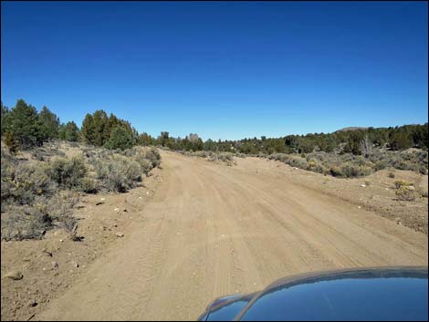
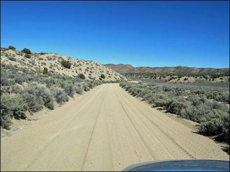
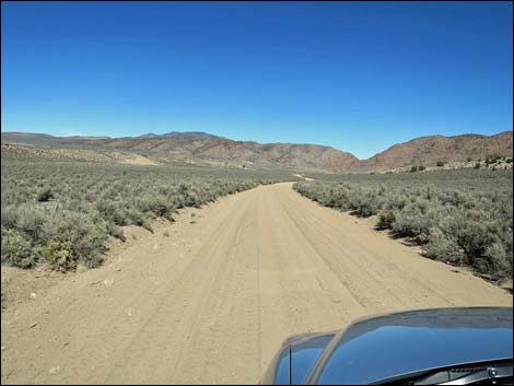
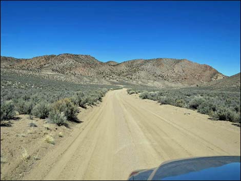
 Wild Horse Valley Road (view N) |
 Another water tank off in the desert (view NW) |
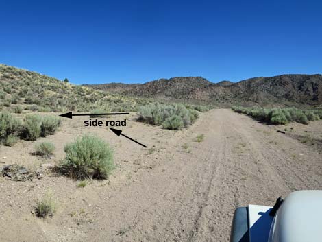
 Minor side road left (view N) |
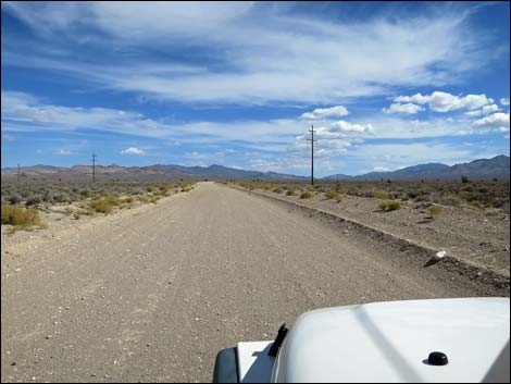
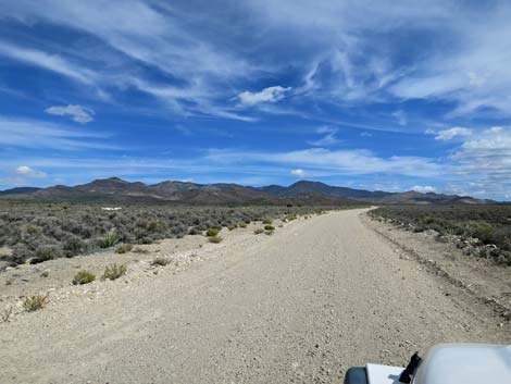
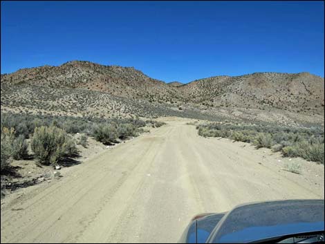
 Long, straight road begins to curve (view NE |
 Surprising sharp curve left (view NE) |
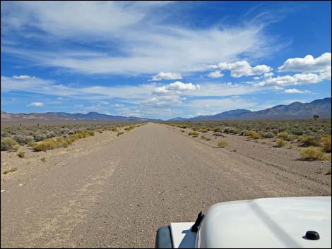
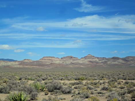
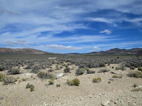
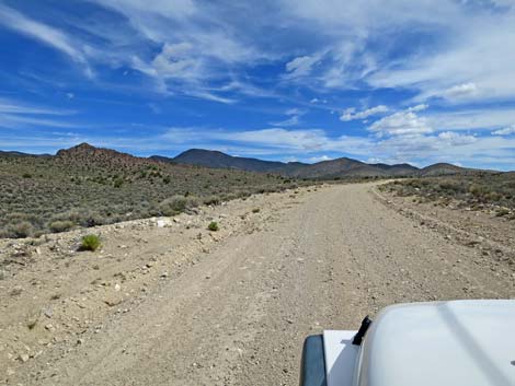
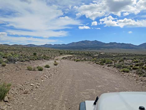
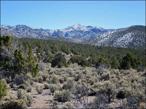
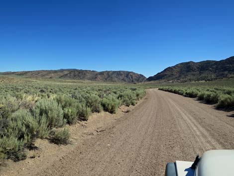
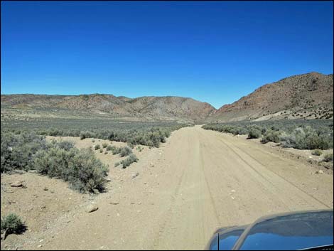
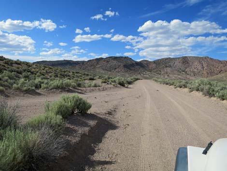
 Grand scenery (view N) |
 Grand scenery (view N; zoom) |
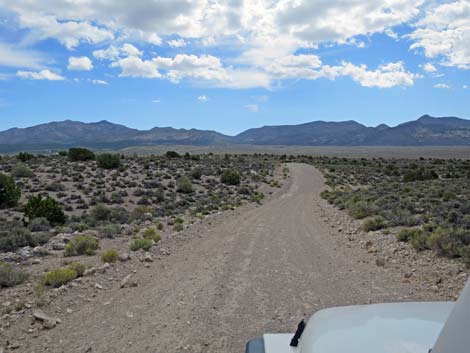
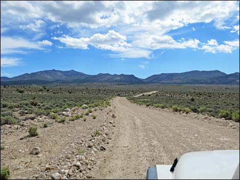
 Windy road runs more to the east (view E) |
 |
 |
 |
 |
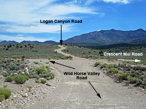 Wild Horse at Logan Canyon and Crescent Mill roads (view E) |
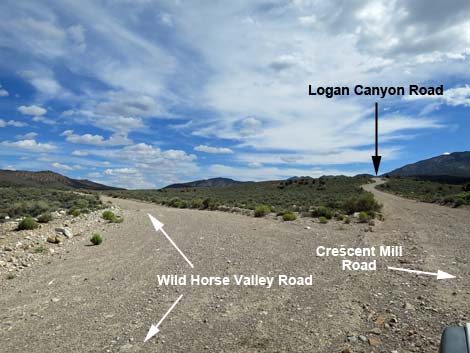 Wild Horse Valley Road at Logan Canyon Road (view NE) |
 Wild Horse Valley Rd at Logan Canyon Rd (view W from Logan Rd) Wild Horse Valley Rd at Logan Canyon Rd (view W from Logan Rd) |
 Wild Horse Valley Road, just north of Logan Canyon Road (view N) |
 Climbing through Mojave Desert vegetation (view N) |
 Climbing through Mojave Desert vegetation (view N) |
 Climbing into the Pinyon-Juniper Woodland (view N) |
 Right of road is now boundary of Basin & Range Nat. Mon. (view N) |
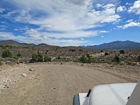
 Traversing gentle terrain (view N) |
 Minor side road left (view N) |
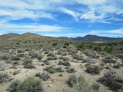
 Pinyon-Juniper Woodland (view N) |
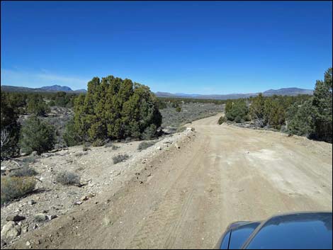
 Mt. Irish in the distance (view SE) |
 Side road to a well and old coral (view N) |
 Side road (view W from Wild Horse Valley Road) |
 Approaching the highpoint on the road (view N) |
 Pinyon-Juniper Woodland (view N) |
 Pinyon-Juniper Woodland (view N) |
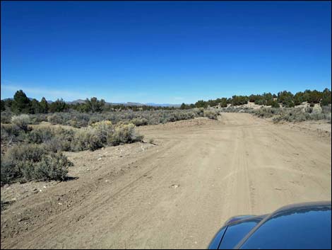
 Golden Gate Range in the distance (view N) |
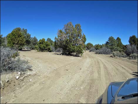
 Approaching fork in the road (view N) |
 Fork; main road stays left (view N) |
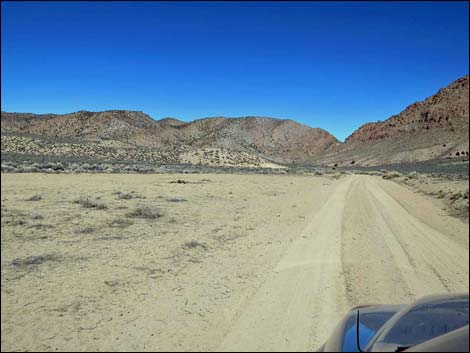
 Descending into Wild Horse Valley (view N) |
 Approaching side road to the left (view N) |
 Both sides of road are now in Basin & Range Nat. Mon. (view N) |
 Road to Sand Spring Valley (view W from Wild Horse Valley Rd) |
 |
 |
 Minor side road left (view N) |
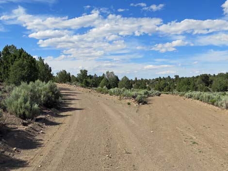
 Running along Cold Creek Wash (view N) |
 |
 |
 |
 |
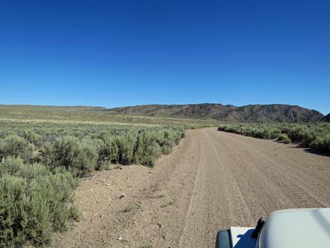 Grand scenery in this area (view N) |
 Winter shepherd's camp (view N) |
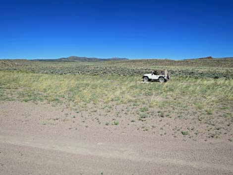 Campsite with room to spread out |
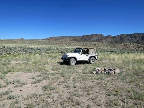 Campsite with room to spread out |
 Side road to Sand Spring Valley (view N) |
 Road to Sand Spring Valley (view SW from Wild Horse Valley Rd) |
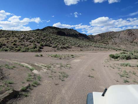
 North point of triangular intersection (view N) |
 Continuing towards Murphy Gap (view N) |
 Approaching Mail Summit Road (view N) |
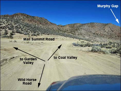 Triangle intersection at Mail Summit Road (view N) |
 Triangle intersection at Mail Summit Road (view N) |
 More to come ... |
Table 1. Highway Coordinates and Distances based on GPS Data (NAD27). Download highway GPS waypoints (gpx) file.
| Wpt. | Location | Latitude (N) | Longitude (W) | Elevation (ft) | Point-to-Point Distance (mi) | Cumulative Distance (mi) | Verified |
|---|---|---|---|---|---|---|---|
| 1581 | Hwy 375 at Wild Horse Rd | 37.47648 | 115.51059 | 4,616 | 00.0 | 00.0 | Yes |
| 1582 | Wild Horse Rd at Logan Cyn Rd | 37.61120 | 115.46137 | 5,788 | 10.6 | 10.6 | Yes |
| 1583 | Wild Horse Rd at side road | 37.78134 | 115.44377 | 5,828 | 12.4 | 23.0 | Yes |
| 0889 | Wild Horse Rd at Mail Summit Rd | 37.78768 | 115.44329 | 5,820 | 00.5 | 23.5 | Yes |
Happy Hiking! All distances, elevations, and other facts are approximate.
![]() ; Last updated 240324
; Last updated 240324
| Basin and Range | Backroads | Hiking Around Las Vegas | Glossary | Copyright, Conditions, Disclaimer | Home |