Backroads Around Las Vegas, Basin and Range National Monument
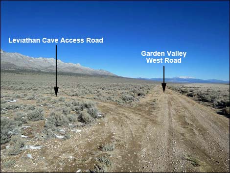
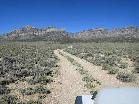
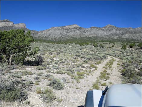
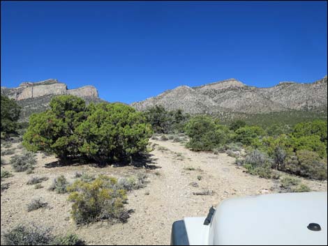
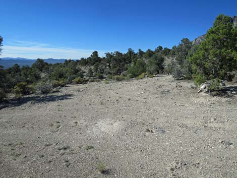
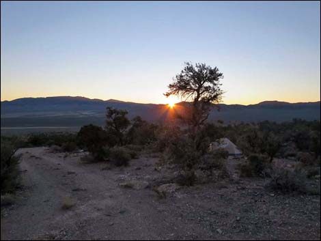
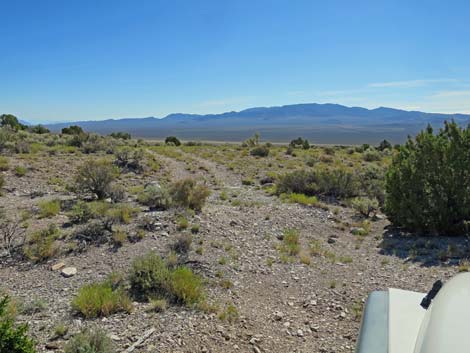
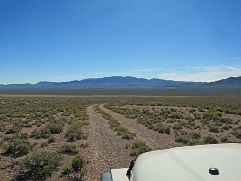
 Southbound Garden Valley West Road at Leviathan Cave Road |
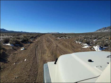
Overview Note: October 2022. The road is in standard condition. Passable in a 2WD-HC pickup. Lots of large rocks. Leviathan Cave Road runs southwest 1.5 miles from Garden Valley West Road to the Leviathan Cave trailhead at the edge of the Worthington Mountains Wilderness Area. This 2-track road normally is suitable for 2WD vehicles lower down, but it gets quite bumpy higher up, but 4WD normally is not needed. For hikers planning to visit Leviathan Cave, this area is too remote to do it in a day, and there are three places along the road to camp: Lower Camp (0.4 miles out), Upper Camp (0.6 miles out), and Trailhead Camp (1.5 miles out). |
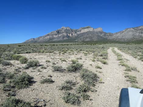
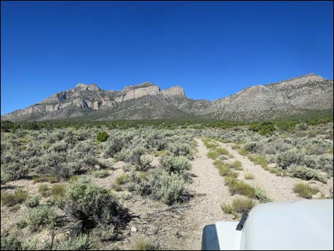
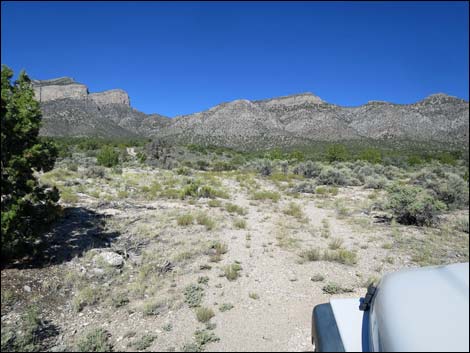
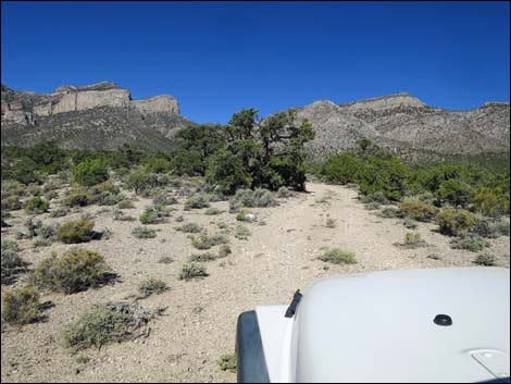
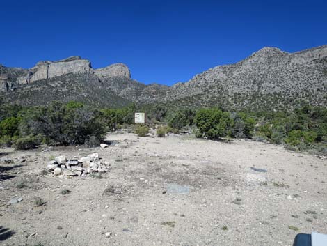
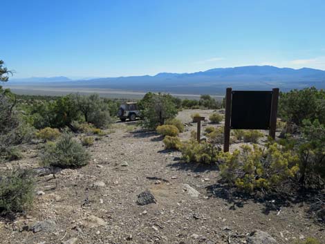
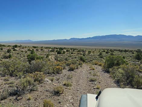
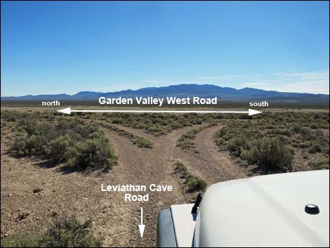
 Northbound Garden Valley West Road at Leviathan Cave Road |
Watch Out Other than the standard warnings about driving in the desert, ... this road is pretty safe, but be sure your vehicle is in good working condition, carry plenty of water (radiator and drinking), and pack a lunch. Always drive carefully as there are occasional hazards such as potholes and washouts. In 2WD vehicles, drivers probably should stop at the upper campsite area, 0.6 miles out, and certainly should not try to pass the wash at 0.9 miles out without inspecting it first. While out, please respect the land and the other people out there, and try to Leave No Trace of your passage. This road goes into remote areas, so be sure to bring the 10 Essentials. Cell phones don't work. |
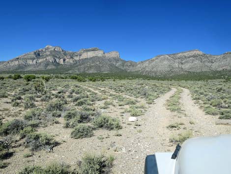
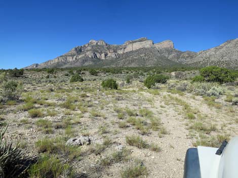
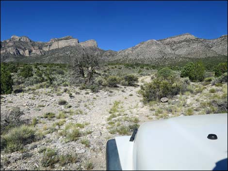
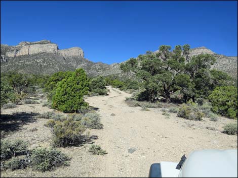
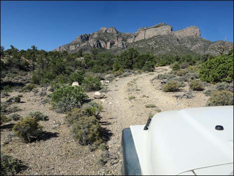
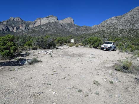
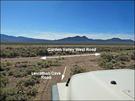
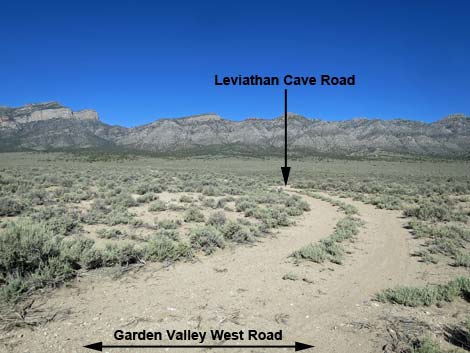 Leviathan Cave Road (view W from Garden Valley West Road) |
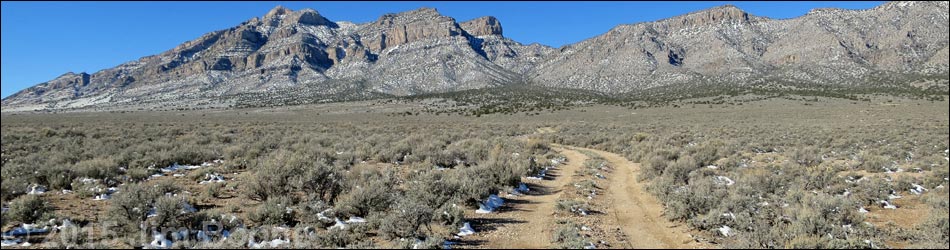
Getting to the Road Leviathan Cave Road is located in the west-central portion of Basin and Range National Monument, about 3 hours (145 miles) north of Las Vegas driving directly, or about 1-1/4 hours (39 miles) northwest of the intersection of Highway 93 and Highway 318. From Las Vegas, drive north on Interstate-15 for 21 miles to Highway 93. Turn left onto Great Basin Highway (Hwy 93) and top off the gas tank if necessary. Drive north through the towns of Alamo (95 miles from Las Vegas) and Ash Springs (102 miles) to the intersection of Highway 93 and Highway 318 (107 miles out). Gasoline is available in Alamo, Ash Springs, Rachael, and Lund. Drive north on Highway 318 to Mail Summit Road. Turn left onto Mail Summit Road and drive west 25.5 miles to a 4-way intersection with Garden Valley South Road. Turn left and drive southwest 3.4 miles to at T-intersection with Garden Valley West Road. Turn right and drive north 0.5 miles to Leviathan Cave Road, on the left. |
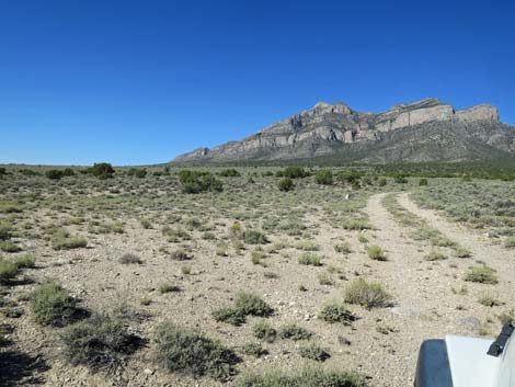
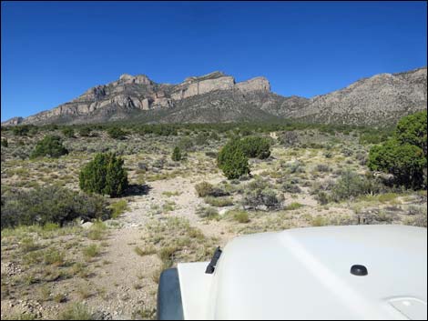
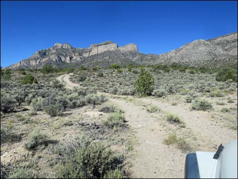
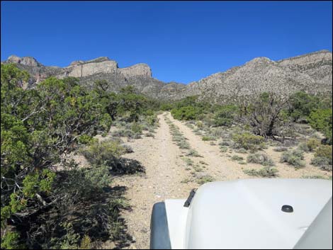
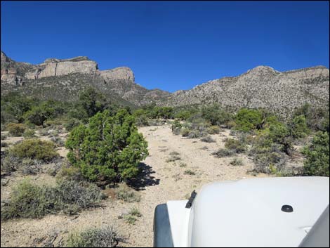
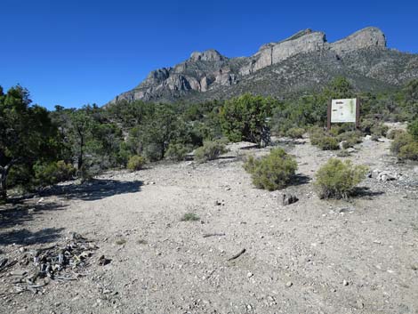
 Leviathan Cave Road (view SW) |
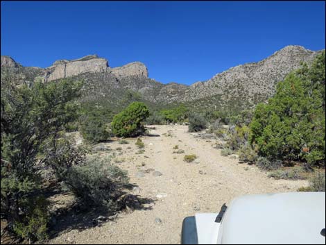
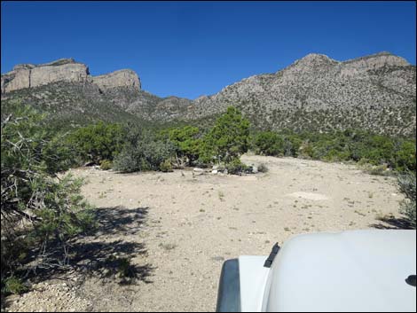
The Road From Garden Valley West Road, Leviathan Cave Road runs southwest and up the bajada. Initially, the 2-track road is fairly good, and the sagebrush growing on the hump are fairly short. Running uphill, the road passes Lower Campsite (0.4 miles out) with parking for 2 vehicles on the left. Continuing uphill, the road passes a short side road to the left that serves as Upper Campsite with parking for a few more vehicles. Beyond Upper Campsite, the road becomes more rocky, but it still is suitable in 2WD-HC vehicles. The road drops into and crosses a wash (0.9 miles out) and climbs rather steeply out the other side. Climbing somewhat steeply and rounding tight turns hemmed in by trees and shrubs, the road eventually arrives at the Leviathan Cave Trailhead, 1.5 miles out, with parking for a several vehicles and not-the-best-space for tents. The route to Leviathan Cave starts behind signs straight off the end of the road. |
 Lowest Campsite (view SW) |
 Spur road left into another camp area (view W) |
 Campsite (view SW) |
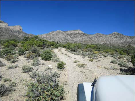
 Leviathan Cave Road (view SW) |
 Leviathan Cave Road (view SW) |
 Last parking before dipping into wash (view W) |
 Road dips into wash (view W) |
 Road runs up the wash (view W) |
 Road leaves the wash (view W) Road leaves the wash (view W) |
 Narrow road, but fairly easy (view W) |
 |
 |
 In places, the road is confined between trees (view W) |
 In places, the road is confined between trees (view W) |
 Leviathan Cave Road (view W) |
 Climbing somewhat steeply (view W) |
 Rocks in the road don't really show in the photos (view W) |
 Rocks in the road don't really show in the photos (view W) |
 Entering the trailhead camp area |
 Campsite on the left (view S) |
 End of the road by trailhead sign (view W) |
 Trailhead parking (view W) |
Leviathan Cave Trailhead and Camping Area
 Leviathan Cave Trailhead parking (view SW) |
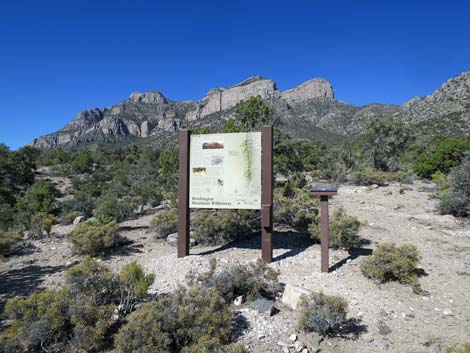 Leviathan Cave Trailhead sign (view W) |
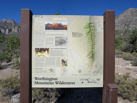 Leviathan Cave Trailhead sign (view W) |
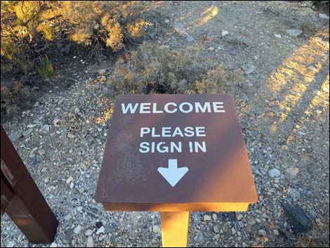 Leviathan Cave sign-in register (view W) |
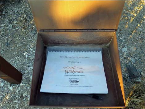 Leviathan Cave sign-in register (view W) |
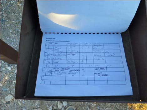 Leviathan Cave sign-in register (view W) |
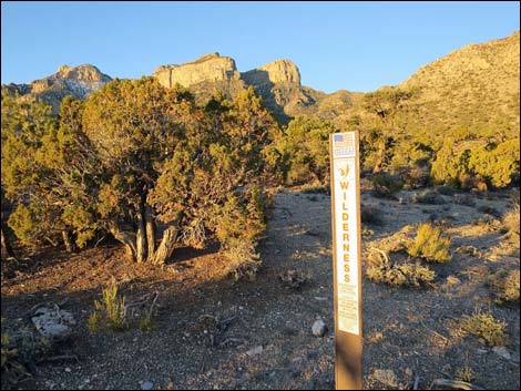
 Wilderness area survey marker |
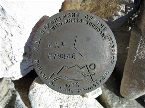 Wilderness area survey marker |
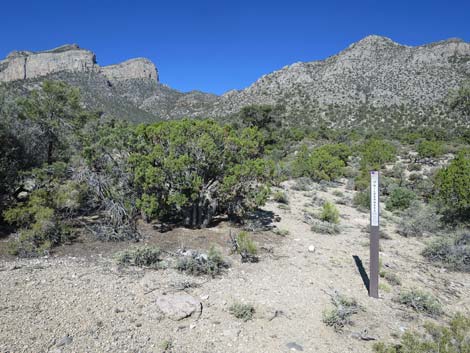 On trail, Wilderness area boundary sign |
 On trail, Wilderness area boundary sign |
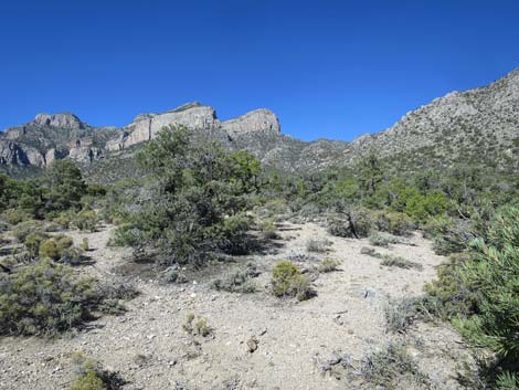 The trail is faint, but look carefully and follow along (view W) |
 The trail is faint, but look carefully and follow along (view W) |
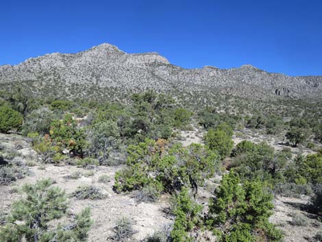
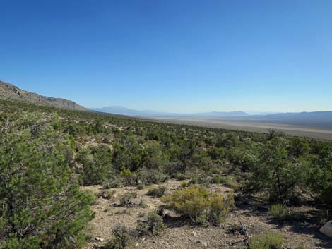 Grand scenery up Garden Valley (view N) |
 Returning to the trailhead (view NE) |
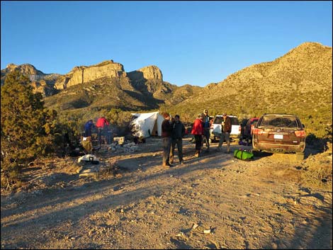
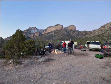 Leviathan Cave Trailhead camping (view SE) |
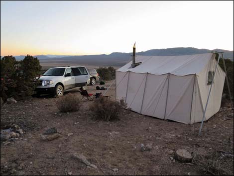 Trailhead camping |
 |
 |
 |
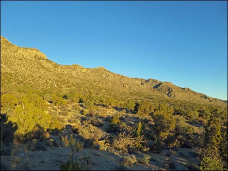 |
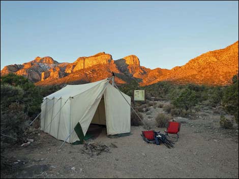
 Sunrise on the high peaks -- golden colors |
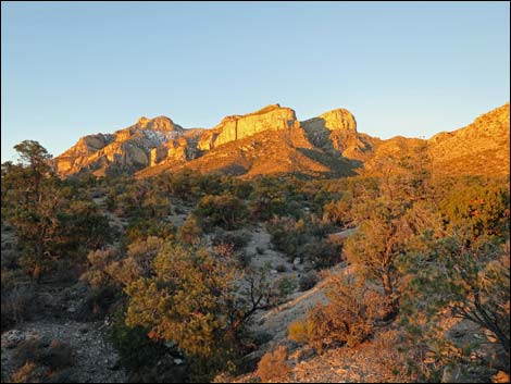
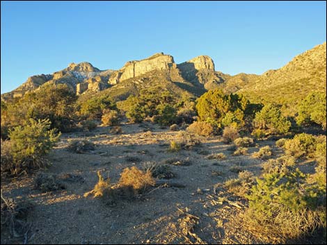 Fifteen minutes past sunrise on the high peaks -- normal colors |
Descending down Leviathan Cave Road
 |
 |
 |
 |
 Descending Leviathan Cave Road (view E) |
 Leviathan Cave Road at triangle intersection (view E) |
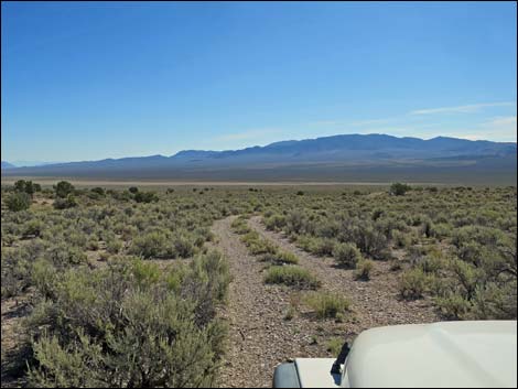
 Leviathan Cave Rd at Garden Valley West Rd southbound (view E) |
 More to come ... |
Table 1. Highway Coordinates based on GPS data (NAD27; UTM Zone 11S). Download Highway GPS Waypoints (*.gpx) file.
| Site | Location | UTM Easting | UTM Northing | Latitude (N) | Longitude (W) | Elevation (ft) | Verified |
|---|---|---|---|---|---|---|---|
| 0886 | Hwy 318 at Mail Summit Rd | 658154 | 4168556 | 37.65240 | 115.20720 | 4,125 | Yes |
| 0887 | Mail Summit Rd at Mail Summit | 651286 | 4173890 | 37.70161 | 115.28391 | 5,686 | Yes |
| 0888 | Mail Summit Rd at Coal Valley Rd | 648526 | 4180753 | 37.76390 | 115.31380 | 5,208 | Yes |
| 0889 | Mail Summit Rd W of Murphy Gap | 637066 | 4183185 | 37.78760 | 115.44340 | 5,820 | Yes |
| 0891 | Garden Valley Rd at Leviathan Rd | 626763 | 4189867 | 37.84929 | 115.55920 | 5,787 | Yes |
| 0892 | Leviathan Rd End | 624615 | 4189188 | 37.84348 | 115.58373 | 6,349 | Yes |
| 1118 | Leviathan Rd at Camp | 625840 | 4189618 | 37.84718 | 115.56973 | 5,964 | Yes |
| 1552 | Mail Summit Rd at Garden Valley South Rd | 631866 | 4190452 | 37.85384 | 115.50111 | 5,946 | Yes |
| 1553 | Garden Valley So. Rd at Garden Valley West Rd | 626805 | 4189057 | 37.84199 | 115.55887 | 5,781 | Yes |
Happy Hiking! All distances, elevations, and other facts are approximate.
![]() ; Last updated 240324
; Last updated 240324
| Basin and Range | Backroads | Hiking Around Las Vegas | Glossary | Copyright, Conditions, Disclaimer | Home |