Backroads Around Las Vegas, Basin and Range National Monument
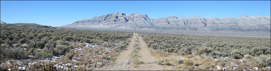
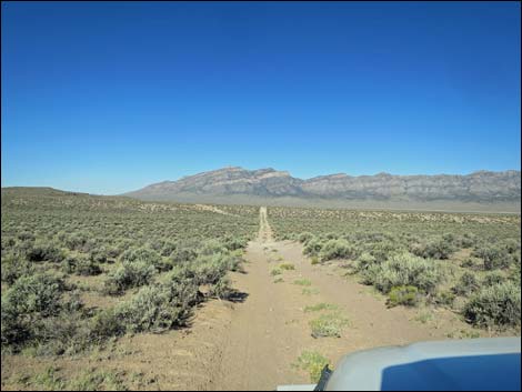
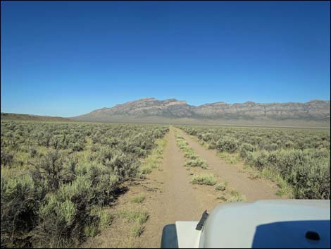
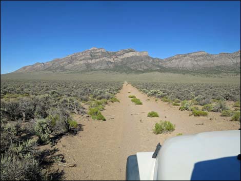
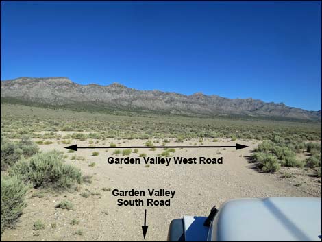
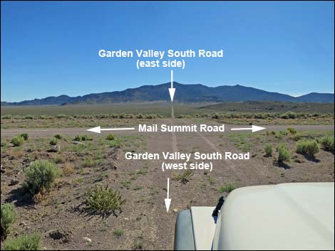
 Mail Summit Road at Garden Valley South Road (view N) Mail Summit Road at Garden Valley South Road (view N) |
Overview Garden Valley South Road is a 5-mile-long 2-track road that spans the south end of Garden Valley. The road runs from the Golden Gate Range on the east side of Garden Valley 2 miles westward to Mail Summit Road, then continues west 3 miles to the base of the Worthington Mountains and ends at Garden Valley West Road. Normally suitable for 2WD vehicles, Garden Valley South Road is a 2-track road that normally can be driven at 25-35 mph. In one section, about 0.2 miles west of Mail Summit Road, the 2-track crosses a wash that can be a bit bumpy. This is the preferred route to Leviathan Cave from the south. |
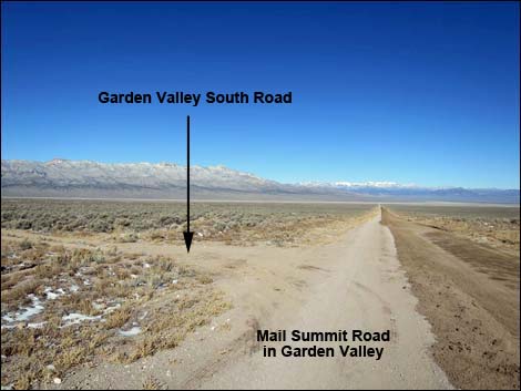
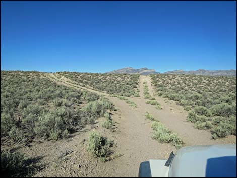
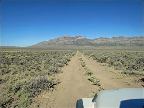
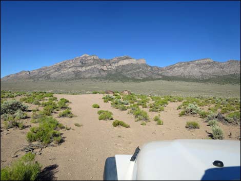
 Garden Valley South Road (view W from Mail Summit Road) |
Watch Out Other than the standard warnings about driving in the desert, ... this road is pretty safe, but be sure your vehicle is in good working condition, carry plenty of water (radiator and drinking), and pack a lunch. Always drive carefully as there are occasional hazards such as potholes and washouts. While out, please respect the land and the other people out there, and try to Leave No Trace of your passage. This road goes into remote areas, so be sure to bring the 10 Essentials. Cell phones don't work. |
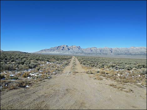
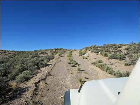
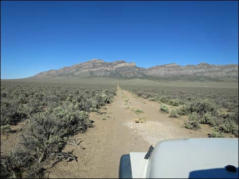
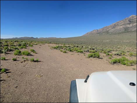
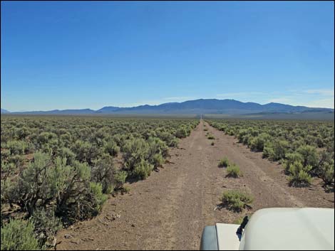
 Fairly straight and smooth 2-track road (view W) |
Getting to the Road Garden Valley South Road is located in the south-central portion of Basin and Range National Monument, about 3 hours (142 miles) north of Las Vegas driving directly, or about 1-1/4 hours (35 miles) northwest of the intersection of Highway 93 and Highway 318. From Las Vegas, drive north on Interstate-15 for 21 miles to Highway 93. Turn left onto Great Basin Highway (Hwy 93) and top off the gas tank if necessary. Drive north through the towns of Alamo (95 miles from Las Vegas) and Ash Springs (102 miles) to the intersection of Highway 93 and Highway 318 (107 miles out). Gasoline is available in Alamo, Ash Springs, Rachael, and Lund. Drive north on Highway 318 to Mail Summit Road. Turn left onto Mail Summit Road and drive west 25.5 miles to a 4-way intersection with Garden Valley South Road. |
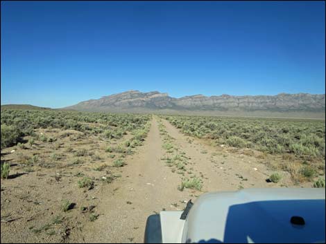
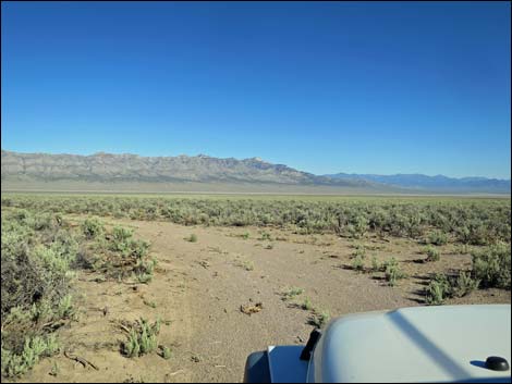
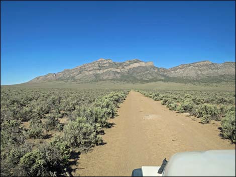
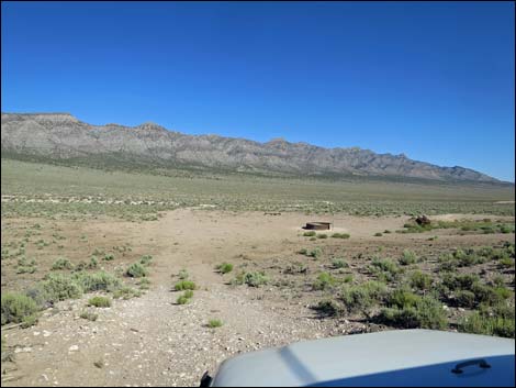
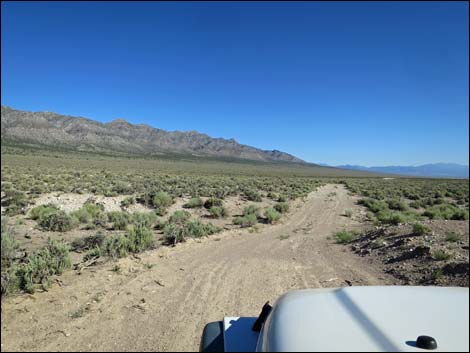
 Road drops to cross a wash (view W) |
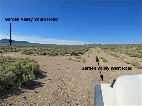
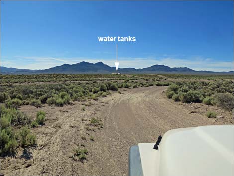
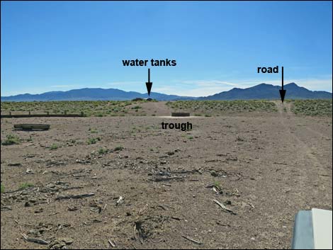
The Road From Mail Summit Road (Table 1, Site 1552), Garden Valley South Road stretches east and west. Sagebrush growing on the center hump might brush the underside of the vehicle and present a pleasing aroma, but they shouldn't damage the undercarriage. Turning right, Garden Valley South Road runs northeast to the base of the Golden Gate Range, passing a watering trough and ending at Sharp Spring.Turning left onto Garden Valley South Road, the road runs southwest and dips through a wash (0.2 miles out) with a steep climb out the far side. Fortunately, this can be bypassed using a loop to the left. Beyond there, the road runs fairly smooth and straight until cresting a low hill (3.2 miles out) where watering troughs become visible below. Staying left around the troughs, the road ends at a T-intersection (Site 1553) with Garden Valley West Road (3.4 miles out). |
 Across the wash, steep and straight or curve around (view W) |
 Curving around (view SW) |
 Curving back around (view NW) |
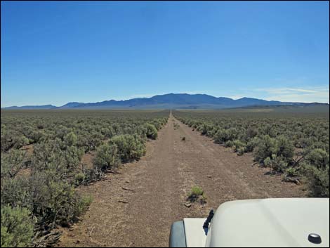
 The road runs straight and smooth again (view W) |
 |
 |
 |
 |
 Approaching edge of low ridge to overlook watering troughs |
 Low ridge to overlook watering troughs |
 The road passes the troughs to the left (view NW) |
 The road bends right to head north (view N) |
 Garden Valley South Road at Garden Valley West Road (view NW) |
 More to come ... |
Garden Valley South Road - Eastbound
 Garden Valley West Road at Garden Valley South Road (view S) |
 Garden Valley South Road (view E) |
 Livestock watering station; road stays right then turns left (view E) |
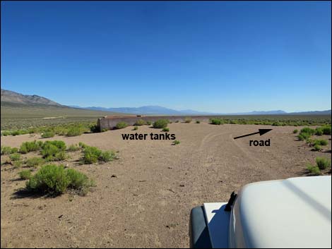 At water tanks, road runs right (view N) |
 Garden Valley South Road (view E) |
 Garden Valley South Road (view E) |
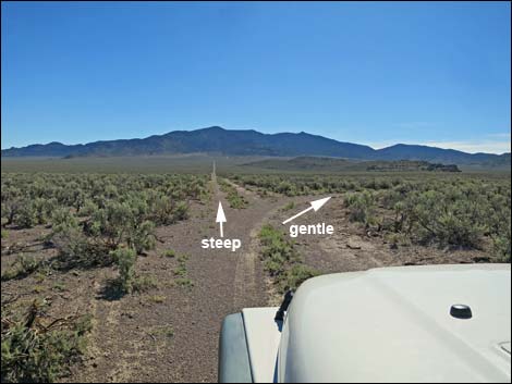 Road forks: straight is steep, right is gentle ramp (view E) |
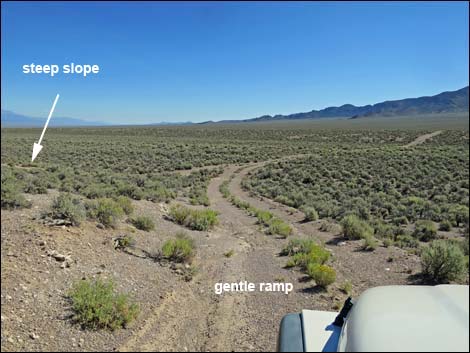 Gentle ramp (view NE) |
 Garden Valley South Road at Mail Summit Road (view NE) |
More to come ... |
Table 1. Highway Coordinates and Distances based on GPS Data (NAD27). Download highway GPS waypoints (gpx) file.
| Wpt. | Location | Latitude (N) | Longitude (W) | Elevation (ft) | Point-to-Point Distance (mi) | Cumulative Distance (mi) | Verified |
|---|---|---|---|---|---|---|---|
| 1552 | Mail Summit Rd at Garden Valley South Rd | 37.85384 | 115.50111 | 5,946 | 0.00 | 0.00 | Yes |
| 1553 | Garden Valley S Rd at Garden Valley W Rd | 37.84199 | 115.55887 | 5,781 | 3.35 | 3.35 | Yes |
Happy Hiking! All distances, elevations, and other facts are approximate.
![]() ; Last updated 240324
; Last updated 240324
| Basin and Range | Backroads | Hiking Around Las Vegas | Glossary | Copyright, Conditions, Disclaimer | Home |