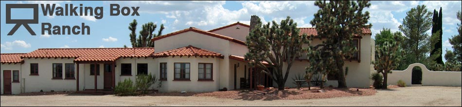
Walking Box Ranch Area Map. Click to enlarge ranch area. The area currently is owned by the U.S. Bureau of Land Management (BLM) and managed by University of Nevada at Las Vegas (UNLV) Public Lands Institute. The area is watched by a caretaker, and three law enforcement officers live onsite in travel trailers. The site is available for researchers, but otherwise it is closed to the public until the old buildings are restored.
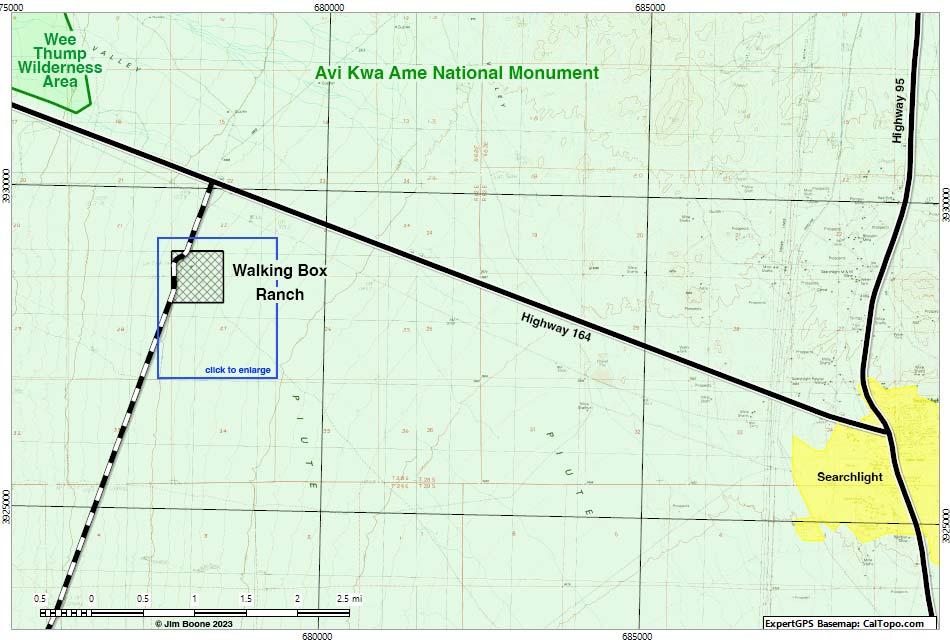
Note: Map based on USGS 7.5-minute topo map, which may have red grid lines and various numbers. North is at the top. Grid is UTM NAD27 CONUS. Roads are black (solid = paved; dashed = unpaved; width implies quality). Trails and routes are red (solid = main; dashed = adjacent or alternate). Washes, streams, and lakes are blue (solid = permanent; dashed = intermittent). National Monument Areas (boundaries dash-dot green, fill light green) based on BLM data. Wilderness Areas (boundaries solid green, fill light green) based on BLM data. Urban areas (yellow) based on Google Earth (7/2022) image. Private land (boundaries solid gray, fill crosshatch gray) based on NPS data. Click inside blue rectangles to enlarge those sections of the map.
![]() ; Last updated 231204
; Last updated 231204
| Walking Box Ranch | Ranch Area Map | Copyright, Conditions, Disclaimer | Home |