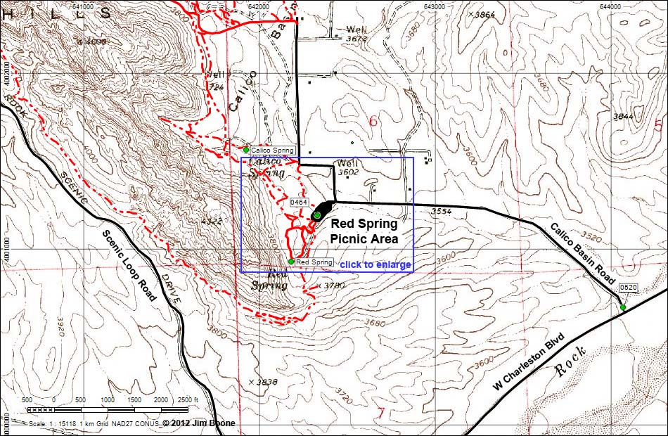
Note: Roads are black (solid = paved; dashed = unpaved). Trails and routes are red (solid = main; dashed = adjacent or alternate). Map based on USGS 7.5 minute topo map. North is at the top. UTM Grid is NAD27 CONUS.
| Calico Basin | Petroglyphs Around Las Vegas | Glossary | Copyright, Conditions, Disclaimer | Home |