Rock Art Around Las Vegas
Rock art is a precious resource. Please help protect and preserve these sites.
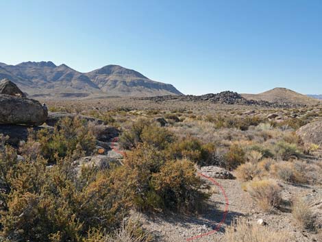
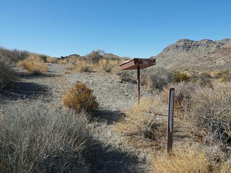
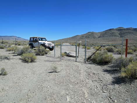
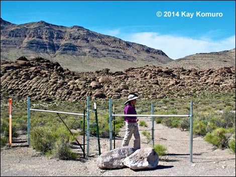 Hiker passing the man-gate (view NNW) |
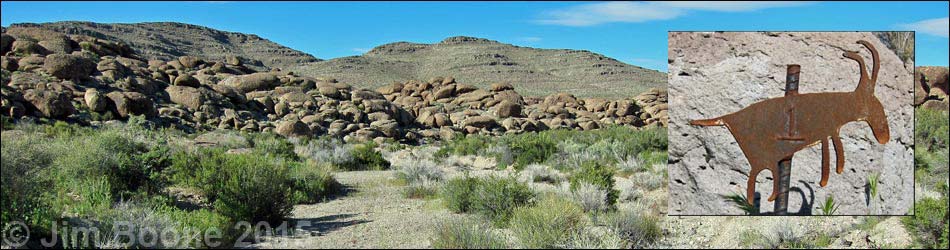
Overview The Crystal Wash Entrance rock art site is a desert area of volcanic-ash boulders along a sandy wash. Ancient people apparently traveled through this area without stopping for long periods of time, although there is a small shelter site here. While passing through, they flaked a few stones and etched the rocks mostly with abstract images that might represent maps or other travel guides. There is one possible humanoid figure. The hike is about 1 mile round-trip. The BLM and Lincoln County opened this area to the public, and Lincoln County printed a brochure with information about the site (including GPS coordinates) as part of their Get Primitive tourism campaign. Download the 57-page brochure from Lincoln County or snatch a copy of the entire guide or just the 2 pages about Crystal Wash Entrance. The BLM also printed a brochure for the area. Link to Wide Area Map or Site Map. |
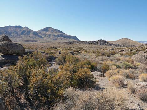
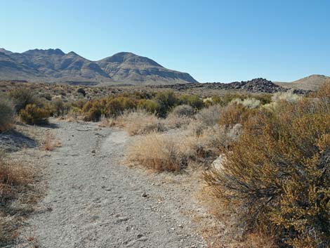
 Old road runs out to old parking area (view N) |
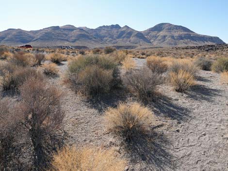
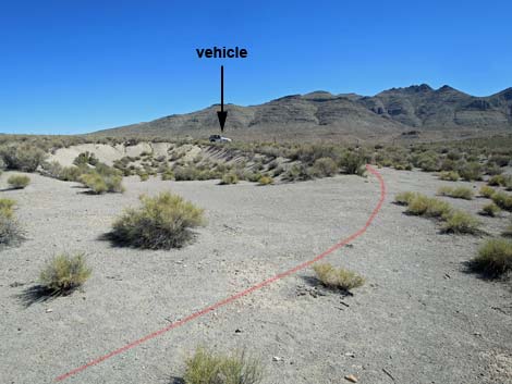
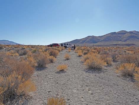
Location The Crystal Wash Entrance rock art site is located about 110 miles northeast of Las Vegas on Highway 93. From town, drive out to the Crystal Wash Entrance Trailhead Parking Area; park here; this is the trailhead. The last gasoline is at Ash Springs. Hours The area is always open, but it probably should be considered day-use only. There are no established camping areas here, but there are a couple at Crystal Wash Main. Fees None. |
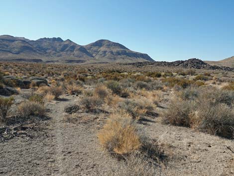
 Sign-in register overlooking wash (view NE) |
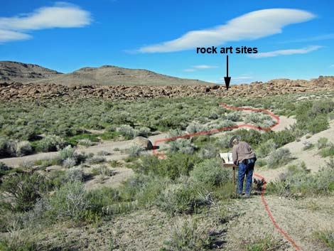
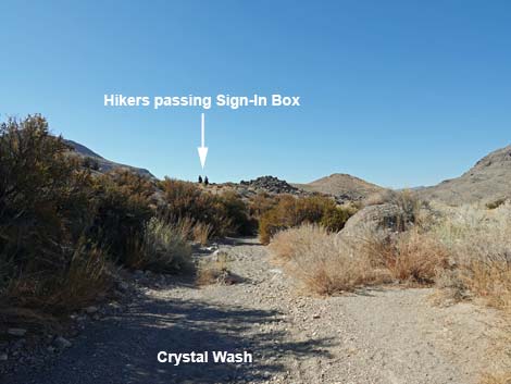
The Hike From the trailhead (Table 1, Waypoint 01), the trail runs through a V-shaped gap in the fence, then follows the old road northwest for a minute or so. At the edge of a wash, a metal sign-in register box (Wpt. 02) is the first evidence that this is the correct route. After signing in, the route drops into the sandy wash and heads upstream (northeast). There is no established trail, but when walking up the wash, petroglyphs start near the first big boulders on the right edge of the wash. Sharp-eyed hikers might first notice Marker #2 on the left side of the wash against the rock wall. Skipping Marker #2 for the moment and walking a bit farther upstream, hikers will notice Marker #1 at the base of boulders on the right edge of the wash. |
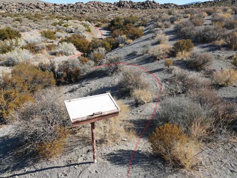 Sign-in register overlooking wash (view NE) |
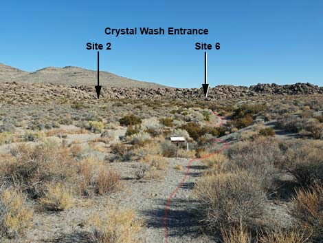
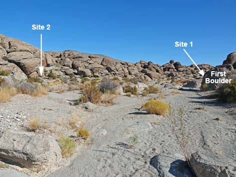
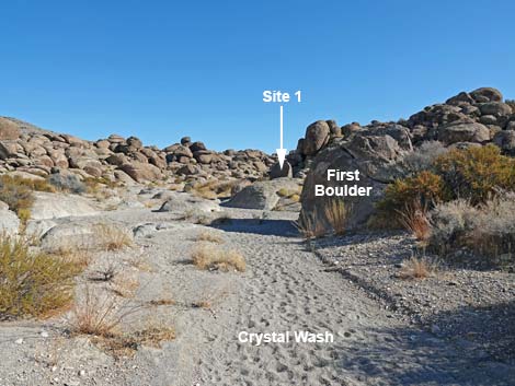
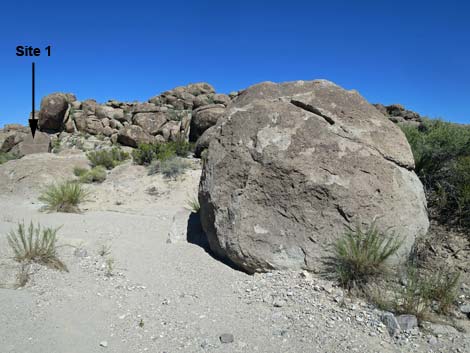
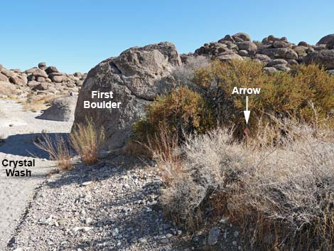
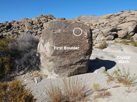
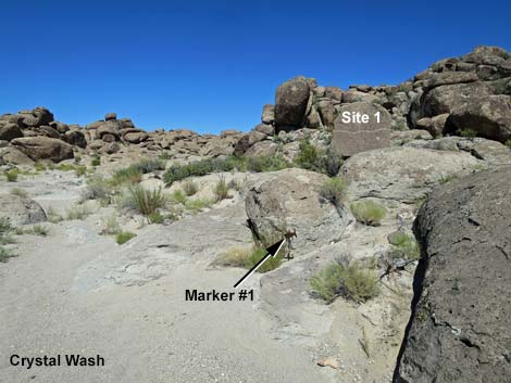
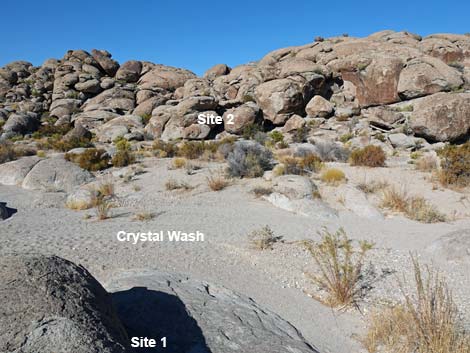
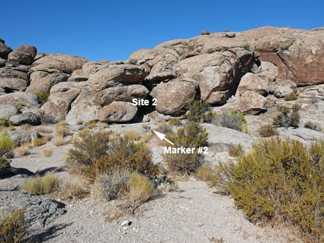
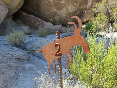
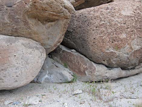
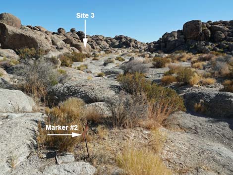
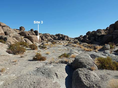
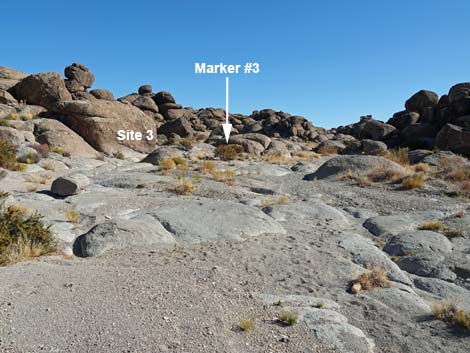
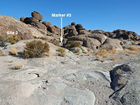
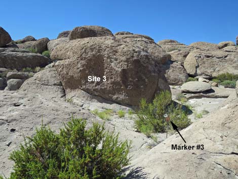
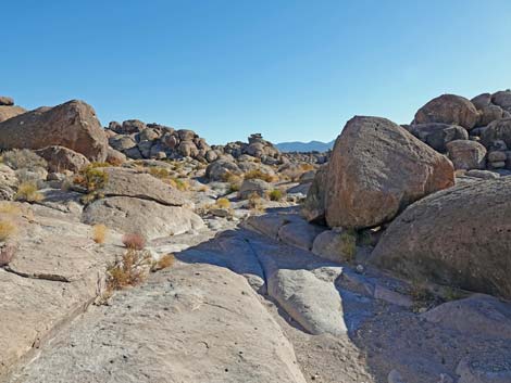
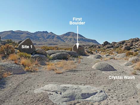
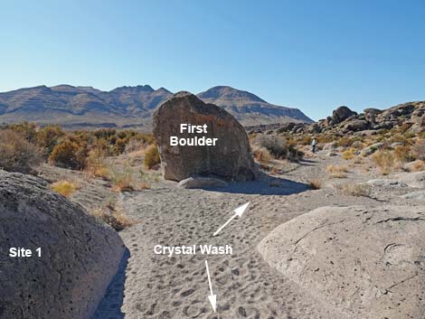
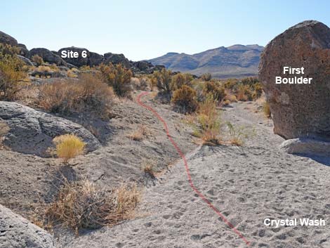
At about 0.22 miles out, just before arriving at Marker #1, however, notice the large boulder (Wpt. 03) on the right edge of the wash. The boulder, First Boulder, is unremarkable, but there is a small petroglyph on the back side (northeast side). Note that First Boulder marks the place where, on the return, the route exits the wash heading towards Sites 5 and 6. From First Boulder (Wpt. 03), the route continues a few more yards up Crystal Wash to Marker #1 (Wpt. 04), on the east edge of the sandy wash bottom. Site 1 is the flat-faced boulder behind (northeast of) the marker. From Site 1, the route crosses the wash (west) to Site 2. Nearing the west side of the wash, Marker #2 (Wpt. 05) comes into view near a cleft in the cliff. Site 2 is a single marked boulder tucked into the cleft in the cliff. Continuing up the wash, Marker #3 becomes visible in the wash on the left where the wash bends to the east. The marker is against an unmarked boulder, which is somewhat confusing. From Marker #3 looking west, petroglyphs are visible on the large Site 3 boulder (Wpt. 06). Another petroglyph is located around the boulder to the right. |
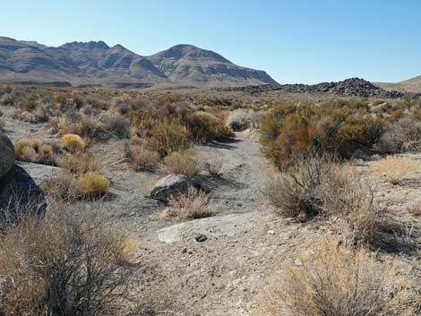
 Hiker signing in (view NE) |
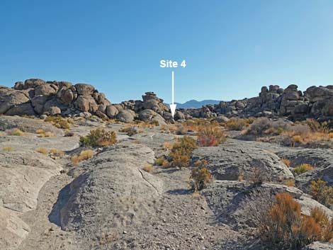
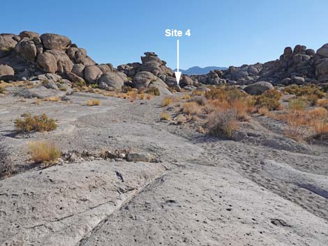
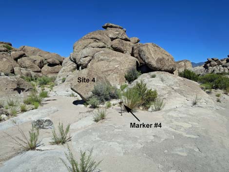
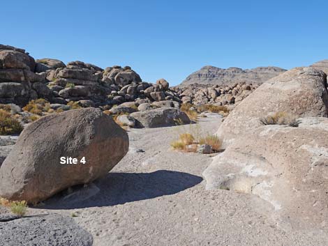
Continuing up the wash, Marker #4 becomes visible in the center of the wash at the point of confluence of two washes. Site 4 primarily is one boulder (Wpt. 07) on the point of the confluence that is marked on all sides. Adventuresome hikers might walk from Site 4 to the Crystal Wash Main Archeological Site using the hard route (left at the fork to Crystal Wash Main, Site 5) or the easy route (right at the fork to Crystal Wash Main, Site 3). The hard route might be a bit more interesting, as it requires scrambling over and under boulders in a narrow canyon -- and a bit of route finding. Continuing the Crystal Wash Entrance Loop, the route returns down Crystal Wash from Site 4 towards the trailhead. The route passes Sites 3, 2, and 1 back to First Boulder (Wpt. 03). From First Boulder (Wpt. 03), the route exits the wash left to run southeast along the base of the cliffs. The route passes an open area and continues towards the next rocky ridge. |
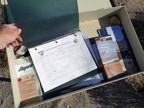 Open sign-in box with register and brochures |
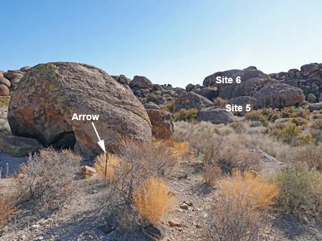
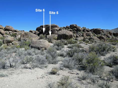
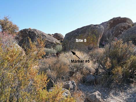
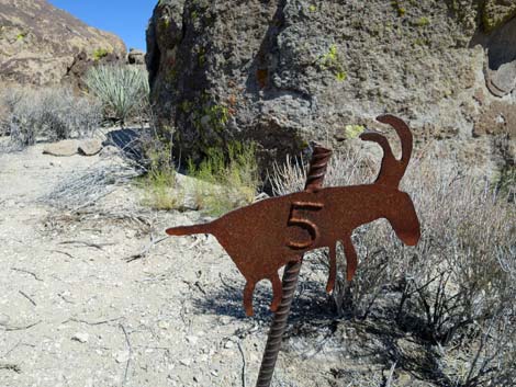
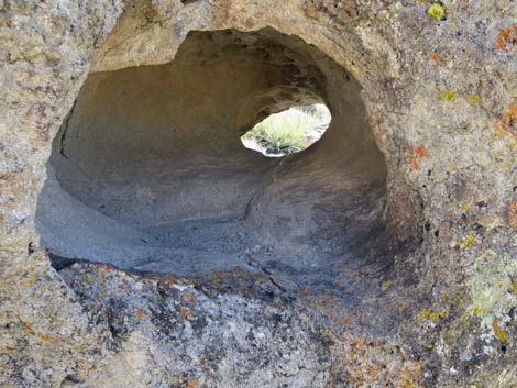
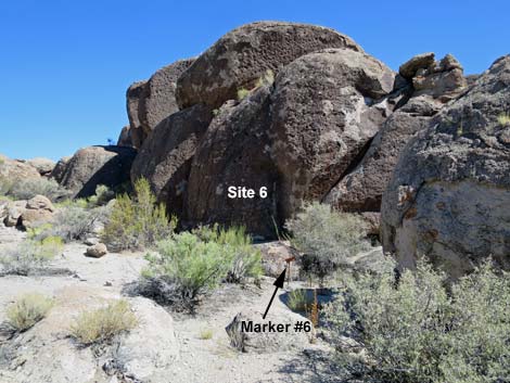
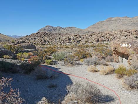
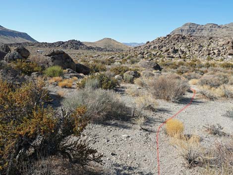
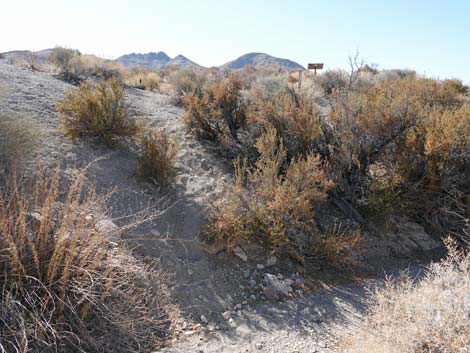
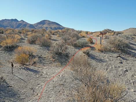
Just before reaching the rocky ridge, Marker #5 comes into view. Site 5 is a single boulder with an interesting tunnel all the way through (not visible on the approach). The tunnel is marked with petroglyphs, and it is thought that the entire tunnel was painted with pictographs. Continuing a few yards farther southeast, Marker #6 comes into view at the base of a dark rock wall. Site 6 is the rock wall, which is covered with many curious petroglyphs. This is the largest collection of petroglyphs in this area. From Marker #6, the route returns towards the trailhead. Hikers can return to First Boulder (Wpt. 03) and then turn down Crystal Wash, or they can hike southwest running more parallel to the wash until it is convenient to drop into the sandy wash-bottom. Regardless, heading down Crystal Wash, hikers should watch for the sign-in register (Wpt. 02), which will be visible atop the wash bank on the left. From the sign-in register, the route returns over the old road to the trailhead (Wpt. 01). |
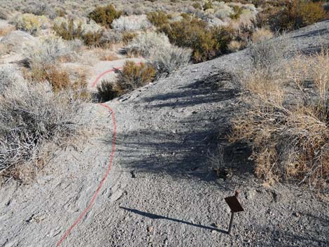 Route passes directional arrow and drops steeply into the wash |
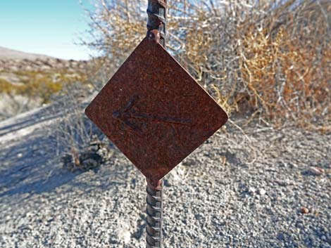 Directional arrow (view NE) |
 The route drops steeply into Crystal Wash (view NE) |
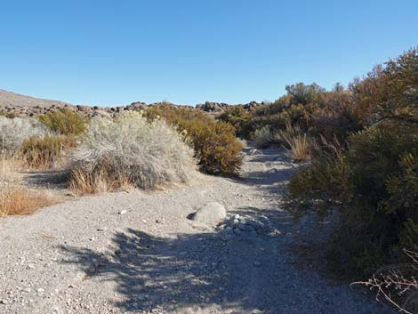
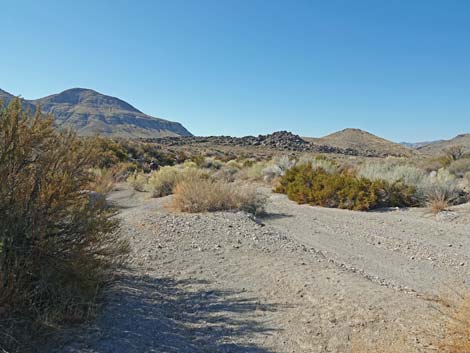
 The route turns up Crystal Wash (view NE) |
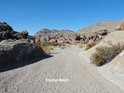
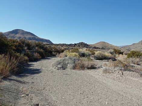
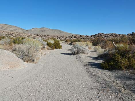 Crystal Wash opens up a bit (view N) |
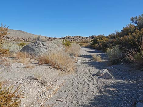
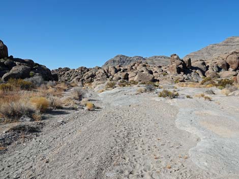
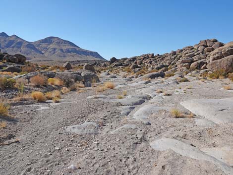
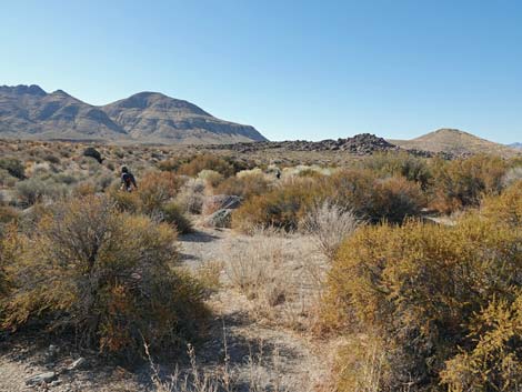
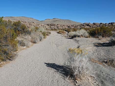 Route runs up Crystal Wash (view N) |
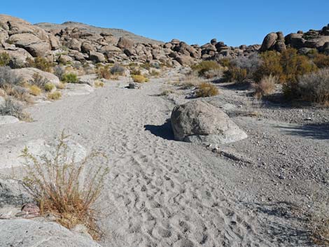 Route runs up Crystal Wash (view N) |
 The marker for Site 2 comes into view (view NE) |
 Approaching First Boulder and Site 1 (view NE) |
 First Boulder (before Site 1; view NE) |
 Confusing directional arrow just before First Boulder (view NE) |
 Confusing directional arrow just before First Boulder (view NE) |
 Small petroglyph on north side of boulder before Site 1 (view W) |
 Small petroglyph on backside of boulder before Site 1 (close up) |
 Approaching Marker #1 (Nov 2020: sign is missing; view NE) |
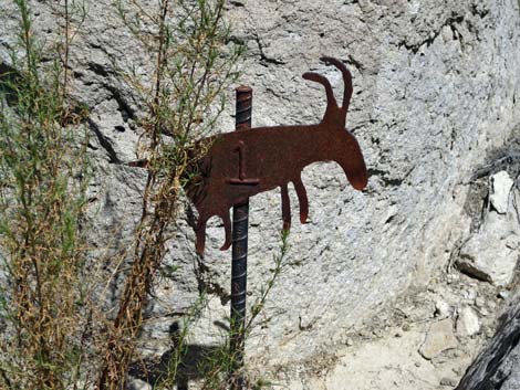 Marker #1 (Nov 2020: sign is missing; view NE) |
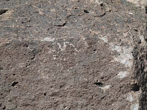
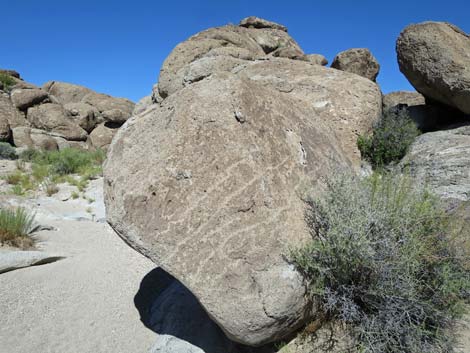
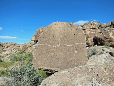 Site 1: Boulder with horizontal line (view NE) |
 Route continues from Site 1, across the wash, to Site 2 (view W) |
 Approaching Marker 2 (view W) |
 Marker #2 (view W) |
 Site 2: petroglyphs in cleft at base of cliff (view NW) |
 Departing Site 2 (view NE) |
 Continuing up Crystal Wash towards Site 3 (view NE) |
 Continuing up Crystal Wash towards Site 3 (view NE) |
 Continuing up Crystal Wash towards Site 3 (view NE) |
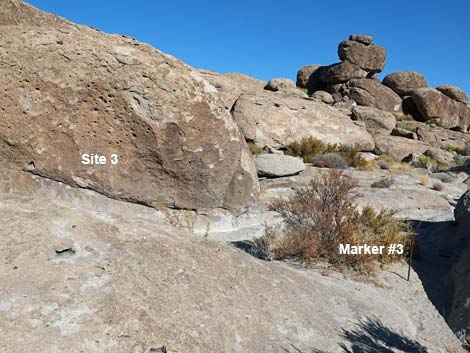 Arriving at Marker #3 (Site 3 in background; view N) |
 Approaching Marker #3 (view NW) |
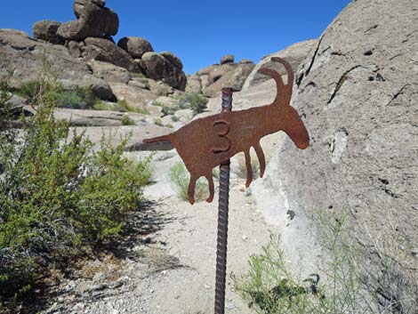 Marker #3 (view N) |
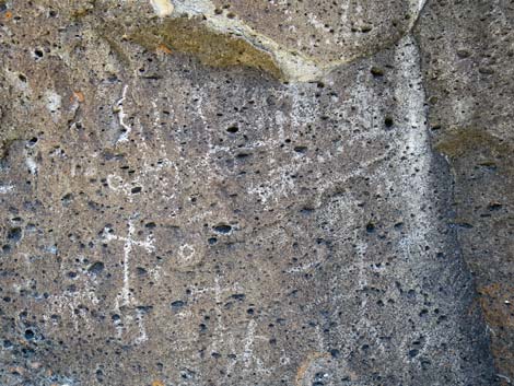
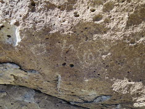 Site 3 petroglyphs (view NW) |
 Departing Site 3 and continuing up Crystal Wash (view E) |
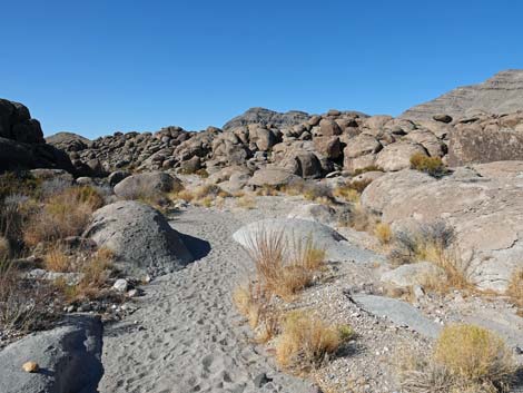
 Continuing up Crystal Wash (view E) |
 Continuing up Crystal Wash (view E) |
 Continuing up Crystal Wash (view E) |
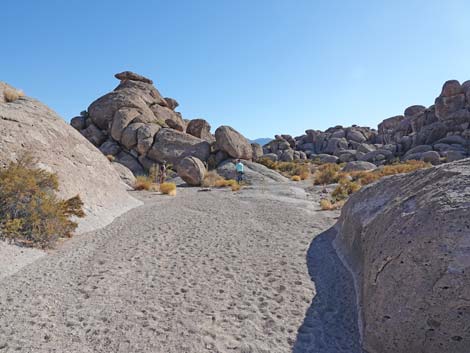 Continuing up Crystal Wash (view E) |
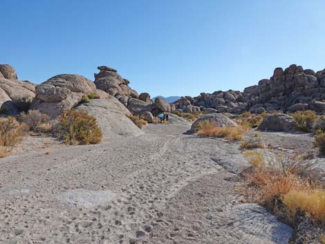
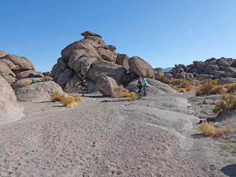 Arriving at Site 4 (view E) |
 Approaching Marker #4 (view NE) |
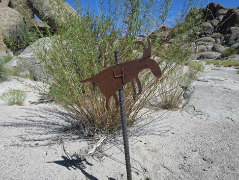 Site 4 marker (view N) |
 Site 4: Southwest face (view NE) |
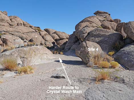 Hikers can continue up the harder left fork to Crystal Wash Main Site |
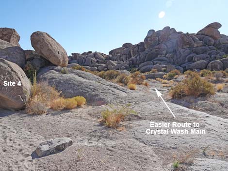 Hikers can continue up the easy right fork to Crystal Wash Main Site |
 Departing Site 4 heading down Crystal Wash (view SW) |
 Continuing down Crystal Wash (view W) |
 Continuing down Crystal Wash (view W) |
 Continuing down Crystal Wash (view W) |
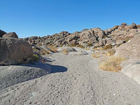 Continuing down Crystal Wash (view W) |
 Continuing down Crystal Wash (view SW) |
 Returning towards Site 1 (view SW) |
 Returning towards First Boulder (view SW) |
 Route continues left of First Boulder (view S) |
Passing First Boulder again (view SW) |
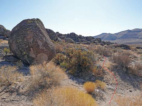 Faint use-trail passes right of a boulder (view SE) |
 Faint use-trail passes right of another boulder with arrow (view ES) |
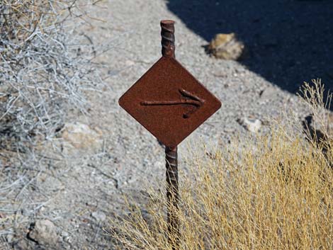 Directional arrow (view NE) |
 Faint use-trail continues towards Site 5 and Site 6 (view SE) |
 Approaching Site 5 (view SE) |
 Arriving at Marker #5 (view SE) |
 Marker #5: Boulder with cavity (view SE) |
 Site 5: Boulder with cavity (view S) |
 Continuing towards Site 6 (view SE) |
 Marker #6 (view SE) |
 Site 6. Petroglyphs on cliff (view S) |
 Near Site 6, departing past Site 5 towards the trailhead (view W) |
 Hikers need to find their own route through the bushes (view W) |
 Route winds through the bushes (view SW) |
 Route winds through the bushes (view SW) |
 Route winds through the bushes (view SW) |
 Route enters a side wash (view SW) |
 Route runs down a side wash (view SW) |
 Route runs down a side wash (view SW) |
 Side wash joins Crystal Wash (view SW) |
 Route runs down Crystal Wash (view SW) |
 Hikers exiting Crystal Wash (view SW) |
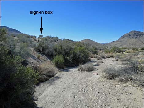 From the wash, sign-in register box becomes visible (view SW) |
 Use-trail climbs steeply out of Crystal Wash (view S) |
 Use-trail passes arrow and returns towards sign-in box (view SW) |
 Returning to the sign-in box (view SW) |
 From sign-in box, old road leads towards trailhead (view SW) |
 Returning past the borrow pit (view SE) |
 Approaching the gate and the trailhead (view SE) |
 Returning to the gate and the trailhead (view SE) |
Table 1. Hiking Coordinates based on GPS data (NAD27; UTM Zone 11S). Download Hiking GPS Waypoints (*.gpx) file.
| Wpt. | Location | UTM Easting | UTM Northing | Elevation (ft) | Point-to-Point Distance (mi) | Cumulative Distance (mi) | Verified |
|---|---|---|---|---|---|---|---|
| 01 | Crystal Wash Entrance Trailhead | 661405 | 4157318 | 4,051 | 0.00 | 0.00 | GPS |
| 02 | Crystal Wash Entrance Register | 661410 | 4157328 | 4,047 | 0.09 | 0.09 | GPS |
| 03 | Crystal Wash Entrance Rock Art | 661554 | 4157592 | 4,049 | 0.20 | 0.29 | GPS |
| 04 | Crystal Wash Entrance Marker #1 | 661568 | 4157603 | 4,054 | 0.01 | 0.30 | GPS |
| 05 | Crystal Wash Entrance Marker #2 | 661546 | 4157615 | 4,049 | 0.02 | 0.32 | GPS |
| 06 | Crystal Wash Entrance Marker #3 | 661613 | 4157645 | 4,060 | 0.06 | 0.38 | GPS |
| 07 | Crystal Wash Entrance Marker #4 | 661757 | 4157635 | 4,069 | 0.10 | 0.48 | GPS |
| 08 | Crystal Wash Entrance Marker #5 | 661594 | 4157526 | 4,079 | 0.20 | 0.68 | GPS |
| 09 | Crystal Wash Entrance Marker #6 | 661607 | 4157512 | 4,085 | 0.01 | 0.69 | GPS |
| 01 | Crystal Wash Entrance Trailhead | 661405 | 4157318 | 4,051 | 0.25 | 0.95 | GPS |
Happy Hiking! All distances, elevations, and other facts are approximate.
![]() ; Last updated 240323
; Last updated 240323
| Rock Art | Glossary | Copyright, Conditions, Disclaimer | Home |