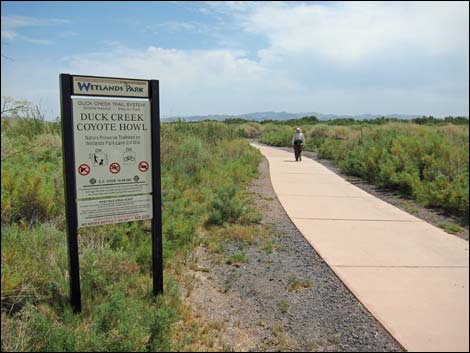
Clark County Wetlands Park
Birding Around Las Vegas, Urban Las Vegas Valley
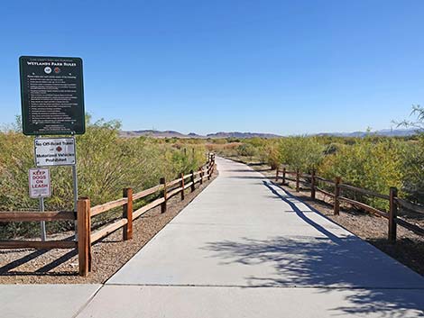
 Duck Creek Trailhead Duck Creek Trailhead |
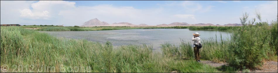
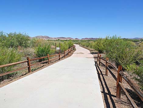
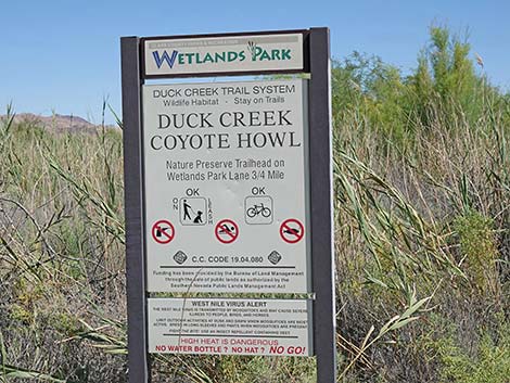
Description Duck Creek, on the southeast side of the Las Vegas Valley, is part of the Clark County Wetlands Park and right along Las Vegas Wash. In recent years, Clark County, in partnership with Duck Unlimited, has dredged and sculpted six ponds near the wash. The ponds attract large numbers of ducks, shorebirds, and other wetland species (e.g., grebes, herons, and rails), plus a few oddities such as Scissor-tailed Flycatcher and Red-throated Pipit. This is also a good place to see dragonflies. The 0.4-mile walk out to the edge of the ponds is paved and nearly level. Dirt roads run along the west edge of the ponds and along the south end. High water, creeks, and dense vegetation prevent making a complete loop. The area was being managed to prevent tall vegetation from taking over and crowding out the birds and bird watchers, but they don't always do a very good job. Birders can also walk out to the Lower Duck Creek area along Las Vegas Wash downstream from the Duck Creek Ponds. Wetlands restoration in this area seems to change frequently, sometimes affecting access to this area. |
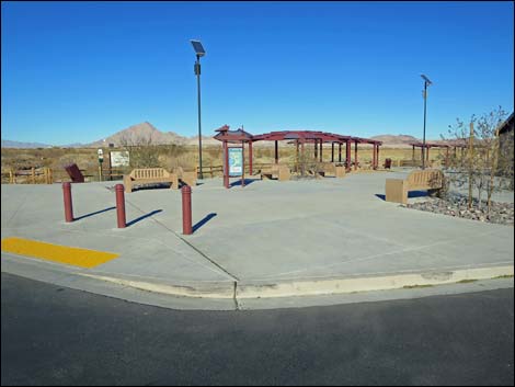
 Duck Creek Picnic Area and Restrooms (view E) |
Look for sparrows in the screwbean mesquite thickets planted along the trail. About 250 yards out, the trail forks. The better birding seems to be on the southern ponds, so stay to the right. After a total of about 0.4 miles, the paved trail ends at the edge of a very wide dirt road (Dragonfly Divide Road). The ponds are across the road. All paved trails end at Dragonfly Divide. Bird the ponds working south along Dragonfly Divide, then swing to the east around the south side of the last pond and head east towards Las Vegas Wash, which is a total of 0.4 miles from the end of the paved trail. After birding along the wash, turn around and walk back to Dragonfly Divide, then continue birding the west side of the ponds or walk up the dirt roads between the ponds (recently, roads between the ponds have had "closed area" signs). |
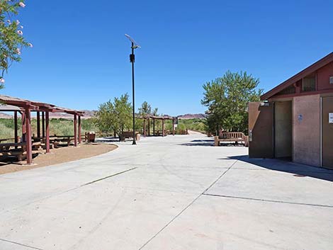
 Start of Duck Creek -- Coyote Howl Trail (view E) |
Location Link to Overview Map, Detailed Trails Map, or Duck Creek Ponds and Las Vegas Wash map. Download official brochure map (PDF). Duck Creek Trailhead is located in the southeast corner of the Las Vegas Valley. From downtown, drive south on Highway 93-95 and exit onto Tropicana eastbound. Drive east until Tropicana bends right in a broad, 45-degree turn and becomes Broadbent Blvd. Continue on Broadbent to the Duck Creek Trailhead, on the left. Park here; this is the trailhead (Site 0711). For details, see Duck Creek Trailhead. From the trailhead, two paved trails run eastward towards the Duck Creek Ponds. The main trail, the Duck Creek -- Coyote Howl Trail runs directly out the back of the picnic area. This trail forks, with the left fork becoming the Duck Creek Trail, and the right fork becoming the Coyote Howl Trail. These trails access the Duck Creek Ponds. The other trail leaving the trailhead (Quail Run Trail) exits the parking lot northbound just north of the picnic area. This trail is a good way to walk to the Wetlands Park Visitor Center. |
 |
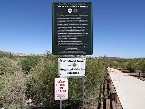
Hours Always open, dawn to dusk. Fees None. Specialties This is a good place to find waterfowl, shorebirds, grebes, cormorants, herons and other species associated with water, such as Osprey. Check the mud flats for Long-billed Dowitcher (keep an eye out for rare Short-billed Dowitcher too), Least Sandpiper, various sparrows (e.g., Vesper Sparrow and Savannah Sparrow), and the occasional Pectoral Sandpiper or other interesting migrant. Keep an eye out for Sora too. Open water attracts ducks and wading birds. |
 |
The birding can be good, as evidenced by the list of birds seen by Las Vegas birder Randy Michal on September 27, 2009: Eared Grebe, Pied-billed Grebe, Least Bittern, Great Blue Heron, Great Egret, Snowy Egret, Green Heron, White-faced Ibis, Mallard, Cinnamon Teal, Green-winged Teal, Ruddy Duck, Peregrine Falcon, Osprey, Gambel's Quail, Common Gallinule, American Coot, Western Sandpiper, Least Sandpiper, Greater Yellowlegs, Killdeer, Mourning Dove, Verdin, Black Phoebe, Say's Phoebe, Loggerhead Shrike, Northern Rough-winged Swallow, Barn Swallow, Marsh Wren, Black-tailed Gnatcatcher, Abert's Towhee, Orange-crowned Warbler, Yellow-rumped Warbler, Savannah Sparrow, White-crowned Sparrow, Song Sparrow, Yellow-headed Blackbird, Red-winged Blackbird, Great-tailed Grackle. Also seen that day: Pectoral Sandpiper, Black-necked Stilt, Sora, Brewer's Sparrow, Red-throated Pipit, and Common Merganser. |
Duck Creek and Coyote Howl Trails
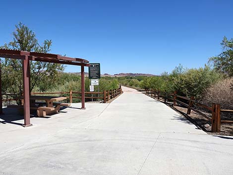
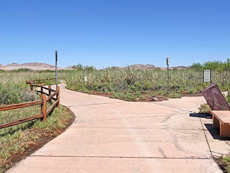
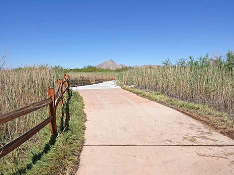
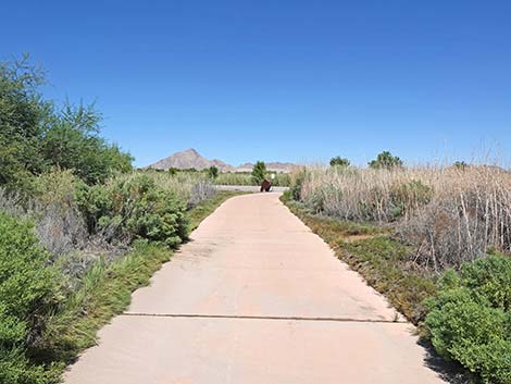
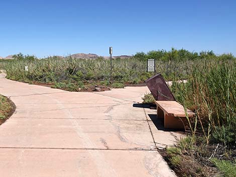
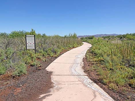
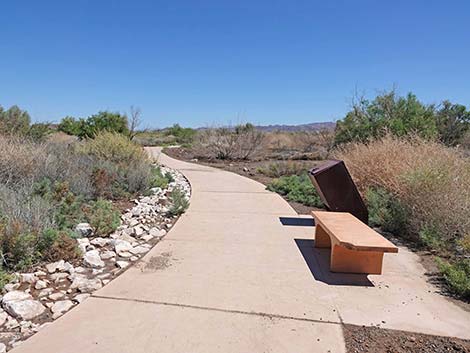
Departing from the back of the picnic area, the paved and accessible Duck Creek -- Coyote Howl Trail runs east into damp shrublands for about 200 yards to a fork where the Duck Creek and Coyote Howl trails split. There is a bench and trash can at the fork.
 Start of Duck Creek -- Coyote Howl Trail (view E) |
 Sign near start of Duck Creek -- Coyote Howl Trail (view E) |
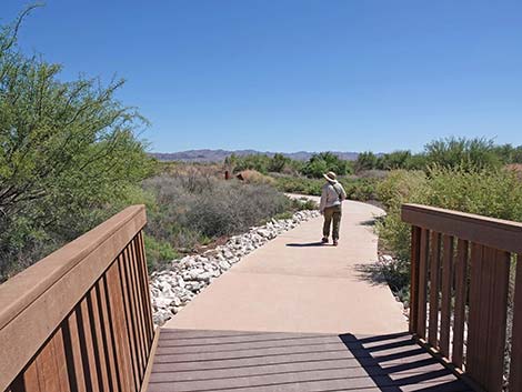
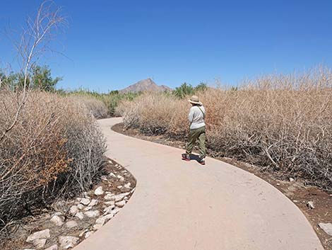
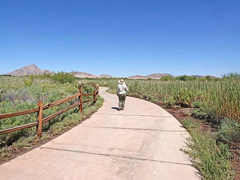 Birder on Duck Creek -- Coyote Howl Trail (view E) |
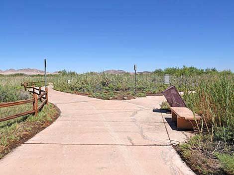 Duck Creek -- Coyote Howl Trail forks at a bench (view E) |
Left Fork: Duck Creek Trail
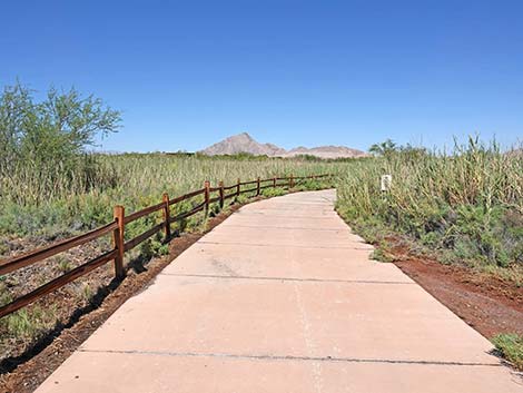
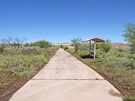
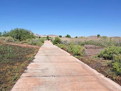
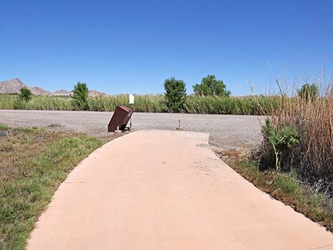
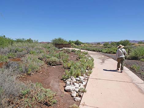
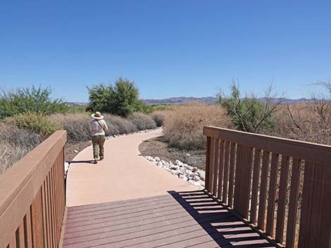
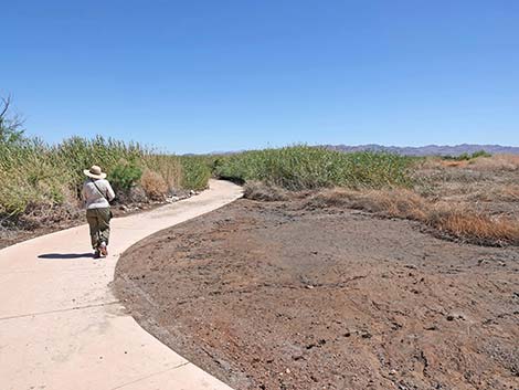
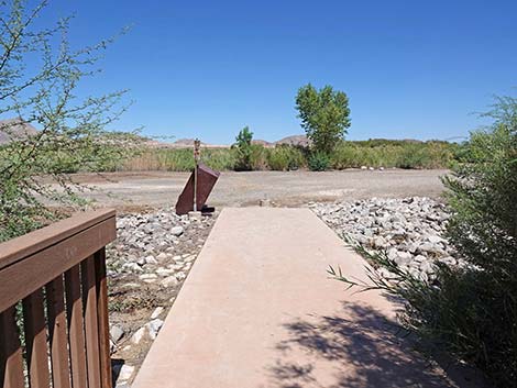
From the fork, the paved and accessible Duck Creek Trail continues northeast across damp shrublands. The trail passes a shaded bench, and at about 240 yards past the fork (440 yards total), the Duck Creek Trail ends at an intersection with Dragonfly Divide, a broad gravel service road (not open to private vehicles).
 Duck Creek Trail stays left at the fork (view NE) |
 Duck Creek Trail (view NE) |
 Duck Creek Trail (view NE) |
 Duck Creek Trail passing swampy soils (view NE) |
 Duck Creek Trail approaching a shaded bench (view NE) |
 Duck Creek Trail (view NE) |
 Duck Creek Trail (view NE) |
 Duck Creek Trail nearing the end (view NE) |
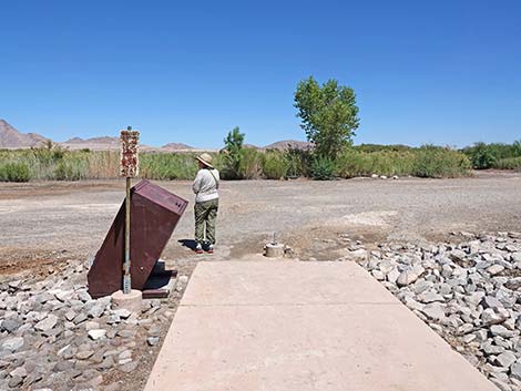
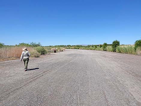
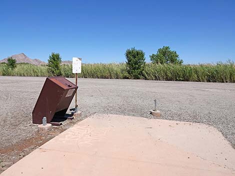 Duck Creek Trail at Dragonfly Divide Service Road (view E) |
 Dragonfly Divide Service Road (view N from Duck Creek Trail) |
Right Fork: Coyote Howl Trail
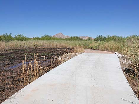
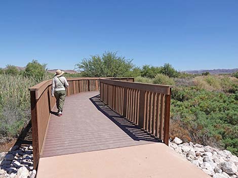
The paved and accessible Coyote Howl Trail continues east across damp shrublands. The trail crosses a three bridges over creeks and passes one bench with a trash can. At about 450 yards past the fork (650 yards total), the Coyote Howl Trail ends at an intersection with Dragonfly Divide, a broad gravel service road (not open to private vehicles).
 Coyote Howl Trail stays right at the fork (view E) |
 Coyote Howl Trail stays right at the fork (view E) |
 Sign along the Coyote Howl Trail (view E) |
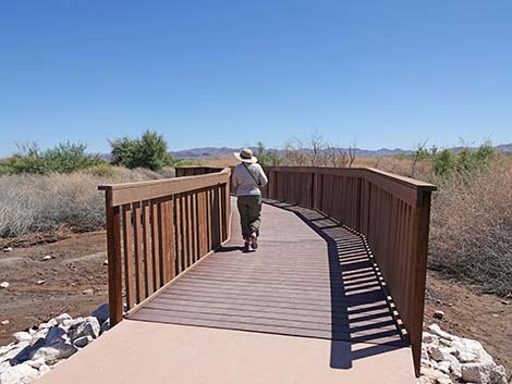
 Birder approaching first bridge on Coyote Howl Trail (view E) |
 Birder crossing first bridge on Coyote Howl Trail (view NE) Birder crossing first bridge on Coyote Howl Trail (view NE) |
 Coyote Howl Trail (view SE) |
 Coyote Howl Trail at a bench and trash can (view E) |
 Birder crossing second bridge on Coyote Howl Trail (view SE) |
 Birder exiting second bridge on Coyote Howl Trail (view SE) |
 Coyote Howl Trail (view N) |
 Coyote Howl Trail (view E) |
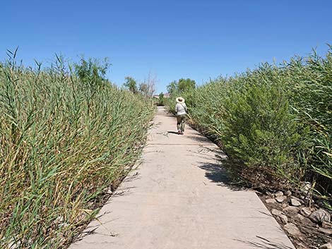 Coyote Howl Trail (view NE) |
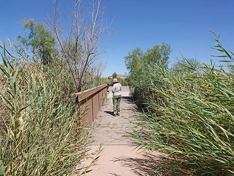 Birder crossing third bridge on Coyote Howl Trail (view NE) |
 Approaching end of paved Coyote Howl Trail (view NE) |
 Coyote Howl Trail at Dragonfly Divide Service Road (view NE) |
 Dragonfly Divide Service Road (view SE from Coyote Howl Trail) |
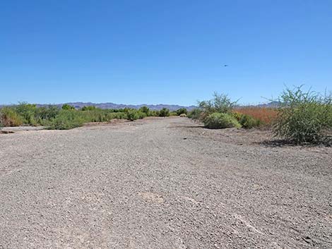
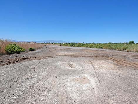
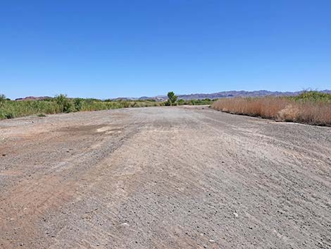
Dragonfly Divide Service Road
 Dragonfly Divide Service Road (view N from Duck Creek Trail) |
 One of the Duck Creek Pond Trails (view E from near Coyote Howl) |
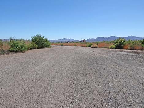
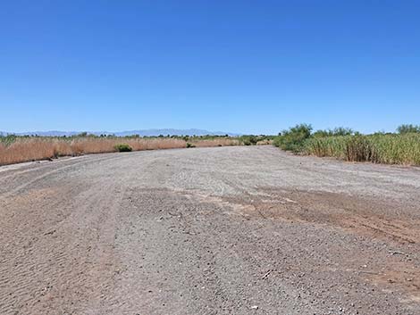 Dragonfly Divide Service Road (view N) |
 Dragonfly Divide Service Road (view N) |
 Another of the Duck Creek Pond Trails (view E) |
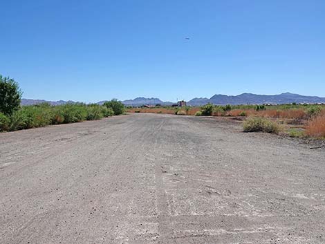
 Dragonfly Divide Service Road approaching Duck Creek Trail (view N) |
 Dragonfly Divide Service Road (view S from Duck Creek Trail) |
 Dragonfly Divide Service Road (view S from Duck Creek Trail) |
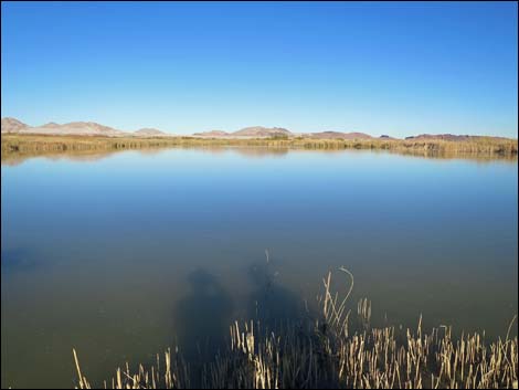
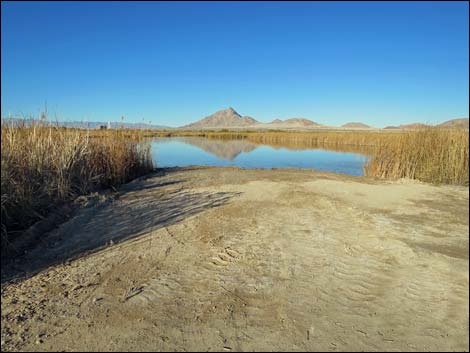
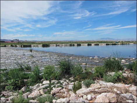
The Duck Creek Mitigation Ponds
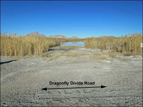 Viewing port through vegetation (view NE from Dragonfly Divide Rd) |
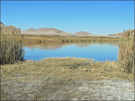 Viewing port through pond-side vegetation |
 Pond as seen through viewing port |
 Viewing port through pond-side vegetation |
Plants, Animals, and Scenery
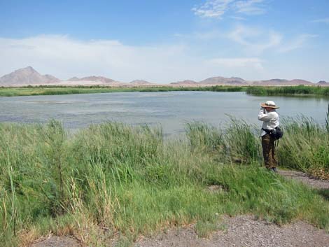 Birding over one of the Duck Creek ponds |
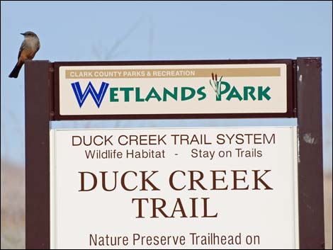 Say's Phoebe on sign near trailhead |
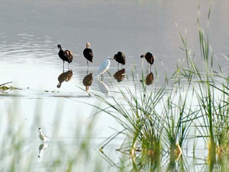 Four White-faced Ibis and a Snowy Egret |
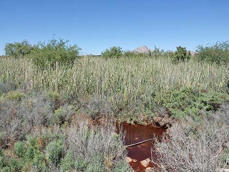 Water and salty-wetland plants |
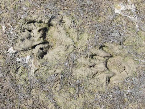 Watch for other species too: raccoon prints in the mud |
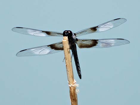 Watch for other species too: Dragonflies |
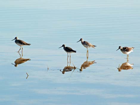 Greater Yellowlegs in shallow water. Also watch for American Avocets and Black-necked Stilts in these habitats. |
 Beyond the south-most pond, the trail runs up to Las Vegas Wash. Keep an eye out for spiny softshell turtles. |
 The top of the weir. They don't show in the photo, but there are two Common Mergansers resting on the rocks, plus Brewers Blackbirds, Great-tailed Grackle, Savannah Sparrow, Song Sparrow, and a Green Heron. And don't forget the dragonflies! |
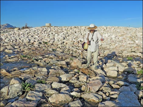
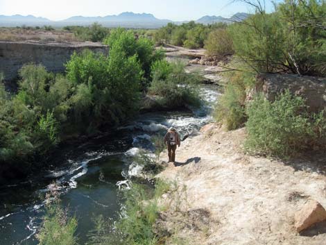 Hiker along Las Vegas Wash upstream from the ponds. This little-used and somewhat dangerous route connects to the southeast-most trail in the Wetlands Park, proper, but it is easier and safer to just walk north along Dragonfly Divide Road. |
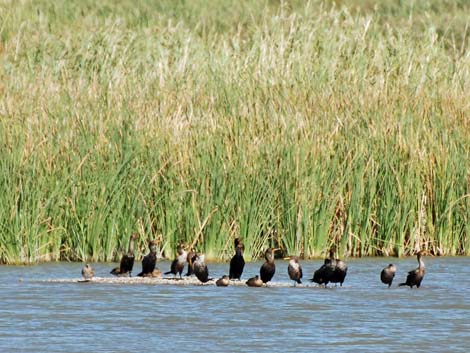 Double-crested Cormorants and Mallards on a sandbar |
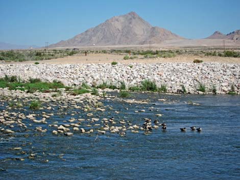 Canada Geese in Las Vegas Wash |
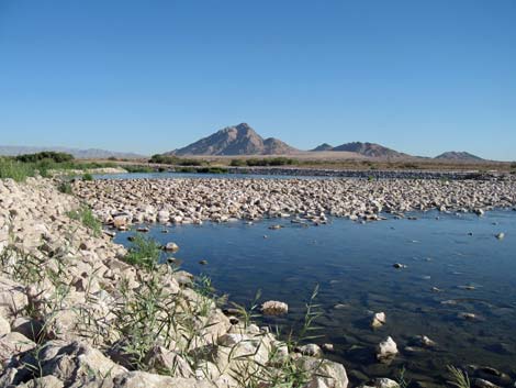
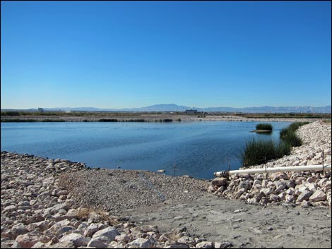 Las Vegas Wash at Lower Duck Creek Area (view NW) |
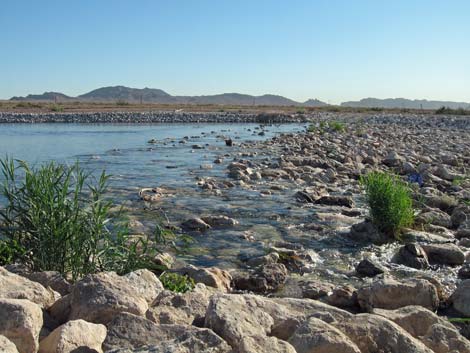
 Las Vegas Wash at Lower Duck Creek Area (view W) |
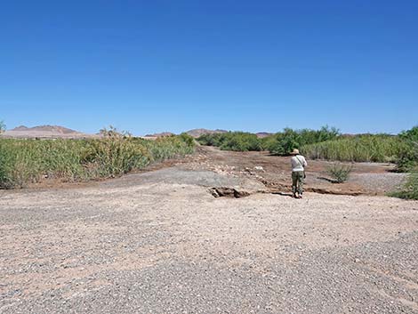
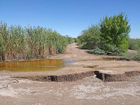
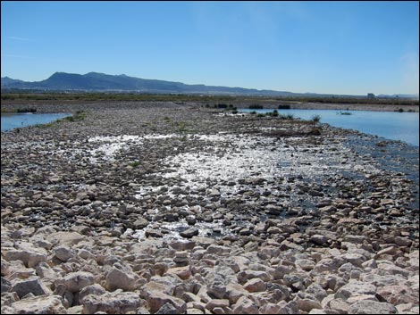
 Crossing a weir at low water levels (view NE) |
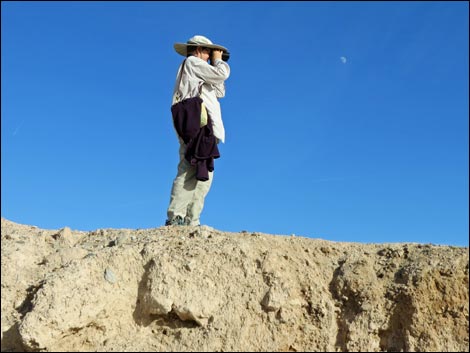 Birding from a highpoint (view E) |
 Weir at higher water (don't cross at high water!) |
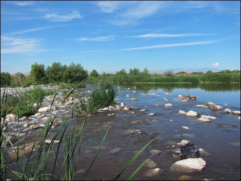 Weir at higher water (don't cross at high water!) |
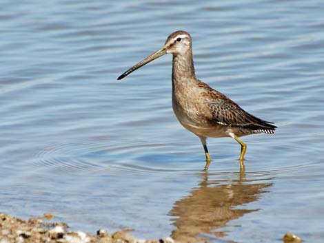 Long-billed Dowitcher |
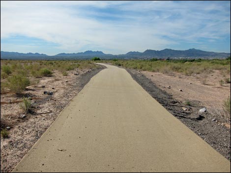 Biking and hiking path on east side of Las Vegas Wash (view S) |
Table 1. Highway Coordinates (NAD27; UTM Zone 11S). Download Highway GPS Waypoints (*.gpx) file.
| Site # | Location | Latitude (°N) | Longitude (°W) | UTM Easting | UTM Northing | Elevation (feet) | Verified |
|---|---|---|---|---|---|---|---|
| 0711 | Duck Creek Park Trailhead | 36.09357 | 115.02321 | 677968 | 3995935 | 1,603 | Yes |
Happy birding! All distances, elevations, and other facts are approximate.
![]() ; Last updated 240323
; Last updated 240323
| Birding Around Las Vegas | Southern Nevada Birds | Guide Service | Copyright, Conditions, Disclaimer | Home |